2.5Km
2.5Km
Note
 1.4Km
1.4Km
1.4Km
1.4Km
1.4Km
2.4Km
2.7Km
2.7Km
2.7Km
2.7Km
1.4Km
1.4Km
1.4Km
1.4Km
1.4Km
2.4Km
2.7Km
2.7Km
2.7Km
2.7Km
2.5Km
3.2Km
4Km
4.3Km
4.4Km
5.2Km
6.8Km
6.8Km
7.4Km
7.5Km
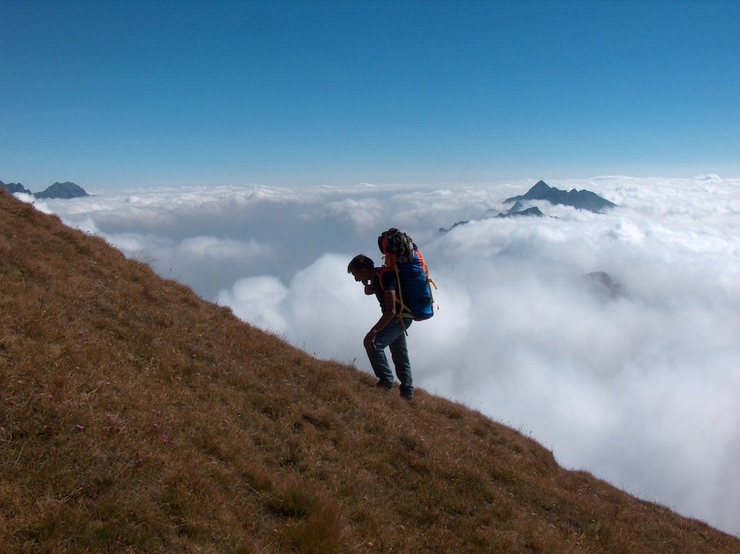
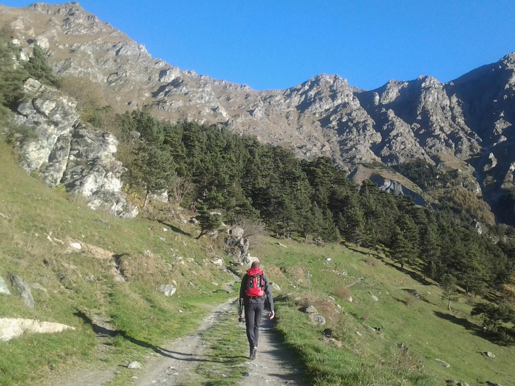
Tappa escursionistica e in parte alpinistica
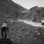
Ripidi prati, facili roccette e un tratto di II grado. In tutto il percorso, gli aggiramenti sono sempre sconsigliabili essendo la roccia friabilissima. Conviene quindi tenersi sempre in cresta.
Acqua solo (forse) al colle della Corce di Ferro e al lago dei Muret, ma qui occorre perdere circa 100 metri di dislivello, da risalire.
Per tutti i dettagli della traversata e per la sua storia consultare l'itinerario della prima tappa Caselette- Colle del Lis
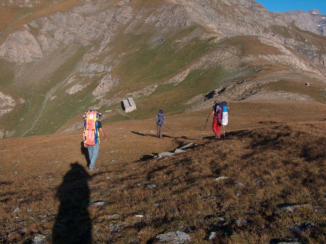
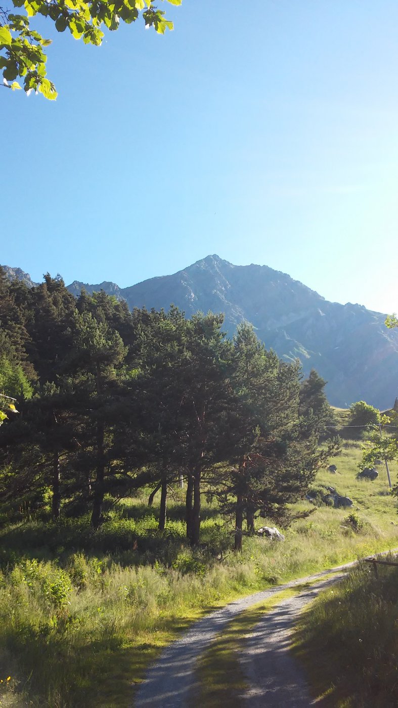
Avvicinamento
Ripidi prati, facili roccette e un tratto di II grado. In tutto il percorso, gli aggiramenti sono sempre sconsigliabili essendo la roccia friabilissima. Conviene quindi tenersi sempre in cresta.
Acqua solo (forse) al colle della Corce di Ferro e al lago dei Muret, ma qui occorre perdere circa 100 metri di dislivello, da risalire.
Per tutti i dettagli della traversata e per la sua storia consultare l'itinerario della prima tappa Caselette- Colle del Lis
.
Descrizione
Lasciando il Col delle Coupe si segue un sentiero che sale per la cresta, finché non la abbandona costeggiandola a sinistra; esso permette, in un’ora, di giungere al Colle Croce dì Ferro, ma non passa sulla cresta..
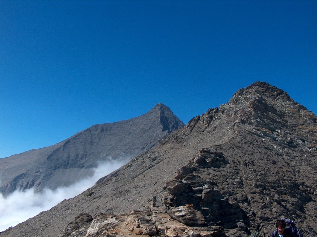
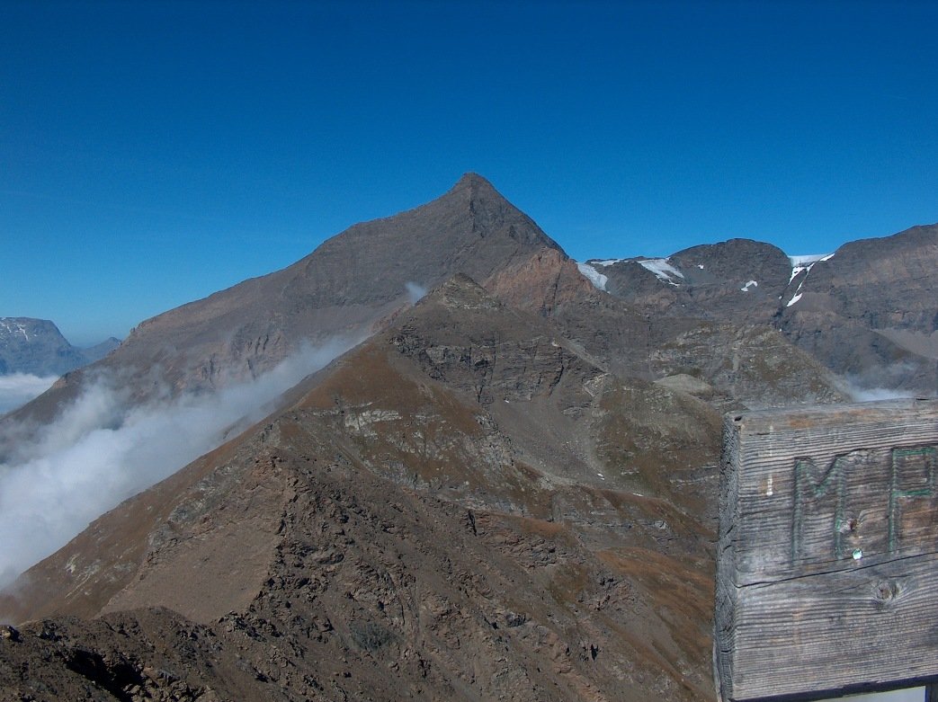
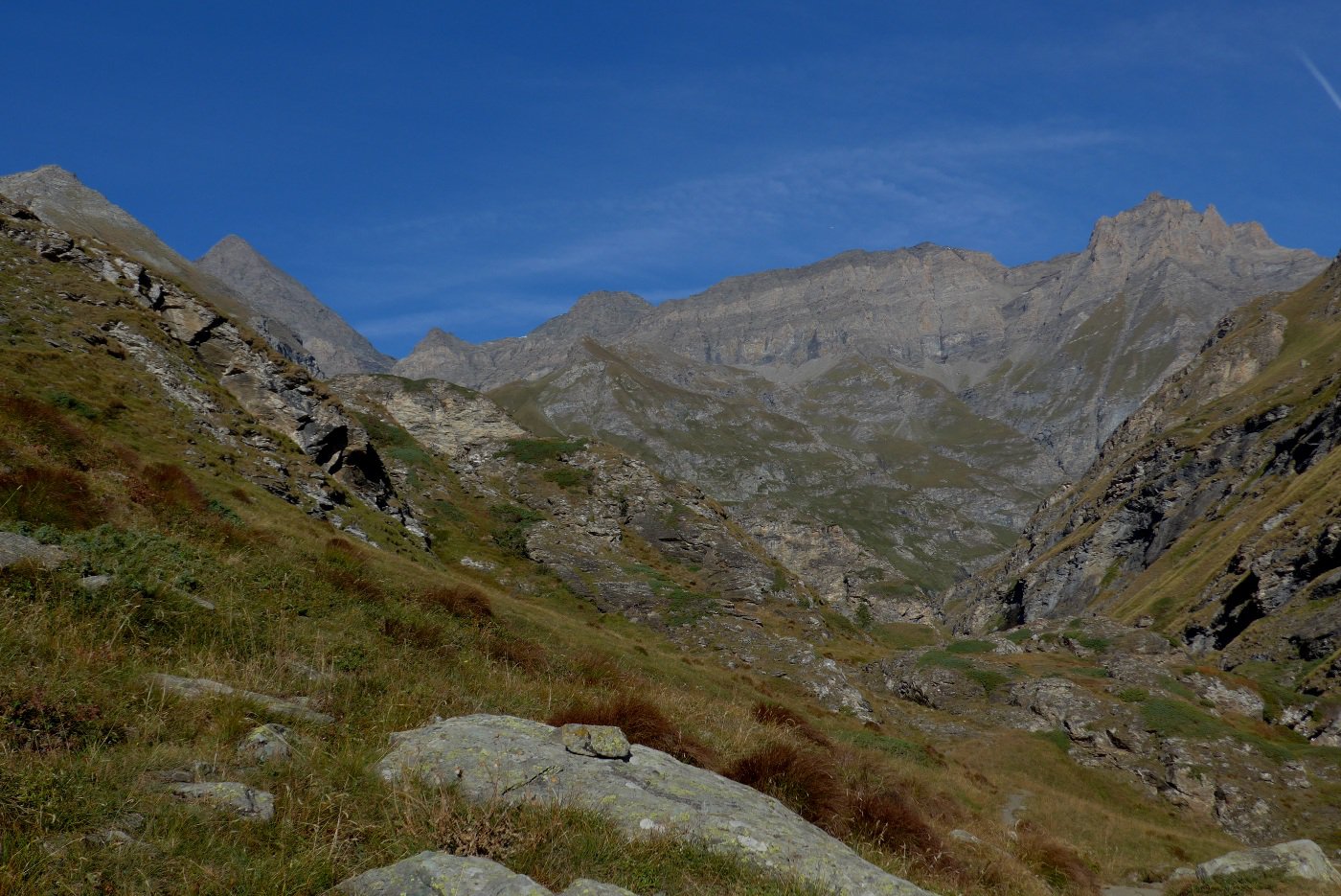
Si continua invece sulla cresta per prati senza difficoltà e si giunge sulla Costa Fenera, 2617 m. Rapida discesa al colle Fenera 2519 m, e si prosegue sulla facile cresta fino alla quota 2620 m. da qui si scende al Colle Croce di Ferro 2546, m. Appena sotto il colle è posto il rifugio Aurelio Ravetto, normalmente gestito nei mesi estivi, con locale invernale sempre aperto. Da questo colle una larga e ripida cresta erbosa, interrotta da alcune facili roccette, permette di raggiungere il Monte Palon, 2965 m.
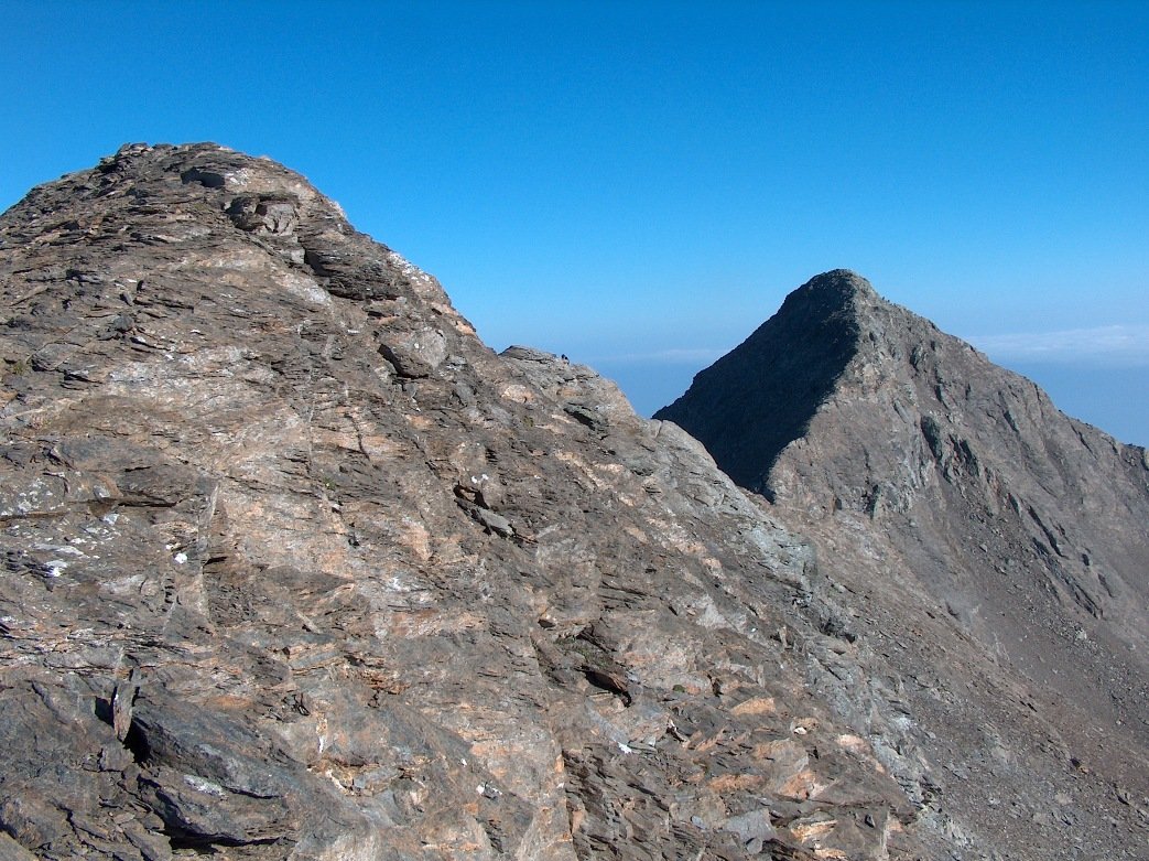
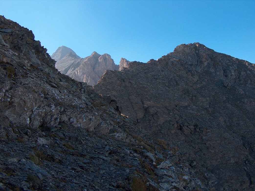
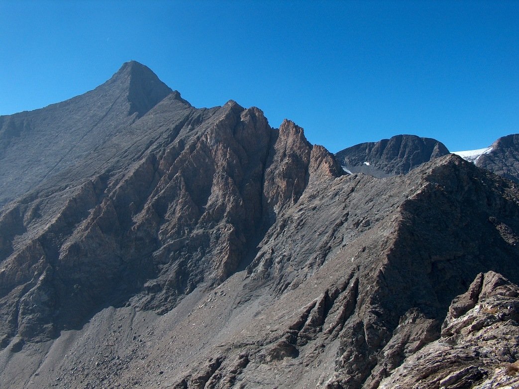
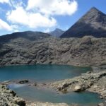
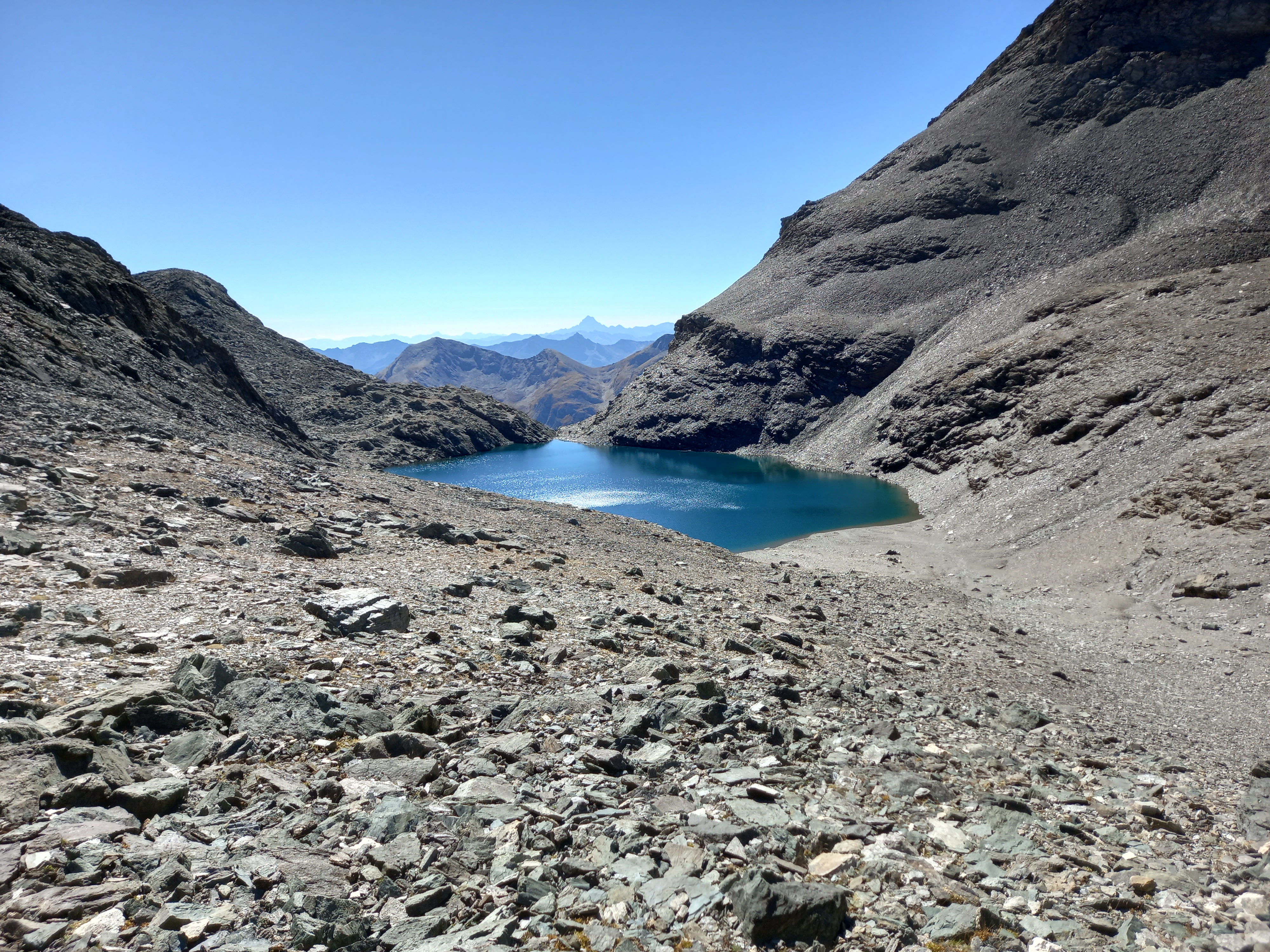
Da esso si scende tramite la facile cresta detritica ed elementari roccette, scavalcando la quota 2889, fino al Passo Muret, 2769 m. La salita ai Muret si presenta anche lei facile fino a un’anticima, segue una forcella poi, per ripide rocce, si supera un gradino. La cresta prosegue con tratti elementari ed alcuni di piacevole arrampicata fino in cima, 3062 m.
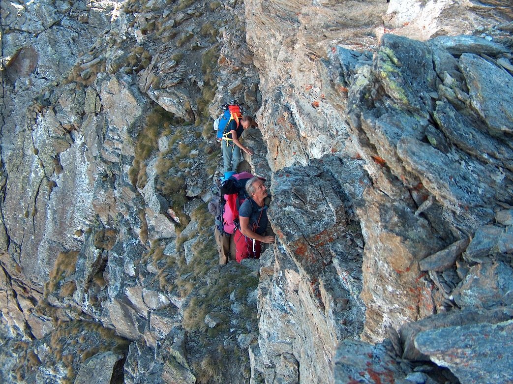
In seguito è tutto facile fino alla base del rilievo roccioso antecedente il passo Brillet 2952 m; qui si incontra il tratto più infido, la roccia è veramente brutta, costeggiarlo è troppo rischioso, occorre passare quindi sul filo del rilievo, tenendosi leggermente sulla destra sfruttando una piccola cengia. Superato il rilievo, rimangono pochi metri di sfasciumi per raggiungere il colle Brillet.
- Cartografia:
- Fraternali n° 8
Nelle vicinanze Mappa
Itinerari
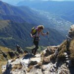
10/08/2025 TO, Chianocco D+ 1300 m EE Sud
Nonna (Punta) da Alpe le Combe per il versante sud
 1.4Km
1.4Km
18/09/2022 TO, Chianocco D+ 1495 m EE Sud-Est
Palon (Monte) da Alpe le Combe per Balmafol e Colle della Croce di Ferro
 1.4Km
1.4Km
29/11/2025 TO, Chianocco D+ 1200 m EE Sud
Fenera (Costa) da Alpe le Combe, anello per il Colle delle Coupe e Colle della Croce di Ferro
 1.4Km
1.4Km
20/06/2015 TO, Bussoleno D+ 1070 m EE/F Sud
Grand’Uja da Alpe le Combe, via diretta del Versante Sud
 1.4Km
1.4Km
18/10/2025 TO, Chianocco D+ 1510 m EE Sud-Ovest
Grand’Uja da Alpe le Combe per il Colle delle Coupe
 1.4Km
1.4Km
05/08/1978 TO, Usseglio D+ 1050 m EE/F Nord
Grand’Uja da Grange Ciapè per il lago Falin
 2.4Km
2.4Km
07/08/2020 TO, Usseglio D+ 1254 m EE/F Nord
Muret (i) da Malciaussia
 2.7Km
2.7Km
08/10/2023 TO, Usseglio D+ 1700 m EE/F Varie
Sulà (Testa) da Malciaussia, anello per i Colli Sulè e Sulà
 2.7Km
2.7Km
12/10/2025 TO, Usseglio D+ 740 m E Nord
Croce di Ferro (Colle della) da Malciaussia
 2.7Km
2.7Km
18/09/2022 TO, Usseglio D+ 1800 m EE Sud-Ovest
Lose Nere (Punta) o Pointe des Lauses Noires e Punta Autaret da Malciaussia
 2.7Km
2.7Km
Servizi
2.5Km
3.2Km
Aurelio Ravetto Rifugio
Chianocco
4Km
il Cotonificio Bar
Chianocco
4.3Km
Il Caminetto Ristorante
Usseglio
4.4Km
La baritlera Ristorante
Chianocco
5.2Km
Tazzetti Rifugio
Usseglio
6.8Km
Furnasa Albergo
Usseglio
6.8Km
Autin B&B
Bruzolo
7.4Km
Zia Rosa Ristorante
Bussoleno
7.5Km