4Km
4Km


Note
 2.3Km
2.9Km
3.3Km
3.3Km
3.4Km
3.6Km
3.6Km
3.6Km
3.8Km
2.3Km
2.9Km
3.3Km
3.3Km
3.4Km
3.6Km
3.6Km
3.6Km
3.8Km
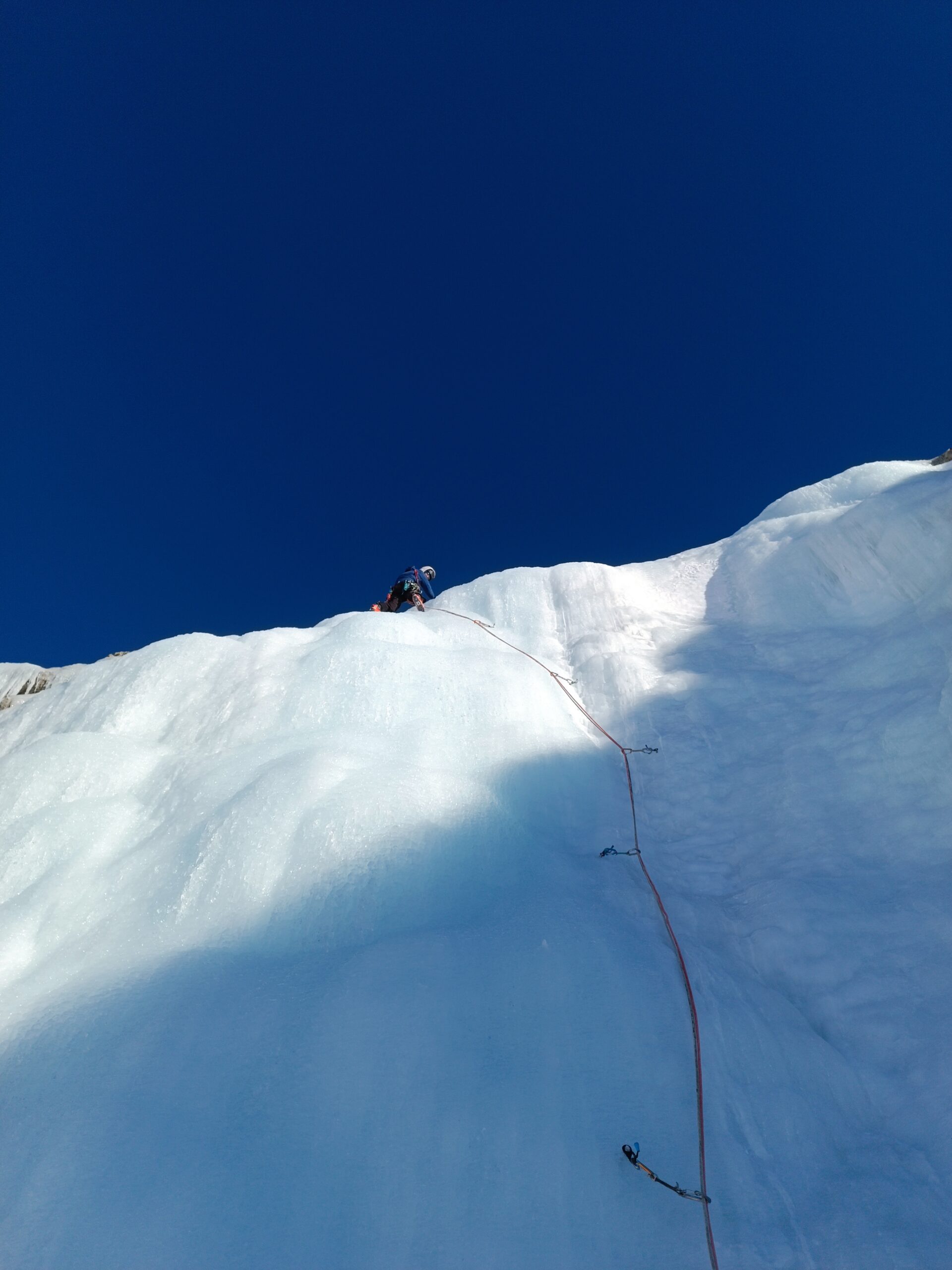
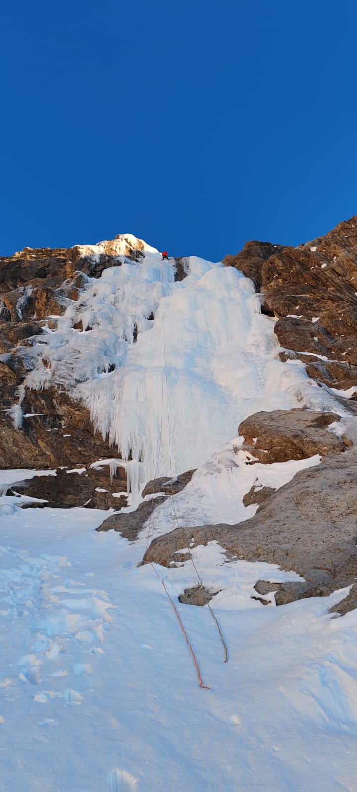
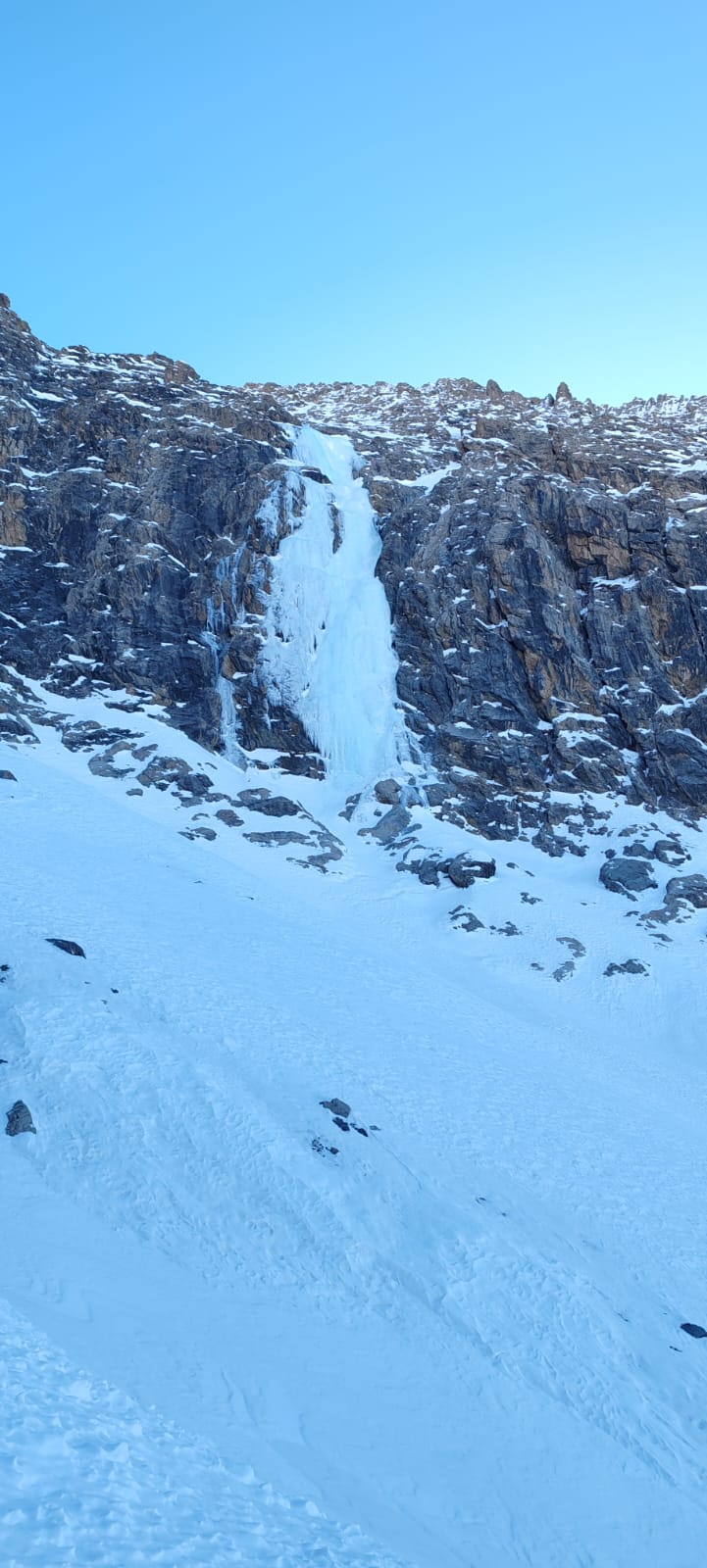
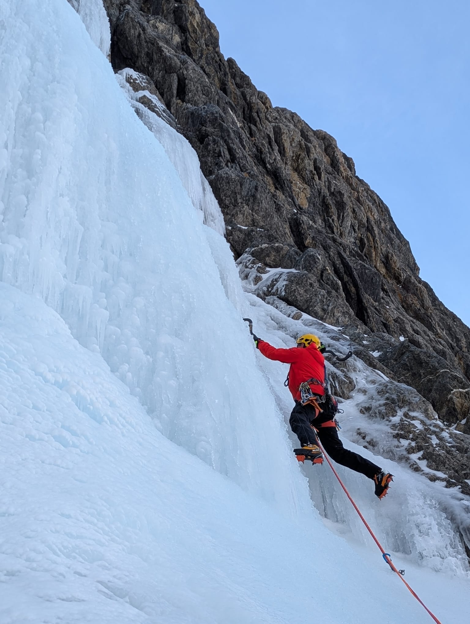
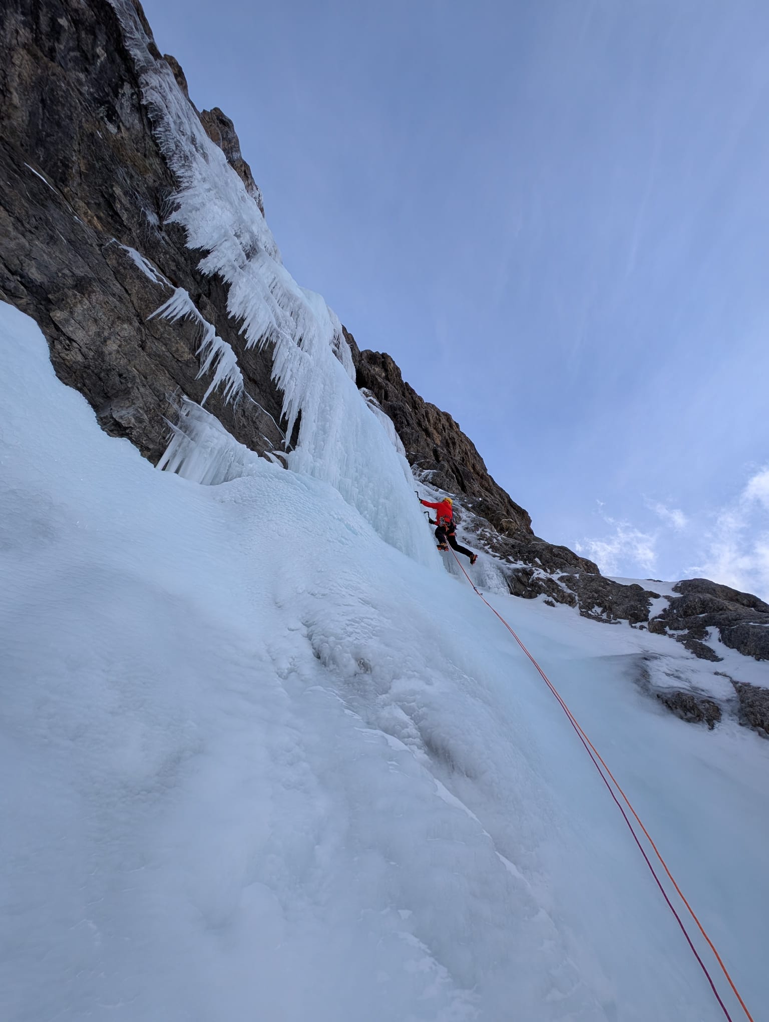
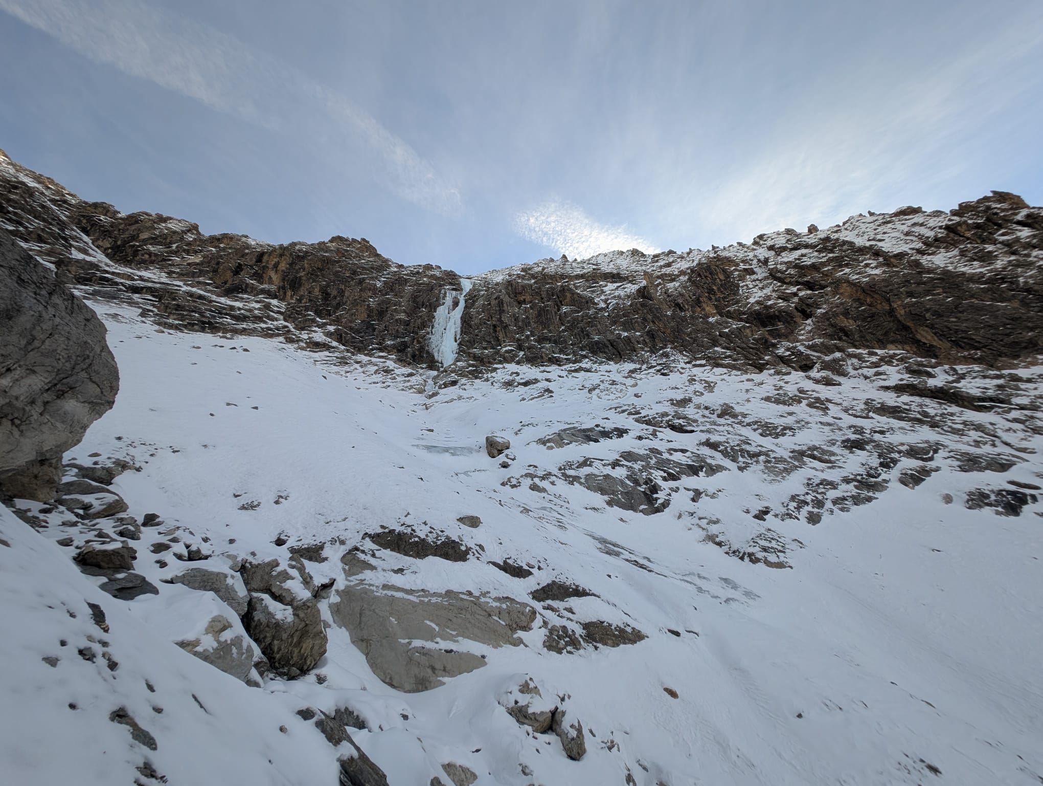
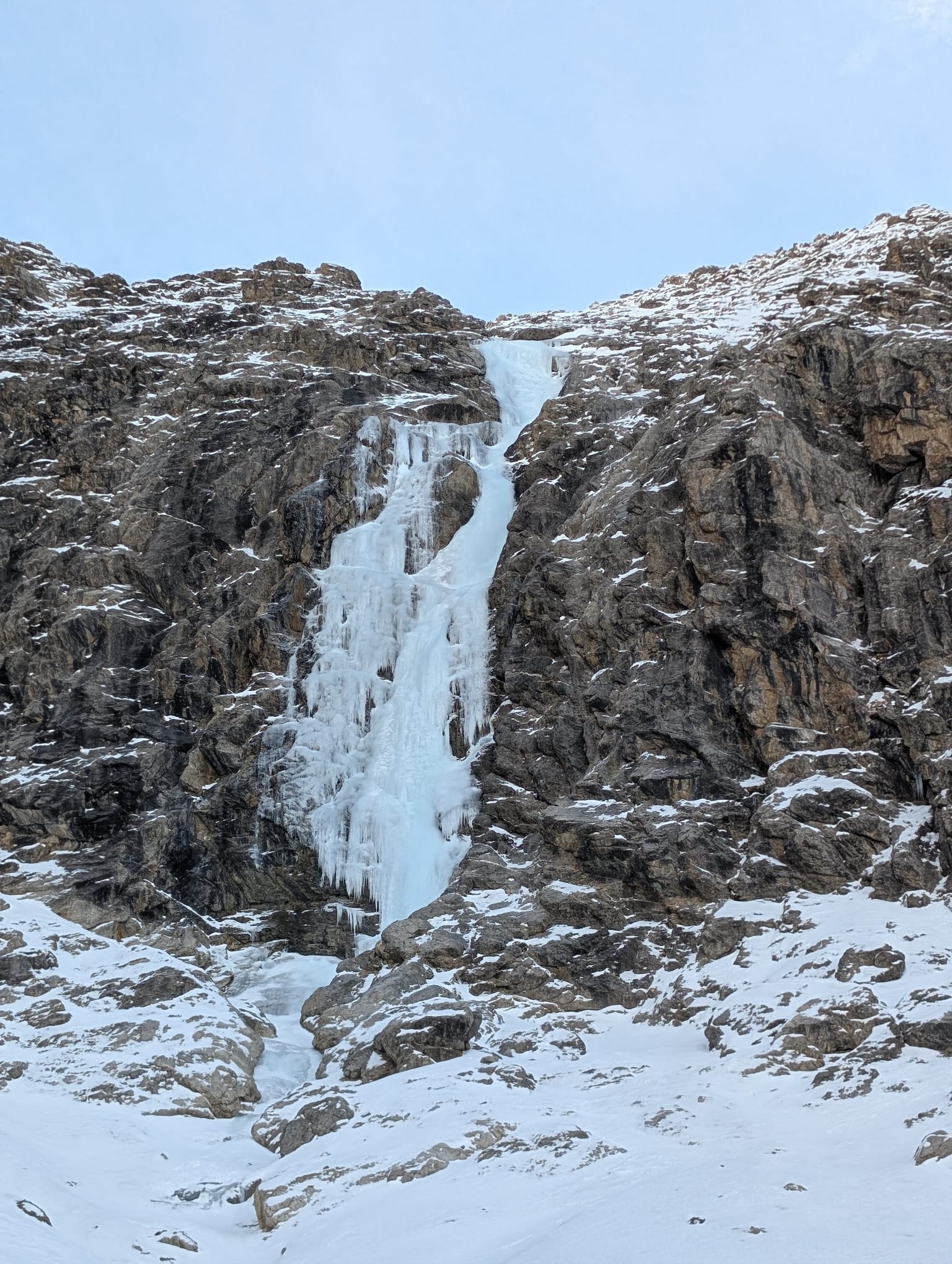
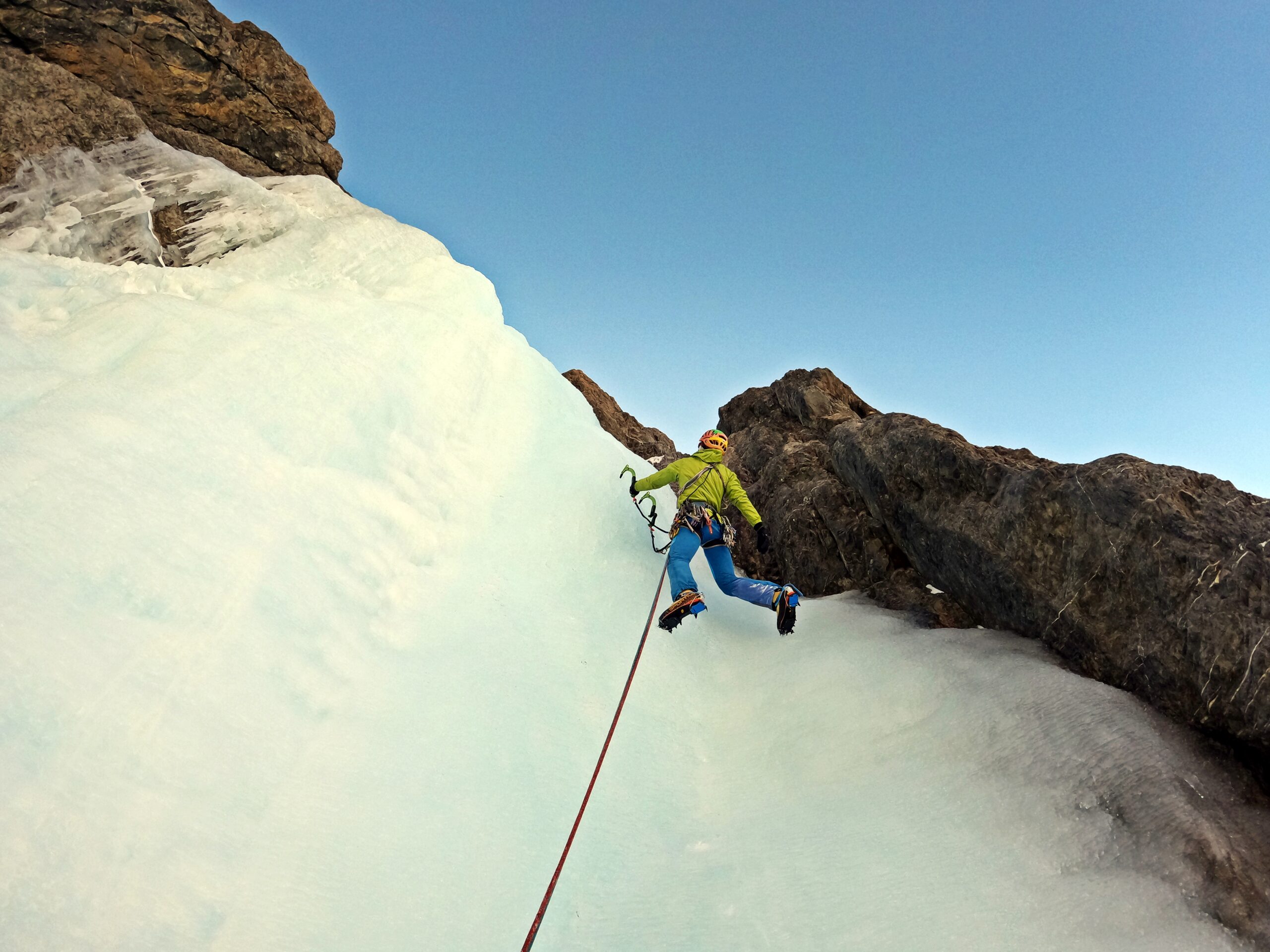
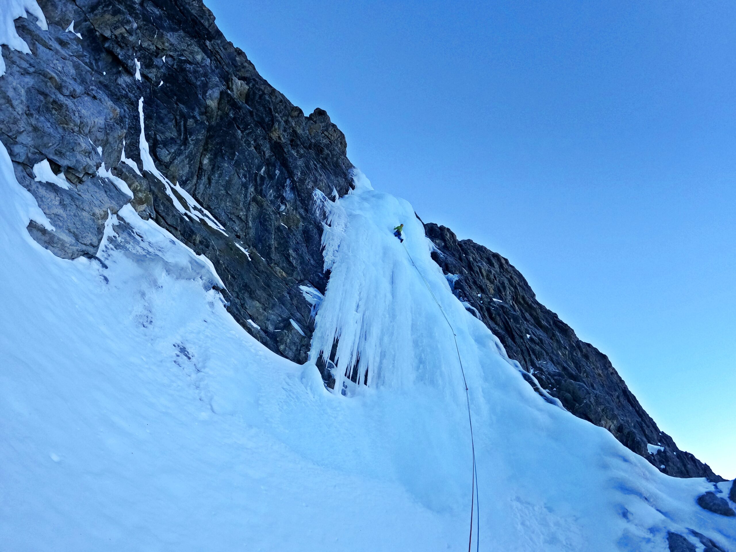
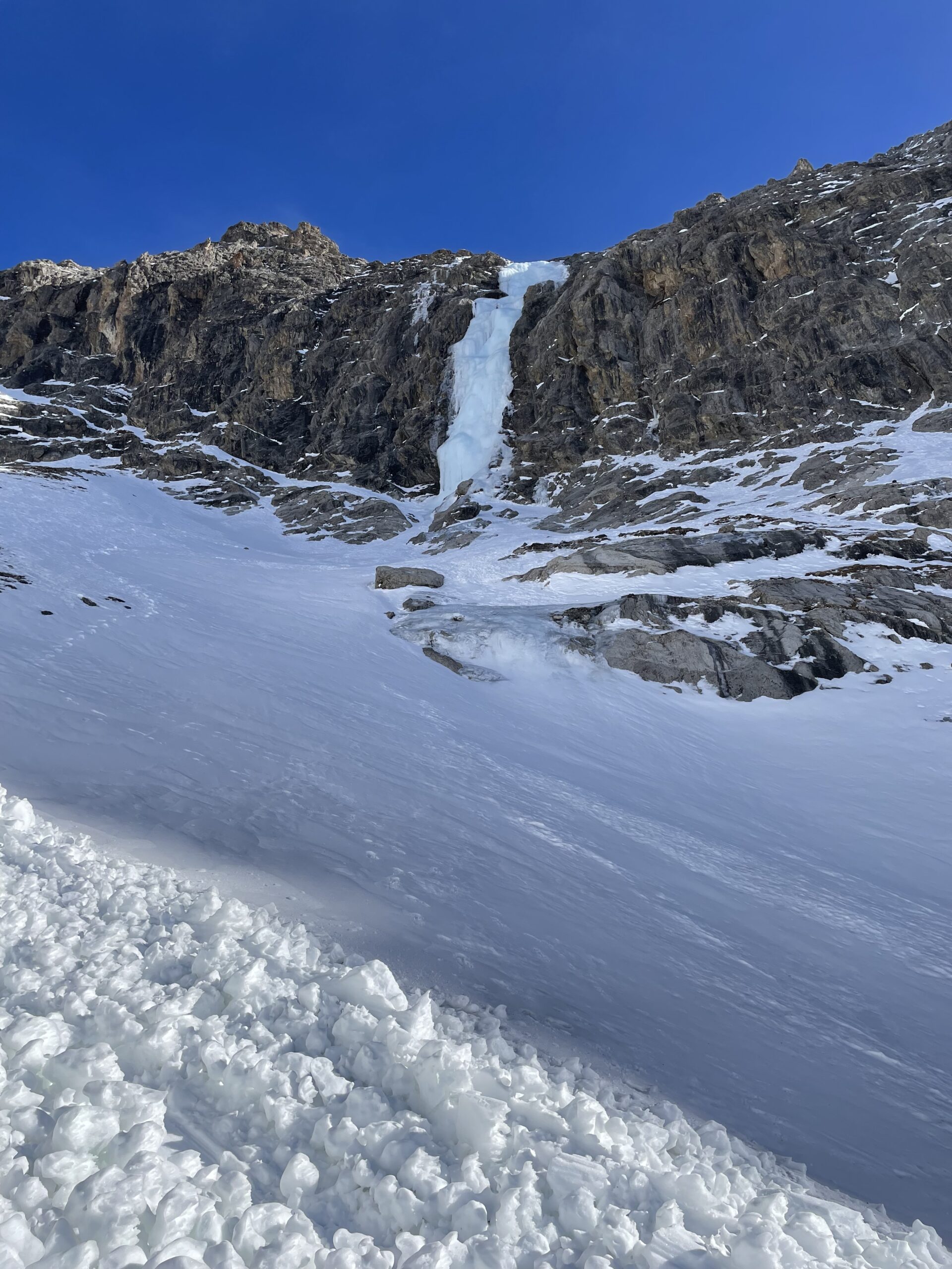
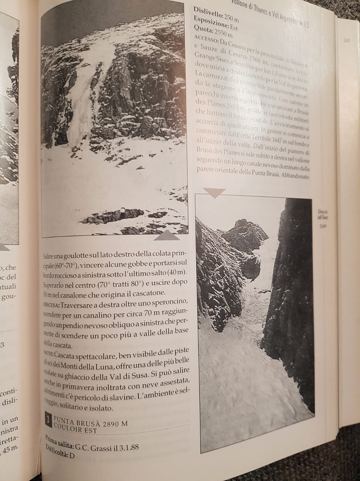
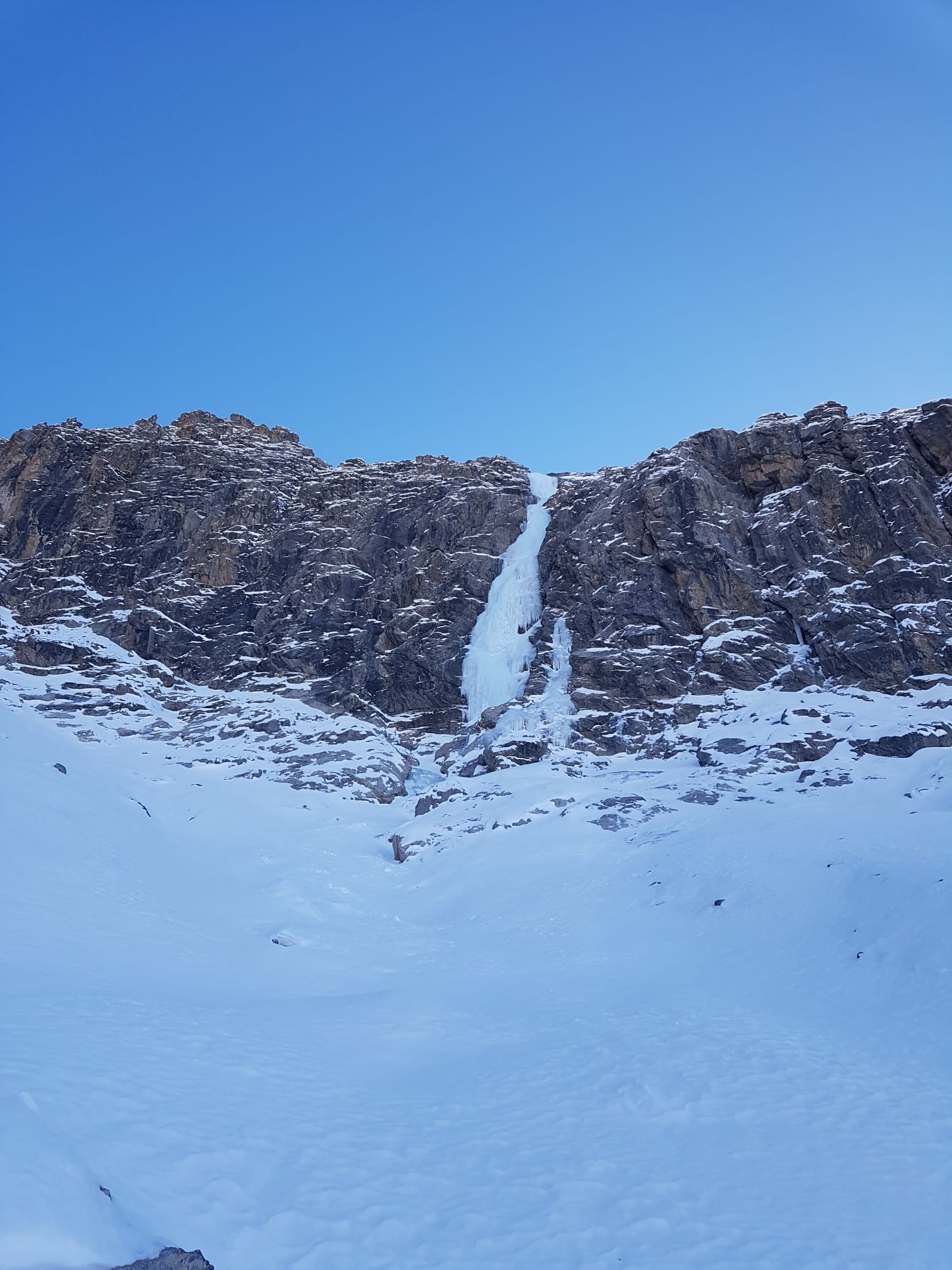
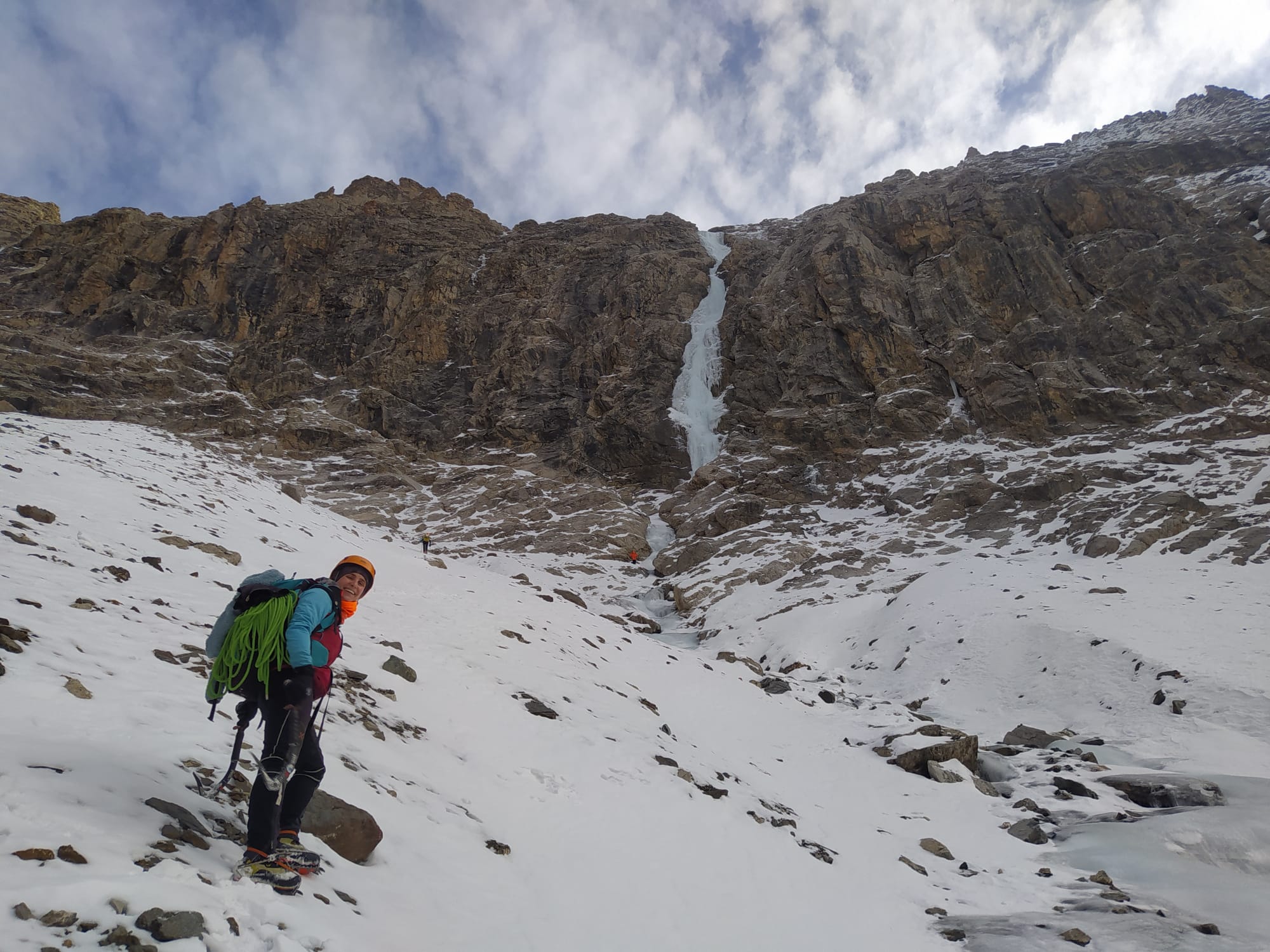
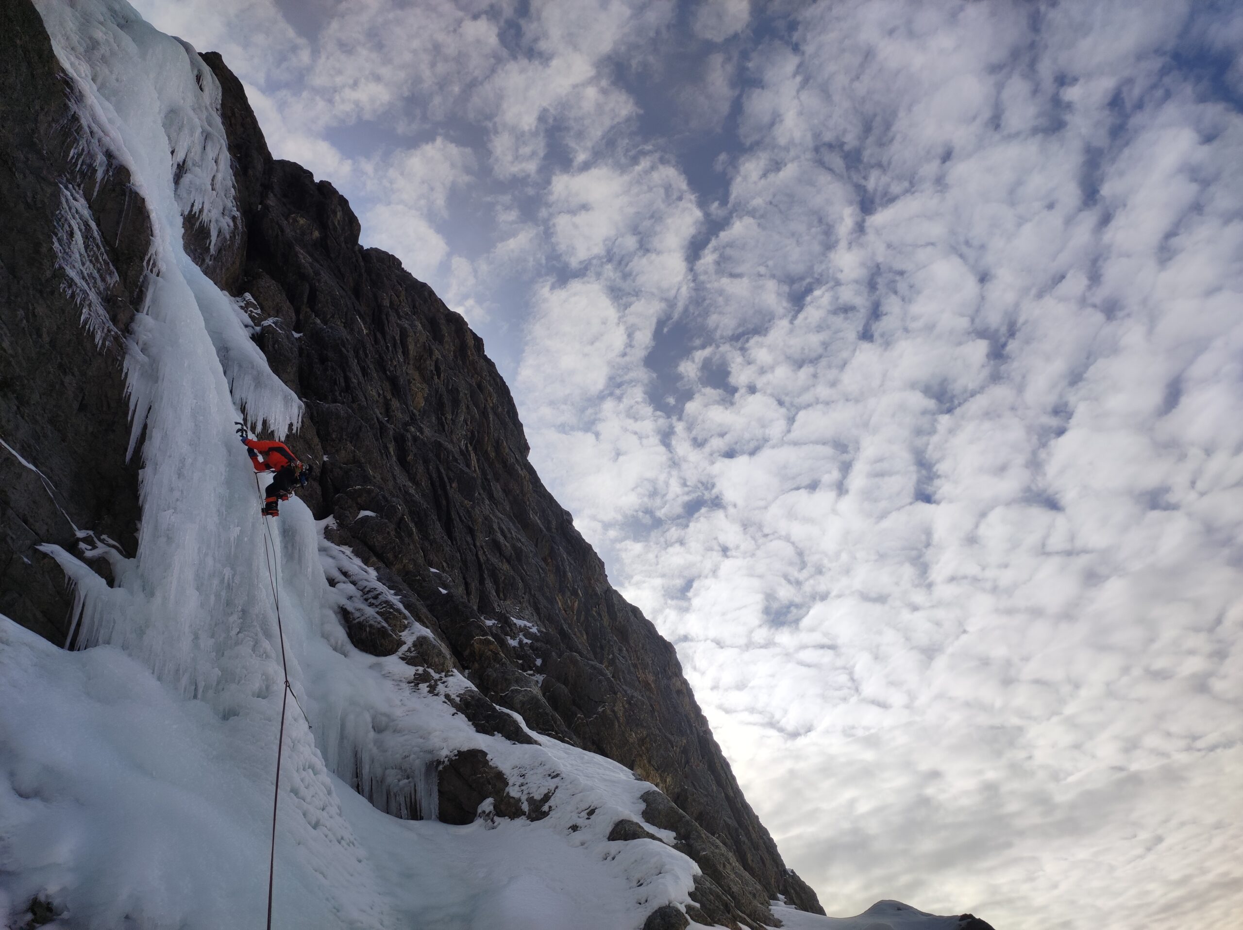
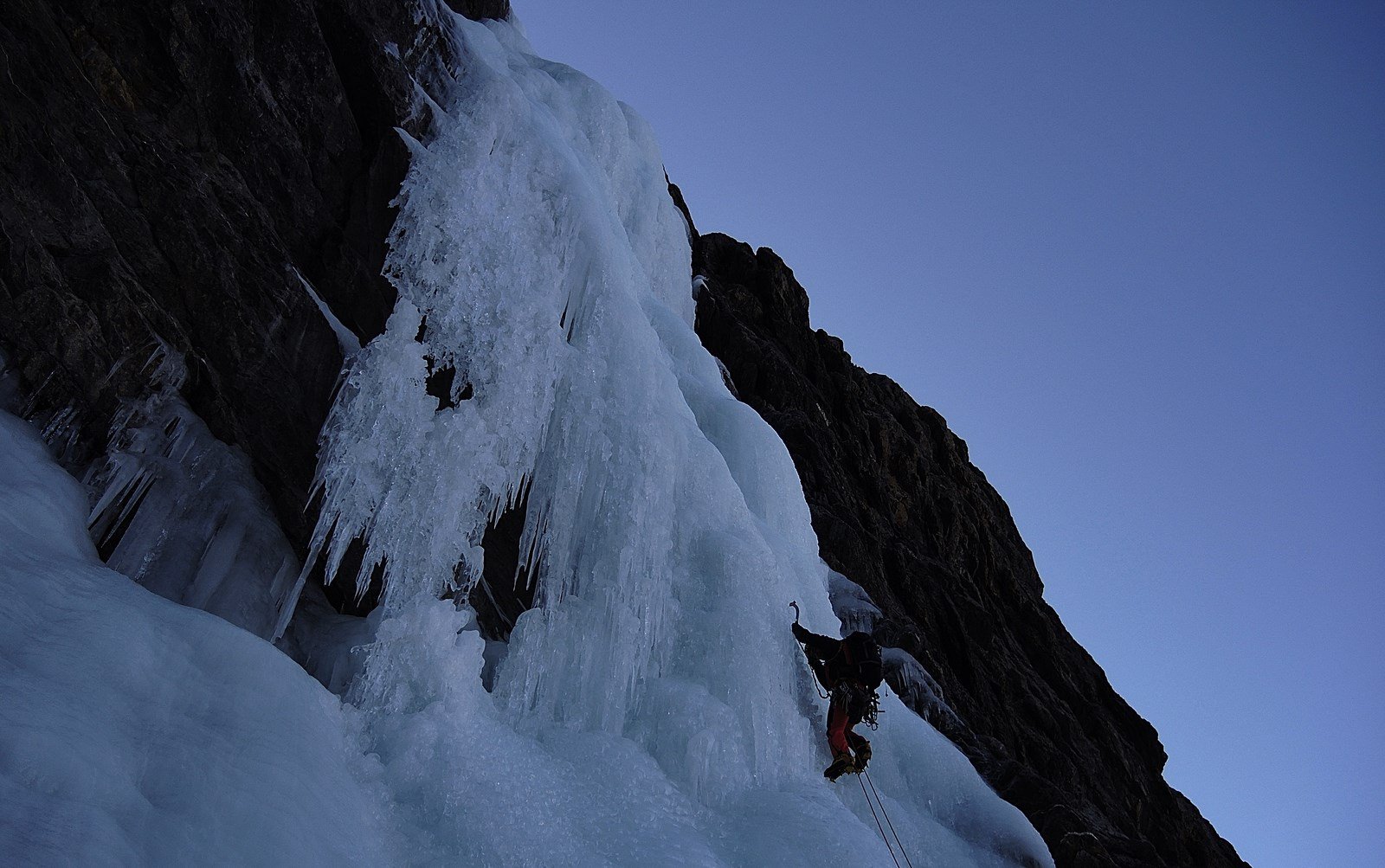
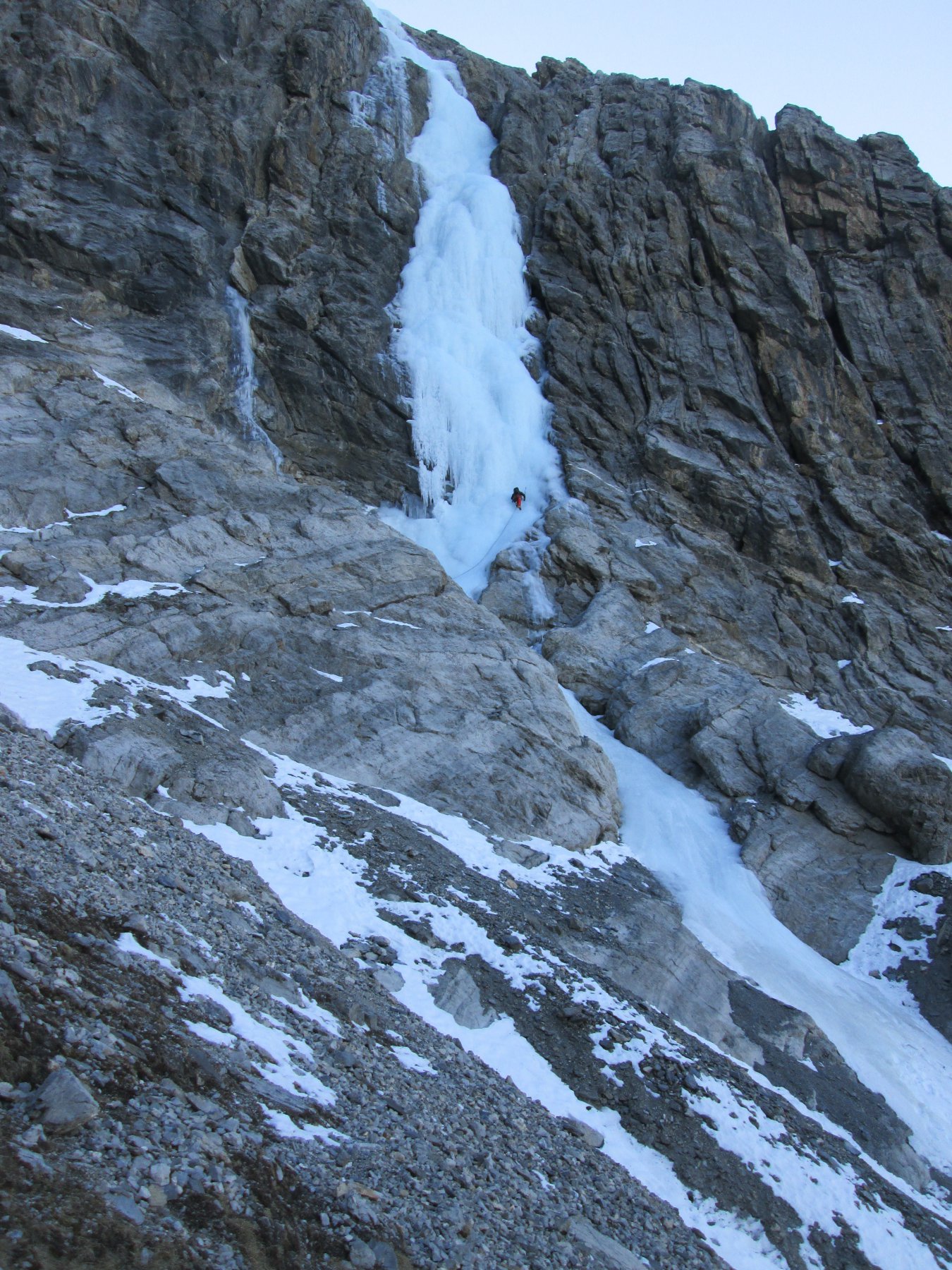
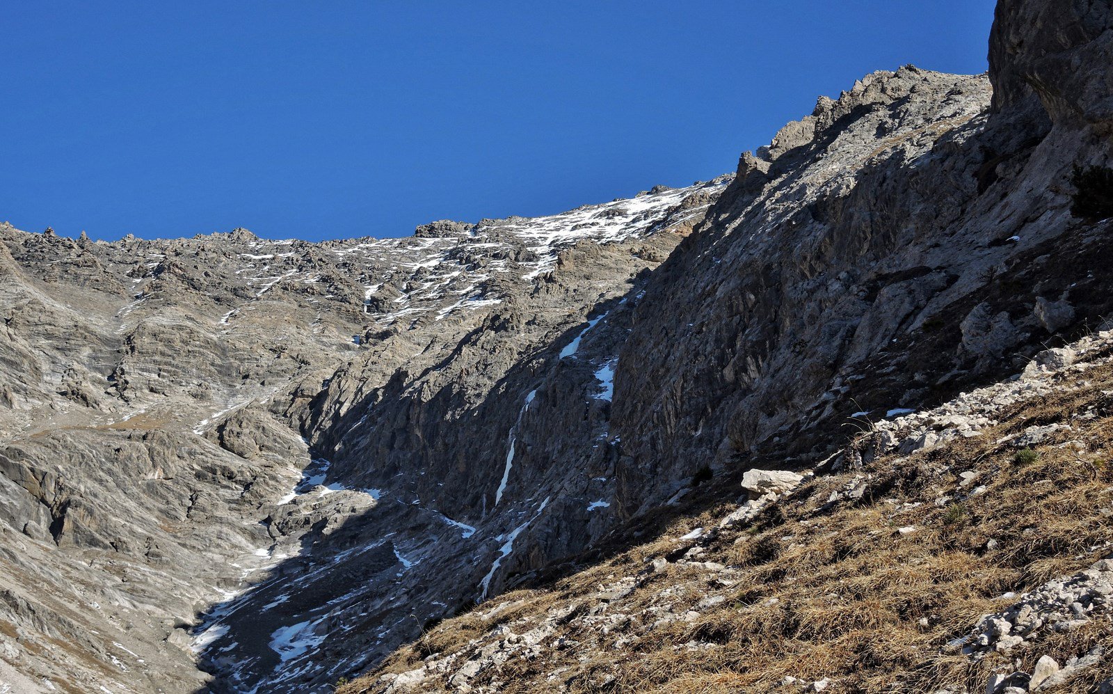
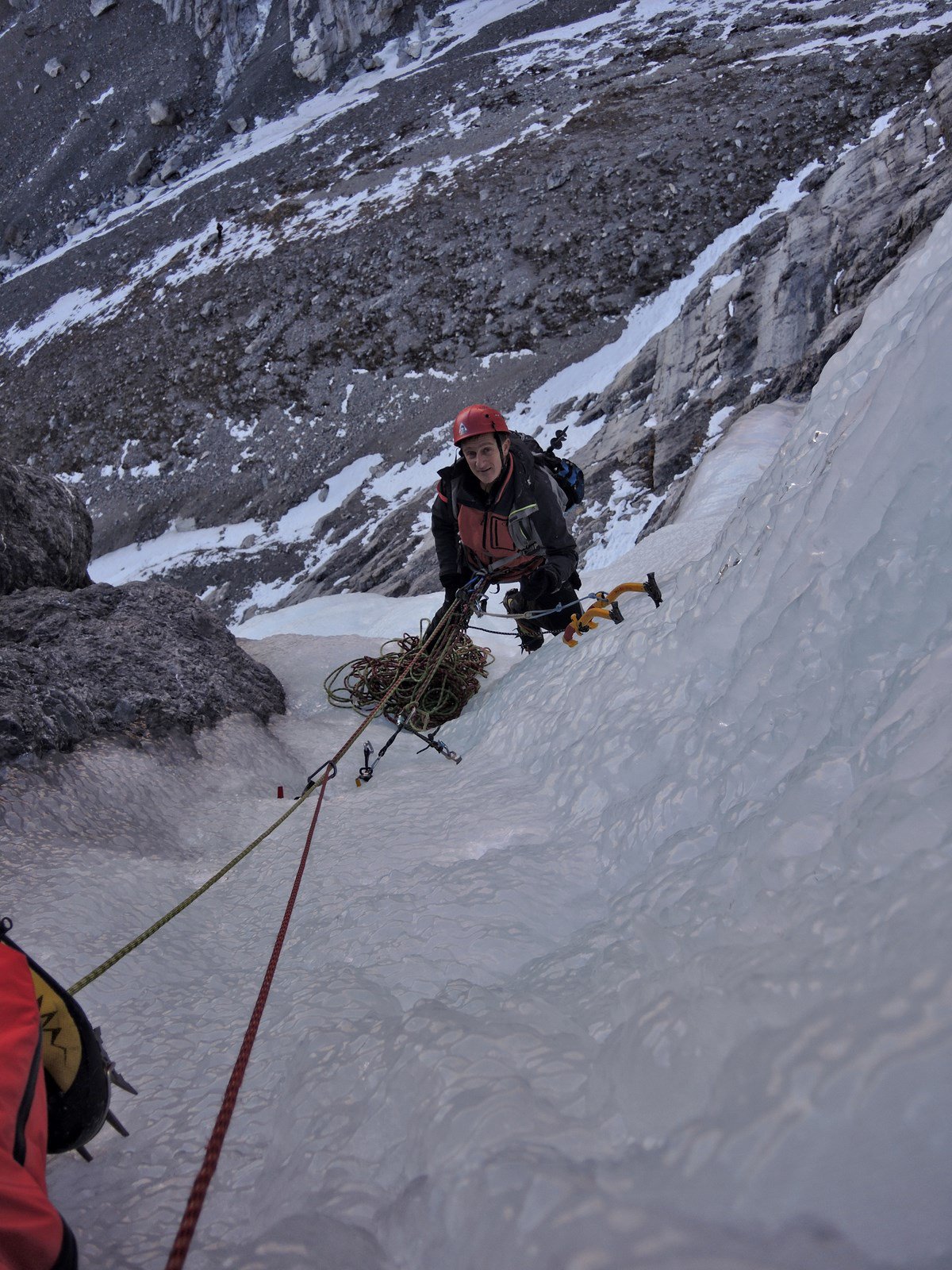
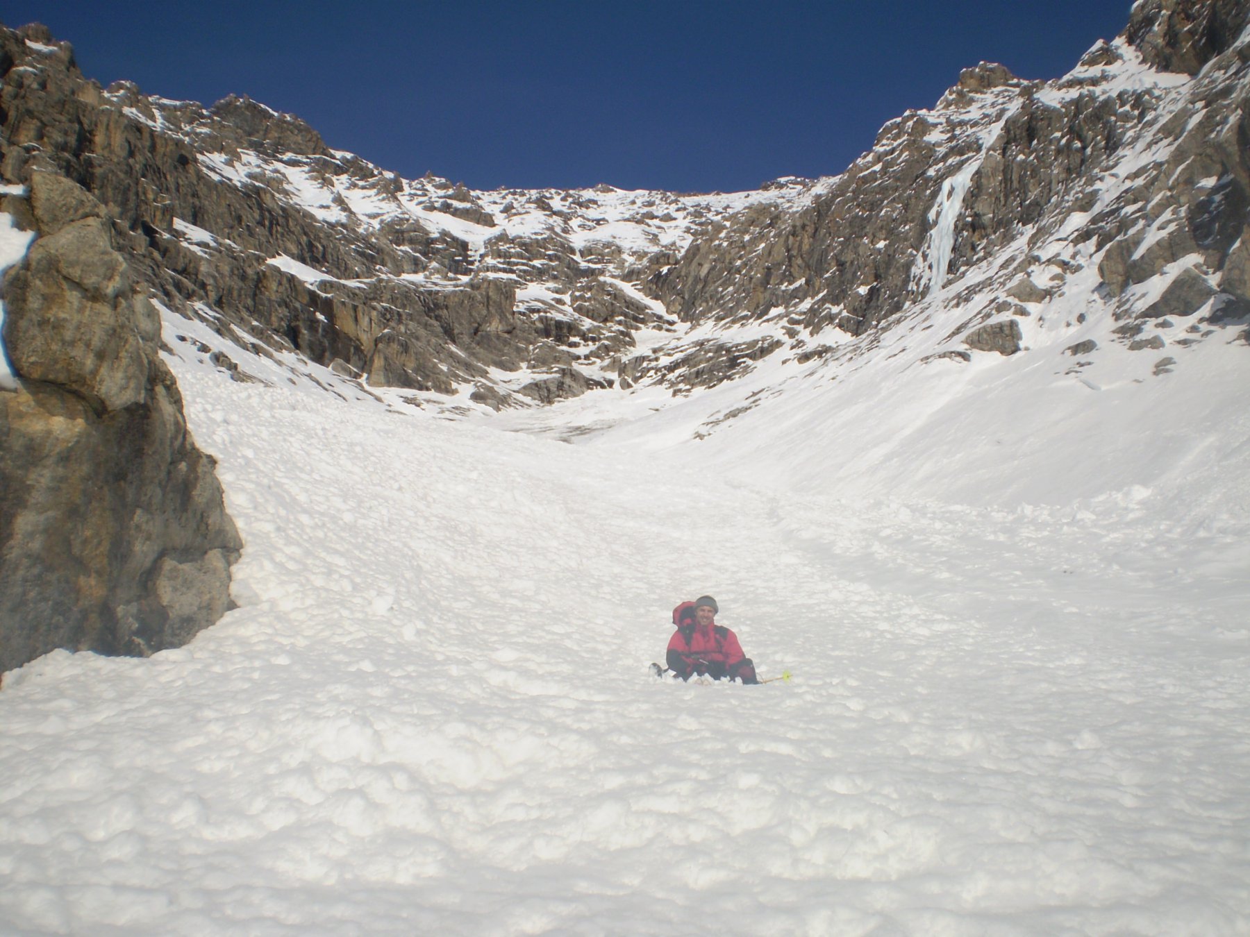
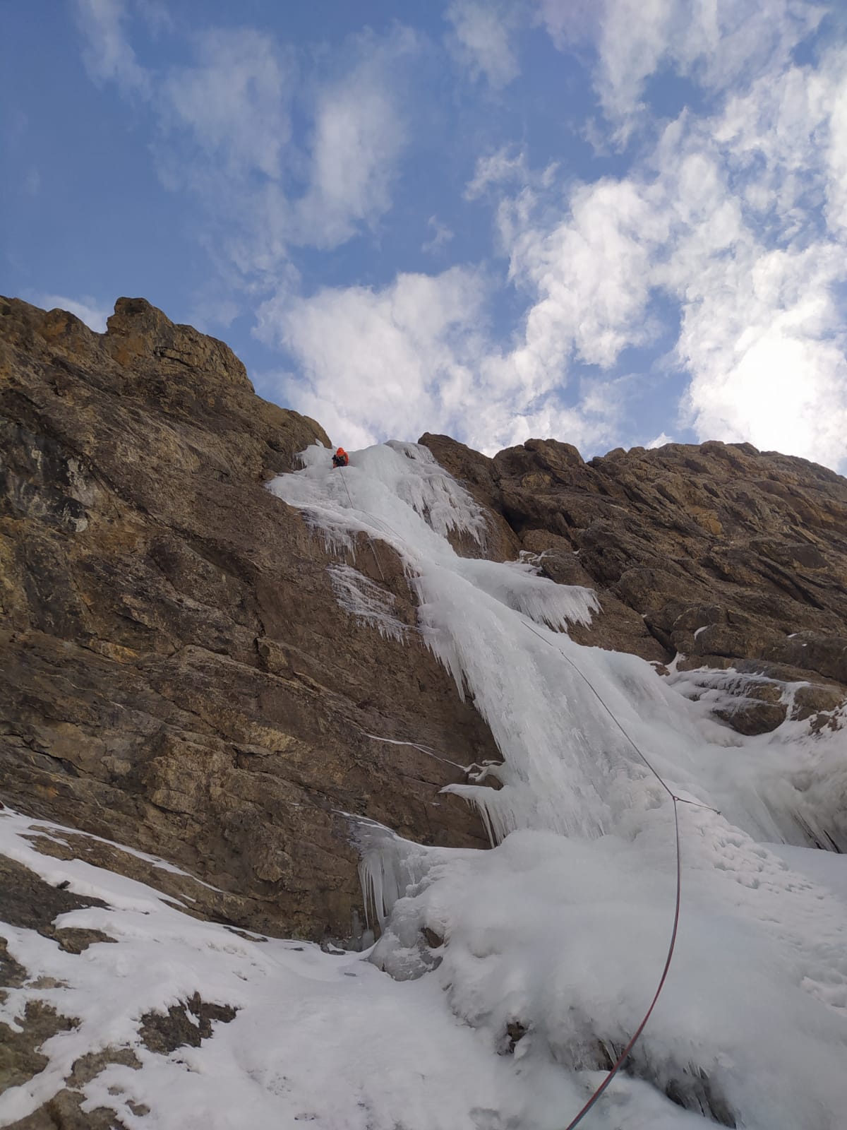
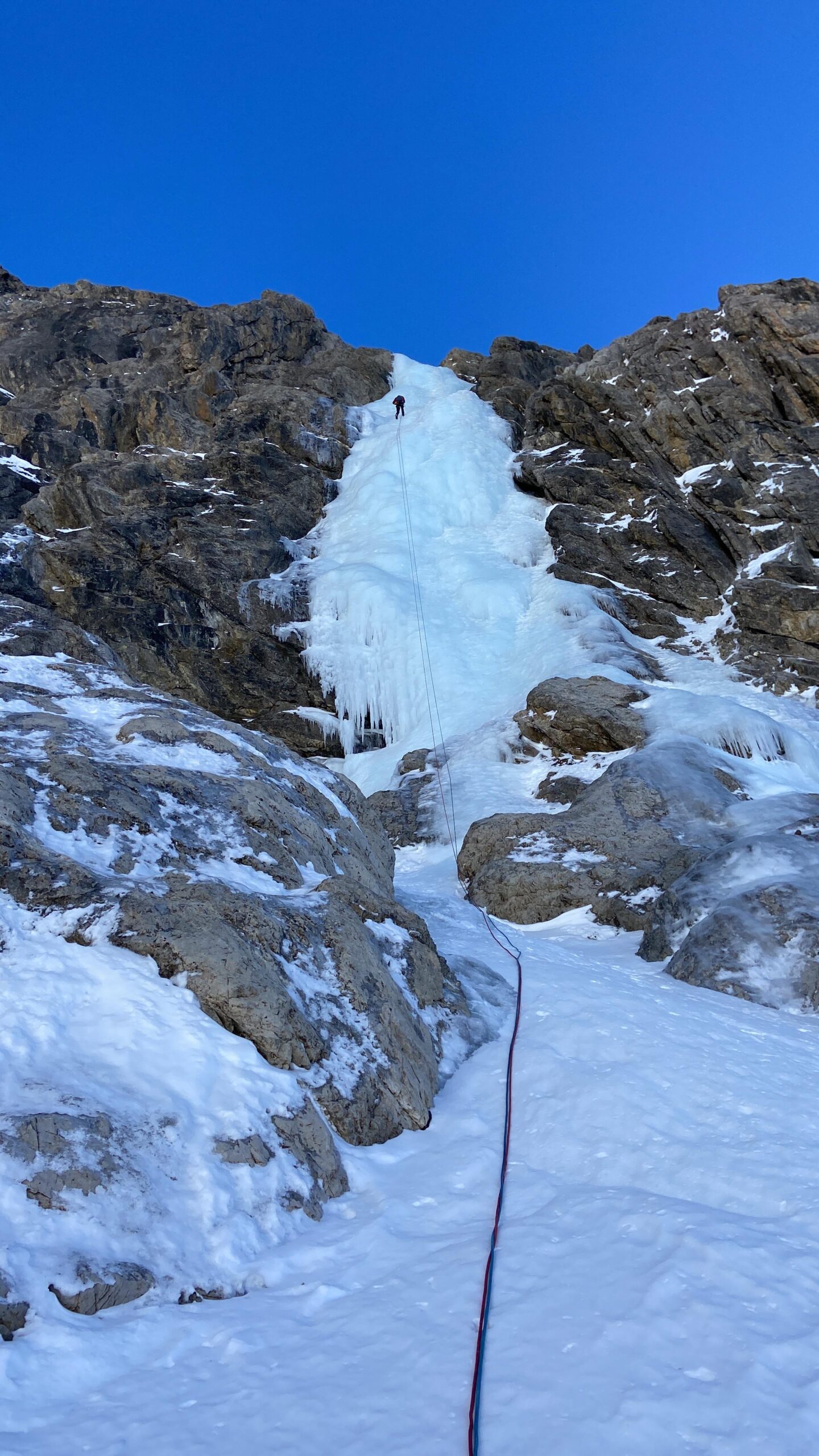
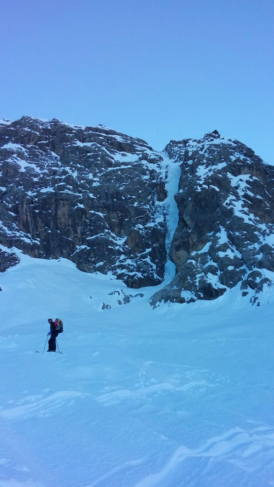
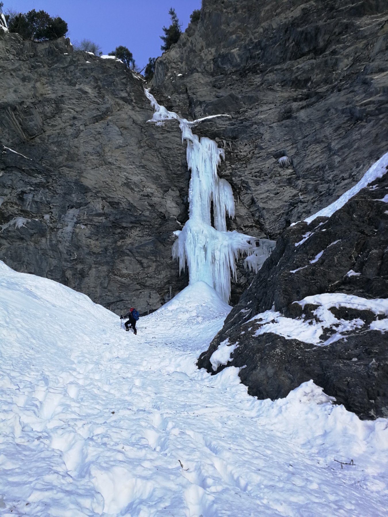
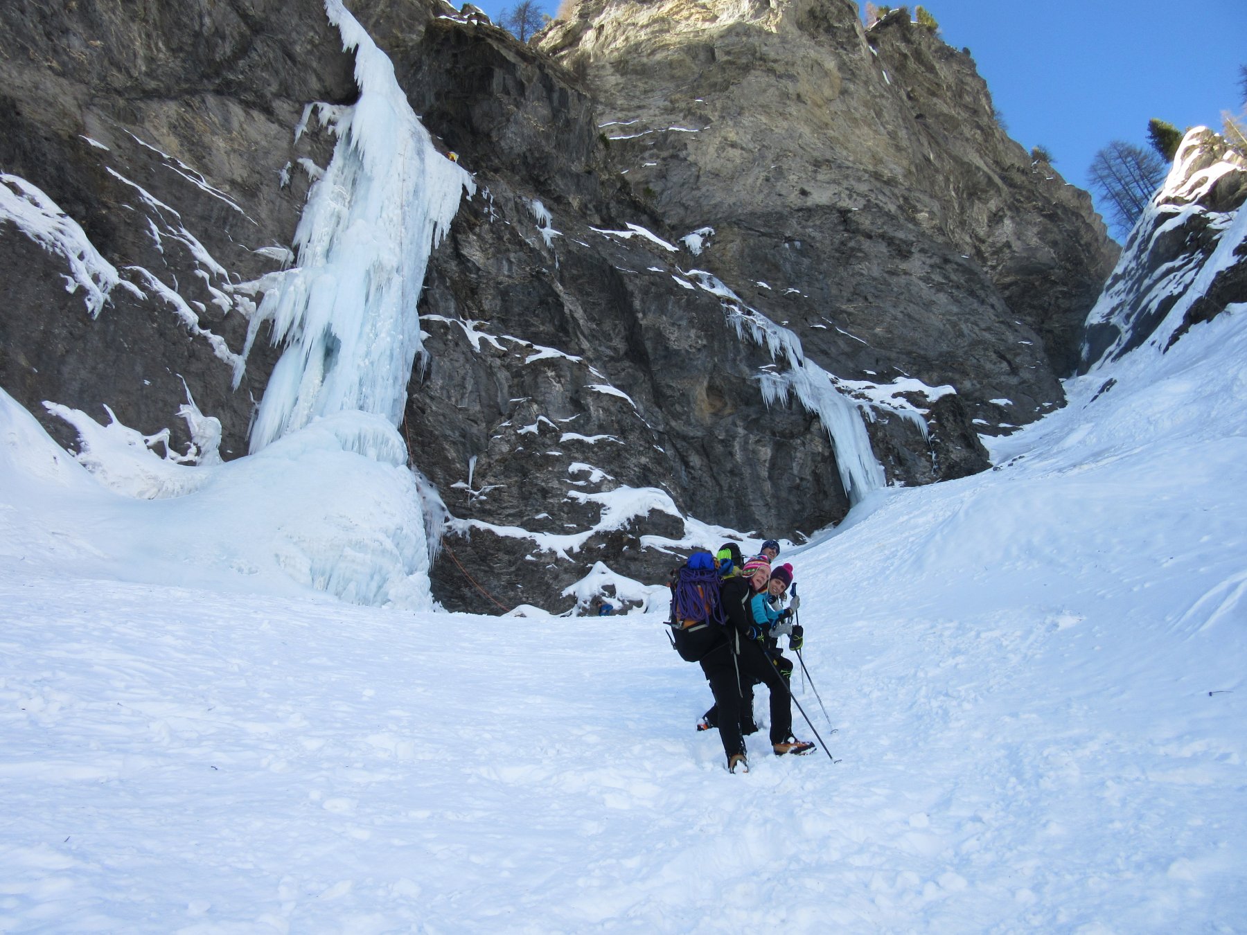
Tra le più belle e imponenti cascate della Val Susa; conta poche ripetizioni per via del luogo impervio e fortemente esposto al pericolo di valanghe. Valloncello privo di sentieri e molto scosceso da affrontare assolutamente in assenza di neve, così come la cascata posta allo sbocco di un lunghissimo e ripido canalone.
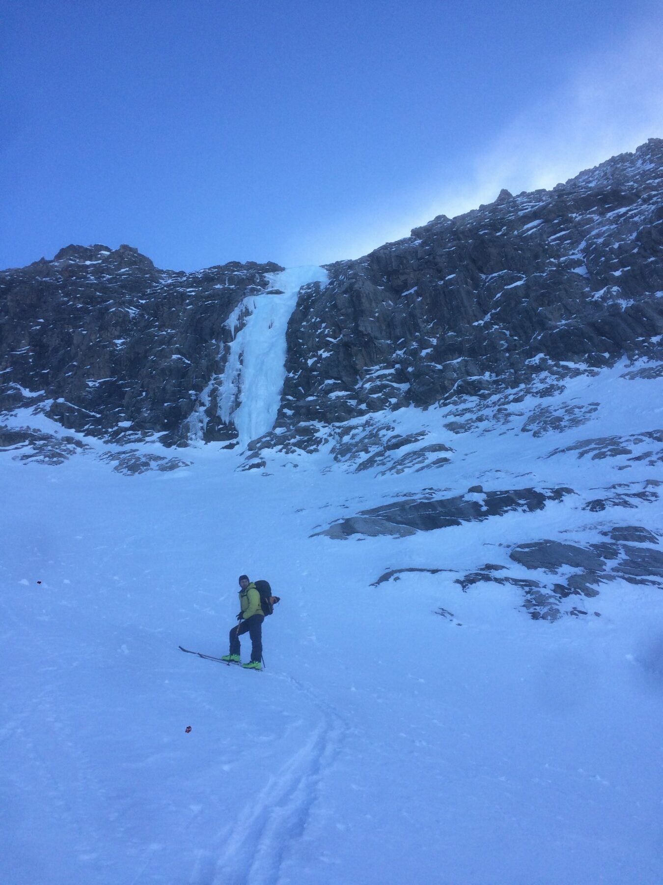
Avvicinamento
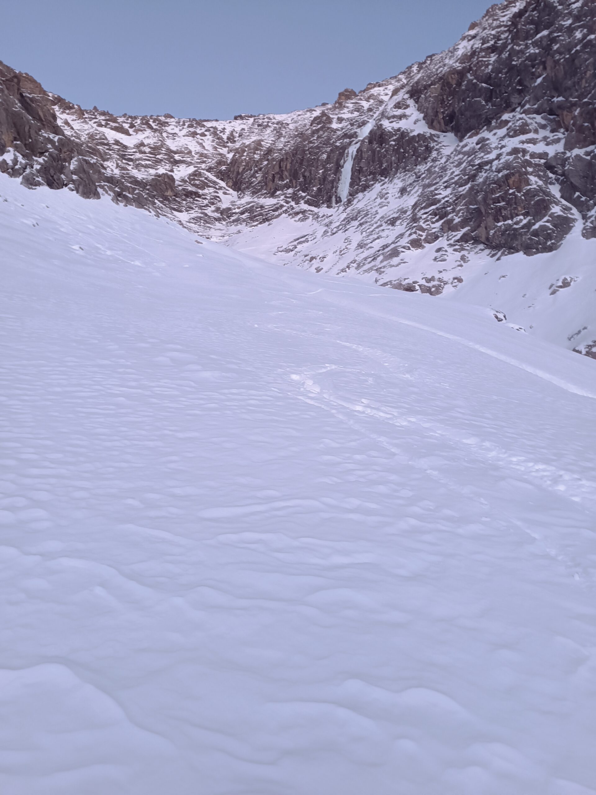
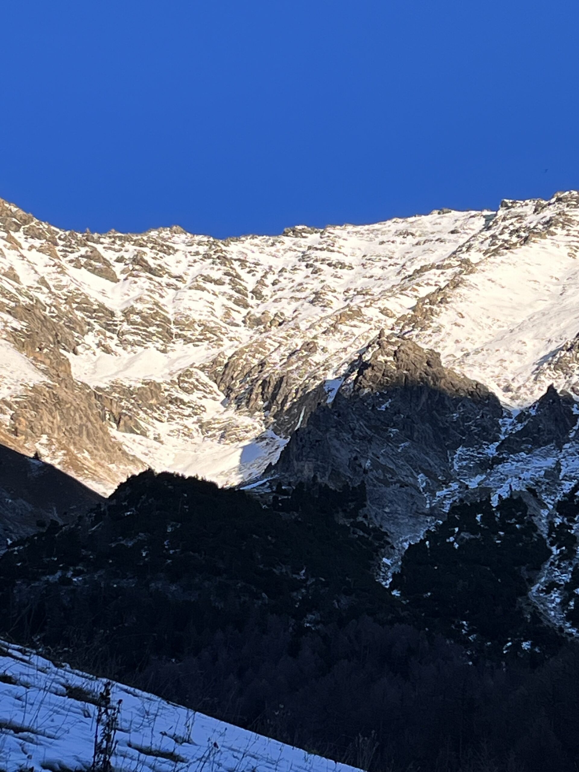
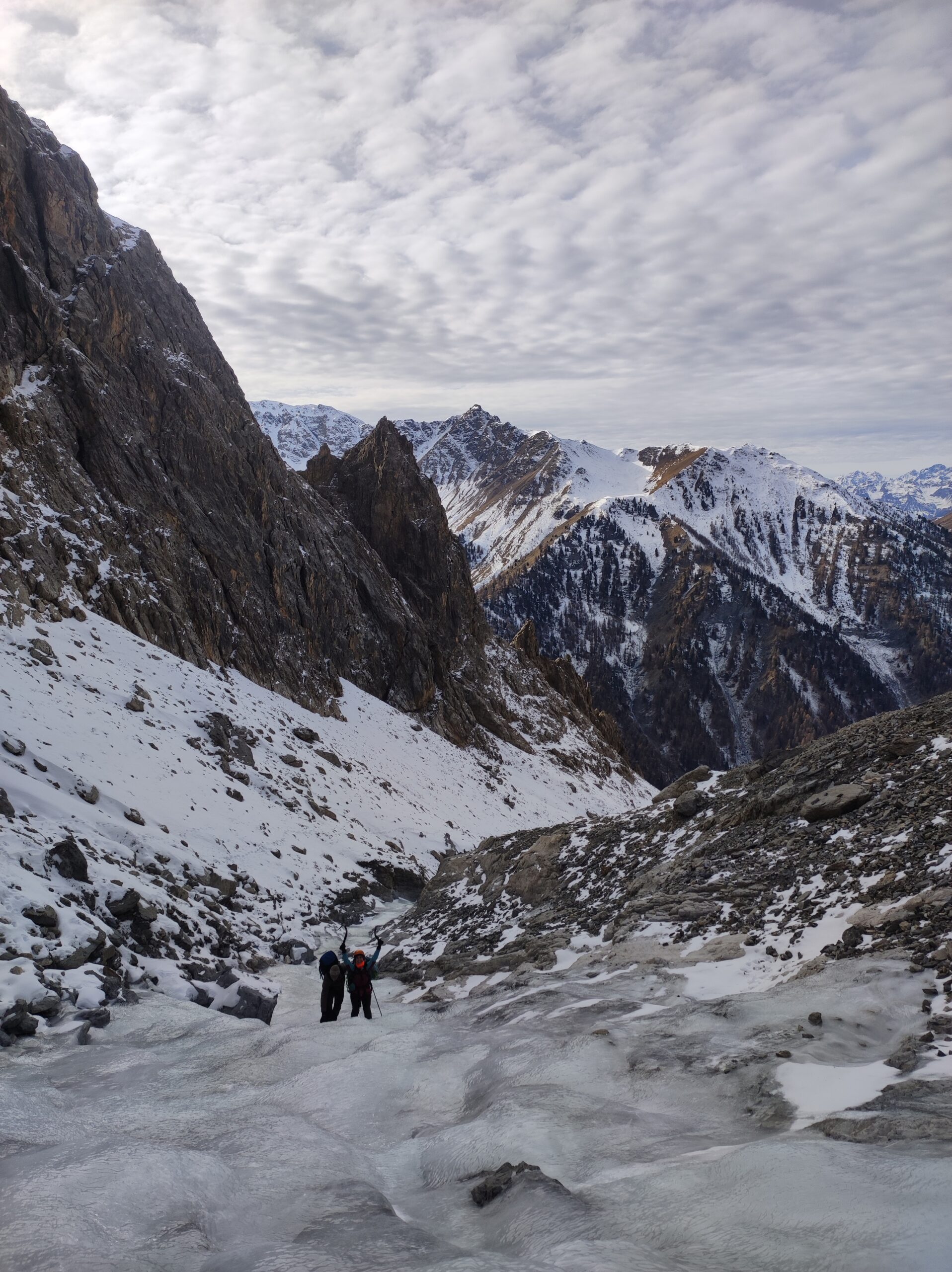
Da Bousson s'imbocca il Vallone di Thuras raggiungendo a seconda dell'innevamento l'abitato di Rhuilles, poi sempre lungo la carrozzabile i ruderi di Thuras. Si volge allora ad est per vasti pendii via via più ripidi e scoscesi imboccando un ripido canalone fra fitti pini mughi, ove questo s'impenna fortemente si volge ancora a sx. salendo sino a raggiungere un caratteristico colletto che immette nel valloncello sospeso dove si può percorrere il ripido versante sx. orografico dello stesso oppure (ramponi ai piedi) l'alveo ghiacciato dello stesso (delicato e insidioso) sino in vista dell'imponente e bellissima colata ghiacciata (3 h da Rhuilles)
Descrizione
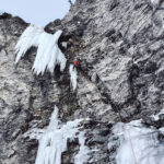
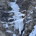
- Attaccare la cascata a sx (90°) o in un avvallamento al centro (85°). Salire verso sx fino alla fine del primo salto (70°-80°-85°), 45m.
- Salire una specie di goulotte sul lato dx del flusso principale (60°-70°), quindi vincere alcune gobbe e portarsi sul bordo roccioso a sx, 40m.
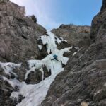
- Superare il salto nel centro (70°, tratti ad 80°) e dopo 50m uscire nel canalone che origina il cascatone.
Discesa su abalakov oppure si individua a dx oltre uno speroncino un ripido e delicato canalino in neve e/o roccia conduce diagonalmente e in modo disagevole ai piedi della cascata.
- Cartografia:
- Alta Val Susa- Alta Val Chisone 1:25.000
- Bibliografia:
- Ghiaccio dell'Ovest GC Grassi
Nelle vicinanze Mappa
Itinerari
10/12/2016 TO, Cesana Torinese 130 m IV, 4 Nord-Ovest
Val Thuras – Boucher (Roc del, Gully)
 2.3Km
2.3Km
30/12/2021 TO, Cesana Torinese 45 m I, 3 Nord
Val Thuras – Tajabosc (Cascata)
 2.9Km
2.9Km
25/01/2020 TO, Sauze di Cesana 180 m III, 4, M3 Nord
Valle Argentera – Effimera Fantasia (Cascata)
 3.3Km
3.3Km
14/02/2026 TO, Sauze di Cesana 130 m III, 5+ Nord
Valle Argentera – L’Altro Volto del Pianeta (Cascata)
 3.3Km
3.3Km
26/01/2020 TO, Sauze di Cesana 60 m III, 6 Nord
Valle Argentera – Ice Very Nice (Cascata)
 3.4Km
3.4Km
31/01/2020 TO, Sauze di Cesana 100 m III, 3+ Nord-Est
Valle Argentera – Cascata di destra
 3.6Km
3.6Km
11/02/2023 TO, Sauze di Cesana 60 m III, 5, M7 Nord
Valle Argentera – L’Altro Volto della Luna (Cascata)
 3.6Km
3.6Km
04/01/2024 TO, Sauze di Cesana 190 m III, 4, M4 Nord
Valle Argentera – Peace for Gaza (Cascata)
 3.6Km
3.6Km
26/11/2006 TO, Sauze di Cesana 40 m III, 4 Nord-Est
Valle Argentera – Il Ghiaccio c’è anche dove non c’è! (Cascata)
3.8Km
30/01/2024 TO, Sauze di Cesana 180 m IV, 6 Nord
Valle Argentera – Amicizia (Cascata dell’)
 3.8Km
3.8Km