2.4Km
2.4Km
Note
Storico
 50m
50m
2.3Km
3.1Km
3.1Km
3.1Km
3.1Km
3.1Km
3.1Km
3.1Km
50m
50m
2.3Km
3.1Km
3.1Km
3.1Km
3.1Km
3.1Km
3.1Km
3.1Km
2.4Km
2.5Km
3.1Km
5.1Km
5.2Km
5.4Km
5.4Km
5.5Km
5.5Km
6.1Km
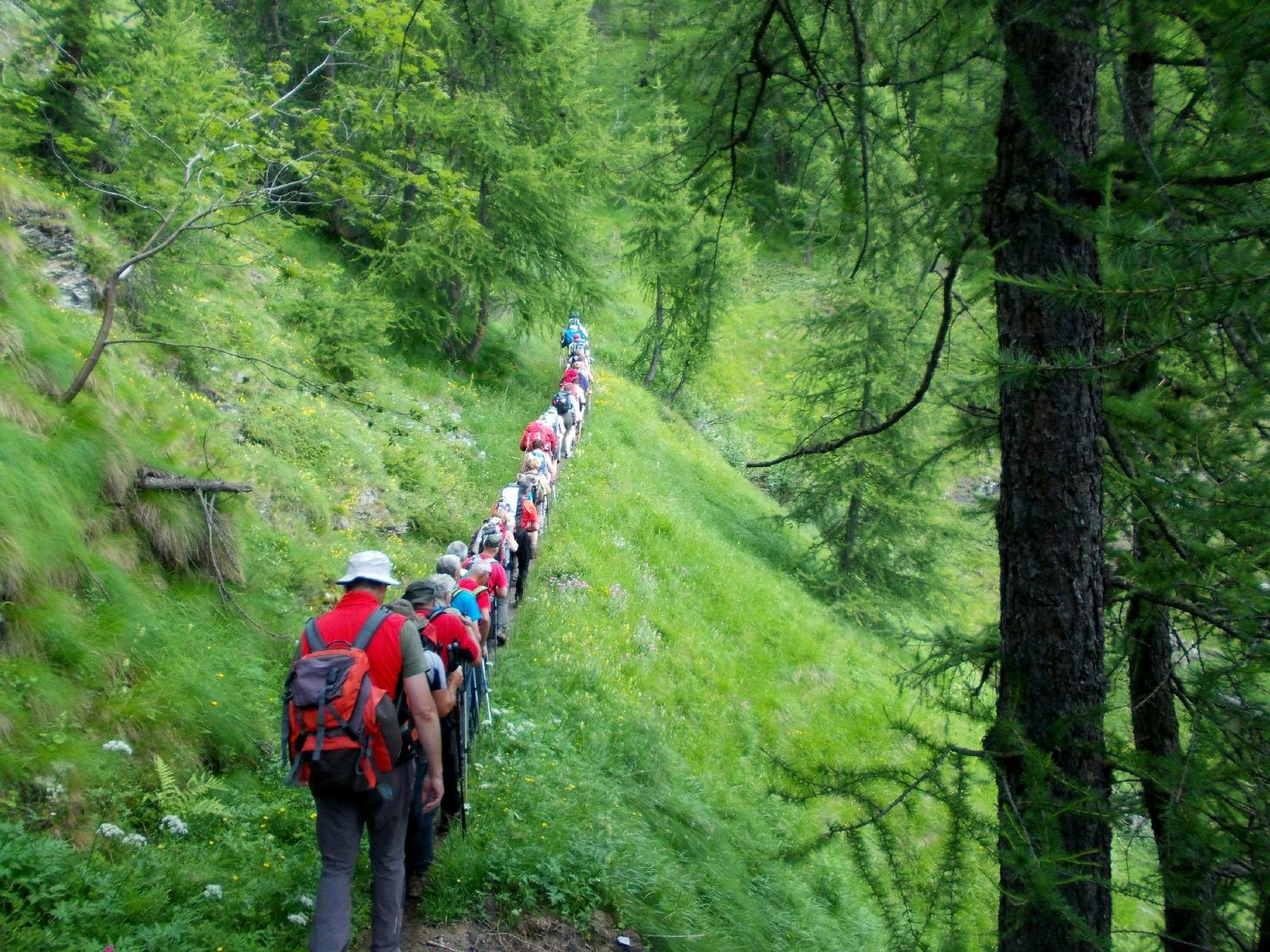
Percorso su sentiero marcato e ben segnalato,ideale per inizio stagione o Autunno.Sconsigliato con neve per i pendii ripidi che attraversa.Escursione particolarmente indicata per gite organizzate che prevedano l'utilizzo di pulman
Avvicinamento
Dronero-San Damiano Macra-Prazzo Inf.-San Michele di Prazzo
Descrizione
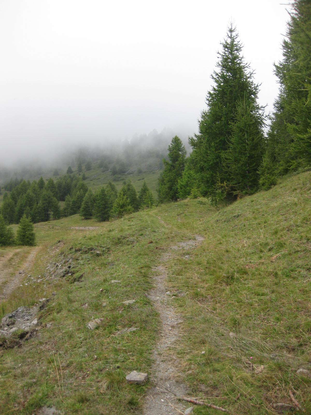
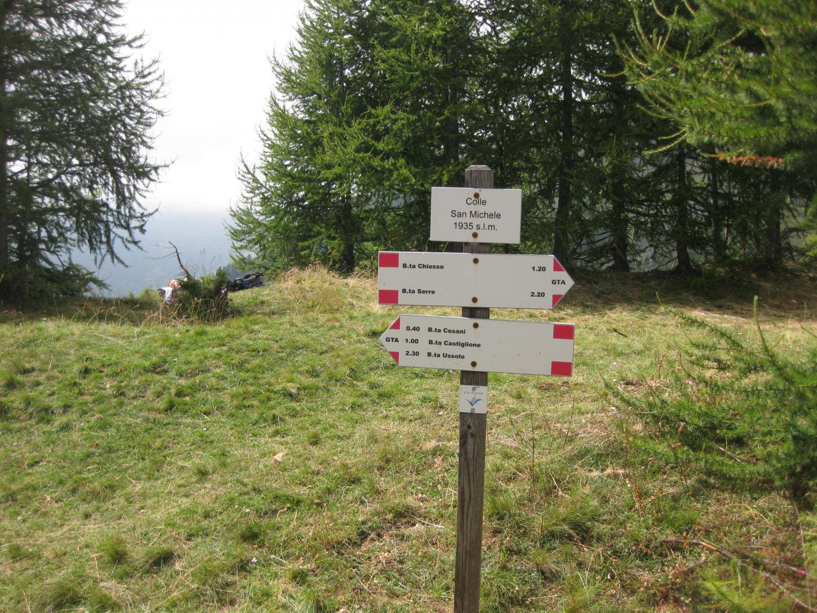
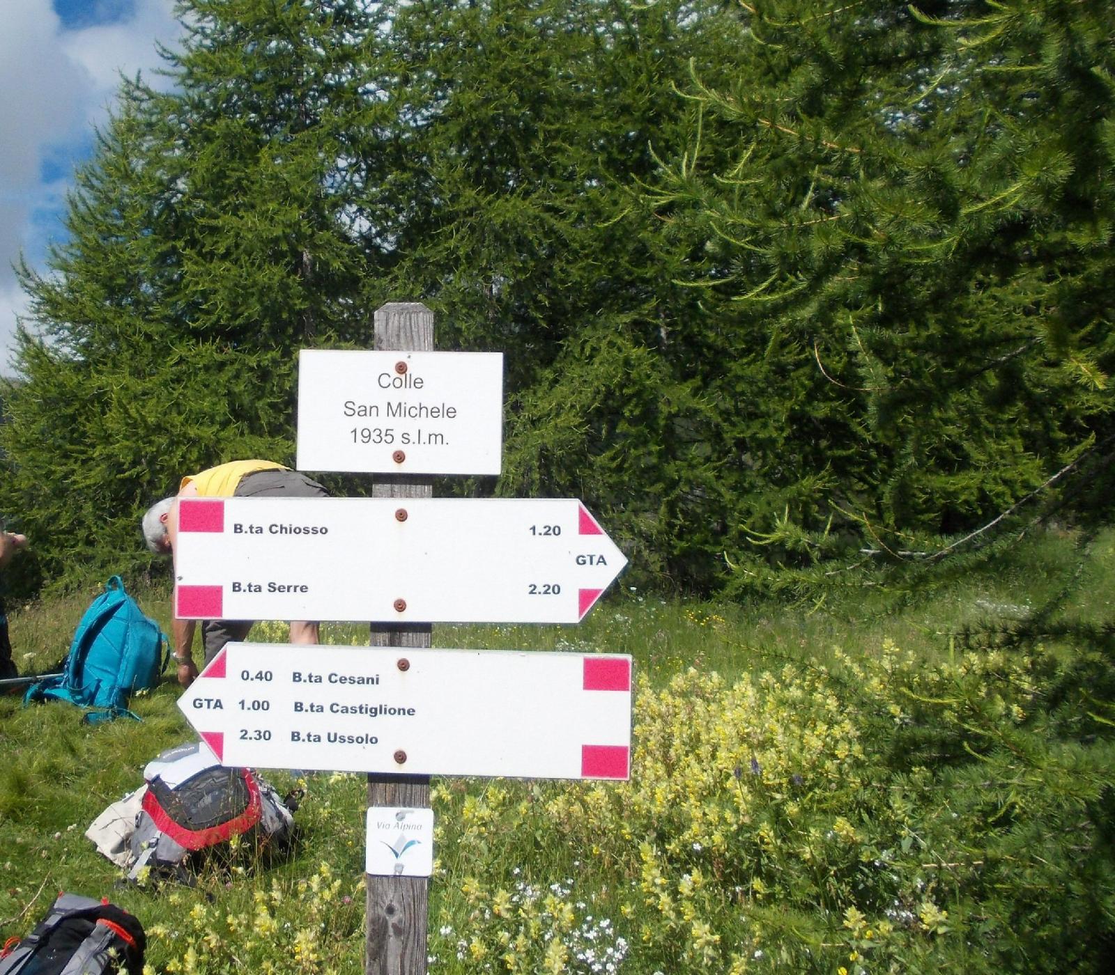
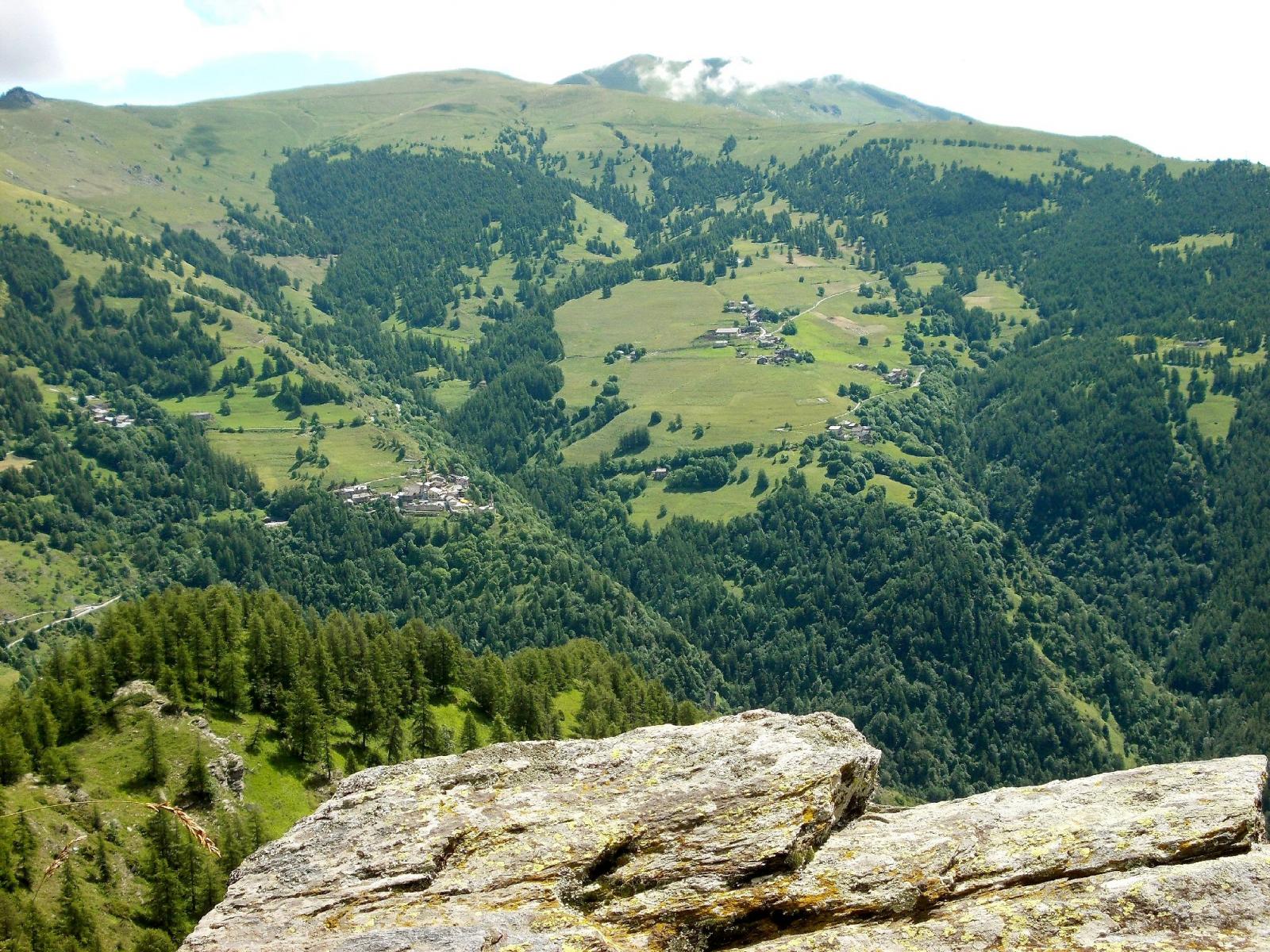
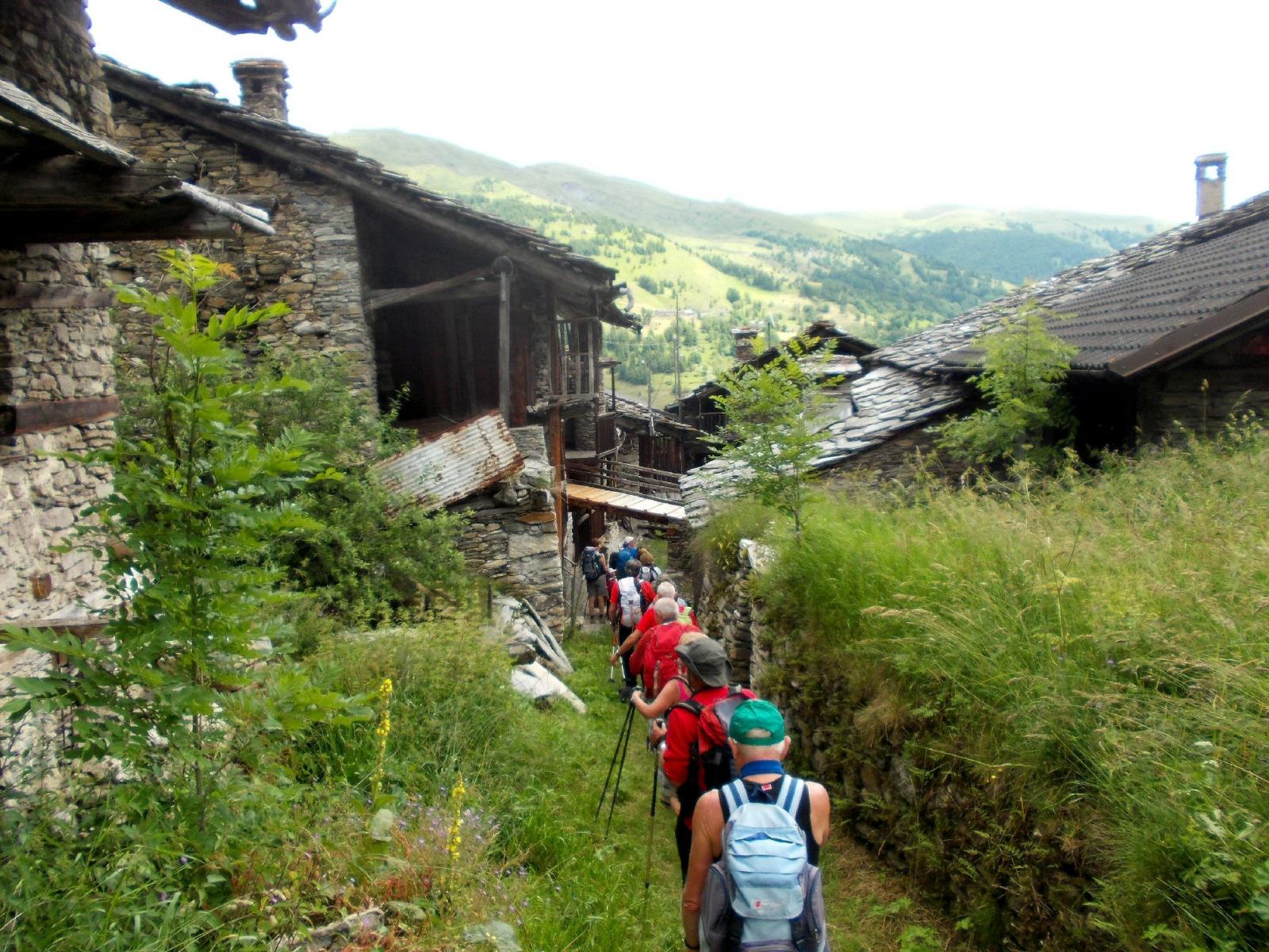
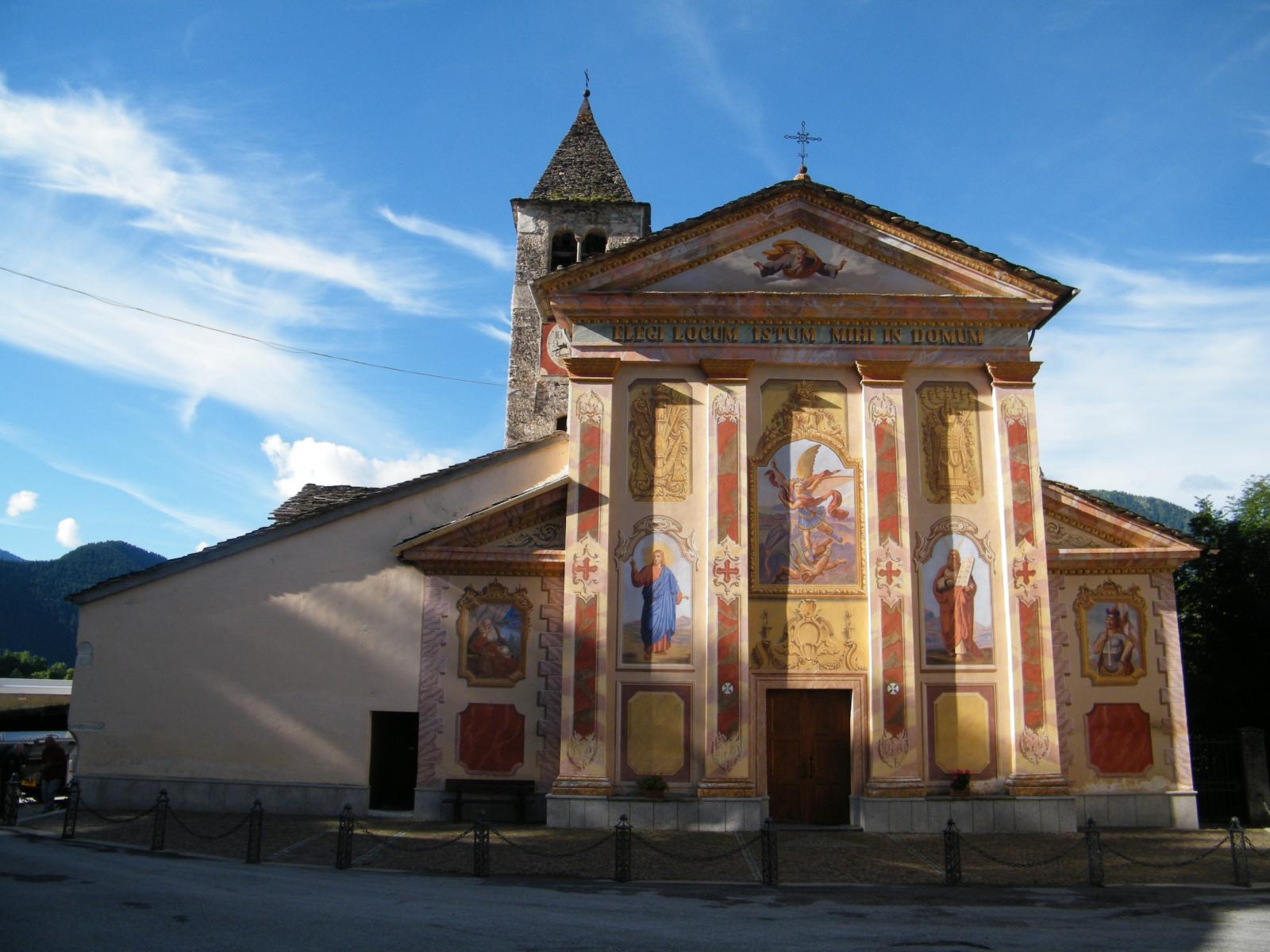
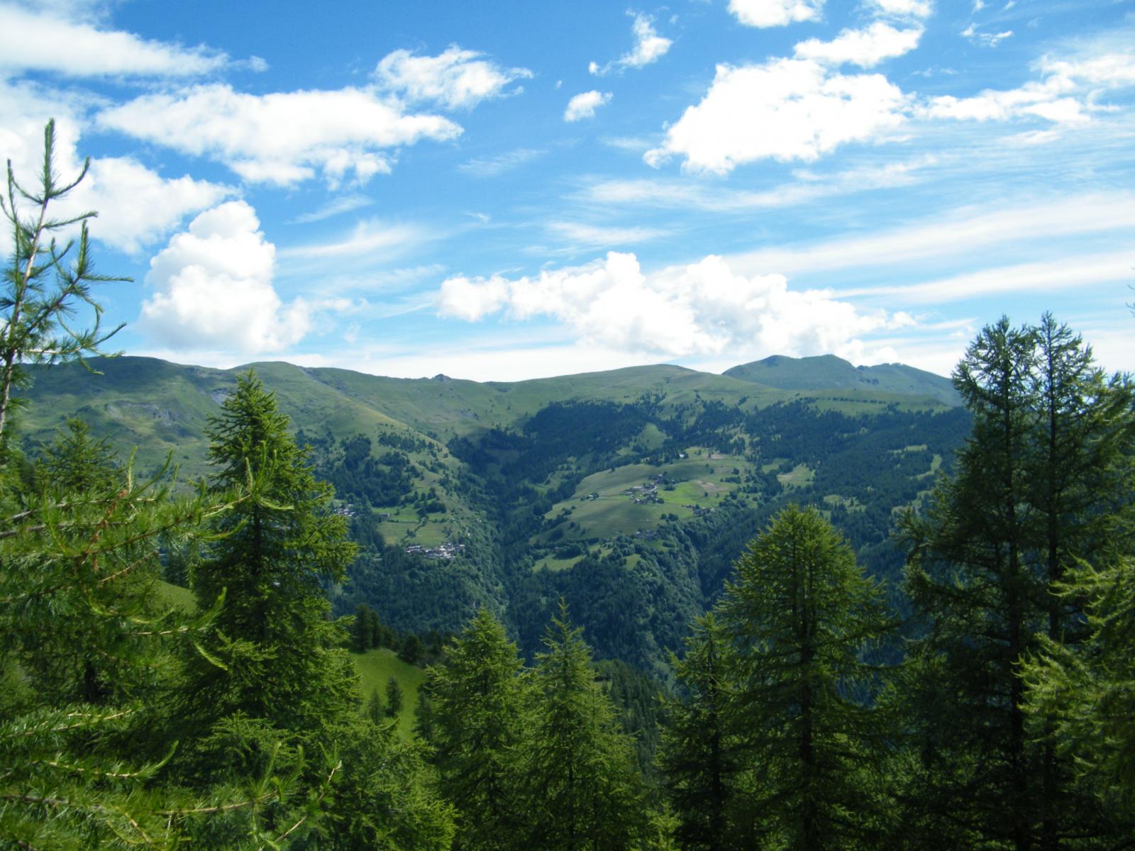
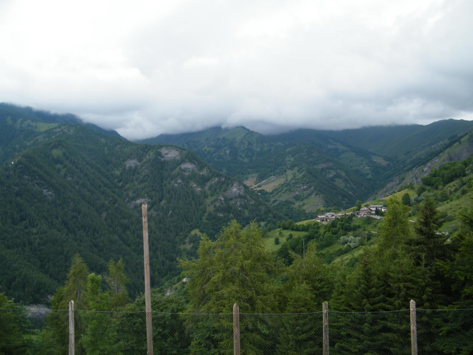
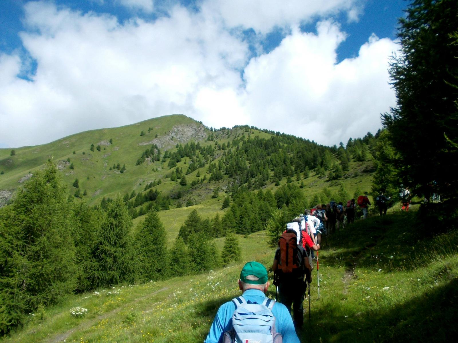
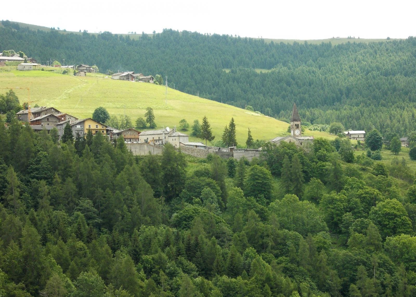
Dal piazzale davanti alla chiesa parrochiale si sale su strada asfaltata fino alla borgata Allemandi(m1545)nei pressi di un Agriturismo si imbocca il sentiero(vistoso cartello indicatore) che con un lungo traverso in diagonale porta al Colle San Michele(m 1932)Con alcuni sali scendi il sentiero entra nel Vallone di Elva,traversando pendii piu’ o meno ripidi e raggiunge il punto piu’ elevato(Rocca Orsiere m1996)Da qui in discesa si giunge alla borgata Chiosso Superiore(m1663)da qui in poco piu’ di 30 min. si raggiunge il capoluogo Serre su strada asfaltata.
da visitare la Chiesa Parrocchiale di S.Maria Assunta a Elva,con i bellissimi dipinti di Hans Clemer,e ilMuseo dei Pels(museo dei capelli)
- Cartografia:
- Fraternali n.11-Alta Val Varaita Alta Val Maira
Nelle vicinanze Mappa
Itinerari
11/06/2024 CN, Prazzo D+ 954 m E Sud-Est
Ciarmetta (Punta) da San Michele di Prazzo
 50m
50m
23/07/2020 CN, Prazzo D+ 260 m T Varie
Sentiero Remo Einaudi da San Michele di Prazzo
 50m
50m
25/04/2025 CN, Prazzo D+ 800 m E Varie
Albeno (Punta) da Prazzo, anello per Castiglione e Ussolo
 2.3Km
2.3Km
03/03/2022 CN, Prazzo D+ 1100 m E Varie
Ruissas (Monte) da Campiglione per le Porte di Roma
 3.1Km
3.1Km
28/06/2026 CN, Prazzo D+ 2400 m EE/F Tutte
Chersogno (Monte), Rocca la Marchisa, Pelvo d’Elva da Campiglione, anello
 3.1Km
3.1Km
20/06/2020 CN, Prazzo D+ 1270 m EE Sud-Ovest
Camoscere (Monte) da Campiglione
 3.1Km
3.1Km
06/06/2026 CN, Prazzo D+ 1322 m EE Varie
Chersogno (Monte) da Campiglione per il Colle di Chiosso
 3.1Km
3.1Km
28/08/2015 CN, Prazzo D+ 947 m E Sud
Camoscere (Lago delle) e Bivacco Bonfante da Campiglione
 3.1Km
3.1Km
05/09/2018 CN, Prazzo D+ 2180 m E Tutte
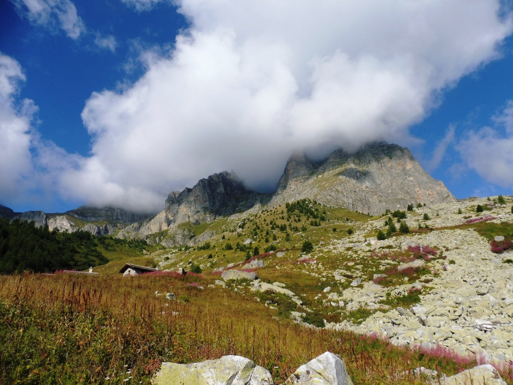
Chersogno (Monte) da Campiglione, anello per il sentiero Massimo Prando
 3.1Km
3.1Km
05/07/2014 CN, Prazzo D+ 962 m EE Sud
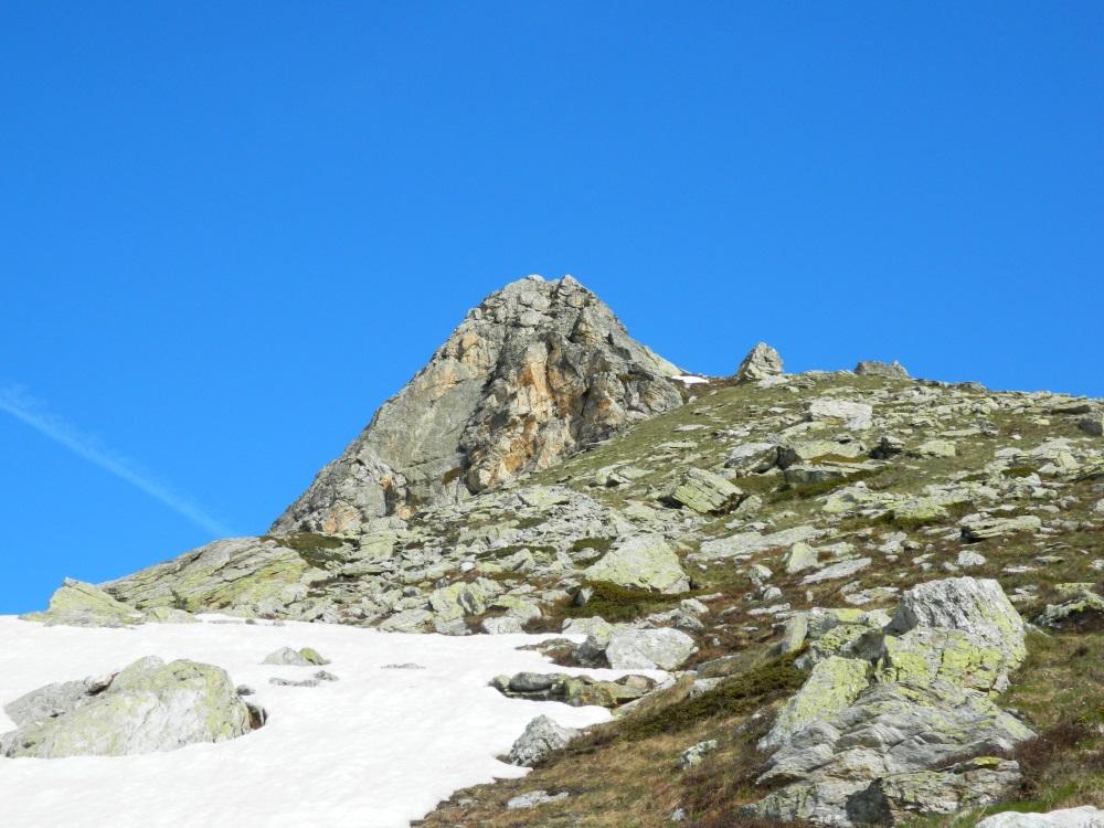
Gardetta (Punta della) da Campiglione per il Colle di Chiosso
 3.1Km
3.1Km
Servizi
2.4Km
2.5Km
Furnel e pirol Ristorante
Prazzo Superiore
3.1Km
Gentil Locanda Ristorante
Marmora
5.1Km
La sousto du col Rifugio
Elva
5.2Km
San Pancrazio – Hans Clemer Albergo
Elva
5.4Km
Lou Pitavin Ristorante
Marmora
5.4Km
Croce bianca Ristorante
Marmora
5.5Km
Posto tappa gta Ceaglio Rifugio
Marmora
5.5Km
Ceaglio Rifugio
Marmora
6.1Km