4.1Km
4.1Km
Note
 0m
0m
50m
50m
50m
50m
50m
50m
3.1Km
3.1Km
0m
0m
50m
50m
50m
50m
50m
50m
3.1Km
3.1Km
4.1Km
4.1Km
5.2Km
6Km
6.2Km
7.3Km
7.5Km
7.9Km
8.1Km
8.1Km
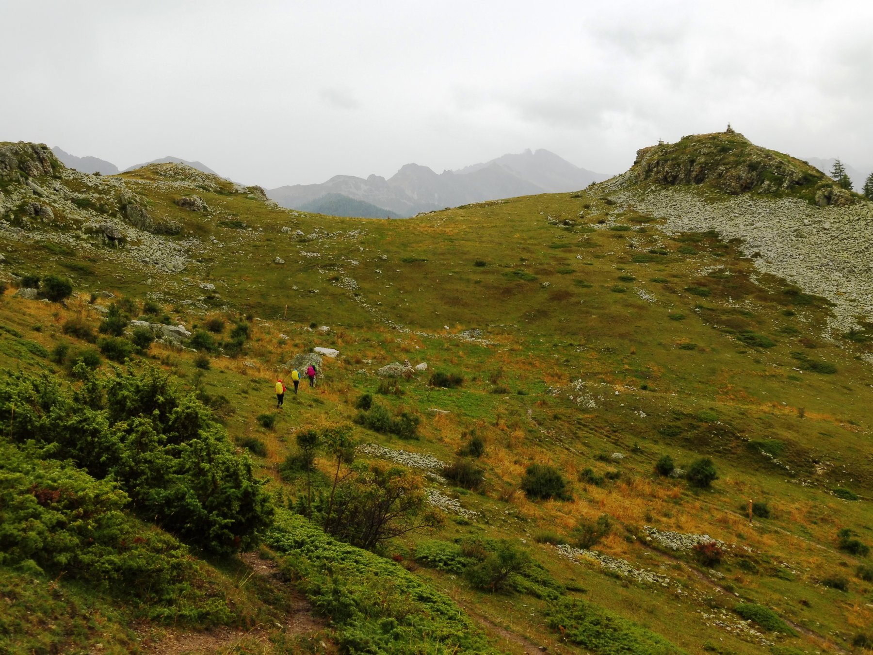
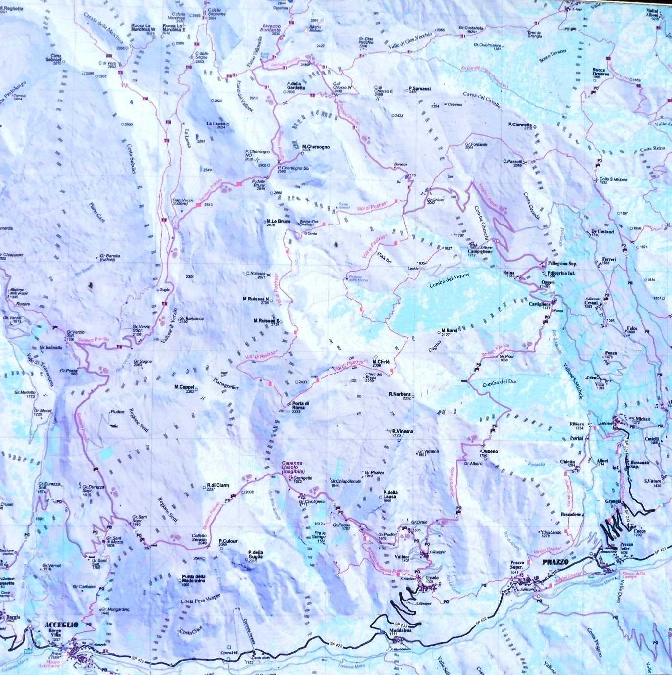
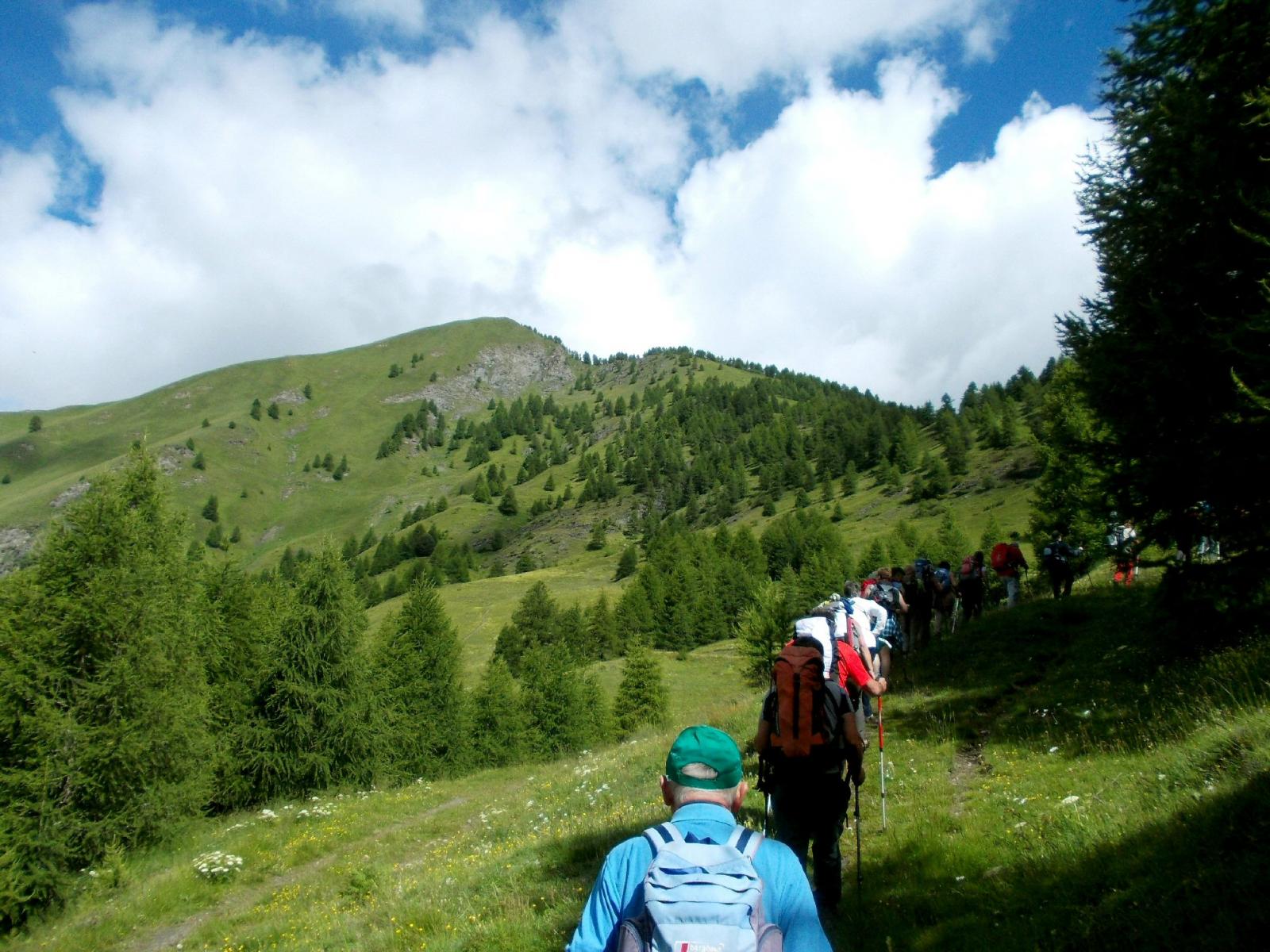
Il tracciato (segnalato da caratteristici segni di impronta di scarpone ed orma di cane) collega, attraverso un percorso ad anello, le alte borgate del Vallone di San Michele di Prazzo con i contrafforti e la vetta del monte Chersogno, per poi svalicare nel territorio di Acceglio attraverso il Vallone di Verzio e le grange Serri; attraverso la Punta Culour si ritorna nel territorio di Prazzo attraverso il vallone di Ussolo, attraversando caratteristiche baite in quota; collegandosi infine con i Percorsi Occitani si rientra nel Vallone di San Michele.
Con oltre 30 km di percorso e 2180 metri di dislivello l'itinerario è percorribile comodamente con due pernottamenti.
Avvicinamento
Con oltre 30 km di percorso e 2180 metri di dislivello l'itinerario è percorribile comodamente con due pernottamenti.
In auto risalire la valle Maira, a Prazzo salire il vallone di san Michele fino alla borgata Campiglione
Descrizione
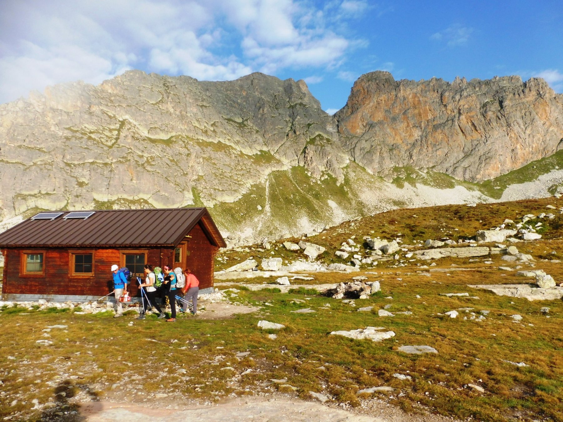
Lasciata l’auto a Campiglione salire alle grange Chiotti e poi per il colle Chiosso raggiungere il bivacco Bonfante dove si pernotta (dal bivacco in circa 1 ora e mezza si puo’ raggiungere la cima del Pelvo d’Elva).
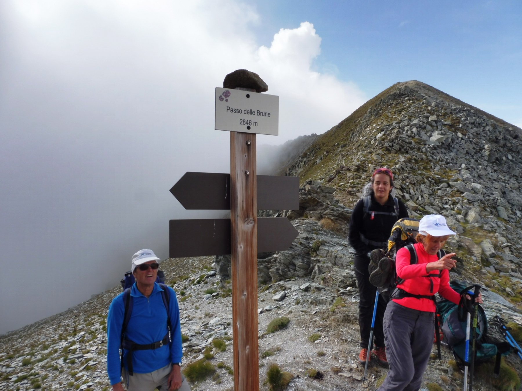
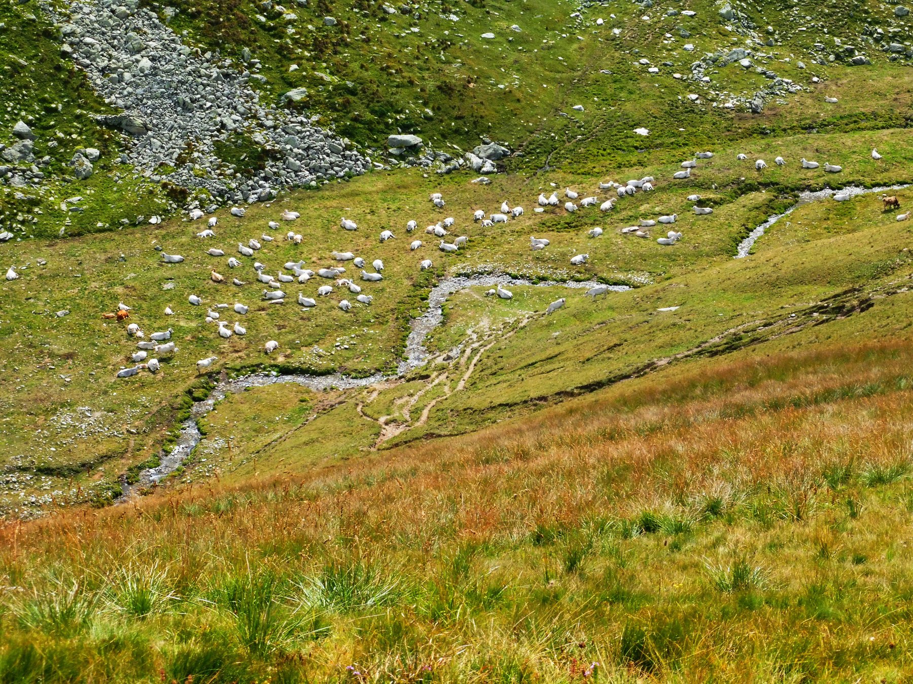
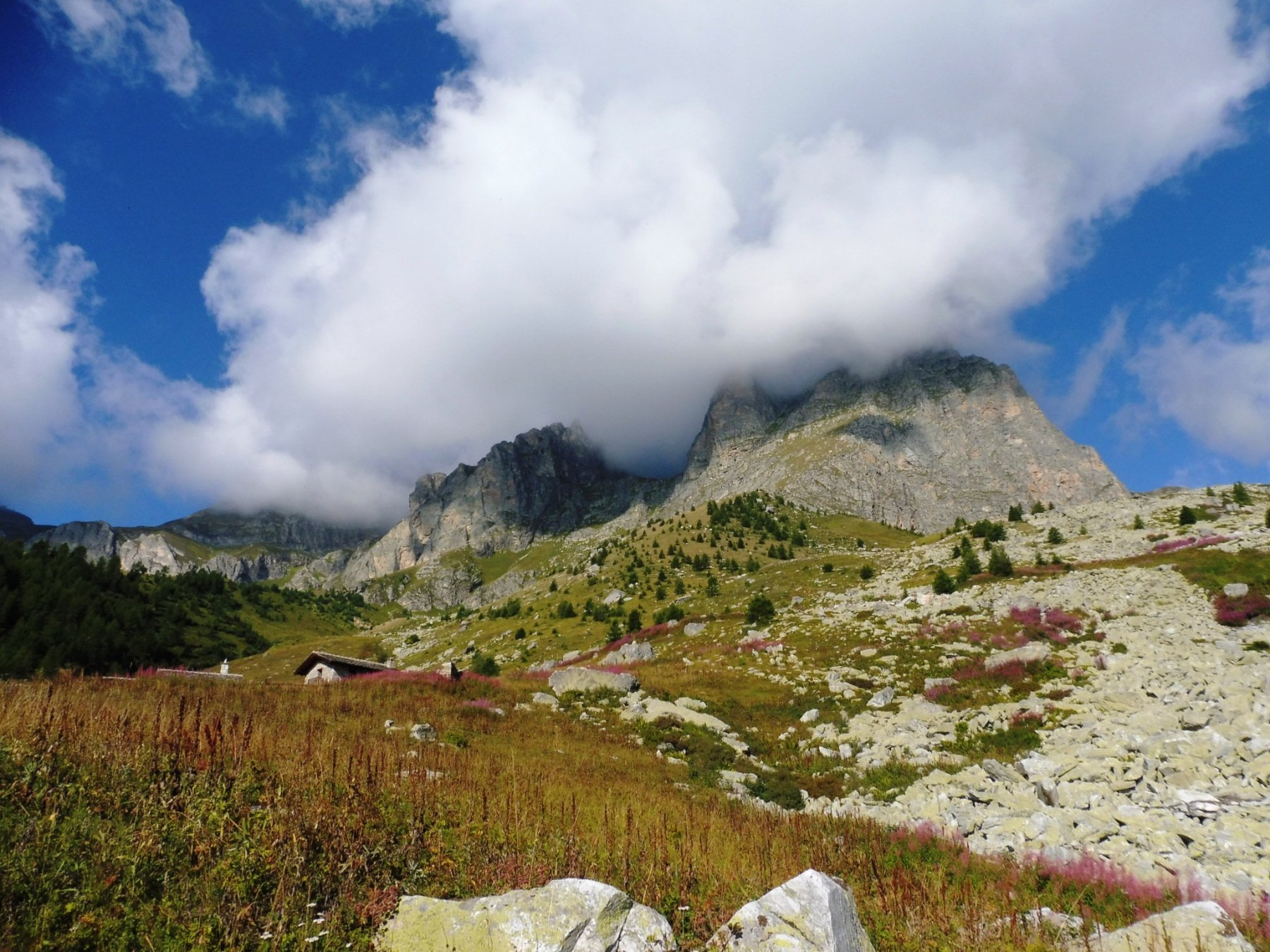
Il giorno seguente salire al Chersogno e dall’omonimo passo raggiungere il passo delle Brune, scendere nel vallone di Verzio raggiungendo le grange Verzio soprane.
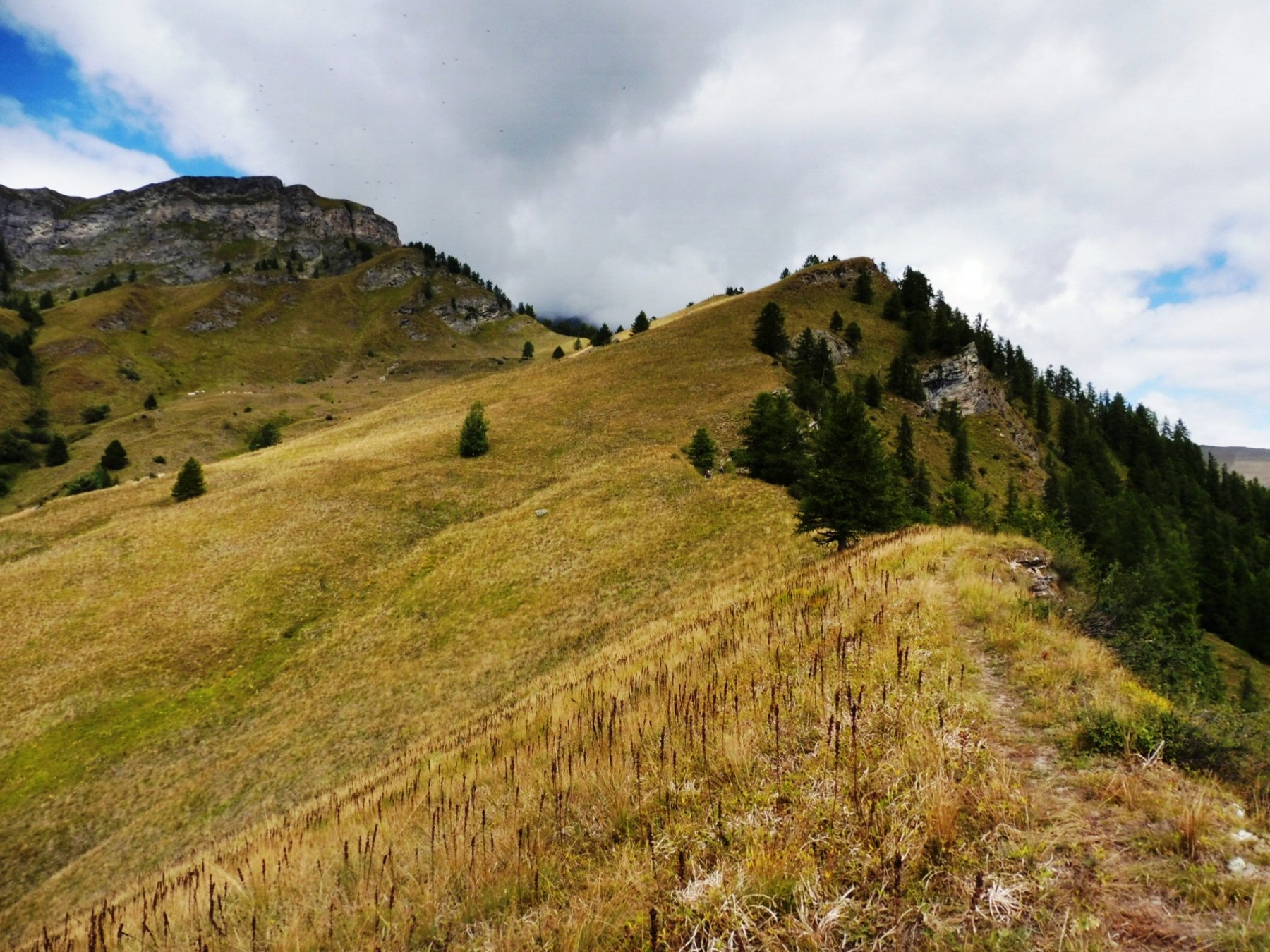
Proseguire per strada sterrata alle grange Serri e salire al passo Sarasin che immette nel vallone di Ussolo.
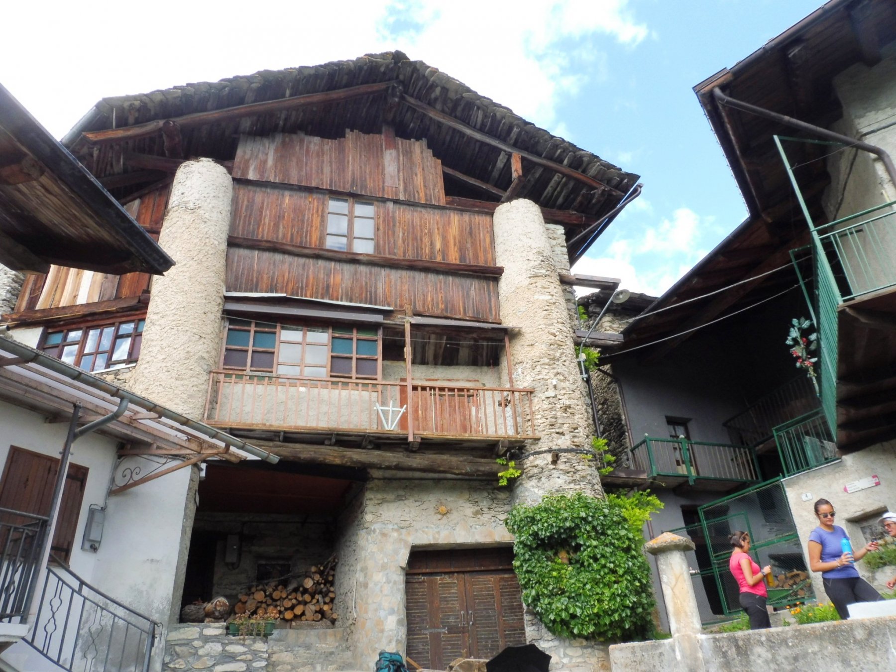
Scendere alla borgata e pernottare. Risalire al passo Albeno che immette nel vallone di San michele di Prazzo. Scendere per sentiero tra i boschi alla borgata Castiglione e salire seguendo la strada alla borgata Campiglione chiudendo l’anello.
Nelle vicinanze Mappa
Itinerari
28/08/2015 CN, Prazzo D+ 947 m E Sud
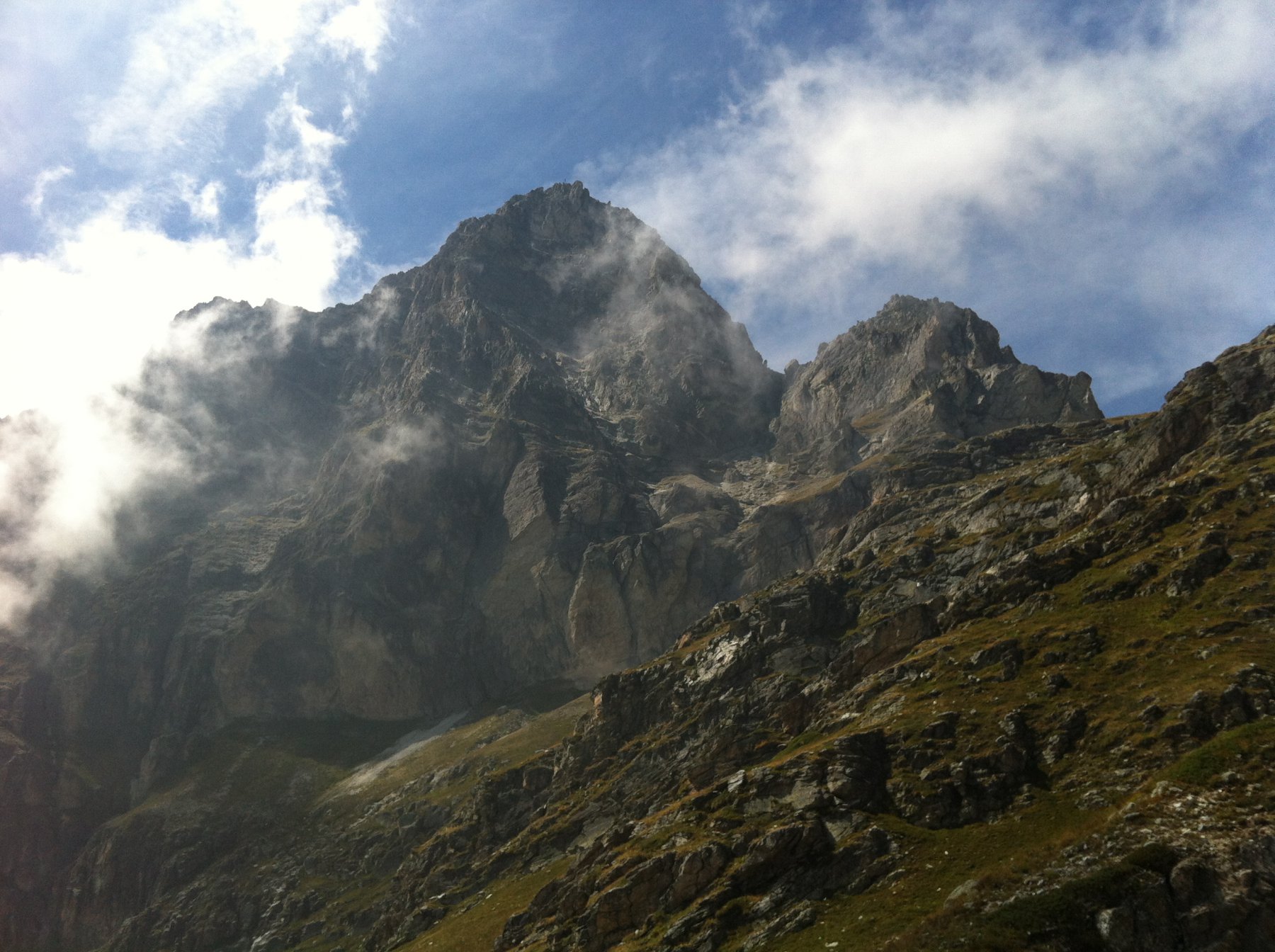
Camoscere (Lago delle) e Bivacco Bonfante da Campiglione
 0m
0m
05/07/2014 CN, Prazzo D+ 962 m EE Sud
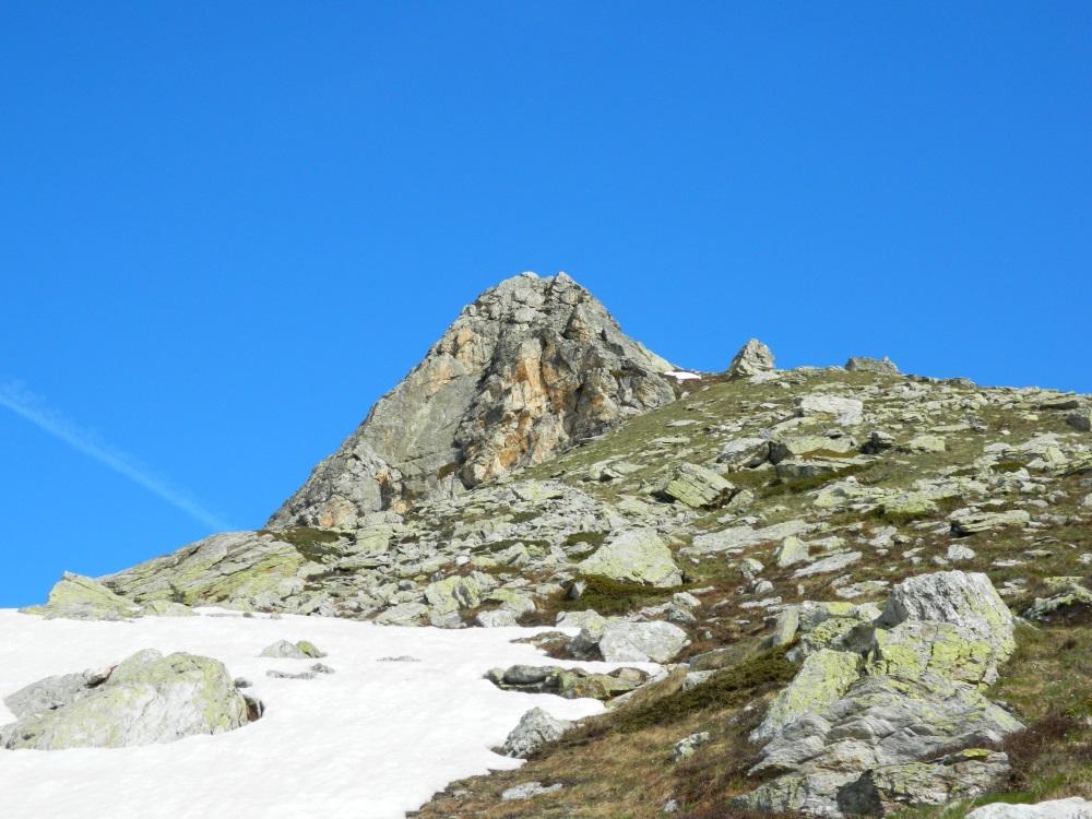
Gardetta (Punta della) da Campiglione per il Colle di Chiosso
 0m
0m
13/08/2025 CN, Prazzo D+ 1400 m EE/F Sud
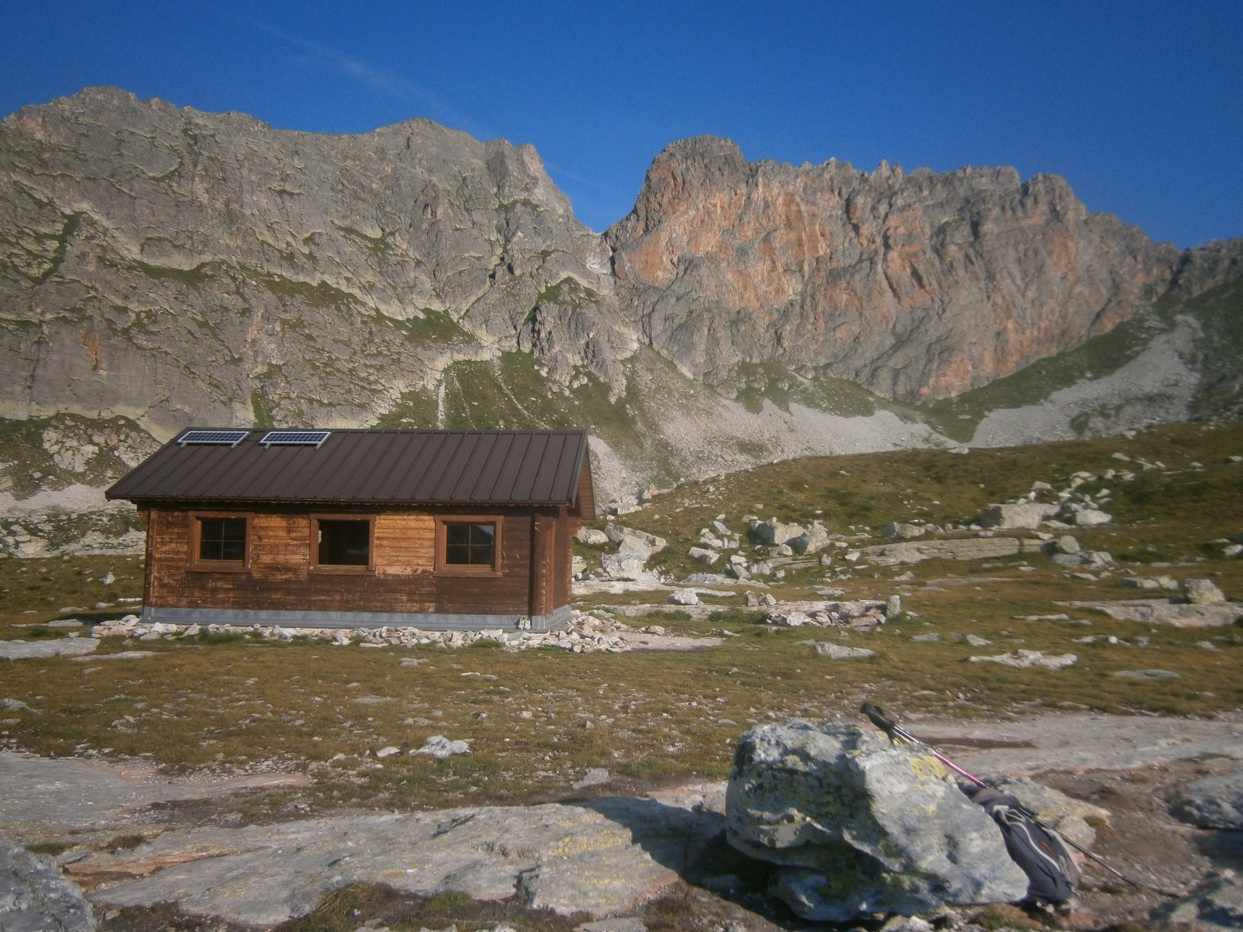
Pelvo d’Elva da Campiglione per il Monte Camoscere
 50m
50m
09/07/2026 CN, Prazzo D+ 1322 m EE Varie
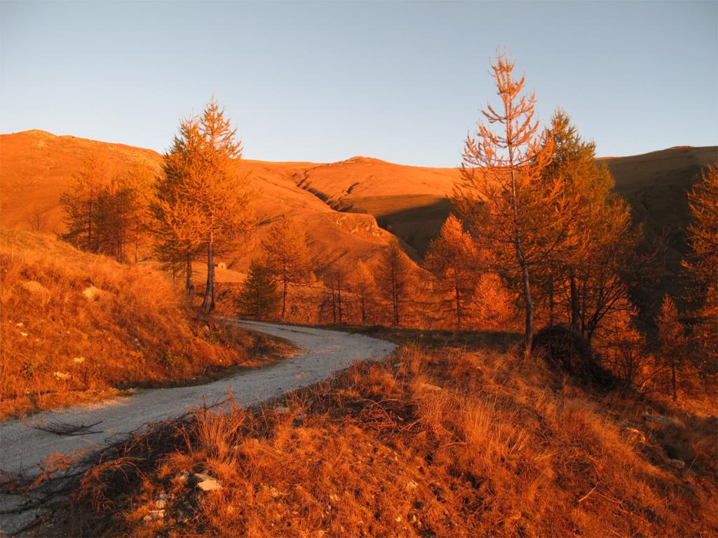
Chersogno (Monte) da Campiglione per il Colle di Chiosso
 50m
50m
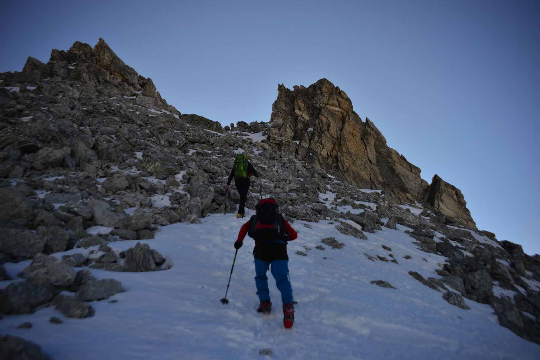
20/06/2020 CN, Prazzo D+ 1270 m EE Sud-Ovest
Camoscere (Monte) da Campiglione
 50m
50m
28/06/2026 CN, Prazzo D+ 2400 m EE/F Tutte
Chersogno (Monte), Rocca la Marchisa, Pelvo d’Elva da Campiglione, anello
 50m
50m
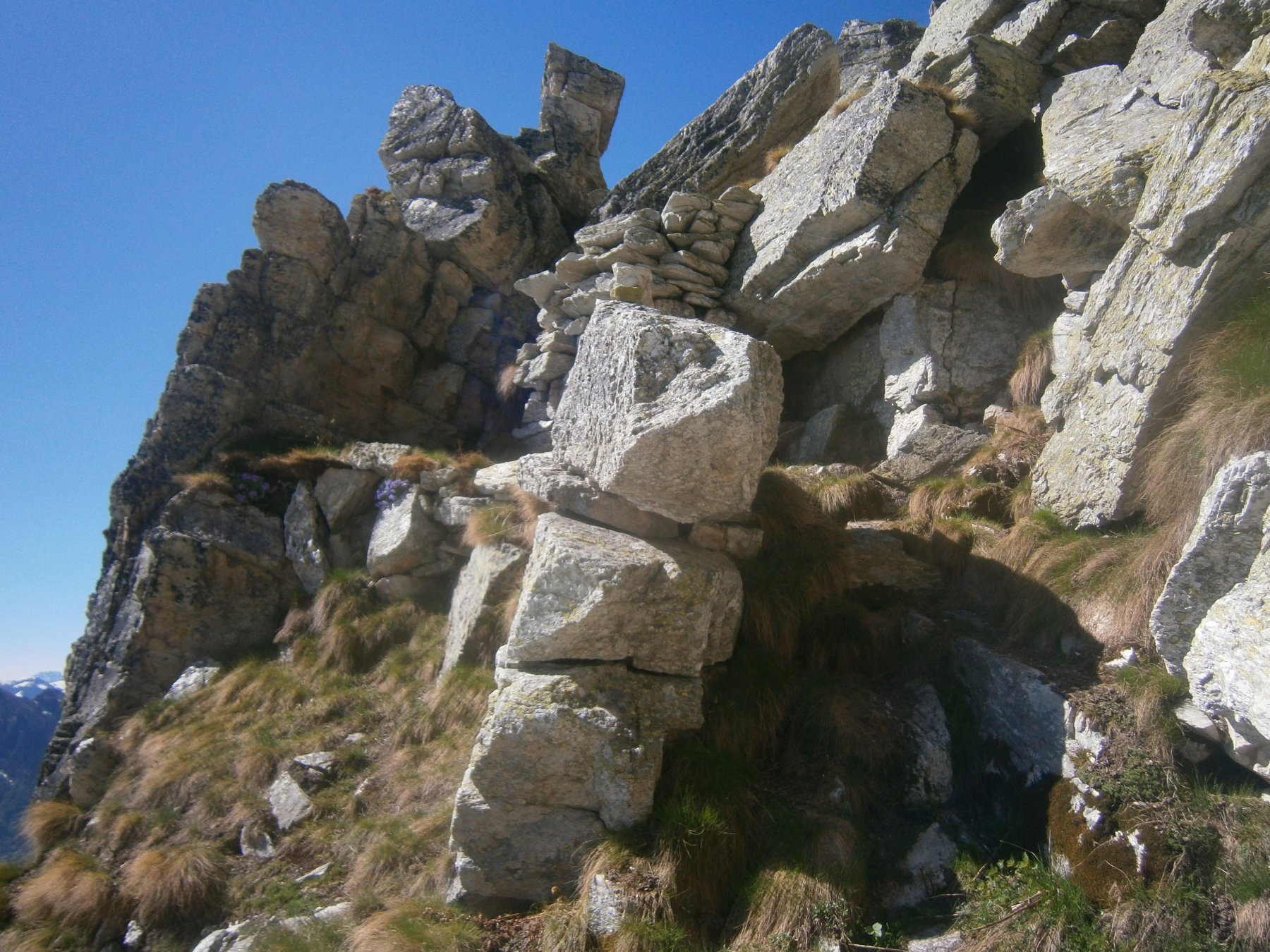
03/03/2022 CN, Prazzo D+ 1100 m E Varie
Ruissas (Monte) da Campiglione per le Porte di Roma
 50m
50m
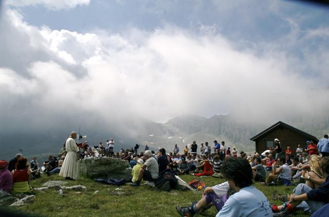
05/06/2016 CN, Prazzo D+ 650 m E Sud-Ovest
Bonfante Elio (Bivacco) alle Camoscere da Campiglione
 50m
50m
21/08/2014 CN, Prazzo D+ 689 m E Sud-Est
San Michele (Colle) da San Michele di Prazzo, traversata a Elva
 3.1Km
3.1Km
11/06/2024 CN, Prazzo D+ 954 m E Sud-Est
Ciarmetta (Punta) da San Michele di Prazzo
 3.1Km
3.1Km
Servizi
4.1Km
4.1Km
Antica Osteria Albergo
Prazzo
5.2Km
San Pancrazio – Hans Clemer Albergo
Elva
6Km
Gentil Locanda Ristorante
Marmora
6.2Km
La sousto du col Rifugio
Elva
7.3Km
Le Marmotte Ristorante
Acceglio
7.5Km
Del Pelvo Rifugio
Bellino
7.9Km
La Barmo Ristorante
Acceglio
8.1Km
Londra Albergo
Acceglio
8.1Km