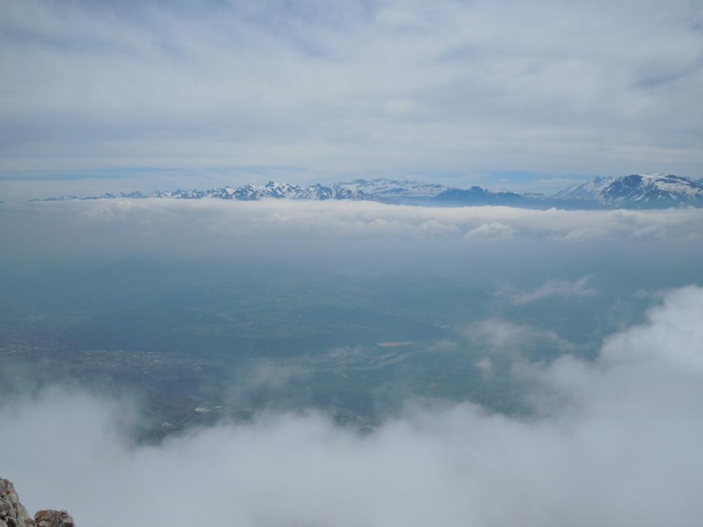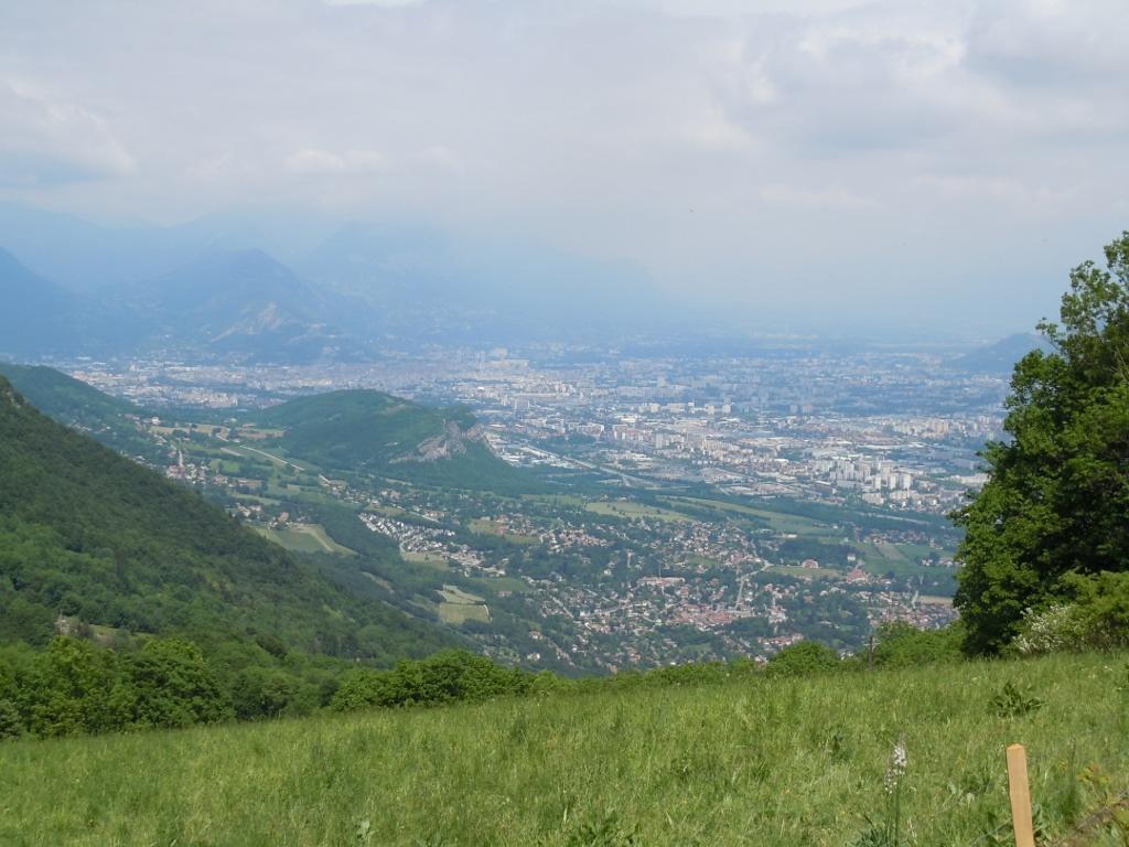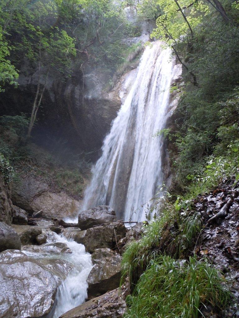
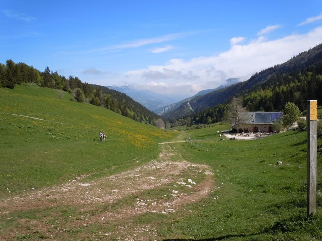
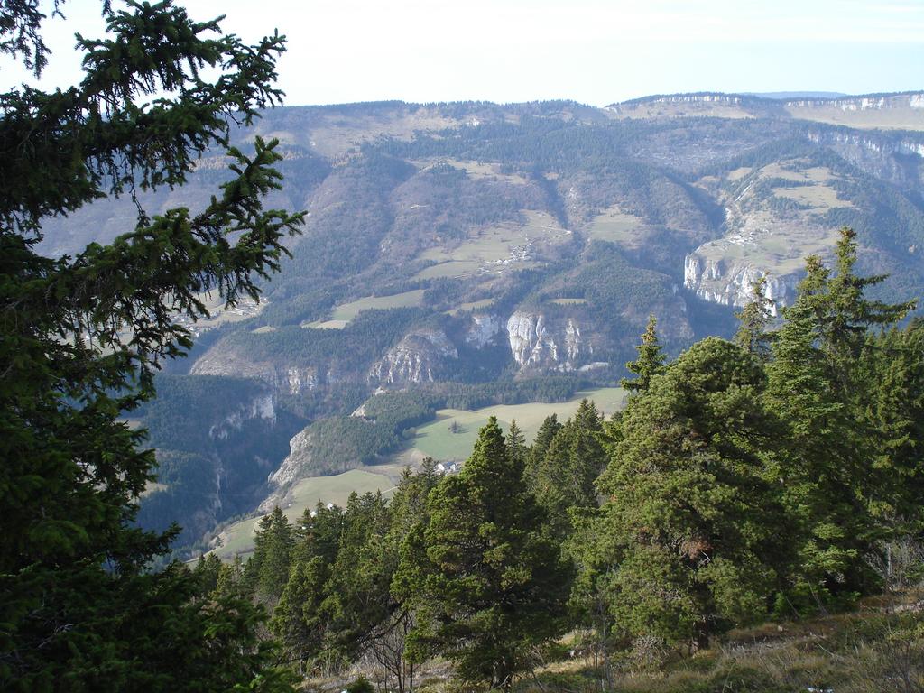
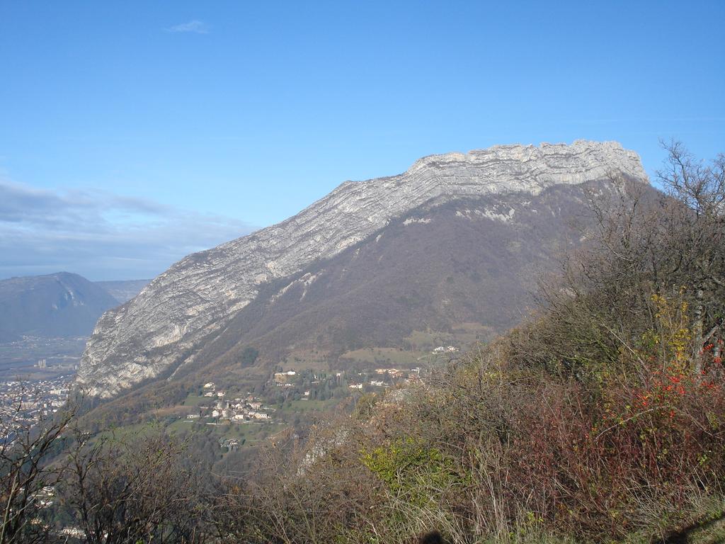
Dall’ufficio turistico di Lans-en-Vercors (1020 m) seguire le indicazioni per il Pic Saint Michel, sentiero giallo e verde. Attraversati i boschi di Lans, si arriva al Collet du Furon, dove si ignorano le indicazioni per il Col de l’Arc, proseguendo invece sul sentiero giallo e verde per il Pic Saint Michel, che si svolge in un ambiente suggestivo di rocce calcaree. Dalla cima (1966 m) di gode un panorama a 360° sulla Valle di Lans, sui massicci della Chartreuse, Belledonne, Taillefer e, in lontananza, il Monte Bianco e gli Écrins. Si scende poi verso sud al Col de l’Arc (1736 m), da cui si seguono le indicazioni per Claix (marchi gialli). Il sentiero si immerge presto nei boschi e diventa poi strada sterrata e infine asfaltata. Poco prima di giungere a Claix (300 m) è possibile seguire una deviazione di circa 200 m per la cascata della Pissarde (non è segnalata, ma basta farsi guidare dal rumore).
Nelle vicinanze Mappa
Itinerari
Molière (la) da Engine les Jaux, anello e per il Plateau de Sornin
Sornin (Plateau de) da Engins
Moucherotte (le) da Saint Nizier du Moucherotte
 6.7Km
6.7Km
Aigle (Bec de l’) da Saint-Nizier, traversata a Lans-en-Vercors
Grande Moucherolle (la) da Corencon-en-Vercors
Prè Achard dal Colle dell’Arzelier
 15.4Km
Rachais (Mont) da Grenoble per la Bastiglia e il Memoriale delle Truppe di Montagna
 17.5Km
Conest (Montagne du): la Peyrouse e Beauregard da Laffrey
Baconnet (Rocher du) da Monestier de Clermont, par le Pas du Serpaton
Brisou (Crête du) da Champ de l’Herse, anello
 26.7Km