350m
350m
Note
Storico
 0m
50m
100m
250m
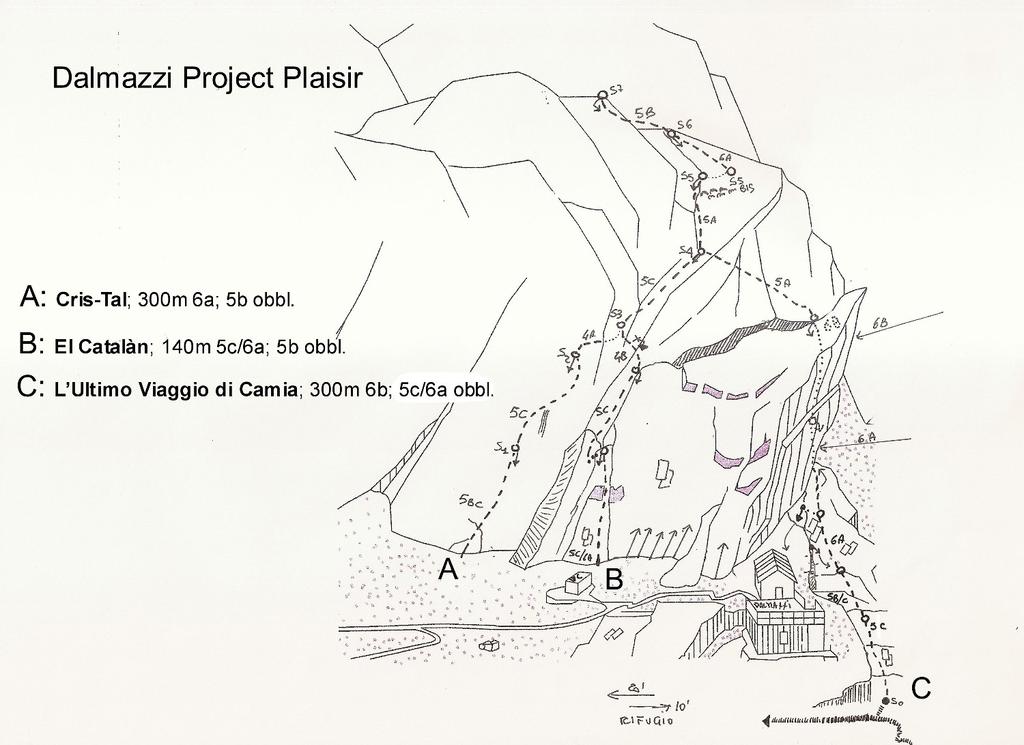
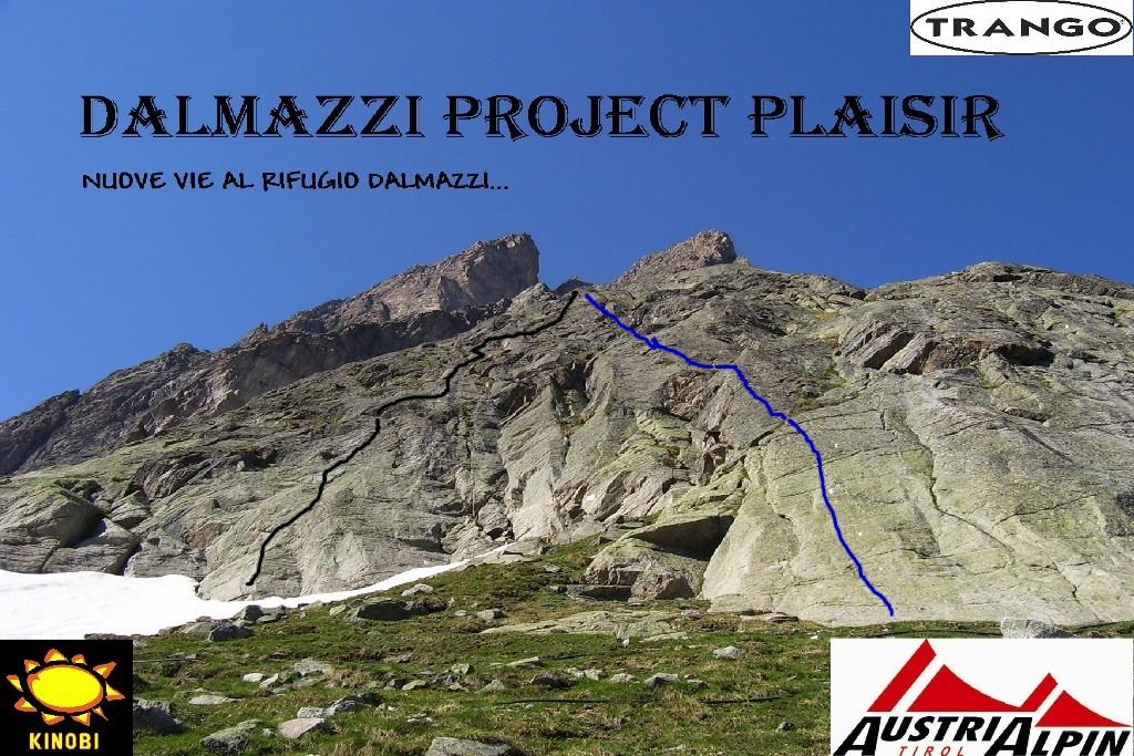
300m
400m
400m
450m
500m
0m
50m
100m
250m
300m
400m
400m
450m
500m
350m
5.2Km
7Km
7.4Km
7.5Km
7.6Km
7.6Km
7.8Km
7.8Km
7.8Km
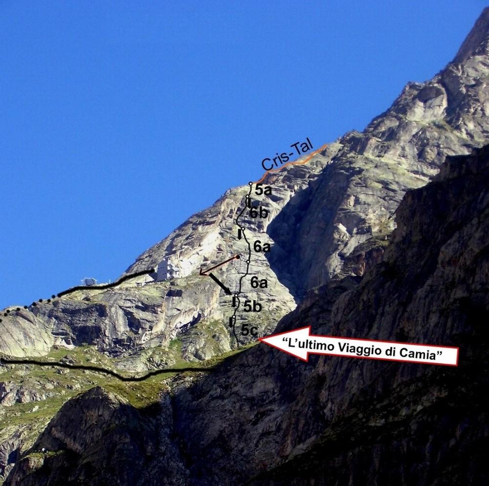
Materiale: corde da 60m! 10 rinvii, cordini e fettucce.
Via completamente attrezzata con fix e tasselli da 10mm inox, non è necessario materiale aggiuntivo. Quasi tutti i tiri sono da 50/55m.
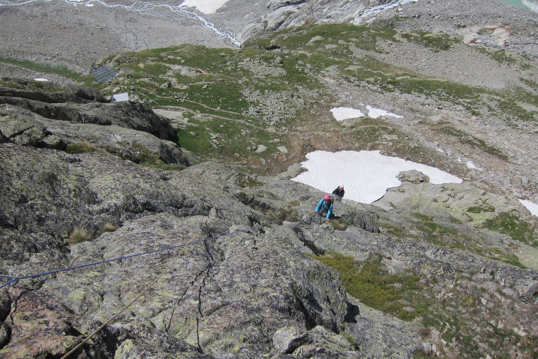
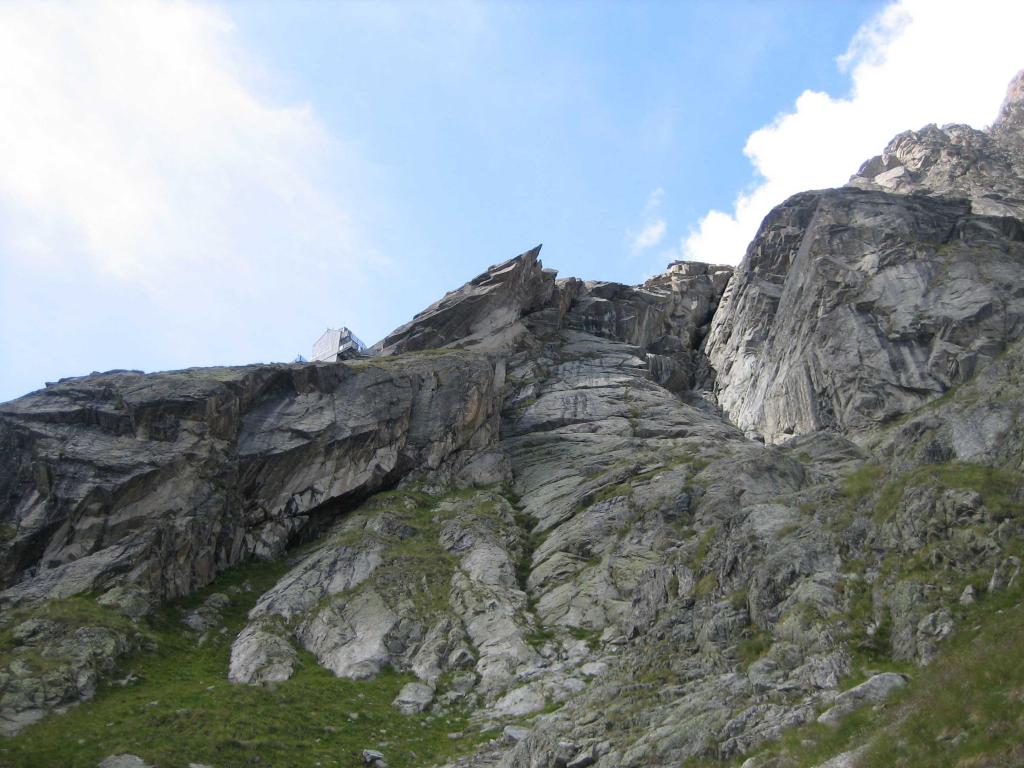
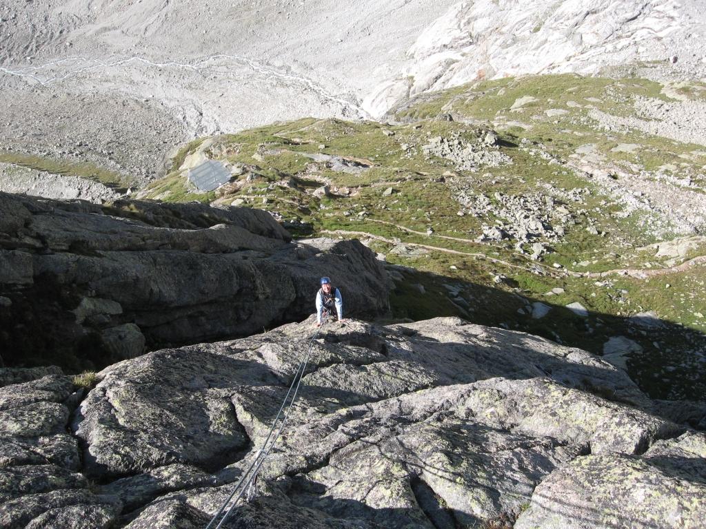
Avvicinamento
Via completamente attrezzata con fix e tasselli da 10mm inox, non è necessario materiale aggiuntivo. Quasi tutti i tiri sono da 50/55m.
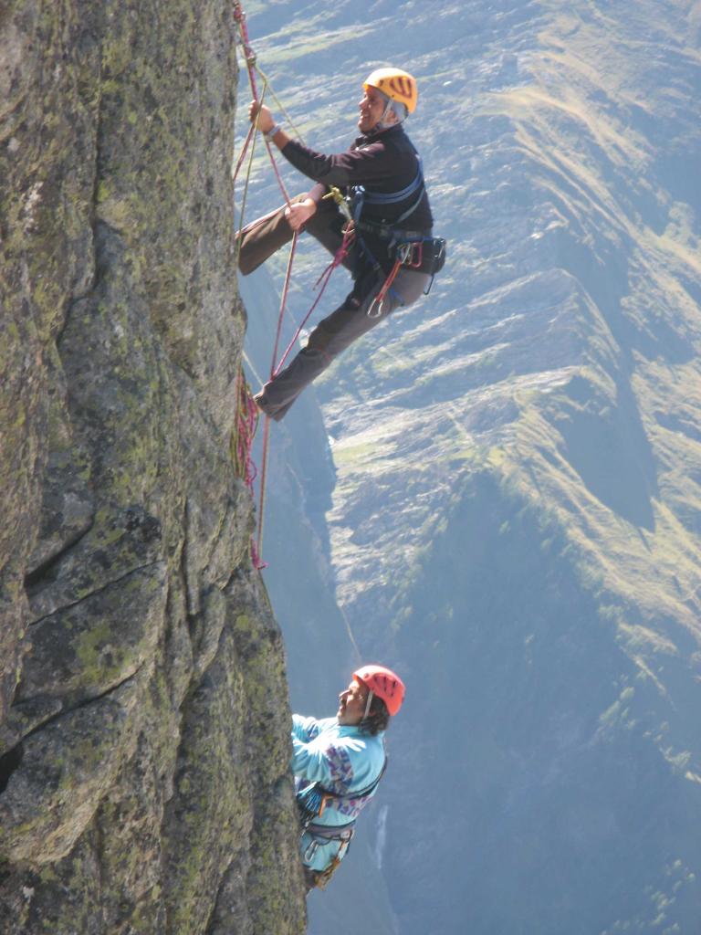
Dal rifugio portarsi verso il locale con i bagni e proseguire salendo a DX per una 20ina di metri, attacco alla base di una placca-spigolo bianca, fixe visibili.
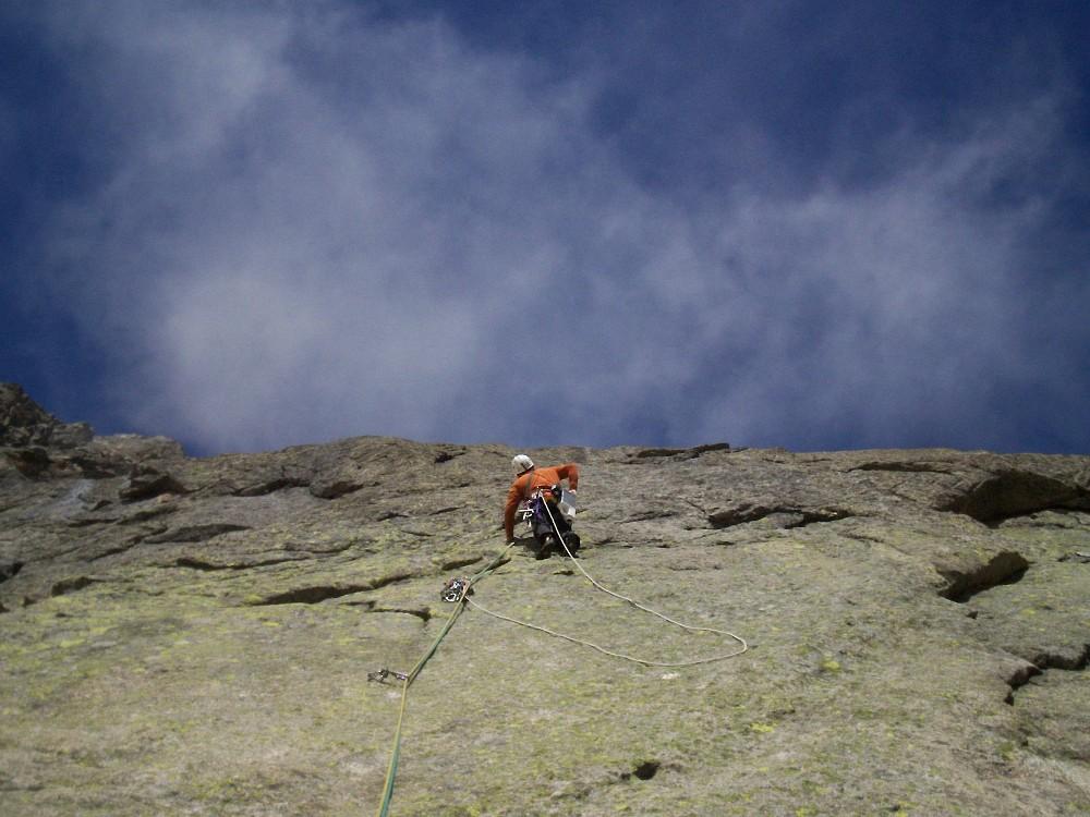
Descrizione
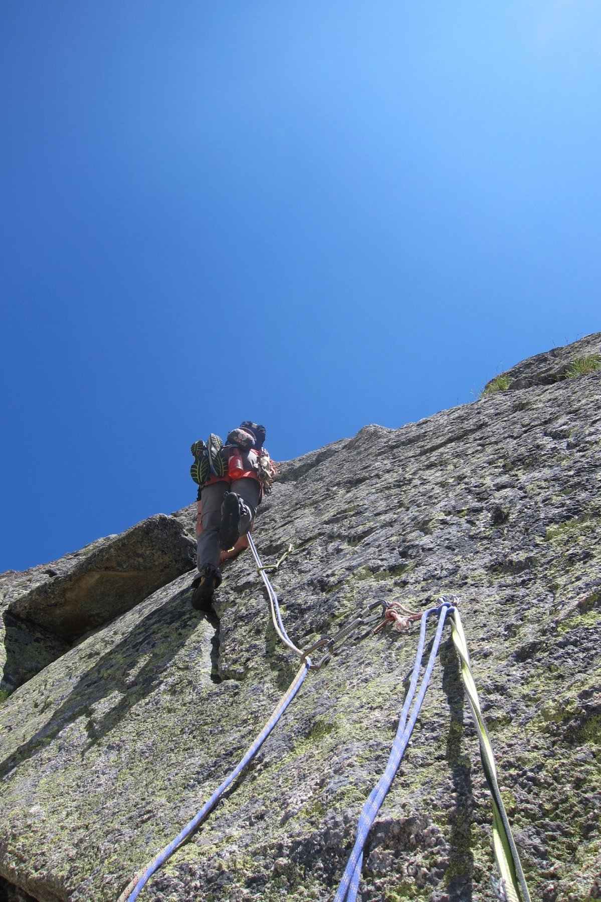
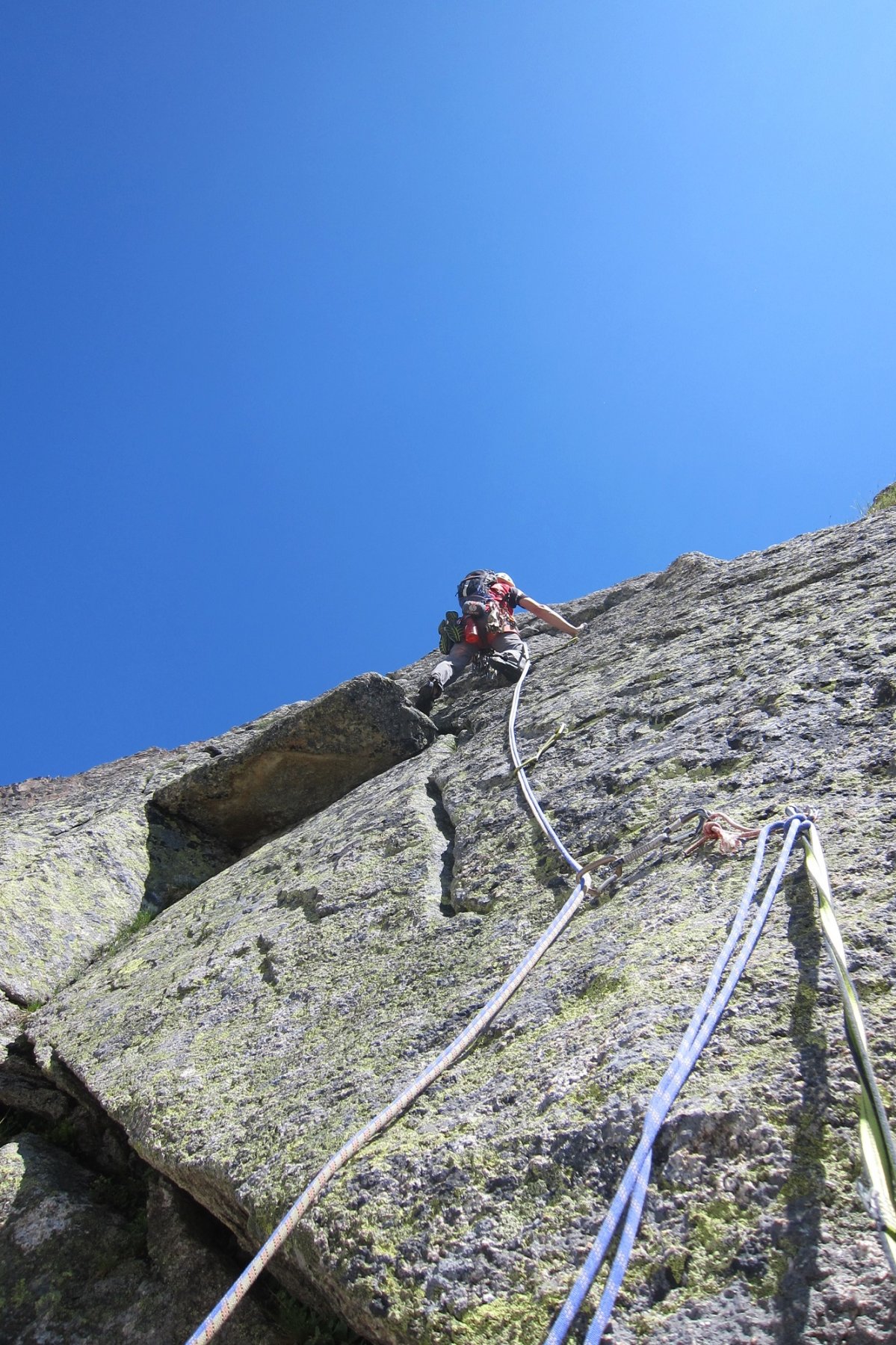
- L1: superare la placca sin sotto una piccola pancia, salirla e proseguire su facile placca e fessure, 5b/c
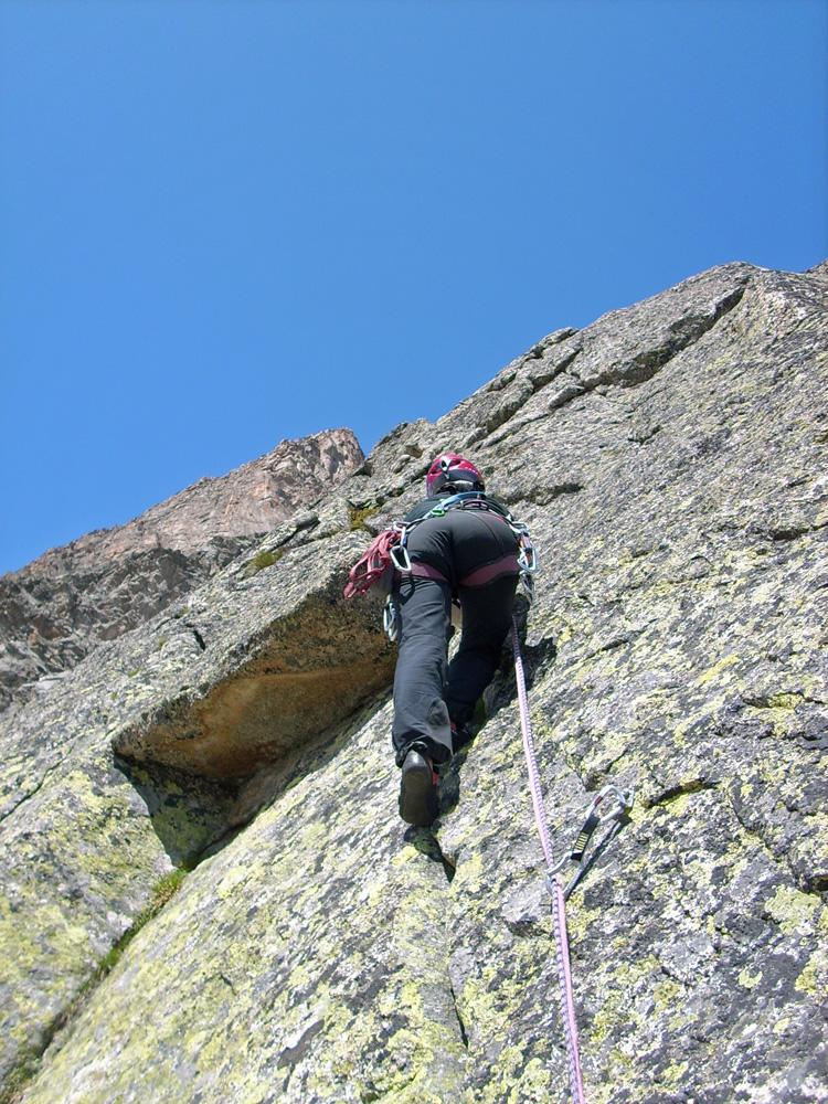
- L2: salire la bella placca nera e scavalcare un vago diedrino, muretto e cresta a semi cerchio da Dx a Sx, 5c.
- L3: facile crestina e spostarsi a SX per pochi metri superando una facile placca, sosta alla base di una bella fessura, 4a.
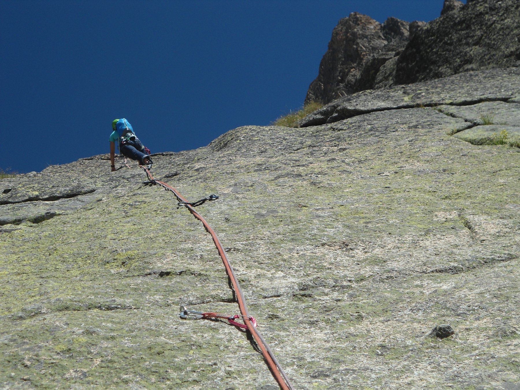
- L4: salire la fessura ed alla fine spostarsi a Dx su placca delicata sino alla sosta, 5c.
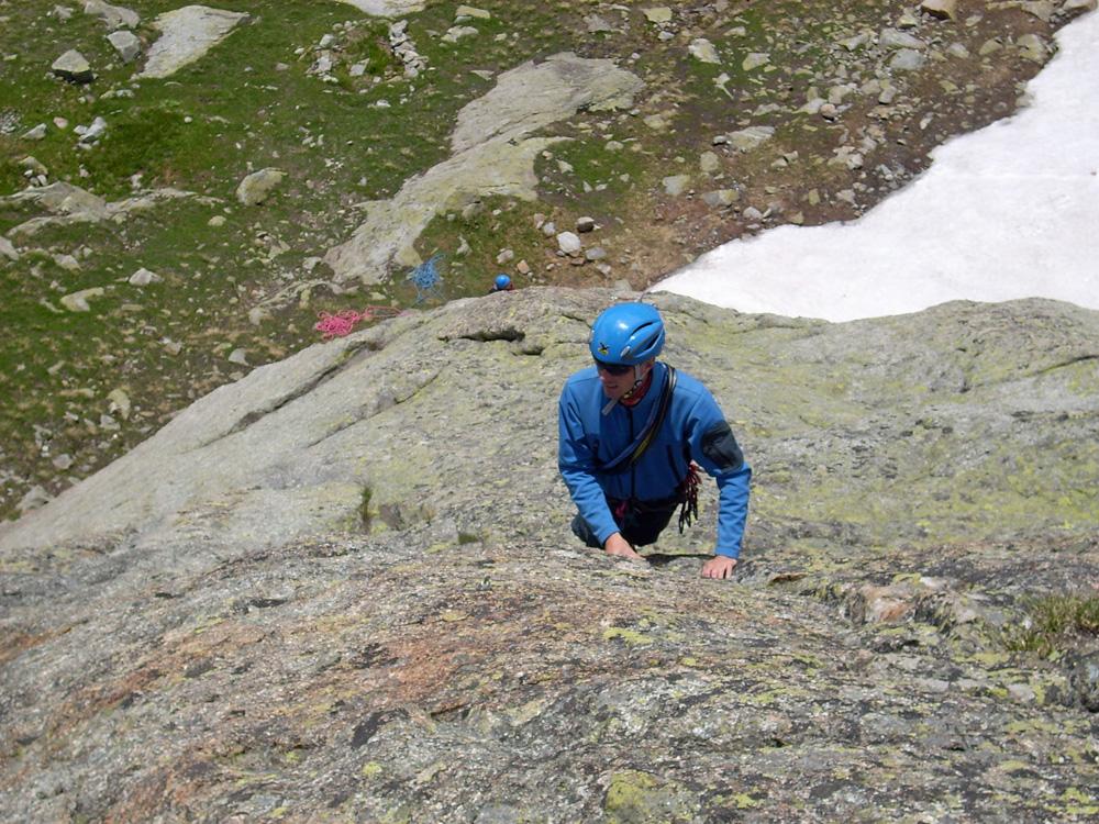
- L5: continuare lungo la cresta a superare un muretto e risalti di roccia, 5a.
- L5bis: spostarsi a Dx per vaga cengia, 10m, sin sotto un bel muro compatto.
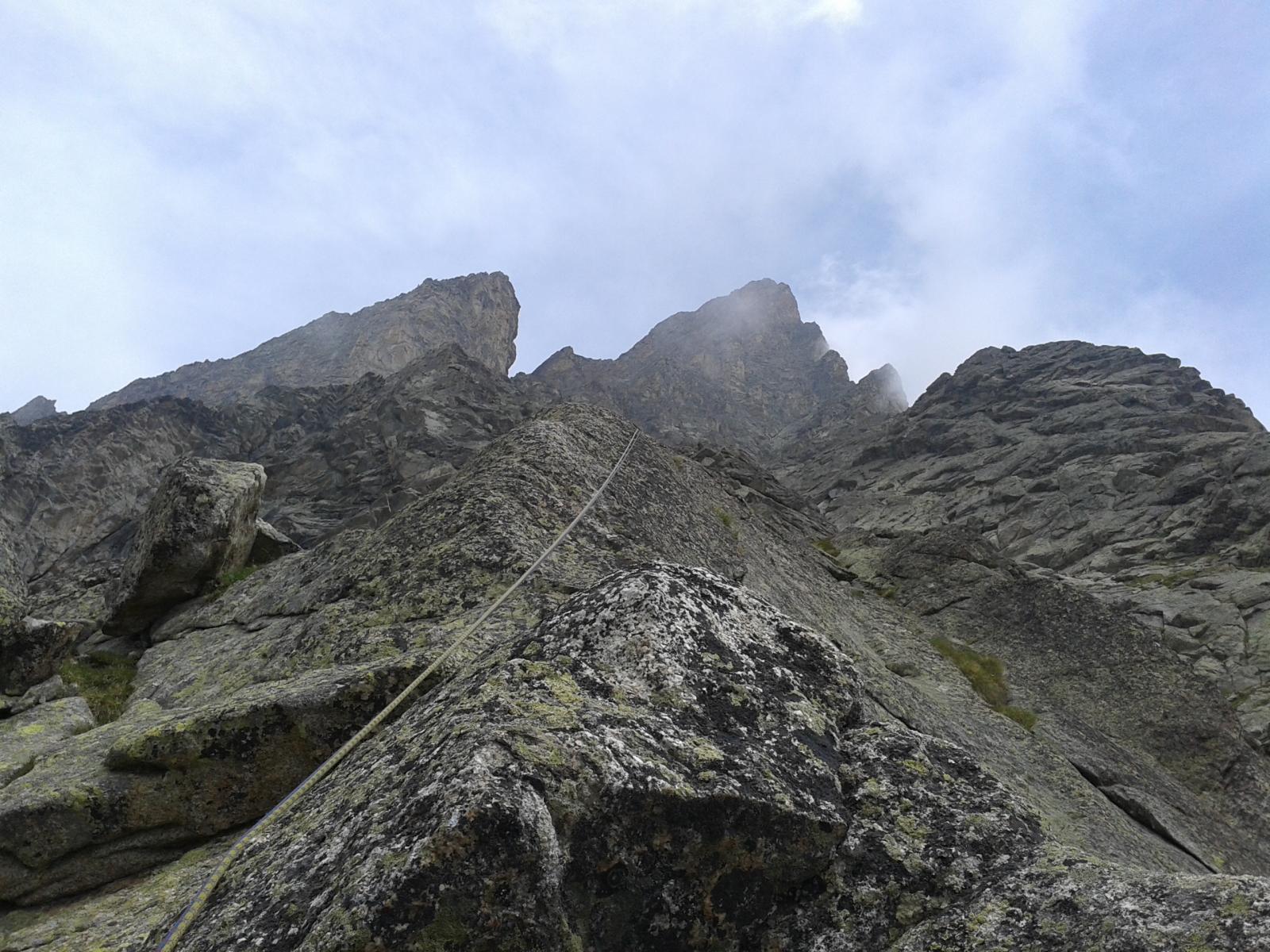
- L6: superare il muro, 6a, e proseguire più facilmente sino alla sosta, 5b.
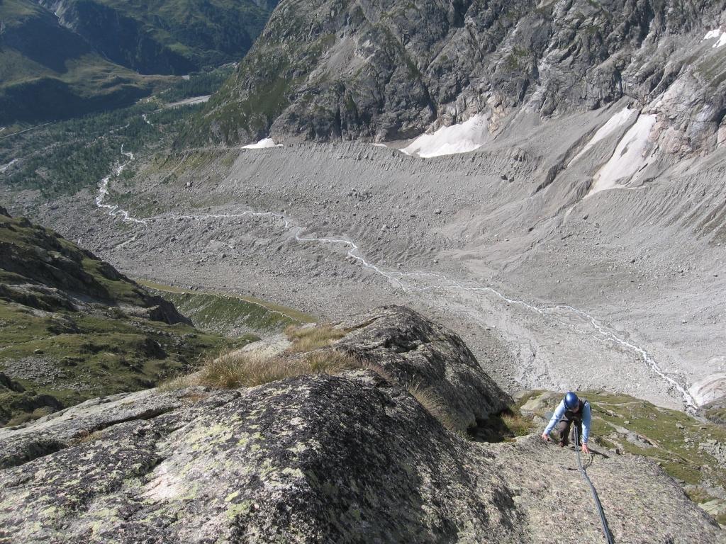
- L7: per cresta e saltini sino alla sosta su di un pulpito, 5b.
Discesa: in doppia lunga la via di salita saltando S3. Soste con cordino e maillon.
N.B. Dall’ultima sosta ci si può calare direttamente alla S5 facendo attenzione che le corde arrivano un po’…giuste!
Primi salitori: M. Bernini, D. Gonella, S. Latino 09/2007
- Bibliografia:
- Guide Monte Bianco
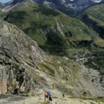
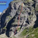
Nelle vicinanze Mappa
Itinerari
20/08/2024 AO, Courmayeur 6b, 5c obbl. Sud
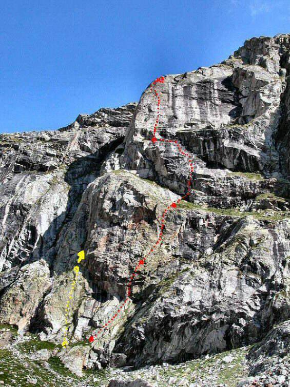
Triolet (Monts Rouges de), Punta Est – L’Ultimo Viaggio di Camia
 0m
0m
09/07/2011 AO, Courmayeur 6b, 6a obbl. Sud
Triolet (Monts Rouges de), Contrafforti del Rifugio Dalmazzi – Quelli che la Montagna
 50m
50m
09/09/2014 AO, Courmayeur 6b+, 6a+ obbl. Sud
Triolet (Monts Rouges de), Punta Est, Cresta Sud – La Ragazza di Ipanema
 100m
100m
04/09/2019 AO, Courmayeur 6c, 6b obbl. Sud
Val Ferret, Parete dei Titani – Titanic
 250m
250m
21/06/2020 AO, Courmayeur 7a, 6b+ obbl. Sud-Ovest
Val Ferret, Parete dei Titani – Ahi Ahi Ahi
 300m
300m
05/07/2025 AO, Courmayeur 6a, 5b obbl. Sud
Triolet (Monts Rouges de), contrafforti del Rifugio Dalmazzi – El Catalàn
 400m
400m
15/08/2016 AO, Courmayeur 6a, 5b obbl. Sud-Ovest
Triolet (Monts Rouges de) – Il Fabbro ed il Filosofo
 400m
400m
20/08/2024 AO, Courmayeur 6a, 5c obbl. Sud
Val Ferret, Parete dei Titani – Génépy 1
 450m
450m
08/09/2021 AO, Courmayeur 6a+, 6a+ obbl. Sud
Val Ferret, Parete dei Titani – Via dei Fiorentini
 500m
500m
08/10/2016 AO, Courmayeur 6c, 6b obbl. Sud-Ovest
Val Ferret, Parete dei Titani – 13 Ans de Reflexion
500m
Servizi
350m
5.2Km
Lavachey Albergo
Courmayeur
7Km
Cabane de l’A Neuve Rifugio
La Fouly 7.4Km
7.4Km
Chalet le Dolent B&B
La Fouly 7.5Km
7.5Km
Hôtel du Col de Fenêtre Albergo
La Fouly 7.6Km
7.6Km
Majya-Joie Ristorante
La Fouly 7.6Km
7.6Km
Auberge de Maya Joie Albergo
La Fouly 7.8Km
7.8Km
Zanskar Sport Servizi
La Fouly 7.8Km
7.8Km
Auberge des Glaciers Albergo
La Fouly 7.8Km
7.8Km