100m
100m
Note
 50m
50m
50m
50m
50m
50m
50m
50m
50m
50m
50m
50m
50m
50m
50m
50m
50m
50m
50m
50m
Gita che non presenta nessuna difficoltà tecnica e si svolge sempre su sentieri ben tracciati; il giro comprende la salita nel vallone Sibolet e la discesa nel vallone Miniera.
Avvicinamento
Si risale la valle Grana fino ad arrivare al santuario dedicato a San Magno,dove si lascia l'auto.
Descrizione
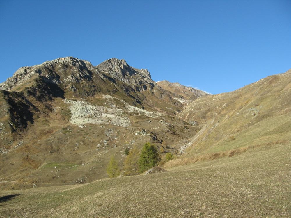
Partenza dal santuario dove si segue la sterrata che risale il vallone Sibolet passando per il gias omonimo; si risalgono i pendii erbosi fino ad arrivare al colle Intersile ,sulla dorsale Grana-Maira.
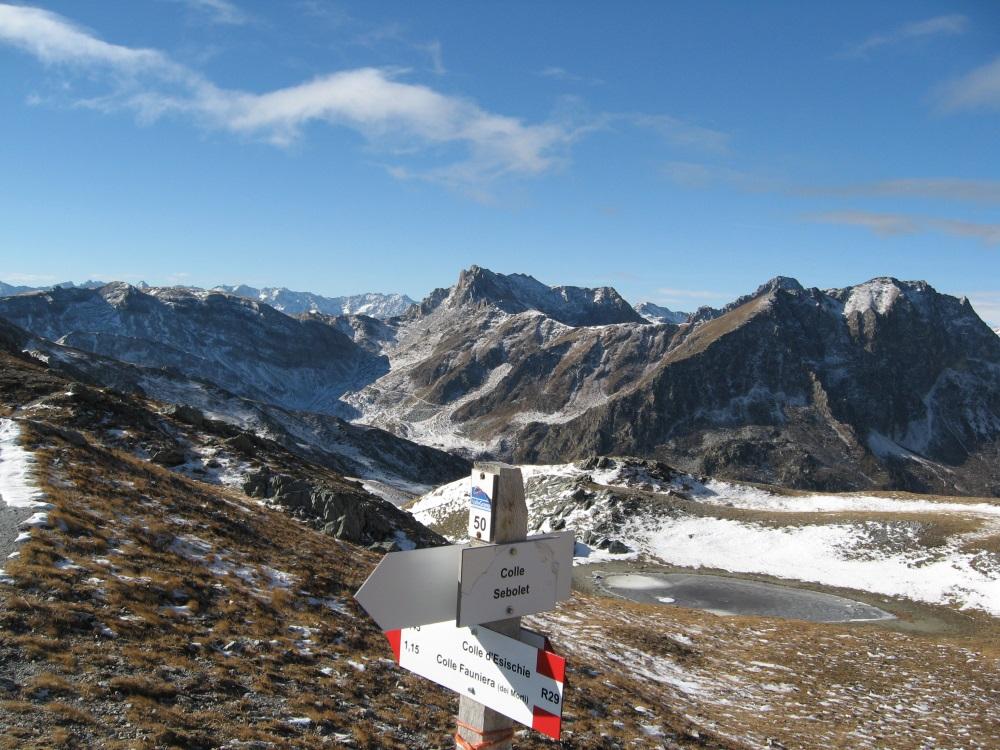
Dal colle si compie un breve traverso e in breve si arriva al colle Sibolet per poi salire sulla punta Sibolet.
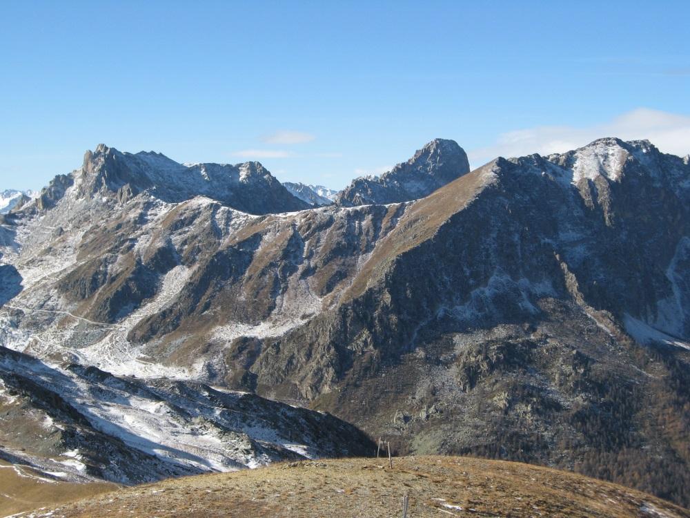
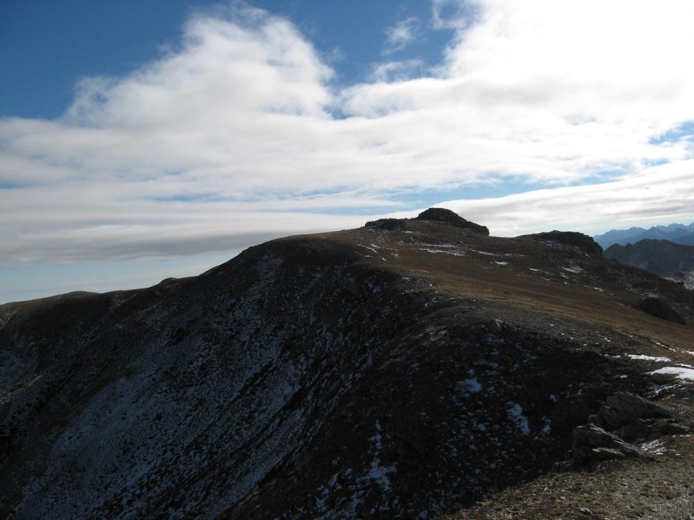
Dalla punta Sibolet si segue la dorsale e si scende fino ad una sella per poi risalire velocemente sulla cima Reina.
Discesa tagliando i pendii sotto la punta Sibolet e senza percorso obbligato si percorre il vallone Miniera fino ad incrociare la strada che sale al colle d’Esischie. Ritorno a SaN Magno su strada asfaltata o sui sentieri che scendono a lato del torrente Grana.
- Cartografia:
- igc valle Maira 1-25000
Nelle vicinanze Mappa
Itinerari
16/08/2013 CN, Castelmagno D+ 606 m E Sud
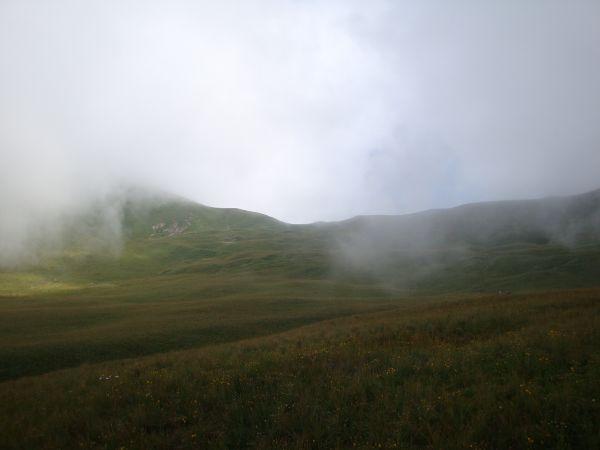
Narbona (Bassa di) dal Santuario di San Magnoper il Passo delle Crosette
 50m
50m
06/08/2021 CN, Castelmagno D+ 821 m E Est
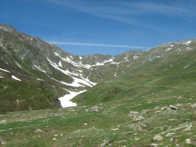
Sibolet (Punta) dal Santuario di San Magno
 50m
50m
20/10/2015 CN, Castelmagno D+ 1458 m E Tutte
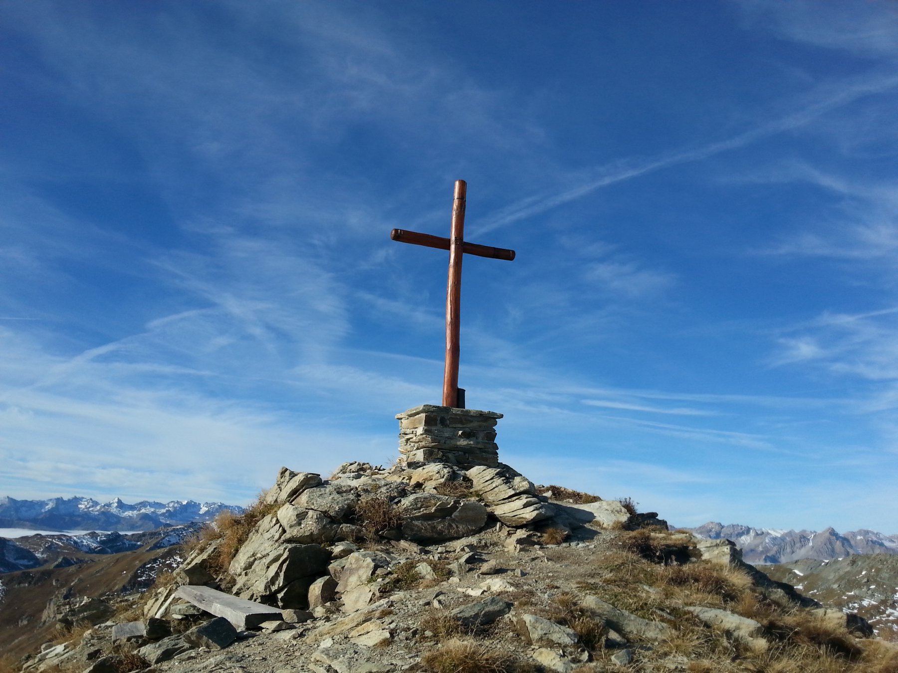
Tibert (Monte), Punta Sibolet, Monte Pelvo, Cima Fauniera, Punta Parvo dal Santuario di San Magno, anello
 50m
50m
30/12/2011 CN, Castelmagno D+ 574 m E Sud-Est
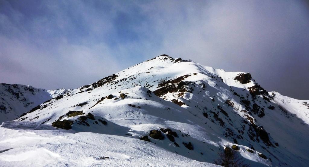
Chiot (Costa) dal Santuario di San Magno per il Colle Crosetta
 50m
50m
31/07/2021 CN, Castelmagno D+ 435 m E Sud
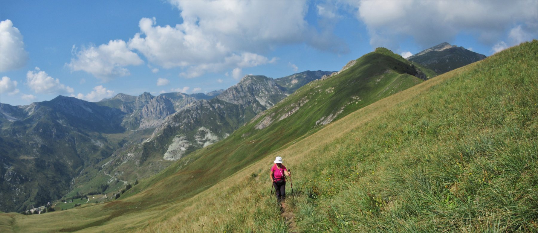
Crosetta (Monte) dal Santuario di San Magno
 50m
50m
18/06/2025 CN, Castelmagno D+ 1100 m E Tutte
Tibert (Monte) dal Santuario di San Magno, anello per Colle Intersile e Monte Crosetta
 50m
50m
23/06/2026 CN, Castelmagno D+ 918 m E Sud-Est
Tempesta (Punta) dal Santuario di San Magno per il Colle Intersile
 50m
50m
23/06/2026 CN, Castelmagno D+ 886 m E Sud
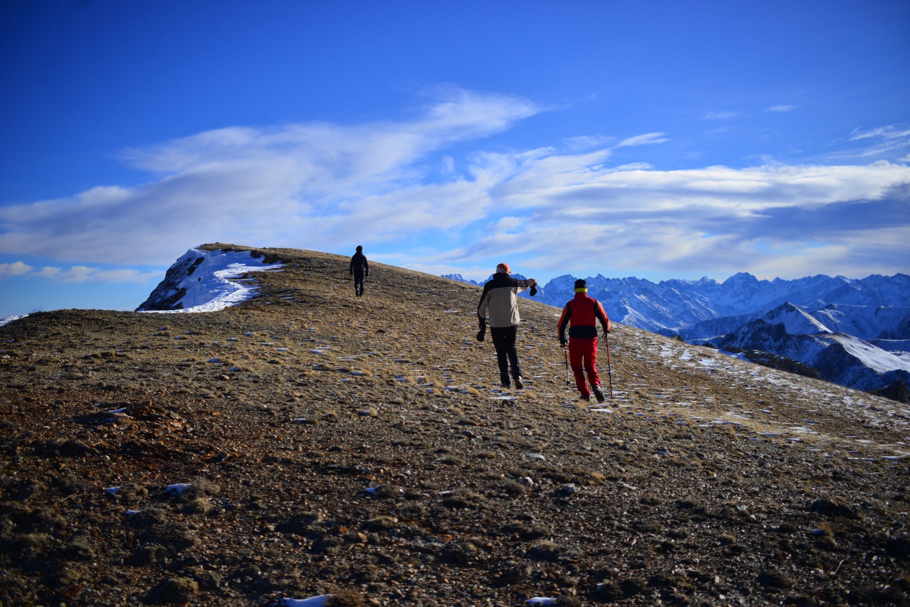
Tibert (Monte) da Santuario di San Magno
 50m
50m
04/06/2026 CN, Castelmagno D+ 1100 m EE Varie
Tibert (Monte) e Punta Tempesta dal Santuario di San Magno, anello per i colli Intersile e Sibolet
 50m
50m
06/11/2019 CN, Castelmagno D+ 650 m E Tutte
Cernauda (Rocca della) dal Santuario di San Magno, traversata per Colletto
 50m
50m