 50m
50m
Note
 1.2Km
2.8Km
2.8Km
2.8Km
2.8Km
4.7Km
5Km
5Km
1.2Km
2.8Km
2.8Km
2.8Km
2.8Km
4.7Km
5Km
5Km
50m
3.2Km
4.9Km
5.7Km
5.7Km
5.8Km
5.8Km
5.9Km
6.1Km
6.5Km
Il tratto dall'abitato di Salbertrand sino a Frenèe risulta quasi sempre privo di neve, ad eccezione delle settimane dopo abbondanti nevicate. Dall'abitato di Frenèe l'itinerario è invece totalmente innevato durante la stagione invernale e percorre la strada sterrata che conduce alla Galleria dei Saraceni. Lungo il percorso la strada supera alcuni canaloni; in caso di abbondanti nevicate i fenomeni valanghivi possono essere frequenti.
Avvicinamento
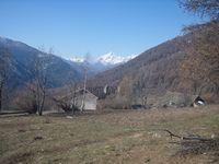
In cima all'abitato di Salbertrand, lasciata l'auto nei comodi parcheggi, in prossimità del ponte sul torrente Geronda, imboccare la strada sterrata che lo costeggia, sino ad incontrare un'abitazione, da lì parte la mulattiera per Frenèe.
Descrizione
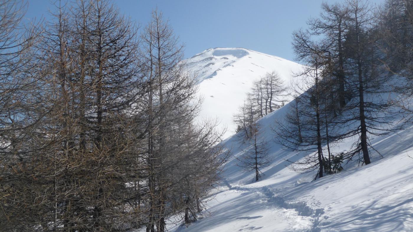
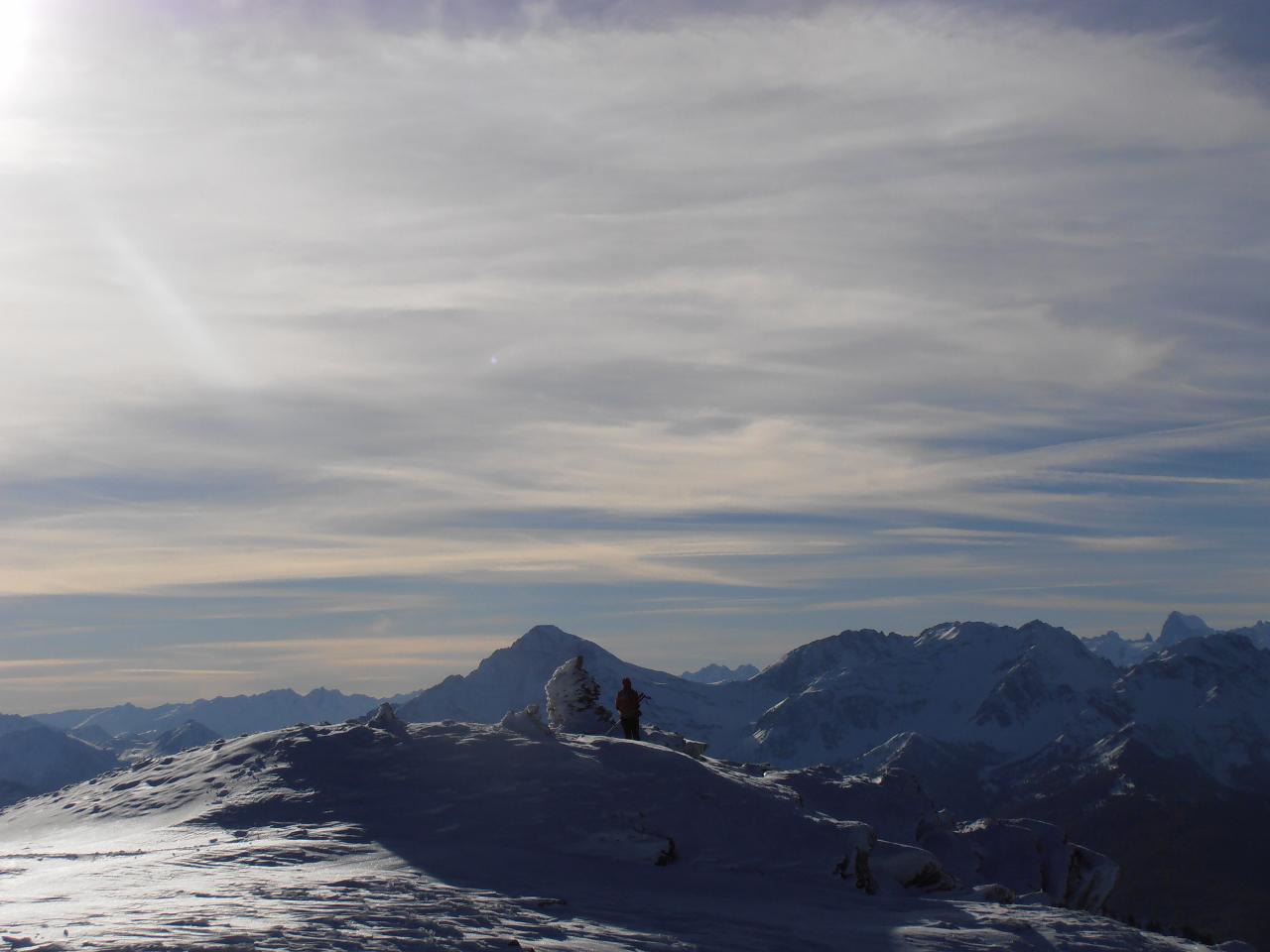
La mulattiera prende avvio in prossimità di un piccolo bosco. Alcune brevi svolte permettono di guadagnare quota fin da subito, passando a ridosso di un traliccio dell’alta tensione. Il sentiero sempre evidente procede lungo ampi prati fino all’abitato di Frenèe (1390 m). Entrati nella piccola borgata si svolta a destra, si incontrano alcune case e due fontane, superate le quali si piega a sinistra, imboccando una stretta mulattiera che dopo un centinaio di metri sbuca su una strada carrozzabile. Si svolta nuovamente a destra fino a raggiungere la strada che sale da Moncellier. Da qui senza possibilità di errore si segue la suddetta strada militare, che non presenta particolari pendenze in tutto il suo sviluppo. Lungo la salita si superano alcuni piccoli ponti ed una galleria di protezione della strada. In prossimità del colletto Pramand, raggiunto dopo qualche breve tornante, si abbandona la strada principale, per salire fino alla sommità del Monte Pramand (2162 m), dove si trova l’omonimo forte.
- Cartografia:
- Fraternali Val di Susa N.1
Nelle vicinanze Mappa
Itinerari
02/02/2025 TO, Salbertrand D+ 1050 m MR Ovest
Le Selle (Alpeggio) da Salbertrand
 1.2Km
1.2Km
11/01/2014 TO, Oulx D+ 616 m MR Nord
Selle (Alpe le) da Monfol per il Rifugio Daniele Arlaud
2.8Km
09/02/2019 TO, Oulx D+ 300 m MR Nord-Est
Arlaud Daniele (Rifugio) da Monfol
 2.8Km
2.8Km
23/02/2019 TO, Oulx D+ 919 m MR Nord-Ovest
Blegier (Monte) da Monfol
 2.8Km
2.8Km
14/12/2025 TO, Oulx D+ 987 m MR Nord-Est
Genevris (Monte) da Monfol, anello per i colli di Costa Piana e Blegier
 2.8Km
2.8Km
19/02/2023 TO, Oulx D+ 1480 m MR Nord
Blegier (Monte), Punta di Moncrons, Monte Genevris da Monfol, anello
 2.8Km
2.8Km
12/05/2013 TO, Exilles D+ 1480 m BR Sud-Est
Sommeiller (Punta) da Grange della Valle
4.7Km
12/06/2021 TO, Exilles D+ 1600 m BRA, F Nord-Est
Vallonetto (Cima del) e Truc Peyron o Roc Peirus da Grange della Valle
 4.7Km
4.7Km
13/02/2010 TO, Sauze d'Oulx D+ 250 m MR Nord
Montagne Seu (Grange) da Grand Villard, traversata del Gran Bosco di Salbertrand
 5Km
5Km
26/03/2011 TO, Exilles D+ 490 m MR Nord
Levi-Molinari (Rifugio) e Grange della Valle da San Colombano
 5Km
5Km
Servizi
50m
3.2Km
Arlaud Rifugio
Salbertrand
4.9Km
Levi Molinari Rifugio
Exilles
5.7Km
La Quadriglia Ristorante
Exilles
5.7Km
L’ultima stisa Ristorante
Exilles
5.8Km
orto del frate Ristorante
Sauze d'Oulx
5.8Km
paddy mc ginty Ristorante
Sauze d'Oulx
5.9Km
Touplan Ristorante
Exilles
6.1Km
L’Cantun B&B
Sauze D'oulx
6.5Km


