1.2Km
1.2Km

Note
 3.1Km
3.1Km
3.1Km
3.1Km
4.3Km
4.6Km
5.3Km
3.1Km
3.1Km
3.1Km
3.1Km
4.3Km
4.6Km
5.3Km
1.2Km
2.2Km
4.8Km
4.8Km
4.9Km
5.1Km
5.3Km
6.3Km
6.3Km
6.6Km
nessun pericolo
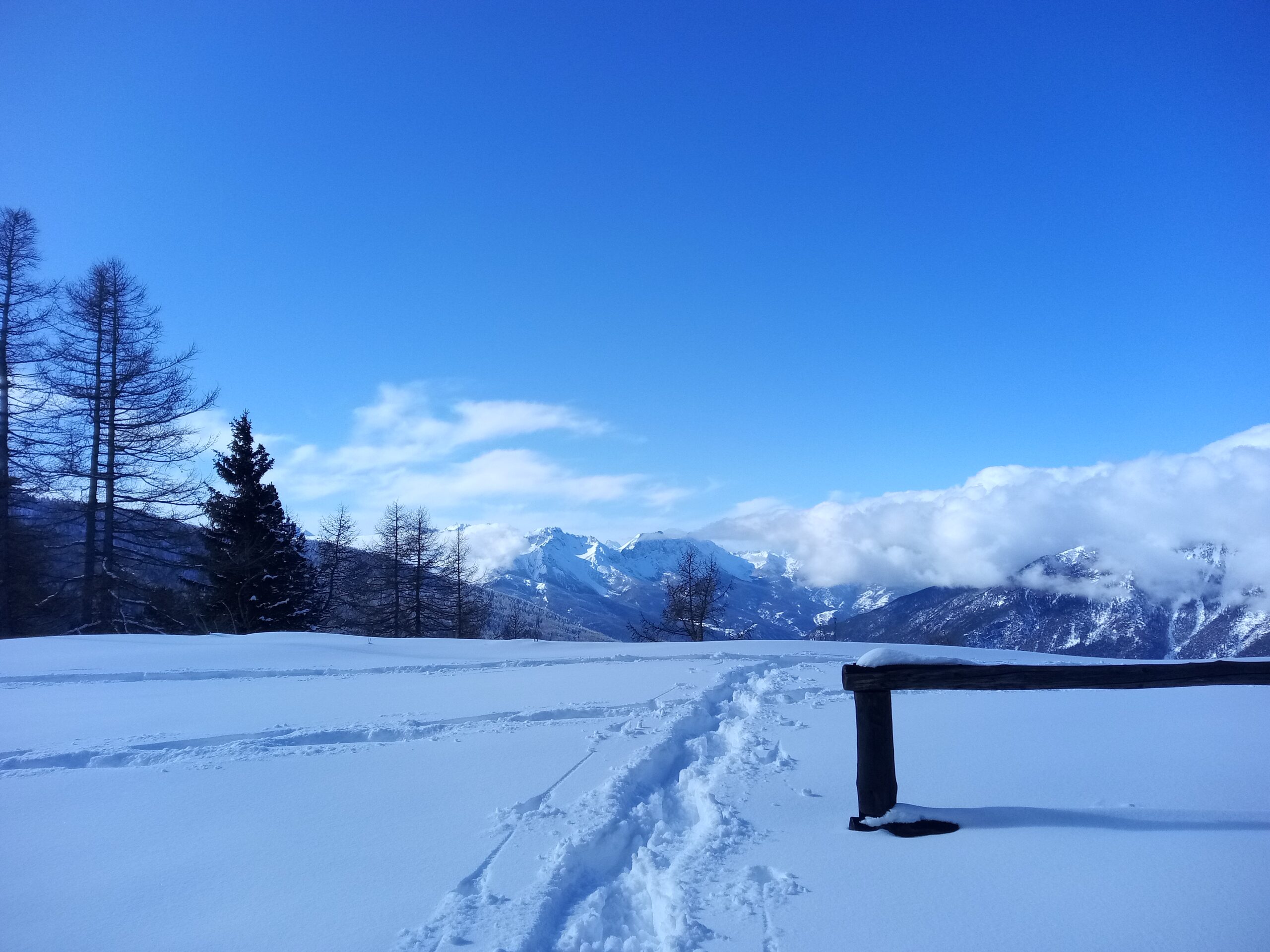
Avvicinamento
.
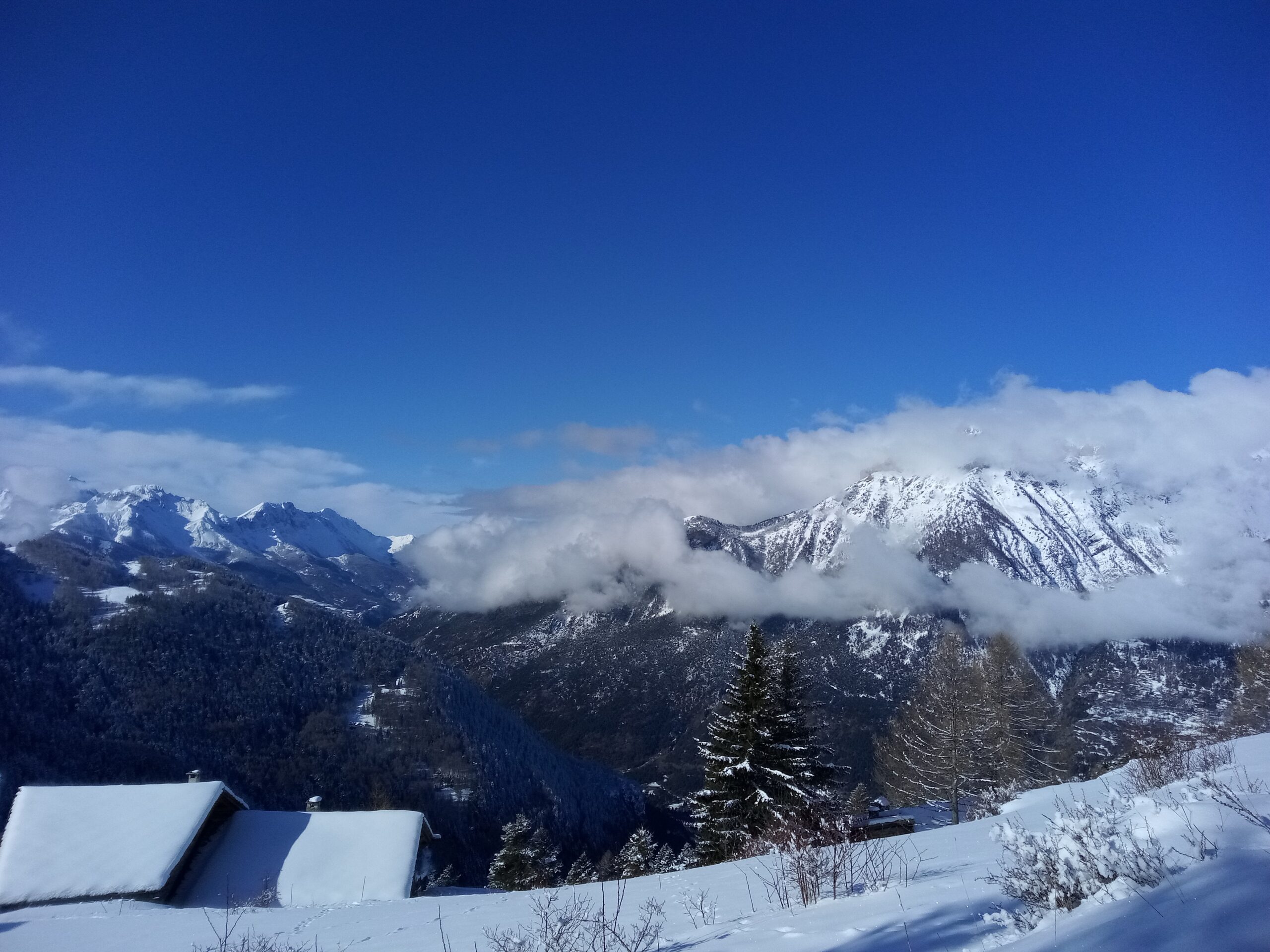
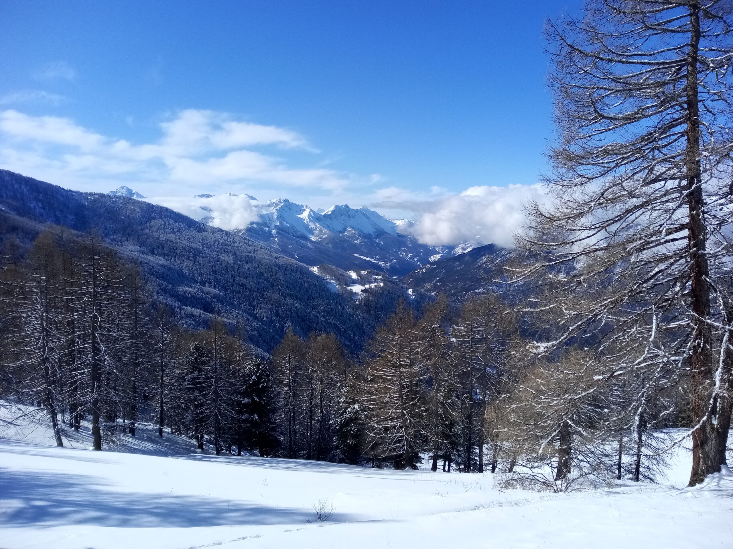
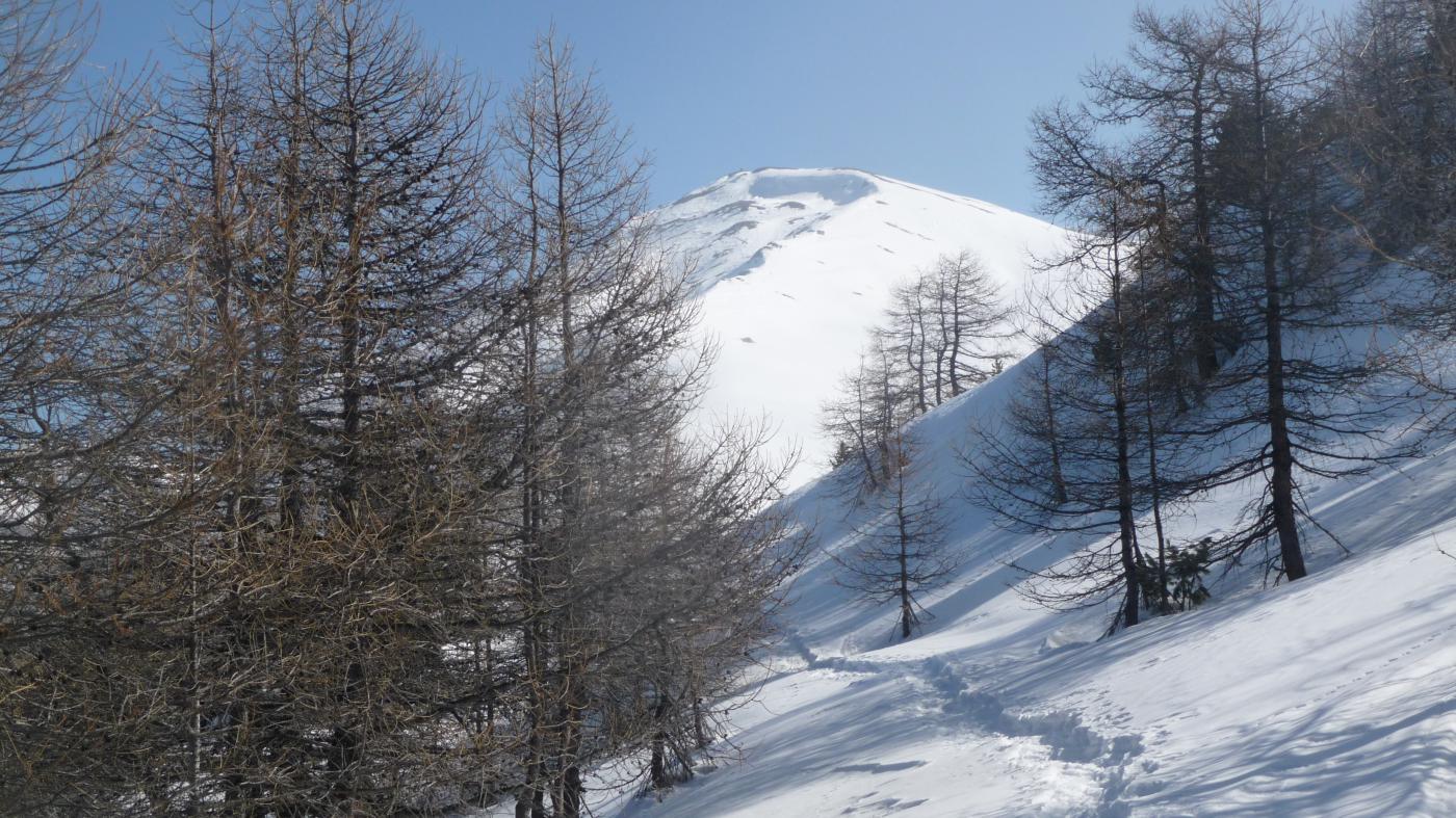
Descrizione
Si abbandona la statale svoltando verso il fondovalle, verso la Casa del Parco. Superato il ponte sulla ferrovia si svolta a dx e si parcheggia subido dopo presso l’area giochi/campo sportivo.
Ora a piedi si tiene la sx e superato il sottopasso dell’autostrada si prosegue dritti su sterrata carrozzabile in estate. Entro breve si giunge all’imbocco del sentiero gta segnato da esaustiva bacheca. Lo si segue fedelmente (cartellini e/o tacche sugli alberi) fino a Montagne Seu dove e’ posto il Rif. Arland che si supera ignorando appena dopo la gta alla nostra sx. Pochi istanti e si sale a sx sulla strada di accesso all’alpeggio Le Selle . qui si prosegue dritti in piano fino ad una radura con dettagliata palina dove si svolta a sx per ritornare a Montagne Seu su Gta.
Nelle vicinanze Mappa
Itinerari
30/01/2025 TO, Salbertrand D+ 1122 m MR Varie
Pramand (Forte) da Salbertrand
1.2Km
09/02/2019 TO, Oulx D+ 300 m MR Nord-Est
Arlaud Daniele (Rifugio) da Monfol
 3.1Km
3.1Km
11/01/2014 TO, Oulx D+ 616 m MR Nord
Selle (Alpe le) da Monfol per il Rifugio Daniele Arlaud
3.1Km
23/02/2019 TO, Oulx D+ 919 m MR Nord-Ovest
Blegier (Monte) da Monfol
 3.1Km
3.1Km
19/02/2023 TO, Oulx D+ 1480 m MR Nord
Blegier (Monte), Punta di Moncrons, Monte Genevris da Monfol, anello
 3.1Km
3.1Km
14/12/2025 TO, Oulx D+ 987 m MR Nord-Est
Genevris (Monte) da Monfol, anello per i colli di Costa Piana e Blegier
 3.1Km
3.1Km
26/03/2011 TO, Exilles D+ 490 m MR Nord
Levi-Molinari (Rifugio) e Grange della Valle da San Colombano
 4.3Km
4.3Km
12/05/2013 TO, Exilles D+ 1480 m BR Sud-Est
Sommeiller (Punta) da Grange della Valle
4.6Km
12/06/2021 TO, Exilles D+ 1600 m BRA, F Nord-Est
Vallonetto (Cima del) e Truc Peyron o Roc Peirus da Grange della Valle
 4.6Km
4.6Km
13/02/2010 TO, Sauze d'Oulx D+ 250 m MR Nord
Montagne Seu (Grange) da Grand Villard, traversata del Gran Bosco di Salbertrand
 5.3Km
5.3Km
Servizi
1.2Km
2.2Km
Arlaud Rifugio
Salbertrand
4.8Km
L’ultima stisa Ristorante
Exilles
4.8Km
La Quadriglia Ristorante
Exilles
4.9Km
Levi Molinari Rifugio
Exilles
5.1Km
Touplan Ristorante
Exilles
5.3Km
Casa Assietta Rifugio
Pragelato
6.3Km
orto del frate Ristorante
Sauze d'Oulx
6.3Km
paddy mc ginty Ristorante
Sauze d'Oulx
6.6Km