2.4Km
2.4Km
Note
 4.3Km
4.3Km
4.3Km
4.3Km
4.3Km
4.3Km
4.3Km
4.3Km
5.3Km
5.3Km
4.3Km
4.3Km
4.3Km
4.3Km
4.3Km
4.3Km
4.3Km
4.3Km
5.3Km
5.3Km
2.4Km
2.8Km
2.8Km
2.8Km
5.8Km
6Km
6.1Km
6.1Km
7.4Km
8.5Km
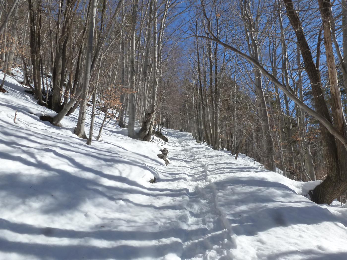
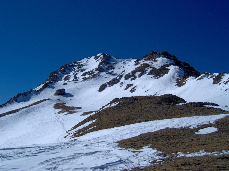
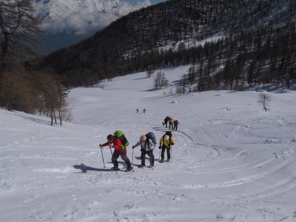
La gita è corta ma molto panoramica. Data la quota relativamente bassa e svolgendosi interamente in boschi di faggi e betulle è preferibile effettuarla in stagioni con innevamento abbondante.
Avvicinamento
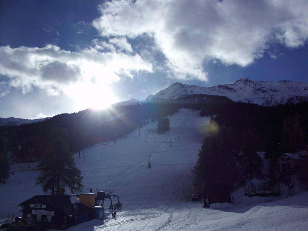
da Susa si segue la SS.25 del Moncenisio per alcuni km, si supera Giaglione e poco dopo sulla sinistra si incontra un bivio con indicazione Val Clarea, un paio di km e si arriva al punto di partenza.
Descrizione
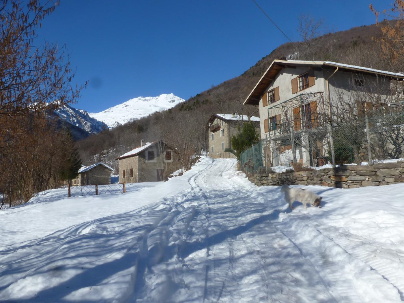
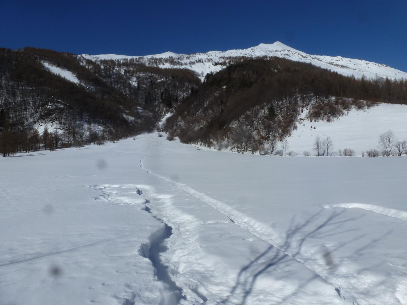
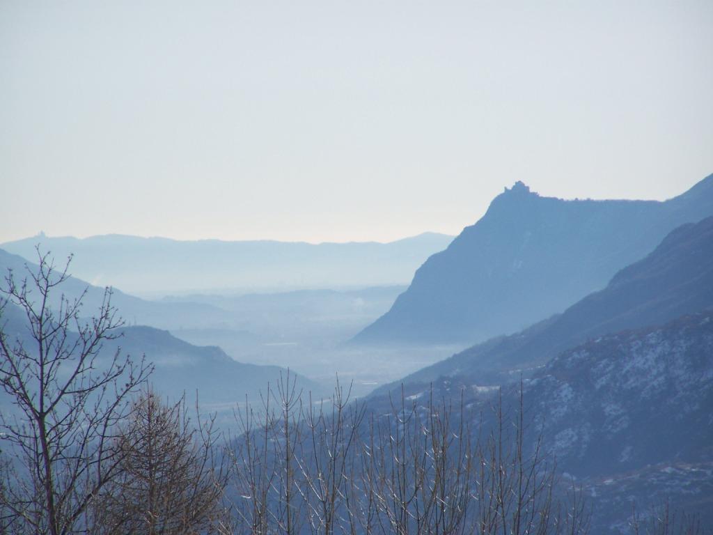
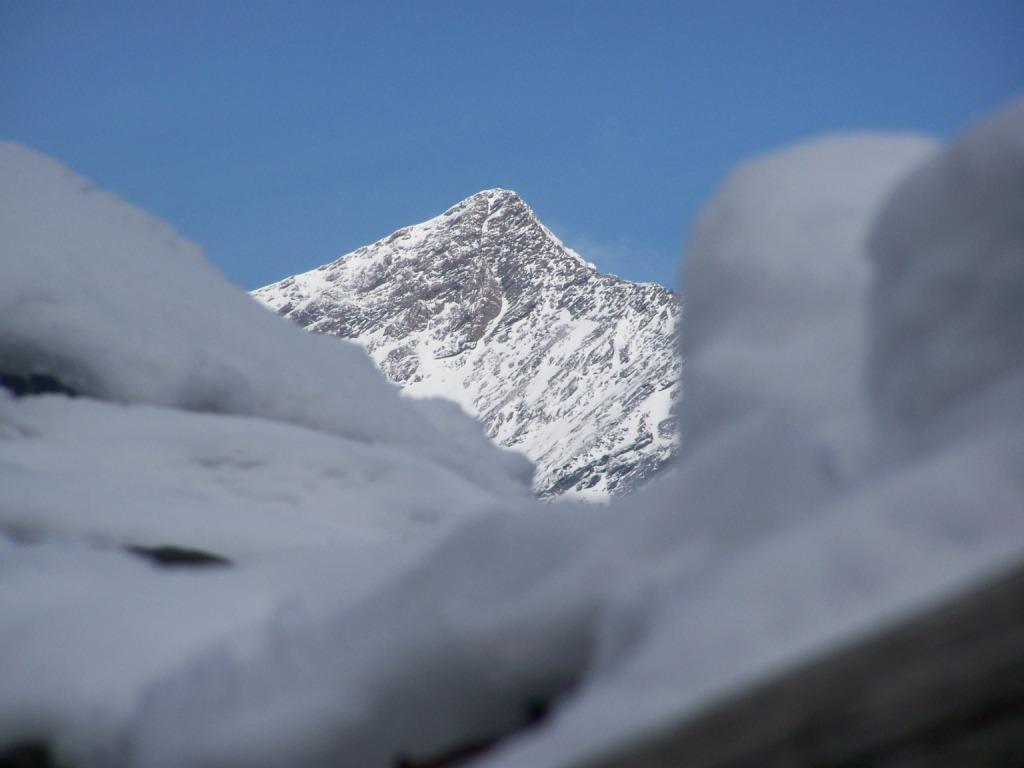
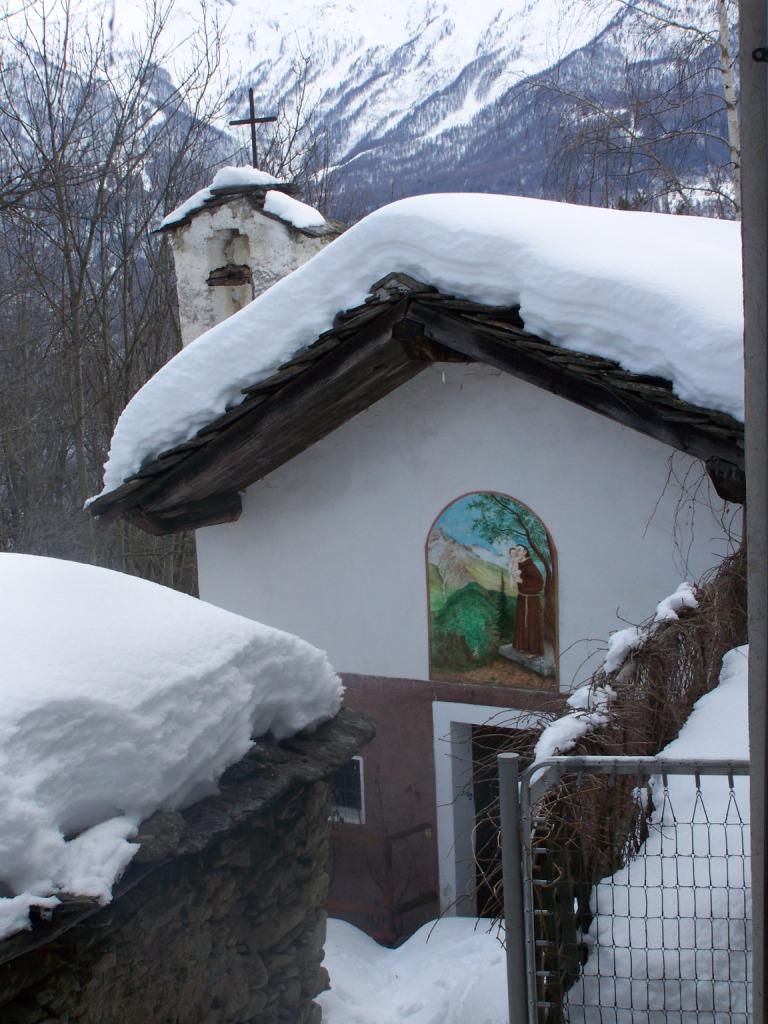
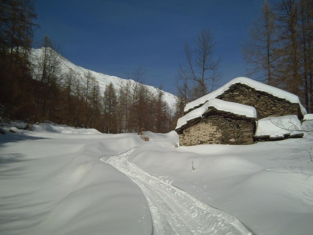
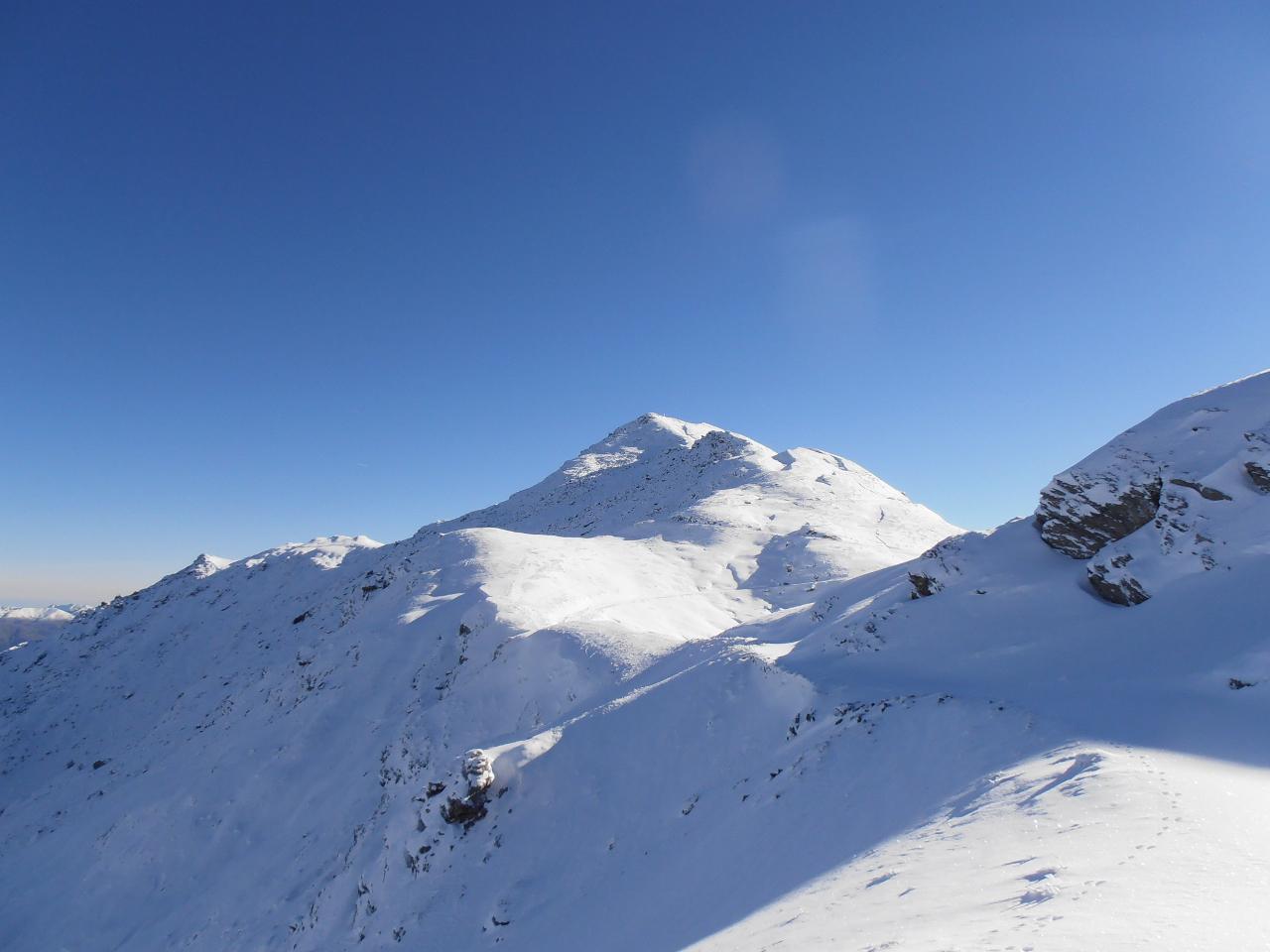
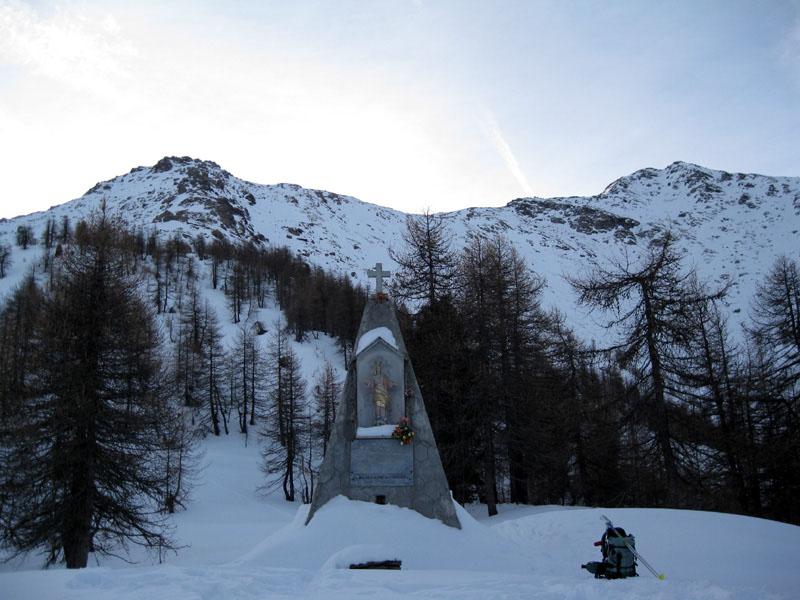
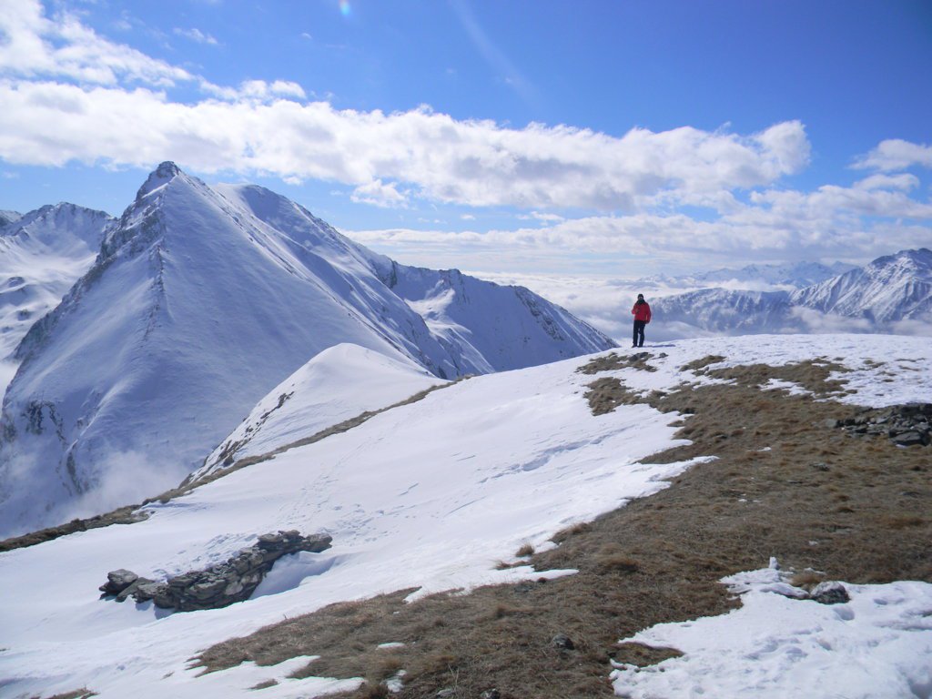
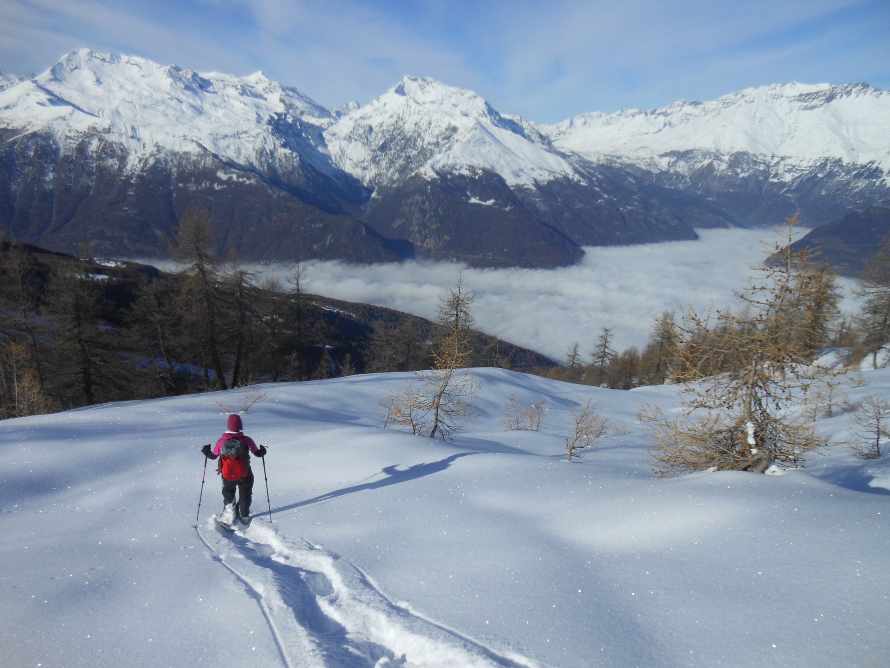
Seguire la strada che da Pian de Ruine (dove si posteggia l’auto e sino a dove è generalmente pulita la strada)sale verso Santa Chiara. Nella prima parte il percorso si affaccia sulla valle di Susa, per poi proseguire con rapide svolte sul versante della Val Cenischia fino alla cappella della Madonna della neve del Trucco (m.1488). Di qui a pochi metri di dislivello si raggiunge il bel pianoro di Pra Piano (m.1495) con splendida vista su Chaberton, Niblè e i Denti d’Ambin. Alle spalle il Rocciamelone e tutta la bassa Valle di Susa fino alla Sacra di San Michele. La strada prosegue ma se ne sconsiglia il proseguimento se non in stagione e con neve assestata, per le valanghe che possono scendere dai ripidi pendii sovrastanti. Discesa per l’itinerario di salita.
- Cartografia:
- Fraternali 1:25000 n.3 Val di Susa Val Cenischia Rocciamelone Val Chisone
- Bibliografia:
- Fondo escursionismo senza confini di R. Carnisio
Nelle vicinanze Mappa
Itinerari
08/03/2015 TO, Chiomonte D+ 1389 m BR Nord-Ovest
Ciantiplagna (Cima) da Frais per il Colle delle Vallette
 4.3Km
4.3Km
28/03/2026 TO, Chiomonte D+ 1160 m BR Nord
Vallette (Cima delle) da Frais
 4.3Km
4.3Km
02/11/2012 TO, Chiomonte D+ 1200 m BR Nord-Ovest
Mezzodì (Punta del) da Frais per la cresta NO
 4.3Km
4.3Km
04/03/2023 TO, Chiomonte D+ 1450 m BR Nord
Vallette (Cima delle) e Gran Pelà da Frais, anello per il Col Creux e Gran Serin
 4.3Km
4.3Km
07/03/2015 TO, Gravere D+ 471 m MR Nord
Arguel (Alpe) da Frais
 4.3Km
4.3Km
05/03/2025 TO, Chiomonte D+ 1150 m MR Nord-Ovest
Gran Serin (Punta del) da Frais
 4.3Km
4.3Km
03/04/2013 TO, Chiomonte D+ 650 m MR Nord
Naia (Cresta di) quota 2140 m da Frais
 4.3Km
4.3Km
22/01/2026 TO, Chiomonte D+ 726 m MR Nord-Ovest
Vaccare (Trucco delle) e Pilone Madonna della Neve da Frais
 4.3Km
4.3Km
19/12/2021 TO, Gravere D+ 1240 m MR Nord
Pintas (Monte) da Fontana della Batteria
 5.3Km
5.3Km
12/02/2024 TO, Gravere D+ 1051 m MR Nord
Prato di Fiera (Punta) dalla Fontana della Batteria
 5.3Km
5.3Km
Servizi
2.4Km
2.8Km
Da Candida Ristorante
Venaus
2.8Km
Jamais sans tois Ristorante
Chiomonte
2.8Km
Ramats Ristorante
Chiomonte
5.8Km
1880 Ristorante
Venaus
6Km
C’era una volta Ristorante
Novalesa
6.1Km
La posta Ristorante
Novalesa
6.1Km
Delle Alpi Ristorante
Novalesa
7.4Km
Bellavista Rifugio
Meana di Susa
8.5Km