3.5Km
3.5Km
Note
 50m
3.7Km
3.7Km
4Km
4.1Km
5.1Km
5.6Km
5.6Km
5.7Km
50m
3.7Km
3.7Km
4Km
4.1Km
5.1Km
5.6Km
5.6Km
5.7Km
3.5Km
4.3Km
4.9Km
4.9Km
5Km
5Km
6.4Km
6.4Km
6.5Km
6.6Km
Bel giro ad anello che per crinale sale alla Piovosa, scende al Lago Tempesta, da li alla Rocca della Comunetta, discesa verso le Grange Tibert, risalita sulla dorsale che dalla Rocca della Comunetta va al Monte Cialmé poi per crinale si scende a prendere il sentiero che porta alle Grange Chiot e da li con la strada al Colle Intersile Sud concludendo l'anello.
Avvicinamento
In Val Maira svoltare a Ponte Marmora per Marmora. Proseguire per Parrocchia e Colle Intersile Sud dove si posteggia. Lo sterrato è bello e fattibile con auto normali.
Descrizione
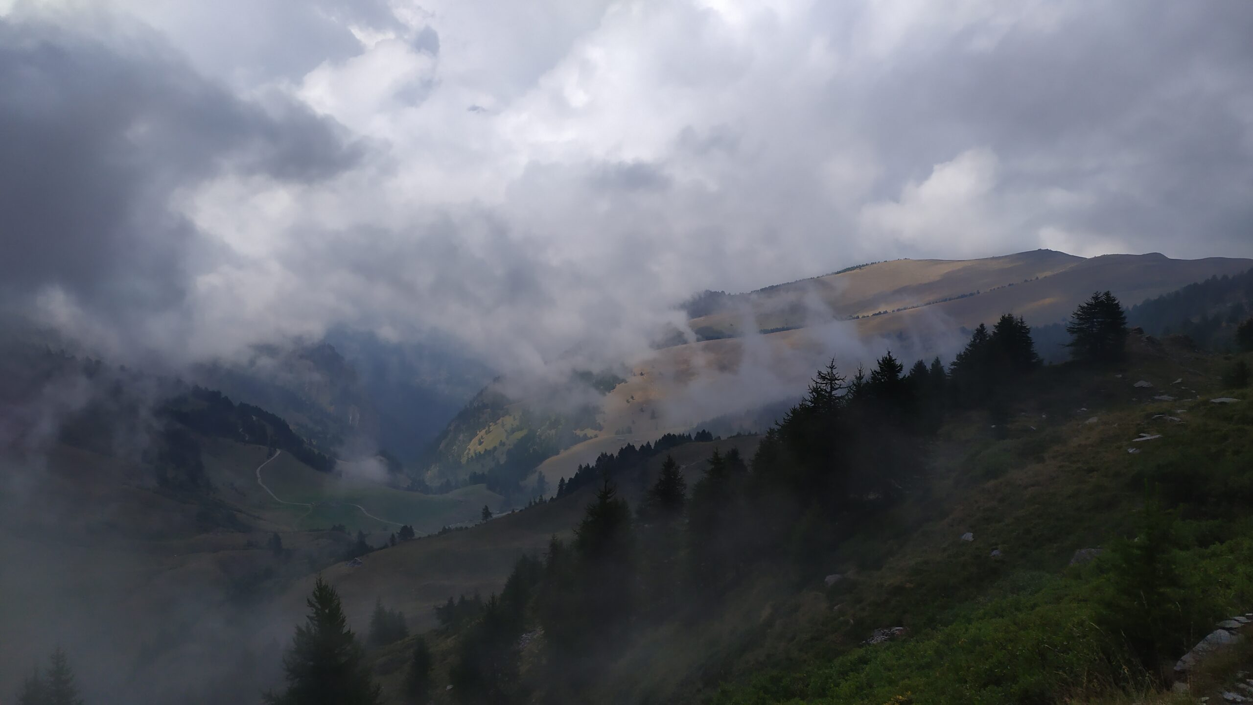
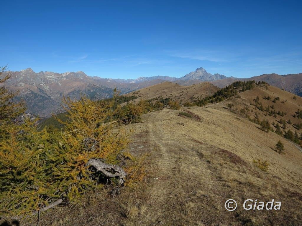
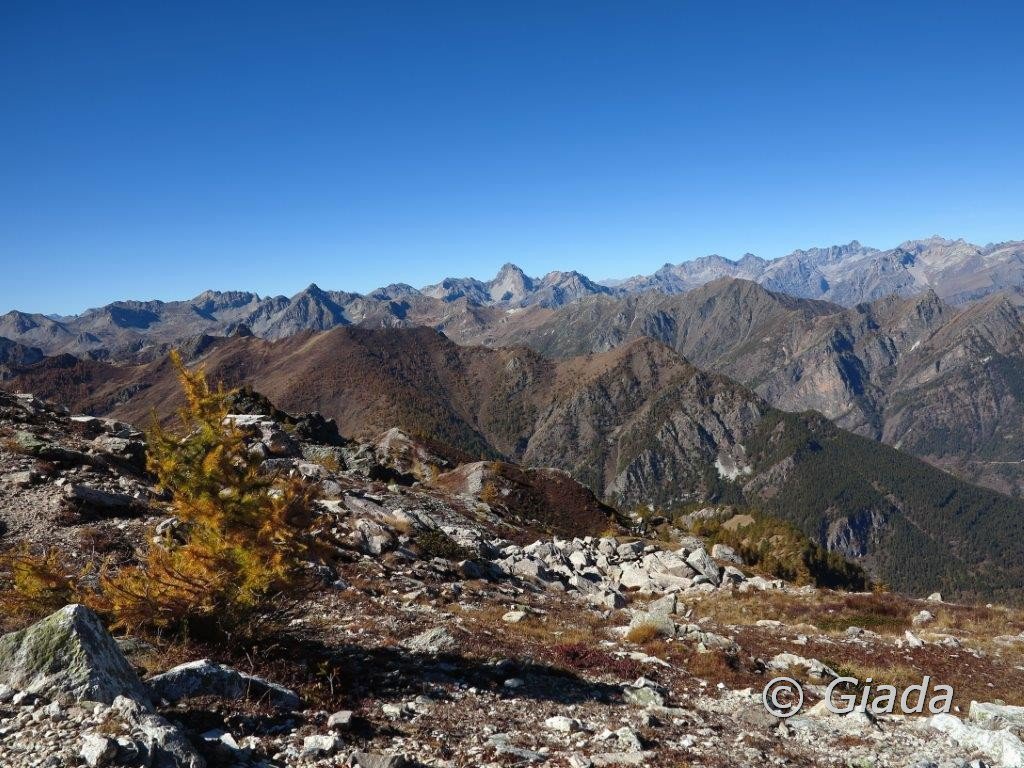
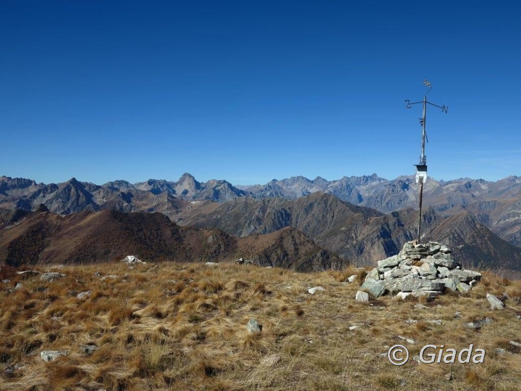
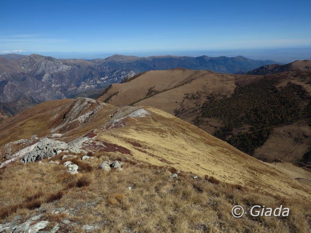
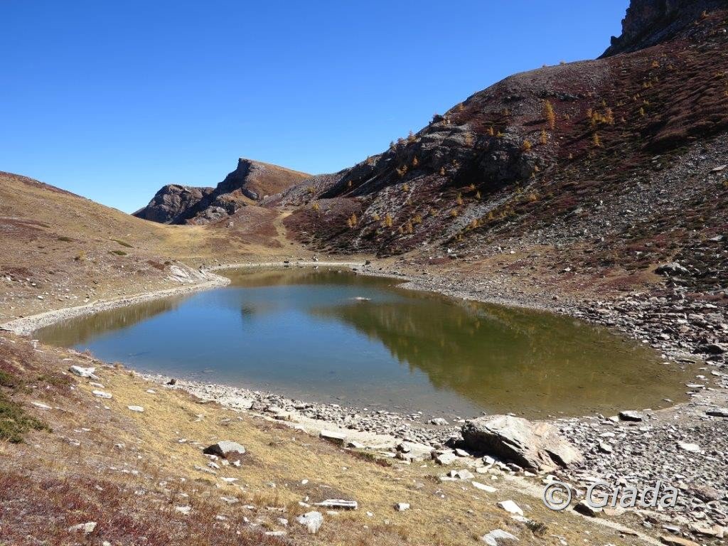
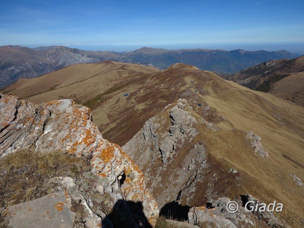
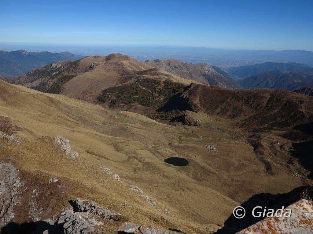
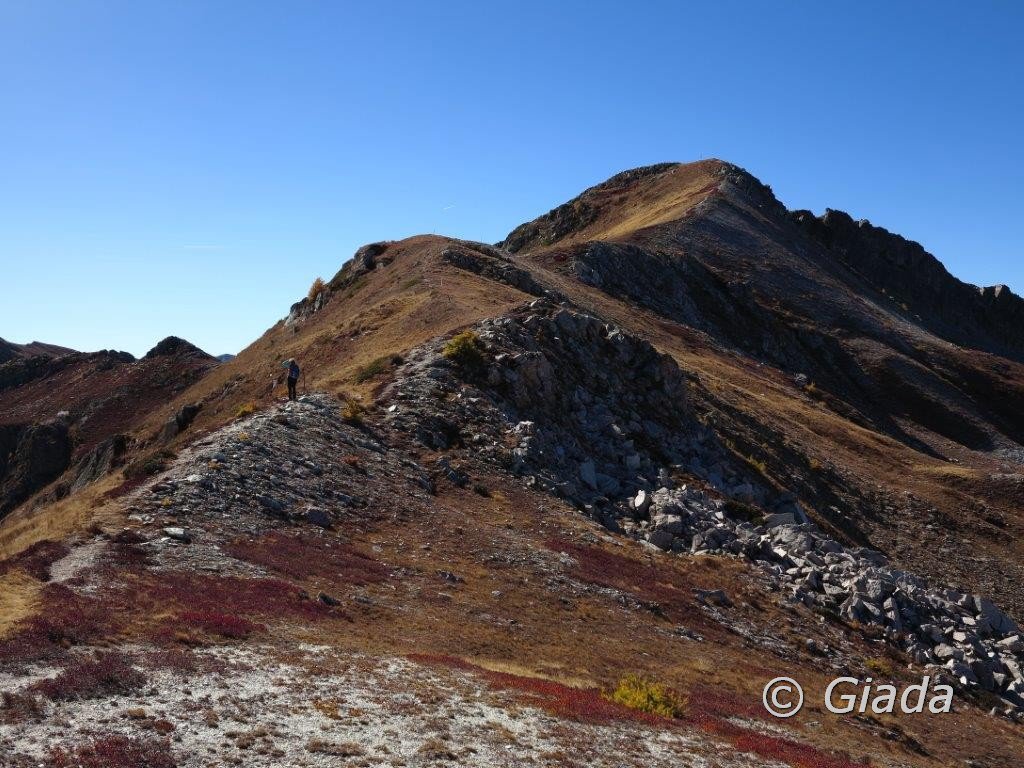
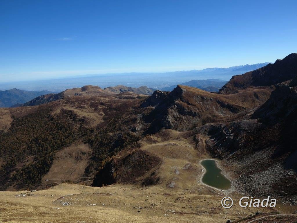
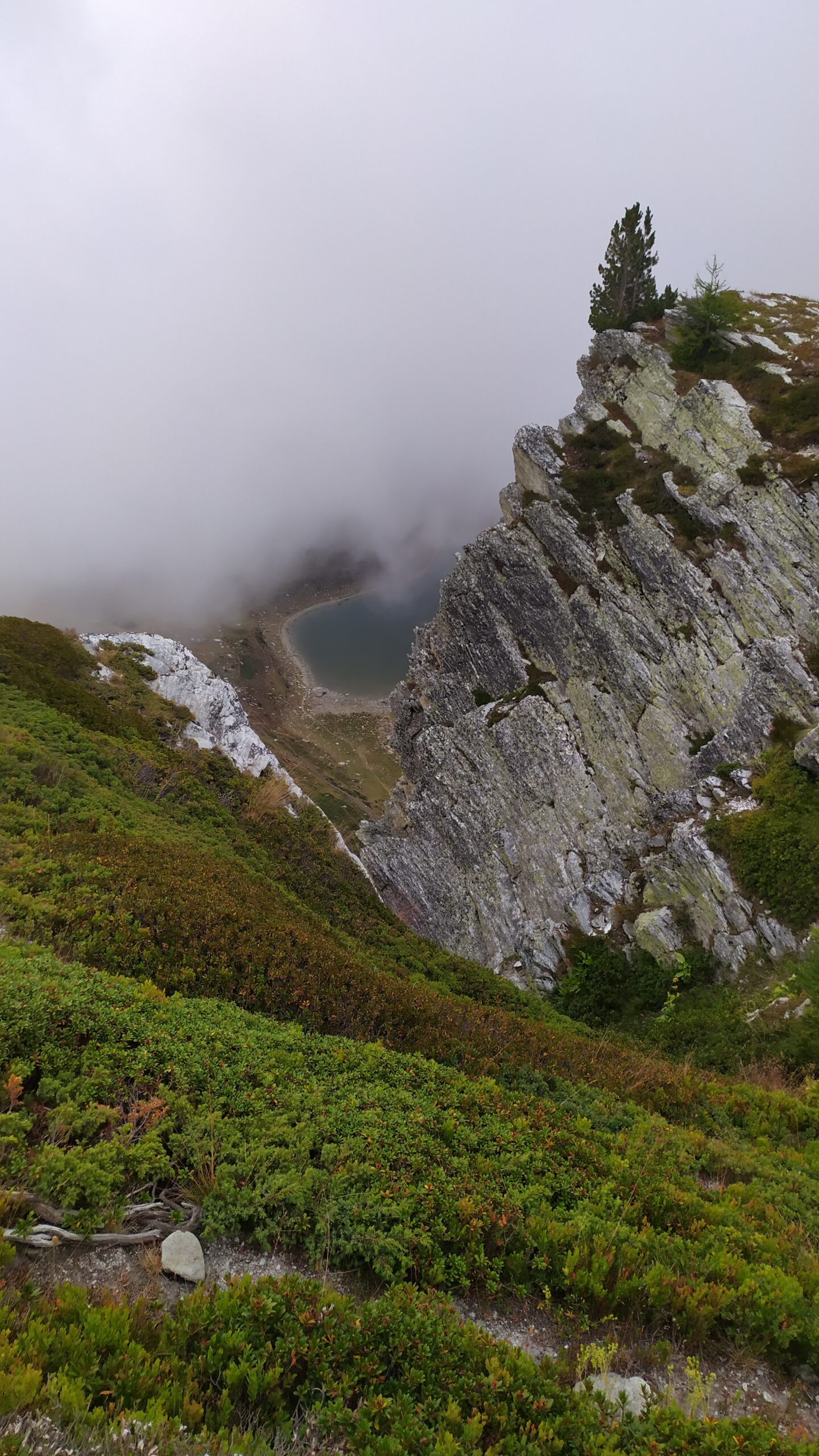
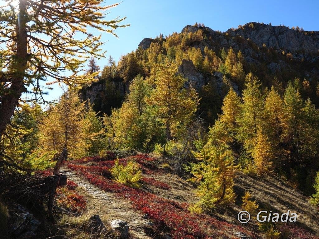
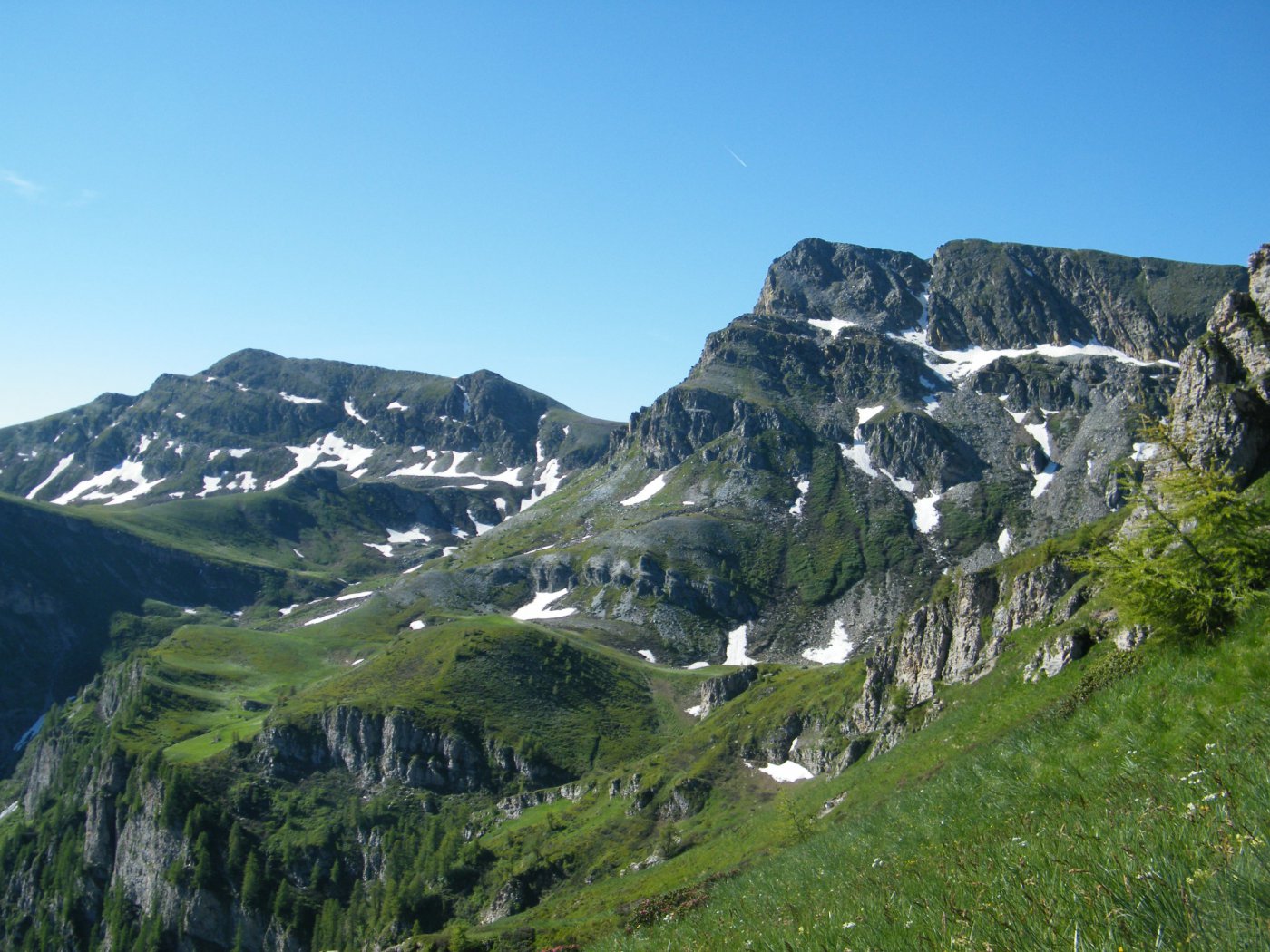
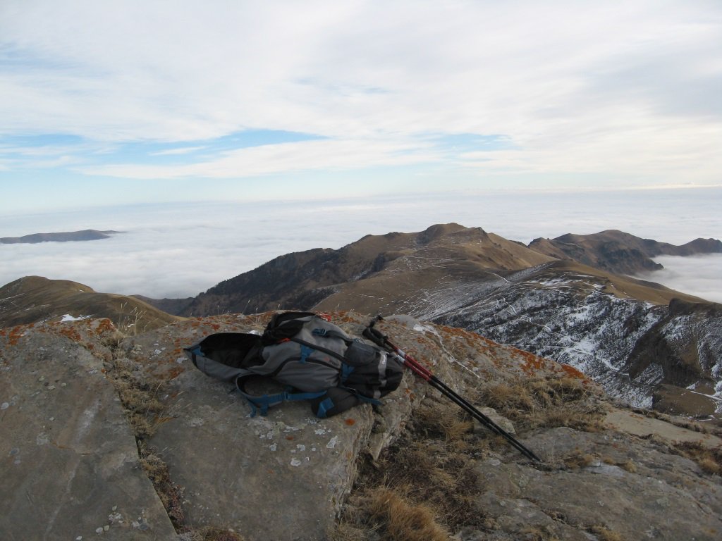
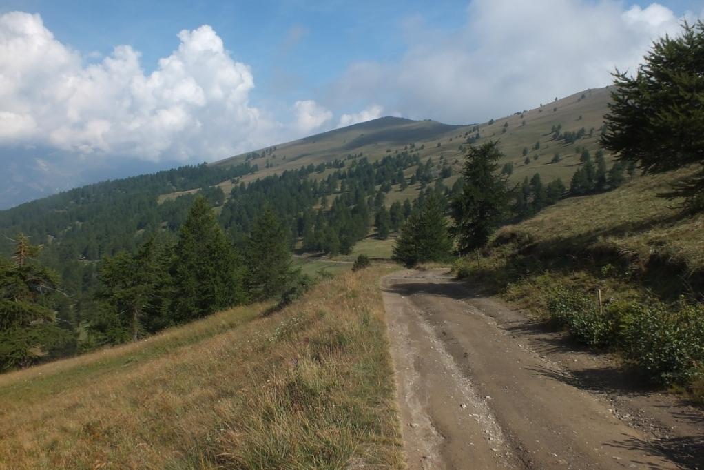
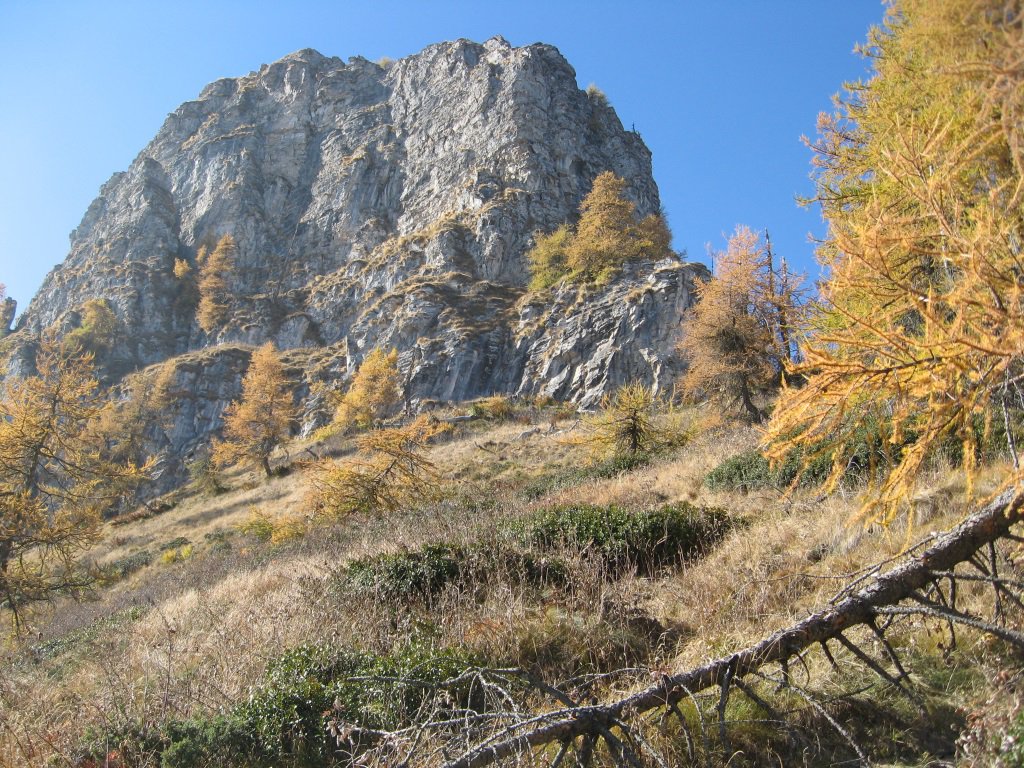
Dal Colle Intersile Sud si sale sulla costa erbosa in direzione Sud verso Punta La Piovosa, una traccia di sentiero si inoltra tra i larici fino ad un tratto quasi pianeggiante per poi inerpicarsi su pendii piu’ ripidi e scoperti fino a raggiungere l’ampia cresta sommitale della Punta La Piovosa m.2602 (croce bizzarra). Seguendo il pendio in direzione Est si scende alla meglio fino alla conca sottostante che ospita il Lago Tempesta m.2347 a nord della omonima cima. Dal lago si va in direzione est col sentiero fino ad andare a immettersi, cercando di perder meno quota possibile, sul sentiero segnato in bianco e rosso che dalle Grange Chiot va al Colle Intersile passando dal Badale Intersile. Poco dopo aver superato la Rocca della Comunetta si prende il sentiero a sinistra che torna indietro e va verso la Rocca, lo si lascia sul colle per salire a sinistra alla meglio il pendio erboso che porta sulla Rocca della Comunetta m.2487. Dalla cima si torna indietro a prendere il sentiero e lo si segue verso le Grange Tibert, si scende verso il pianoro delle Grange cercando una traccia senza scendere troppo, si traversa verso sinistra e si sale lungo il versante est della Rocca della Comunetta tra traccia e erba alta fino ad andare sulla dorsale che dalla Rocca va al Monte Cialmé. Tra vari sali e scendi sul crinale si tocca la quota m.2385, si scende il castello roccioso aggirando le asperità e si prosegue verso nord sempre sul crinale fino al Monte Cialmé m.2308 sfruttando una traccia. Dal Cialmé si scende verso ovest lungo la dorsale fino ad andare a prendere il sentiero/traccia delle mucche che ci riporta alle Grange Chiot m.1980. Da li con la sterrata si ritorna al Colle Intersile Sud all’auto concludendo l’anello.
- Cartografia:
- Chaminar en Auta Val Maira
Nelle vicinanze Mappa
Itinerari
21/06/2015 CN, Marmora D+ 950 m E Varie
Piovosa (Punta la), Punta Tempesta, Monte Tibert dal Colle Intersile, anello
 50m
50m
10/09/2017 CN, Marmora D+ 960 m E Varie
Comunetta (Rocca della) da Parrocchia di Marmora
 3.7Km
3.7Km
18/05/2022 CN, Marmora D+ 700 m E Varie
Chiggia (Costa) e Monte Festa da Parrocchia di Marmora, anello per la Cresta di Pradugo
 3.7Km
3.7Km
08/03/2020 CN, Celle di Macra D+ 600 m E Nord
Sentiero dei Giganti da Combe
 4Km
4Km
01/11/2025 CN, Celle di Macra D+ 550 m E Varie
Palent, Curbia, Aramola (Borgate) da Garini per il Sentiero dei Fotografi
 4.1Km
4.1Km
18/10/2017 CN, Celle di Macra D+ 1000 m EE Nord
Cialmè (Monte) da Ugo per la Rocca del Passo
 5.1Km
5.1Km
06/07/2025 CN, Castelmagno D+ 1100 m E Tutte
Tempesta, Tibert, Piovosa, Sibolet (Cime) dal Gias Fauniera, anello di cresta
 5.6Km
5.6Km
18/06/2025 CN, Castelmagno D+ 500 m EE Varie
Sibolet (Punta) e Cima Reina dal Gias Fauniera
5.6Km
24/01/2025 CN, Macra D+ 700 m E Varie
Vierme (Monte) da Rio
 5.6Km
5.6Km
10/08/2025 CN, Castelmagno D+ 314 m E Sud
Tempesta (Punta) dal Colle d’Esischie
 5.7Km
5.7Km
Servizi
3.5Km
4.3Km
Lu Pittavin Rifugio
Marmora
4.9Km
Ceaglio Rifugio
Marmora
4.9Km
Posto tappa gta Ceaglio Rifugio
Marmora
5Km
Croce bianca Ristorante
Marmora
5Km
Lou Pitavin Ristorante
Marmora
6.4Km
La Font Albergo
Castelmagno
6.4Km
Locanda Rifugio
Celle di Macra
6.5Km
La Freidio B&B
Marmora
6.6Km