3.7Km
3.7Km
Note
 50m
2Km
2Km
2Km
2Km
3.4Km
3.4Km
3.4Km
3.6Km
3.6Km
50m
2Km
2Km
2Km
2Km
3.4Km
3.4Km
3.4Km
3.6Km
3.6Km
3.7Km
3.8Km
4.3Km
4.3Km
4.5Km
7Km
7.1Km
7.2Km
7.2Km
7.6Km
Gita molto impegnativa per la pendenza del percorso oltre Pian Gelassa e per l'alternarsi di spintage pedalata ed infine portage. Solo per motivati !
Volendo abbreviare la salita, è possibile partire più a monte, dal bivio per Pian Gelassa
Descrizione
Volendo abbreviare la salita, è possibile partire più a monte, dal bivio per Pian Gelassa
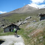
Da Gravere salire verso il Frais seguendo le indicazioni per il Deveis, lungo una strada che sale nel bosco con ampie svolte e pendenza regolare.
Superata la frazione Deveis, posta in una splendida radura, si continua fino ad incrociare la strada del Frais. Si sale lungo la stessa e al bivio per Pian Gelassa si svolta a sinistra e si segue la strada, prima asfaltata e poi sterrata, che con alcuni saliscendi giunge nei pressi della vecchia stazione sciistica abbandonata.
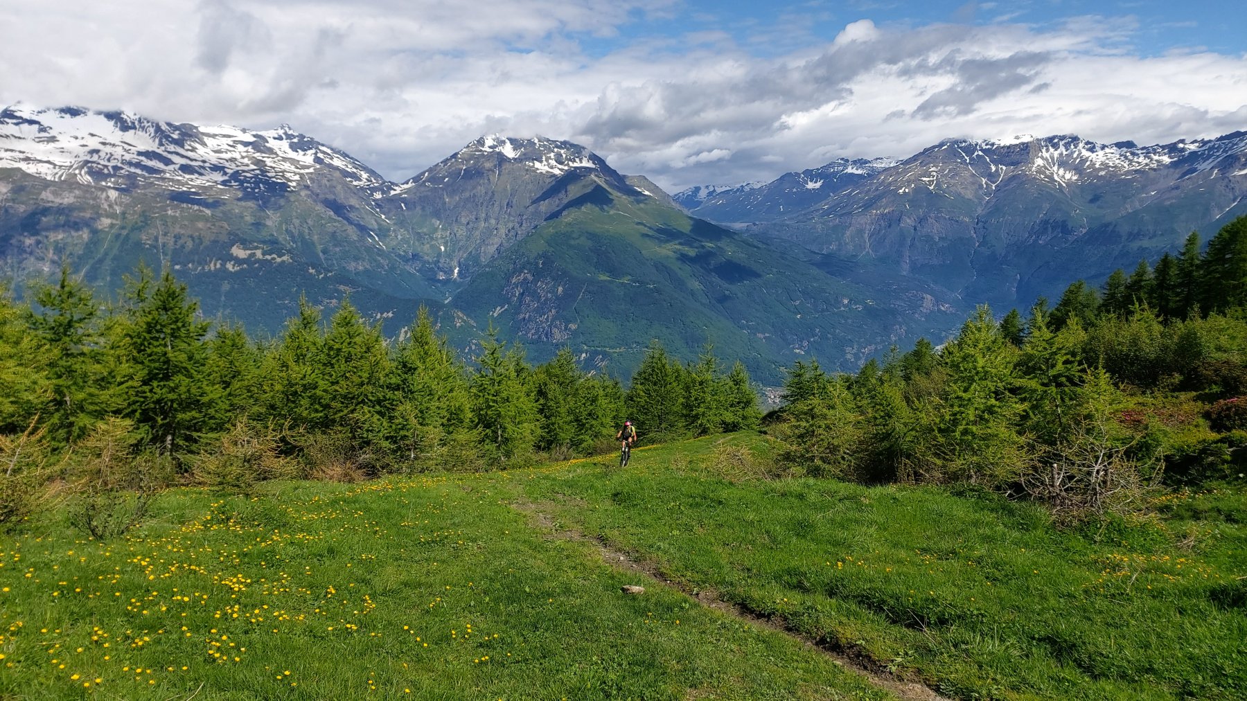
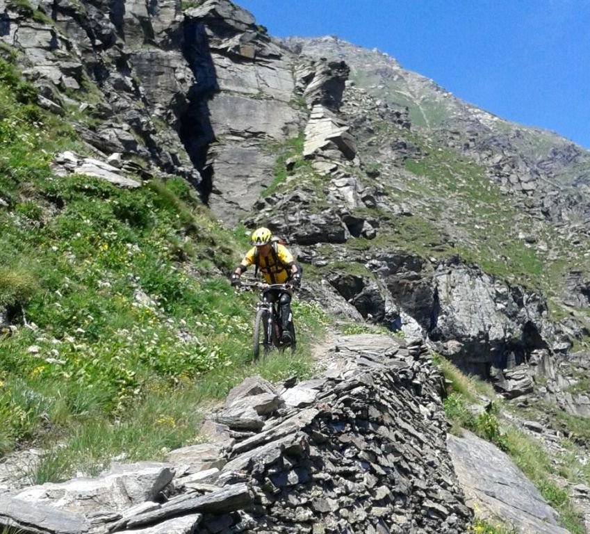
Arrivati a Pian Gelassa si prende la strada dei vecchi impianti da sci da subito più stretta e ripida, ma quasi sempre con un ottimo fondo, fino al limitare del bosco, sempre pedalabile (pendenza massima 22%!) .
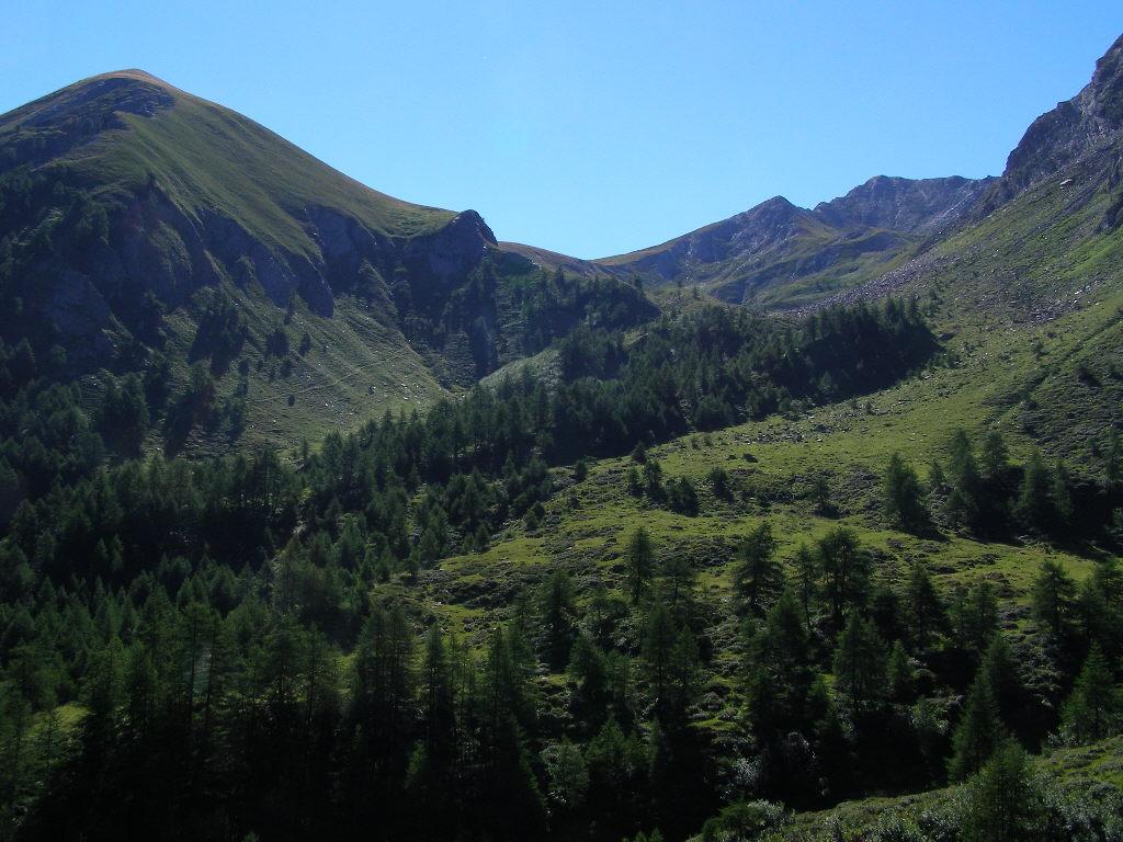
Al limitare del bosco si trova un pianoro e da qui il fondo peggiora decisamente e la pedalabilità si alterna allo spintage fino alla dorsale dove si intercetta il gabbiotto di legno di arrivo dei vecchi impianti.
Dal gabiotto portage fino in punta (grosso ripetitore).
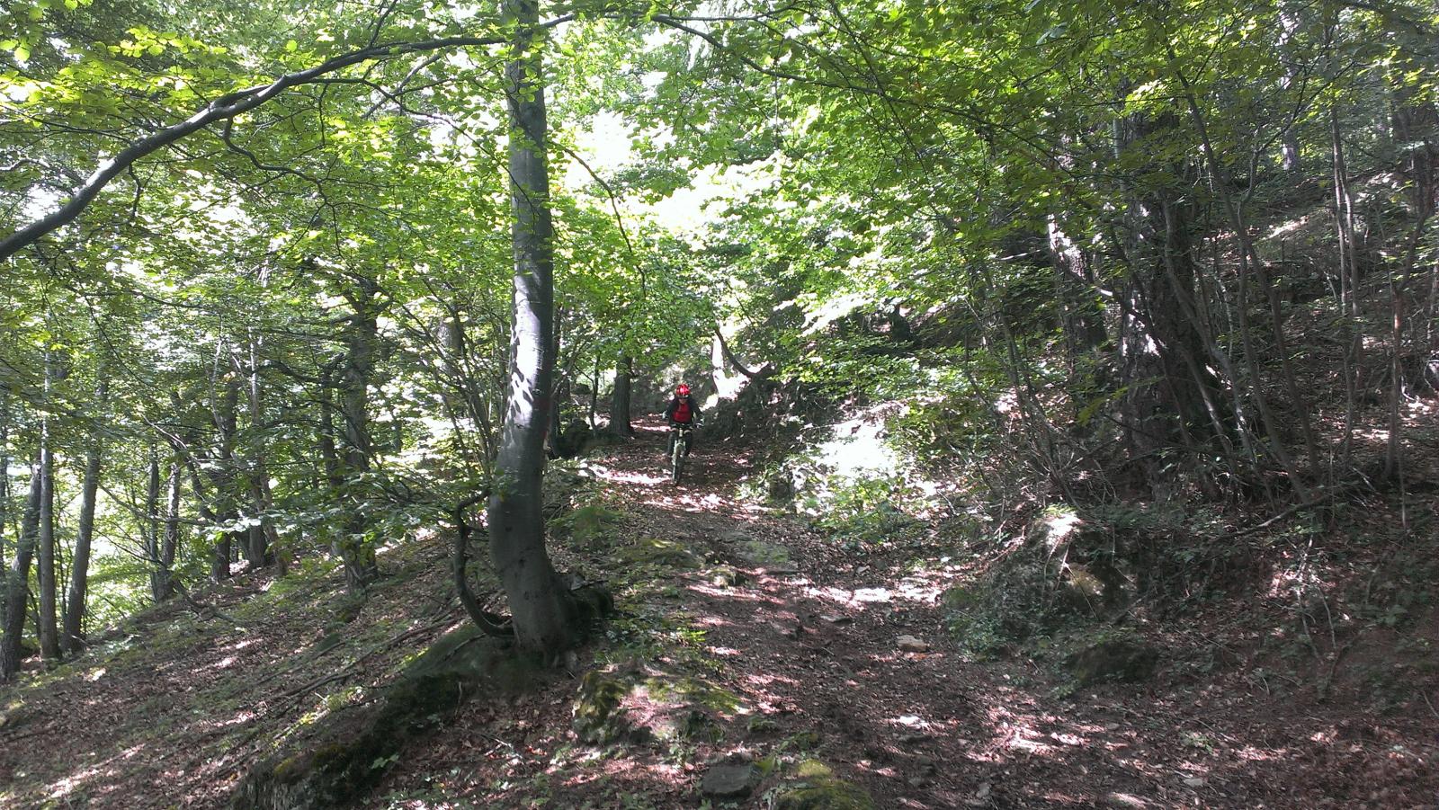
Discesa: sul percorso di salita mai oltre il BC sempre divertente fino al limitare del bosco, poi stradina obbligatoria fino a Pian Gelassa. Da qui si prende un divertente sentierino battuto dalle moto da trial fino a Case Fontanette, si continua passando da Case Eremitani fino ad intercettare la strada di salita ormai quasi al Parcheggio.
- Cartografia:
- Fraternali 1:25.000 n.3 Valle di Susa Val Cenischia Rocciamelone
Nelle vicinanze Mappa
Itinerari
05/08/2023 TO, Gravere D+ 850 m BC, BC+ Nord
Gelassa (Pian) da Gravere, giro per Frais e Madonna della Losa
 50m
50m
30/01/2025 TO, Giaglione D+ 1100 m BC, BC+, S2 Sud-Ovest
Martina (Bergerie) da Giaglione
 2Km
2Km
01/08/2020 TO, Giaglione D+ 2500 m BC+, BC+, S3 Tutte
Clapier (Col) da Giaglione, giro del Monte Giusalet per il Rifugio Avanzà
 2Km
2Km
08/11/2025 TO, Giaglione D+ 1214 m MC, BC+, S1 Sud-Est
Marzo (Grange) da Giaglione, discesa su Bar Cenisio
 2Km
2Km
22/09/2018 TO, Giaglione D+ 1800 m BC+, BC+, S1 Varie
Avanzà (Rifugio) da Giaglione per le Bergerie Martina
 2Km
2Km
09/11/2025 TO, Venaus D+ 1500 m MC, BC, S1 Varie
Marzo (Grange) da Venaus, giro per Santa Chiara, Bar Cenisio e Novalesa
 3.4Km
3.4Km
19/07/2025 TO, Venaus D+ 2250 m OC, OC, S3 Tutte
Clapier (Col) da Venaus, giro per Prapiano, Alpe Tour, Lac Savine, discesa Val Clarea
 3.4Km
3.4Km
11/06/2023 TO, Venaus D+ 802 m MC, BC, S1 Varie
Tiraculo (Borgata) e Canale di Maria Bona da Venaus, giro
 3.4Km
3.4Km
06/05/2023 TO, Susa D+ 1450 m MC, OC, S2 Sud
Tour (Borgata) da Susa, discese varie
 3.6Km
3.6Km
25/08/2024 TO, Susa D+ 2700 m MC, MC, S0 Tutte
Assietta (Colle dell’) la strada dell’Assietta da Susa a Sestriere per il Colle delle Finestre
 3.6Km
3.6Km
Servizi
3.7Km
3.8Km
Da Candida Ristorante
Venaus
4.3Km
Jamais sans tois Ristorante
Chiomonte
4.3Km
Ramats Ristorante
Chiomonte
4.5Km
Bellavista Rifugio
Meana di Susa
7Km
C’era una volta Ristorante
Novalesa
7.1Km
Lago delle Rane Rifugio
Usseaux
7.2Km
La posta Ristorante
Novalesa
7.2Km
Delle Alpi Ristorante
Novalesa
7.6Km