0m
0m

Note
 0m
0m
0m
0m
0m
0m
0m
0m
0m
0m
0m
0m
0m
0m
0m
0m
0m
2.4Km
6.7Km
7.9Km
7.9Km
8.2Km
8.5Km
8.5Km
8.5Km
8.6Km
a fine stagione la strada è aperta fino a S.Anna di Bellino.
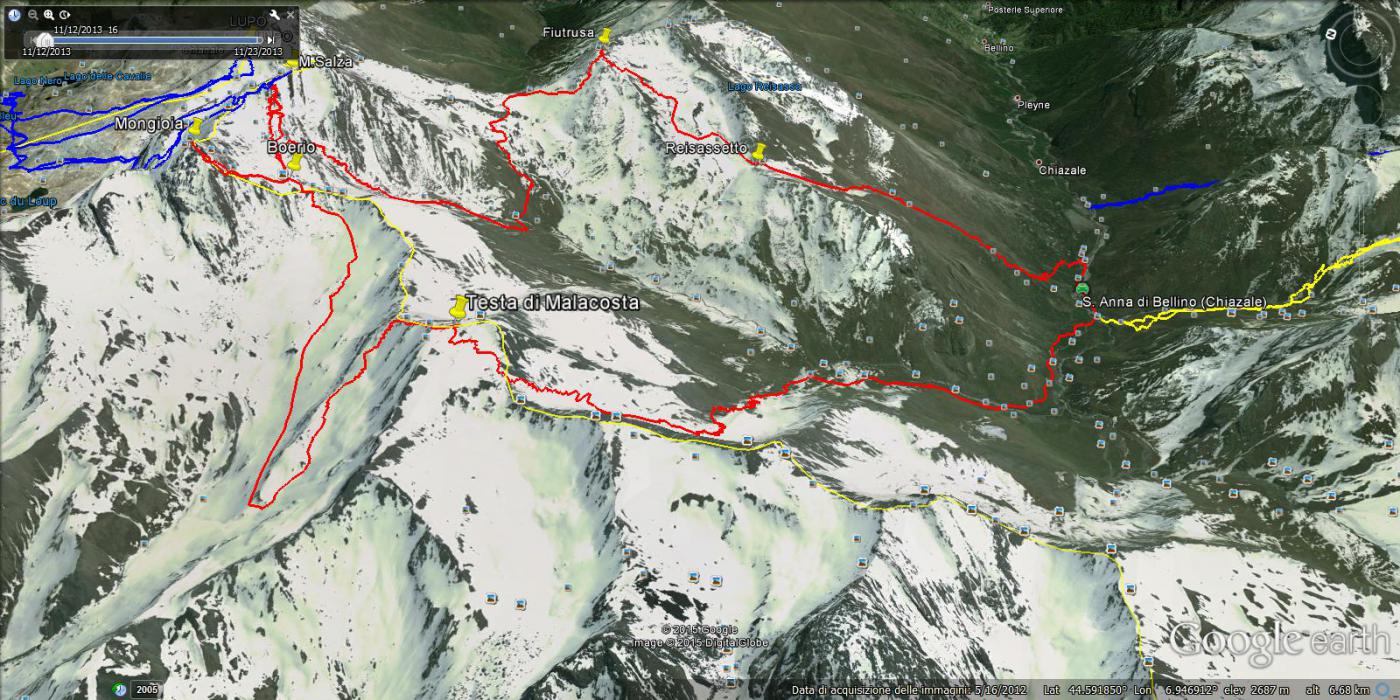
Avvicinamento
-
Descrizione
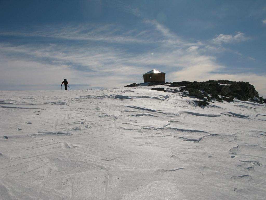
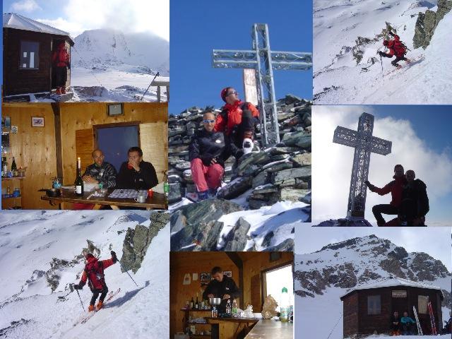
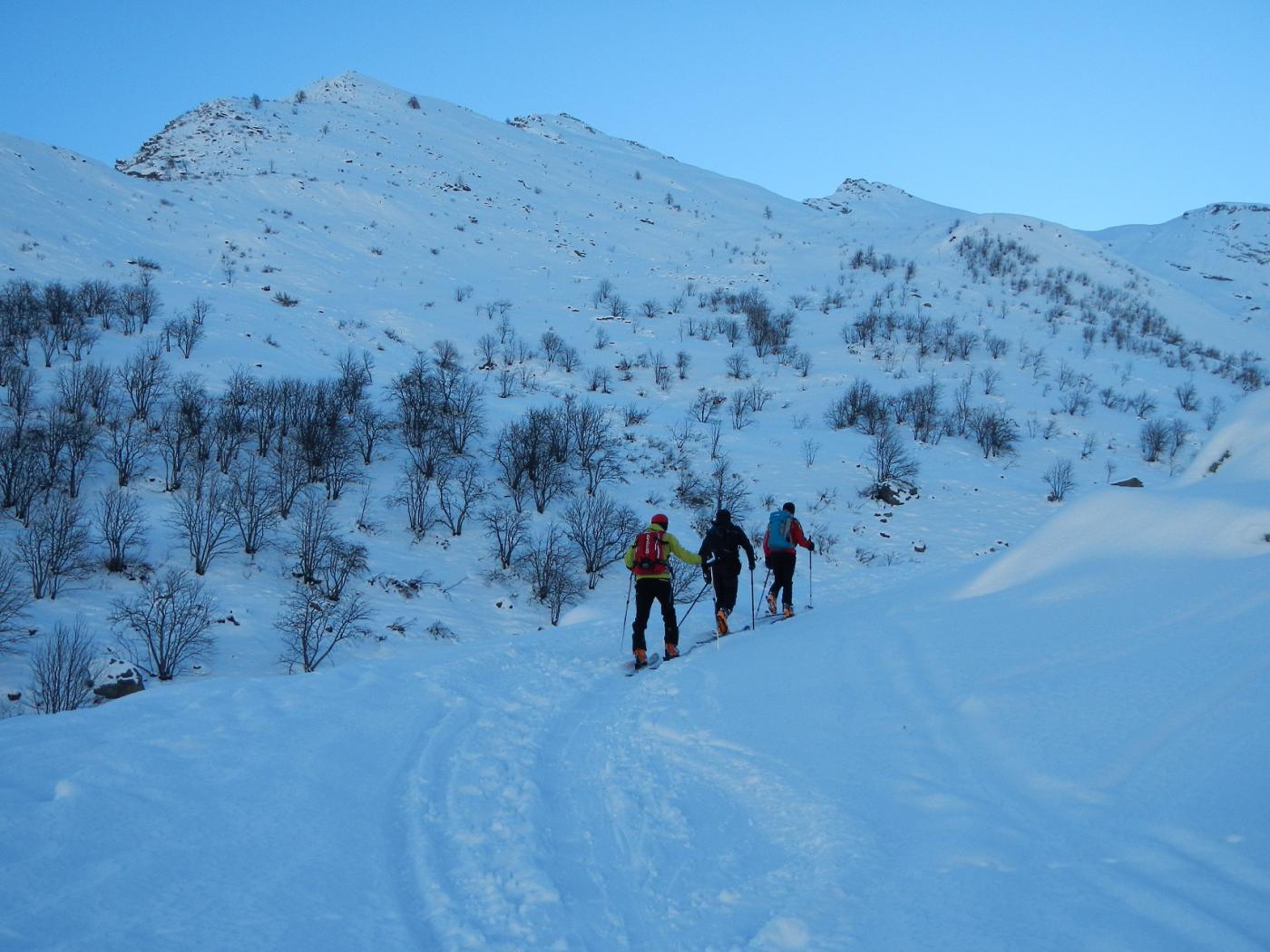
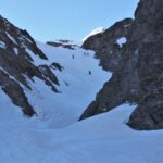
Dal Rifugio Melezè raggiungere il Bivacco Boerio seguendo il vallone di Rui, e quindi un canalone fino al bivacco.
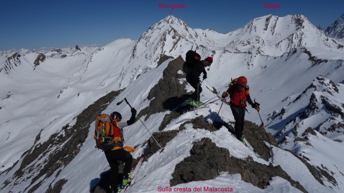
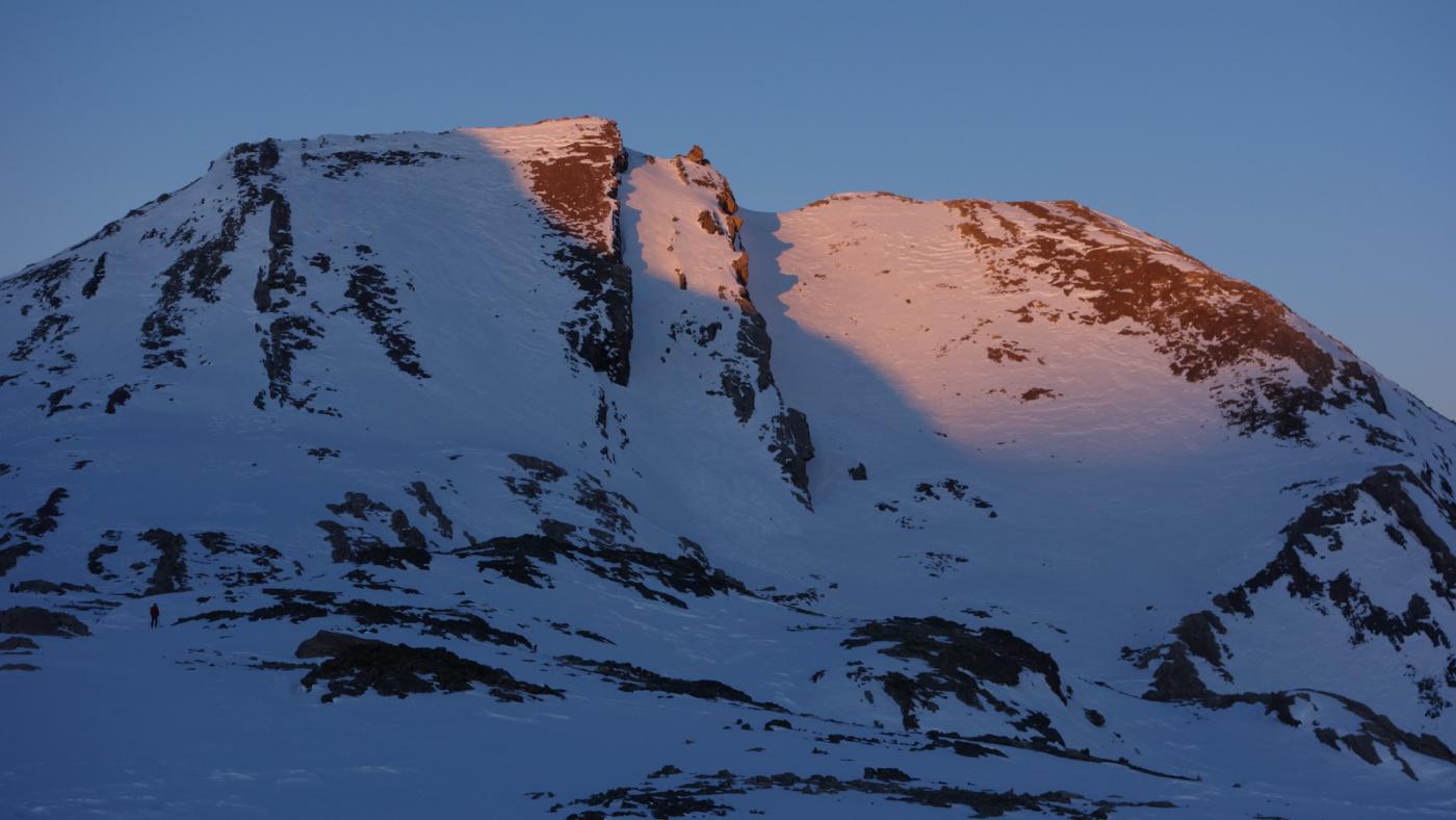
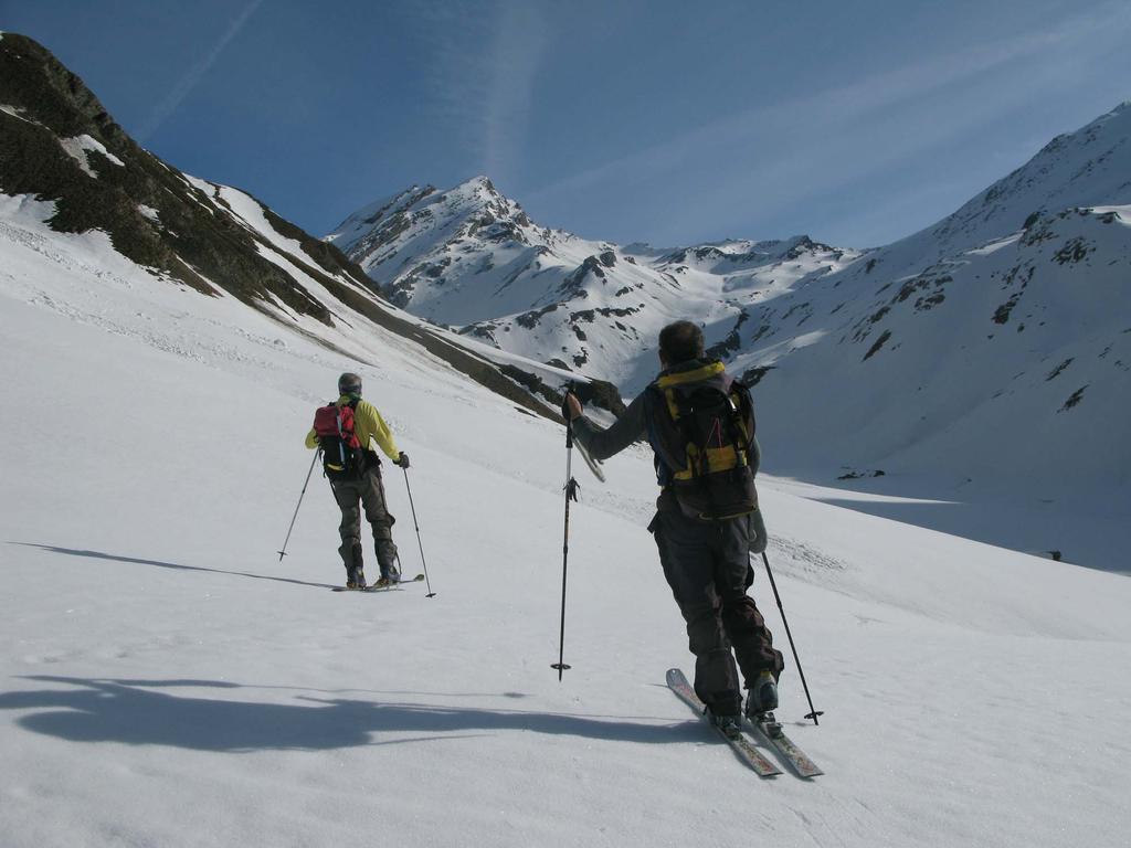
Di qui evidenti le prime due punte: Mongioia e Monte Salza.
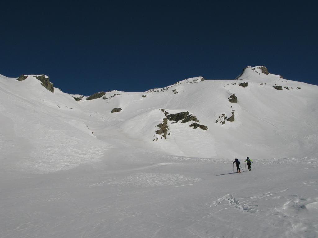
Tornati al Boerio dal Mongioia (discesa delicata!), perdere quota oltre al colle Mongioia nel Vallone de Rubren.
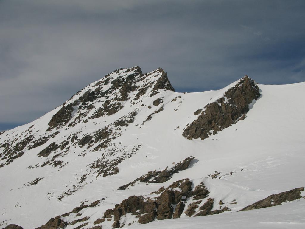
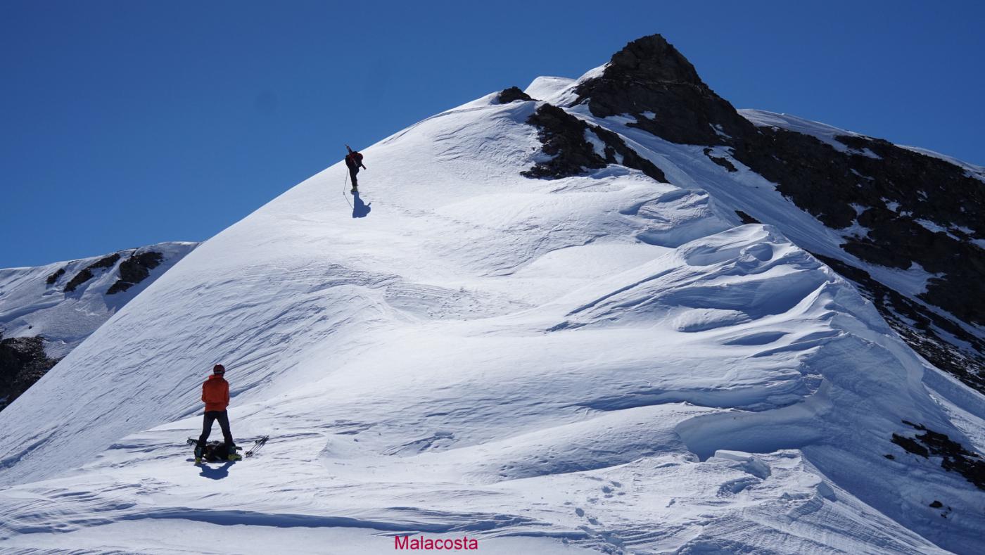
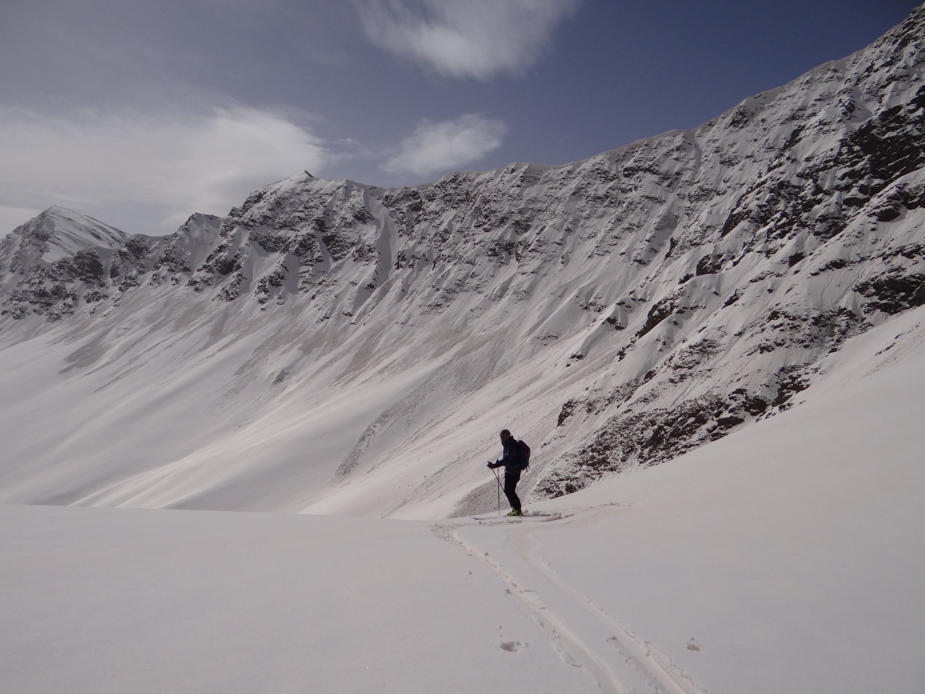
Aggirato un costolone roccioso risalire su facili pendii (nord) fino alla cresta che porta comodamente alla Testa di Malacosta.
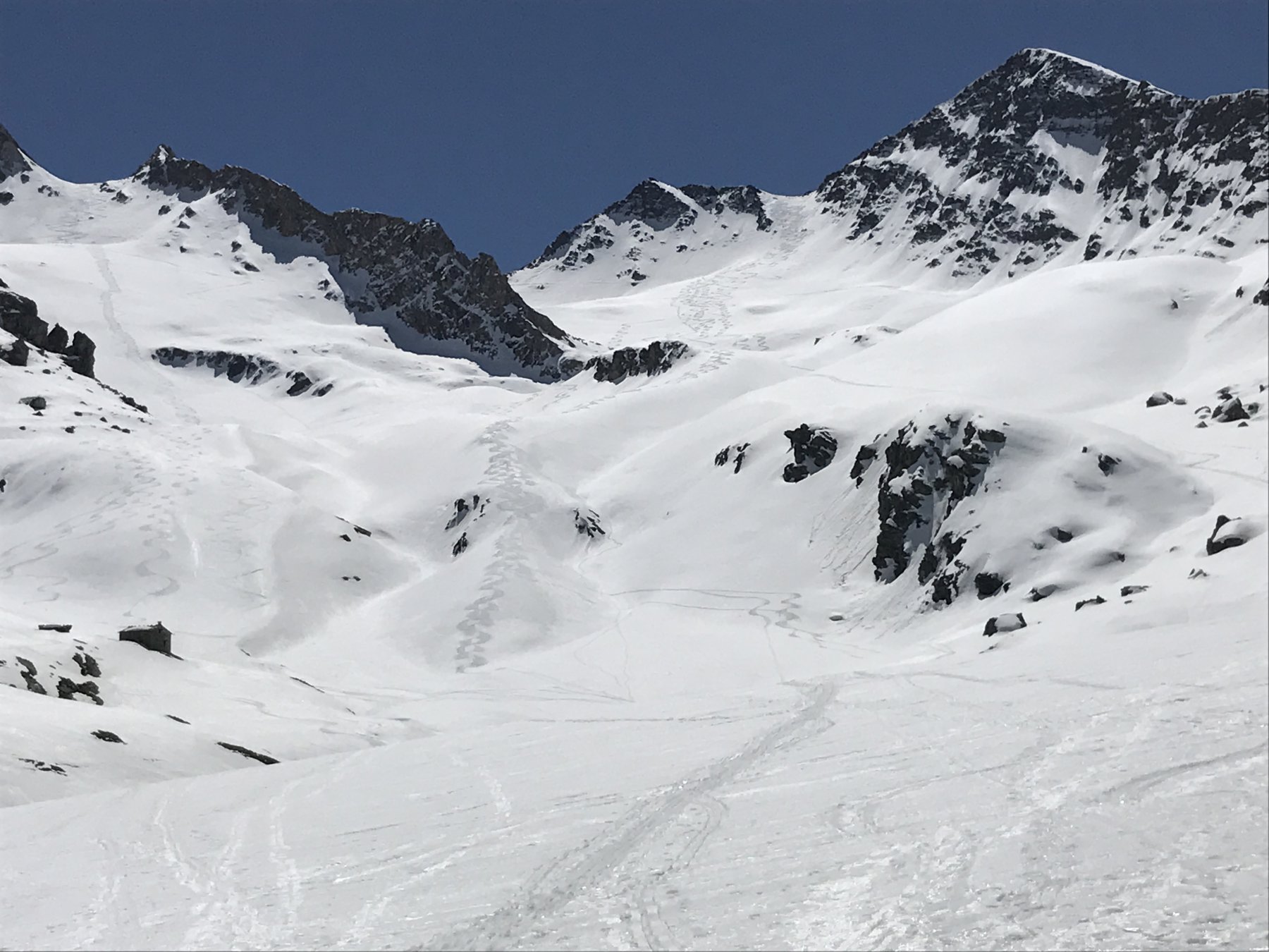
Di qui per l’itinerario classico del Vallone Baiso del Colle o per il canalone sud si scende alle evidenti (già dalla vetta del Malacosta) Grange del Rui, dalle quali su comodo sentiero si ritorna a Sant’Anna.
- Cartografia:
- IGC - 6
Nelle vicinanze Mappa
Itinerari
26/04/2025 CN, Bellino D+ 732 m BS Nord
Rasis (Testa) da Sant’Anna
 0m
0m
08/02/2004 CN, Bellino D+ 931 m BS Sud-Ovest
Reisassetto (Colle di) da Sant’Anna per il Vallone di Rui
0m
06/04/2016 CN, Bellino D+ 950 m BS Nord-Ovest
Balma (Colletto) da Sant’Anna
 0m
0m
27/08/2021 CN, Bellino D+ 1020 m OS Ovest
Pence (Monte) Parete Ovest
0m
28/04/2010 CN, Bellino D+ 1600 m BSA Nord-Ovest
Mongioia (Monte) o Bric de Rubren da Sant’Anna, traversata a Maljasset
 0m
0m
26/03/2016 CN, Bellino D+ 1050 m MS Sud
Fiutrusa (Passo di) da Sant’Anna
 0m
0m
01/05/2025 CN, Bellino D+ 1195 m BS Nord
Sebolet (Cima) da Sant’Anna
 0m
0m
18/03/2012 CN, Bellino D+ 1200 m BS Sud-Est
Gavea (Serra di) o Serre de Gavie quota 3006 m da Sant’Anna
 0m
0m
21/04/2024 CN, Bellino D+ 2000 m BS Varie
Maniglia (Monte), Monte Faraut, Monte Bellino da Sant’Anna, anello
 0m
0m
19/04/2024 CN, Bellino D+ 1218 m BS Nord
Faraut (Monte) da Sant’Anna
 0m
0m
Servizi
0m
2.4Km
Lou Saret Rifugio
Bellino
6.7Km
Del Pelvo Rifugio
Bellino
7.9Km
La liero Ristorante
Pontechianale
7.9Km
Savigliano Rifugio
Pontechianale
8.2Km
La Pineta Ristorante
Pontechianale
8.5Km
del sole Rifugio
Pontechianale
8.5Km
Laghi blu Rifugio
Pontechianale
8.5Km
Polenteria Ristorante
Pontechianale
8.6Km