1.7Km
1.7Km
Note
 50m
50m
50m
50m
1.5Km
1.6Km
1.6Km
1.7Km
1.8Km
2.1Km
50m
50m
50m
50m
1.5Km
1.6Km
1.6Km
1.7Km
1.8Km
2.1Km
1.7Km
1.7Km
2.1Km
4.7Km
5.5Km
6.4Km
7Km
7Km
8.4Km
9.7Km
Possibilità di abbreviare il percorso utilizzando la cabinovia di La Salette fino a 2200 m
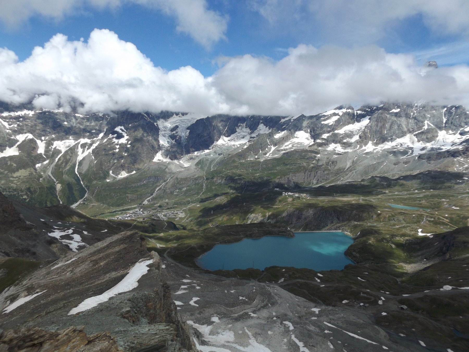
Bellissima cima dai panorami fantastici su tutta la conca di Cervinia, con il Cervino di fronte, Le Grandes Murailes - Dent D'Herens - Gobba di Rollin - Breithorn - Testa del Furghen - Piccolo Cervino - Grand Tournalin - Roisetta solo per citare i principali ed una moltitudine di laghi - Un solo neo per buona parte il percorso segue le piste da sci con gli impianti ed una poderale di servizio agli impianti, si può parzialmente ovviare a questo effettuando l'anello del Grand Collet scendendo lungo la pista azzurra ( a sinistra scendendo dal colle cime bianche )nel vallone che conduce alla stazione della cabinovia.
Avvicinamento
Bellissima cima dai panorami fantastici su tutta la conca di Cervinia, con il Cervino di fronte, Le Grandes Murailes - Dent D'Herens - Gobba di Rollin - Breithorn - Testa del Furghen - Piccolo Cervino - Grand Tournalin - Roisetta solo per citare i principali ed una moltitudine di laghi - Un solo neo per buona parte il percorso segue le piste da sci con gli impianti ed una poderale di servizio agli impianti, si può parzialmente ovviare a questo effettuando l'anello del Grand Collet scendendo lungo la pista azzurra ( a sinistra scendendo dal colle cime bianche )nel vallone che conduce alla stazione della cabinovia.
Autostrada To-Ao uscire al casello di Chatillon e proseguire lungo la strada per Cervinia, passato il centro di Valtournanche svoltare a destro verso Cheneil. Raggiunta la località Laviel, parcheggiare nell'ampio spiazzo appena dopo il tornante che sfiora la pista di discesa.
Descrizione
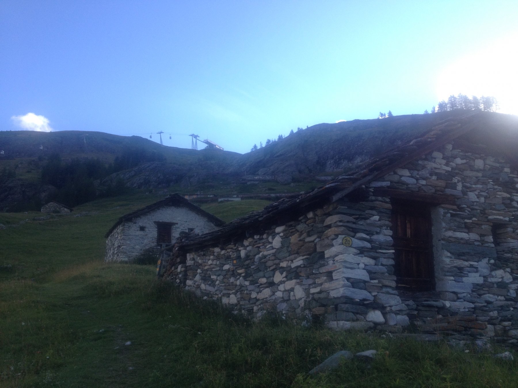
Si prende subito dal parcheggio la stradina sulla sinistra che poco dopo confluisce sul sentiero n° 20 che circa in un oretta ci conduce alla località Salette, (arrivo della cabinovia). Seguire sempre le indicazioni del sentiero 20 per il Colle Superiore delle Cime Bianche, che risale lungo una poderale, superato un alpeggio dopo una ripida salita si trova una nuova palina indicatrice che immette nel sentiero, che tra prati e dossi e pietraie raggiunge il Colle Inferiore delle Cime Bianche Cime Bianche.
Risalire a sinistra dietro all’arrivo dell’impianto ( praticamente sopra il tetto ), di qui in avanti non ci sono più segni solo tracce e radi ometti, risalire il ripido crestone, sino a portarsi nel traverso superiore dove la pendenza un pò spiana, effettuare un traverso verso sinistra passando al di sopra di balze rocciose (attenzione in caso di neve e pioggia).
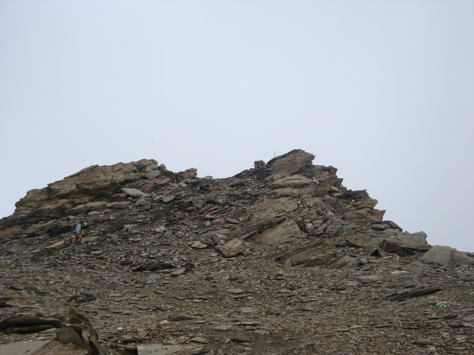
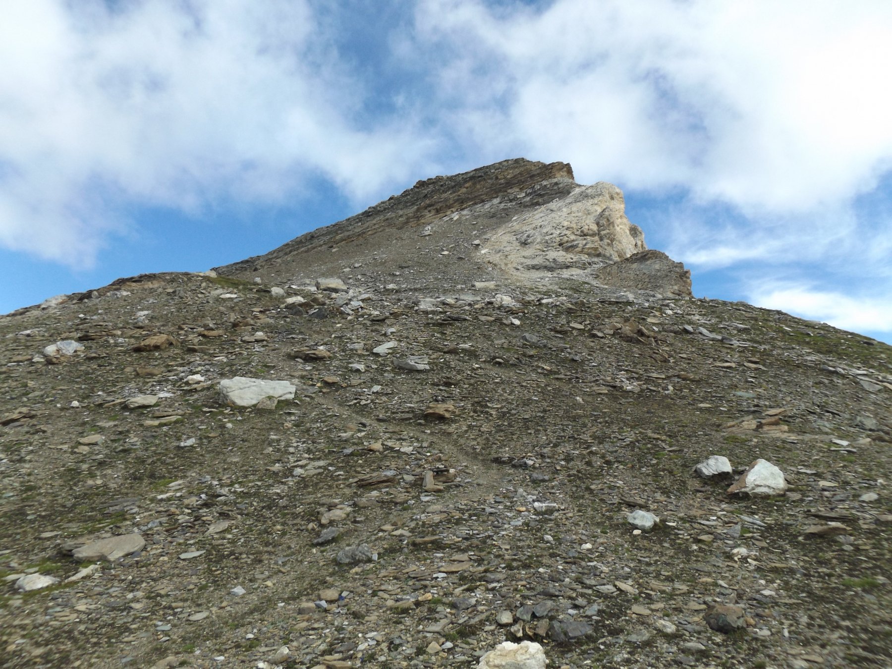
Raggiunta la dorsale della vetta la si risale nuovamente sul ripido tra rocce instabili e pietrisco, sino a giungere in vista della cima sormontata da una statua della Madonna, risalire l’ultima pietraia e raggiungere la vetta.
Il sentiero n 20 parte da Valtournenche ( circa 100 metri prima della partenza della cabinovia – staccionata di legno – a destra della strada ) aggiungendo in questo modo, alla gita, circa 650 metri di dislivello su bellissimo sentiero che attraversa i prati che sovrastano Valtournenche.
Nelle vicinanze Mappa
Itinerari
01/11/2024 AO, Valtournenche D+ 1130 m EE Sud-Ovest
Motte di Pletè occidentale dalla strada per Cheneil
 50m
50m
23/08/2023 AO, Valtournenche D+ 1050 m EE Ovest
Roisetta (Colle) dalla strada per Cheneil
 50m
50m
06/08/2025 AO, Valtournenche D+ 1247 m EEA Ovest
Carré (Bec) dalla strada per Cheneil
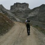 50m
50m
15/08/2025 AO, Valtournenche D+ 939 m EE Sud-Est
Gran Collet dalla strada per Cheneil
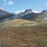 50m
50m
17/06/2026 AO, Valtournenche D+ 1100 m EE Varie
Pancherot (Monte) da Crepin, anello per la Finestra di Cignana
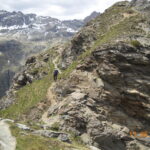 1.5Km
1.5Km
03/09/2025 AO, Valtournenche D+ 575 m E Varie
Motte di Pletè occidentale dalla cabinovia Salette
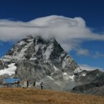 1.6Km
1.6Km
05/08/2017 AO, Valtournenche D+ 3404 m EE Varie
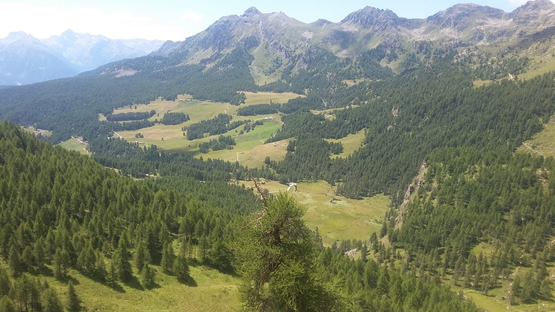
Giro dei Giganti Tappa 6: Valtournenche – Ollomont
 1.6Km
1.6Km
08/06/2025 AO, Valtournenche D+ 1000 m EE Sud-Ovest
Molar (Monte) da Cretaz per Cheneil
 1.7Km
1.7Km
12/05/2025 AO, Valtournenche D+ 700 m E Nord
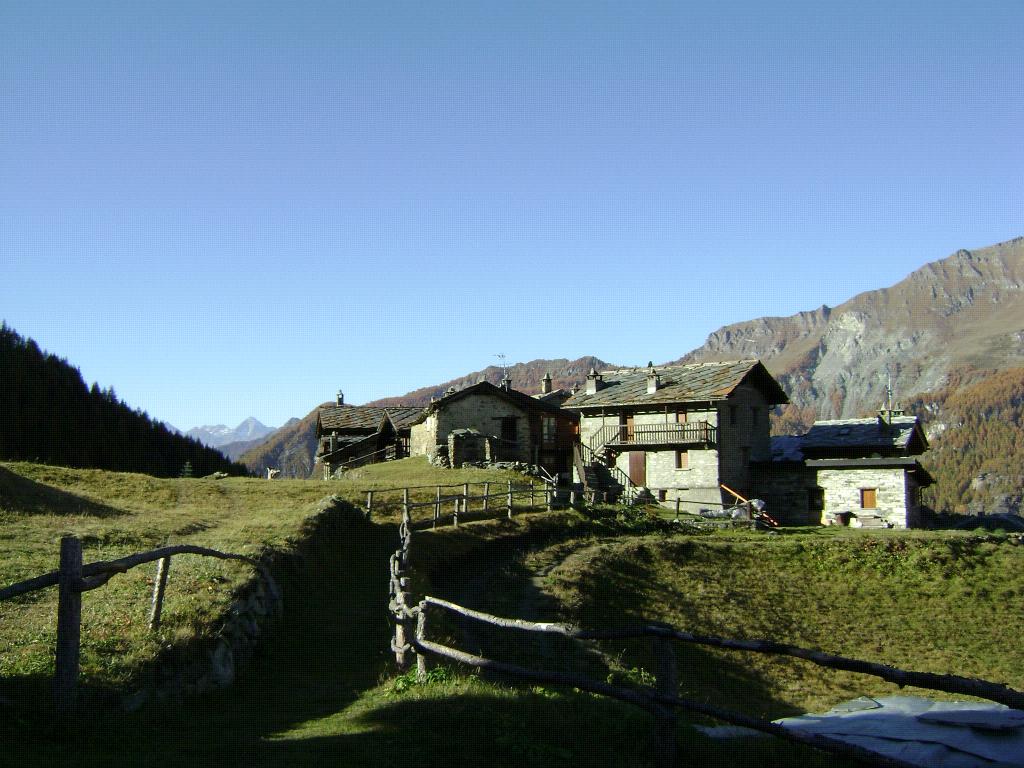
Cheneil (Colle di) da Cretaz, anello per il Lago di Lod
 1.8Km
1.8Km
12/07/2026 AO, Valtournenche D+ 1300 m EE Sud-Est
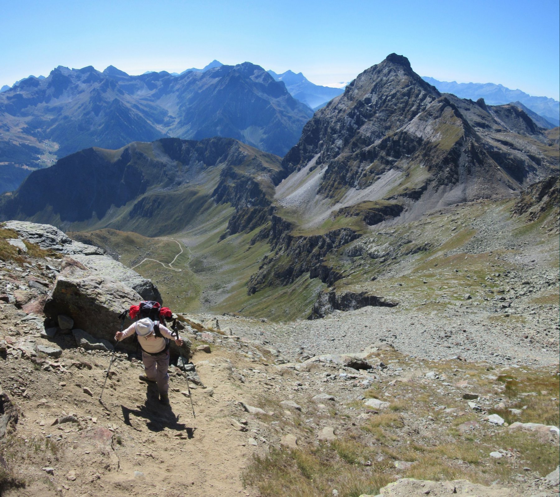
Petit Tournalin da Cheneil per il Col di Nana
 2.1Km
2.1Km
Servizi
1.7Km
1.7Km
Pankeò B&B
Valtournenche
2.1Km
Panorama al Bich Ristorante
Valtournenche
4.7Km
da Bruna Ristorante
Chamois
5.5Km
Bellevue Rifugio
Chamois
6.4Km
Maison de Suis B&B
Chamois
7Km
Grand Tournalin Rifugio
Ayas
7Km
Pession Ristorante
Antey-Saint-André
8.4Km
Lo scoiattolo Ristorante
La Magdeleine
9.7Km