7.4Km
7.4Km
Note
 0m
0m
700m
1.8Km
1.8Km
1.8Km
1.8Km
1.8Km
1.8Km
0m
0m
700m
1.8Km
1.8Km
1.8Km
1.8Km
1.8Km
1.8Km
itinerario consigliabile solo quando si può arrivare in macchina ai casolari diroccati di Argentiera o, meglio, alla triforcazione del ponte di quota 1909. (8,6 km dal bivio per la Valle Argentiera).
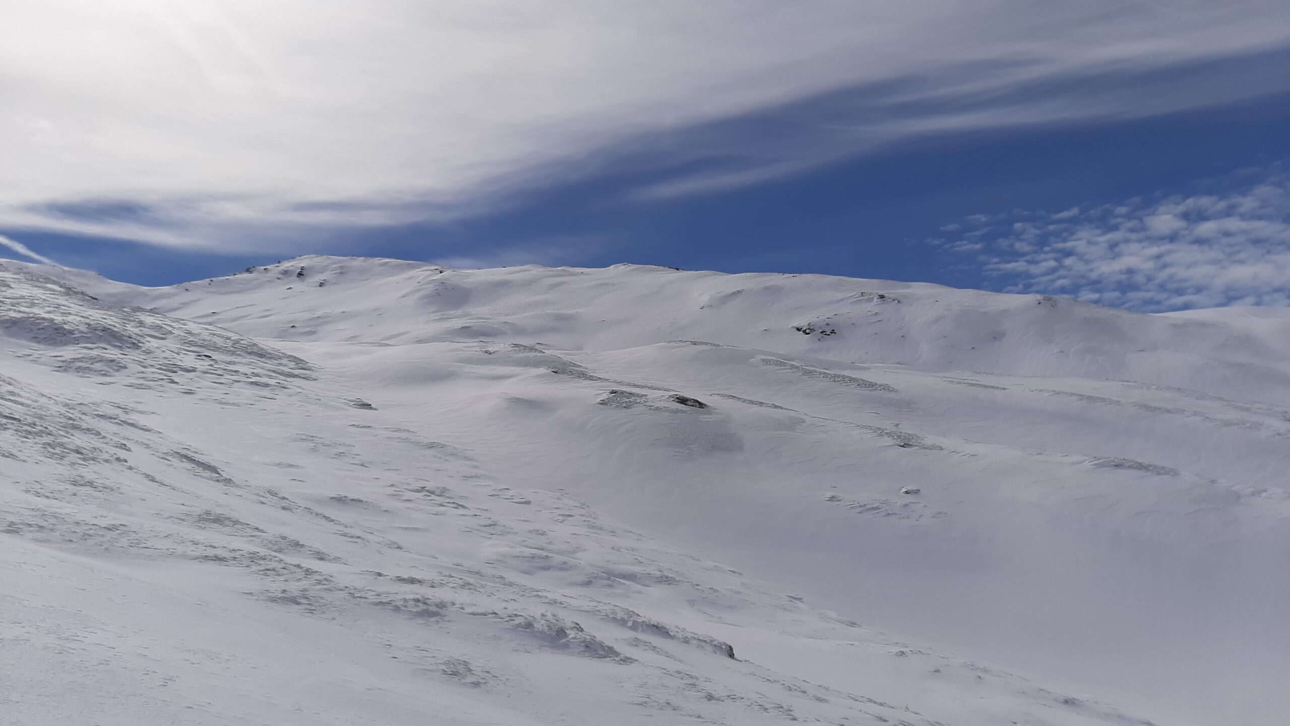
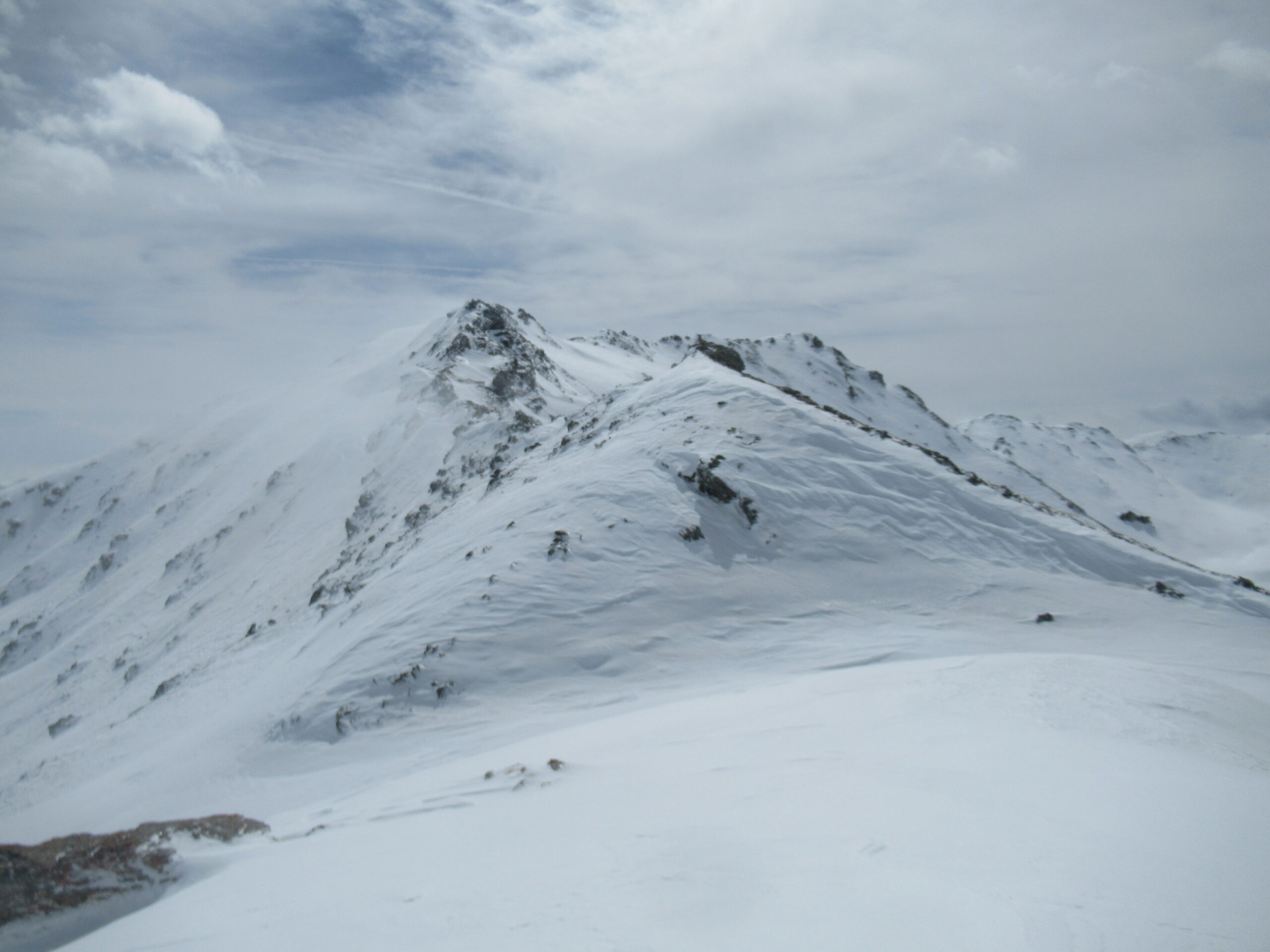
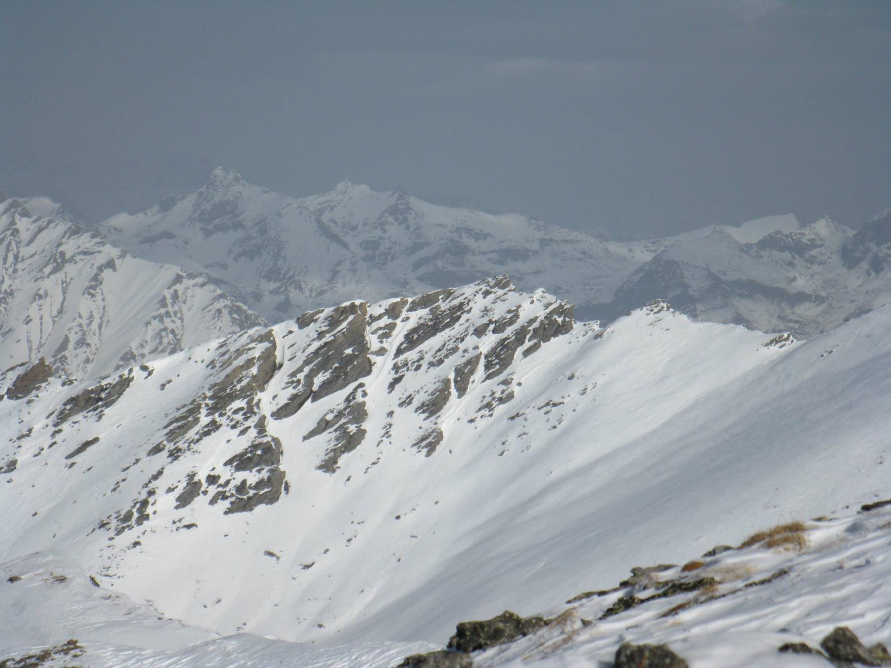
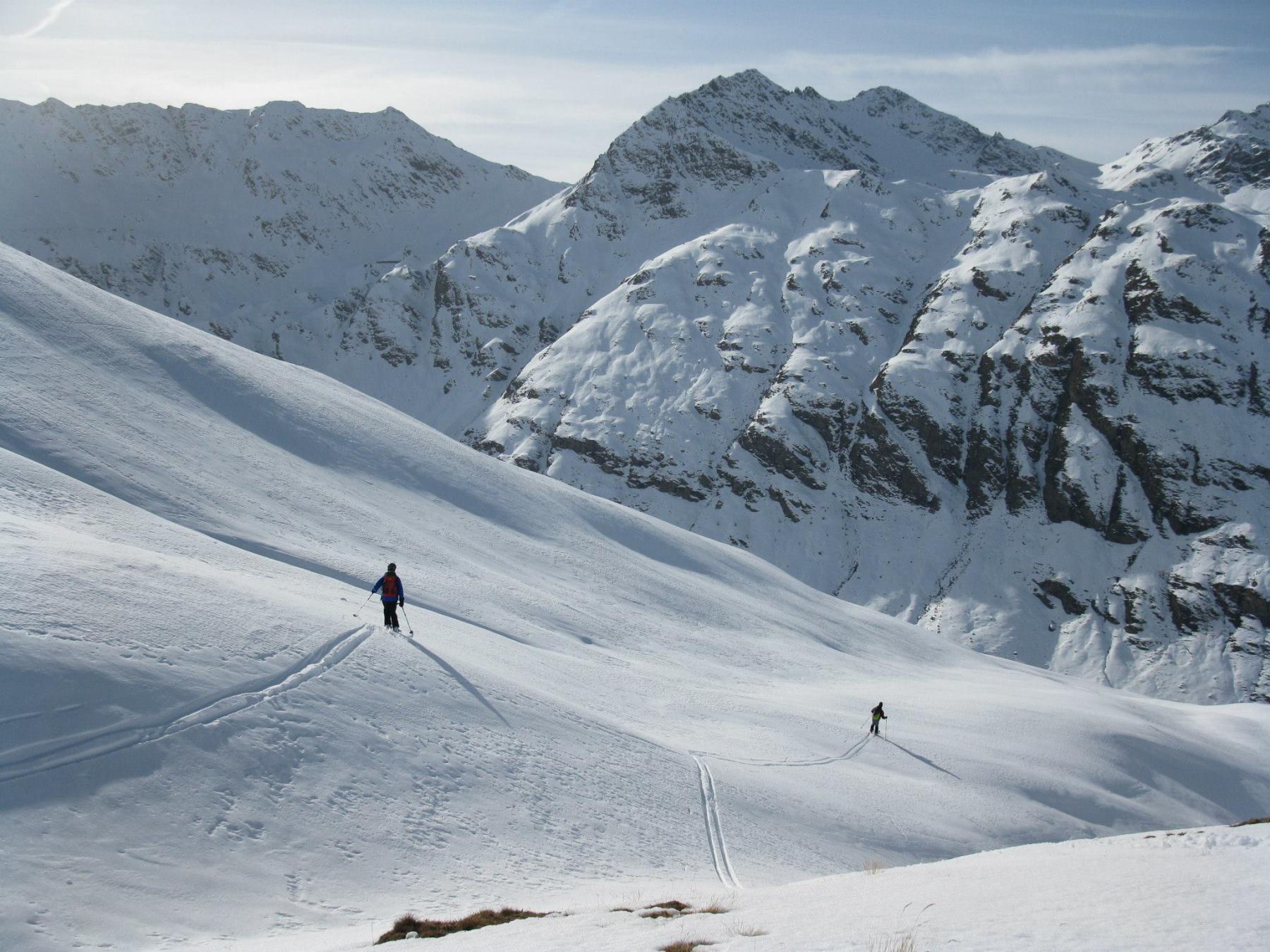
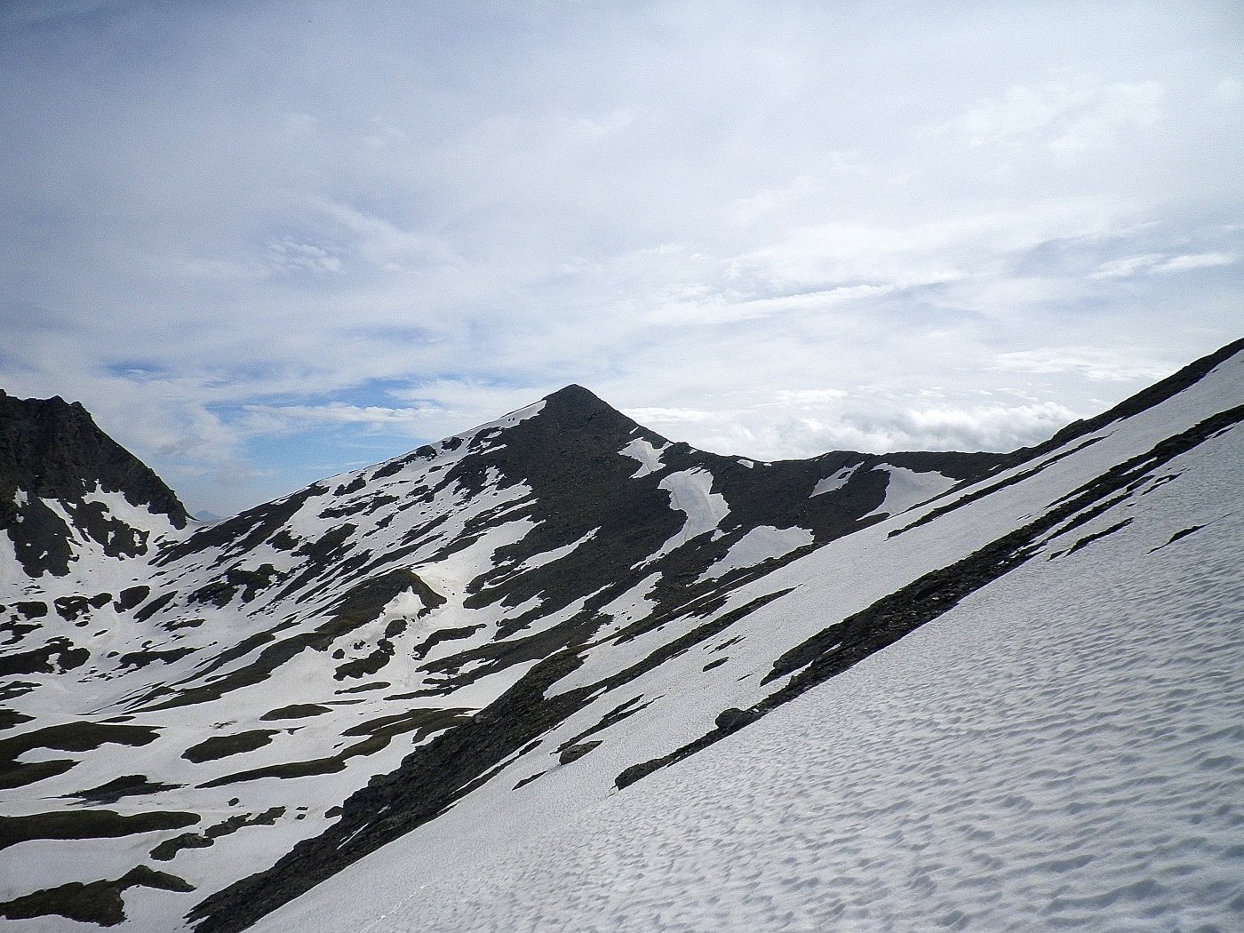
Da questo versante la quota sciistica che generalmente viene raggiunta con gli sci è l'anticima Nord (2908 m). Volendo con percorso di cresta esposto ma non difficile (ramponi) si può raggiungere la vera cima del Gran Miol in circa 30 min.
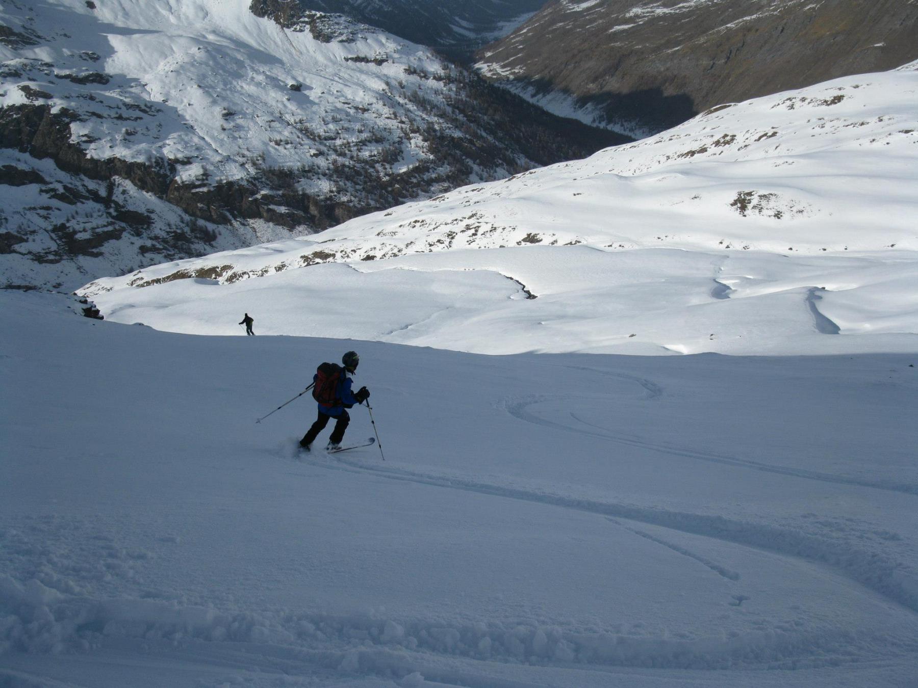
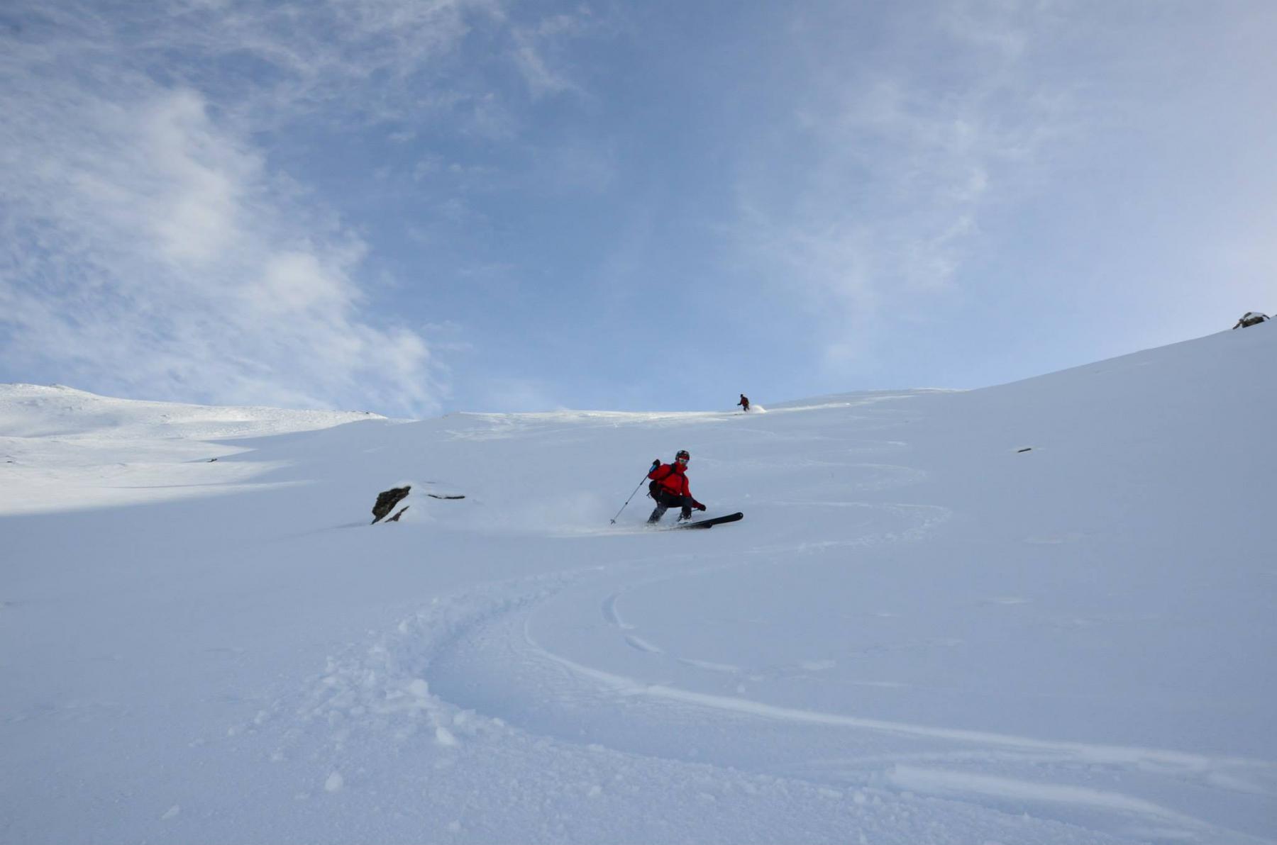
Dalla quota 2908 vi è anche la possibilità di scendere il canale nord est che immette nella Valle Lunga rientrando al punto di partenza dall'azienda agrituristica Plane.
Descrizione
Da questo versante la quota sciistica che generalmente viene raggiunta con gli sci è l'anticima Nord (2908 m). Volendo con percorso di cresta esposto ma non difficile (ramponi) si può raggiungere la vera cima del Gran Miol in circa 30 min.
Dalla quota 2908 vi è anche la possibilità di scendere il canale nord est che immette nella Valle Lunga rientrando al punto di partenza dall'azienda agrituristica Plane.
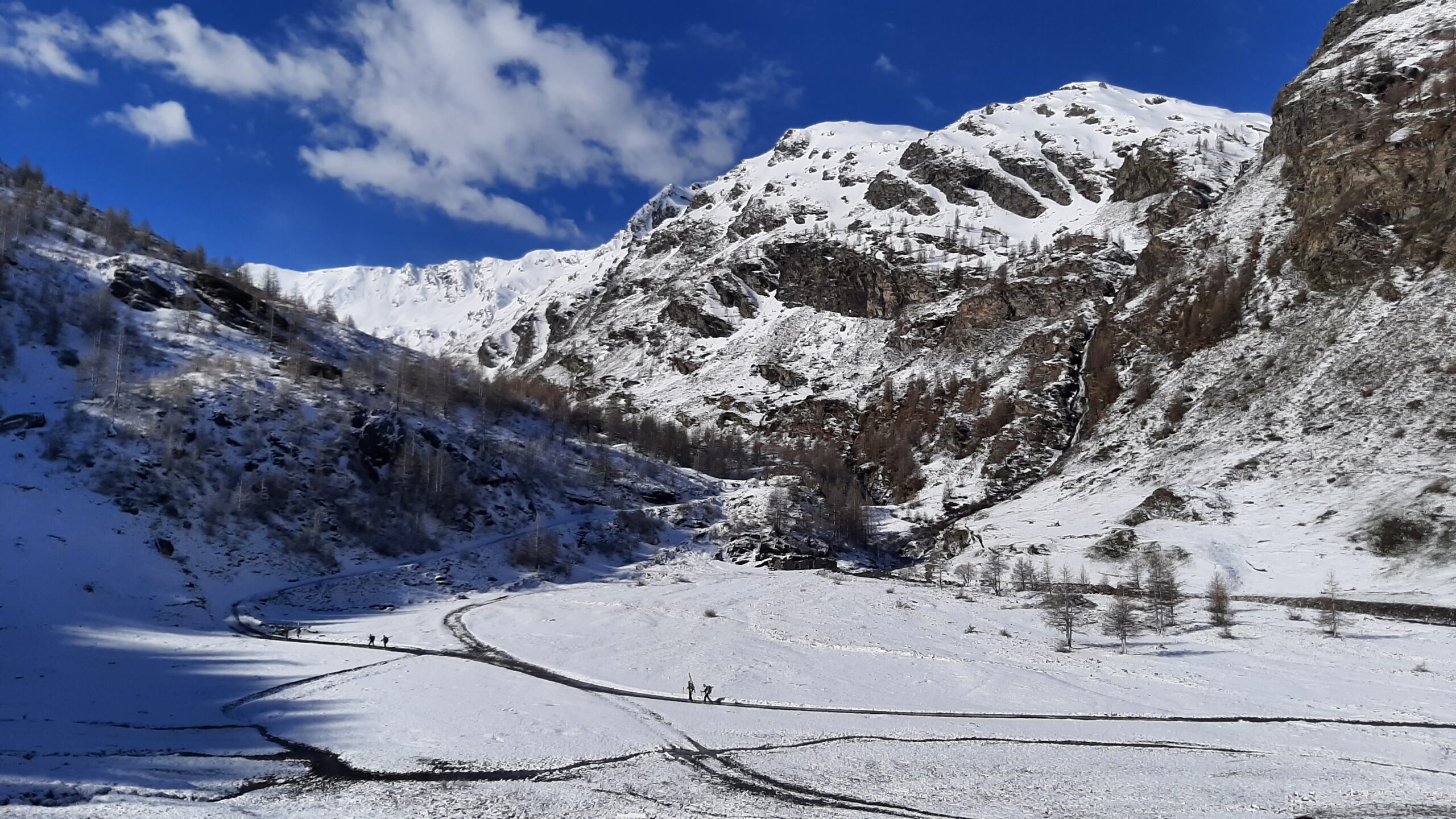
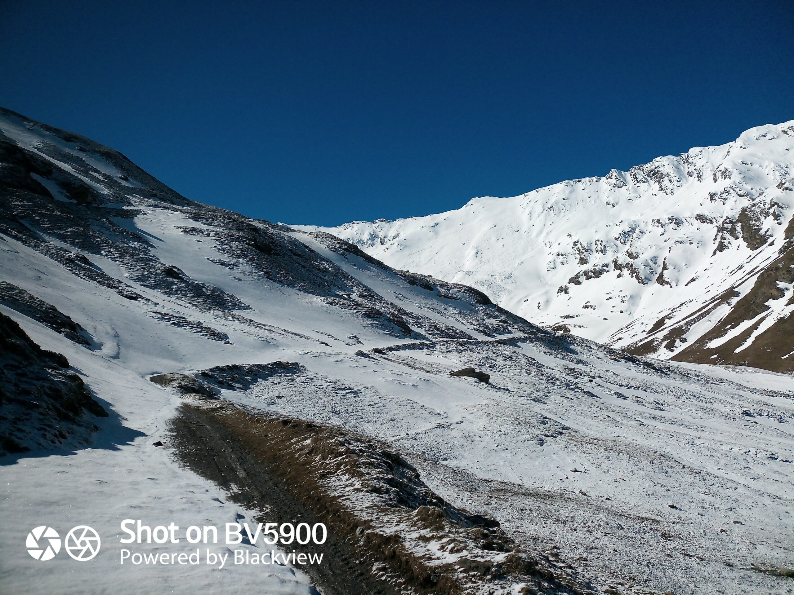
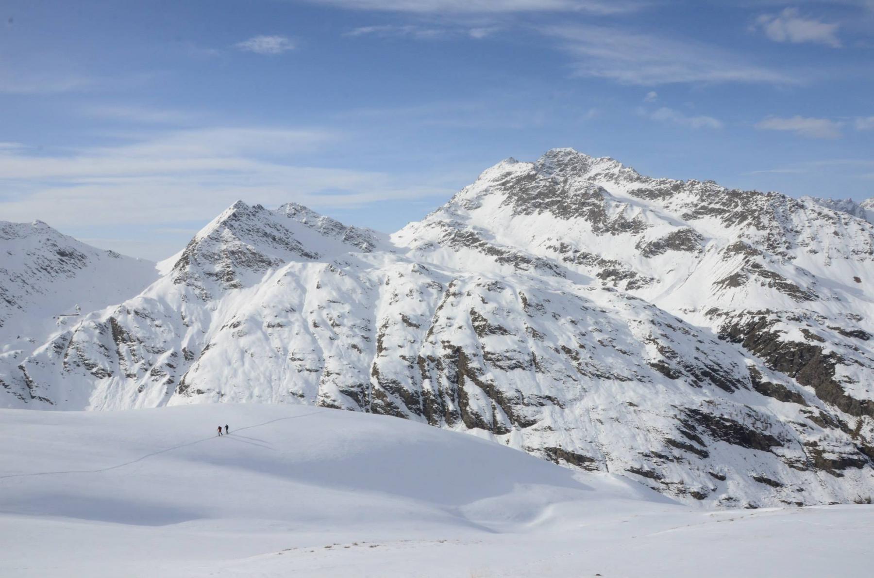
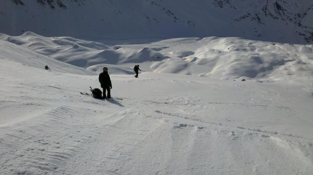
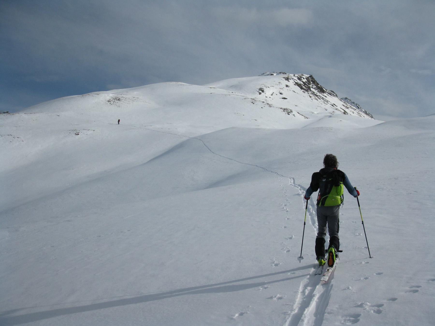
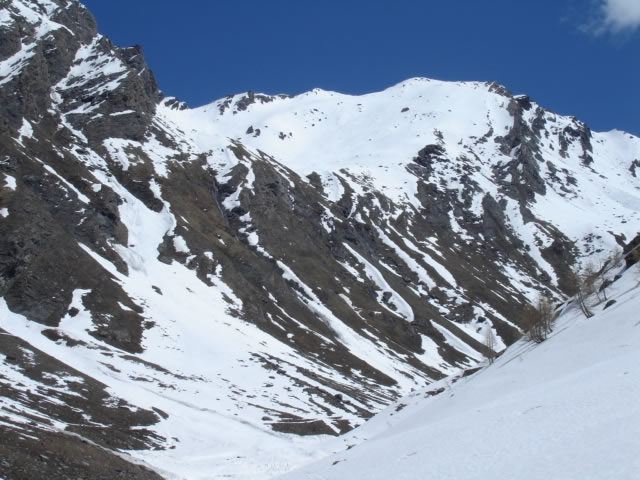
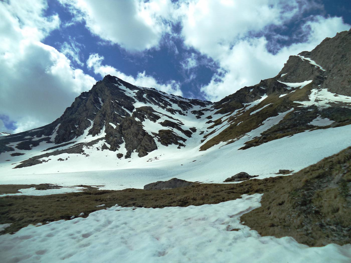
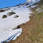
Dal ponte 1909 m, dove la valle principale si biforca nella Valle Lunga e nella Valle del Gran Miol, si prende la strada sulla destra sino ad un pianoro a quota 2100. Si attraversa un ponticello e, abbandonando la strada, si sale verso est il pendio subito abbastanza ripido tra radi larici.
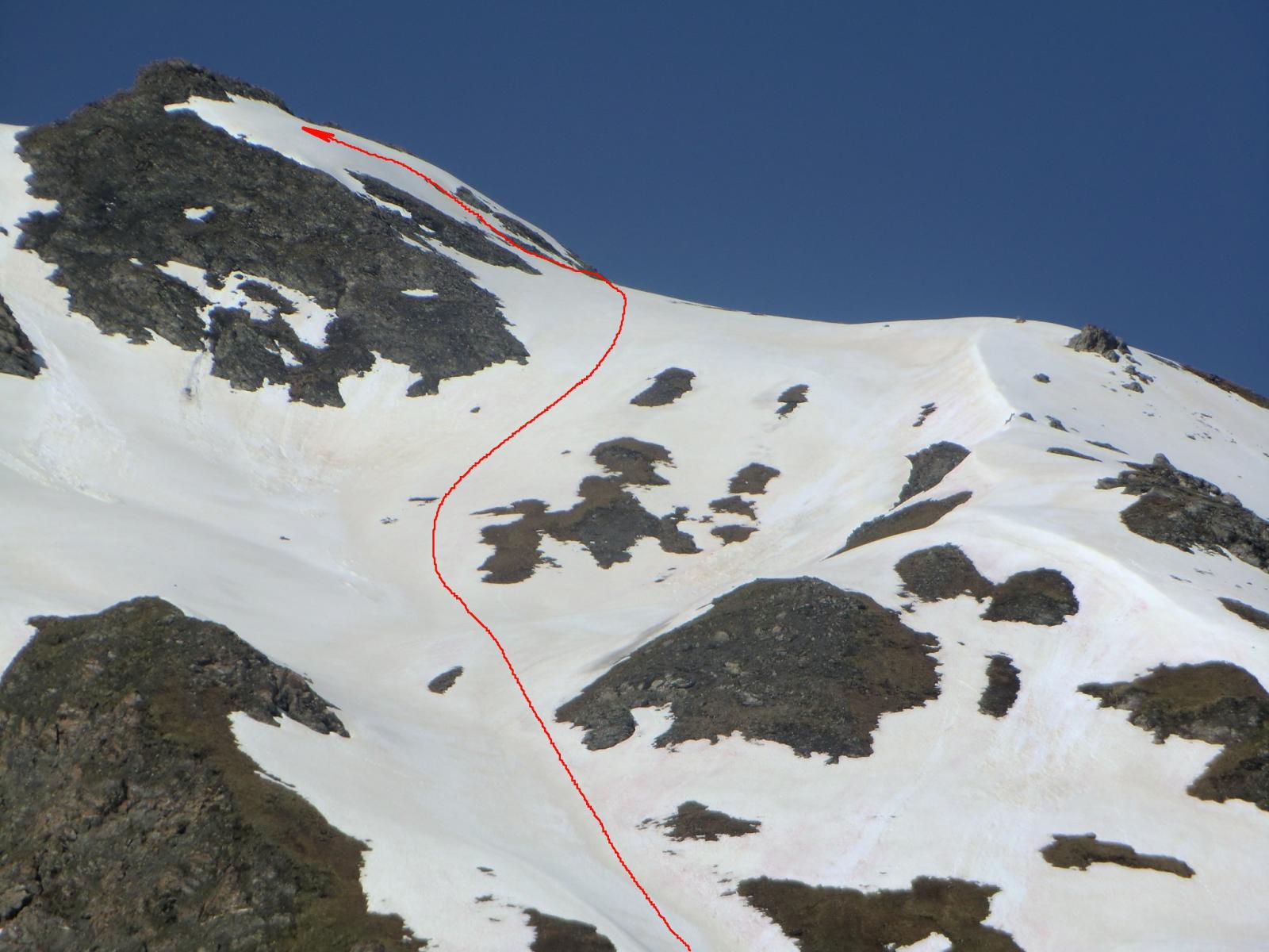
Più in alto si piega verso destra per immettersi nell’evidente vallone del Clot delle Sagne. A questo punto il percorso non è obbligato, normalmente si segue l’ampia valle fino al culmine e con rampa finale verso destra si raggiunge la q.2908. E’ anche possibile raggiungere detta quota guadagnando e seguendo,sin dal basso, il costolone panoramico che appare evidente alla nostra destra (ometti).
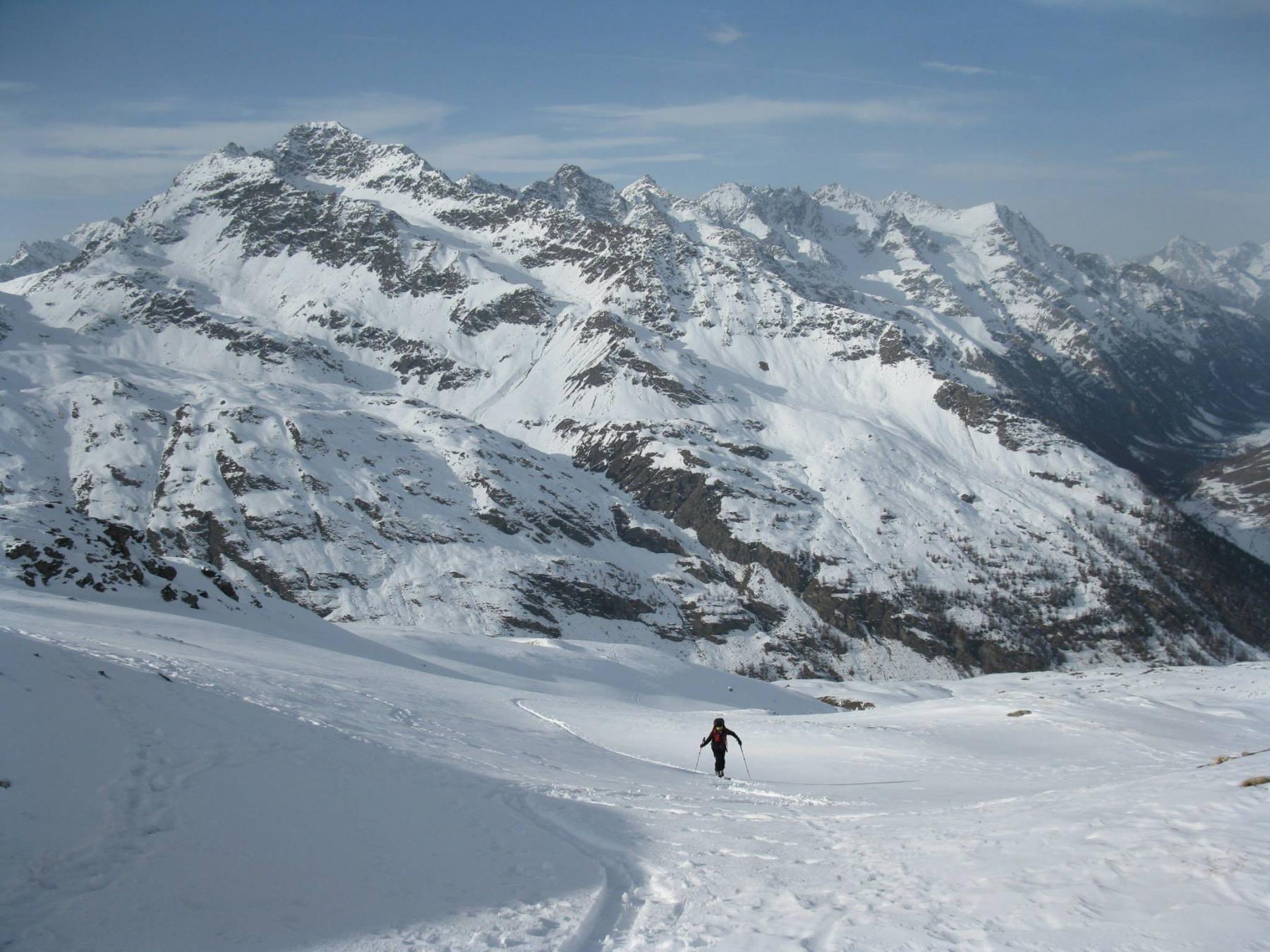
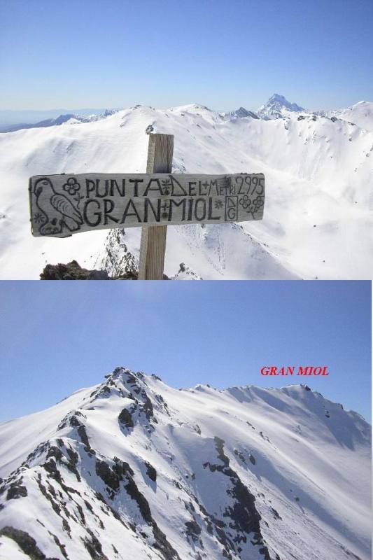
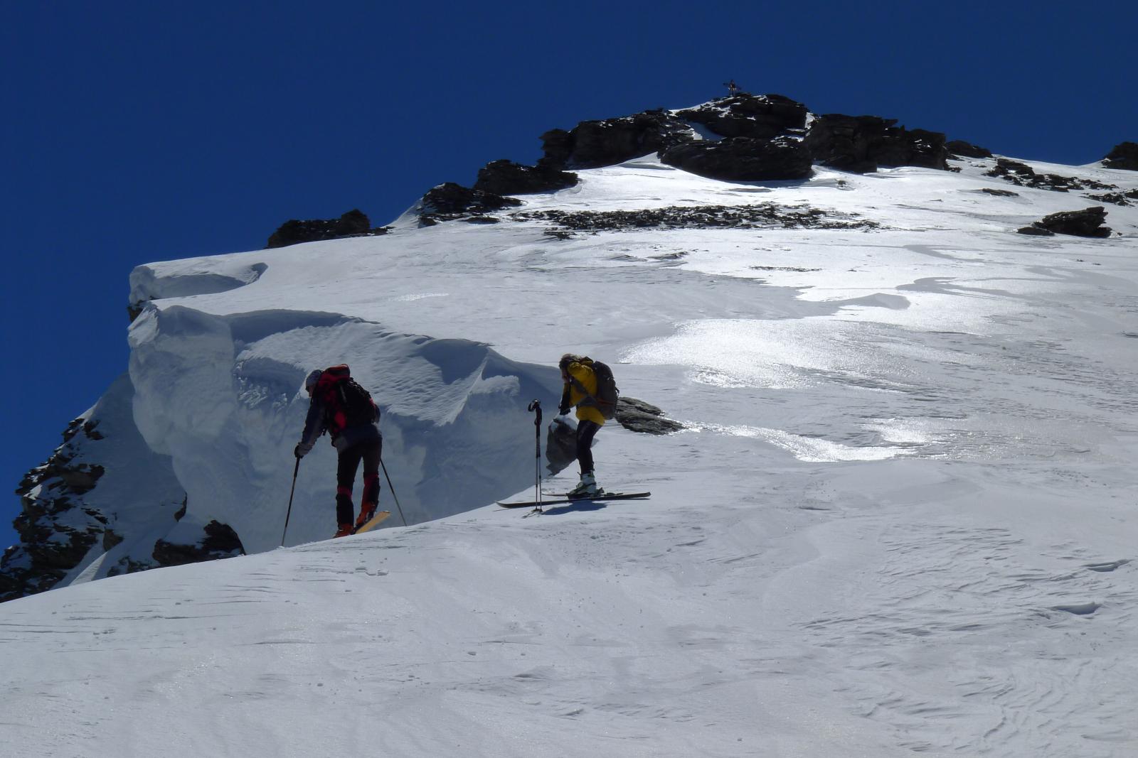
Dalla q.2908, dove si lasciano gli sci e si calzano i ramponi, si percorre interamente la cresta che con percorso alquanto panoramico porta alla Punta del Gran Miol (palina in cima)
- Cartografia:
- IGC 1 Valli Susa Chisone Germanasca, Fraternali 1:25000 n.2 Alta Valle di Susa Alta Val Chisone
Nelle vicinanze Mappa
Itinerari
28/05/2023 TO, Sauze di Cesana D+ 1210 m BS Nord-Ovest
Gran Queyron dalla Valle Argentera
 0m
0m
07/05/2005 TO, Sauze di Cesana D+ 1070 m OS Ovest
Capra (Punta della) dalla Valle Argentera
 0m
0m
30/05/2004 TO, Sauze di Cesana D+ 958 m BS Nord
Fionière (Colle della) da Argentera
0m
23/04/2026 TO, Sauze di Cesana D+ 1466 m BS Nord
Ramière (Punta) o Bric Froid dalla Valle Argentera
 700m
700m
30/05/2015 TO, Sauze di Cesana D+ 1800 m BSA Varie
Gran Miol (Punta), Cima Roudel, Punta Scodella dalla Valle Argentera, giro della Valle Lunga
 1.8Km
1.8Km
22/05/2021 TO, Sauze di Cesana D+ 995 m BS Nord-Est
Charbonnel (Pic) dalla Valle Argentera
 1.8Km
1.8Km
12/04/2025 TO, Sauze di Cesana D+ 1337 m BS Sud-Ovest
Appenna (Monte) dalla Valle Argentera
 1.8Km
1.8Km
17/06/2019 TO, Sauze di Cesana D+ 1361 m BS Nord-Ovest
Frappier (Cima) dalla Valle Argentera
 1.8Km
1.8Km
31/05/2020 TO, Sauze di Cesana D+ 1080 m BS Nord-Est
Roudel (Cima) dalla Valle Argentera per la Valle Lunga
 1.8Km
1.8Km
23/05/2026 TO, Sauze di Cesana D+ 1466 m BSA, F Nord-Est
Ramière (Punta) o Bric Froid dalla Valle Argentera per il vallone NE dell’ex-ghiacciaio
 1.8Km
1.8Km