0m
0m
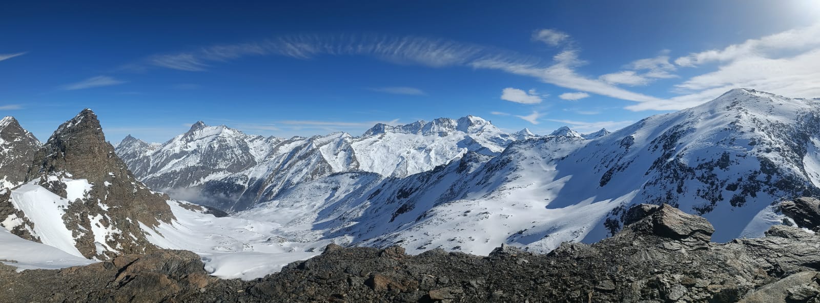
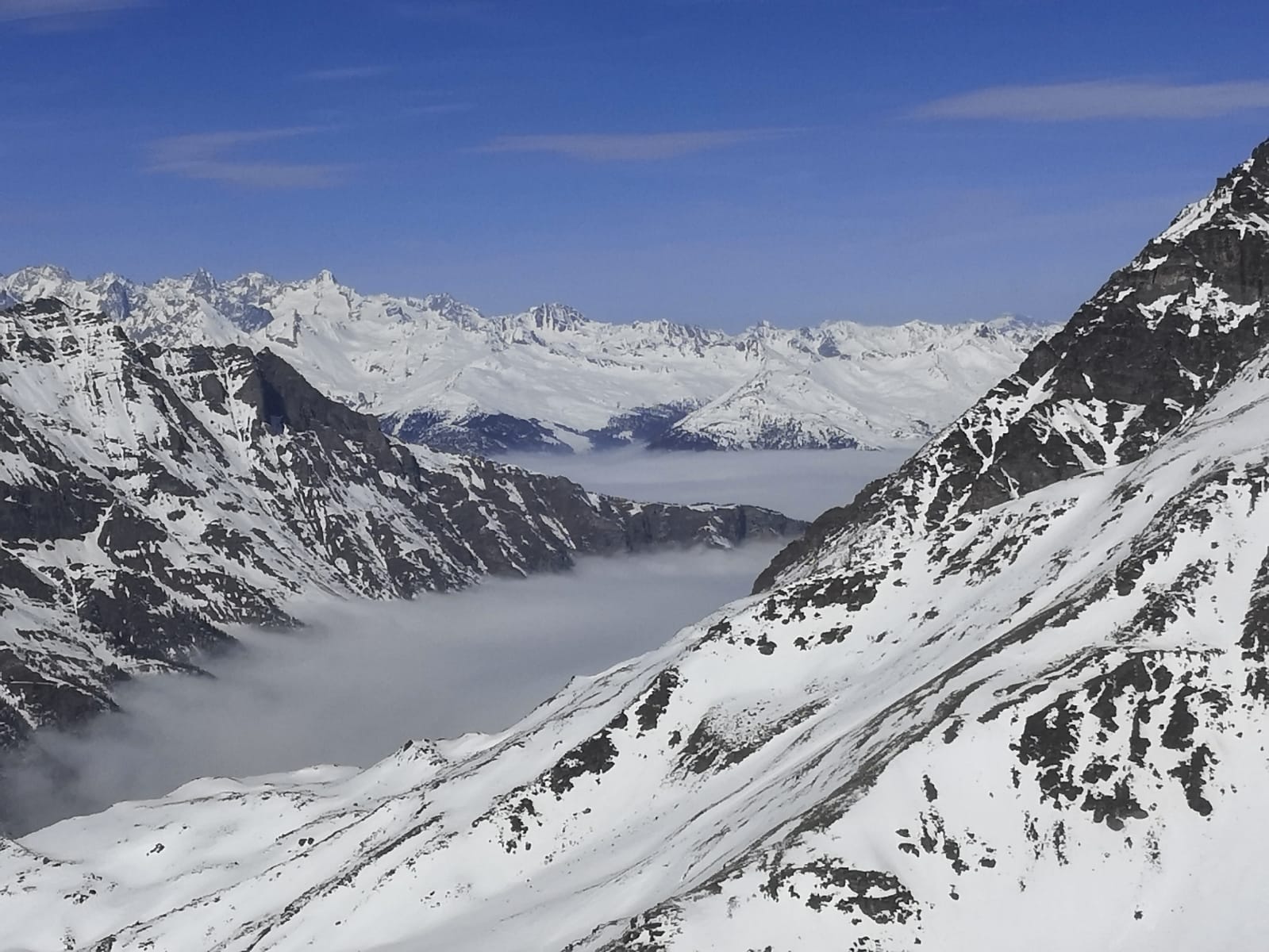
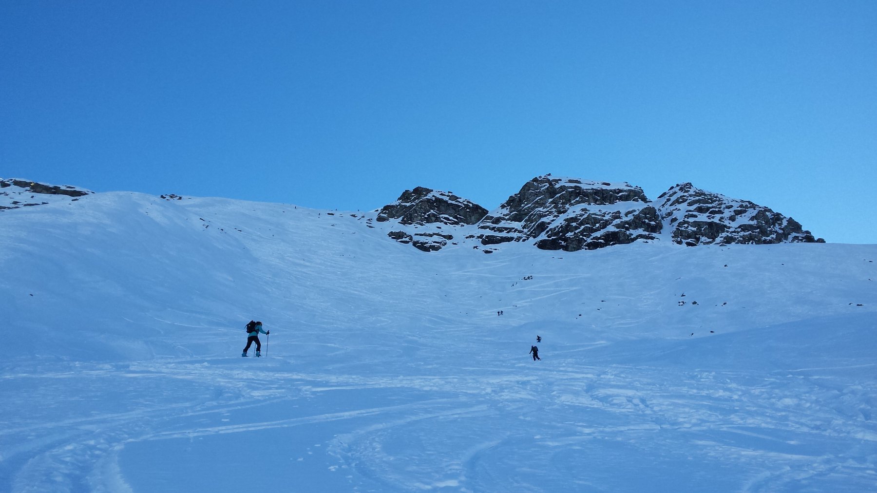
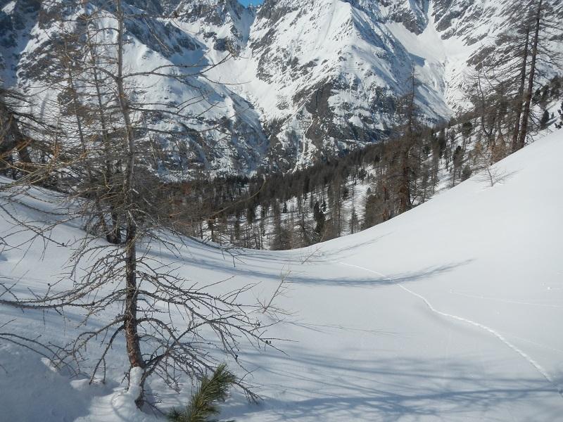
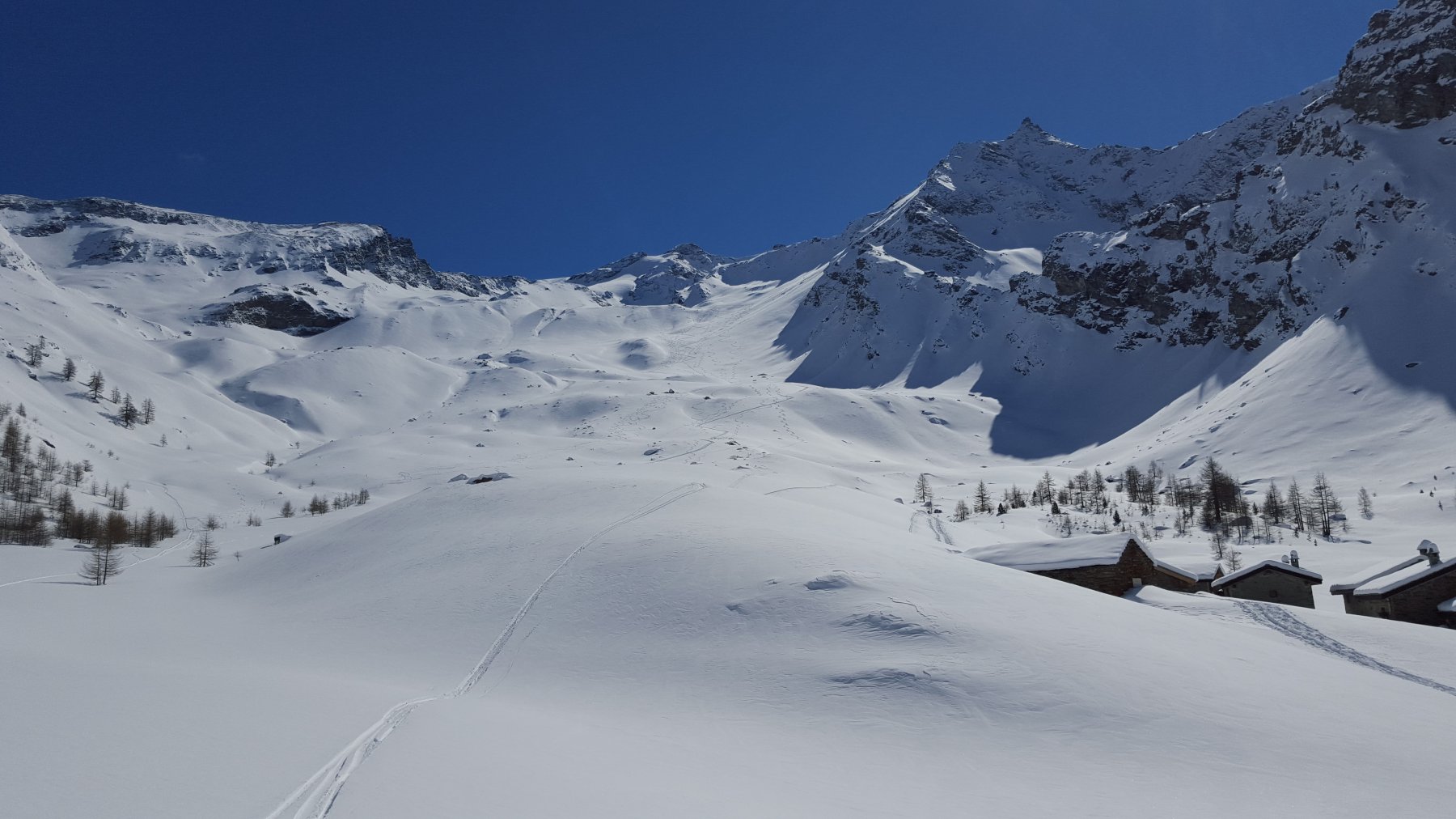
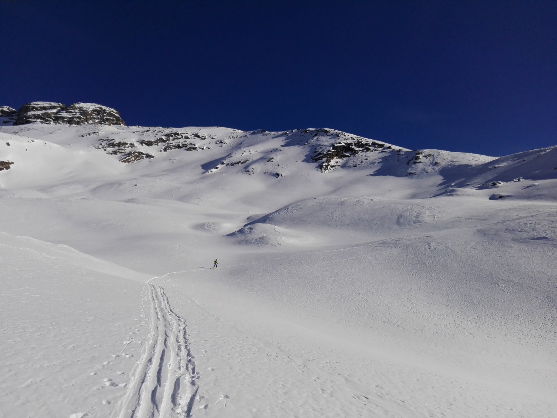
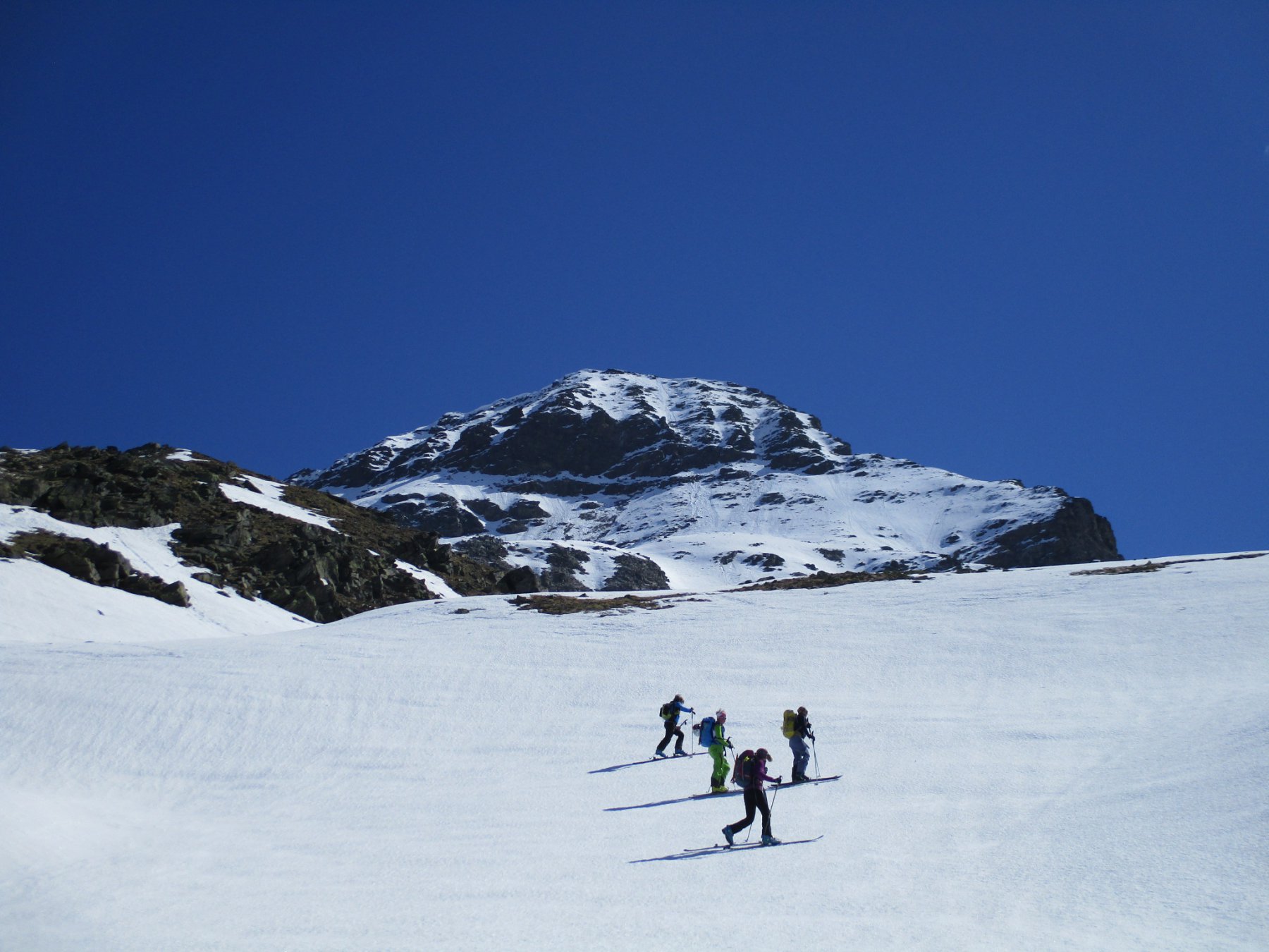
Avvicinamento
 0m
0m
0m
0m
0m
0m
0m
0m
50m
50m
0m
0m
0m
0m
0m
0m
0m
0m
50m
50m
.
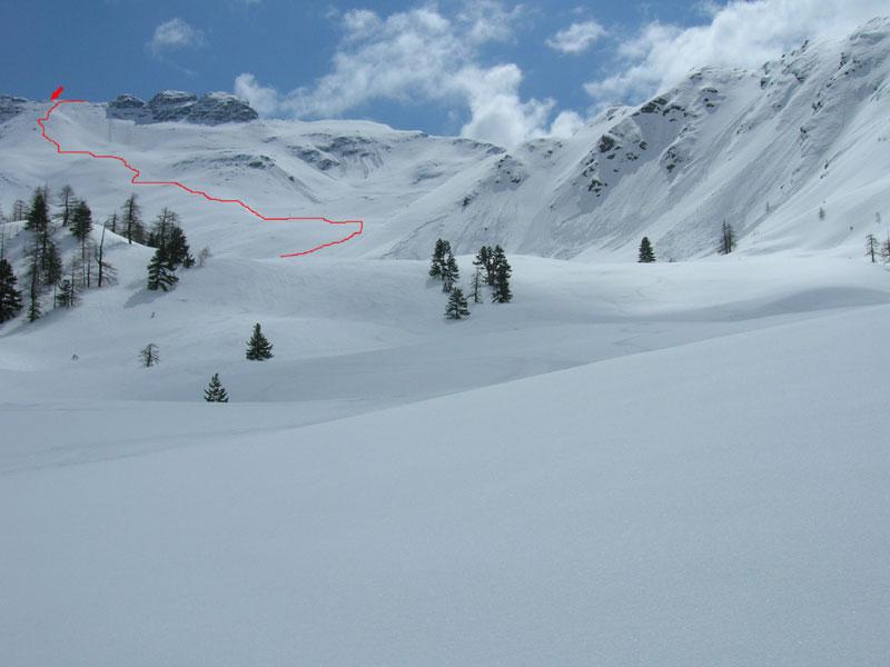
Descrizione
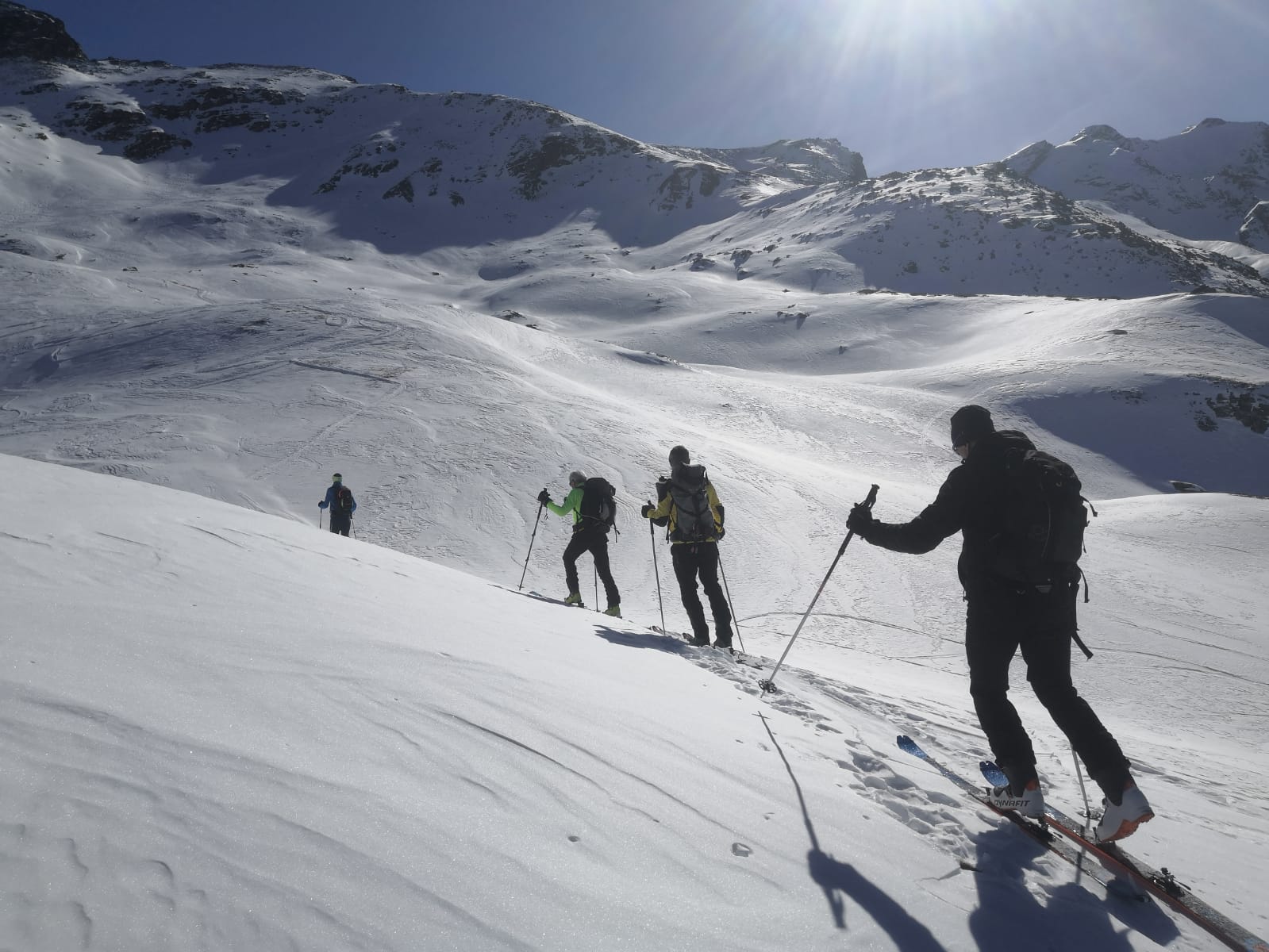
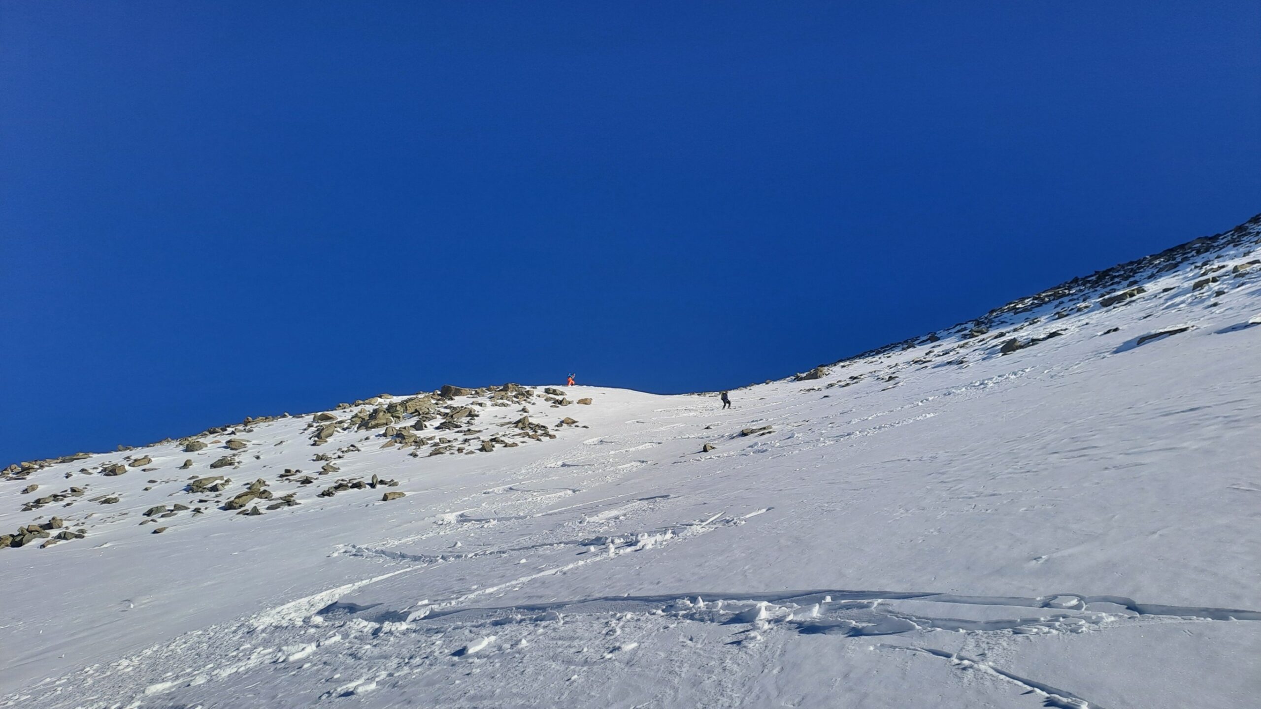
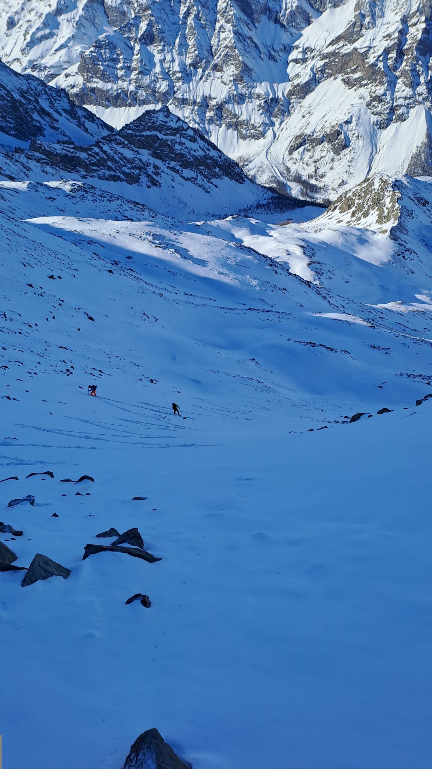
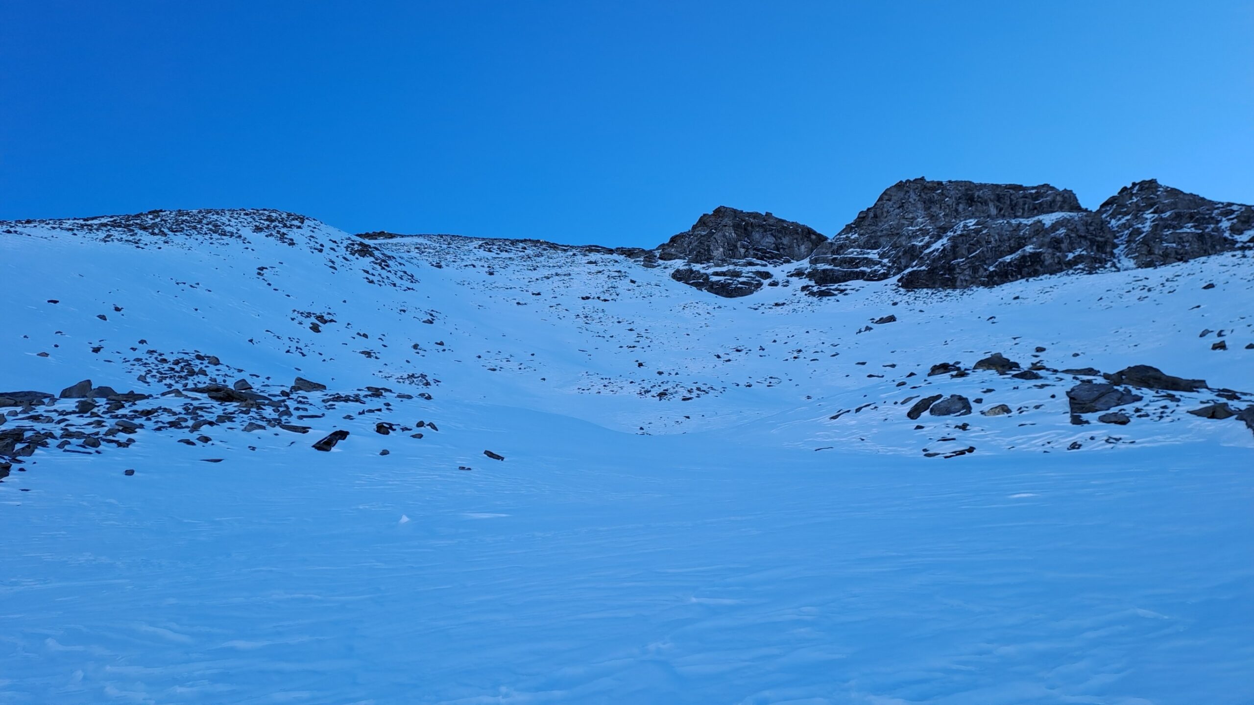
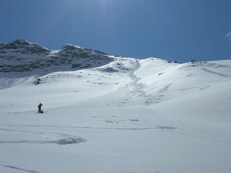
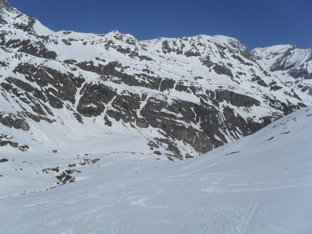
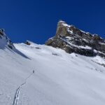
L’itinerario è quello per il Col di Sort. Fuori dal bosco, invece di stare sul fondo per arrivare alla rampa del colle senza montacala, salire poggiando leggermente a destra passando sotto (ben sotto) il ripido lenzuolo nevoso che scende dalle cime centrale e sud e che è separato dal canale, all’inizio invisibile, da un rilievo nevoso.
Oltre, una costola rocciosa scende dal Gollien nord. Puntare verso la base delle stessa. Si arriva così all’inizio del canale (compreso tra i suddetti costoni) e lo si sale in sci e/o a piedi.
La pendenza aumenta salendo pur senza destare eccessive preoccupazioni.
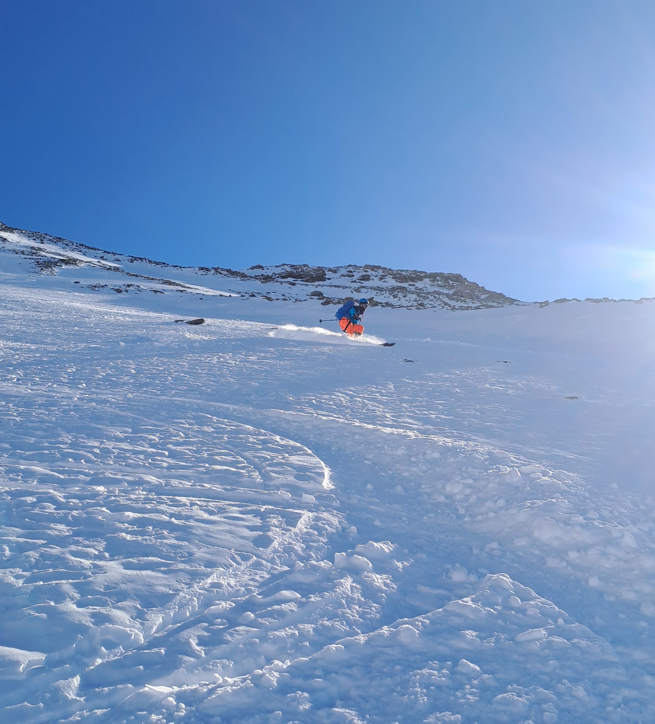
Il suo dislivello supera, ad occhio, i 300 m e termina nei pressi del filo di cresta poco sotto la massa scura terminale del Gollien nord.
Nelle vicinanze Mappa
Itinerari
21/03/2026 AO, Rhêmes-Notre-Dame D+ 1357 m BS Nord-Ovest
Gollien (Cime di) spalla SO 3085 m da Bruil per il Vallone di Sort
 0m
0m
09/04/2023 AO, Rhêmes-Notre-Dame D+ 915 m MS Est
Tsanteleina (Truc) da Thumel
 0m
0m
10/12/2021 AO, Rhêmes-Notre-Dame D+ 1241 m BS Ovest
Sort (Colle di) da Rhemes Notre Dame
 0m
0m
07/05/2026 AO, Rhêmes-Notre-Dame D+ 1707 m BSA, F Nord-Ovest
Entrelor (Cima di) da Bruil
 0m
0m
11/03/2026 AO, Rhêmes-Notre-Dame D+ 856 m MS Ovest
Entrelor (Testa di) da Rhemes Notre Dame per il il Vallone d’Entrelor e il Col Gollien
 0m
0m
08/02/2026 AO, Rhêmes-Notre-Dame D+ 907 m BS Sud-Ovest
Sort (Testa di) da Bruil
 0m
0m
16/01/2024 AO, Rhêmes-Notre-Dame D+ 856 m MS Nord-Ovest
Entrelor (Testa di) da Rhemes Notre Dame per il Vallone di Sort e il Col Gollien
 0m
0m
08/02/2026 AO, Rhêmes-Notre-Dame D+ 837 m BS Varie
Gollien (Colle) da Bruil, giro valloni di Entrelor e Sort
 0m
0m
05/04/2026 AO, Rhêmes-Notre-Dame D+ 1490 m BS Nord-Est
Grande Rousse, cresta nord quota 3213 m da Bruil per il ghiacciaio di Torrent
 50m
50m
17/04/2017 AO, Rhêmes-Notre-Dame D+ 1634 m OSA Nord-Ovest
Rolettaz (Monte) da Rhemes Notre Dame
 50m
50m