1.9Km
1.9Km
Note
 10.6Km
10.7Km
10.7Km
11Km
11.1Km
11.2Km
11.5Km
11.8Km
10.6Km
10.7Km
10.7Km
11Km
11.1Km
11.2Km
11.5Km
11.8Km
1.9Km
3.8Km
4.5Km
4.6Km
4.8Km
4.8Km
4.8Km
4.9Km
5.5Km
5.8Km
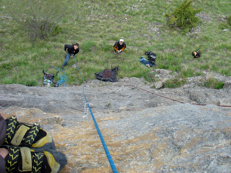
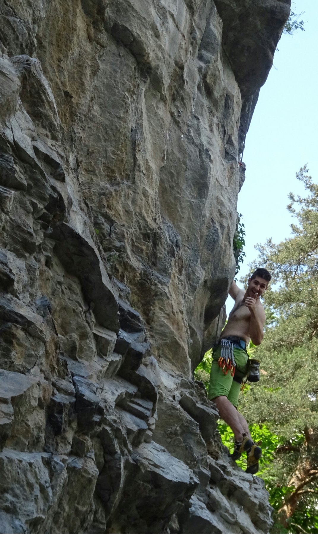
Presentazione: "Palestra creata a scopo prevalentemente didattico per i corsi estivi organizzati dalle guide alpine della valle, si affaccia lungo il versante sinistro della Val Chisone in un meraviglioso quadro alpino."
Così recita l'unica guida, di molti anni fa, dove è recensita questa piccola falesia.
Geologia: bancata rocciosa costituita prevalentemente da calcescisti a ad elevato tenore di calcite
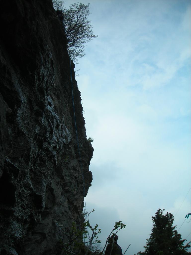
Avvicinamento
Così recita l'unica guida, di molti anni fa, dove è recensita questa piccola falesia.
Geologia: bancata rocciosa costituita prevalentemente da calcescisti a ad elevato tenore di calcite
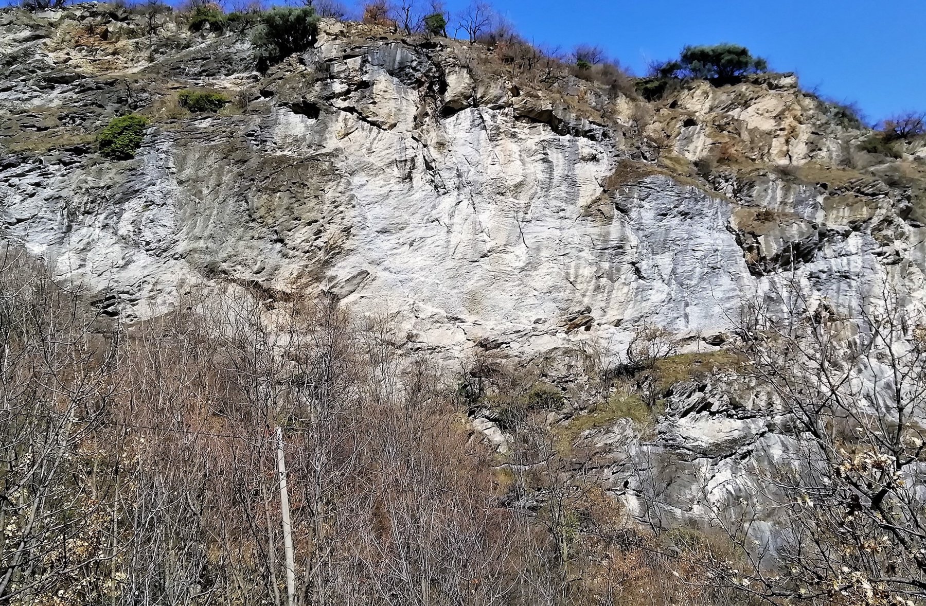
Parcheggio: in una piccola piazzola a monte delle case di Fraisse lungo la SR23 del Sestriere
Avvicinamento: dalle case di Fraisse imboccare un sentiero a fianco di un torrente, si nota una casetta in legno praticamente abbandonata, ad un certo punto si deve attraversare il torrente in corrispondenza di un grosso masso in mezzo all'alveo.
Da qui il sentiero è be evidente, lo si segue fino a quando svolta decisamente a destra in corrispondenza del cambio di versante (muretti a secco).
Si abbandona il sentiero e in piano si prosegue per una 50 di metri guardando verso Pragelato.
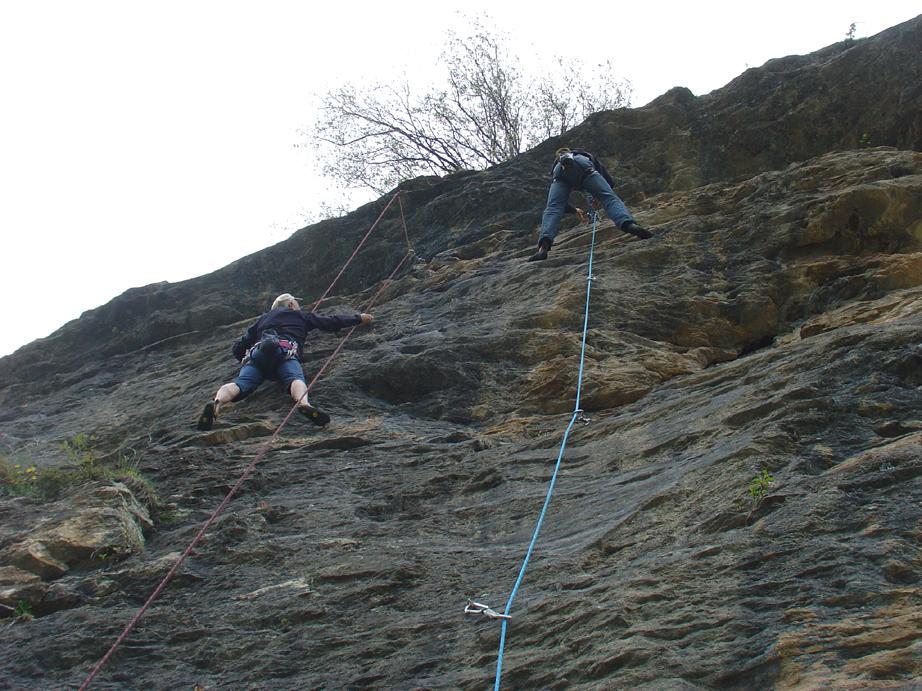
Descrizione
Avvicinamento: dalle case di Fraisse imboccare un sentiero a fianco di un torrente, si nota una casetta in legno praticamente abbandonata, ad un certo punto si deve attraversare il torrente in corrispondenza di un grosso masso in mezzo all'alveo.
Da qui il sentiero è be evidente, lo si segue fino a quando svolta decisamente a destra in corrispondenza del cambio di versante (muretti a secco).
Si abbandona il sentiero e in piano si prosegue per una 50 di metri guardando verso Pragelato.
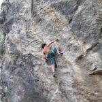
Itinerari:
01) gli Elfi 5°+
02) 7b 5°+
03) Alchitua 5°
04) Titti 5°+
05) Alchimia 6°
06) Sirius 5°
07) CH2O 5°
08) Zio Jek 5°+
09) Spigolo 5°
10) Flasch 5°
11) Tip 5°
12) Tap 3°+
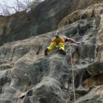
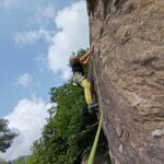
ATTENZIONE:
la falesia si trova in un sito monitorato e protetto a valle da reti paramassi.
La chiodatura è vecchia e obsoleta, prestare moltissima attenzione anche a quello che si tocca!!!
- Cartografia:
- IGC n°1 Val di Susa Chisone e Germanasca
- Bibliografia:
- Itinerari di arrampicata nelle Valli Chisone e Germanasca - Comunità Montana
Nelle vicinanze Mappa
Itinerari
02/10/2019 TO, Exilles 6a, 7c Sud-Est
Exilles – L’Edicola (Falesia)
8.6Km
01/11/2014 TO, Chiomonte 6a, 8c Sud-Est
Ramats (Falesia di)
9.4Km
30/09/2023 TO, Gravere 6b, 7b Sud
Gravere – Grosse Pietre (Falesia)
 10.6Km
13/07/2026 TO, Gravere 6a, 7c Nord-Est
Gravere – Grosse Pietre Vecchio Mulino (Falesia)
 10.7Km
15/06/2026 TO, Gravere 6a, 9a Nord
Gravere – Parete dei Cervi (Falesia)
 10.7Km
11/07/2026 TO, Giaglione 5a, 7a Sud-Ovest
Val Clarea – Gran Rotza (Falesia)
 11Km
11Km
12/10/2025 TO, Giaglione 5a, 7b Sud
Val Clarea – Greisun (Falesia del)
 11.1Km
18/09/2024 TO, Salbertrand 5a, 7b Sud-Est
Salbertrand – La Costa (Falesia)
 11.2Km
20/09/2025 TO, Giaglione 5a, 6b Sud
Val Clarea – Amici (Falesia degli)
 11.5Km
18/02/2023 TO, Gravere 6a, 7c Sud
Gravere – Pulpito (Falesia)
 11.8Km
Servizi
1.9Km
3.8Km
L’itialette Ristorante
Pragelato
4.5Km
Casa Assietta Rifugio
Pragelato
4.6Km
Il Nido dell’Aquila Ristorante
Usseaux
4.8Km
Edelweiss Ristorante
Usseaux
4.8Km
Casa Alpina Rifugio
Pragelato
4.8Km
Passet Ristorante
Pragelato
4.9Km
Casa degli Escartons Alex Berton B&B
Pragelato
5.5Km
Souvenir Rifugio
Usseaux
5.8Km