
Note
 50m
9.3Km
9.7Km
9.8Km
9.8Km
10.9Km
11.1Km
11.2Km
11.2Km
50m
9.3Km
9.7Km
9.8Km
9.8Km
10.9Km
11.1Km
11.2Km
11.2Km
La strada che porta al col de la Bonette in inverno è teoricamente chiusa da una barriera al ponte de la Combette (m.1650)ma in autunno e primavera molto spesso è aperta e si può proseguire fin dove si trova la neve.
Avvicinamento
Da Cuneo SS 20 per Borgo San Dalmazzo,poi SS 21 per il colle della Maddalena.Scendere in Francia lungo la D 900 fino a Jausier ,svoltare a sx e risalire la strada per il Col de la Bonette.
Descrizione
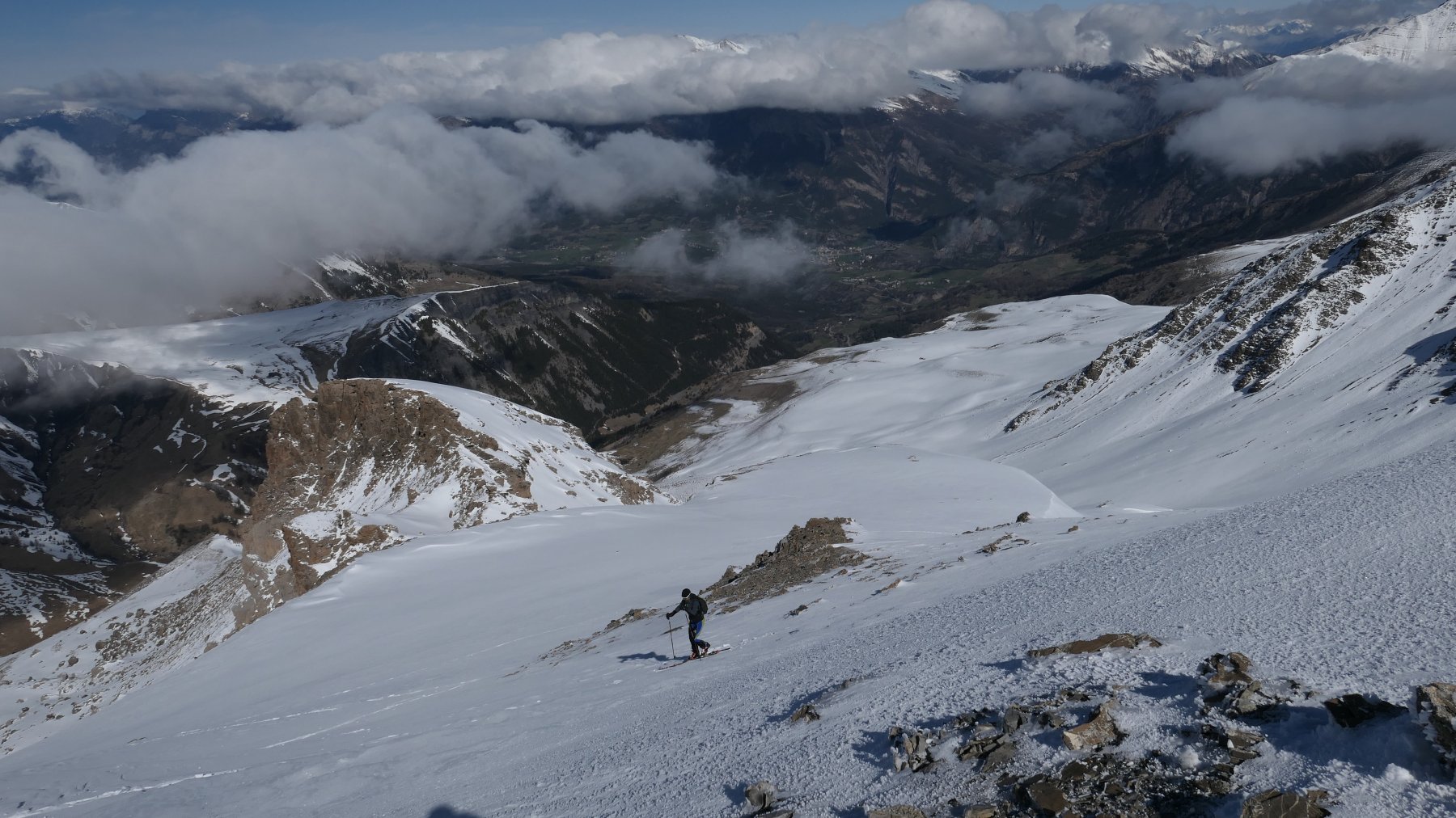
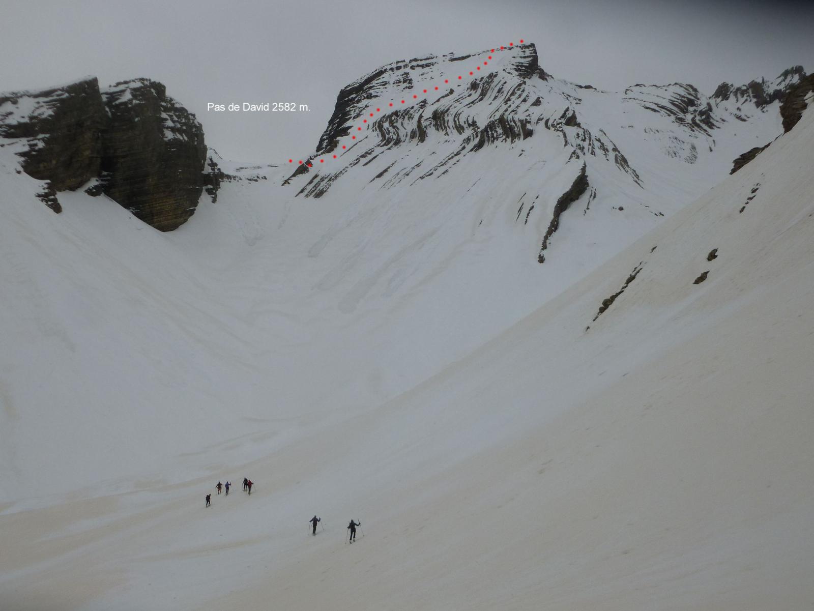
Dal parcheggio m.1950 situato prima della costruzione Halte 2000 risalire gli ampi prati vicino al Ravin de Gourret per portarsi verso i 2200 m. nel Vallon de Combe Noire situato tra i contrafforti della Roche Ronde e lo scosceso versante Sud de Le Gerbier e risalirlo puntando al colle m.2600 su pendio abbastanza ripido.Proseguire poi su facile dorsale fino alla panoramica cima.Discesa per l’itinerario di salita.In alternativa si può anche salire da m.2450 un pendio canale che si incunea fra i massi del versante Nord per uscire sulla cresta Ovest e da lì in cima .
- Cartografia:
- I.G.N.3639 OT
- Bibliografia:
- Toponeige Ubaye itin.H5
Nelle vicinanze Mappa
Itinerari
27/04/2019 Alpes-de-Haute-Provence, Jausiers D+ 812 m BS Nord-Ovest
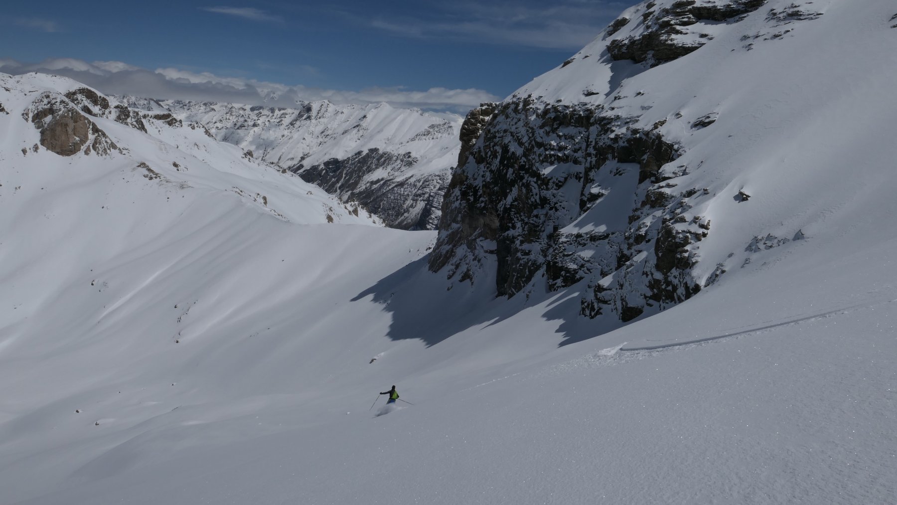
Mourre Haut (le) dalla strada del col de la Bonette per il versante NO
 50m
50m
06/01/2013 Alpes-de-Haute-Provence, Enchastrayes D+ 1157 m BS Nord-Ovest
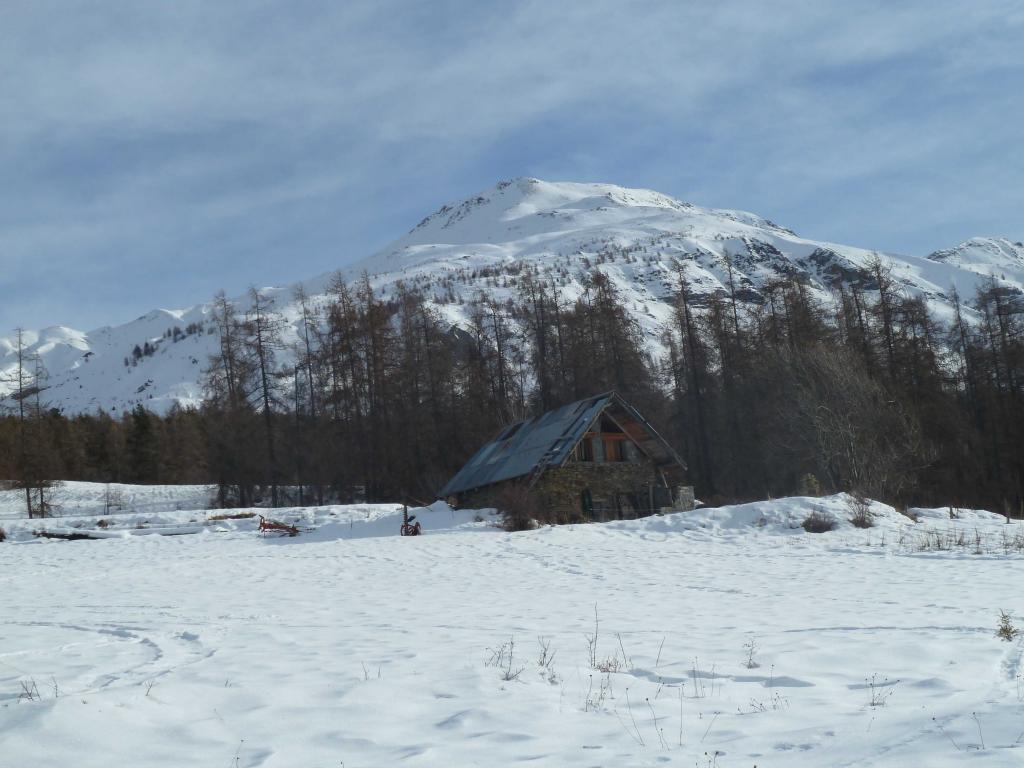
Alpe (Croix dell’) da Villard de Faucon
 9.3Km
9.3Km
25/02/2024 Alpes-de-Haute-Provence, La Condamine-Châtelard D+ 1121 m BS Nord-Est
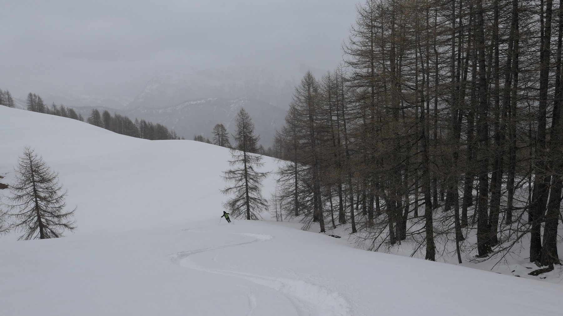
Fine (Pointe) da le Villard-Haut per le Vallon de Bachasse
 9.7Km
9.7Km
08/02/2020 Alpes-de-Haute-Provence, La Condamine-Châtelard D+ 1468 m BS Nord-Est
Crouès (Tête) da le Villard-Haut per le Vallon de Bachasse
 9.8Km
9.8Km
01/01/2025 Alpes-de-Haute-Provence, La Condamine-Châtelard D+ 1412 m BS Nord-Est
Fin Fond (Tete de) da Villard Haut per le Vallon de Bachasse
 9.8Km
9.8Km
12/11/2010 Alpes-Maritimes, Saint-Dalmas-le-Selvage D+ 1100 m BS Sud-Ovest
Pebrun (Monte) o Pel Brun da Bousiéyas
10.2Km
24/04/2023 Alpes-de-Haute-Provence, Enchastrayes D+ 985 m MS Nord
Gendarme (Chapeau du) da le Super Sauze
 10.9Km
20/04/2019 Alpes-de-Haute-Provence, Uvernet-Fours D+ 1200 m BSA Varie
Pelat (Mont) dal vallon de la Grande Cayolle ed il versante sud
 11.1Km
02/01/2019 Alpes-de-Haute-Provence, Val-d'Oronaye D+ 1200 m BS Varie
Duyère (Crète de la) da Certamussat per il Vallon de la Duyère
 11.2Km
21/04/2014 Alpes-de-Haute-Provence, Val-d'Oronaye D+ 1350 m BSA Nord
Coin de l’Ours (Tête du) da Certamussat per il Vallon Long
 11.2Km



