9.4Km
9.4Km
Note
 50m
150m
2.8Km
3.3Km
3.4Km
3.5Km
3.6Km
3.7Km
3.7Km
3.8Km
50m
150m
2.8Km
3.3Km
3.4Km
3.5Km
3.6Km
3.7Km
3.7Km
3.8Km
9.4Km
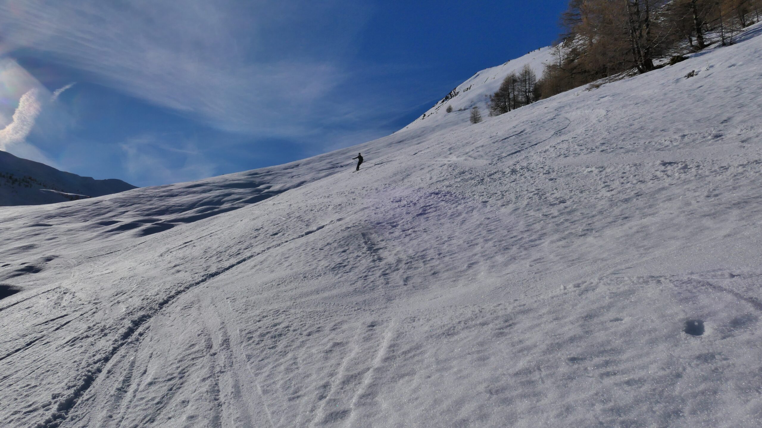
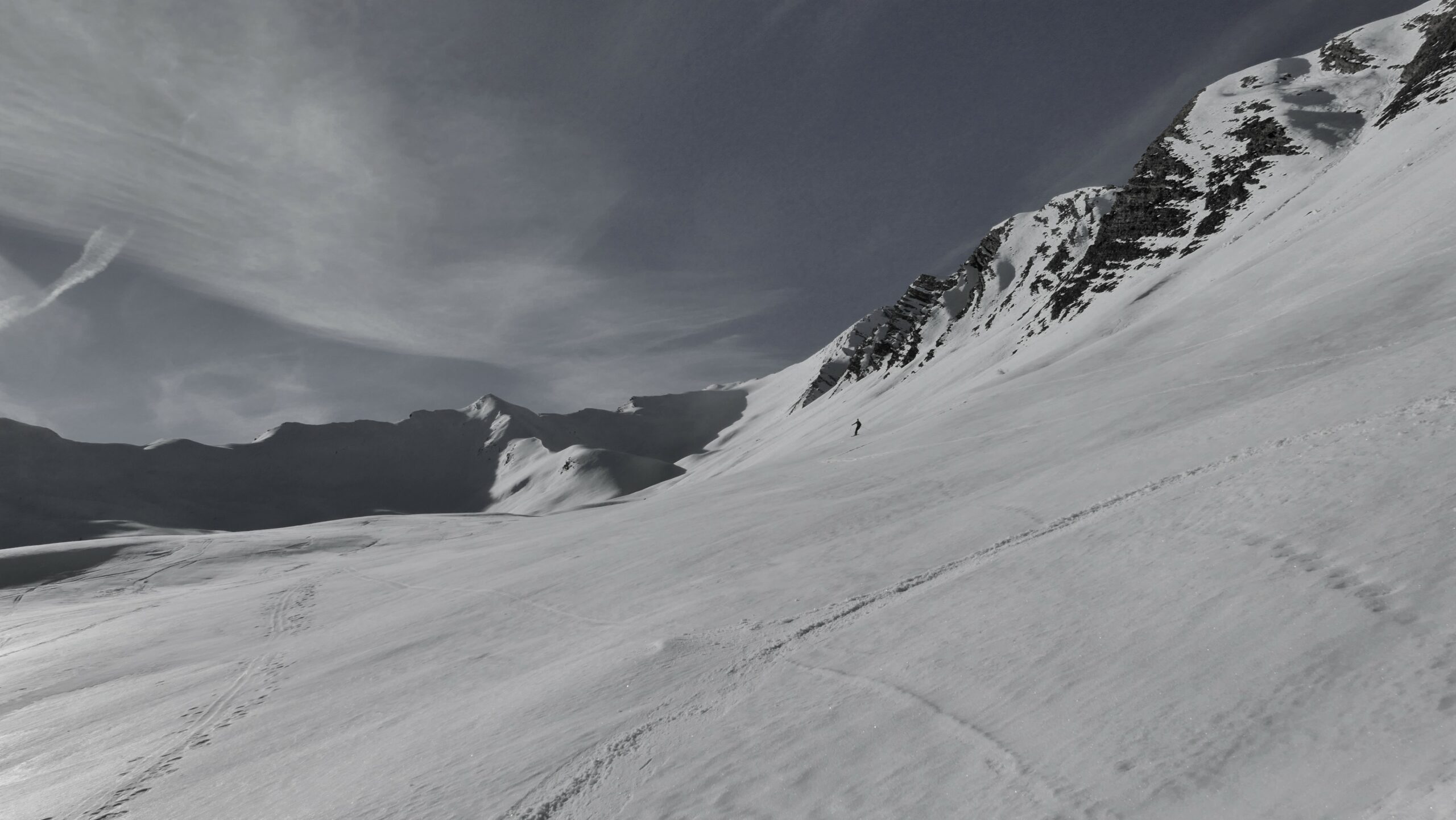
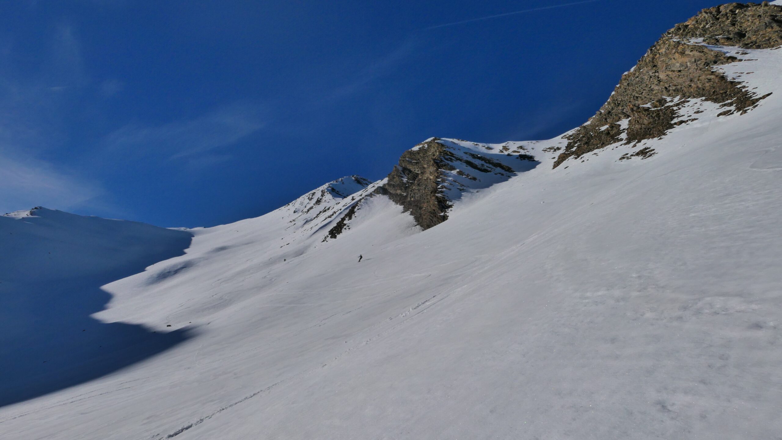
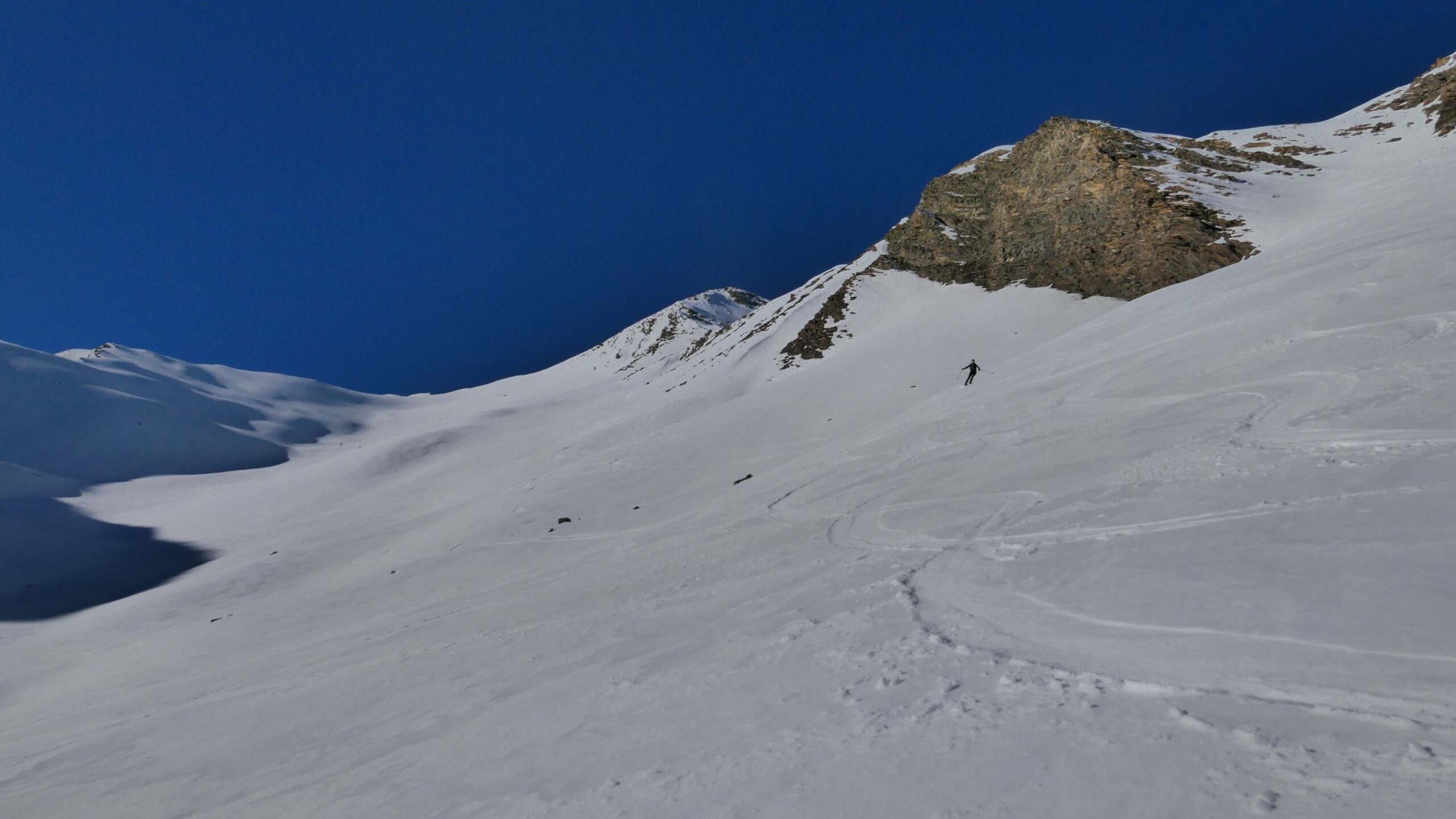
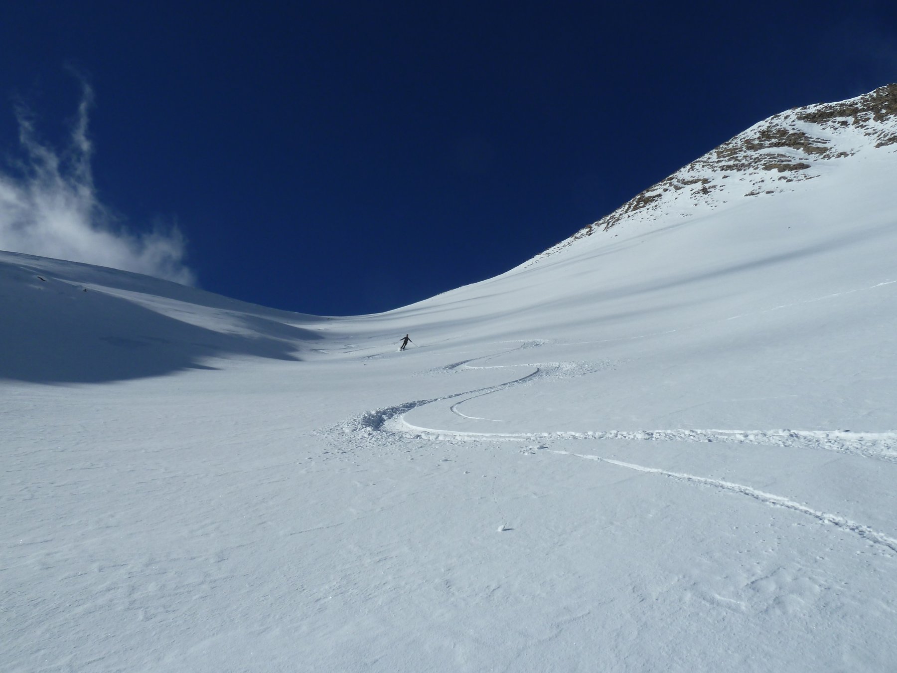
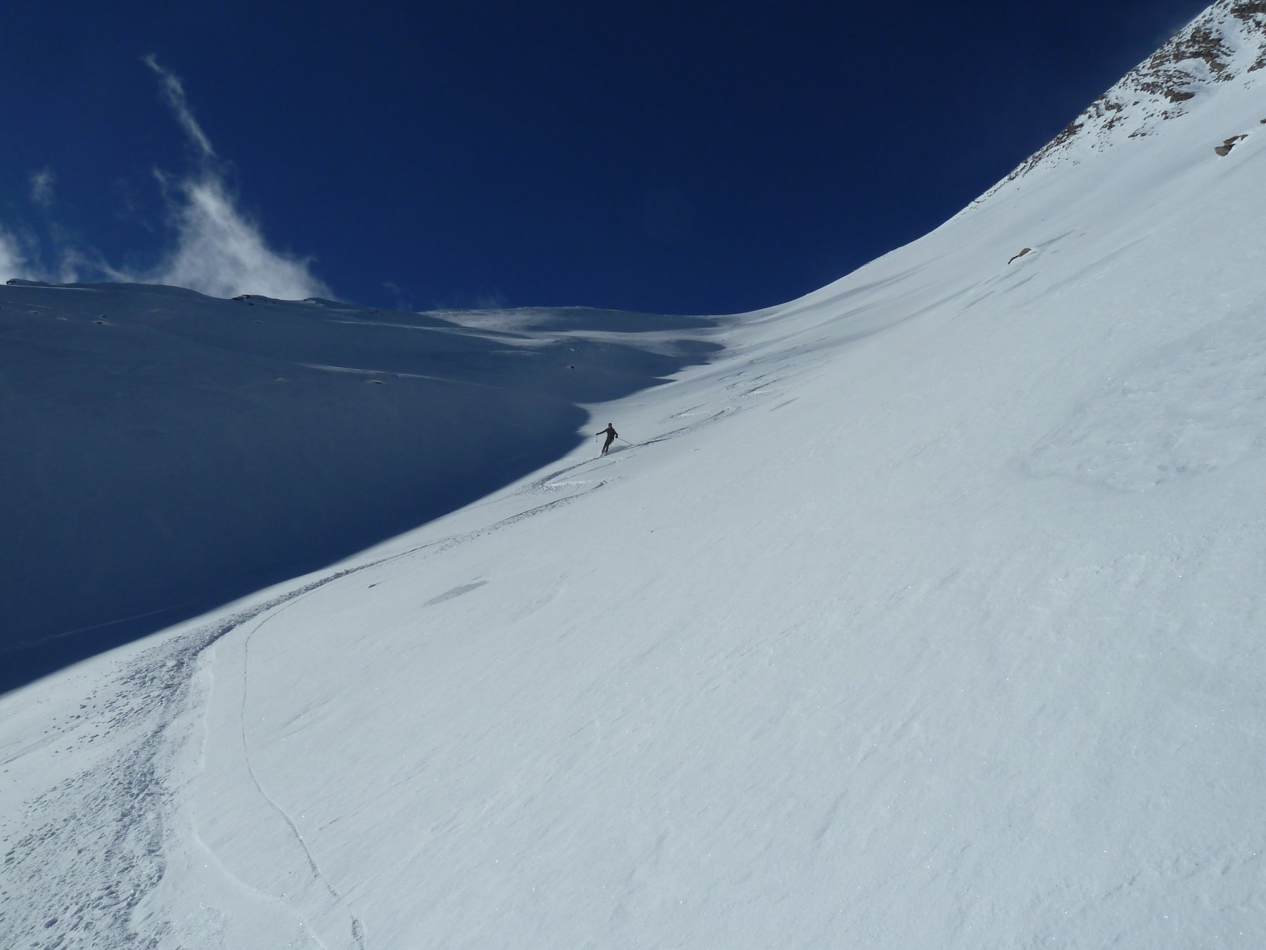
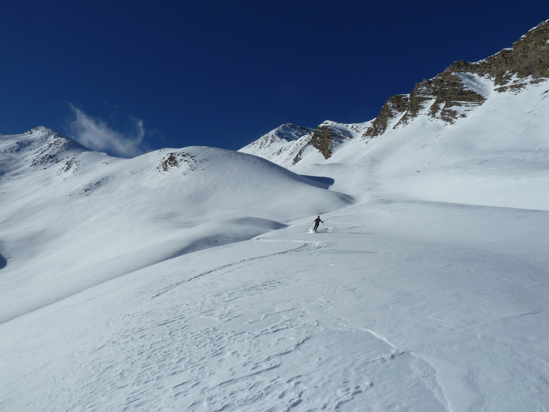
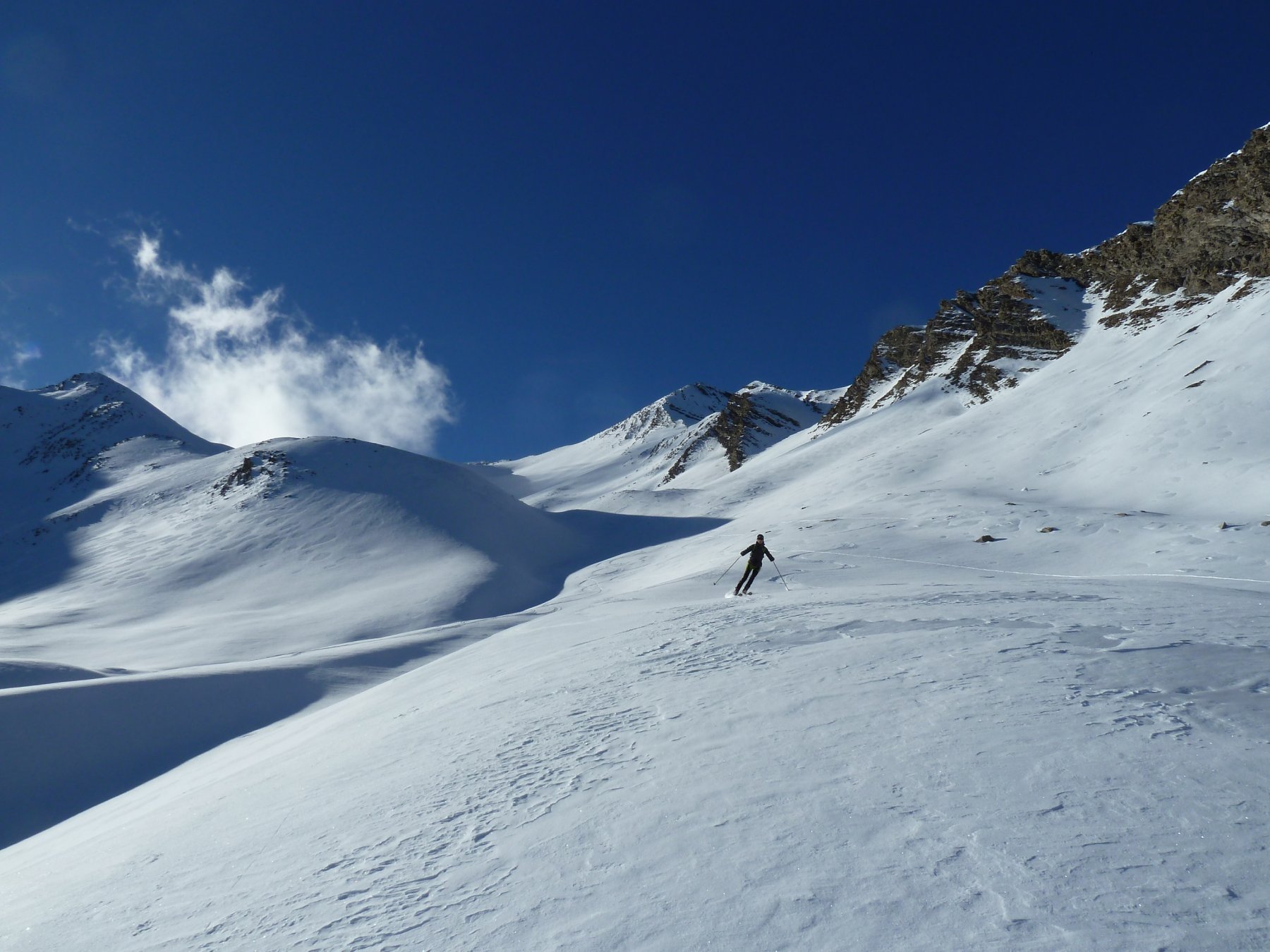
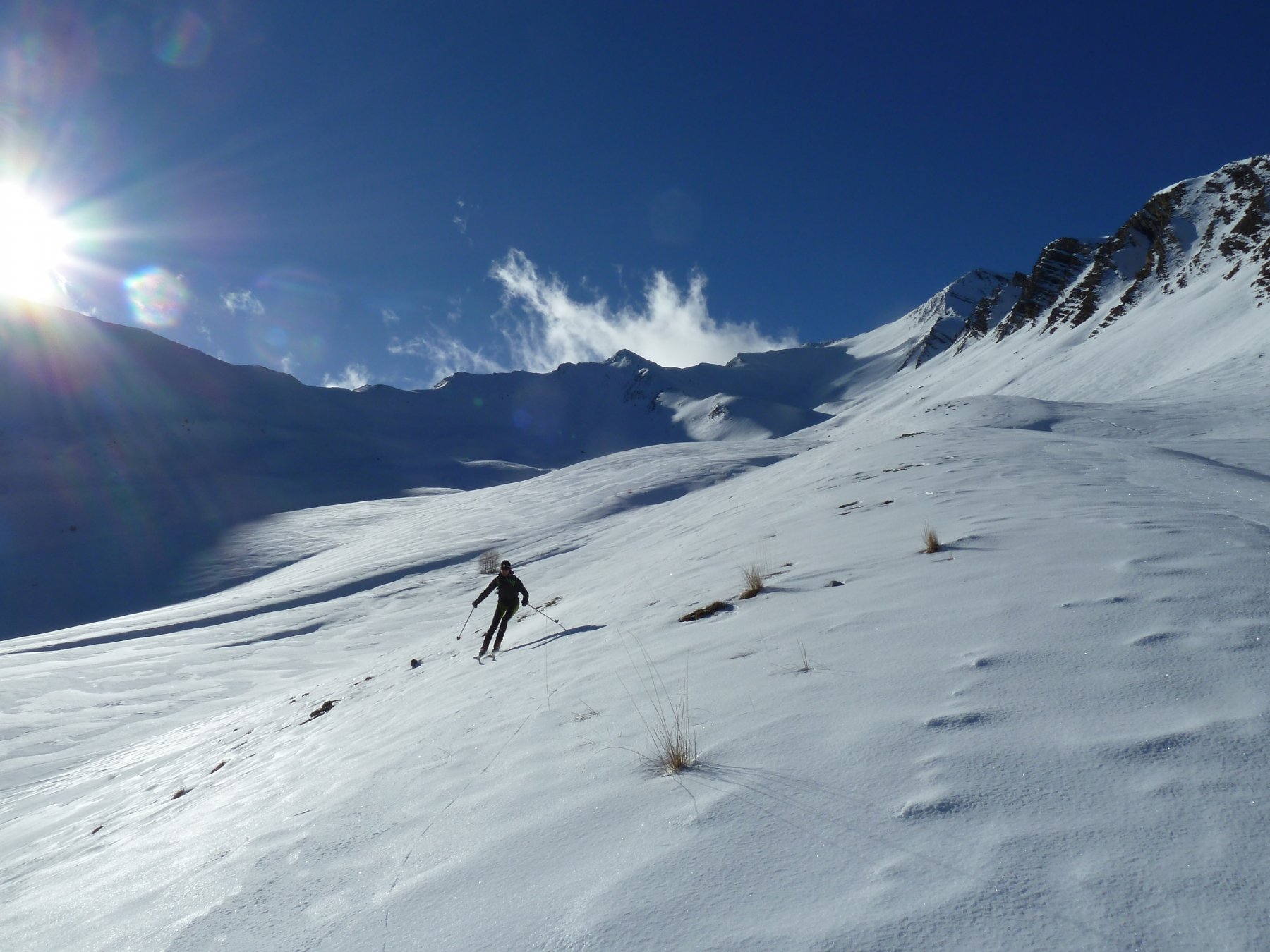
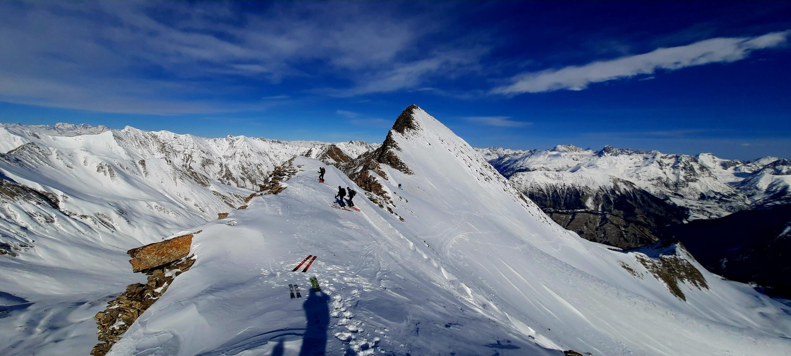
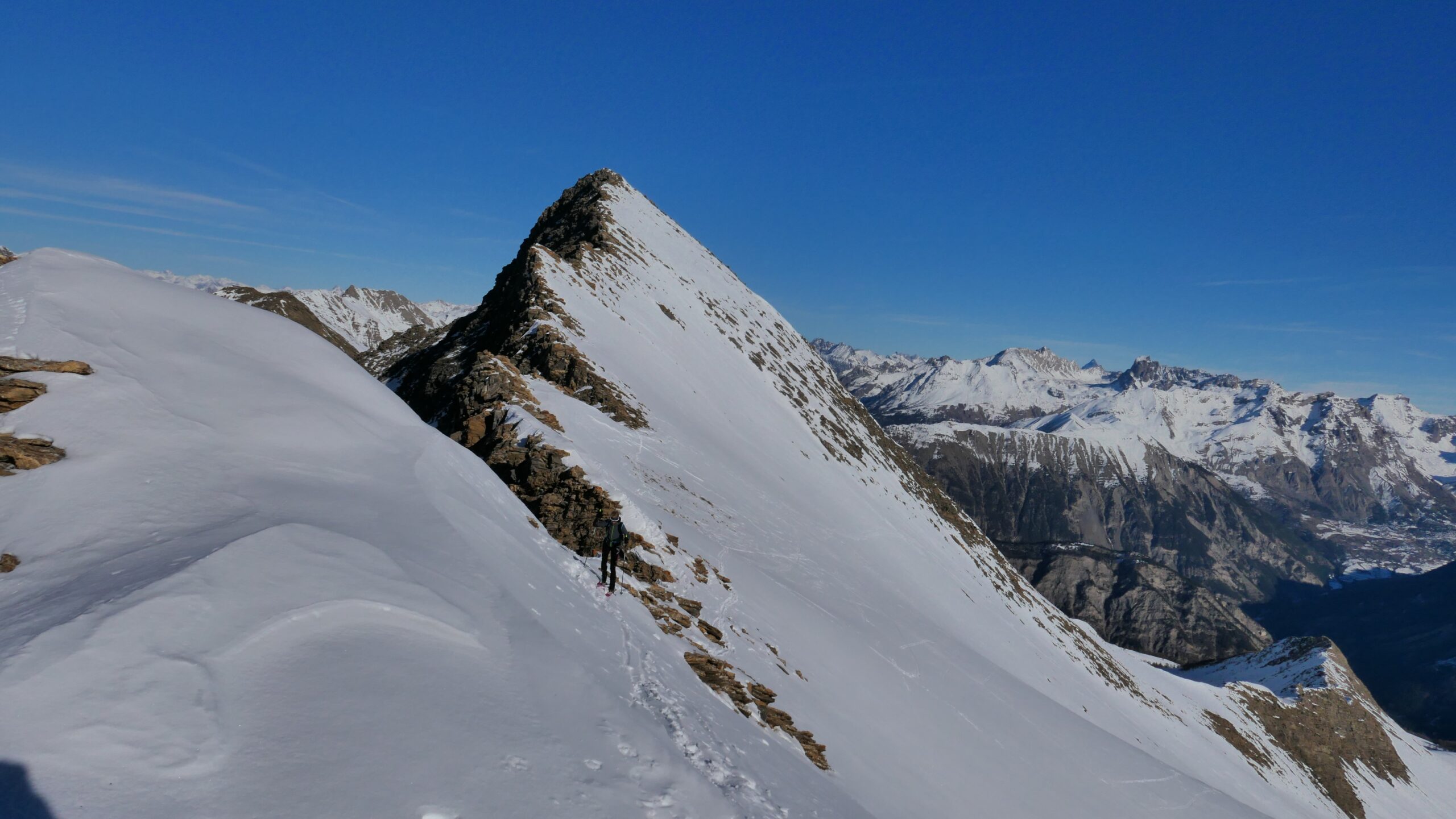
Itinerario che sfruttando la bella strada nella parte bassa permette di raggiungere le Vallon de Bachasse da dove è possibile effettuare tre itinerari: Pointe Fine - Tête de Fin Fond e Tête de Croues.
Avvicinamento
.
Descrizione
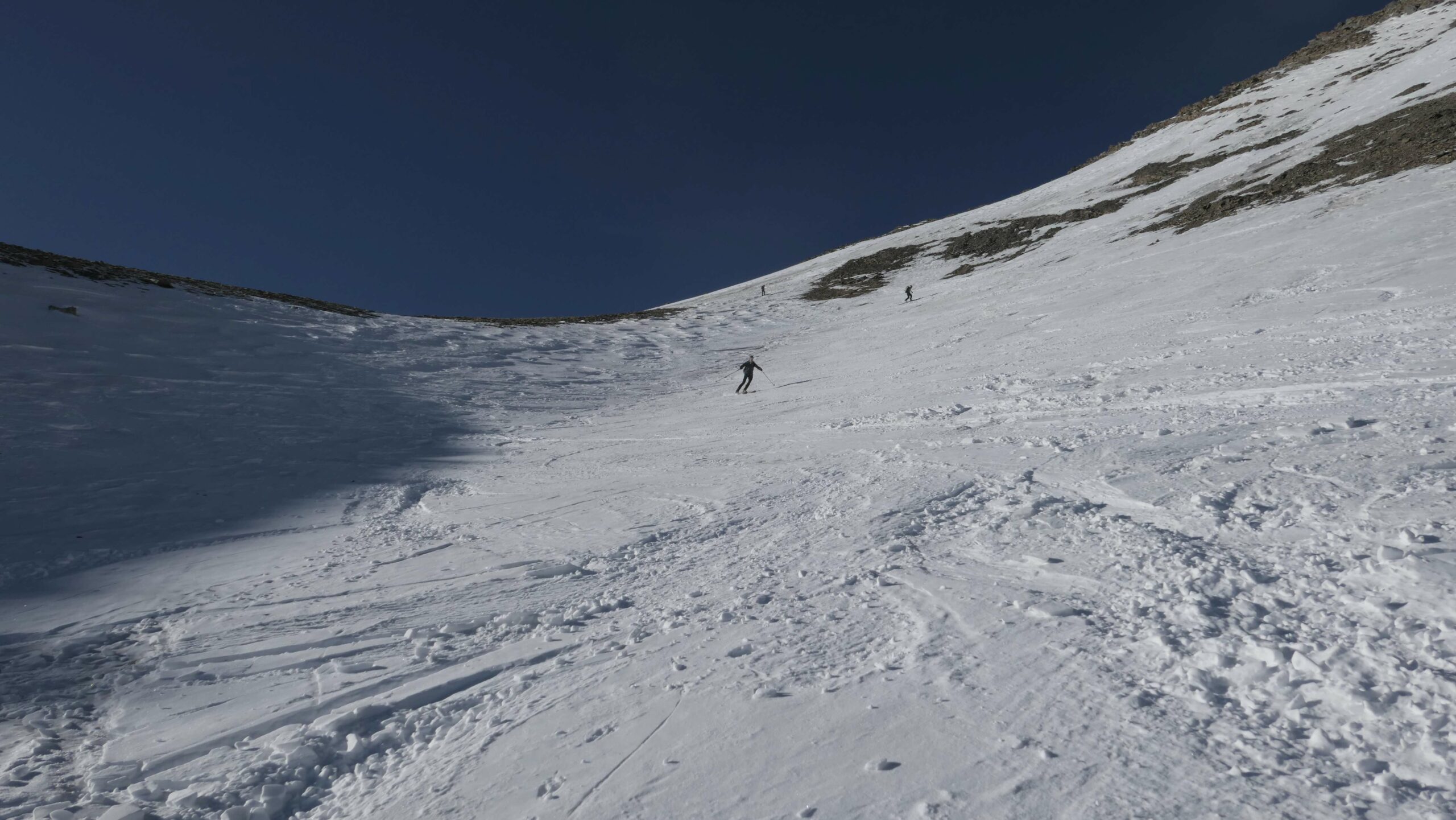
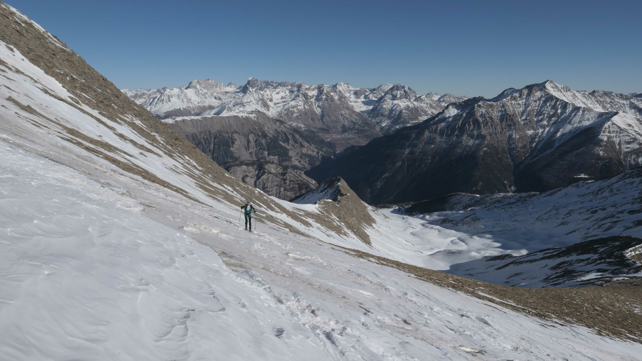
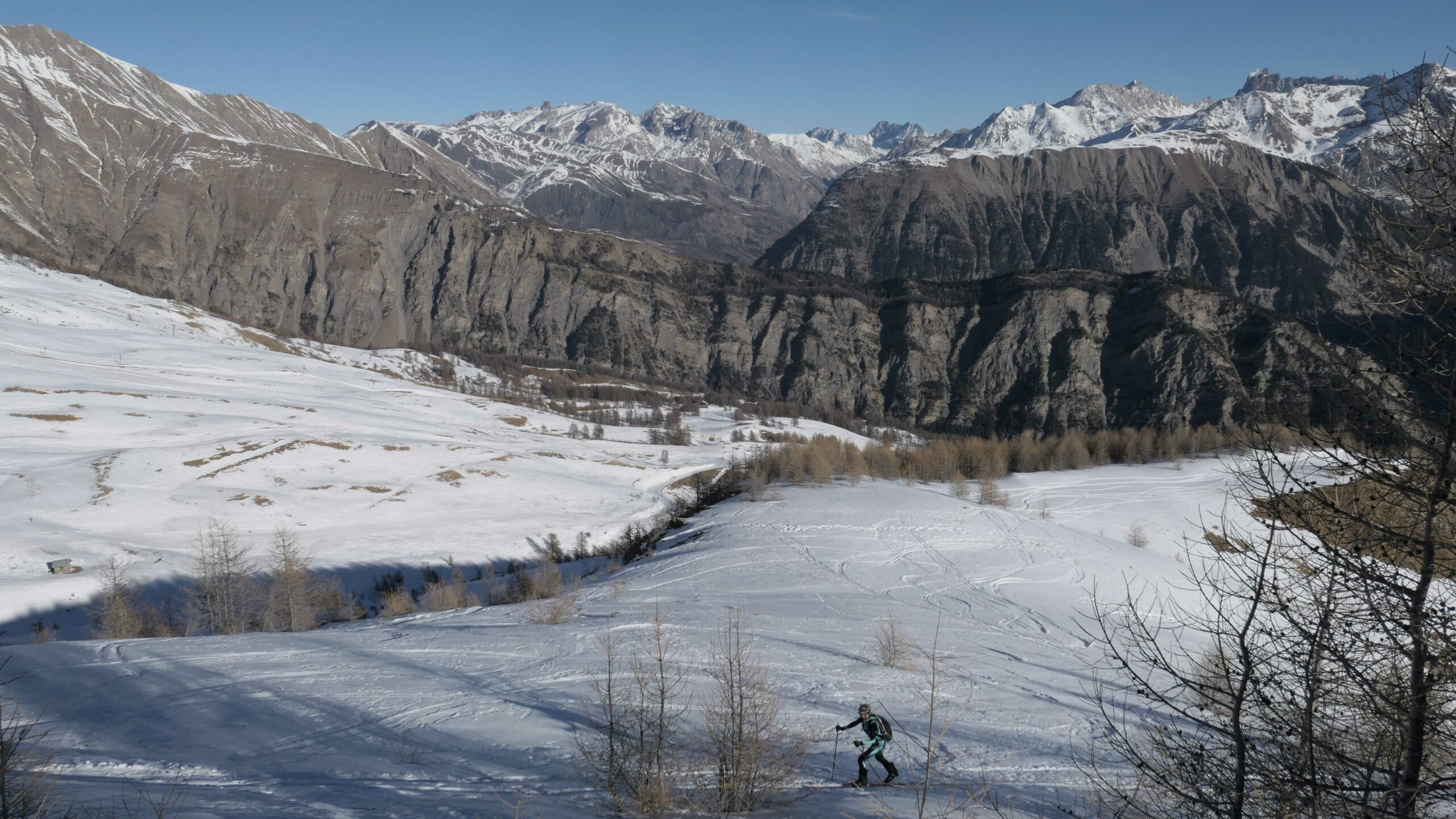
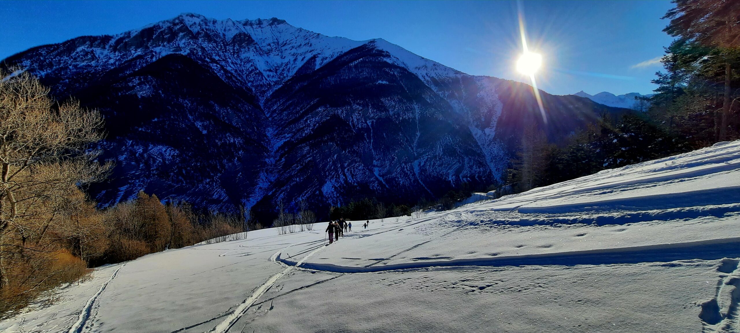
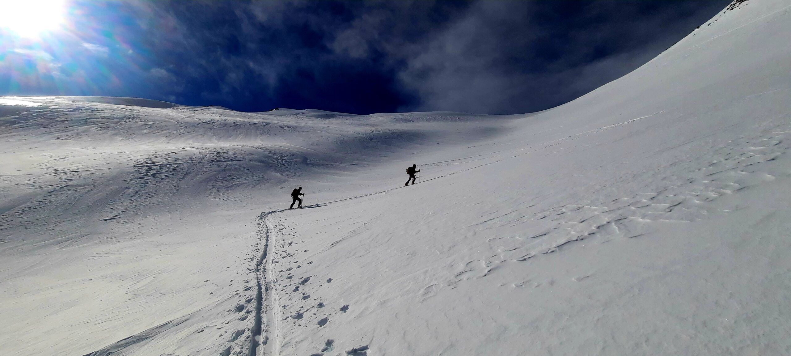
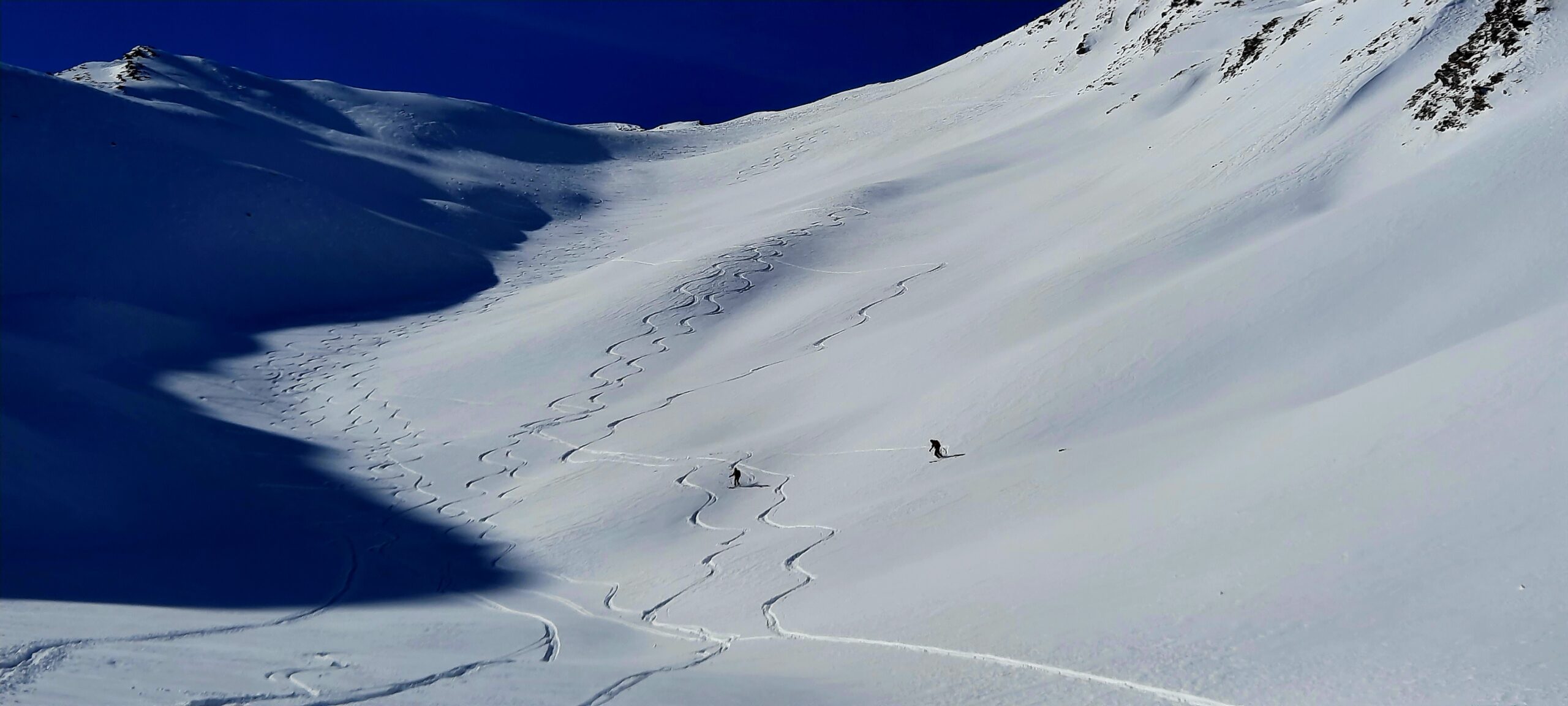
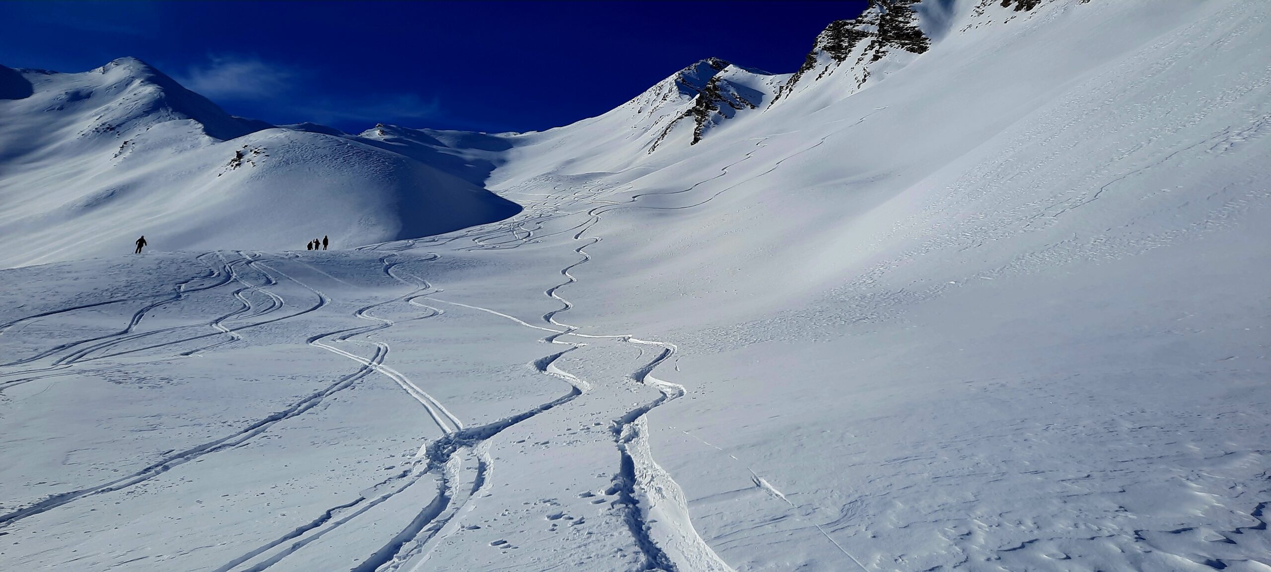
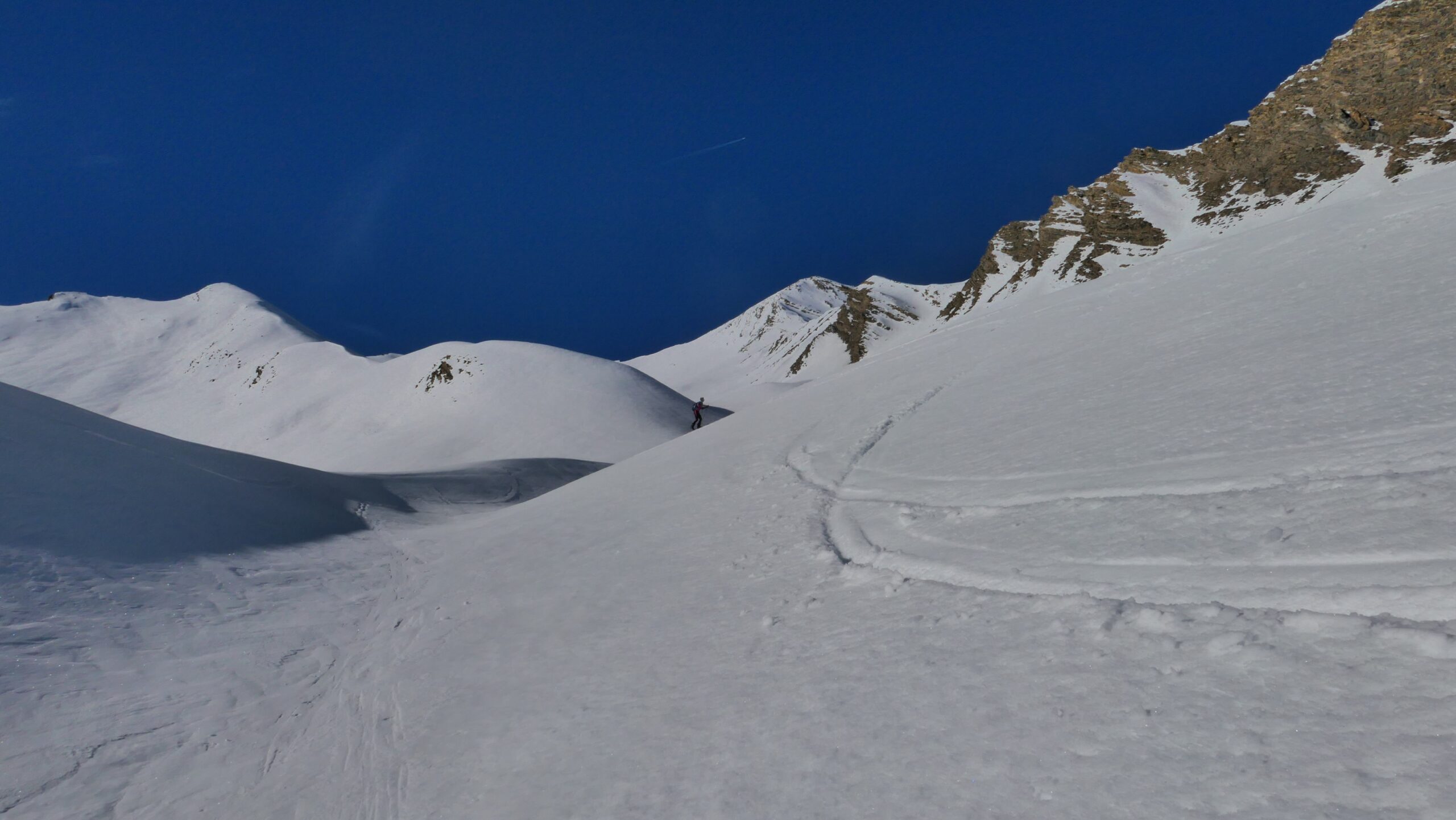
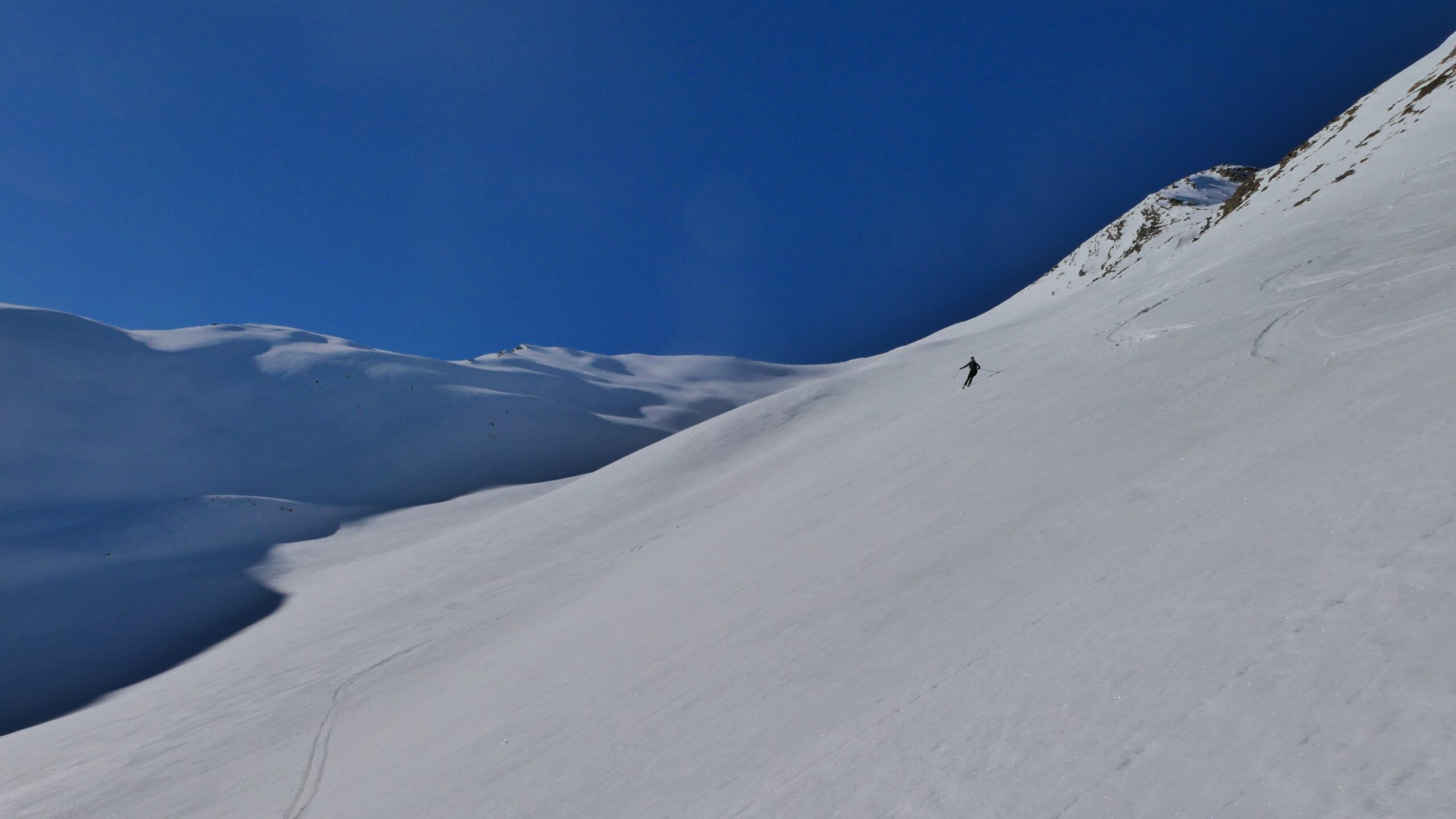
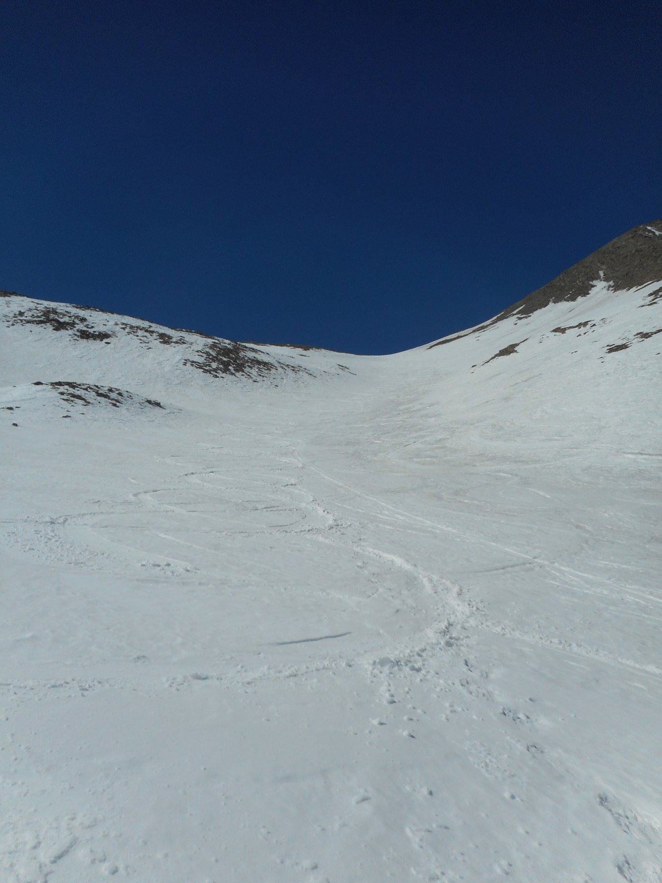
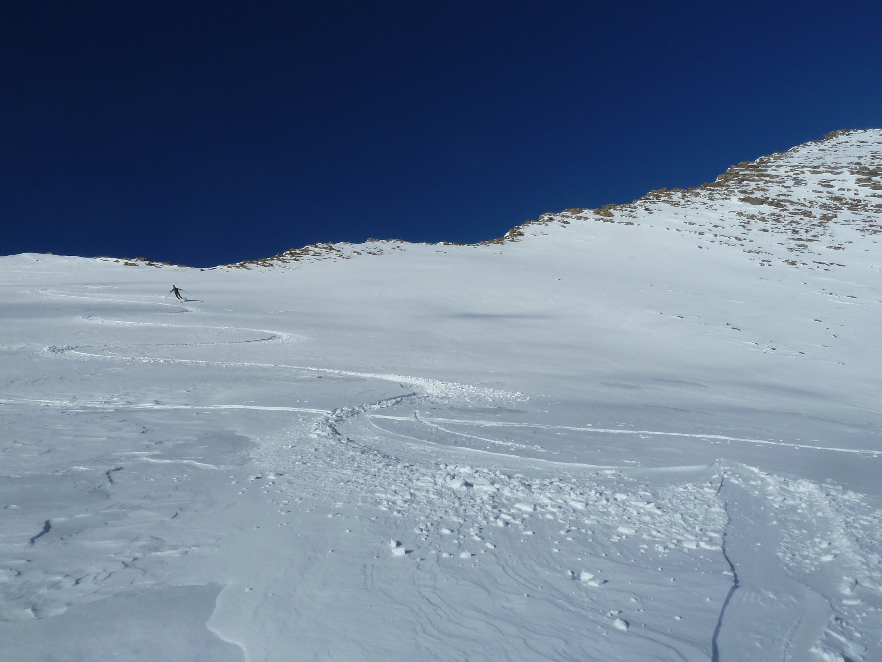
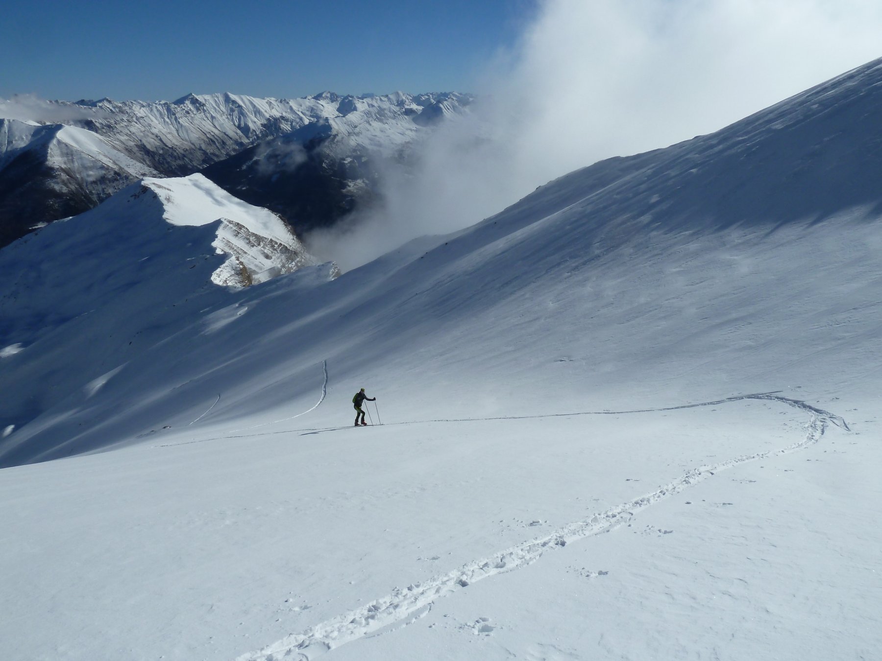
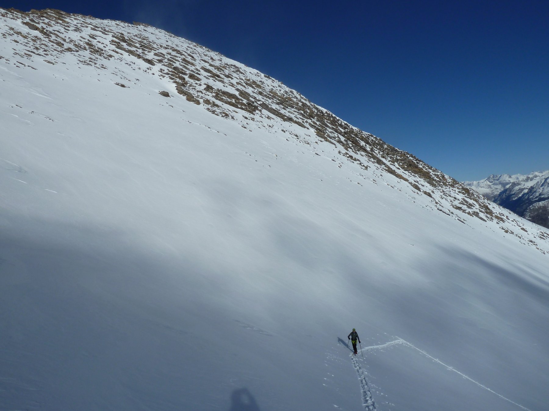
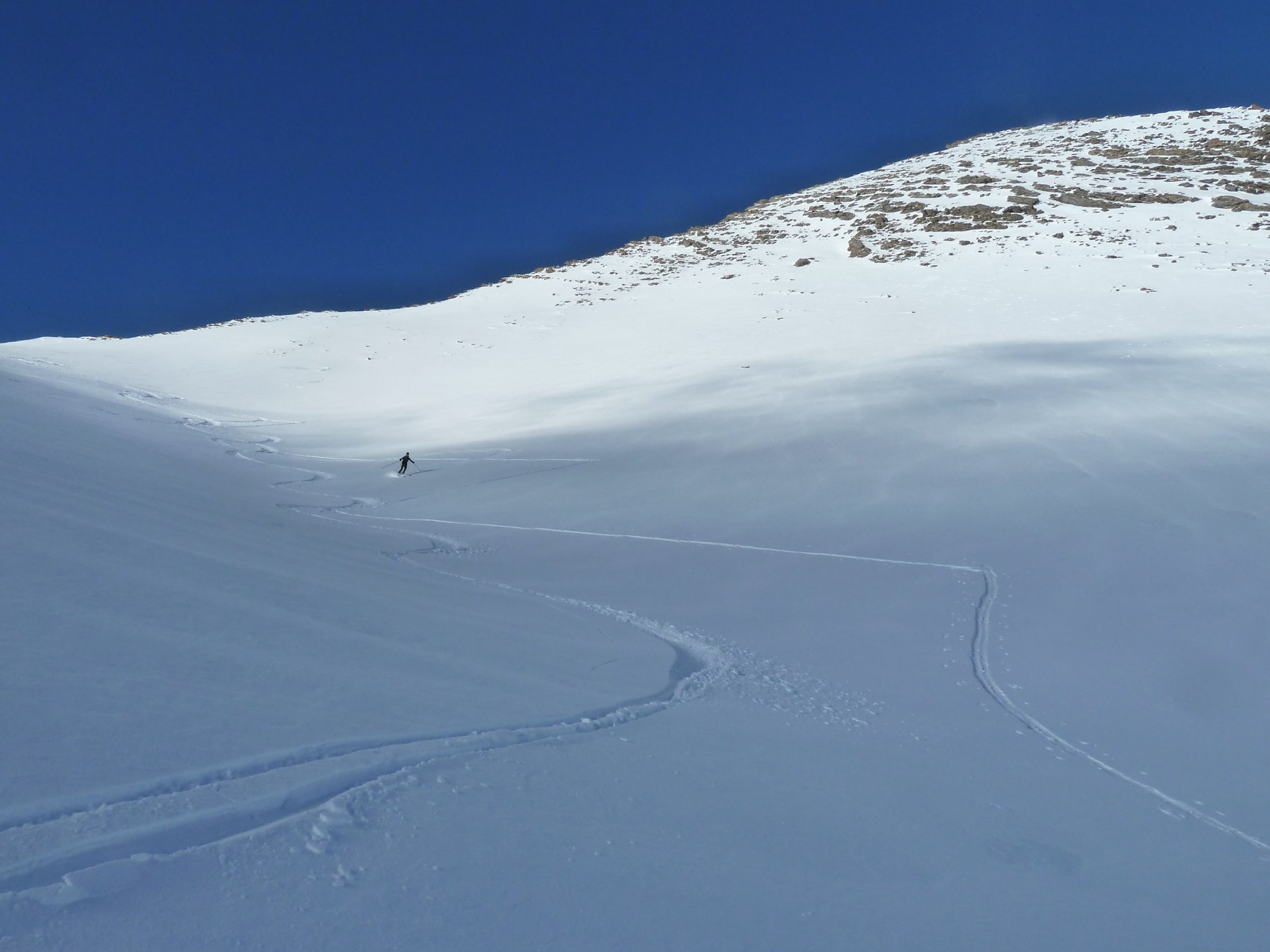
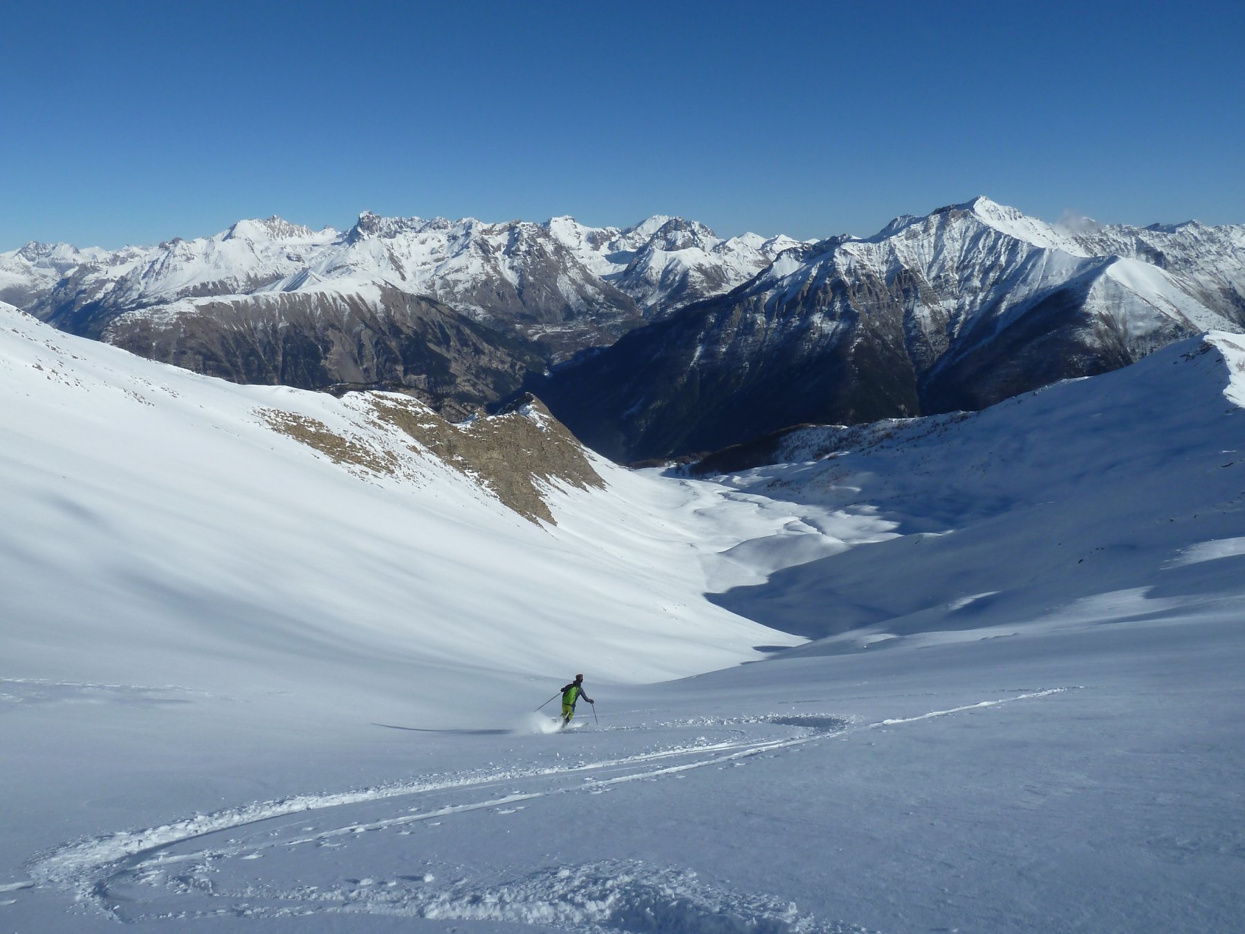
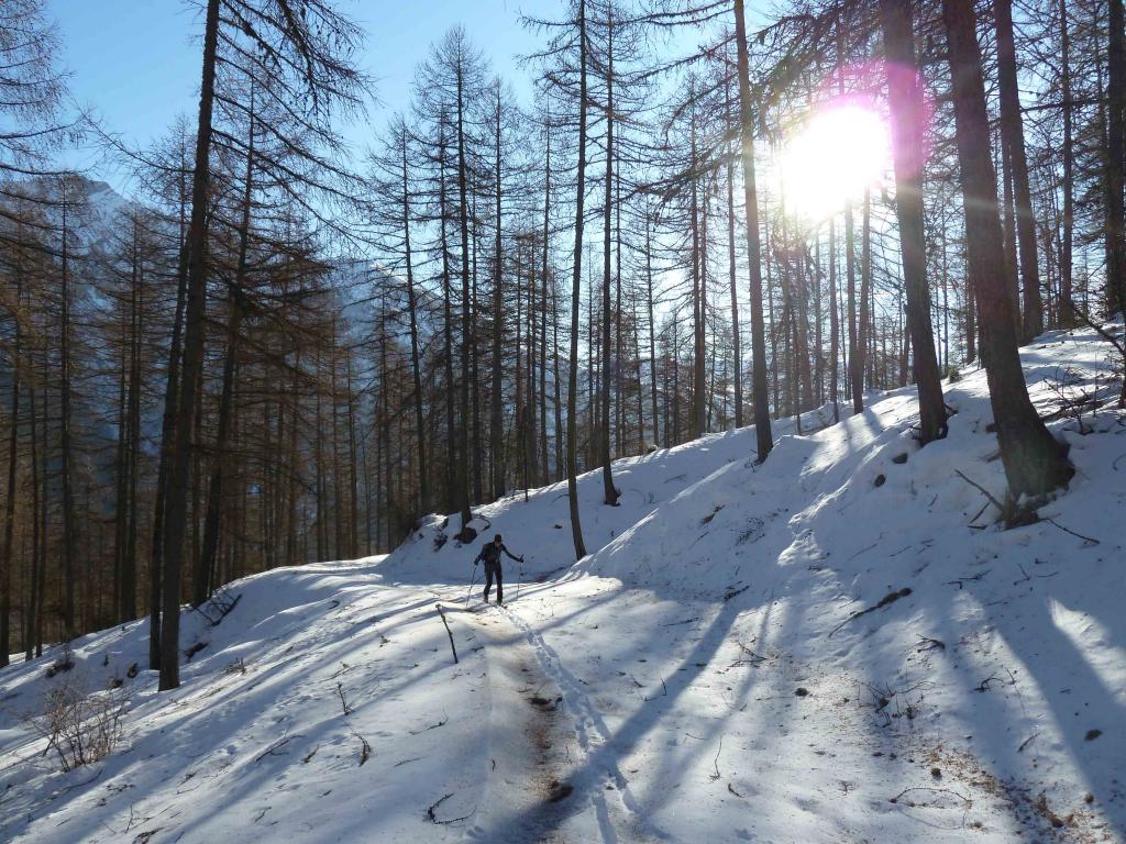
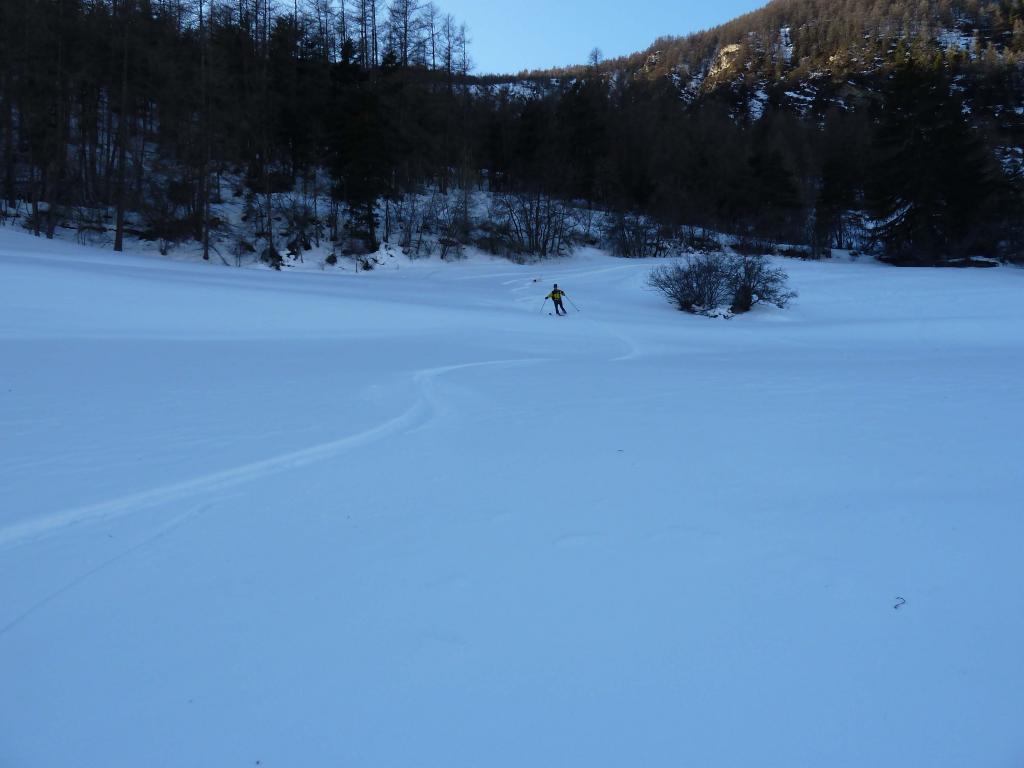
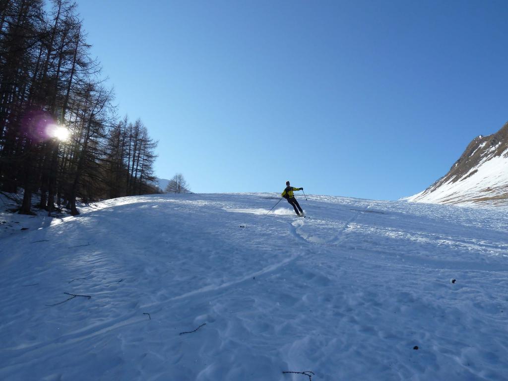
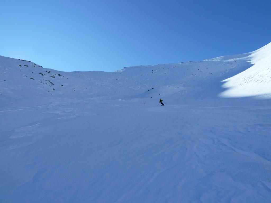
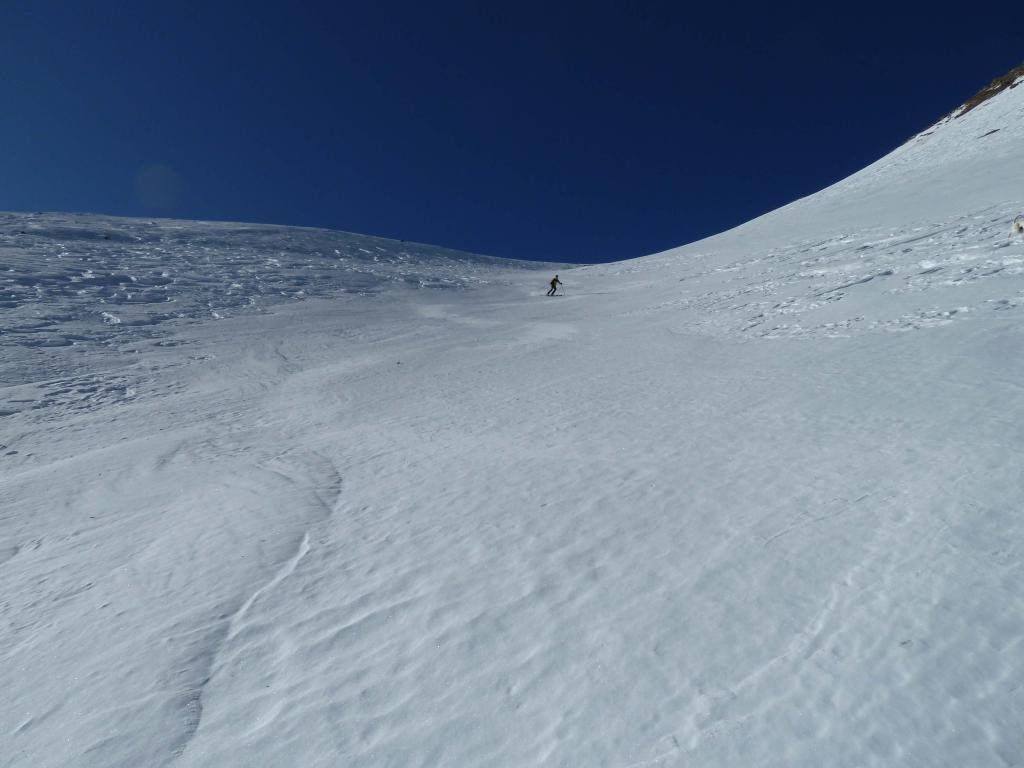
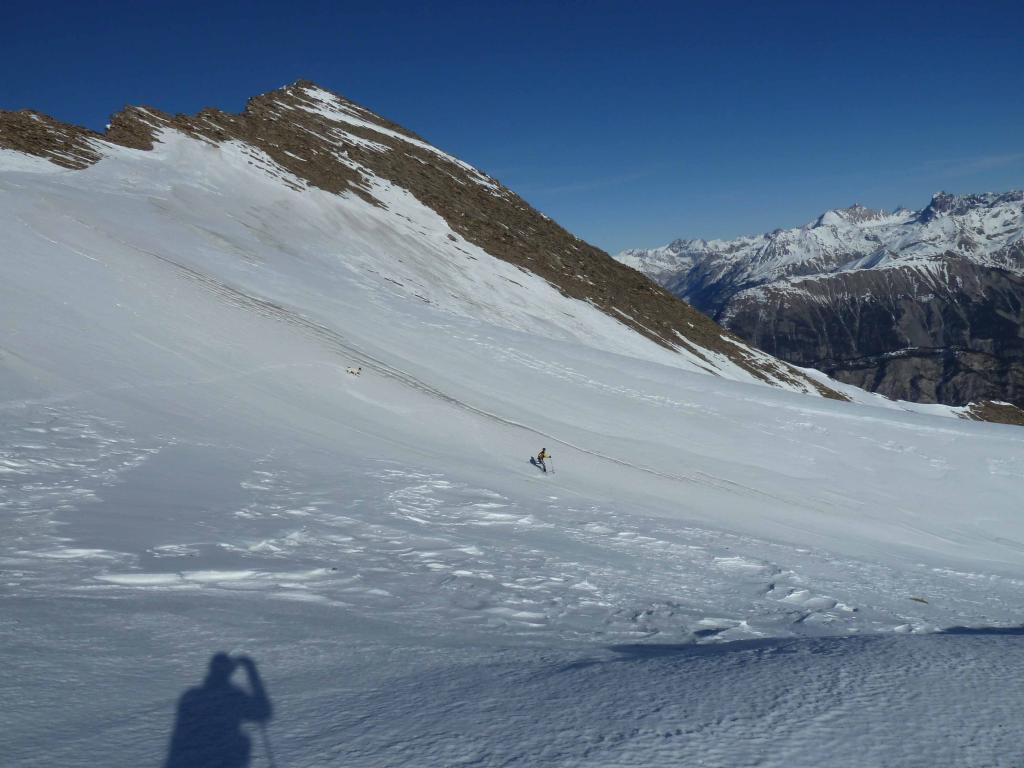
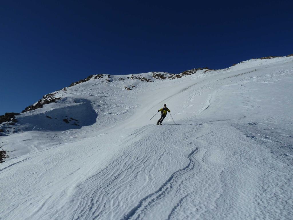
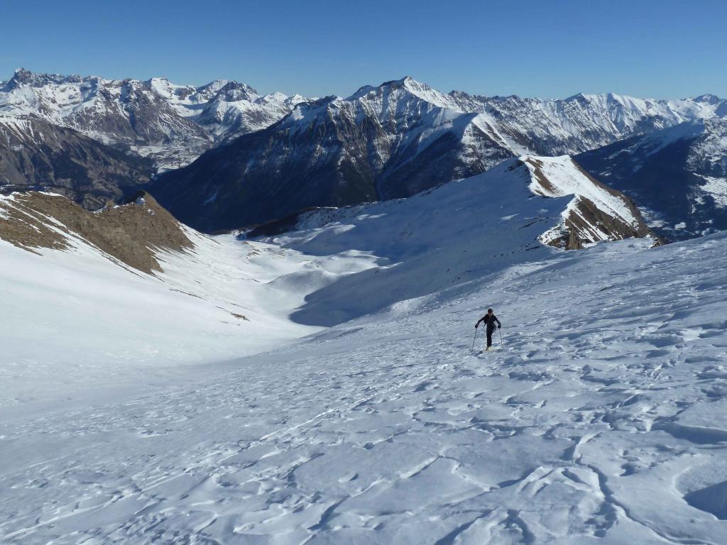
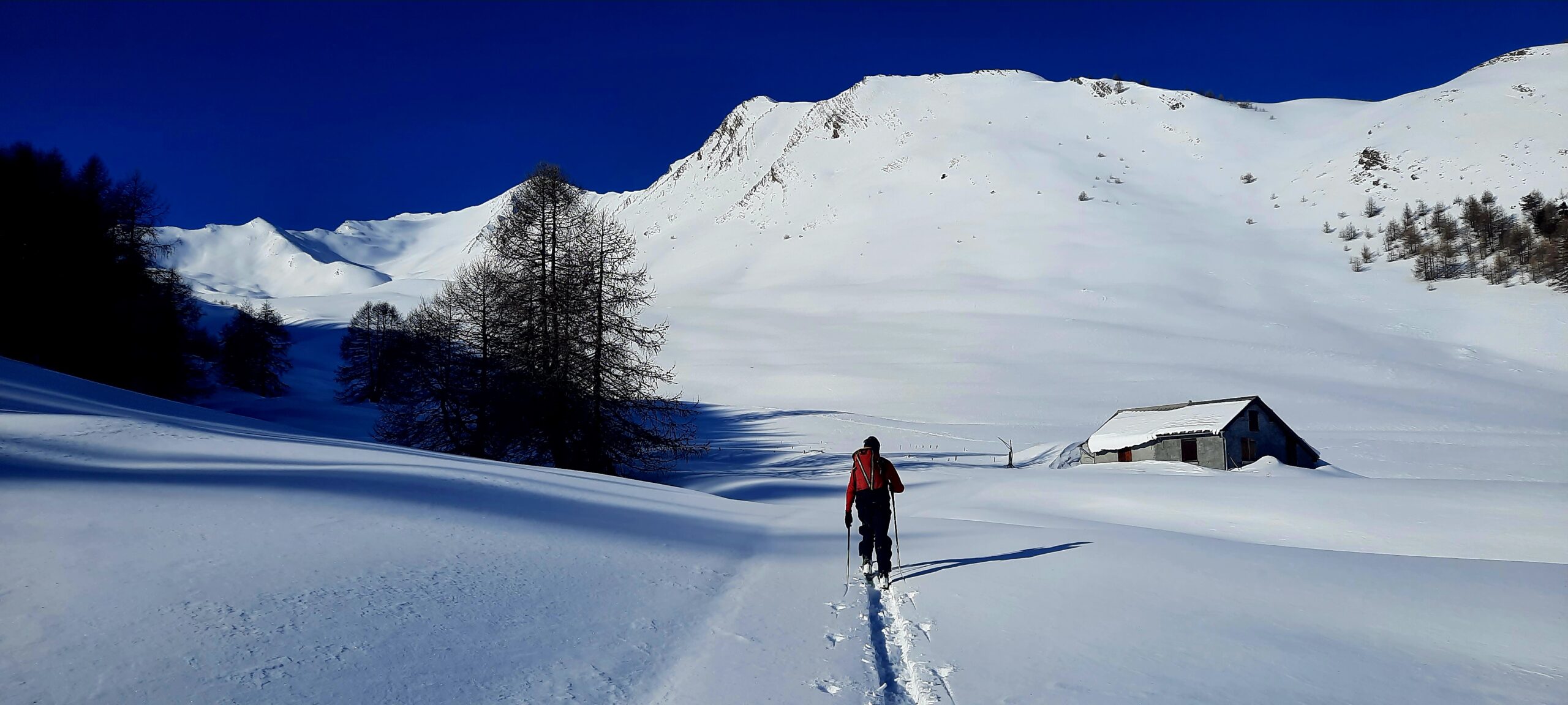
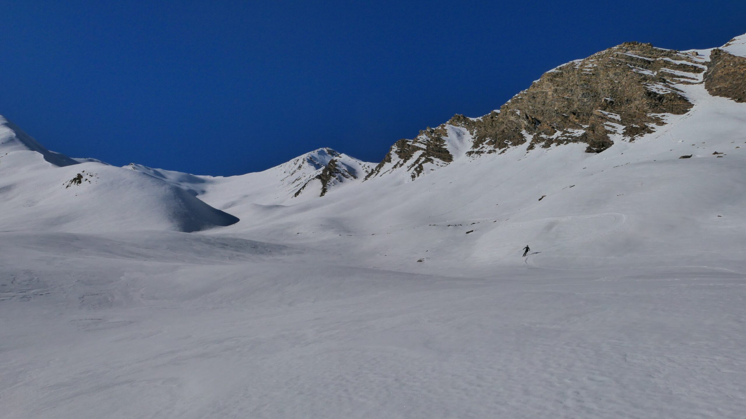
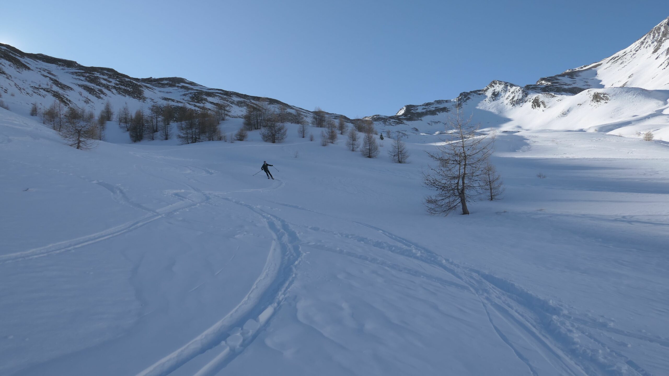
Da Villard-Haut si segue il tracciato della sterrata che sale alle spalle delle cascine tagliando l’ampio tornante a monte dei casolari (m.1520).Si ritorna a seguire la stradina nel bellissimo lariceto che con pochi tornanti permette di raggiungere la radura quota m.1895. Di qui svoltando a sx seguire una traccia di sentiero che conduce all’imbocco del vallone “Torrent de Bachasse”. Percorrere verso ovest l’ampio vallone che verso quota m.2500 si restringe e diventa più ripido. Prima di raggiungere il colletto quota m.2865 deviare leggermente a sx per raggiungere sci ai piedi la cima.
- Cartografia:
- IGN 3538
- Bibliografia:
- Ed.Blu J.C. Campana - Itin. nr. 89/90
Nelle vicinanze Mappa
Itinerari
08/02/2020 Alpes-de-Haute-Provence, La Condamine-Châtelard D+ 1468 m BS Nord-Est
Crouès (Tête) da le Villard-Haut per le Vallon de Bachasse
 50m
50m
25/02/2024 Alpes-de-Haute-Provence, La Condamine-Châtelard D+ 1121 m BS Nord-Est
Fine (Pointe) da le Villard-Haut per le Vallon de Bachasse
 150m
150m
30/12/2024 Alpes-de-Haute-Provence, La Condamine-Châtelard D+ 1128 m BSA Est
Crouès (Tète de) da Sainte Anne la Condamine, anello valloni Crouès-Bachasse
 2.8Km
2.8Km
27/01/2024 Alpes-de-Haute-Provence, La Condamine-Châtelard D+ 1100 m MS Est
Plastres (les) da Sainte Anne la Condamine
 3.3Km
3.3Km
04/01/2024 Alpes-de-Haute-Provence, La Condamine-Châtelard D+ 853 m MS Est
Arpillon (l’) da Sainte Anne la Condamine
 3.4Km
3.4Km
22/02/2025 Alpes-de-Haute-Provence, La Condamine-Châtelard D+ 967 m MS Est
Mastretes (les) da Sainte Anne la Condamine
 3.5Km
3.5Km
18/01/2025 Alpes-de-Haute-Provence, La Condamine-Châtelard D+ 1232 m BS Nord-Est
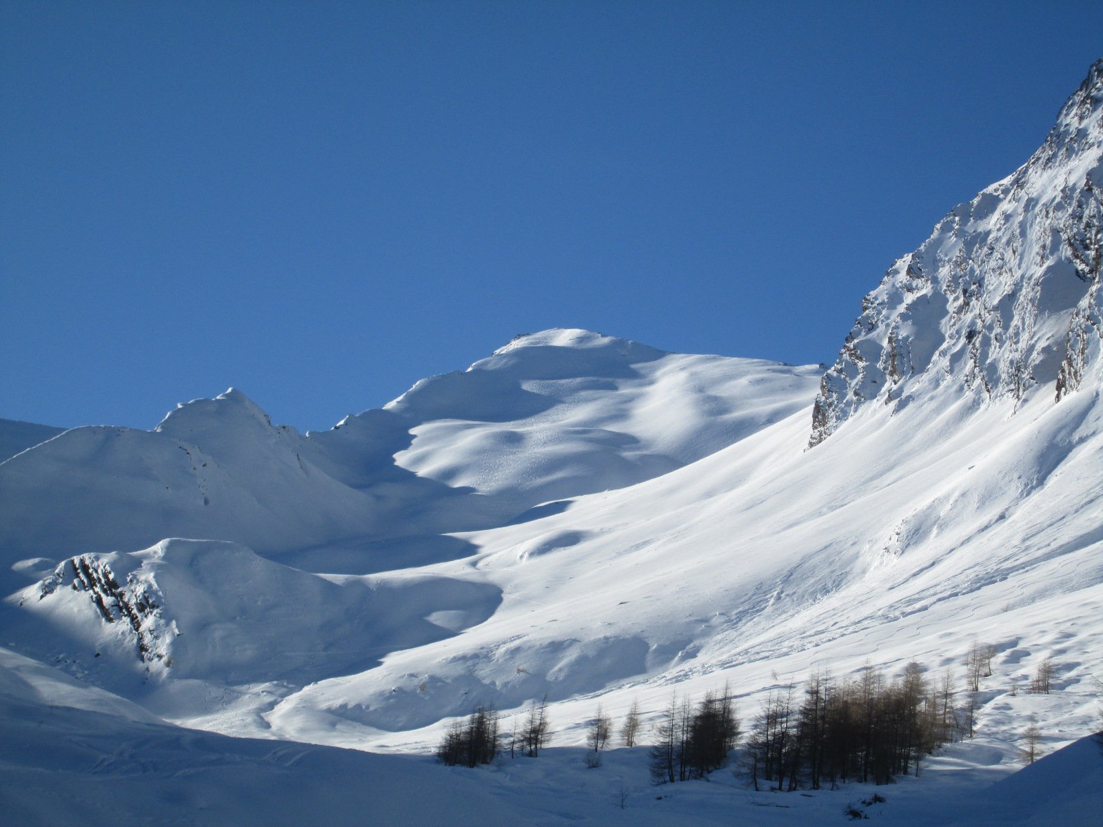
Chalanche (la) dal Vallon de Bérard
 3.6Km
3.6Km
10/04/2023 Alpes-de-Haute-Provence, La Condamine-Châtelard D+ 1195 m BS Est
Maralouches (Tete de) da les Pras
 3.7Km
3.7Km
02/05/2025 Alpes-de-Haute-Provence, La Condamine-Châtelard D+ 1106 m BS Nord-Ovest
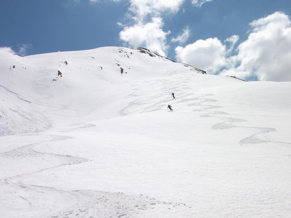
Grand Clausis (le) da les Pras per il versante N/NO
 3.7Km
3.7Km
06/01/2013 Alpes-de-Haute-Provence, La Condamine-Châtelard D+ 1005 m BSA Nord-Est
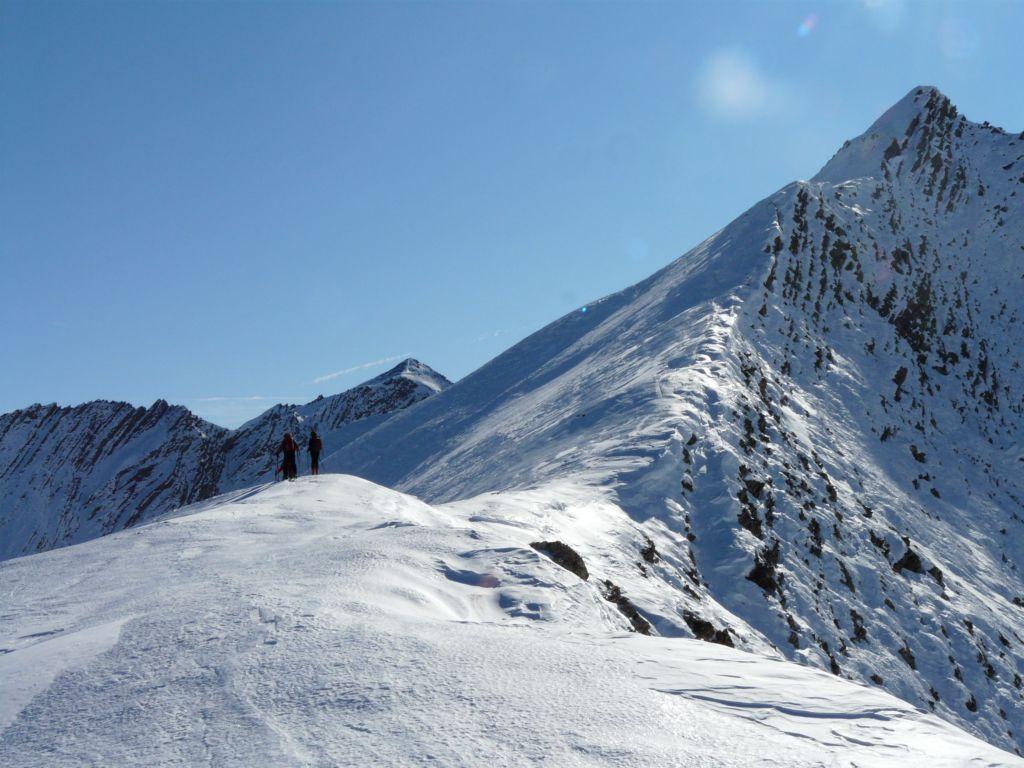
Grand Clausis (le) anticima NE da les Pras per La Lauzette
 3.8Km
3.8Km
Servizi
9.4Km