 3.3Km
3.3Km
Note
 15.5Km
3.3Km
3.3Km
3.3Km
3.3Km
5.7Km
6.9Km
7.2Km
7.3Km
8.2Km
8.4Km
Sentiero impegnativo e non ben segnalato, decollo ripido, volo di montagna con condizioni abbastanza forti.
Avvicinamento
Atterraggio situato in Cesana nel grande prato adiacente alla via Mario Ferragut , nella zona adiacente alla caserma dei Carabinieri.
Descrizione
Dall’atterraggio situato in Cesana nel grande prato adiacente alla via Mario Ferragut , nella zona adiacente alla caserma dei Carabinieri, imboccare la stradina in direzione Fenils.
Appena attraversato il rio Malnet voltare a sinistra e imboccare il sentiero che lo segue sulla sinistra idrografica.
Dopo circa un chilometro il sentiero è interrotto da una frana, attraversare l’interruzione perdendo qualche metro (punto pericoloso). Proseguire sempre sul sentiero, che non è ben segnalato, e rimanendo nel bosco dirigersi verso nord fino ad uscire sulla cresta des Aiguilles. A questo punto attraversare mantenendo la quota l’evidente colatoio (punto pericoloso) che origina dalla Cresta Nera. Per filo di cresta, in direzione sud-ovest raggiungere la cima della Cresta Nera, stazione meteo in prossimità della vetta.
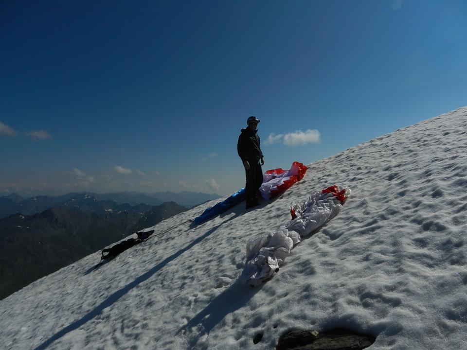
Decollo in direzione est.
- Cartografia:
- Fraternali Alta val Susa , Alta val Chisone
Nelle vicinanze Mappa
Itinerari
31/10/2016 Hautes-Alpes, Montgenèvre D+ 1786 m Sud-Est
Chaberton (Monte) Volo su Cesana Torinese
2.2Km
11/03/2014 TO, Cesana torinese Sud-Est
Gallerie di Claviere
2.5Km
05/08/2015 TO, Cesana torinese D+ 1210 m Sud-Ovest
Petit Vallon – Batteria Alta
2.8Km
30/12/2016 TO, Cesana Torinese D+ 700 m Tutte
Bosco (Cima del) da Thures
10.9Km
21/07/2013 TO, Sauze di Cesana D+ 1400 m Nord-Ovest
Ramière (Punta) o Bric Froid da Argentera
 15.5Km
18/08/2014 Hautes-Alpes, Abriès-Ristolas D+ 1150 m Sud
Terra Nera (Monte) da Rhuilles per Cima Dormillouse e Monte Virandatour
15.7Km
14/08/2016 TO, Bardonecchia D+ 1200 m Ovest
Sommeiller (Punta)
19.8Km
Servizi
3.3Km
3.3Km
Casa Cesana Bar
Cesana Torinese
3.3Km
L’Ibarus Rifugio
Cesana Torinese
3.3Km
Piergiorgio Frassati B&B
Cesana Torinese
5.7Km
Baita Gimont Rifugio
Claviere
6.9Km
L’Eitabl Ristorante
Oulx
7.2Km
Centro Ristorante
Cesana Torinese
7.3Km
La Chardouse Rifugio
Oulx
8.2Km
Guido Rey Rifugio
Oulx
8.4Km


