4.4Km
4.4Km
Note
 12.9Km
13Km
13Km
13Km
13Km
13Km
13Km
13Km
13Km
13Km
12.9Km
13Km
13Km
13Km
13Km
13Km
13Km
13Km
13Km
13Km
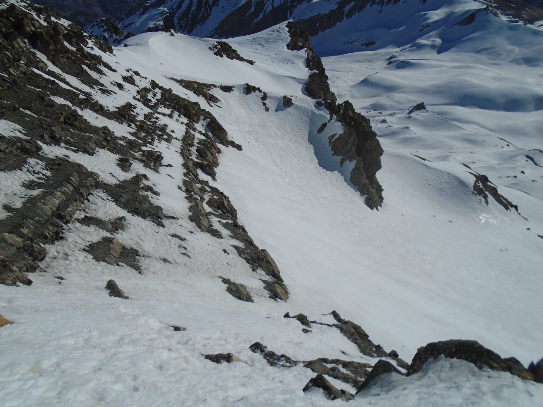
Itinerario molto ripido, sostenuto e continuo su terreno esposto!
Descrizione
Da Nizza uscita dell’autostrada di St. Isidore si segue la N202 del Plan du Var, in seguito D2205 direzione Isola 2000, Saint-Etienne de Tinée.
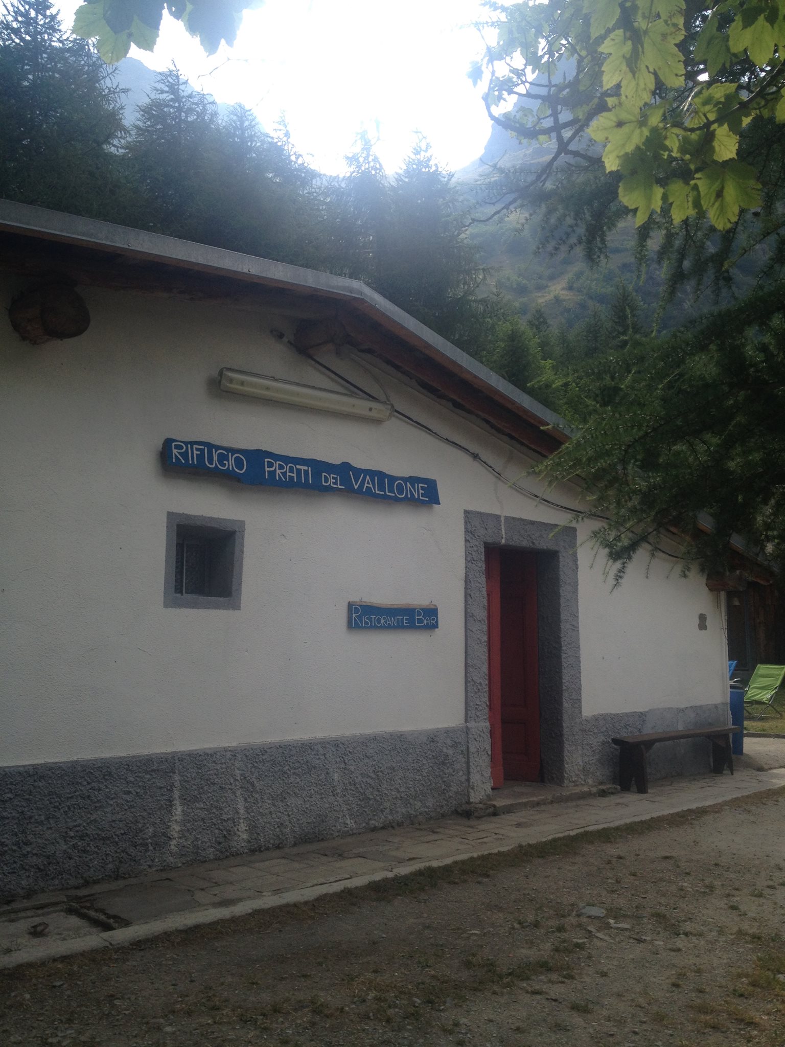
Partenza da dopo Saint Etienne de Tinée a quota c. 1135 m. (Palina 118) 200 metri prima del Pont Haut (m. 1347 bivio per Saint Dalmas le Selvage e Col de Restefond-La Bonette). Slargo per posteggiare.
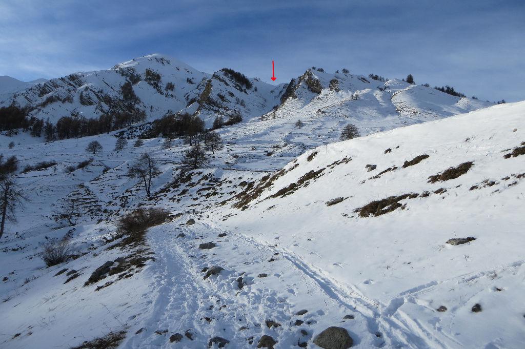
Dopo St. Etienne-de-Tinée, quota 1335 m., 200 metri prima del Pont Haut, alla palina 118 a lato della strada, si segue il ripido sentiero che si alza nel bosco con numerosi tornanti, dalla prima delle Grange les Chabottes (1550 m. sorgente) il sentiero piega verso destra e districandosi tra alcuni terrazzamenti si esce dal bosco giungendo alle Grange de Clai de Blachière m.1594.
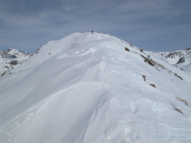
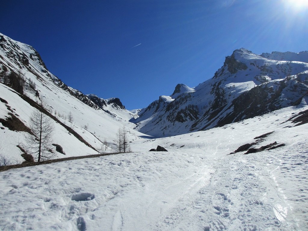
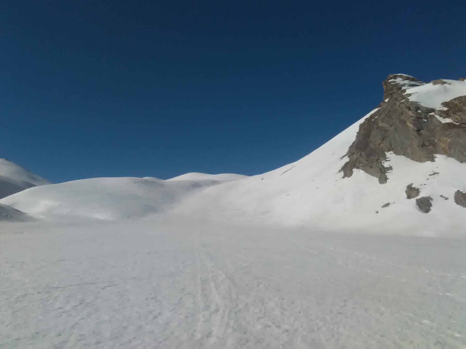
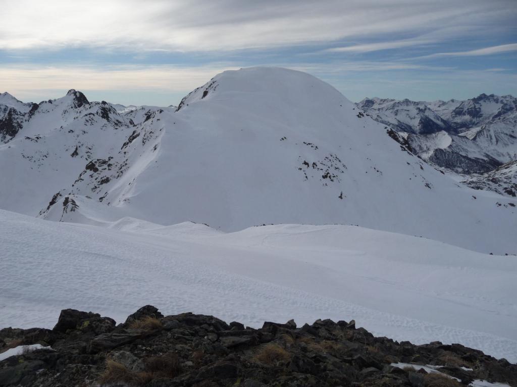
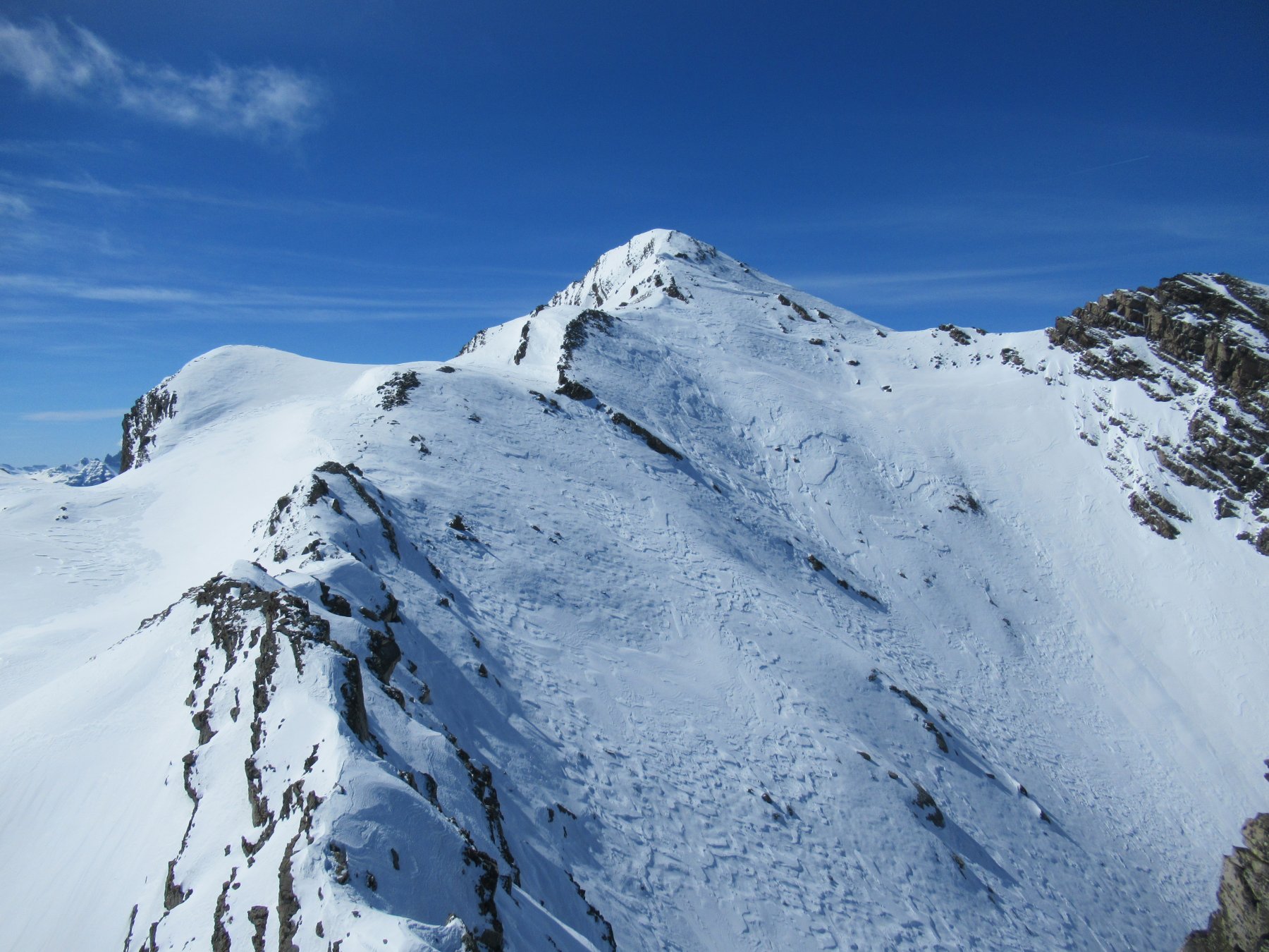
A monte delle grange si sale a incrociare una stradina sterrata, si prosegue in direzione nord-est a monte della sterrata per gli aperti e ripidi pendii (sostenuto e continuo) della Costa Plana, alcuni larici isolati. Dopo un lungo pendio sempre ripido, ma meno sostenuto e alcuni ripiani, il costone si restringe e si impenna ulteriormente nel tratto finale per sbucare su un ripiano a quota m. 2541. Di qui in breve si giunge sull’ampia cima del Clai Inférieur m. 2590.
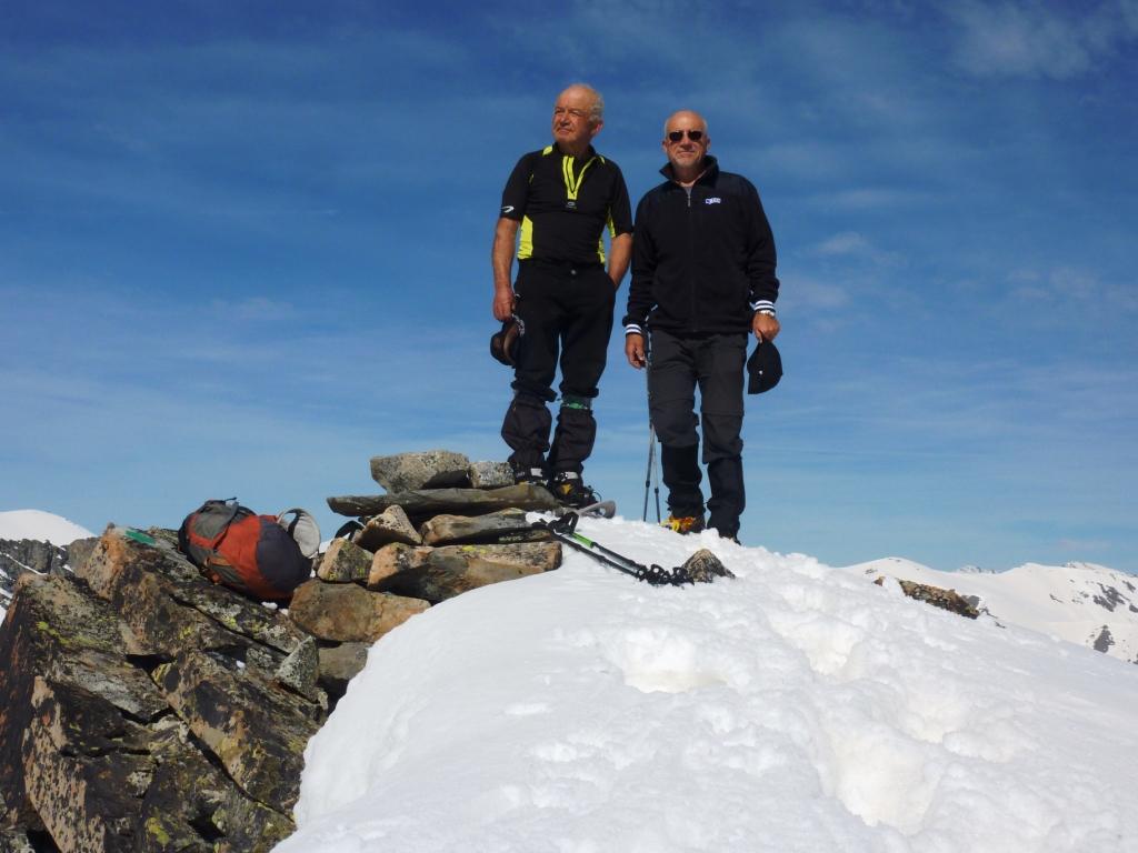
La cima è molto panoramica formando un bel balcone sui Laghi di Vens, la zona della Bonette, il circolo sciistico di Auron e il Mont Mounier.
Sconsigliata a chi non è a proprio agio sul ripido esposto!
- Cartografia:
- IGN 1:25.000 n°3639 OT
- Bibliografia:
- Sci Alpinismo - Alpi Liguri e Marittime Jean-Charles Campana
Nelle vicinanze Mappa
Itinerari
02/03/2025 CN, Bersezio/Argentera D+ 500 m MR Nord-Ovest
Ferrere (Borgata) da Villaggio Primavera
 12.9Km
06/02/2024 CN, Bersezio/Argentera D+ 1186 m BR Sud-Est
Enchastraye (Monte) da Grange
 13Km
13Km
28/03/2019 CN, Bersezio/Argentera D+ 737 m MR Nord-Est
Puriac (Colle del) da Grange
 13Km
13Km
08/05/2013 CN, Bersezio/Argentera D+ 1150 m BR Est
Pe de Jun (Testa) e Monte Ventasuso da Grange, anello per l’Enclausetta
 13Km
13Km
23/11/2024 CN, Bersezio/Argentera D+ 1098 m BRA, F+ Varie
Tre Vescovi (Rocca) da Grange per il vallone del Puriac
 13Km
13Km
06/04/2017 CN, Bersezio/Argentera D+ 739 m BR, F Nord-Est
Pui (Bec del) da Grange
 13Km
13Km
22/03/2019 CN, Bersezio/Argentera D+ 1186 m BRA, PD Sud-Est
Enchastraye (Monte) Diretta versante SE
 13Km
13Km
29/12/2014 CN, Bersezio/Argentera D+ 950 m BRA, F+ Varie
Ventasuso (Monte) da Grange, anello per Canale Est del Valejas
 13Km
13Km
19/03/2019 CN, Bersezio/Argentera D+ 1240 m BR Varie
Pebrun (Monte) o Pel Brun e Monte Aiga da Grange per la cresta di confine
 13Km
13Km
14/03/2019 CN, Bersezio/Argentera D+ 974 m BRA, PD- Est
Pe de Jun (Testa) da Grange per il Canale NE del Bail
 13Km
13Km