3.3Km
3.3Km


Note
 50m
2.2Km
2.3Km
2.8Km
3.4Km
4.5Km
4.5Km
50m
2.2Km
2.3Km
2.8Km
3.4Km
4.5Km
4.5Km
3.3Km
4.5Km
4.5Km
4.5Km
8Km
8.2Km
8.2Km
8.3Km
8.6Km
9Km
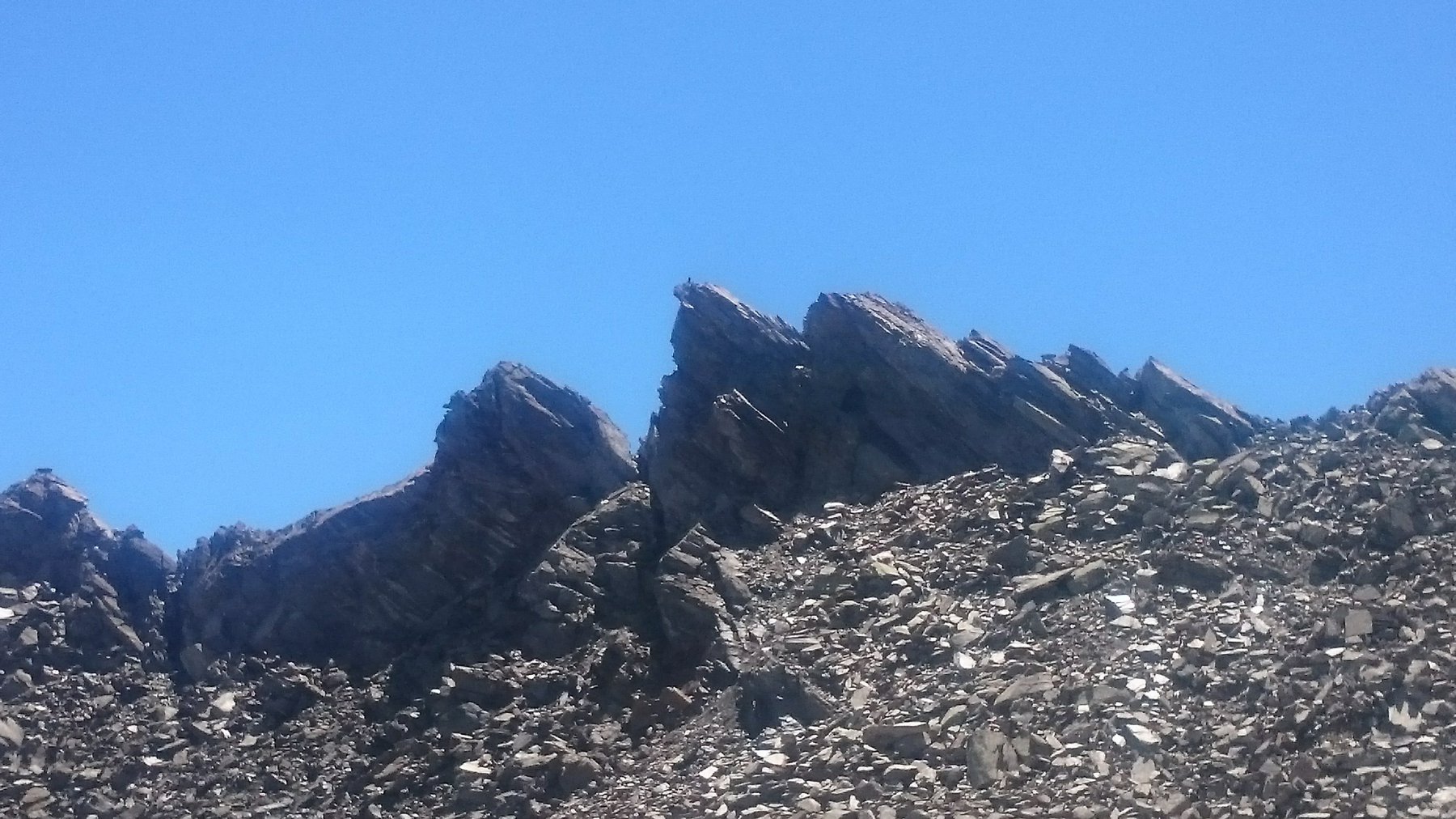
Molto caratteristico il passaggio nella galleria.
Avvicinamento
.
Descrizione
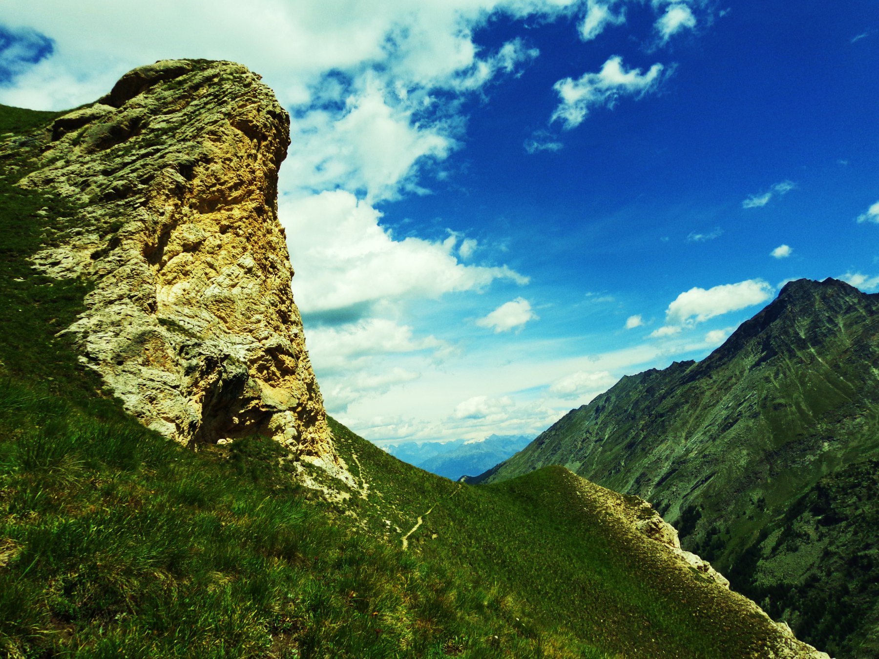
Si parcheggia l’auto in località Melignon (comodo piazzale) e subito si trova la palina segnavia dei sentieri n.18-18A-17.
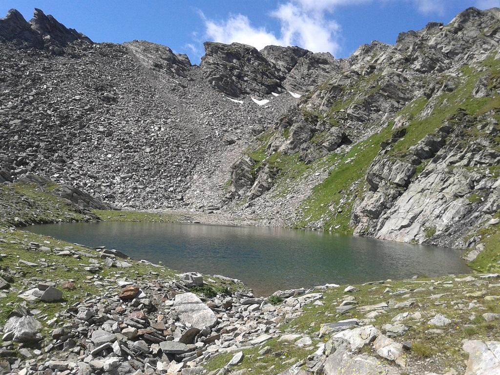
Si segue il sentiero n.18 A indicante i laghi di Changier,raggiungendo prima l’alpeggio omonimo 2496 m e quindi il lago 2643 m).
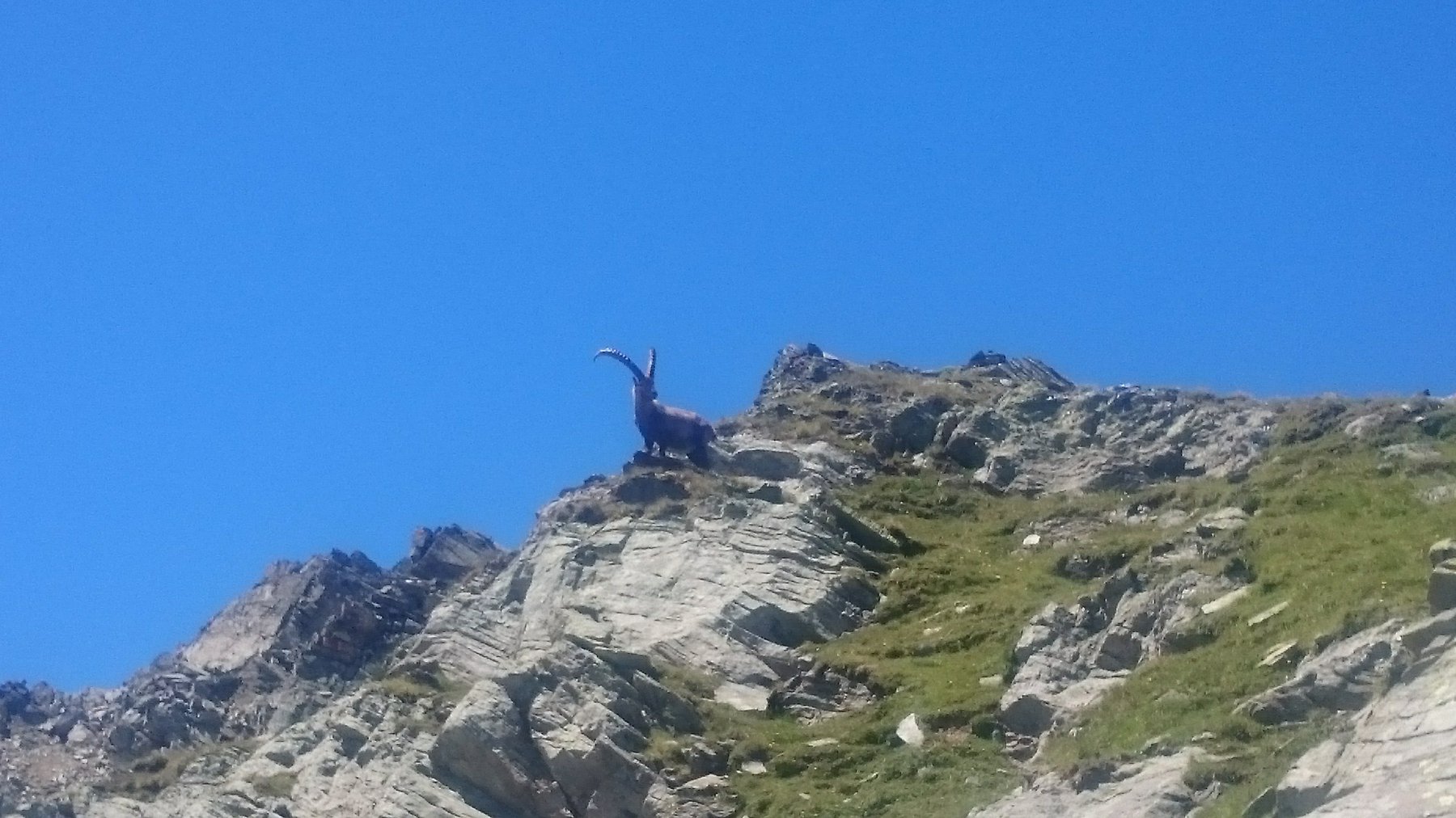
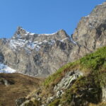
Poi puntare direttamente alla vetta che si vede dal lago superando una pietraia ripida, a questo punto quando la parete si impenna e pare non percorribile senza arrampicarsi, entrare in una galleria che dapprima larga e poi molto strettina (non si passa con zaino) che ci deposita sul colletto della cresta a pochi passi dalla panoramica vetta su cui è presente un omino.
Nelle vicinanze Mappa
Itinerari
11/07/2023 AO, Rhemes-Saint-Georges D+ 1063 m EE Sud-Ovest
Changier (Laghi di) da Melignon
 50m
50m
03/07/2011 AO, Rhemes-Saint-Georges D+ 1493 m EE Nord
Nequedè (Passo) da Creton
1.9Km
30/06/2024 AO, Rhêmes-Notre-Dame D+ 650 m T Nord-Est
Pechoud (Casotto del PNGP) da Carrè, anello per Alpe Chaussettaz e Chanavey
 2.2Km
2.2Km
15/08/2023 AO, Rhemes-Saint-Georges D+ 900 m EE Sud
Lor (Mont de) da Corthoud, anello
 2.3Km
2.3Km
05/06/2016 AO, Rhemes-Saint-Georges D+ 316 m EE Est
Zette (Alpeggio) da Mugnoz a Rhemes Saint Georges
 2.8Km
2.8Km
30/07/2023 AO, Rhêmes-Notre-Dame D+ 1000 m EE Sud
Changier (Laghi di) da Chanavey, giro dei Valloni di Cussuna e Feluma
 3.4Km
3.4Km
26/09/2014 AO, Rhêmes-Notre-Dame D+ 1189 m EE Sud
Cussunaz o Cussuna (Colle di) da Chanavey
3.4Km
15/08/2025 AO, Rhêmes-Notre-Dame D+ 1105 m EE Varie
Gollien (Cime di), spalla 2837 m da Rhêmes Notre Dame
 4.5Km
4.5Km
20/08/2023 AO, Rhêmes-Notre-Dame D+ 400 m E Ovest
Marmotte (Rifugio delle) da Rhemes Notre Dame
4.5Km
28/06/2026 AO, Rhêmes-Notre-Dame D+ 1250 m EE Sud
Entrelor (Colle di) da Rhemes Notre Dame
 4.5Km
4.5Km
Servizi
3.3Km
4.5Km
Galisia Albergo
Rhemes-Notre-Dame
4.5Km
Tanini Ristorante
Rhemes-Notre-Dame
4.5Km
Lo Sabot Albergo
Rhemes-Notre-Dame
8Km
Benevolo Rifugio
Rhêmes-Notre-Dame
8.2Km
Lo Fourquin Bar
Valsavarenche
8.2Km
Chalet de L’Epée Rifugio
Valgrisenche
8.3Km
Abro de la Leunna Ristorante
Valsavarenche
8.6Km
La Tana delle Volpi Ristorante
Valgrisenche
9Km