1.3Km
1.3Km

Avvicinamento
 1.3Km
2.2Km
2.2Km
2.4Km
2.4Km
2.4Km
2.4Km
2.4Km
1.3Km
2.2Km
2.2Km
2.4Km
2.4Km
2.4Km
2.4Km
2.4Km
1.3Km
2.4Km
2.4Km
2.4Km
5.8Km
7.4Km
8.8Km
8.9Km
9Km
9Km
.
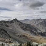
Descrizione
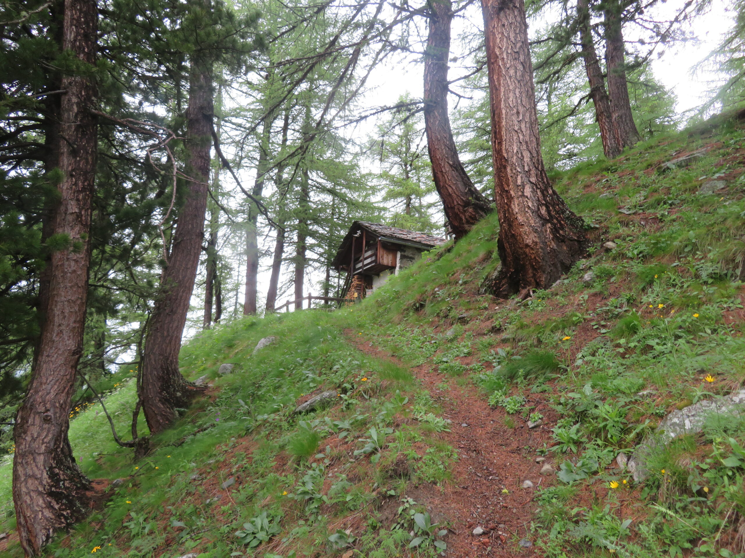
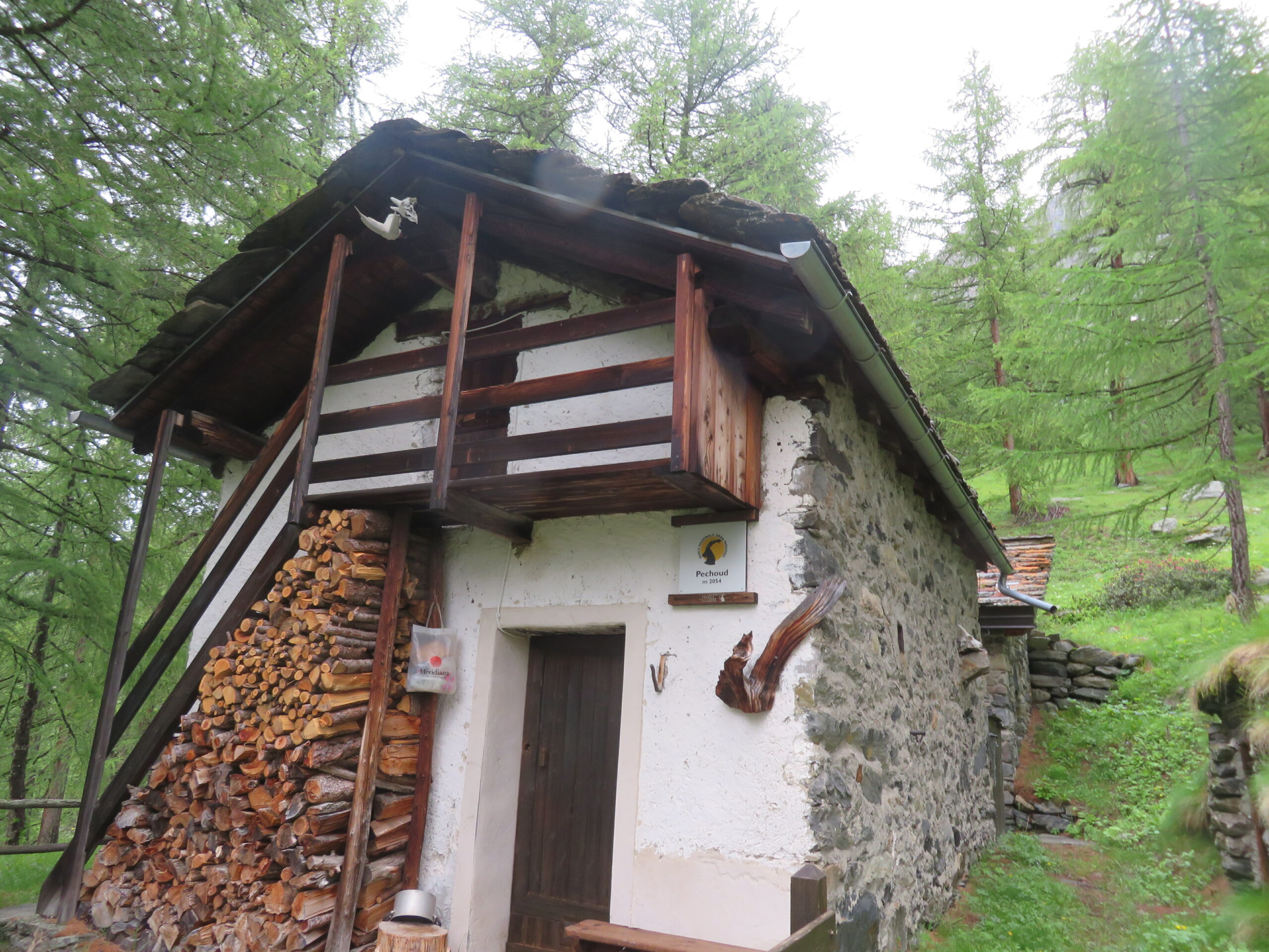
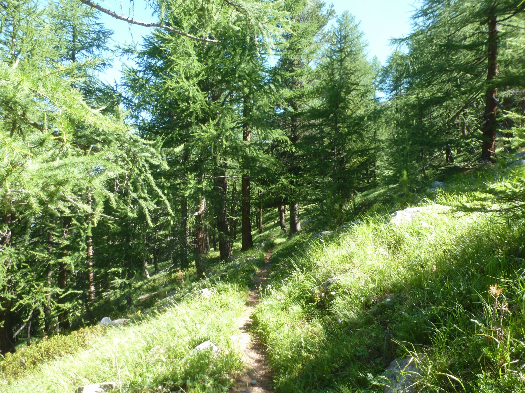
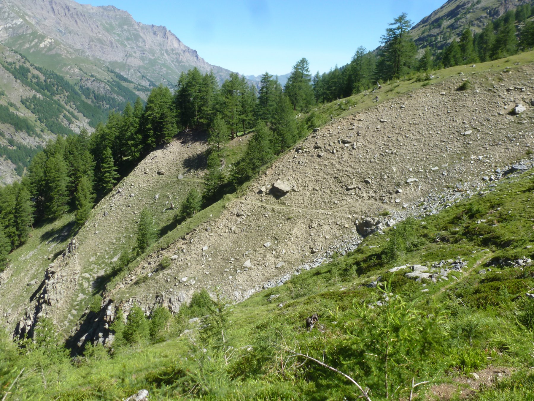
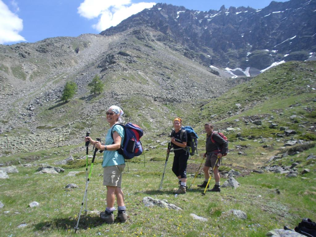
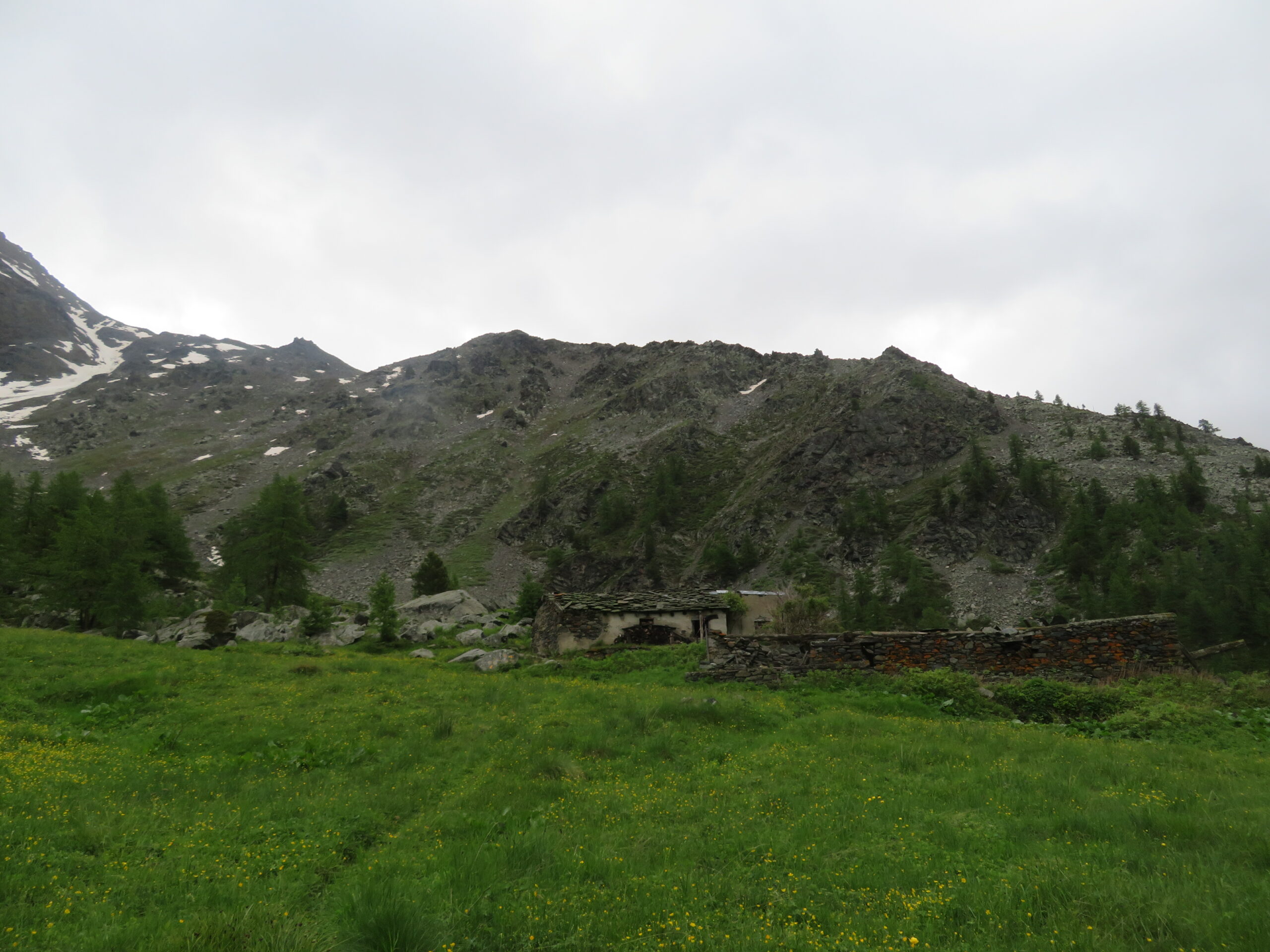
Parcheggiata l’auto nei pressi dell’area picnic,si attraversa la statale 24 dove si trova il segnavia del sentiero n. 8A che sale ripidamente nel bosco.Giunti ad un bivio dove bolli gialli su roccia indicano le varianti possibili,si segue il sentiero n.8D/7 che conduce al casotto P.N.G.P.di Pechoud.
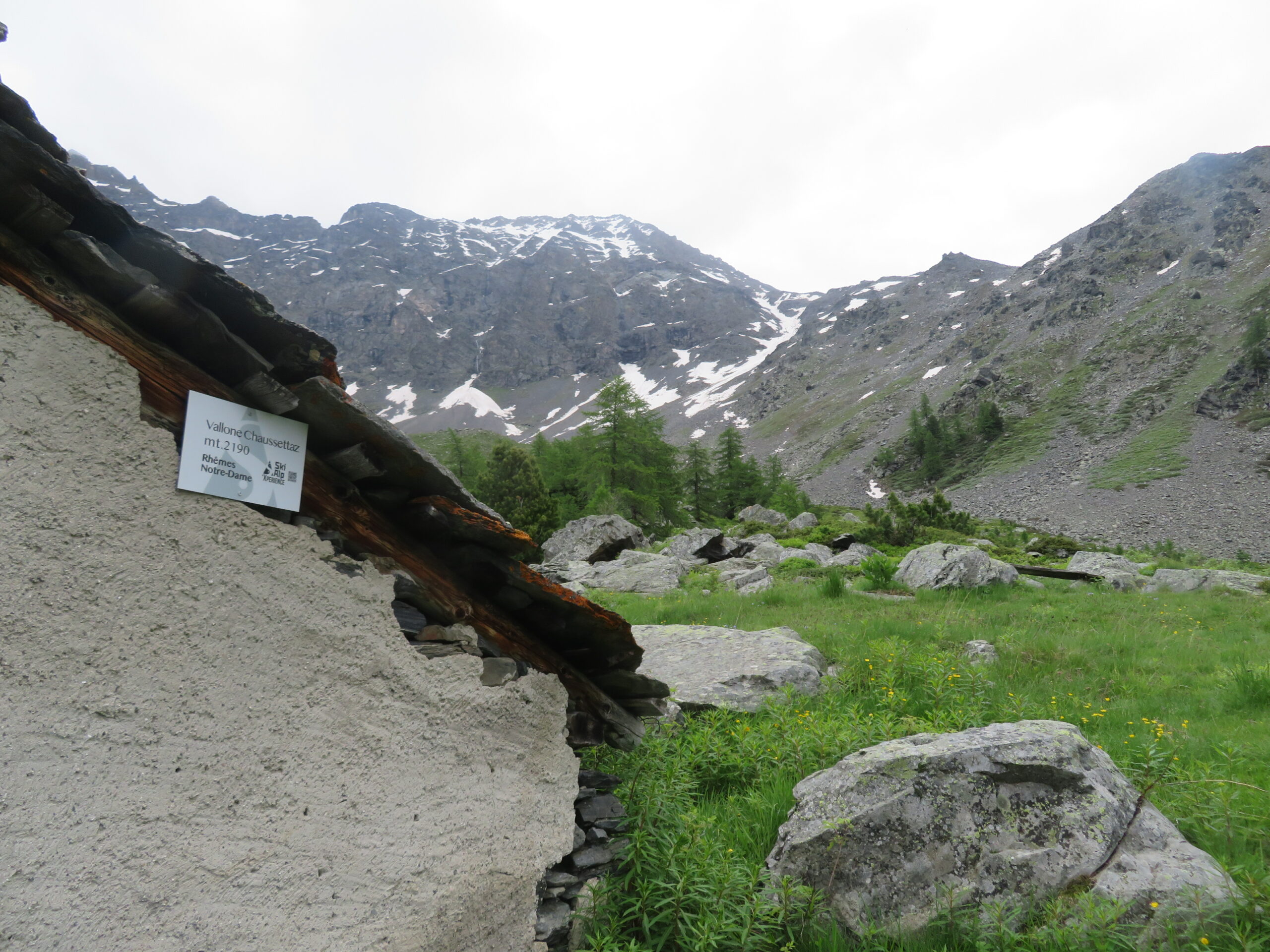
Si ritorna al bivio e si prosegue sul sentiero n.7 che conduce all’alpe Chaussettaz.
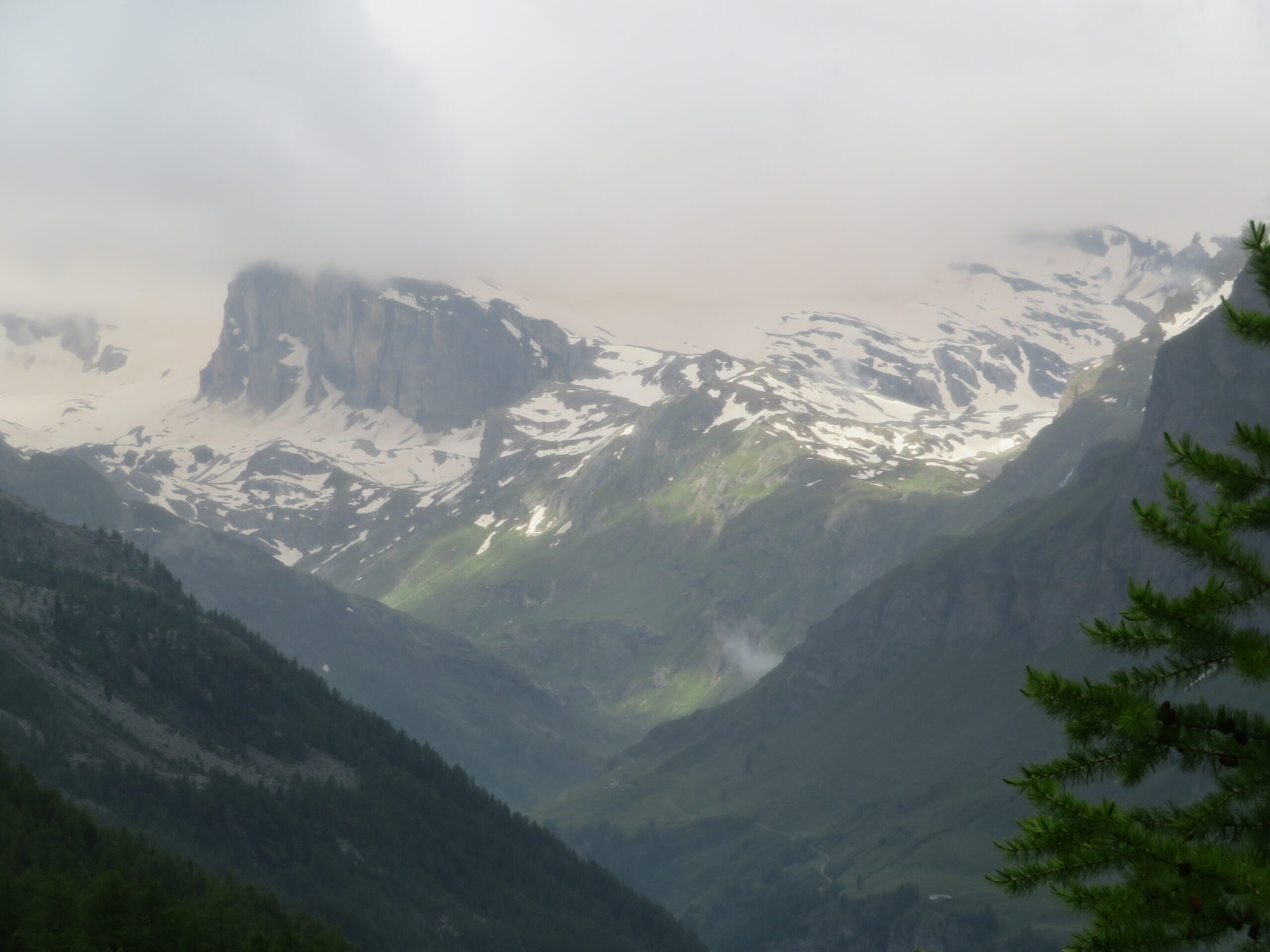
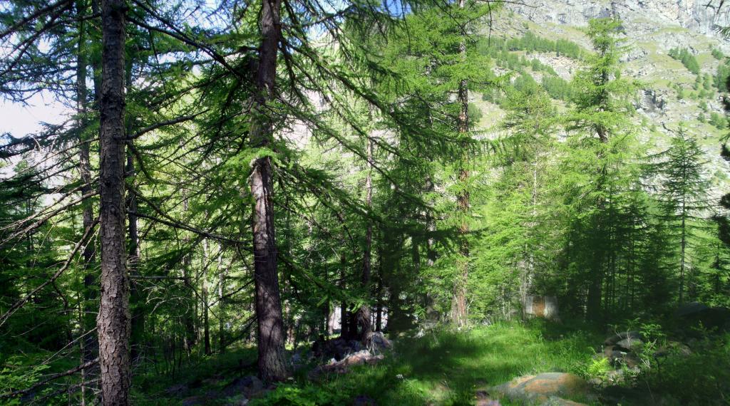
Da qui si scende col sentiero n.8B e successivamente col n.8C diretto a Chanavey dove ,col sentiero naturale ,si ritorna alla Fraz. Carre’.
Nelle vicinanze Mappa
Itinerari
30/07/2023 AO, Rhêmes-Notre-Dame D+ 1000 m EE Sud
Changier (Laghi di) da Chanavey, giro dei Valloni di Cussuna e Feluma
 1.3Km
1.3Km
26/09/2014 AO, Rhêmes-Notre-Dame D+ 1189 m EE Sud
Cussunaz o Cussuna (Colle di) da Chanavey
1.3Km
02/09/2025 AO, Rhemes-Saint-Georges D+ 1152 m EE/F Nord
Changier (Becca di) da Melignon
 2.2Km
2.2Km
11/07/2023 AO, Rhemes-Saint-Georges D+ 1063 m EE Sud-Ovest
Changier (Laghi di) da Melignon
 2.2Km
2.2Km
15/08/2025 AO, Rhêmes-Notre-Dame D+ 1105 m EE Varie
Gollien (Cime di), spalla 2837 m da Rhêmes Notre Dame
 2.4Km
2.4Km
20/08/2023 AO, Rhêmes-Notre-Dame D+ 400 m E Ovest
Marmotte (Rifugio delle) da Rhemes Notre Dame
2.4Km
28/06/2026 AO, Rhêmes-Notre-Dame D+ 1250 m EE Sud
Entrelor (Colle di) da Rhemes Notre Dame
 2.4Km
2.4Km
02/09/2018 AO, Rhêmes-Notre-Dame D+ 1580 m EE/F Nord
Rolettaz (Monte) da Rhemes Nostre Dame per il Col de Sort
 2.4Km
2.4Km
13/07/2023 AO, Rhêmes-Notre-Dame D+ 1120 m EE Sud
Fenetre (Col) da Rhemes Notre Dame
 2.4Km
2.4Km
31/05/2026 AO, Rhêmes-Notre-Dame D+ 855 m E Ovest
Entrelor (Testa di) da Rhemes Notre Dame, anello per i valloni di Sort e di Entrelor
 2.4Km
2.4Km
Servizi
1.3Km
2.4Km
Galisia Albergo
Rhemes-Notre-Dame
2.4Km
Tanini Ristorante
Rhemes-Notre-Dame
2.4Km
Lo Sabot Albergo
Rhemes-Notre-Dame
5.8Km
Benevolo Rifugio
Rhêmes-Notre-Dame
7.4Km
Chalet de L’Epée Rifugio
Valgrisenche
8.8Km
La Tana delle Volpi Ristorante
Valgrisenche
8.9Km
Lo Fourquin Bar
Valsavarenche
9Km
Abro de la Leunna Ristorante
Valsavarenche
9Km