2.1Km
2.1Km
Note
 1.4Km
1.4Km
1.4Km
1.4Km
1.9Km
1.9Km
2.2Km
2.3Km
2.4Km
1.4Km
1.4Km
1.4Km
1.4Km
1.9Km
1.9Km
2.2Km
2.3Km
2.4Km
2.1Km
2.2Km
5.1Km
5.3Km
5.3Km
5.3Km
5.6Km
6.1Km
6.2Km
6.4Km
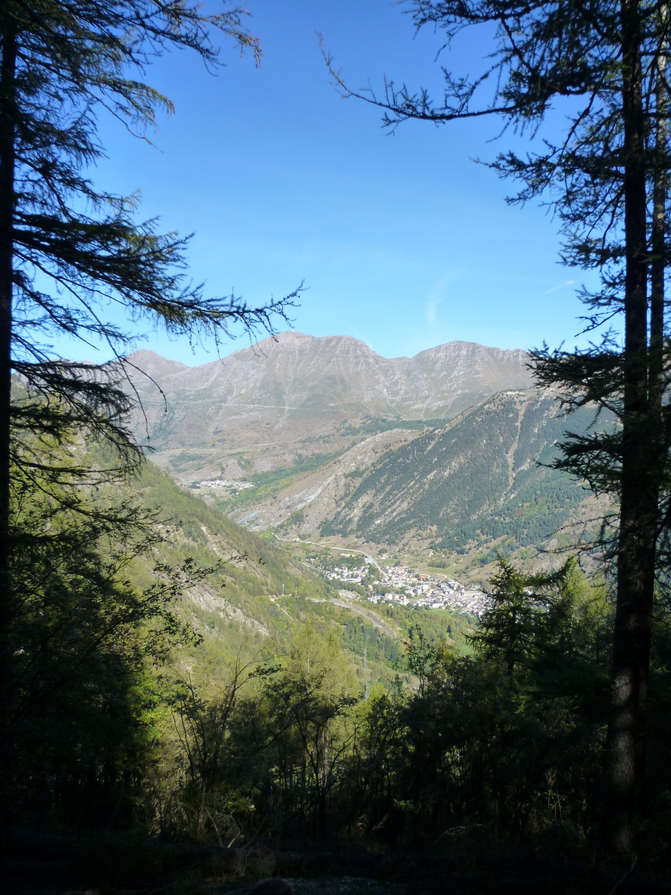
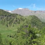
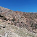
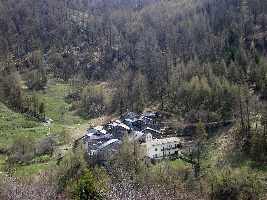
Semplice escursione ad anello, interamente nel bosco di larici secolari che sovrasta la frazione di Chambons. Si può effettuare in tutte le stagioni: ognuna ha le sue peculiarità. Presenti 2 fontane: una vicino al parcheggio e l'altra, fontana Chezalet, a metà della salita. Il tempo di percorrenza può essere di 2 / 3 ore. Dipende dalle soste per godere dell'ambiente circostante.
Avvicinamento
.
Descrizione
Si parcheggia nell’ampio spazio appena oltre il ponte del Chisone.
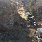
Ci si inoltra nell’abitato di Chambons, con svolta prima a Dx e poi a Sx, si sale prendendo via Selva. Il sentiero sale subito deciso nel bosco. Ad un primo bivio, si segue l’indicazione a destra “La Selva di Chambons” (il sentiero a sinistra è il ritorno dell’anello).
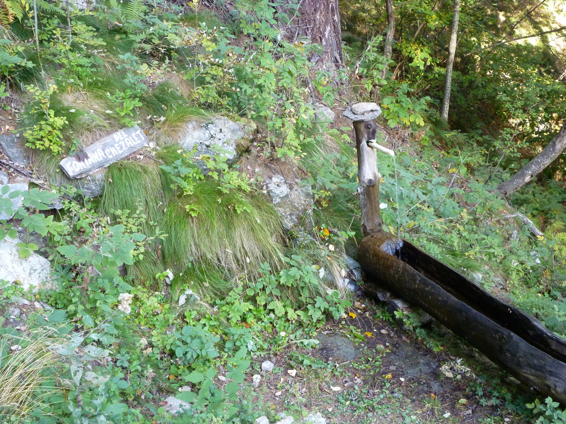
La pendenza si fa più dolce, e con una successiva rampetta si sbuca sulla strada silvo pastorale che ha ferito profondamente la Selva. Percorso un tornante, si giunge alla Fontana Chezalet, ormai a bordo strada, e che ha perso sicuramente il fascino antico. Il sentiero prosegue alle spalle della fontana e riprende a salire, intersecando alcune volte la strada.
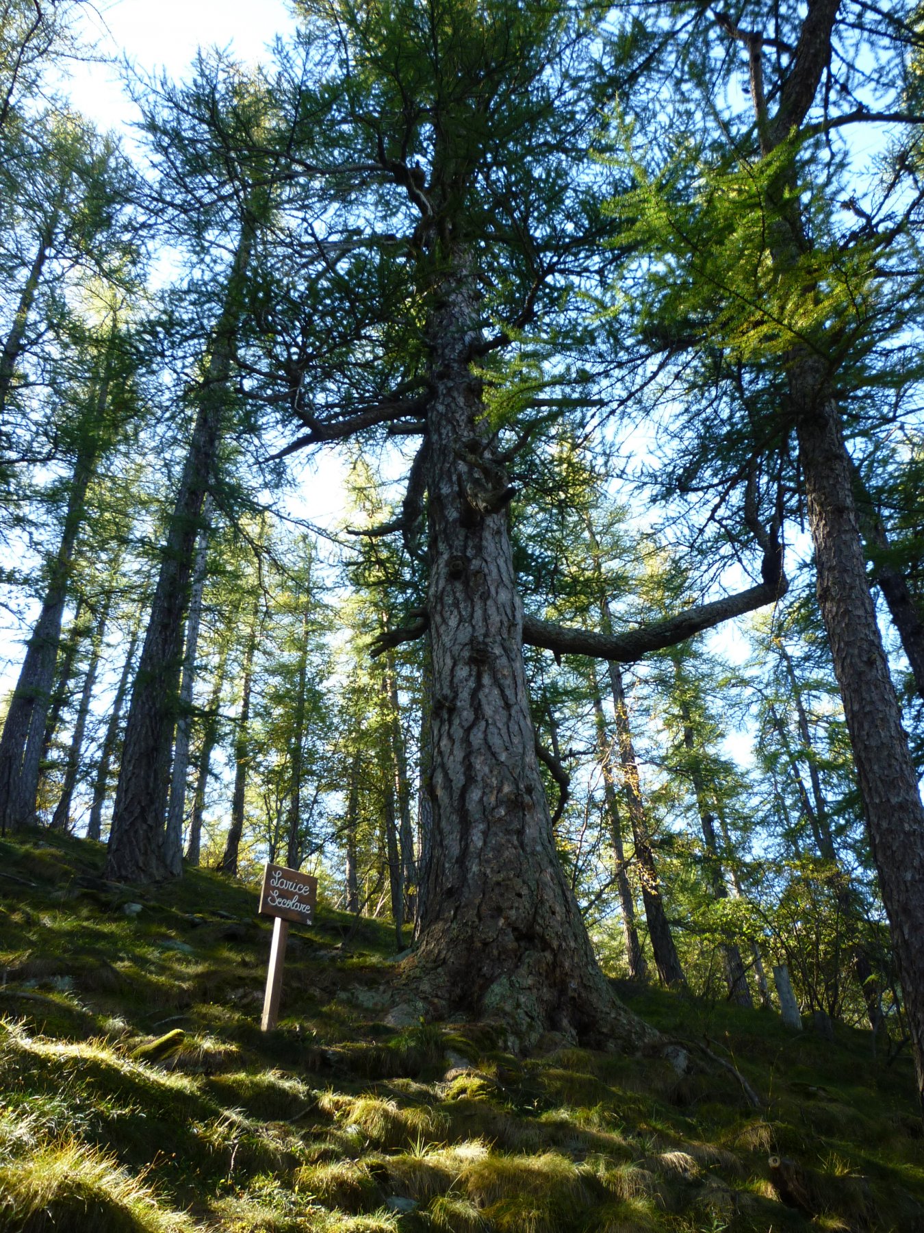
A quota 1500 circa, il sentiero sbuca sulla strada ed occorre scendere di pochi metri per seguire l’indicazione “Larice Secolare”, che si trova poco più avanti.
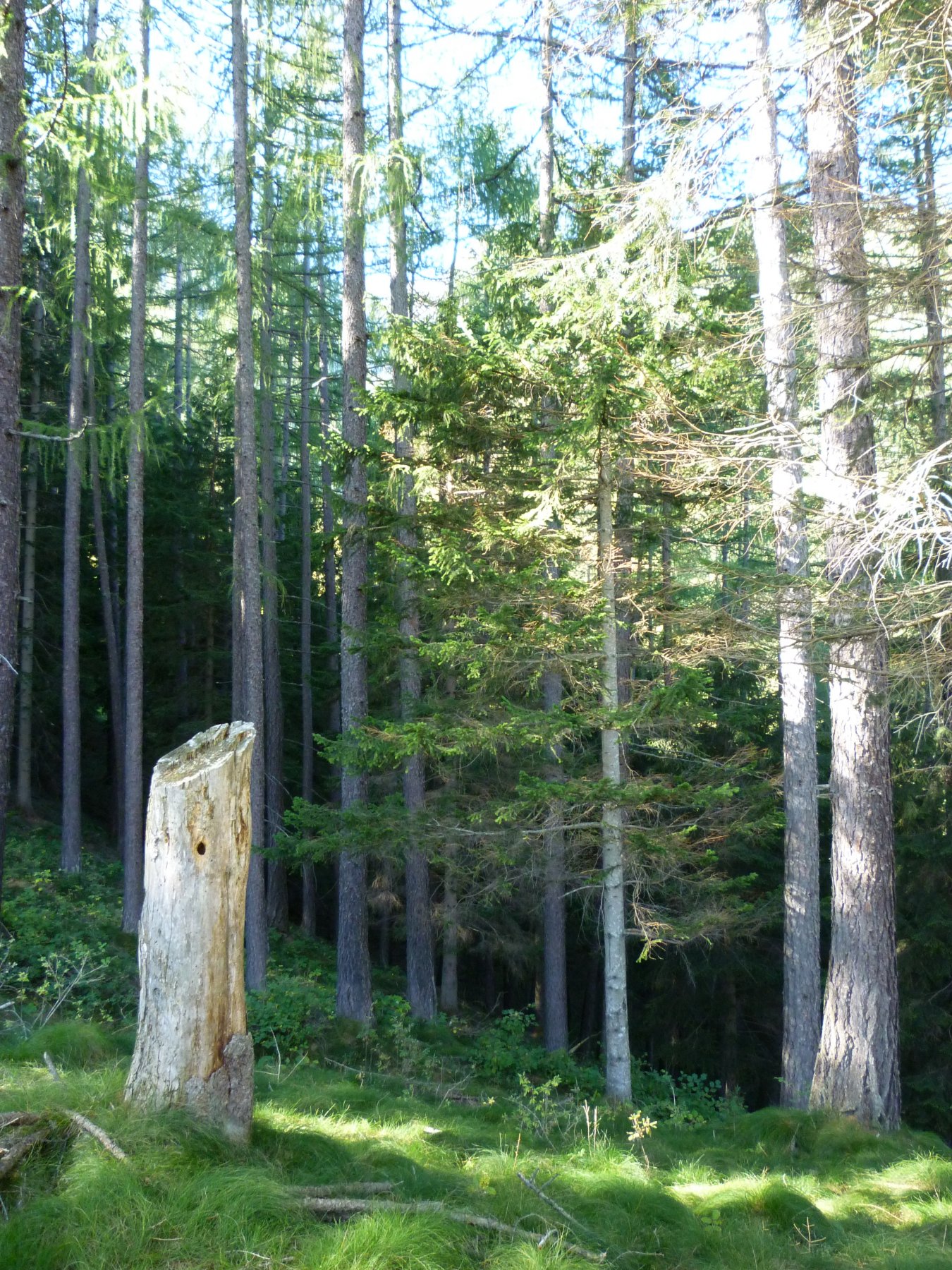
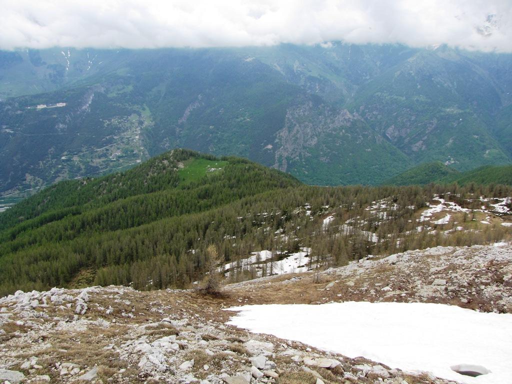
La salita è finita, e il sentiero fa un lungo traverso nel bosco fino a giungere al sentiero che scende dall’Alpe Ciais. Sempre in direzione del fondovalle, si giunge al primo bivio e da qui in breve al punto di partenza.
- Cartografia:
- Fraternali 1:25000 Val Germanasca Bassa Val Chisone Pinerolese
Nelle vicinanze Mappa
Itinerari
24/06/2025 TO, Fenestrelle D+ 600 m E Est
Ridotta d’Andourn da Fenestrelle
 1.4Km
1.4Km
02/08/2023 TO, Fenestrelle D+ 1110 m E Nord
Angioli (Rocca degli) da Fenestrelle, anello per Bric Maria e bergeria Balma
 1.4Km
1.4Km
02/06/2023 TO, Fenestrelle D+ 850 m EE Varie
Gran Costa (Monte) da Fenestrelle
 1.4Km
1.4Km
09/05/2022 TO, Fenestrelle D+ 1250 m E Nord-Est
Pertiche (Clot delle) da Granges
 1.4Km
1.4Km
23/06/2018 TO, Fenestrelle D+ 1800 m EE Varie
Aquila (Becco dell’) da Granges
1.4Km
09/02/2020 TO, Fenestrelle D+ 365 m E Sud
Selleries (Rifugio) da Prà Catinat
 1.9Km
1.9Km
02/04/2023 TO, Fenestrelle D+ 950 m EE Sud-Ovest
Ciardonet (Roc) da Prà Catinat, anello per il Colle Jouglard
 1.9Km
1.9Km
17/04/2022 TO, Fenestrelle D+ 700 m E Sud
Selleries (Rifugio) da Saret
 2.2Km
2.2Km
23/02/2024 TO, Fenestrelle D+ 550 m E Sud
Puy e Pequerel (Borgate) da Fenestrelle, anello
 2.3Km
2.3Km
28/02/2026 TO, Fenestrelle D+ 850 m E Varie
Serre Marie (Forte) da Fenestrelle, anello per Pequerel, Puy, Usseaux, Lago di Laux
 2.4Km
2.4Km
Servizi
2.1Km
2.2Km
Tui Tui Ristorante
Fenestrelle
5.1Km
Alpe Pintas Ristorante
Usseaux
5.3Km
La Placette Ristorante
Usseaux
5.3Km
Cheese Bar Ristorante
Usseaux
5.3Km
Pian dell’alpe Rifugio
Usseaux
5.6Km
Souvenir Rifugio
Usseaux
6.1Km
Edelweiss Ristorante
Usseaux
6.2Km
Lago delle Rane Rifugio
Usseaux
6.4Km