 4Km
4Km
Note
 4.7Km
4.9Km
5.2Km
8Km
8.1Km
8.3Km
8.3Km
9.4Km
4.7Km
4.9Km
5.2Km
8Km
8.1Km
8.3Km
8.3Km
9.4Km
Scendendo da Plan Bry, al primo tornante, in località Moccossoney c'è una freccia per Boregne, che porta ad una traccia di sentiero che consente di non perdere quota (si mantiene a ca q. 1850 m) ma è sconsigliabile perché su terreno scosceso, ingombro da vegetazione e massi, praticamente non ciclabile.
Descrizione
Si sale da Grand Haury (q. 1191) lungo la strada che porta a Combes; arrivati al bivio per Combes si gira a sinistra fino al termine della strada asfaltata in località Plan du Saint Père, quindi si prende a destra e si segue la sterrata principale fino al bivio poco prima di Fourtse (q. 1650 m. ca); si prende allora a sinistra in direzione Leytin, si segue quindi la sterrata che con alcuni tornanti porta prima a Leytin, poi a Moccossoney e quindi a Plan Bry (q. 1917).
Da qui si attraversa il piano e si scende per l’itinerario n. 5 fino a incontrare la sterrata percorsa in salita (q. 1454), oppure ad una palina segnaletica si può scendere con l’itinerario n. 5A che con bella discesa porta sempre alla sterrata della salita ma circa 1 km più in su e a quota 1500 ca, si risale fino a Fourtse (q. 1650 ca) da cui si scende a destra con l’itinerario n. 4 (inizialmente sterrata poi bel sentiero a tornanti) a Grand Haury.
- Cartografia:
- Valgrisenche Val di rhemes L'escursionista editore - nr 3
Nelle vicinanze Mappa
Itinerari
09/09/2019 AO, Avise D+ 800 m TC, BC+, S2 Sud
Ru de Clavel da Avise
3Km
06/08/2022 AO, Saint-Nicolas D+ 1900 m BC+, OC, S3 Sud
Fallere (Mont), Punta Leysser, Punta Oilletta da Vens
4.7Km
29/06/2019 AO, Avise D+ 750 m MC, BC, S2 Varie
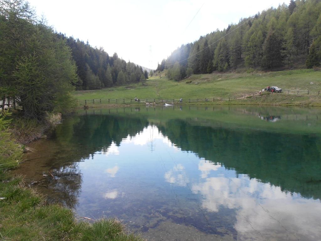
Joux (Col de) da Vedun, giro del Monte Vertosan
 4.7Km
4.7Km
07/07/2026 AO, Saint-Nicolas D+ 1847 m BC, OC, S3 Sud
Leissè o Leysser (Punta) da Saint Nicolas
 4.9Km
4.9Km
09/07/2025 AO, Introd D+ 1200 m MC+, BC+, S2 Tutte
Mont Blanc (Col di) da Introd, giro
 5.2Km
5.2Km
17/08/2021 AO, Saint-Nicolas D+ 2000 m BC, BC, S2 Tutte
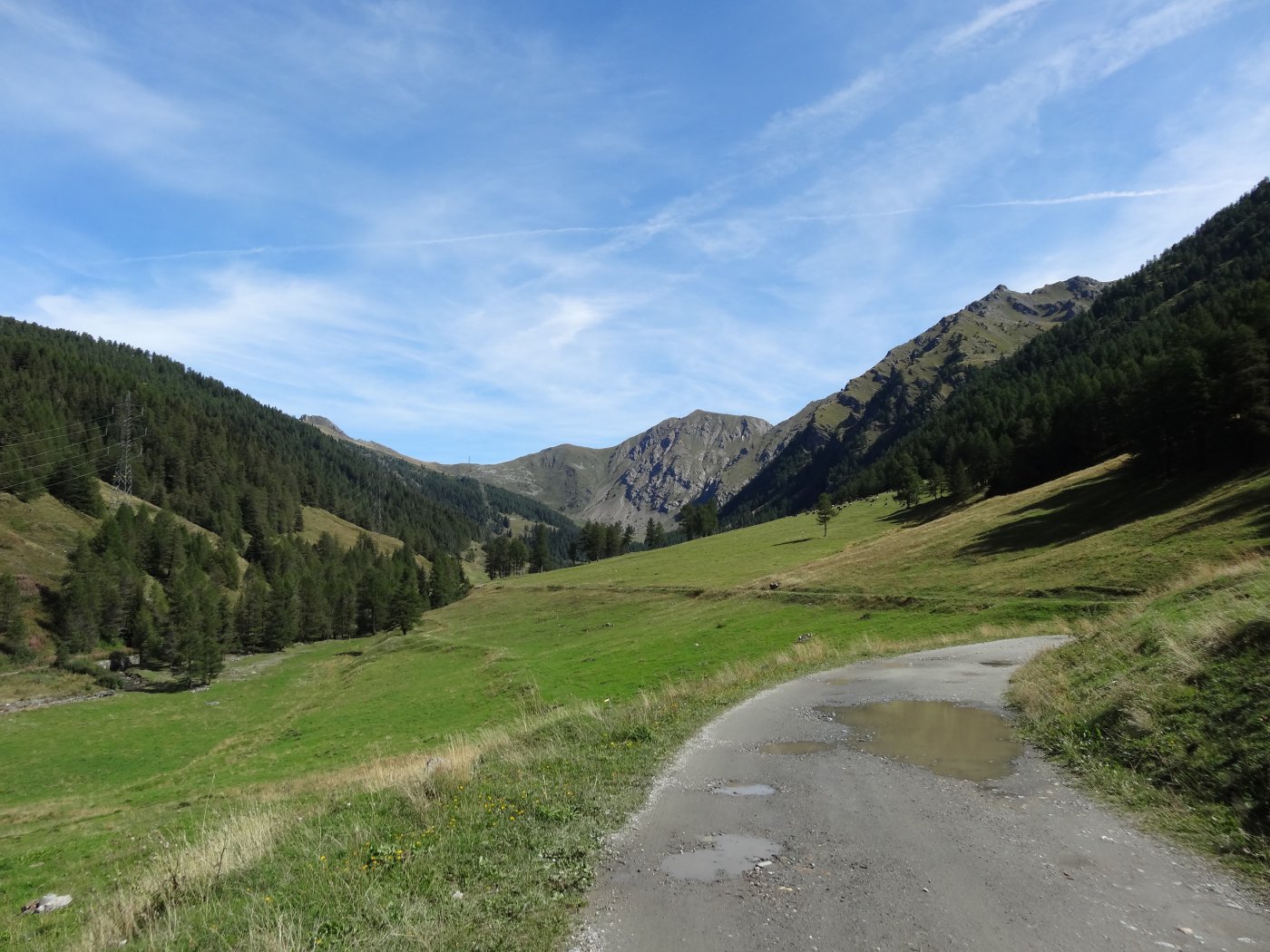
Citrin (Col) da Vetan, giro del Mont Fallére per il Rifugio Chaligne
 8Km
8Km
23/08/2020 AO, Villeneuve D+ 1700 m MC, BC, S2 Nord-Ovest
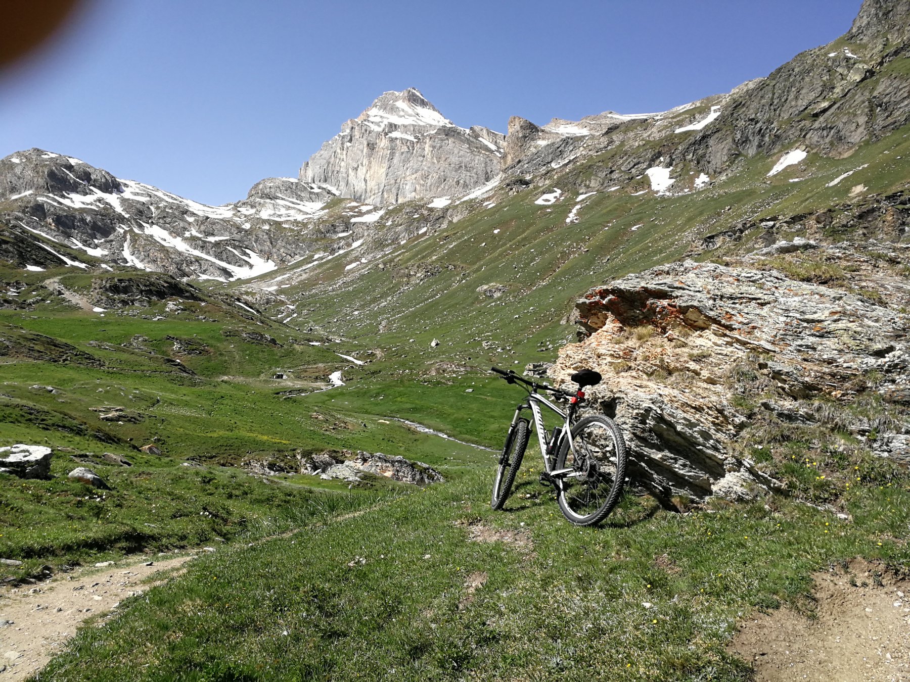
Benevolo Gian Federico (Rifugio) da Villeneuve per la Val di Rhemes
 8.1Km
8.1Km
29/06/2024 AO, Villeneuve D+ 1100 m MC, BC Nord
Poignon (Mont) da Villeneuve, giro per Petit Poignon e Pont d’Ael
 8.3Km
8.3Km
06/06/2026 AO, Villeneuve D+ 1300 m MC, BC, S1 Est
Bry (Plan) da Villeneuve
 8.3Km
8.3Km
06/09/2025 AO, Saint-Pierre D+ 1700 m MC+, BC, S2 Sud
Mont Fallère (Rifugio) da Saint Pierre, giro per Thouraz e Bellun
 9.4Km
9.4Km

