 200m
200m
Note
 2.5Km
2.6Km
2.6Km
2.6Km
2.6Km
2.6Km
3.6Km
4Km
4Km
2.5Km
2.6Km
2.6Km
2.6Km
2.6Km
2.6Km
3.6Km
4Km
4Km
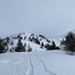
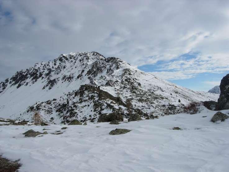
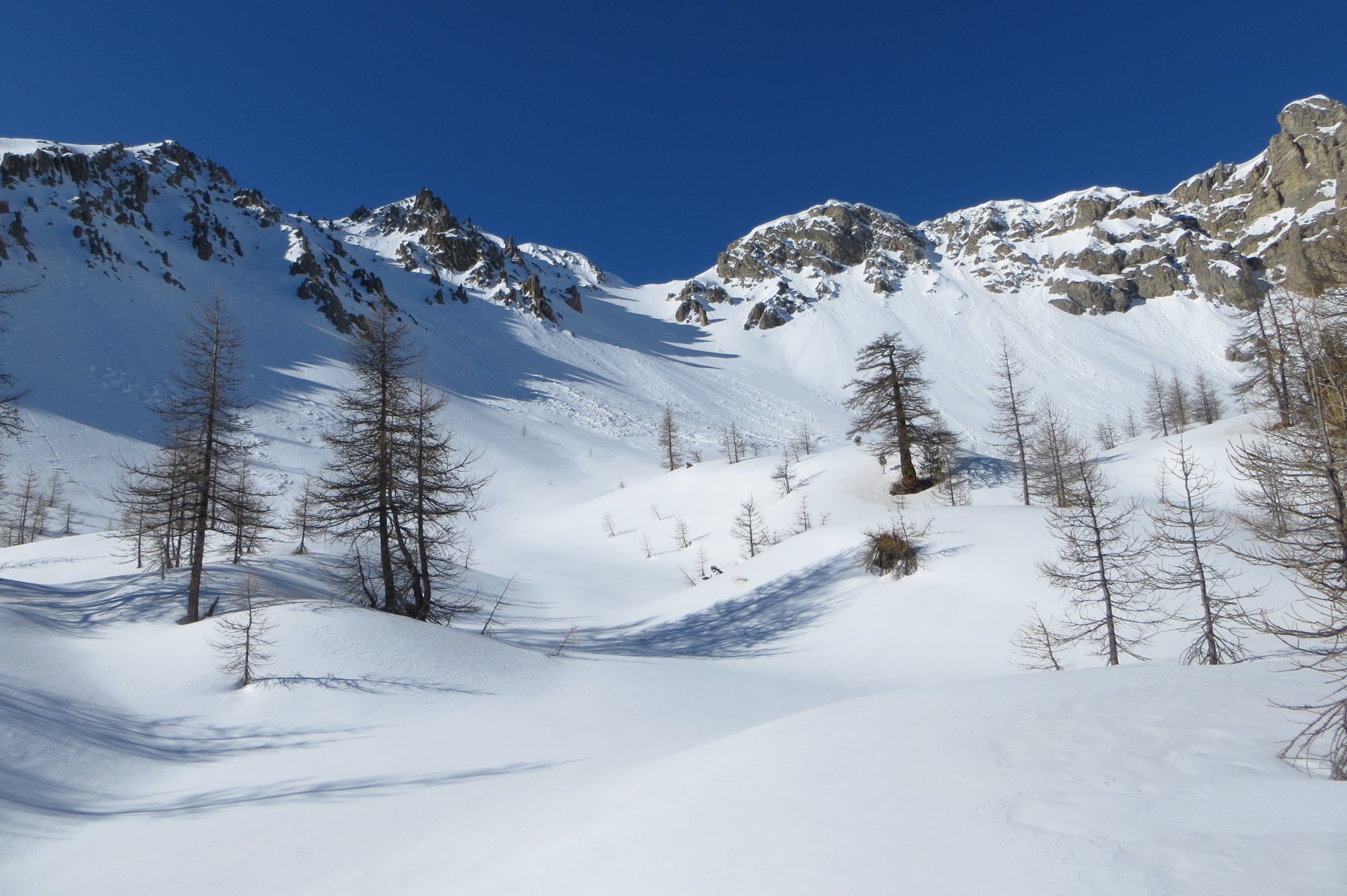
rilassante anello in splendido bosco di larici ed abeti rossi dominati dal versante nord del monte Janus.
Avvicinamento
descritta dal tornante q.1603 RN94 che da Monginevro scende a Briancon (posto x 2 macchine), si può partire dal park di Monginevro più a Ovest (Chalmettes) e prendere la pista di fondo vs il Belvedere.
Descrizione
da RN94 1603m sterrata attraversa rio Durance, dopo 500m incrocia pista che scende da Monginevro vs La Vachette. Ignoralra e proseguire diritto vs Belvedere). l’ampia sterrata sale dolcemente e con pochi ma lunghi zig zag esposti a OSO raggiunge l’area picnic du “Belvedere” 1803m. qui arriva la pista di fondo. percorrerla in piano stando sul bordo vs ENE fino a due bunker 1811m e alla radura dove c’e’ un’altra area picnic (poco visibile perché spostata un po in alto). si puo’ proseguire su pista che si dirama a dx (SE) fino a quota 1845 per avere uno scorcio sul comprensorio di Monginevro. Tornare alla radura q 1811 e trovare le indicazioni per “tour du Bois, La Vachette, Fontqaine …) la pista scende con direzione Ovest costante e pochissimi giri fino a raggiungere a q 1700m la pista che scende da Monginevro, piegare a sin (Ovest) seguendola fino all’incrocio dell’inizio del giro (q 1620), vs destra NE riattraversare rio Durance e raggiungere il tornmante di partenza!
Nelle vicinanze Mappa
Itinerari
13/01/2024 Hautes-Alpes, Montgenèvre D+ 330 m MR Sud
Diseur (Rocher) da Montgenèvre
 2.5Km
2.5Km
21/01/2024 Hautes-Alpes, Val-des-Prés D+ 1150 m BR Nord
Cochette (Sommet de la) e l’Ombilic da la Vachette
 2.6Km
2.6Km
04/01/2025 Hautes-Alpes, Montgenèvre D+ 750 m MR Varie
Janus (le) da Montgenèvre
 2.6Km
2.6Km
01/03/2019 Hautes-Alpes, Montgenèvre D+ 655 m MR Nord-Est
Anges (Sommet des), Fort du Gondran da Montgenèvre
 2.6Km
2.6Km
21/03/2016 Hautes-Alpes, Montgenèvre D+ 515 m MR Nord
Gondran (Col du) da Montgenèvre per le Bois de Sestrieres
 2.6Km
2.6Km
15/10/2016 Hautes-Alpes, Montgenèvre D+ 800 m BR Varie
Chenaillet (le) da Montgenevre
 2.6Km
2.6Km
27/12/2018 Hautes-Alpes, Montgenèvre D+ 700 m MR Sud
Thibaud (Serre) da Montgenevre
 3.6Km
3.6Km
02/12/2009 Hautes-Alpes, Montgenèvre D+ 600 m MR Nord
Sarailles (Col) da Montgenevre
3.6Km
08/03/2025 Hautes-Alpes, Val-des-Prés D+ 1325 m BRA Varie
Grande Peyrolle (la) e la Petite Peyrolle da La Draye, possibile anello per la Croix de la Cime
 4Km
4Km
25/04/2024 Hautes-Alpes, Val-des-Prés D+ 1166 m BR Sud-Est
Lenlon (Fort de) da la Draye
 4Km
4Km