2.8Km
2.8Km

Note
 50m
50m
50m
50m
50m
50m
50m
50m
50m
50m
50m
50m
50m
50m
50m
50m
50m
50m
50m
50m
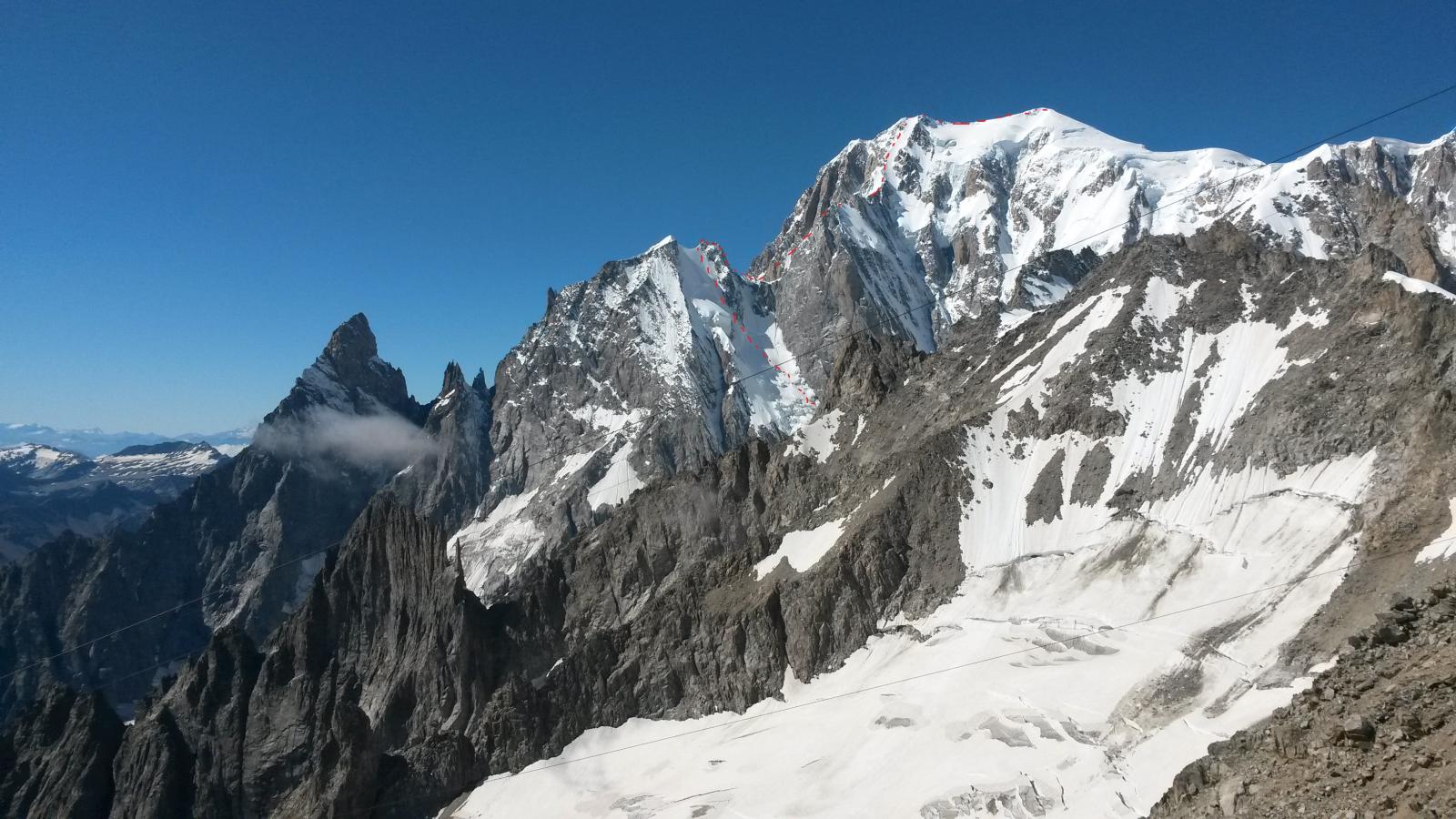
Itinerario alpinistico di notevole sviluppo e impegno fisico. Ambiente grandioso e selvaggio.
Considerare che la ritirata una volta attaccata la parete Nord della Blanche è a dir poco problematica.
Avvicinamento
Considerare che la ritirata una volta attaccata la parete Nord della Blanche è a dir poco problematica.
Da La Palud (Courmayeur) funivia per il Rifugio Torino
Descrizione
GIORNO 1
Dal rifugio Torino inoltrarsi nel Cirque Maudit verso il Colle della Fourche e l’omonimo bivacco (ripido canalone in neve a sinistra dell’evidente gendarme).
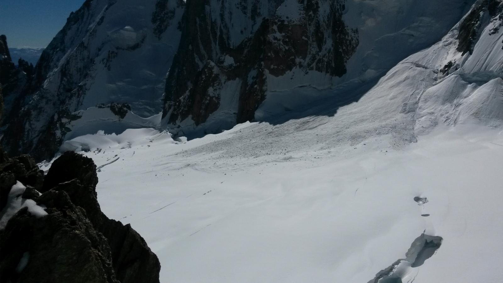
Dal colle ridiscendere sul ghiacciaio della Brenva (spesso una corda fissa agevola la prima parte della discesa e poi si procede disarrampicando e con una possibile doppia per scavalcare la terminale).
Puntare quindi all’evidente colle Moore facendo attenzione agli enormi crepacci del ghiacciaio. La terminale del Moore si attraversa in genere molto a destra per poi raggiungere il colle con un lungo traverso subito sopra la stessa.
Si ridiscende quindi sull’altro versante prima lungo il canalino nevoso sottostante il colle, poi attraverso una serie di doppie da 30m le cui soste si trovano procedendo continuamente in diagonale verso sinistra (faccia a valle). L’ultima, a filo della neve, permette il passaggio della terminale.
Procedendo qualche centinaio di metri in direzione Italia si reperiscono delle cengie utili per bivaccare poco sopra il ghiacciaio.
GIORNO 2
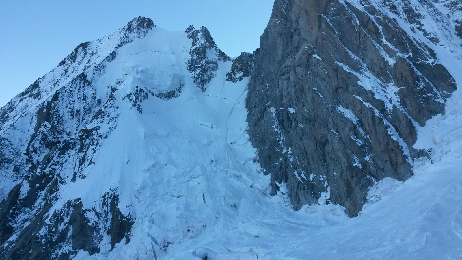
Ridiscesi sulla Brenva, si attraversa il ghiacciaio sottostante puntando verso la verticale del Colle di Peuterey. Un giro largo sulla sinistra, a filo crepacci, consente di stare un po’ alla larga dai seracchi della Poire e portarsi al riparo del Pillier d’Angle.
Si risale quindi la parete nord dell’Aiguille cercando di non restare troppo sotto l’enorme seracco e seguendo il canale fra il seracco stesso ed il colle di Peuterey.
Dal seracco la pendenza si accentua (50-55°) fino all’uscita in cresta a sinistra della Pointe Centrale (vera vetta dell’Auguille Blanche 4.114m) raggiungibile per facili roccette.
Con una doppia si scende quindi nel’intaglio verso la punta NW e da qui con una serie di doppie di 30m (diverse possibilità di sosta, utile un’abalakov per passare la terminale) si arriva al ghiacciaio del Colle di Peuterey.
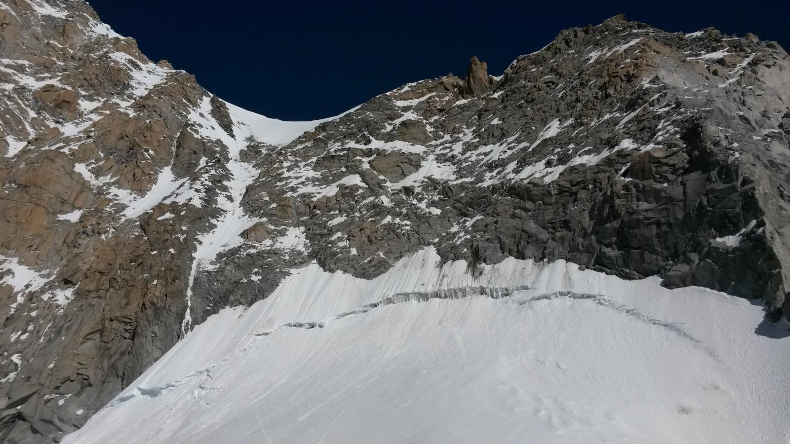
Dal colle si ri-raggiunge la cresta di Peuterey poco oltre il Pillier d’Angle attraverso il couloir Eccles (facile misto iniziale per l’accesso e poi 50-55° in neve). La terminale si passa in genere a sinistra puntando ad uno stretto colatoio di ghiaccio e poi risalendo un po’ a destra. Attenzione che essendo esposto a Est, il couloir inizia presto a scaricare. Nella strettoia tenersi a destra per ripararsi quanto possibile.
Raggiunta nuovamente la cresta verso quota 4.350, si segue prima un esposto traverso e poi la logica cresta di Peuterey fino a sbucare sul Monte Bianco di Courmayeur e attraverso il Colle Major sulla vetta del Bianco.
Discese possibili usando le varie “normali” di salita al Bianco.
- Bibliografia:
- F. Damilano - Neige, glace et mixte tomo 2; G. Rebuffat - Il massiccio del Monte Bianco, le 100 più belle ascensioni (#95)
Nelle vicinanze Mappa
Itinerari
27/12/2015 AO, Courmayeur D+ 251 m AD Nord
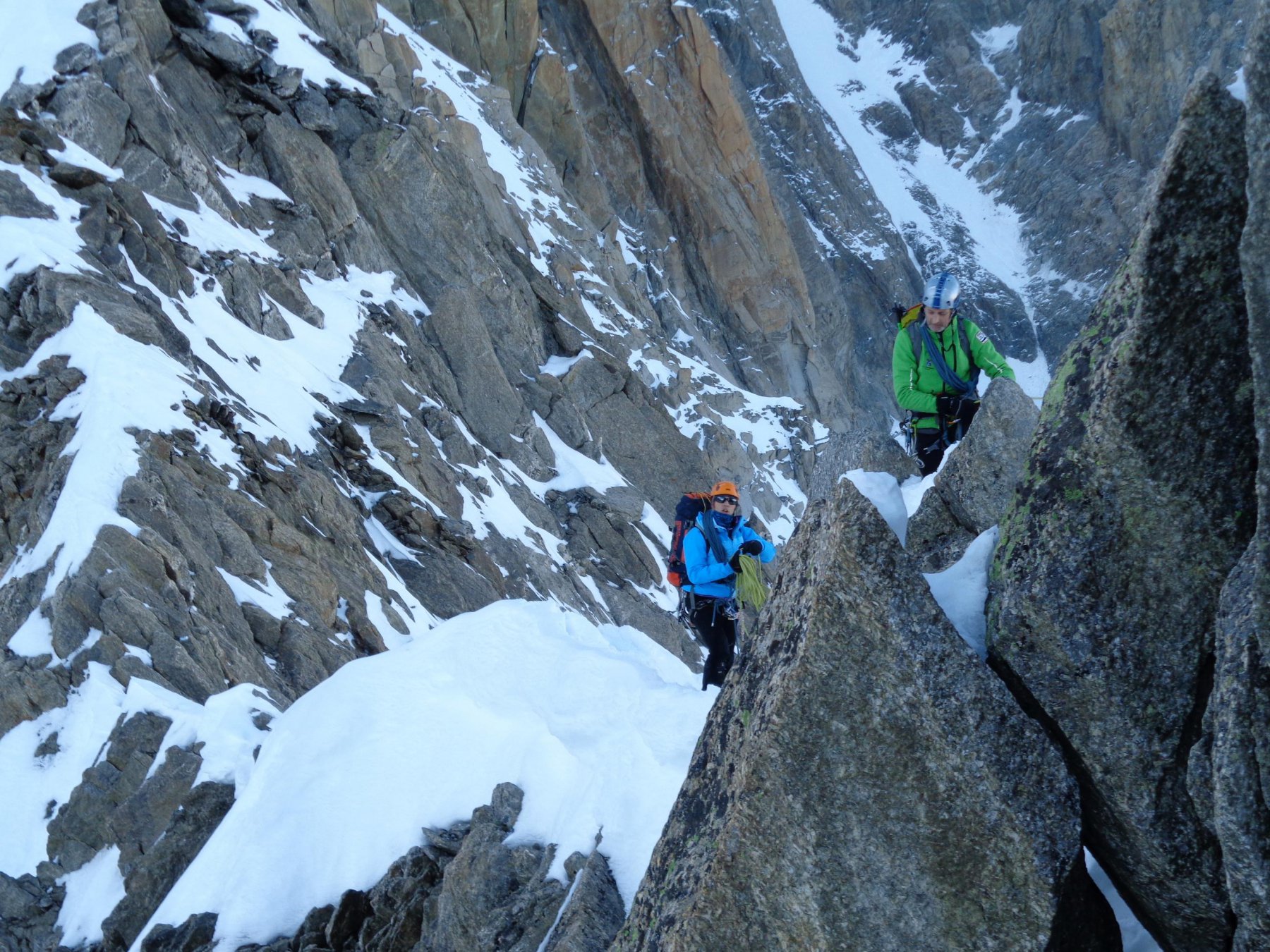
Fourche (Col de la) da Punta Helbronner
 50m
50m
17/06/2024 AO, Courmayeur D+ 750 m PD+ Sud-Est
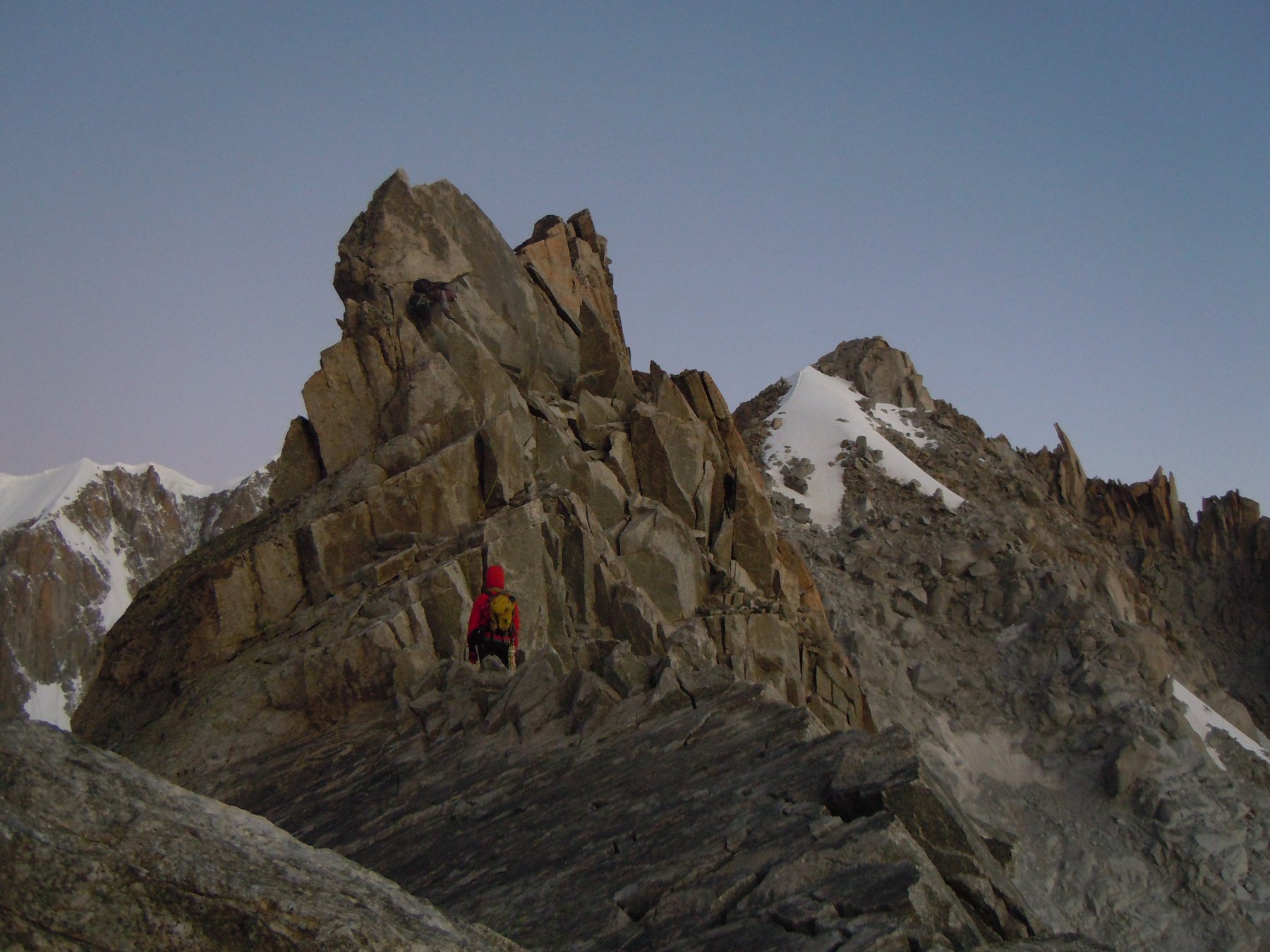
Tour Ronde via Normale per la Cresta SE
 50m
50m
10/05/2015 AO, Courmayeur D+ 600 m ED- Nord-Est
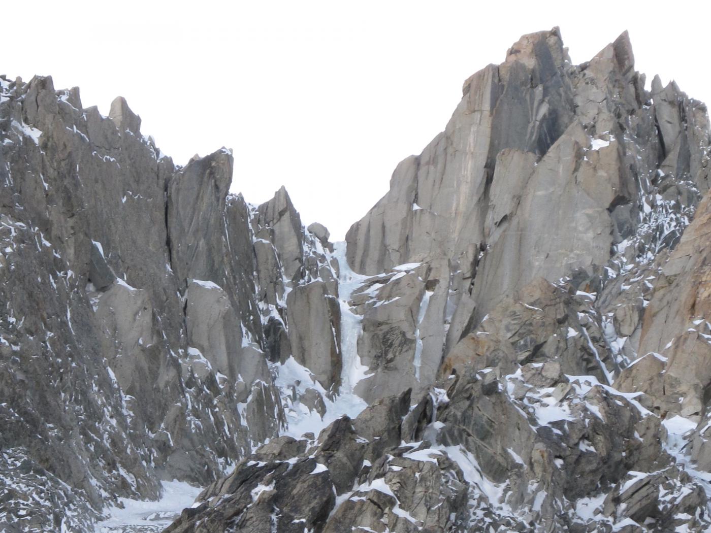
Maudit (Mont) A l’est Rien de Nouveau
 50m
50m
26/03/2022 AO, Courmayeur D+ 600 m TD Nord
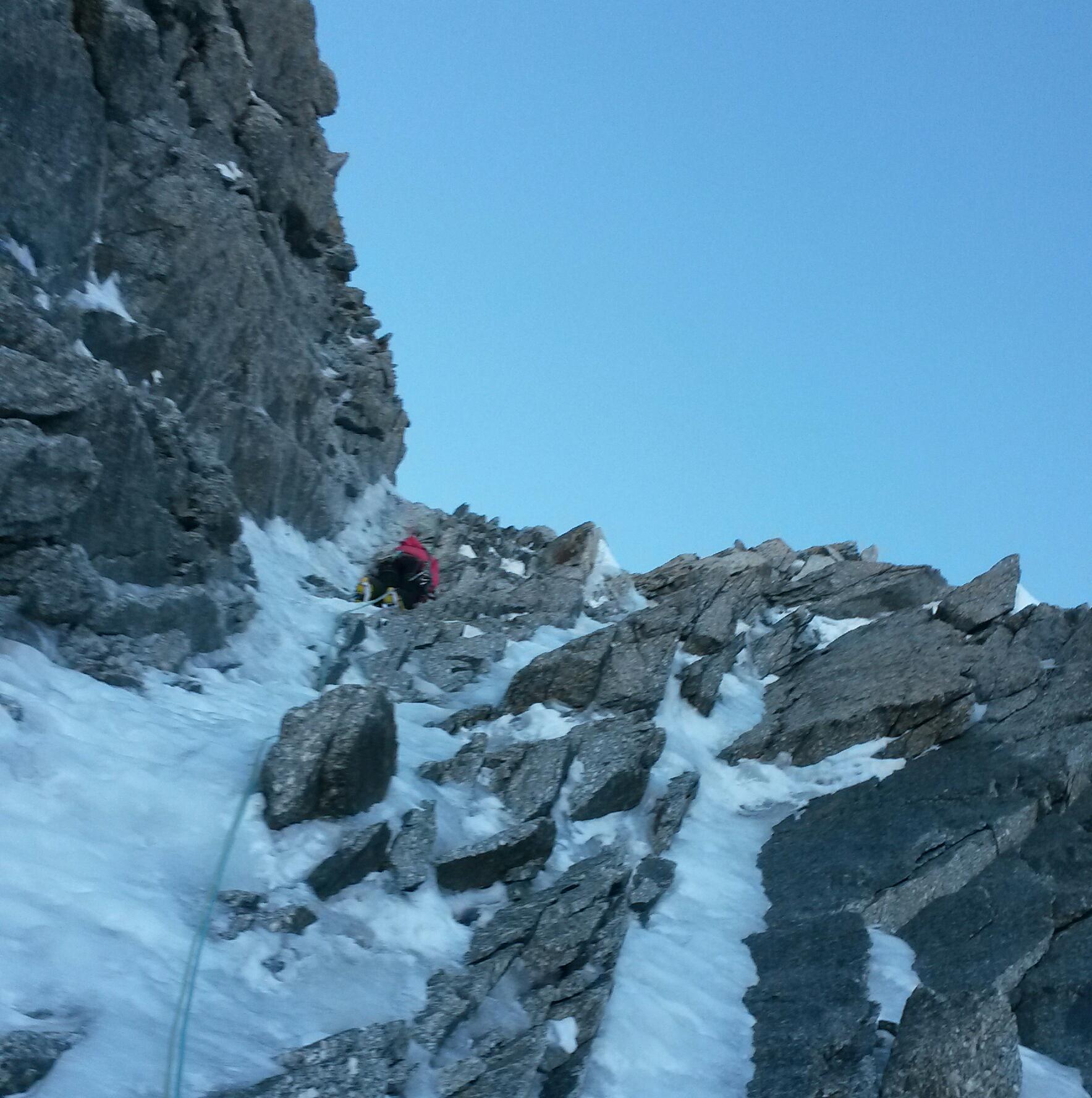
Maudit (Mont) diretta Roger-Baxter-Jones
 50m
50m
12/07/2026 AO, Courmayeur D+ 322 m PD+ Nord-Est
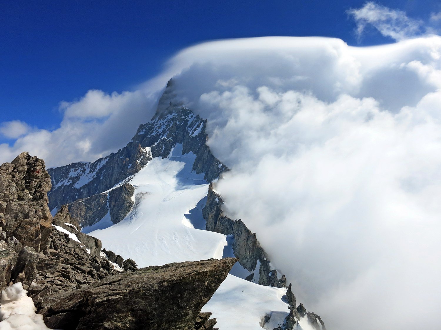
Marbrées (Aiguilles, Punta Nord) Cresta NE
 50m
50m
05/12/2016 AO, Courmayeur D+ 244 m PD+ Nord-Ovest
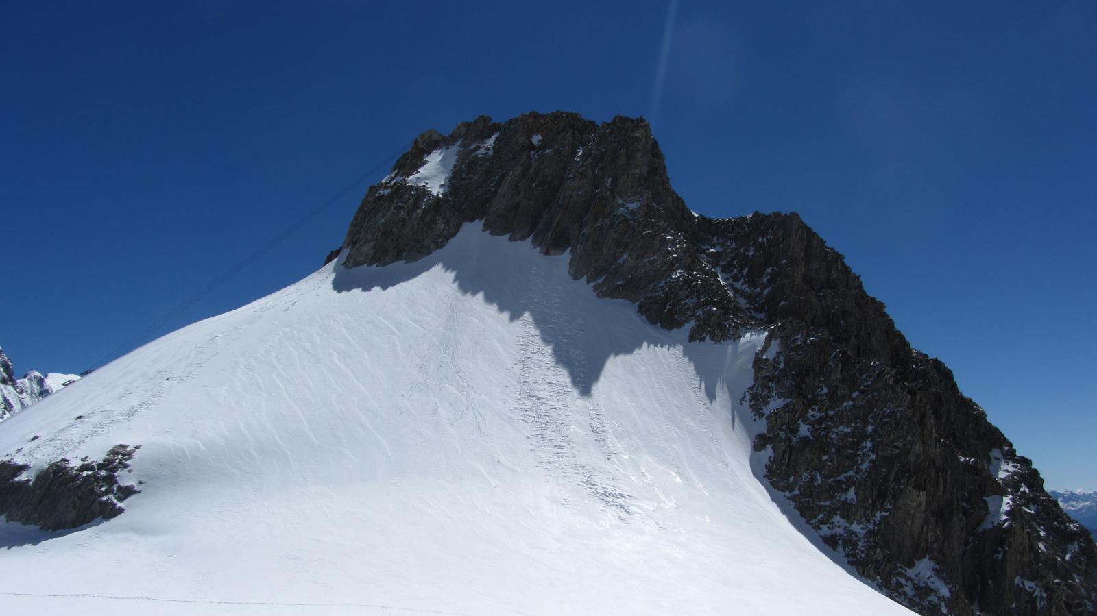
Grand Flambeau cresta nord e versante ovest
 50m
50m
23/06/2026 AO, Courmayeur D+ 638 m AD Sud-Ovest
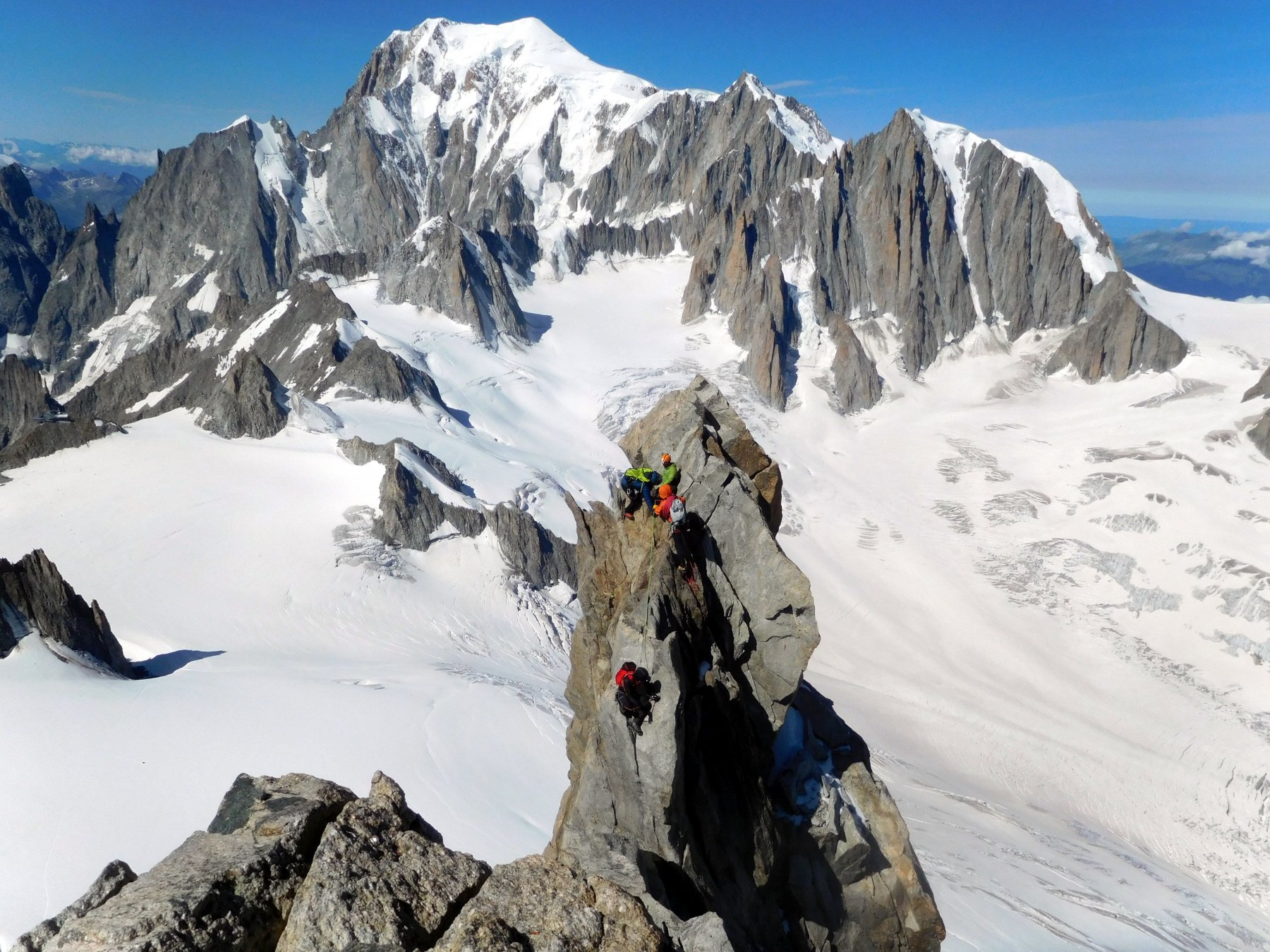
Dente del Gigante Via Normale
 50m
50m
02/06/2023 AO, Courmayeur D+ 250 m PD+ Varie
Vierge (la) da Punta Helbronner
 50m
50m
08/06/2025 AO, Courmayeur D+ 400 m PD- Ovest
Toules (Aiguilles des) Versante NO e cresta NO
 50m
50m
14/07/2024 AO, Courmayeur D+ 850 m F Varie
Lachenal (Pointe) Via Normale da Punta Helbronner
 50m
50m