1.1Km
1.1Km

Note
 50m
50m
50m
50m
50m
950m
2.6Km
2.6Km
2.6Km
50m
50m
50m
50m
50m
950m
2.6Km
2.6Km
2.6Km
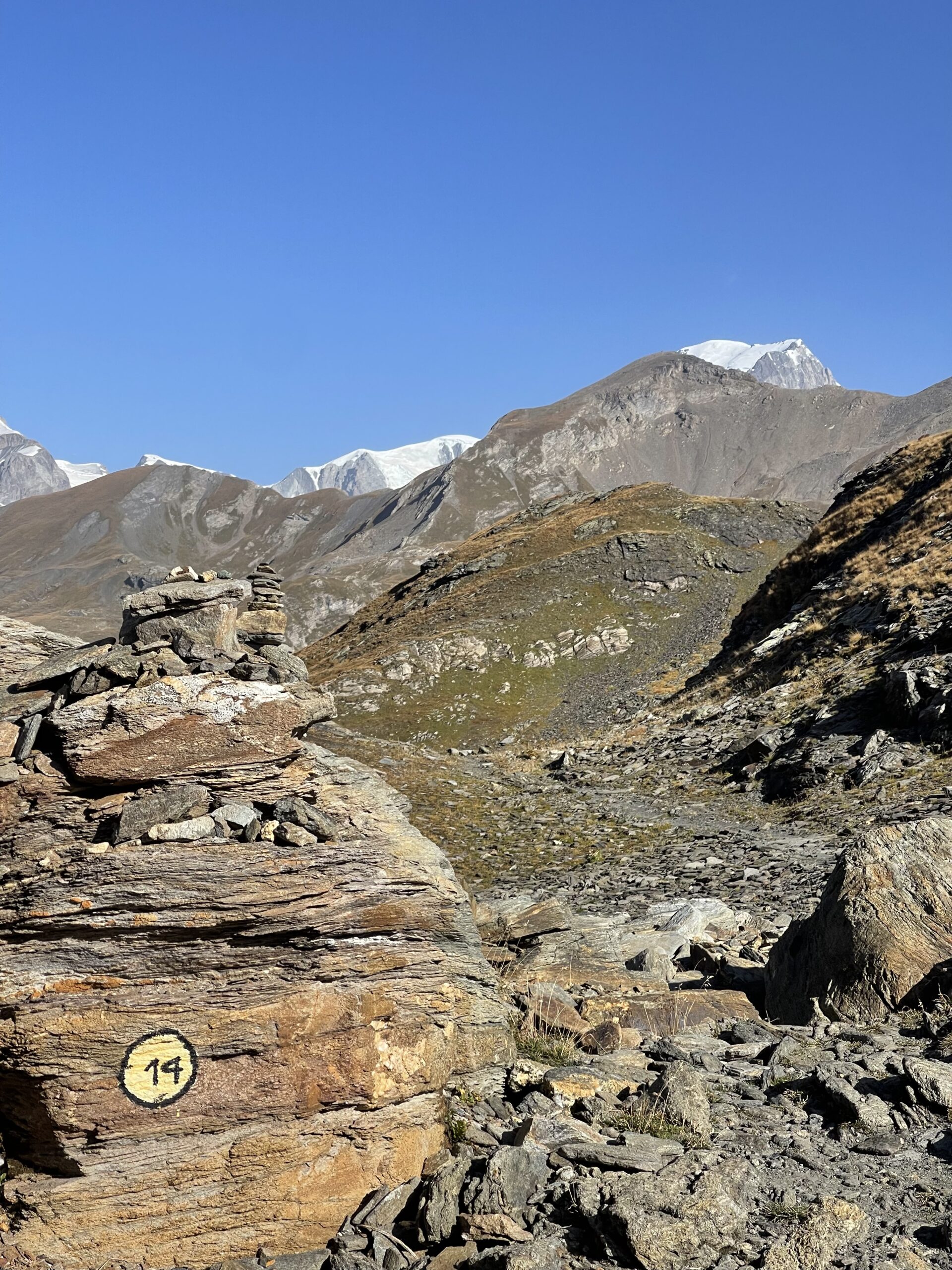
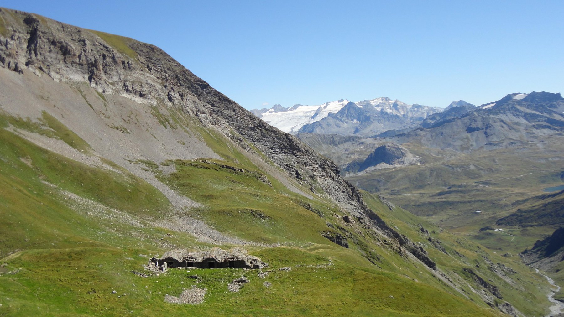
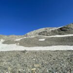
Attenzione ad un breve passaggio oltre il piccolo colle della Punta Rossa.
Avvicinamento
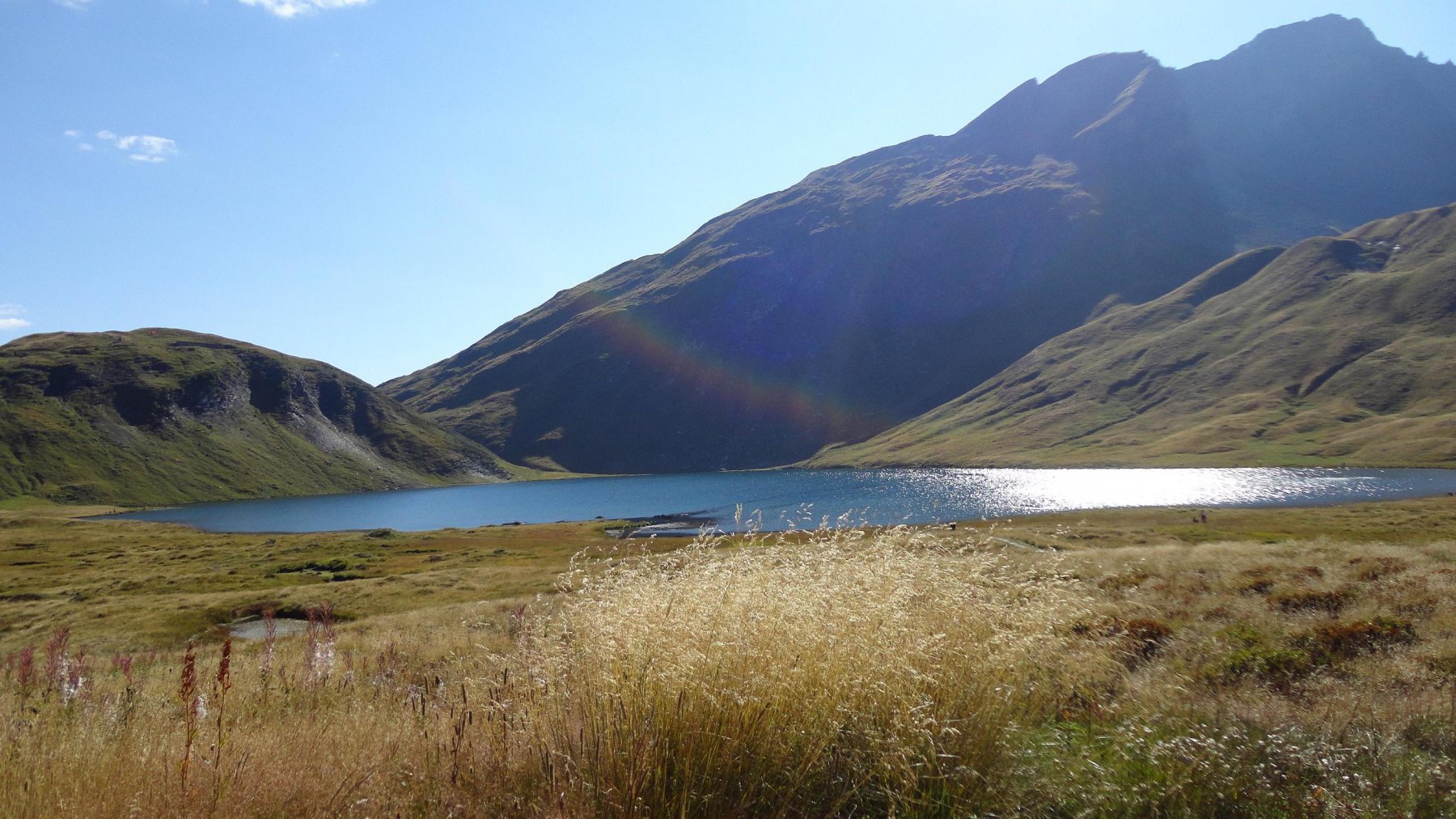
Dall'uscita Morgex A5 si imbocca la SS 26 in direzione Courmayeur. A Pré St.Didier si prende a sx per La Thuile. Raggiunto e superato il centro abitato si prosegue verso il Passo del Piccolo S.Bernardo fino ai piccoli spiazzi situati in prossimità del Lago di Verney
Descrizione
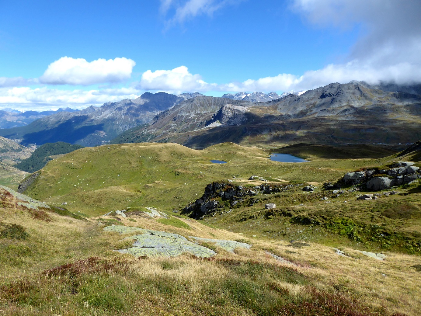
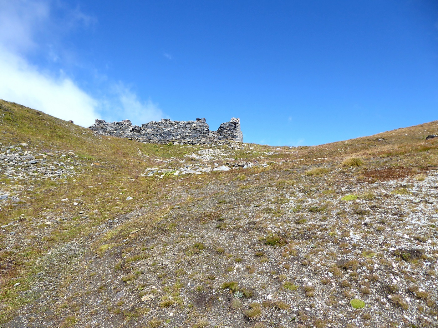
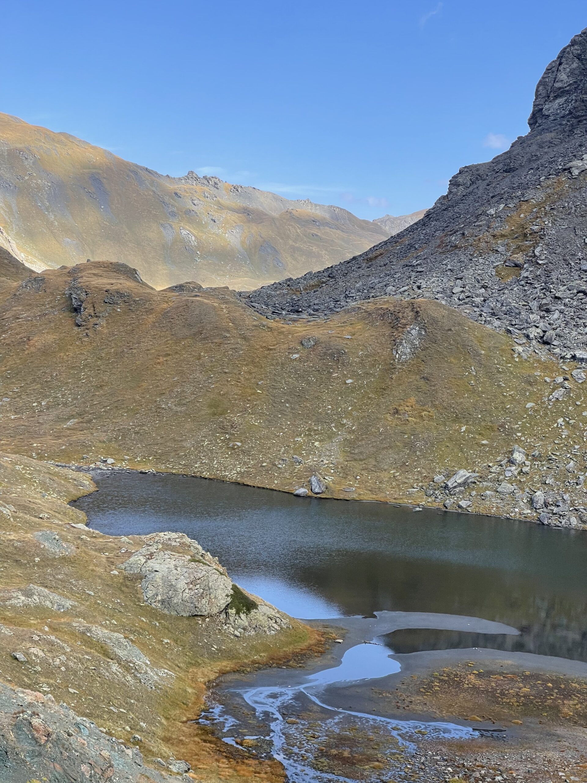
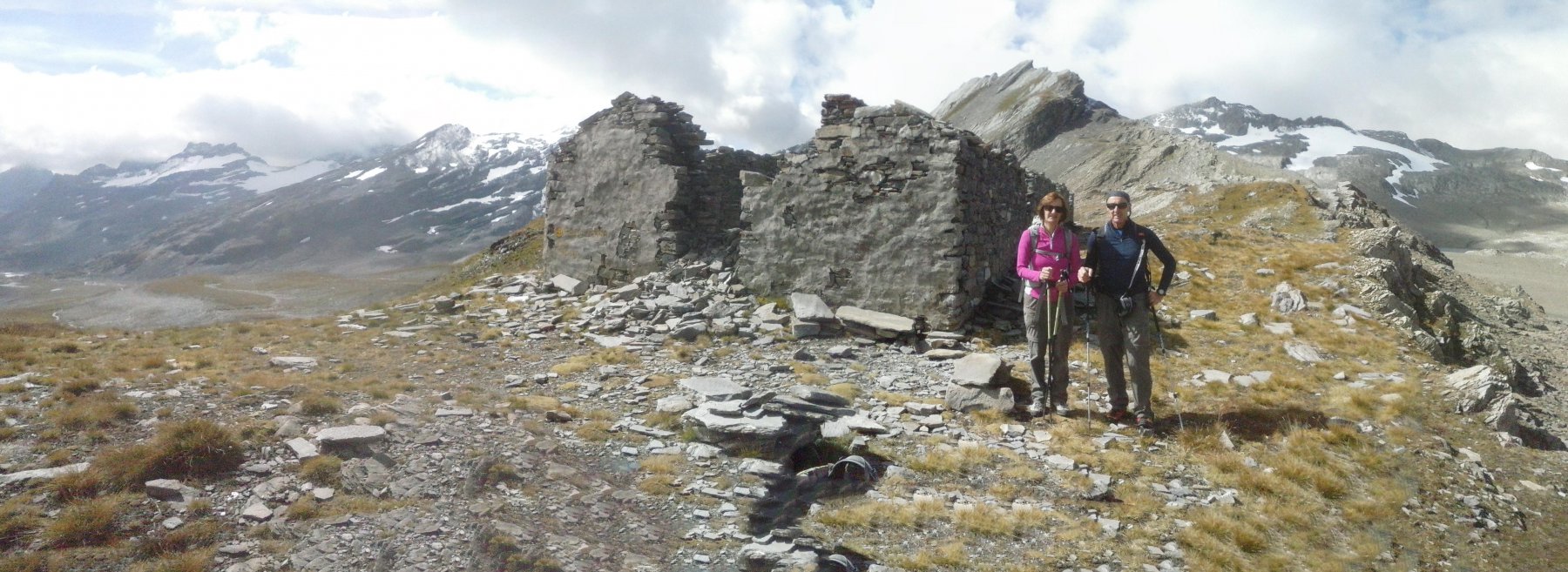
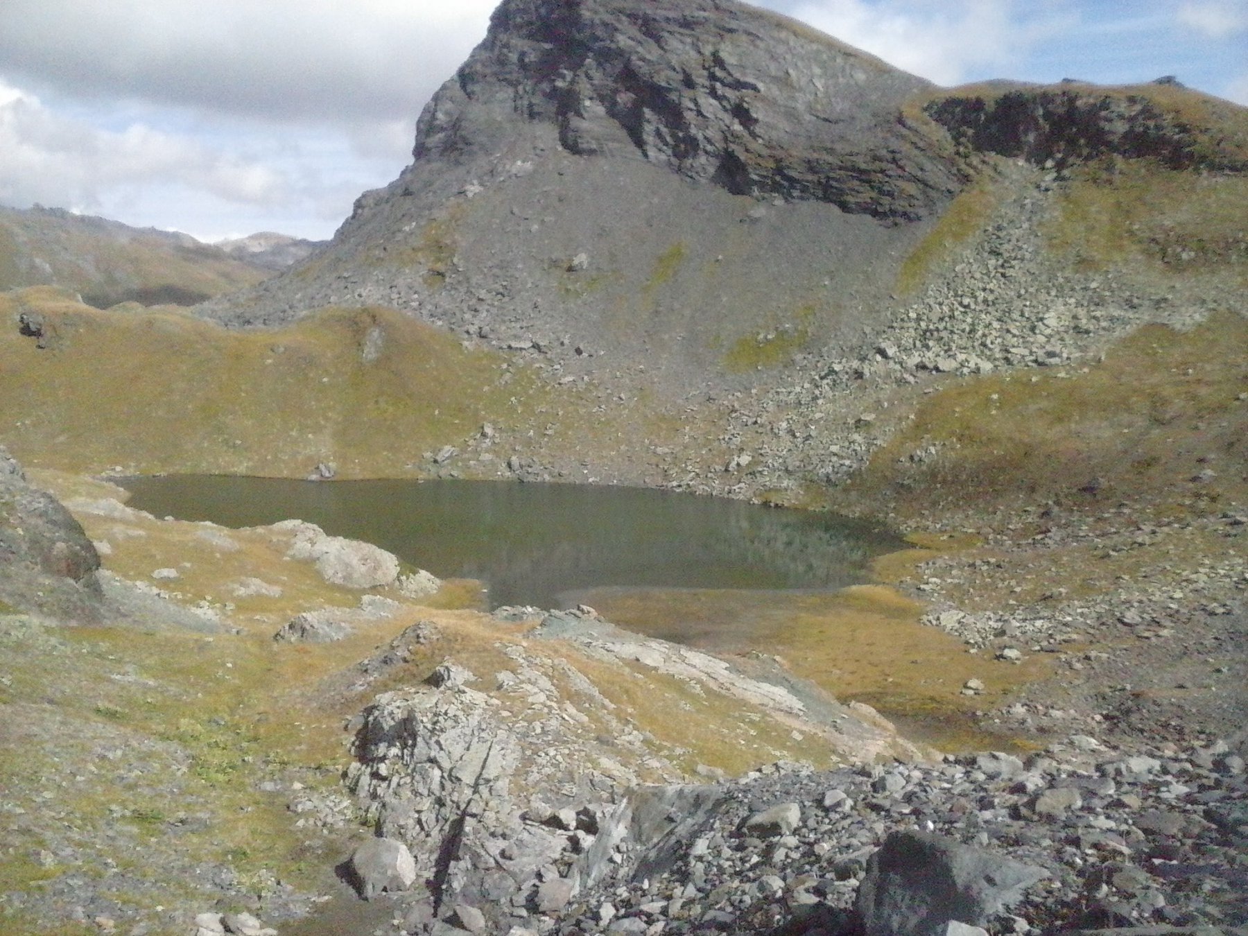
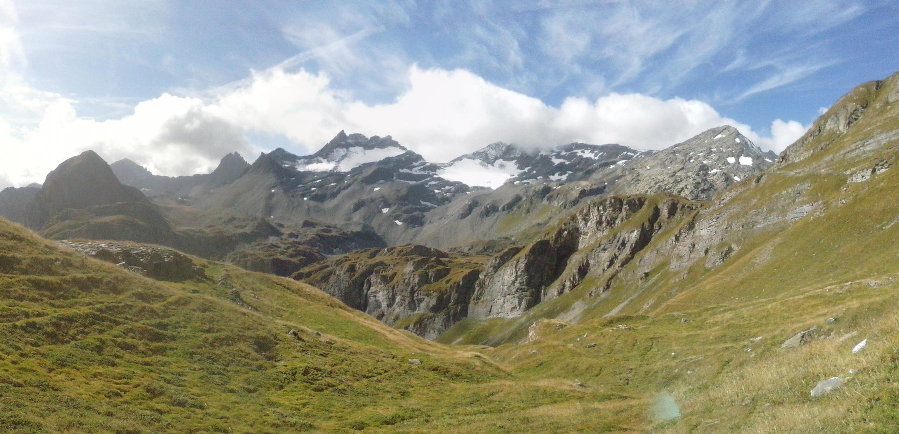
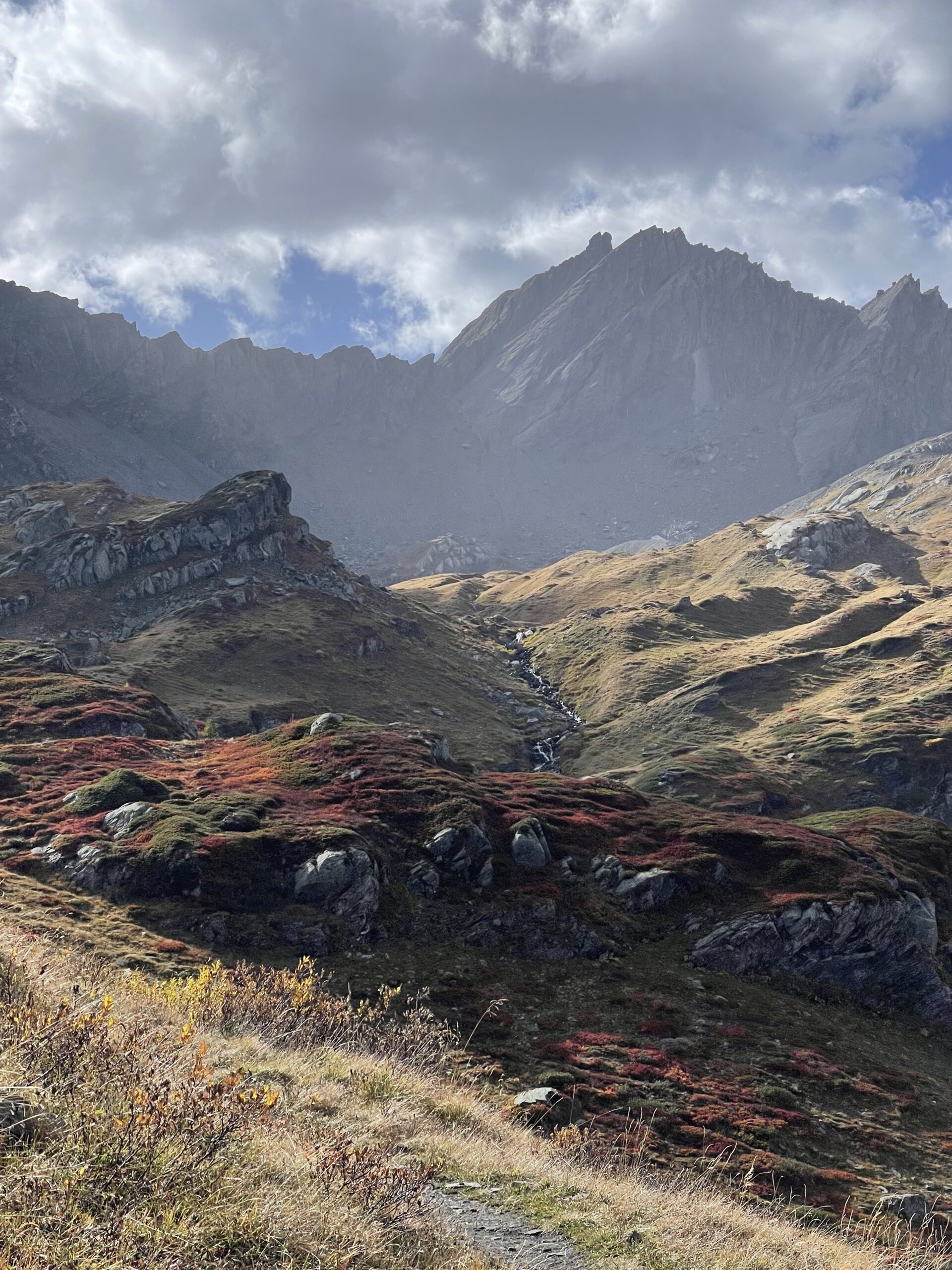
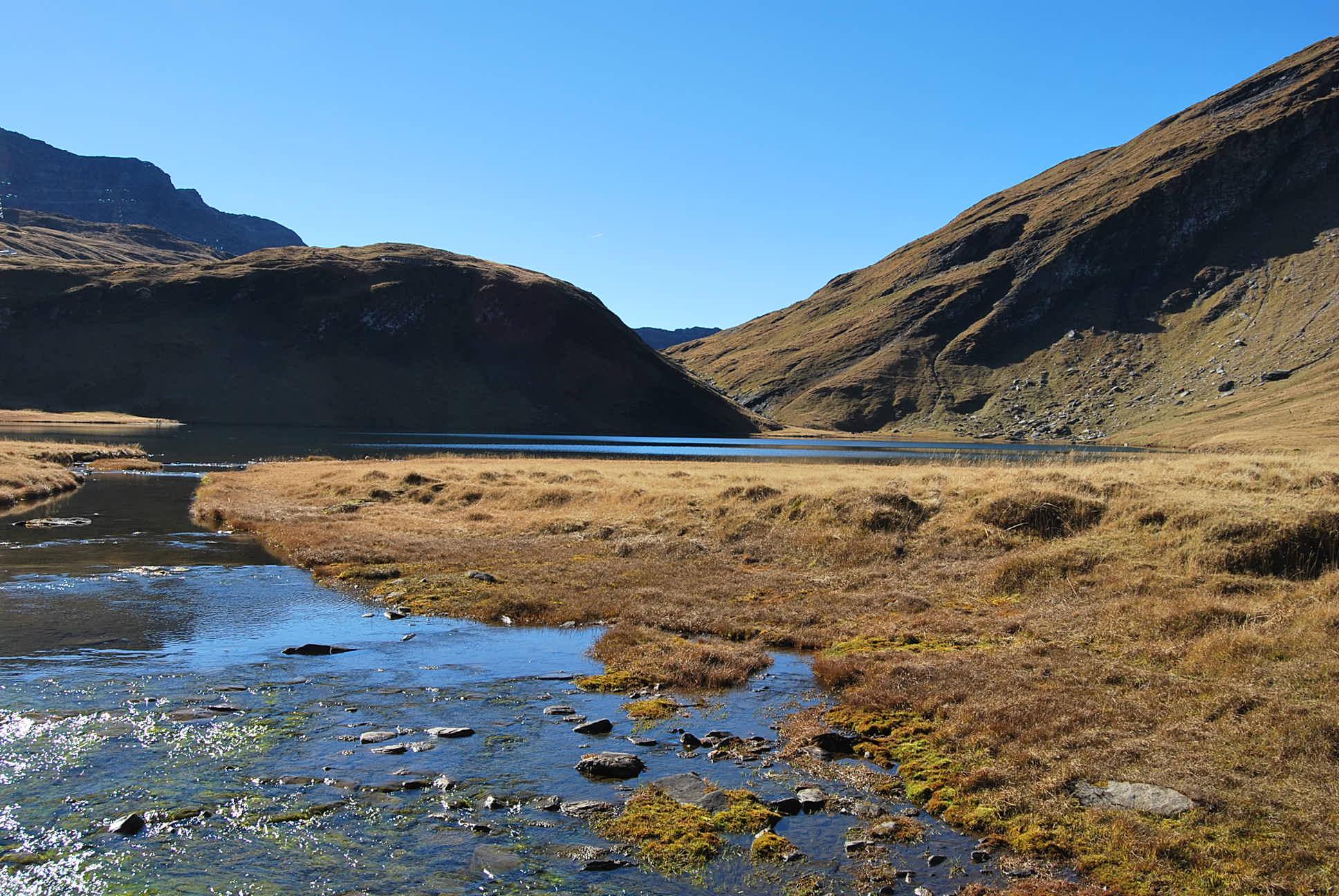
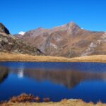
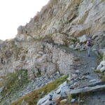
Dal piccolo parcheggio del Lago Verney seguire ampia sterrata che perde qualche metro di quota. Abbandonare la strada per il sentiero n. 14 a sx. Si raggiunge seguendo i segni il passo della Punta Rossa. Perdendo quota si compie un traverso (attenzione ad un breve passaggio ….) , poi con alcuni saliscendi si vede il lago Tormottaz. In prossimità del lago proseguire seguendo le frecce gialle (sembra che il sentiero sia stato tracciato e segnato abbastanza recentemente….) fino a raggiungere il bivio con il sentiero n.10 (che utilizzeremo per il rientro) . Proseguire a sx nel vallone , rimontando il vallone fino a raggiungere il Colle di Bassa Serra con ruderi di casermette. A ritroso sino al bivio, breve salita . Scavalcato il costone si scende ai ruderi dell’alpeggio Crotte. Una ripida discesa porta a quota ca 2300, dove il tracciato si distende a mezzacosta raggiungendo i ruderi di Biolettaz. Proseguire fino all’alpeggio Plan Veyle raggiunto da strada agricola. Percorrere poche decine di metri della sterrata e deviare a dx su mulattiera a raggiungere una serie di caseggiati. Qui il percorso diventa un po’ di difficile individuazione…. scendere tra i pascoli sino al ponte sul torrente. Si supera e si imbocca a dx la sterrata fino all’alpe Le Balmette e continuare a sx , fino a raggiungere il percorso di andata.
- Cartografia:
- carta dei sentieri n.2 La Thuile - Piccolo S.Bernardo Escursionista Editore
Nelle vicinanze Mappa
Itinerari
22/08/2025 AO, La Thuile D+ 1200 m EE/F Sud-Est
Miravidi (Monte) e Punta dei Ghiacciai dal Lago Verney
 50m
50m
29/08/2024 AO, La Thuile D+ 1350 m EE Varie
Lechaud (Punta) dal Lago Verney, anello per Vallone di Breuil e Lago Tormotta
 50m
50m
18/08/2025 AO, La Thuile D+ 1050 m EE Varie
Veys (Aiguille) dal Lago Verney
 50m
50m
01/09/2006 AO, La Thuile D+ 980 m EE Sud
Fornet (Punta) dal Lago Verney
50m
16/08/2016 AO, La Thuile D+ 751 m EE Tutte
Rousses (Sommet des) dal Lago Verney per il Colle della Pointe Rousse
 50m
50m
30/08/2025 AO, La Thuile D+ 850 m E Sud-Est
Tormotta o Tormottaz dal Lago Verney
 50m
50m
12/08/2025 AO, La Thuile D+ 850 m EE Varie
Valaisan (Monte) dal Colle del Piccolo San Bernardo, anello
 950m
950m
31/05/2014 Savoie, Séez D+ 258 m E Ovest
Traversette (Col de la) dal Colle del Piccolo San Bernardo
 2.6Km
2.6Km
14/11/2015 Savoie, Séez D+ 734 m EE Varie
Sans Fond (Lac, Pointe du) dal Colle del Piccolo San Bernardo
 2.6Km
2.6Km
31/05/2015 Savoie, Séez D+ 615 m EE Nord
Belleface (Roc du) dal Colle del Piccolo San Bernardo
 2.6Km
2.6Km