8.1Km
8.1Km
Avvicinamento
 2.8Km
3.6Km
3.6Km
3.6Km
3.6Km
3.6Km
3.6Km
3.6Km
3.6Km
2.8Km
3.6Km
3.6Km
3.6Km
3.6Km
3.6Km
3.6Km
3.6Km
3.6Km
Da Domodossola si prende la strada per la Val Bognanco giunti alla località Fonti si prosegue in direzione di Graniga, dopo aver percorso alcuni Km voltare a sinistra seguendo le indicazioni per Pizzanco.
Proprio all'ingresso del paese è possibile parcheggiare la macchina nella comoda piazzetta
Descrizione
Proprio all'ingresso del paese è possibile parcheggiare la macchina nella comoda piazzetta
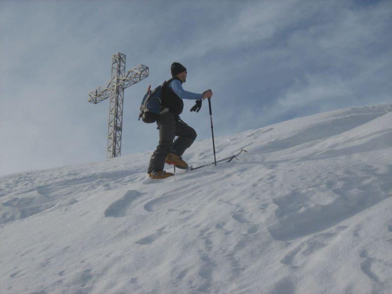
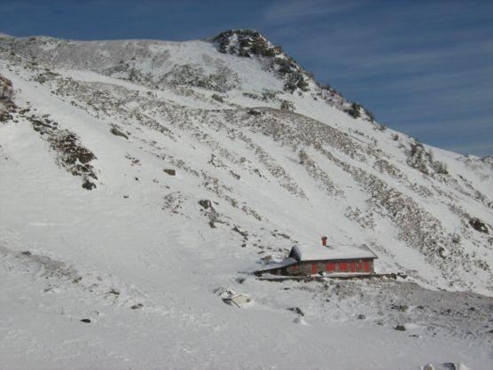
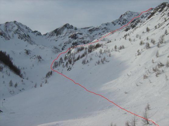
Poco oltre le case parte la mulattiera che conduce all’Alpe Vallaro 1823 m in direzione della croce ben visibile sopra al paese. Salire il sentiero per poco, fino ad un bacino dell’acqua, quindi attraversare a sinistra i ripidi pendii su percorso evidente fino ad arrivare ad un alpeggio, superare ancora un rio per raggiungere il dosso successivo, quello da seguire per arrivare direttamente alla croce del Vallaro.
Il percorso in questa prima parte è davvero complicato: molto ripido, facilmente ghiacciato al mattino visto l’esposizione sud e in parte in fitta boschina.
E’ possibile salire fino al Vallaro anche seguendo integralmente la mulattiera, solo che il percorso risulta più lungo e più esposto a valanghe, meglio questa via in stagione avanzata quando la parte bassa risulta sgombera di neve.
Dall’Alpe Vallaro invece cambia completamente il paesaggio e si apre un bellissimo vallone che lo si percorre interamente sino all’Alpe Laghetto 2046 m.
Proseguire quindi per i dolci pendii sulla destra che portano ad un’ampia conca dalla quale parte sulla sinistra il bel canale che che sale alla Cima d’Azoglio.
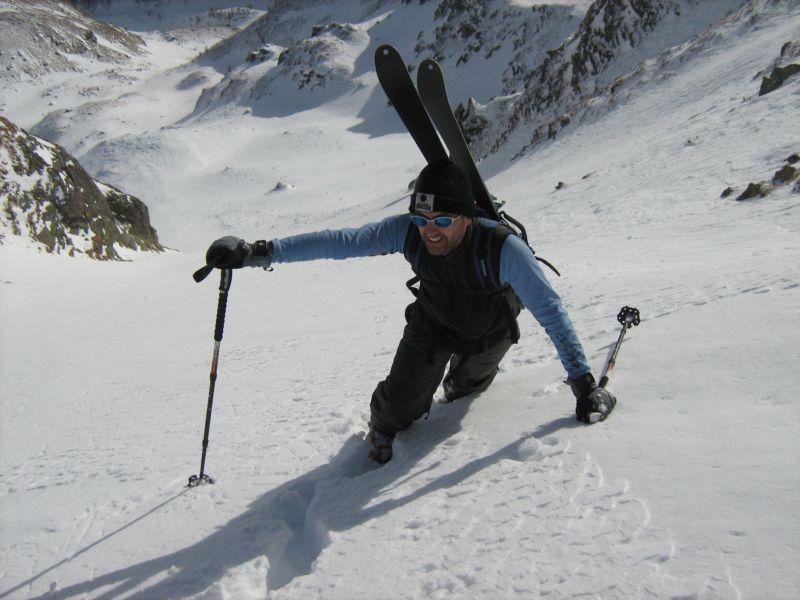
Dalla conca ci si alza su pendii sostenuti, 200 m max 35°, poi il canale si stringe, 100 m 40°, e si giunge ad un ripiano dove parte il canale superiore, altri 100 m 38° – 40° max, che termina ad una trentina di metri dalla cima.
Percorre quindi l’ultimo tratto di cresta senza particolari difficoltà.
Oltre questa possibilità alla cima salgono dalla conca altri 3-4 ramificazioni di canali, tutti fattibili, non resta che scegliere.
- Cartografia:
- Kompass 89
Nelle vicinanze Mappa
Itinerari
08/01/2020 VB, Bognanco D+ 1400 m BS Est
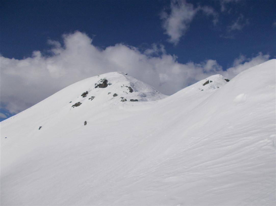
Verosso (Cima) dal Versante Est
 2.8Km
2.8Km
08/03/2025 VB, Bognanco D+ 1511 m BSA Nord-Est
Azoglio (Cima d’) da San Bernardo
 3.6Km
3.6Km
13/04/2019 VB, Bognanco D+ 1028 m BS Sud
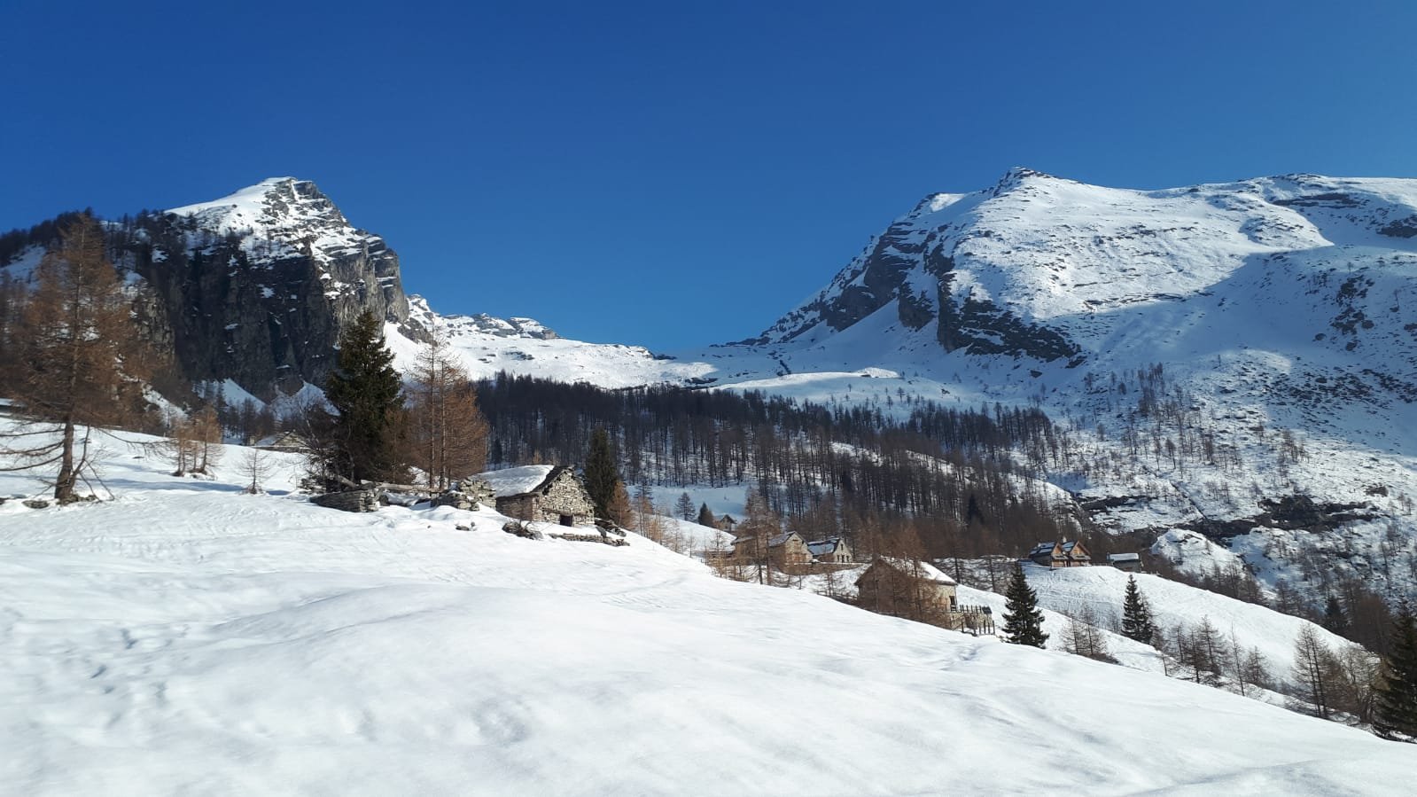
Giezza (Pizzo) da San Bernardo
 3.6Km
3.6Km
26/02/2017 VB, Bognanco D+ 650 m MS Sud-Est
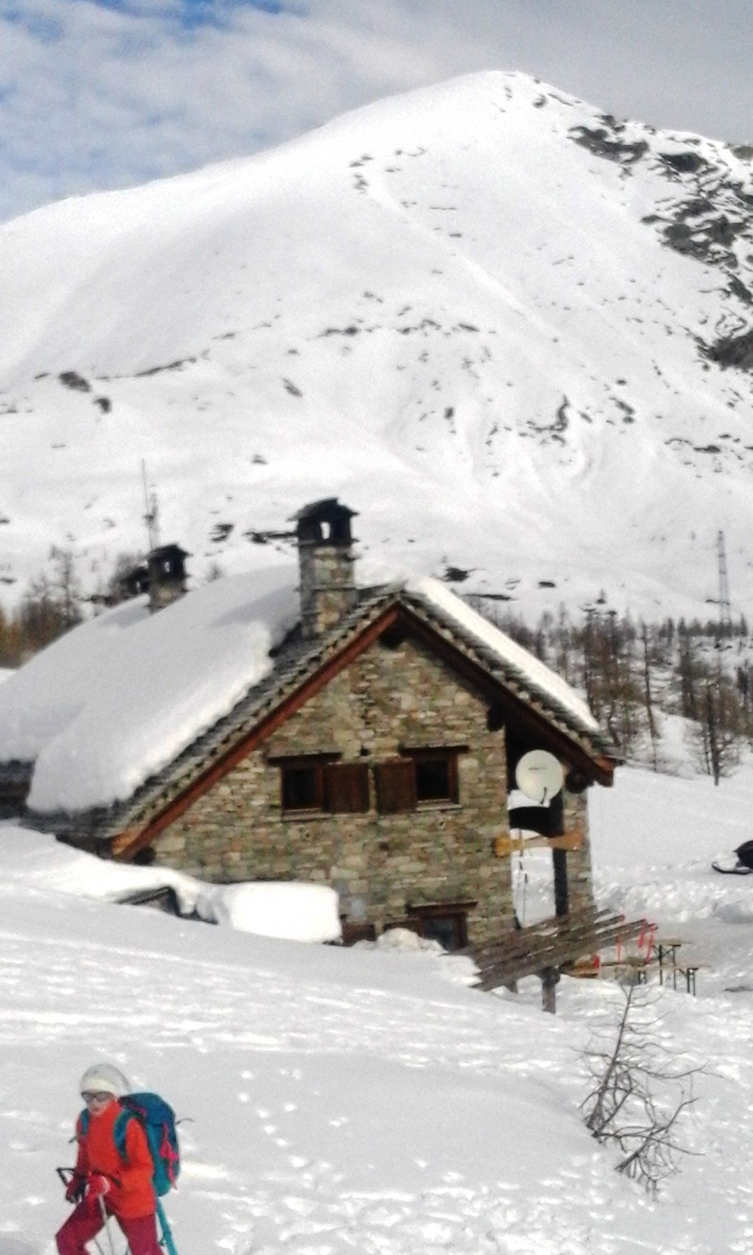
Tirone (Cima del) da San Bernardo per il Rifugio Gattascosa
 3.6Km
3.6Km
02/01/2025 VB, Bognanco D+ 607 m MS Sud-Est
Mattaroni (Cima) da San Bernardo
 3.6Km
3.6Km
12/02/2011 VB, Bognanco D+ 1558 m BSA, F Sud
Giezza (Pizzo) da San Bernardo
3.6Km
26/02/2026 VB, Bognanco D+ 990 m BS Sud-Est
Pioltone (Pizzo) o Camoscellahorn da San Bernardo
 3.6Km
3.6Km
28/02/2026 VB, Bognanco D+ 1344 m BS Varie
Verosso (Cima) da San Bernardo
 3.6Km
3.6Km
01/02/2015 VB, Bognanco D+ 1000 m OS Sud
Dosso (il) o Dossaiolo da San Bernardo
 3.6Km
3.6Km
26/03/2016 VB, bognanco D+ 700 m BS Sud-Est
Paione (Lago superiore di) da San Bernardo
 3.6Km
3.6Km