 250m
250m
Note
 50m
2Km
2.6Km
2.9Km
2.9Km
2.9Km
3.5Km
50m
2Km
2.6Km
2.9Km
2.9Km
2.9Km
3.5Km
250m
1.3Km
2.9Km
3.8Km
4.4Km
6.2Km
6.4Km
6.7Km
6.8Km
6.9Km
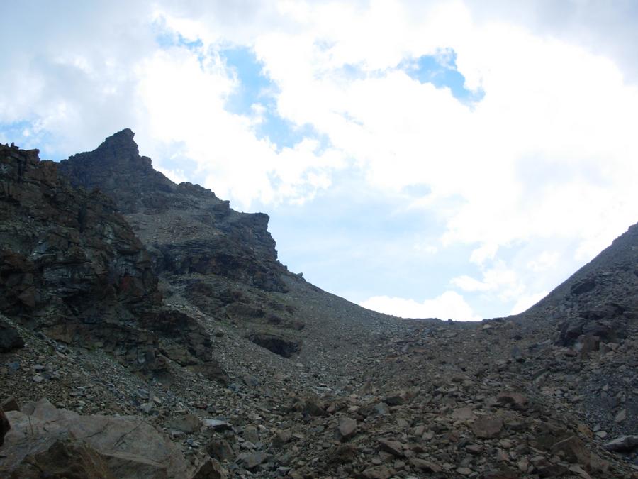
L'itinerario percorre la via più breve e diretta dal versante Sud con partenza dal fondovalle ed è ottimale da percorrere nelle mezze stagioni. Tutto il percorso è ben tracciato mentre a tratti mancano le segnalazioni. Si superano alcuni tratti molto ripidi.
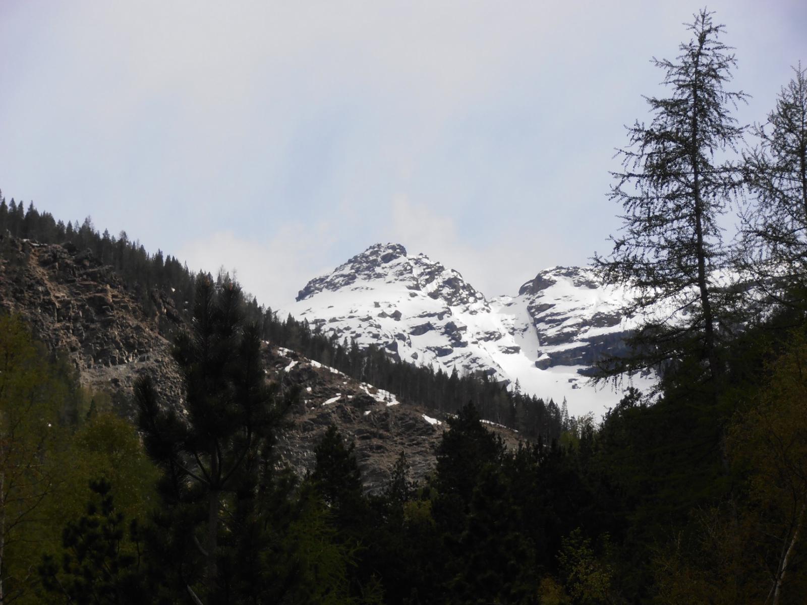
Dalla vetta il panorama è eccezionale: oltre alla vista sul Cervino e sul Rosa, è un ottimo belvedere sulla Becca di Luseney e le altre cime che compongono lo spartiacque tra il Vallone di Saint-Barthelemy e la Valpelline. Davanti a noi via la vallata centrale ove spiccano l'Emilius la Tersiva ed in secondo piano la Grivola.
Avvicinamento
Dalla vetta il panorama è eccezionale: oltre alla vista sul Cervino e sul Rosa, è un ottimo belvedere sulla Becca di Luseney e le altre cime che compongono lo spartiacque tra il Vallone di Saint-Barthelemy e la Valpelline. Davanti a noi via la vallata centrale ove spiccano l'Emilius la Tersiva ed in secondo piano la Grivola.
usciti al casello di Chatillon si procede in direzione Aosta, superando Chambave fino ad arrivare a Champagne. Da qui si prende la strada che sale a Verrayes ed appena prima di arrivare alla borgata Oley Dessus si svolta in salita seguendo l'indicazione per un'agriturismo. Pochi metri e c'è il parcheggio di Cretaz.
Descrizione
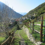
Dalla frazione di Cretaz sul fondo valle (sentiero n.1), si attraversa un bosco di roverella quando raggiungendo il promontorio della cappella di Marseiller. Uscendo dall’abitato di Marseiller, dopo aver percorso il sentiero in mezzo ai vigneti, si risale verso Verrayes.
Il sentiero si inerpica in mezzo ad un corridoio di roccia sino ad una radura in mezzo ai larici.
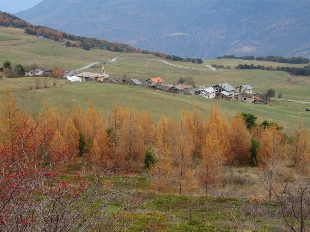
A valle del capoluogo, vi è un vasto terrazzamento, un tempo dedicato alla coltura della segale, ora reso a prato. Dalla piazzetta di Verrayes che si raggiunge in breve (sentiero n.2), si prosegue in direzione Plan d’Arey e poi si inizia a salire attraverso l’arboretum Vescoz (l’itinerario 2 rappresenta la dorsale principale in direzione nord/sud, anche se l’arboreto è a sua volta percorso da propri tracciati numerati).
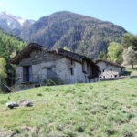
Proseguendo ancora, si supera Dorinaz, si costeggia Grand Villa e si raggiunge Fontane (tutta la zona è stata interessata da importanti opere di sistemazione agricola). Aggirato l’alpeggio si prosegue sempre nella stessa direzione fino a ricongiungersi al sentiero n.1 alla quota di circa 1900 metri. Si raggiunge in seguito il Colle d’Aver posto sotto la cima omonima. Da qui in breve si tocca la vetta.
- Cartografia:
- L'escursionista Editore N. 13
Nelle vicinanze Mappa
Itinerari
01/05/2019 AO, Verrayes D+ 1300 m E Sud
Bornes (Col des) da Champagne, anello
 50m
50m
12/06/2021 AO, Verrayes D+ 208 m T Sud
Cammino Balteo tappa n.9 da Verrayes a Nus
 2Km
2Km
14/05/2014 AO, Chambave D+ 700 m E Nord
Ponton (Bosco di) da Thuy
 2.6Km
2.6Km
05/04/2026 AO, Chambave D+ 1250 m E Varie
Saint Evence (Cappella di) da Chambave, anello per il Colle di San Pantaleone
 2.9Km
2.9Km
16/04/2026 AO, Fenis D+ 900 m E Nord
Tolomon (Bec) e Morgnettaz da Arbusseyes, anello per Cerise
 2.9Km
2.9Km
20/09/2015 AO, Fenis D+ 1620 m E Nord
Varotta (Col) da Arbussayes
 2.9Km
2.9Km
12/11/2013 AO, Fenis D+ 987 m E Nord
Ponton (Alpe) da Arbussayes per il vallone del Ponton
2.9Km
26/03/2022 AO, Fenis D+ 470 m E Sud
Cammino Balteo tappa n.20 da Fenis a Chatillon
3.1Km
01/11/2020 AO, Fenis D+ 1960 m E Varie
Corquet (Monte) da Fenis, anello per vallone del Pieiller e Val Clavalitè
3.1Km
11/04/2026 AO, Verrayes D+ 1057 m E Sud
Aver (Becca d’) e Cima Longhede da Grand Villa
 3.5Km
3.5Km
Servizi
250m
1.3Km
Maison Tersiva B&B
Nus
2.9Km
Mathamel Giorgio B&B
Verrayes
3.8Km
Chez Gaillard B&B
Fenis
4.4Km
Blanche Neige Bar
Verrayes
6.2Km
Maison Rosset Rifugio
Nus
6.4Km
Favre Ristorante
Nus
6.7Km
Saint Barthelemy Albergo
Verrayes
6.8Km
del Diavolo Ristorante
Saint-Marcel
6.9Km