 1Km
1Km
Avvicinamento
 2.1Km
2.1Km
2.1Km
2.1Km
2.8Km
5.9Km
5.9Km
5.9Km
2.1Km
2.1Km
2.1Km
2.1Km
2.8Km
5.9Km
5.9Km
5.9Km
1Km
1Km
1Km
1.1Km
1.2Km
1.9Km
2.8Km
3.1Km
4.1Km
7.1Km
.
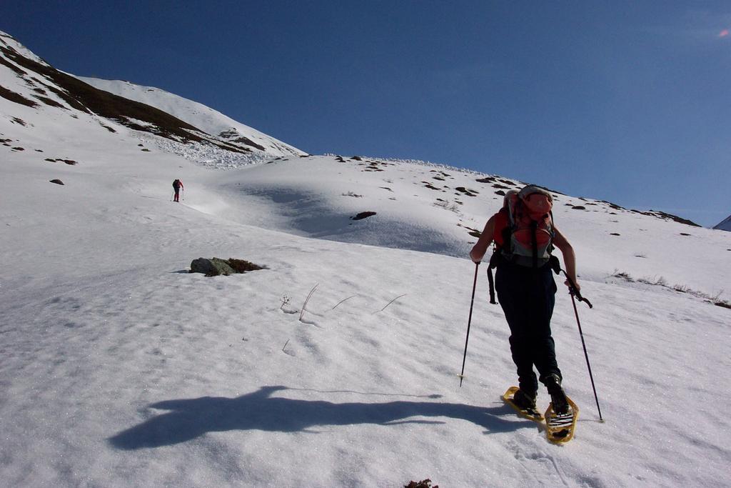
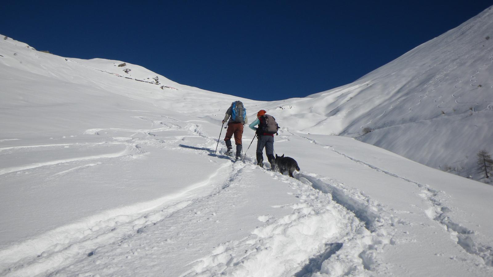
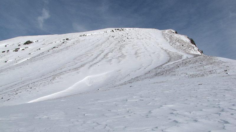
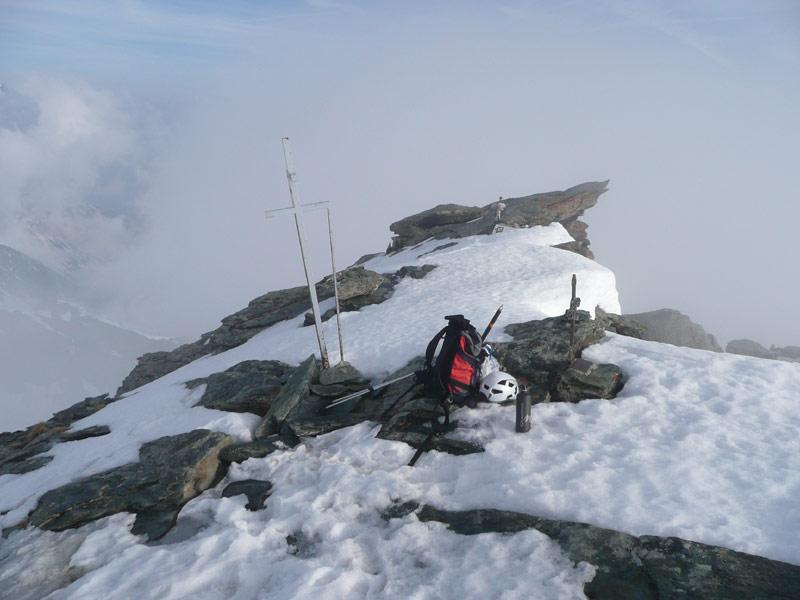
Descrizione
Da Frazione Laux prendere sulla destra la strada sterrata che con iniziali tornanti conduce alle bergerie del laux. (l’itinerario è ben segnalato da cartelli e segni con scritto: Ciaspole 4 in giallo-rosso. Da qui la strada finisce è inizia il sentiero sempre ben segnalato che porta ad una prima mianda isolata con sculture in legno, più avanti, di fauno con la pipa!
Alcuni tornanti nel bosco di larici e lungo traverso portano ad un pianoro dove dopo breve tempo si raggiungono le bergerie dell’Albergian.
- Cartografia:
- IGC n.1
Nelle vicinanze Mappa
Itinerari
12/03/2023 TO, Usseaux D+ 970 m BR Sud
Pintas (Monte) da Balboutet
 2.1Km
2.1Km
24/02/2005 TO, Usseaux D+ 1292 m BRA, F Sud-Ovest
Ciantiplagna (Cima) da Balboutet per il versante SO
 2.1Km
2.1Km
16/03/2012 TO, Usseaux D+ 999 m MR Nord-Est
Ciantiplagna (Cima) da Balboutet per il Vallone della Vecchia
2.1Km
17/12/2022 TO, Usseaux D+ 619 m MR Sud-Ovest
Finestre (Colle delle) da Balboutet
 2.1Km
2.1Km
06/01/2022 TO, Usseaux D+ 1212 m BRA, F Varie
Français Pelouxe (Monte) da Balboutet
 2.1Km
2.1Km
24/11/2013 TO, Fenestrelle D+ 811 m MR Sud
Puy e Pequerel (Borgate) da Fenestrelle, anello
 2.8Km
2.8Km
31/12/2012 TO, Fenestrelle D+ 1200 m BRA, F Varie
Malanotte (Punta) da Pra Catinat per il Rifugio Selleries e il Colle Superiore di Malanotte
5.9Km
16/01/2016 TO, Fenestrelle D+ 1160 m BRA, F Varie
Rocca Nera (Punta) da Prà Catinat per il Lago Ciardonnet
 5.9Km
5.9Km
05/01/2010 TO, Fenestrelle D+ 1029 m OR Sud-Ovest
Ciardonet (Roc) da Pra Catinat per il versante SO
 5.9Km
5.9Km
28/03/2016 TO, Fenestrelle D+ 1200 m BRA, F+ Sud-Ovest
Orsiera (Monte, Punta Nord) da Prà Catinat per il canale Ovest
 5.9Km
5.9Km
Servizi
1Km
1Km
Pian dell’alpe Rifugio
Usseaux
1Km
Cheese Bar Ristorante
Usseaux
1.1Km
Souvenir Rifugio
Usseaux
1.2Km
Edelweiss Ristorante
Usseaux
1.9Km
Il Nido dell’Aquila Ristorante
Usseaux
2.8Km
Lago delle Rane Rifugio
Usseaux
3.1Km
Meizon Blanco Ristorante
Fenestrelle
4.1Km
Alpe Pintas Ristorante
Usseaux
7.1Km