3.3Km
3.3Km
Note
 50m
50m
4.6Km
5Km
5.1Km
5.1Km
5.1Km
5.1Km
5.1Km
50m
50m
4.6Km
5Km
5.1Km
5.1Km
5.1Km
5.1Km
5.1Km
3.3Km
3.9Km
4.6Km
4.6Km
4.6Km
4.6Km
4.6Km
4.6Km
4.7Km
4.7Km
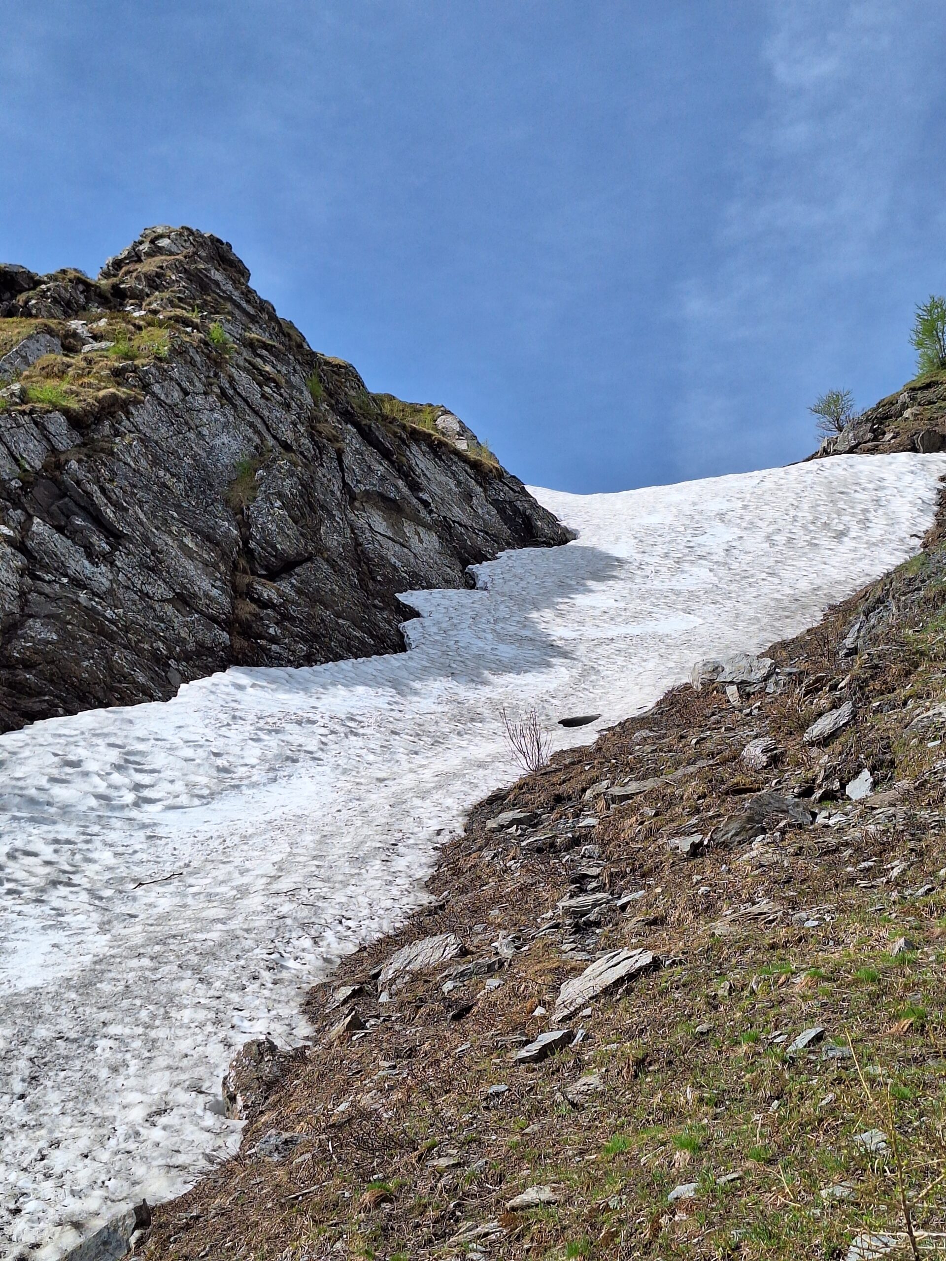
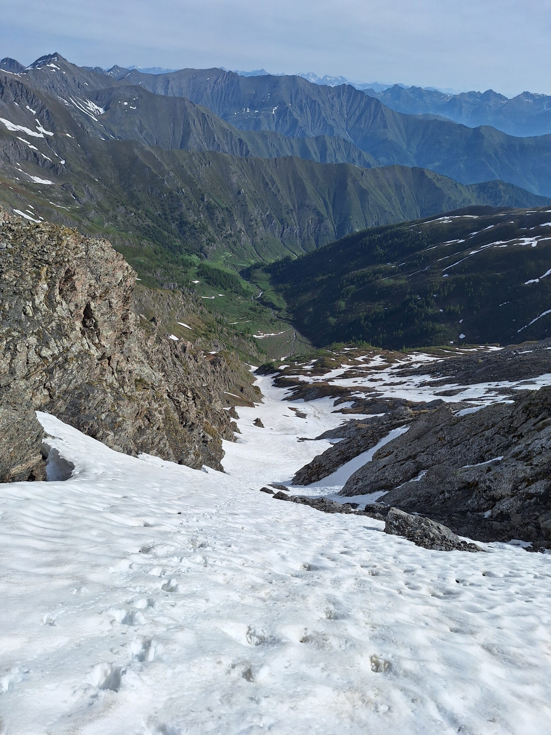
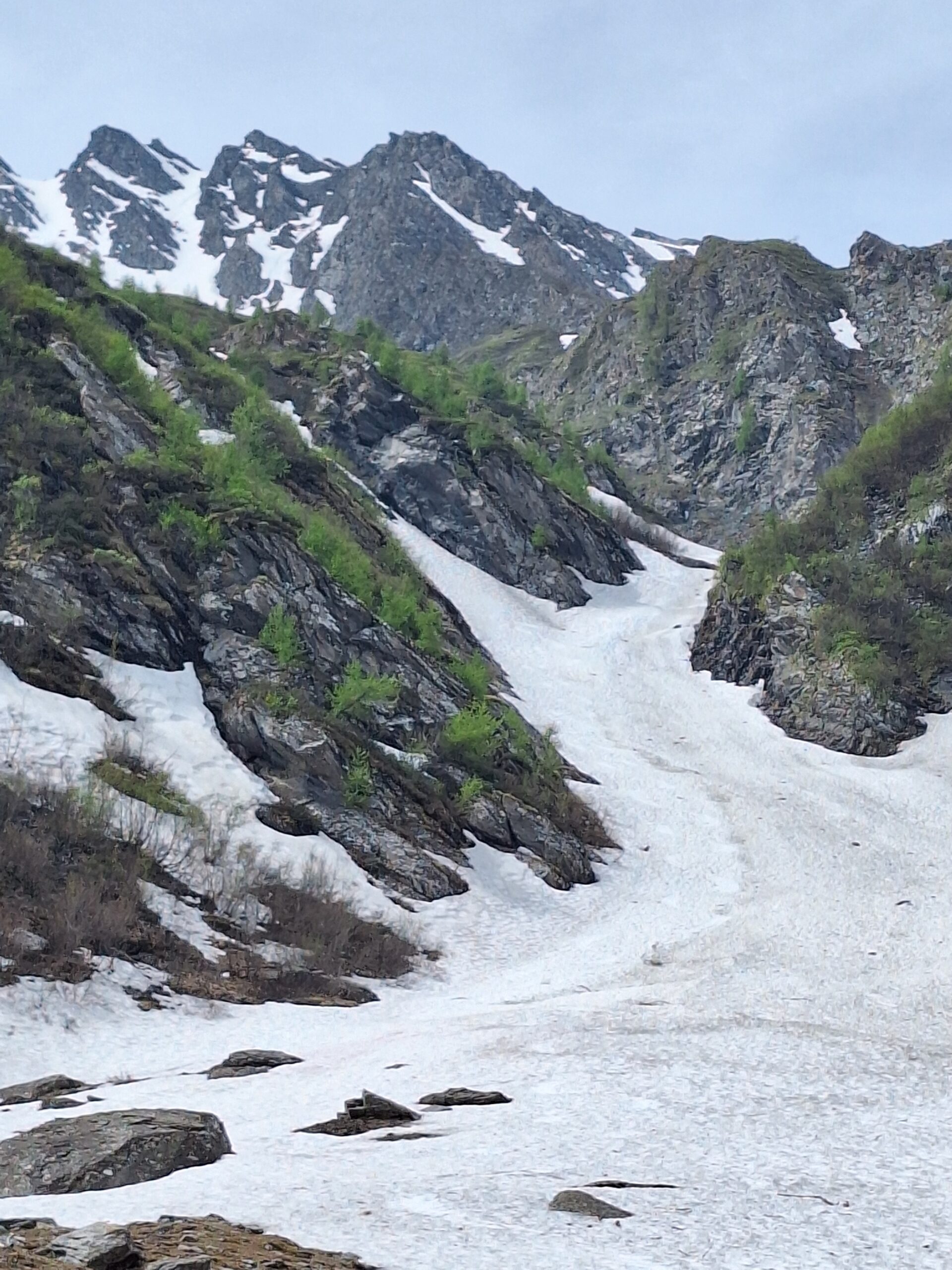
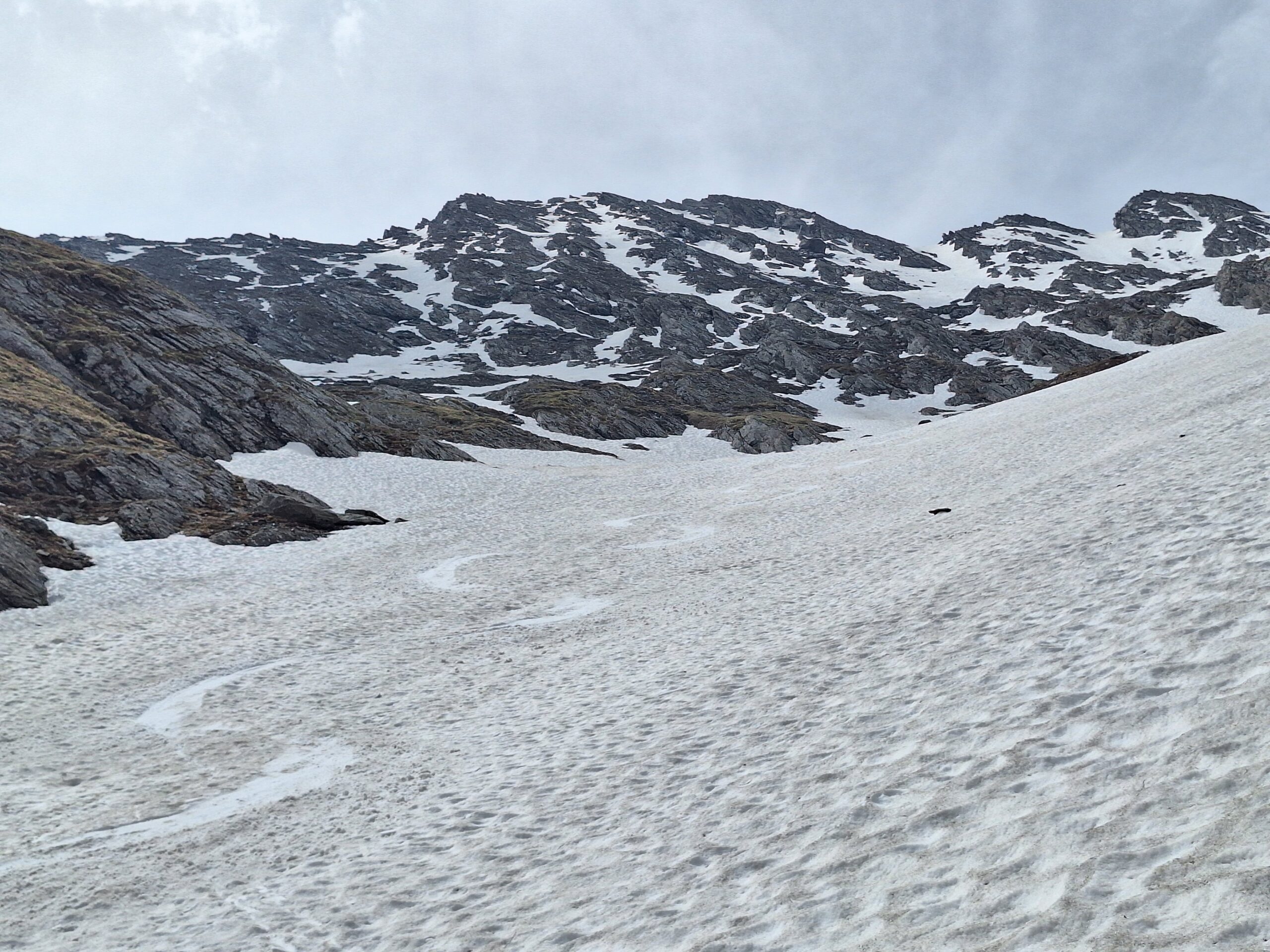
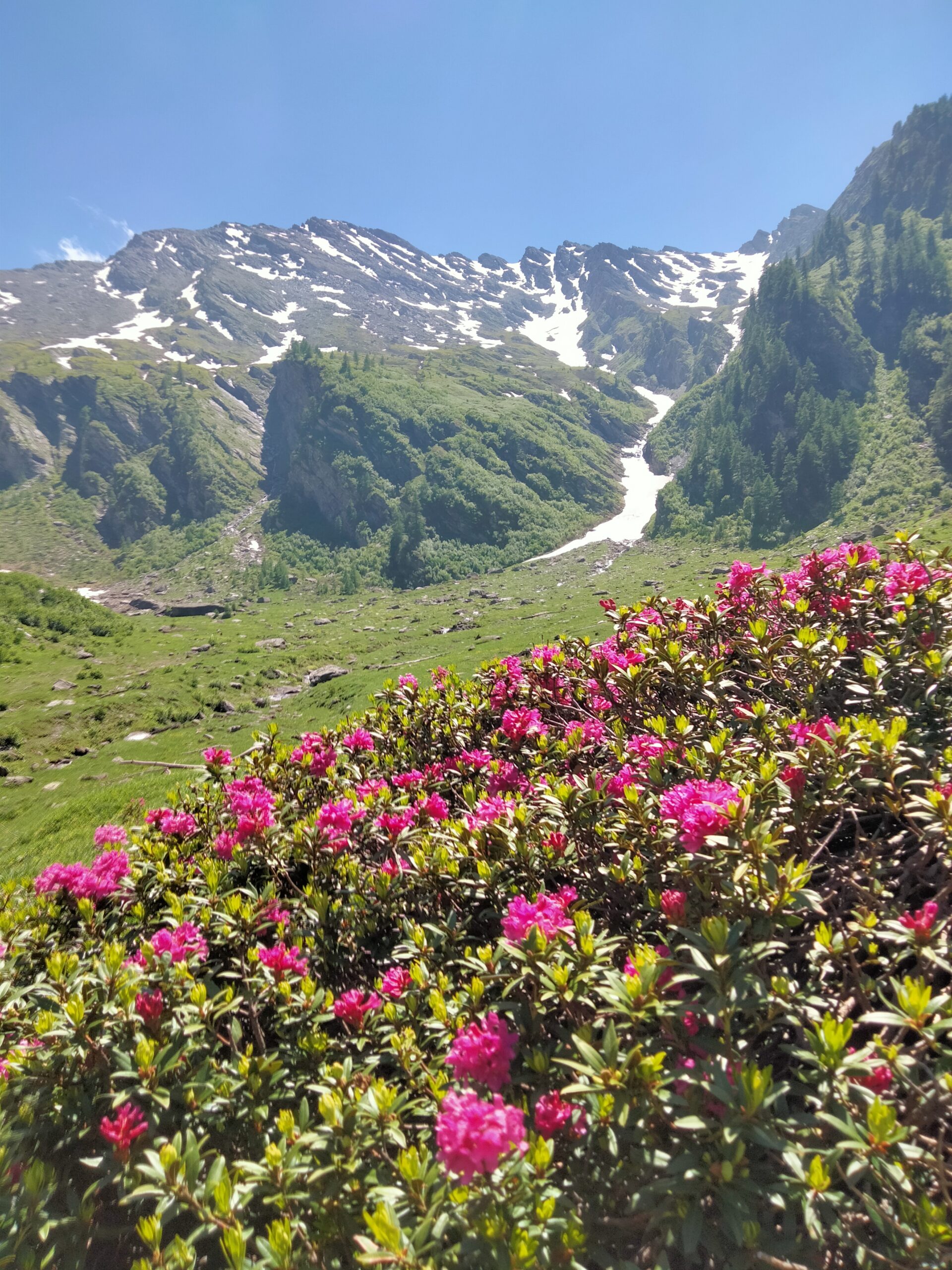
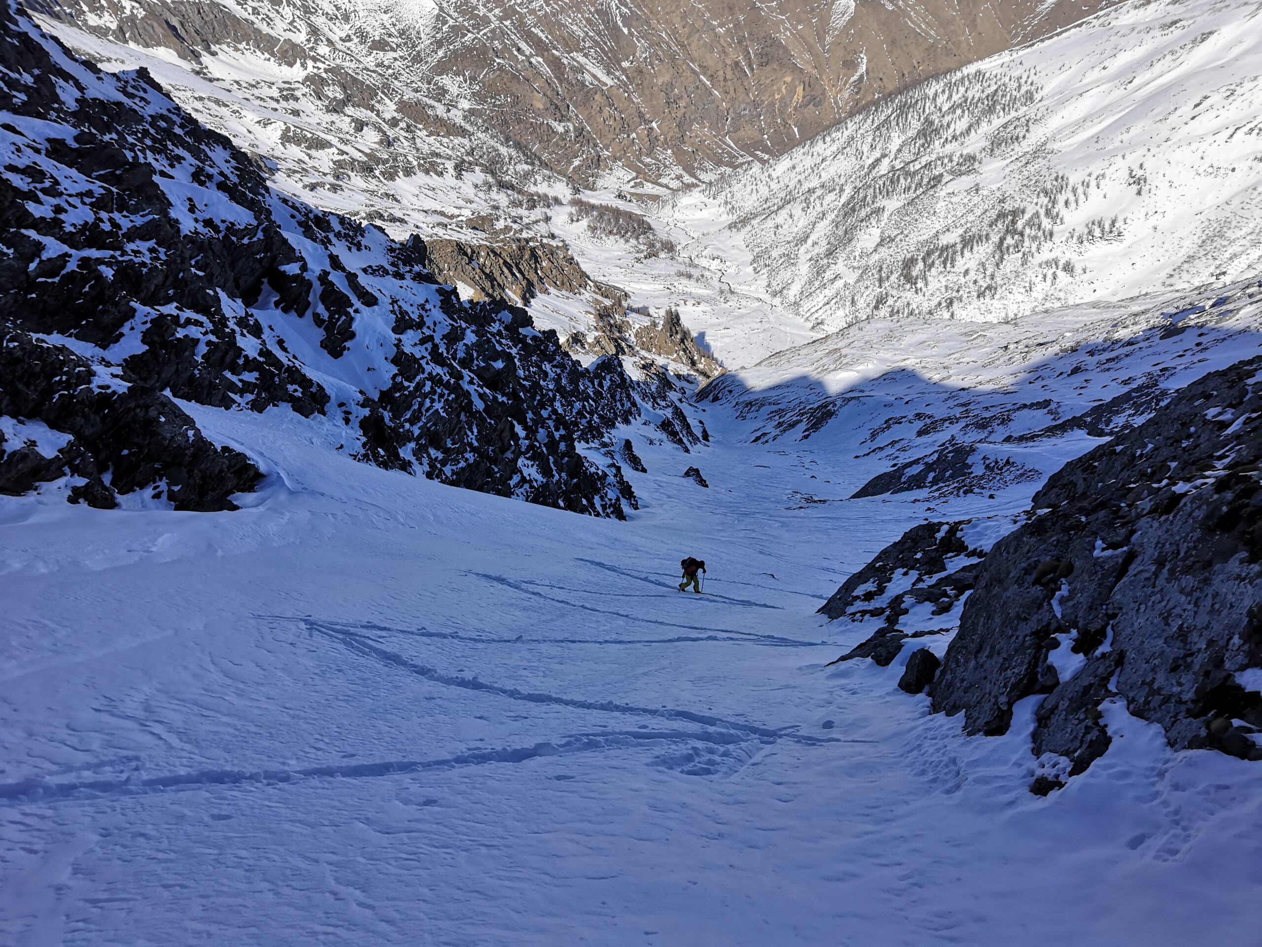
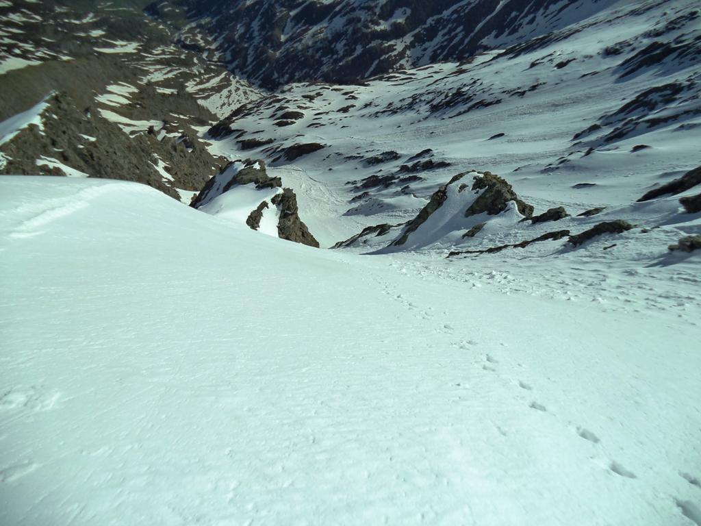
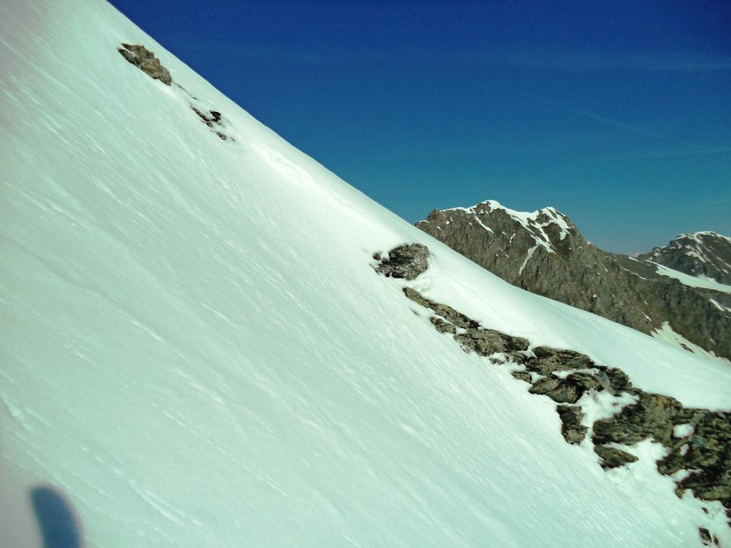
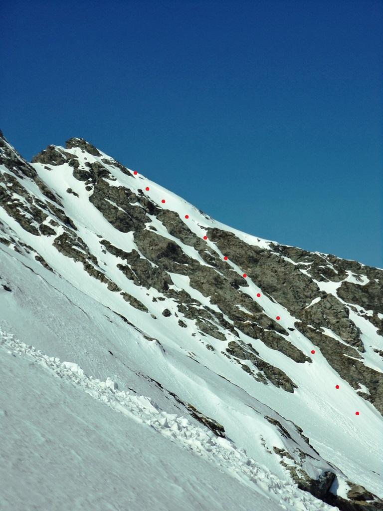
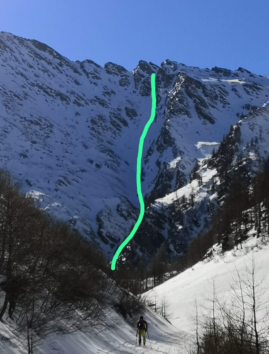
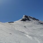
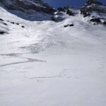
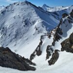
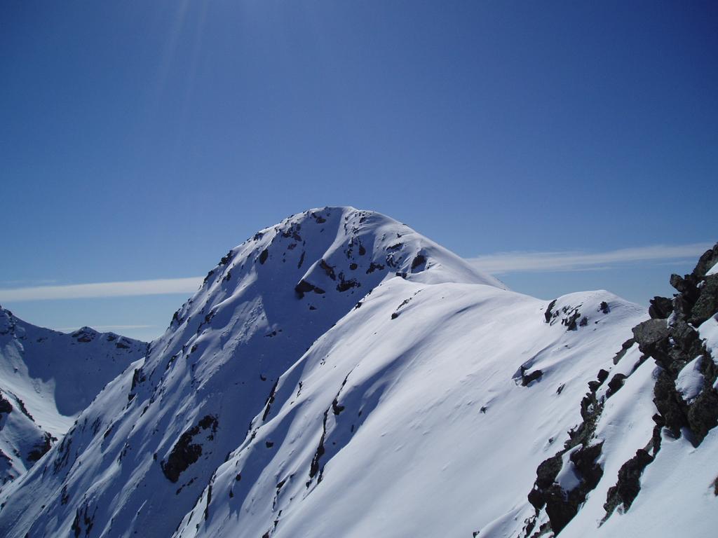
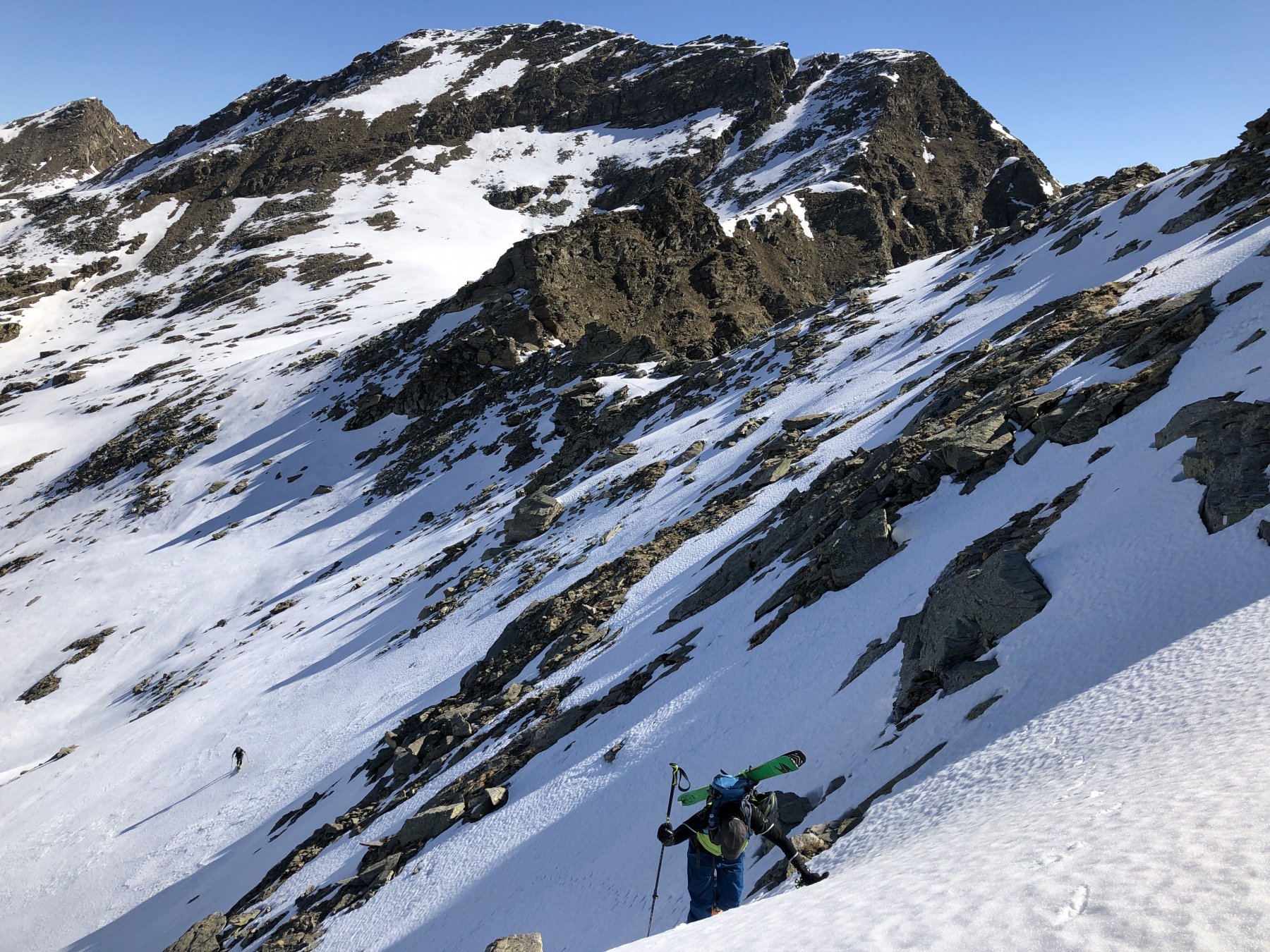
Canalino stretto e sinuoso che, dalla conca dove la normale alla P.ta Vergia devia a sx, sale diretto alla vetta della P.ta Acuta. Il canale non è per niente lungo (150-200m max) ma merita per la continuità della pendenza e per la bellezza dell'ambiente.
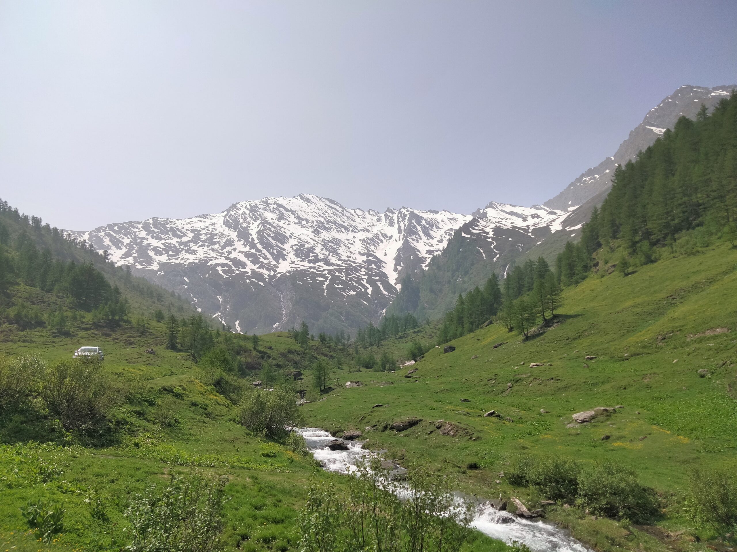
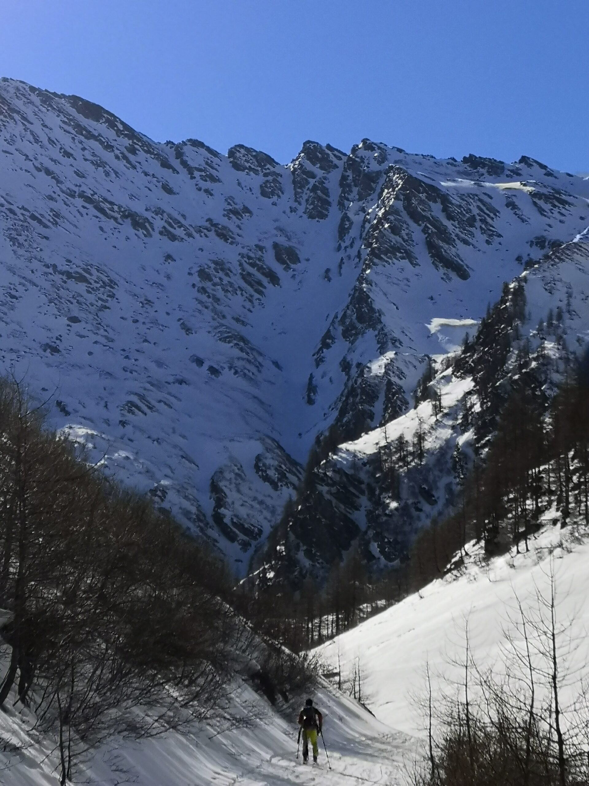
Avvicinamento
Come per la normale alla Vergia.
Descrizione
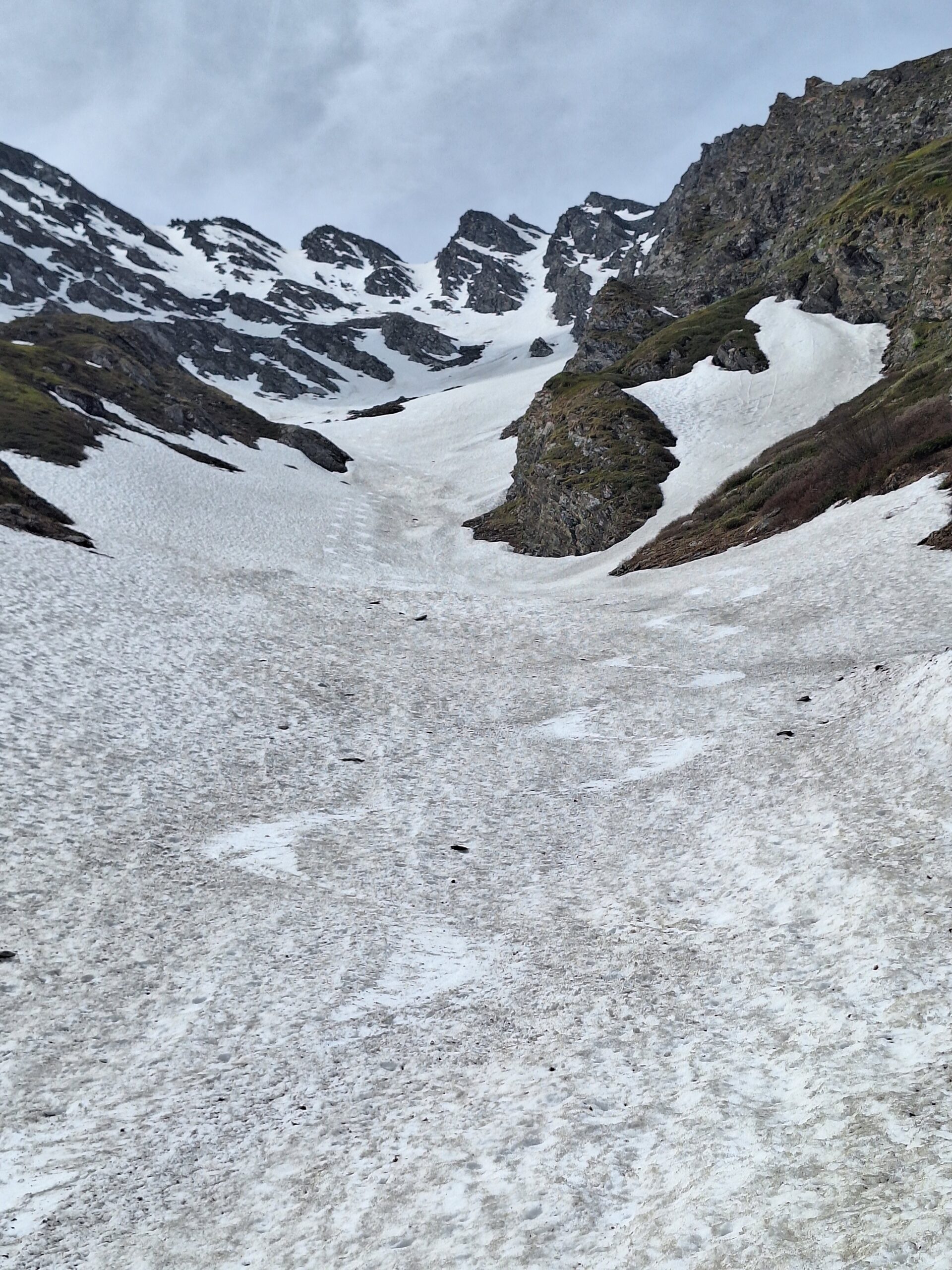
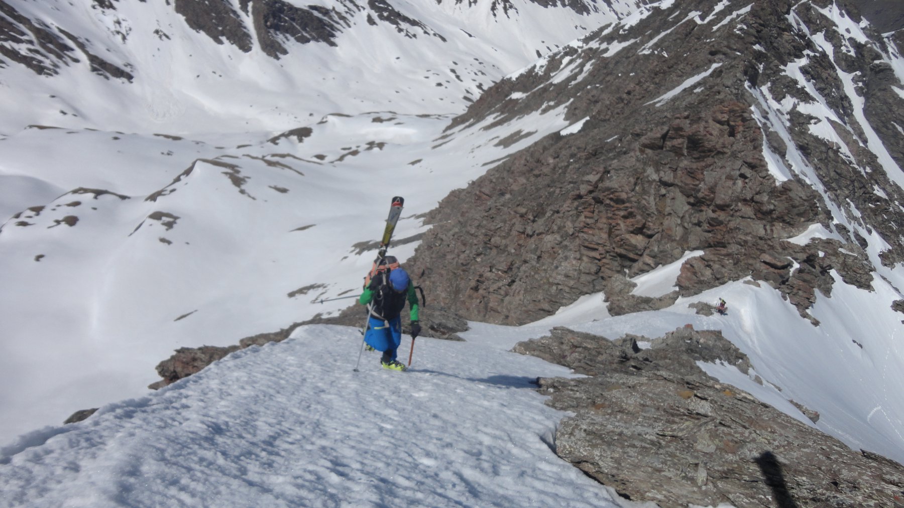
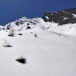
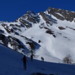
Dalla Balma proseguire fino alla Bergeria come per la normale alla Vergia. Proseguire lungo il largo canalone fino ad una quota di ca 2700m (dove di solito si devia a sx per la Vergia), quindi salire il canalino molto evidente già da tutta la salita che raggiunge direttamente la cima di Punta Acuta (a sx e a dx ci sono altri due canali più larghi e meno ripidi, il primo porta ad un’anticima fra la Vergia e l’Acuta, il secondo immette nel vallone di salita della normale all’Acuta).
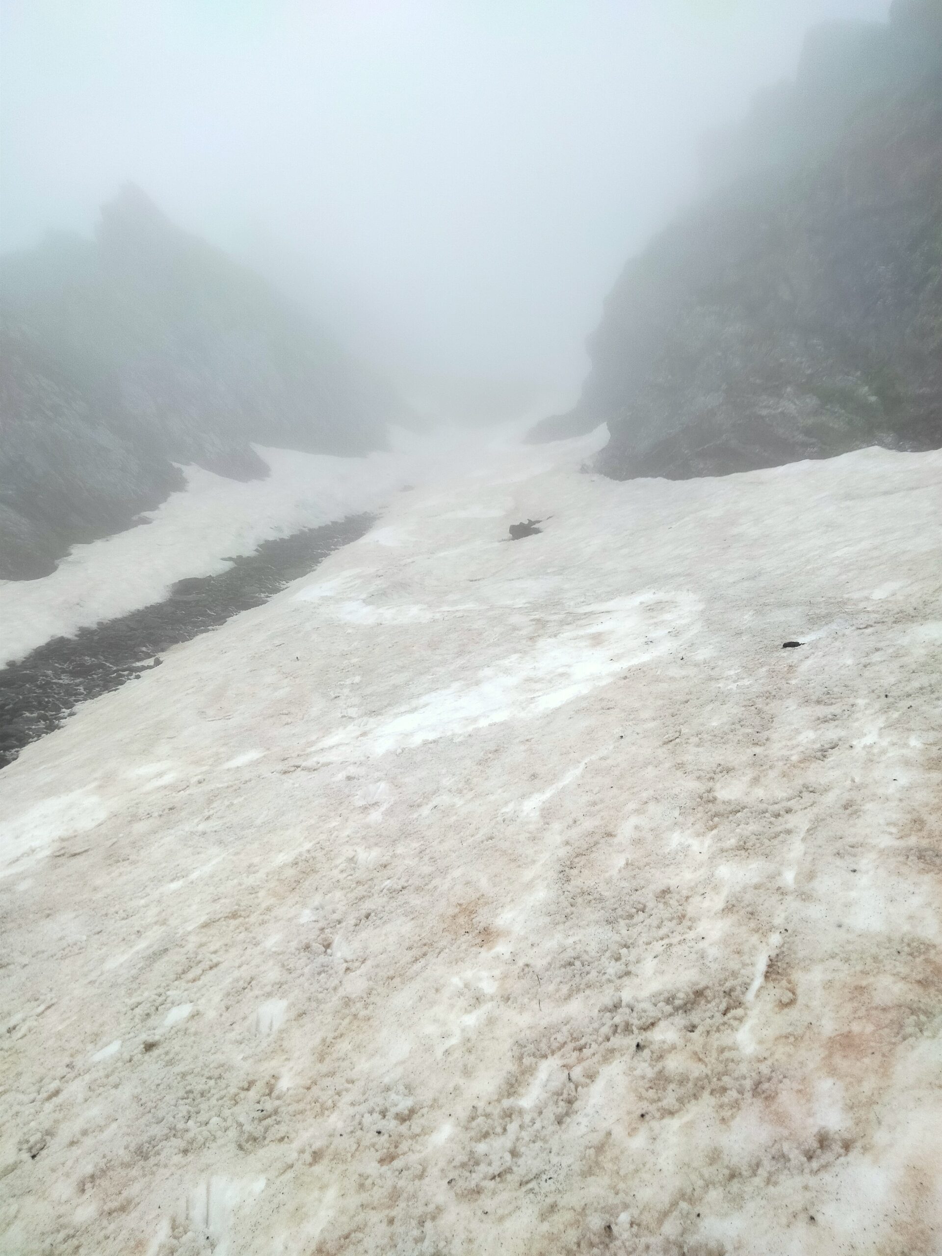
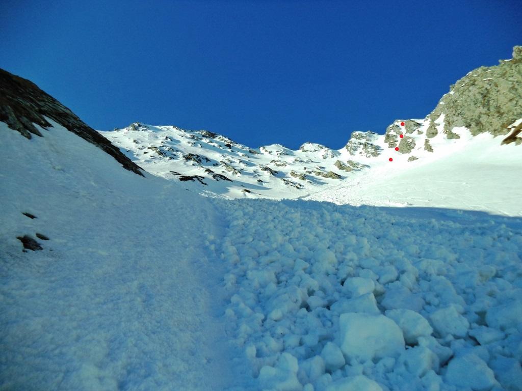
Il primo tratto di canale è sui 40° costanti, quindi presenta un strettoia dovuta ad un roccione che ostruisce più o meno il canale in base all’innevamento (comunque in condizioni normali siamo sui 3m).
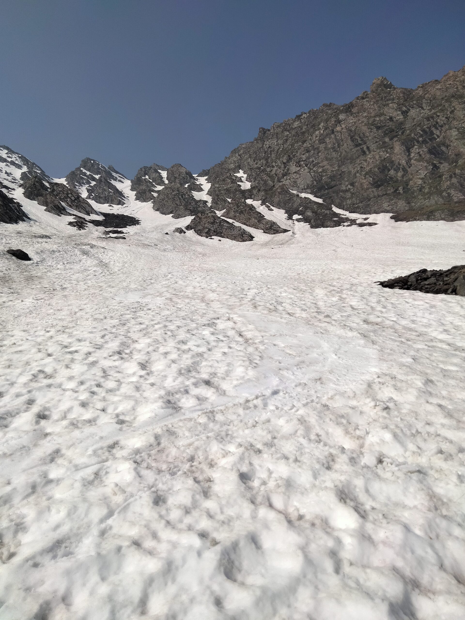
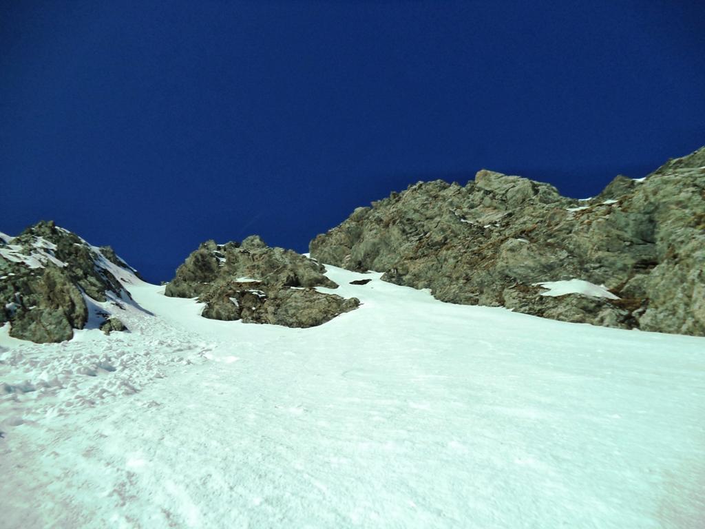
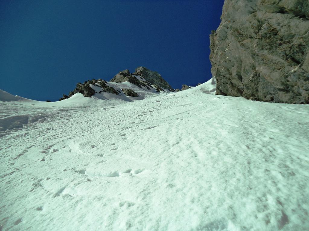
Il canale quindi si raddrizza sui 45° e si incunea fra due pareti di roccia (anche qui è abbastanza stretto). Un’ultima strettoia ripida (larga 3-3.5m) immette sul “plateau” finale (45°-50°) che conduce direttamente al castelletto della cima.
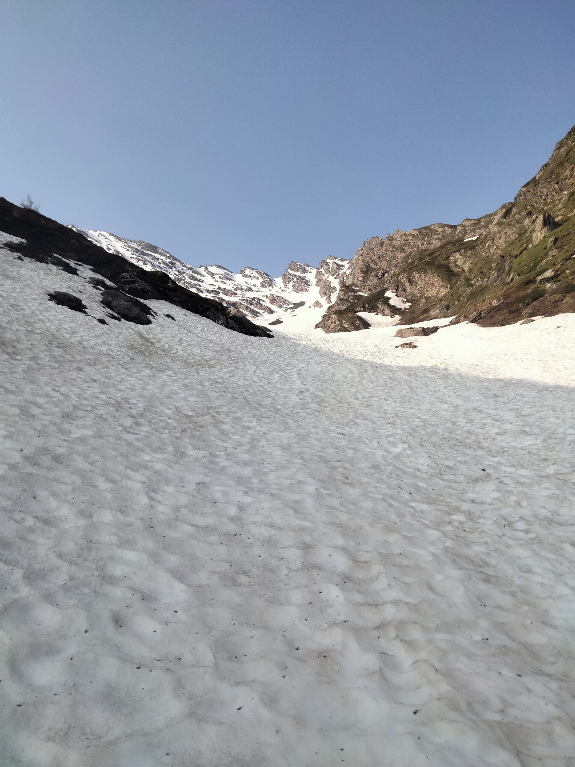
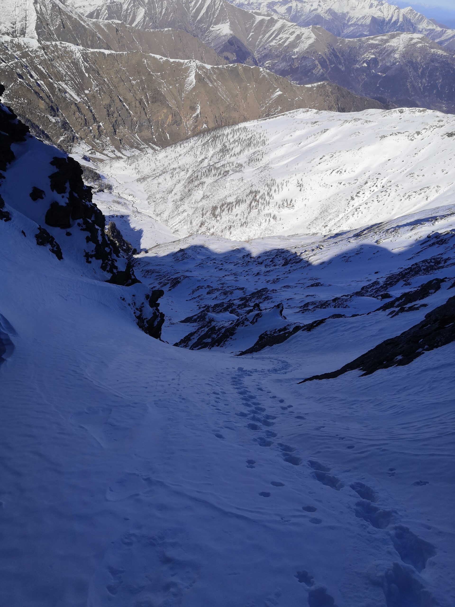
Se l’entrata diretta dalla cima non è fattibile (rocce), conviene scendere per una 50ina di metri dalla normale per poi tagliare a dx ed immettersi nel pendio.
Nelle vicinanze Mappa
Itinerari
31/05/2025 TO, Prali D+ 1558 m II, 4.1, E2 Nord
Vergia (Punta) diretta Nord
 50m
50m
11/04/2026 TO, Prali D+ 1260 m II, 4.2, E1 Nord
Capra (Punta della) Canali Nord o della Remembrance
 50m
50m
20/04/2024 TO, Prali D+ 1350 m I, 4.1, E1 Ovest
Founset (Punta) Canalino Nord-Ovest
 4.6Km
4.6Km
18/04/2026 TO, Prali D+ 1500 m II, 4.2, E2 Sud
Roudel (Cima) Canale Sud
 5Km
5Km
18/05/2025 TO, Prali D+ 1100 m I, 3.3, E1 Nord-Ovest
Gran Guglia Paretina diretta Nord-Ovest
 5.1Km
5.1Km
09/05/2026 TO, Prali D+ 1100 m 4.1, E1 Nord-Est
Gran Guglia Canali NE e N
 5.1Km
5.1Km
14/02/2023 TO, Prali D+ 2200 m IV, 5.1, E4 Varie
Bucie (Bric) Canale Sud da Giordano via Punta Cerisira
5.1Km
04/03/2023 TO, Prali D+ 1220 m II, 4.2, E3 Nord
Peigrò (Monte) Canale Nord
 5.1Km
5.1Km
01/05/2025 TO, Prali D+ 1375 m II, 4.1, E2 Nord
Cornour (Punta) Versante Nord
 5.1Km
5.1Km
27/02/2025 TO, Prali D+ 1520 m III, 4.3, E3 Sud-Est
Vergia (Punta) diretta SE – Neverland
 5.1Km
5.1Km
Servizi
3.3Km
3.9Km
Da Mafalda Ristorante
Prali
4.6Km
Delle Alpi Ristorante
Prali
4.6Km
Del minatore Ristorante
Prali
4.6Km
Lago Verde Rifugio
Prali
4.6Km
La Brasserie Ristorante
Prali
4.6Km
Miandette di Grill B&B
Prali
4.6Km
Delle Alpi Albergo
Prali
4.7Km
Nido dell’orso Ristorante
Prali
4.7Km