3.8Km
3.8Km
Note
 50m
50m
50m
4Km
4.3Km
5.1Km
5.5Km
5.5Km
5.5Km
5.5Km
50m
50m
50m
4Km
4.3Km
5.1Km
5.5Km
5.5Km
5.5Km
5.5Km
Piccozza e ramponi per gli ultimi 250m
Avvicinamento
Torino-Monginevro-Val-des-Prés
Descrizione
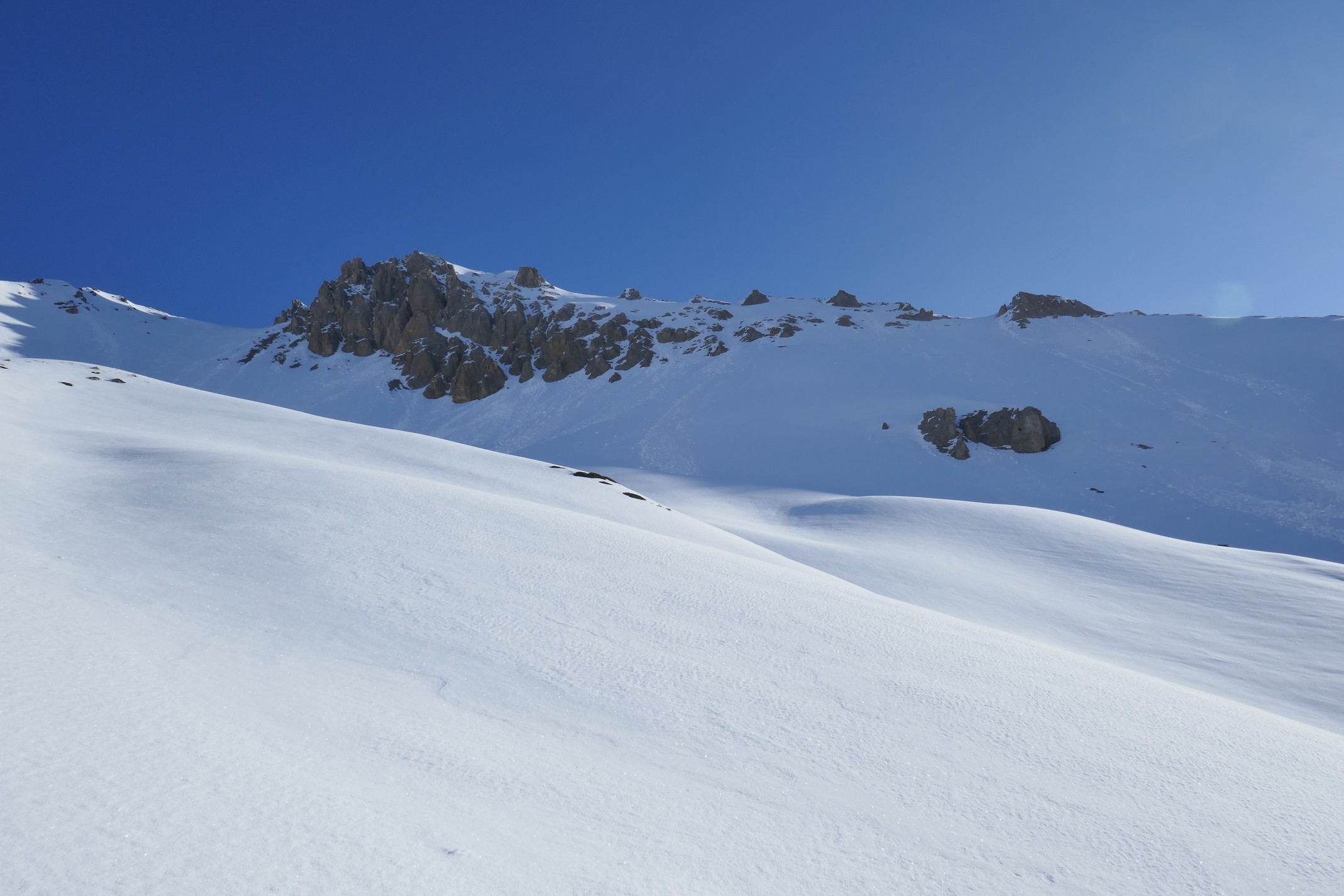
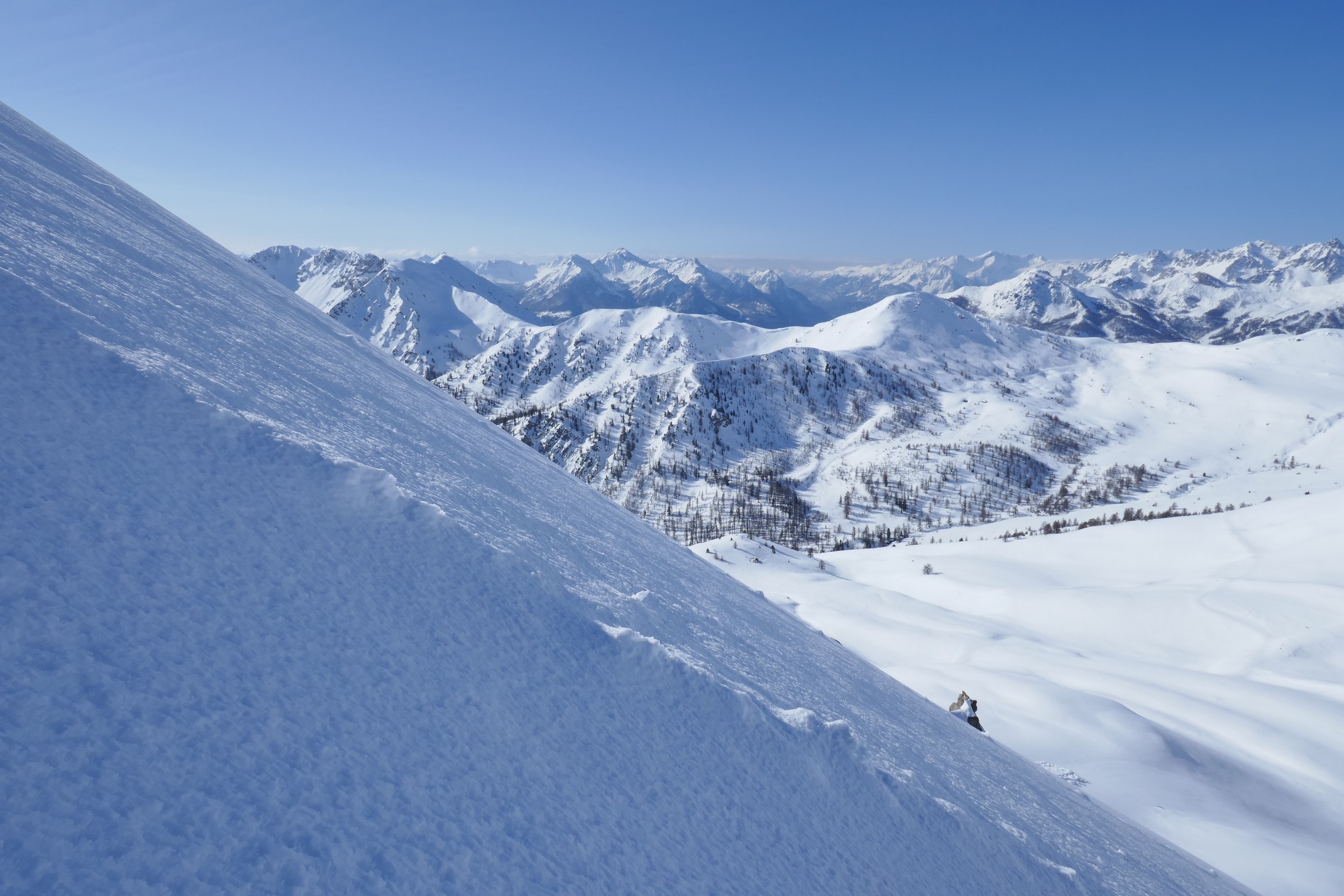
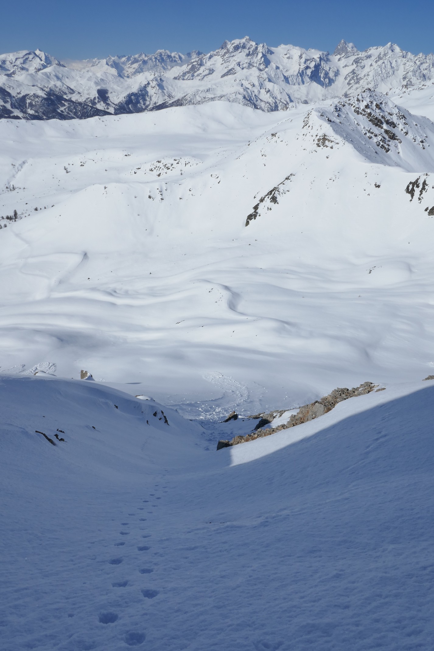
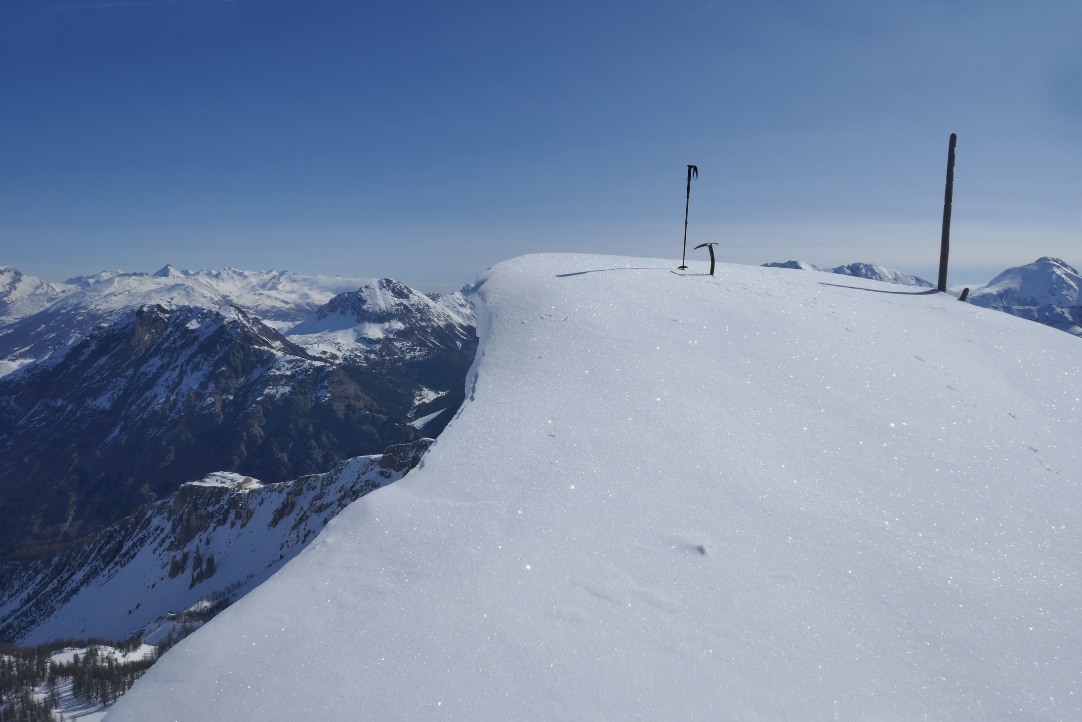
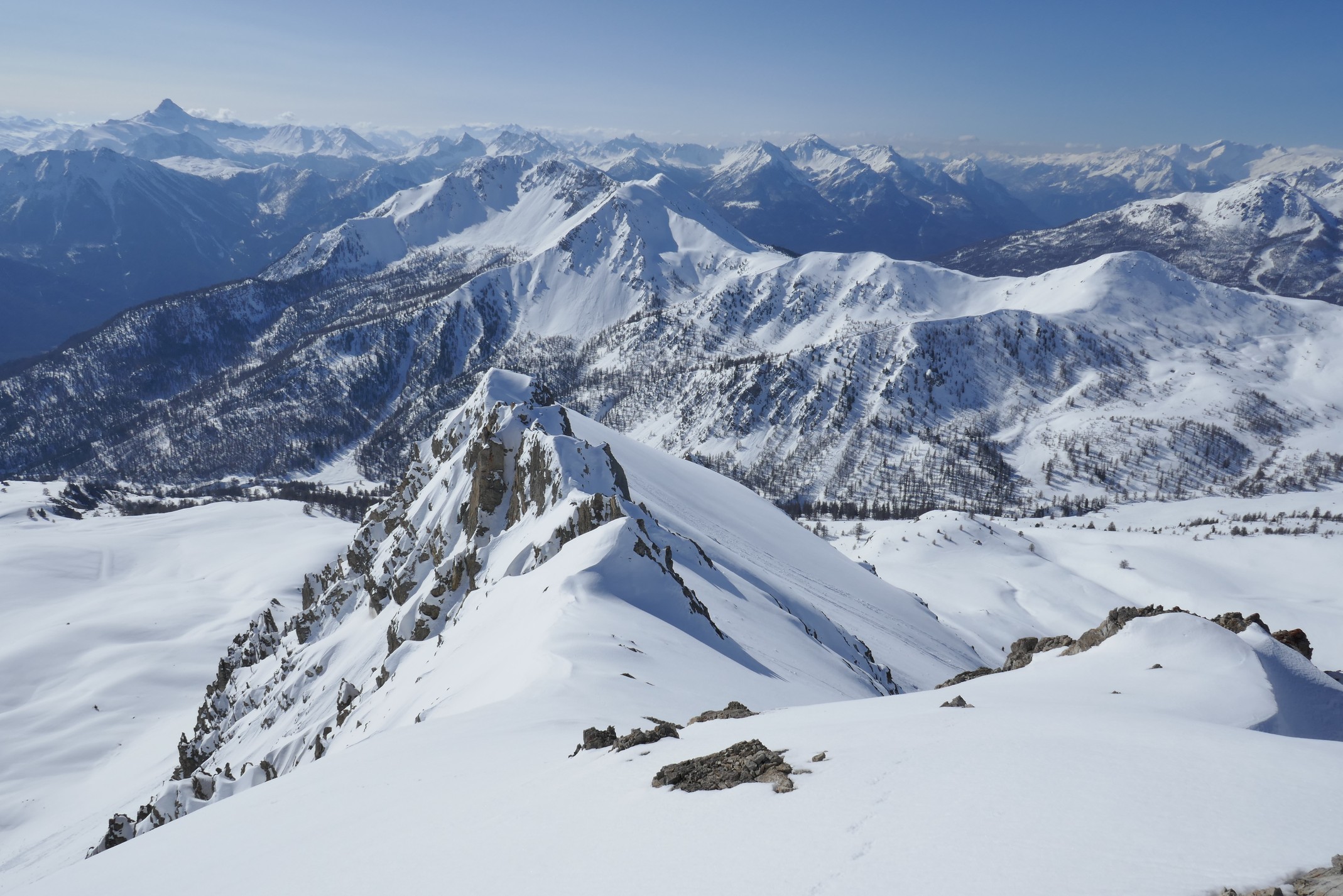
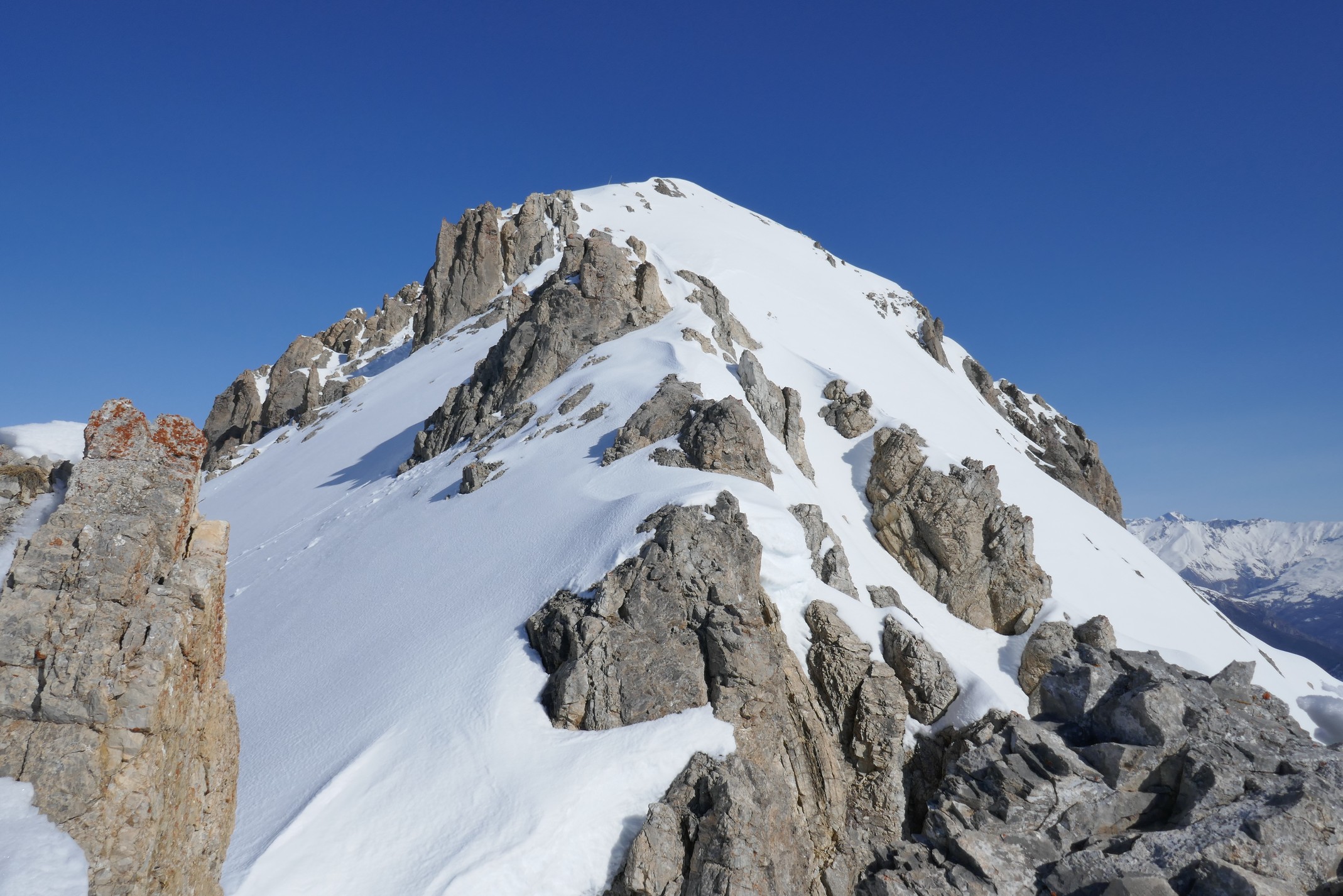
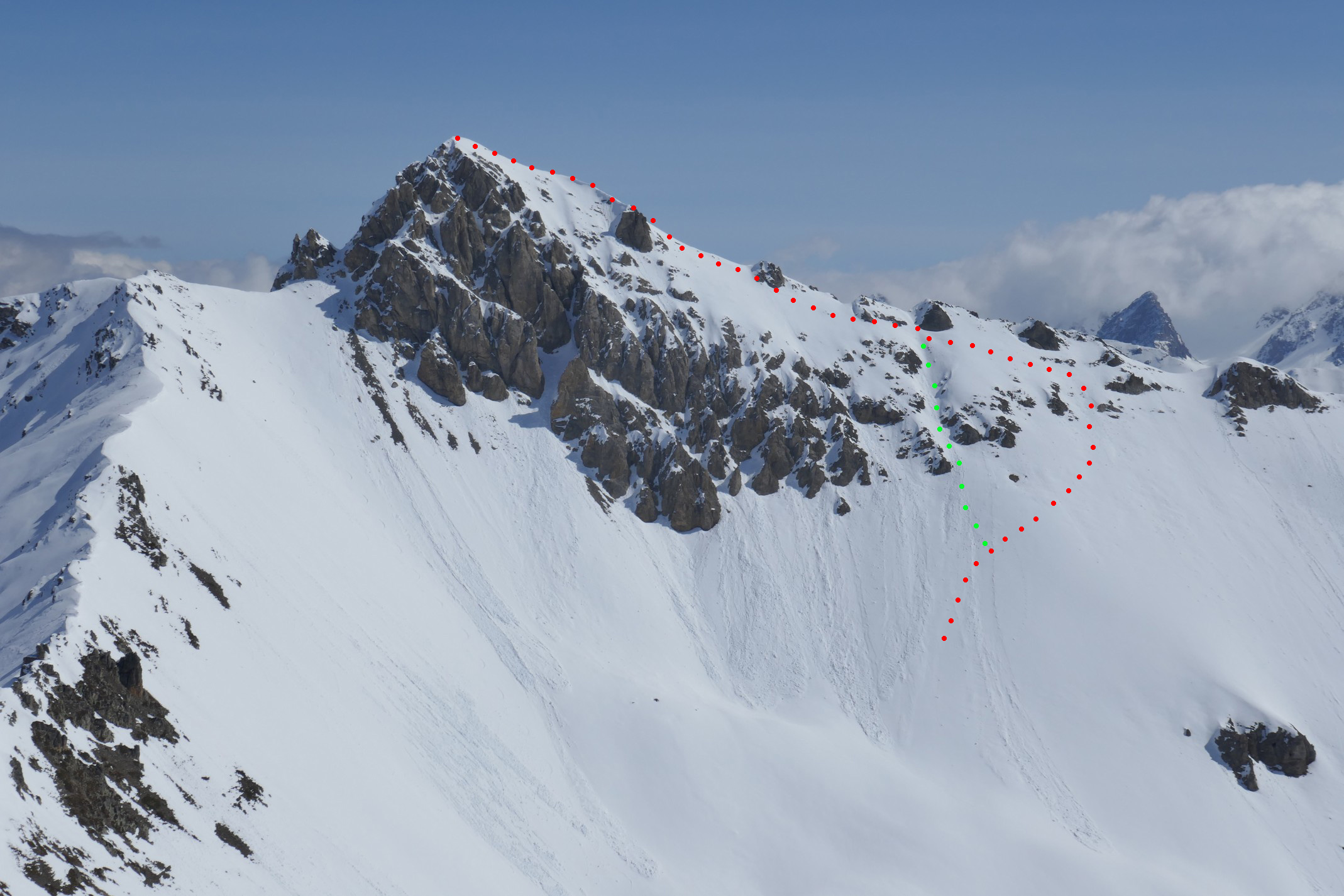
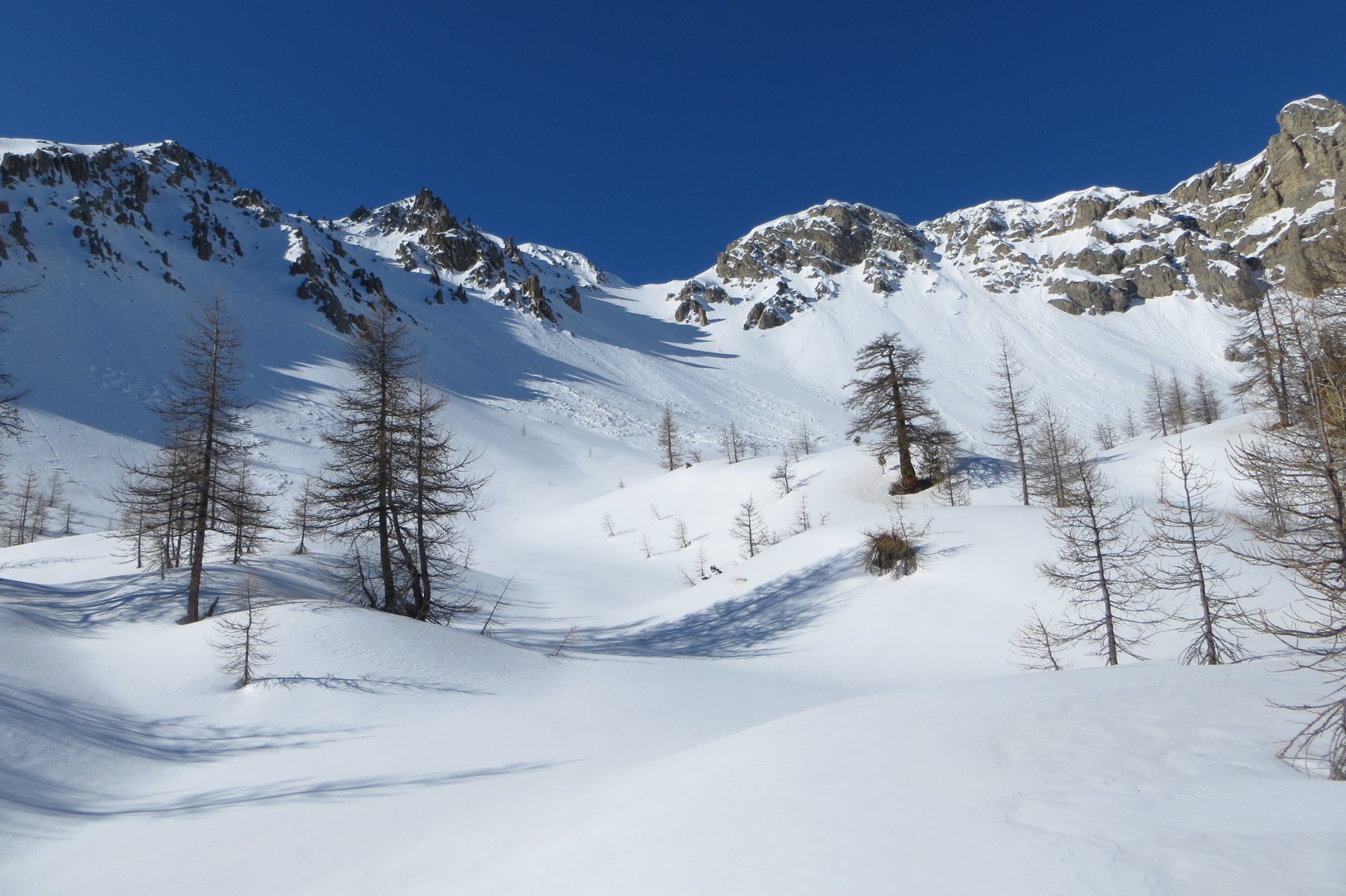
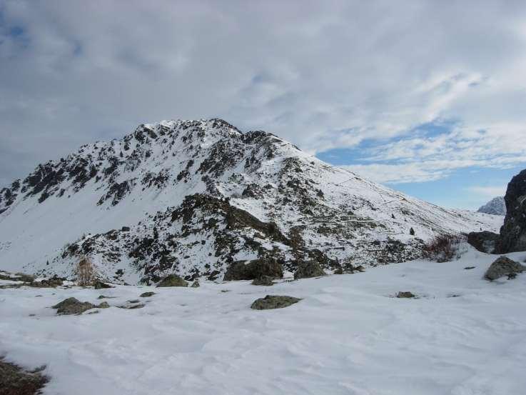
Da La Draye seguire la strada per il Col Granon (anche in auto fin dove percorribile) o il comodo sentiero che taglia i tornanti. Raggiunte le case di le Caro e Granon proseguire in sx orografica fino al guado sul torrente Granon. Attraversare il torrente e salire nel bosco verso sx allontanandosi progressivamente dal fondo del vallone puntando alla conca a sx (ovest) della cresta sud di Roche Gauthier. A 2150 e a 2350 m circa si riattraversa la strada che porta al col Granon e si prosegue verso nord fino a 2500 m circa dove il pendio si raddrizza decisamente. Si sale ora verso dx il versante ovest di Roche Gauthier con un traverso verso dx (sud) oppure prendendo un vago canale (40°) che porta più direttamente sulla cresta sud. Seguire ora la cresta verso sx (nord), aggirando i salti rocciosi lato ovest, fino alla vetta.
Discesa per l’itinerario di salita.
- Cartografia:
- IGN 1:25.000 3536OT
Nelle vicinanze Mappa
Itinerari
25/04/2024 Hautes-Alpes, Val-des-Prés D+ 1166 m BR Sud-Est
Lenlon (Fort de) da la Draye
 50m
50m
12/02/2009 Hautes-Alpes, Val-des-Prés D+ 527 m MR Tutte
Granon (Chalets du) da La Draye
 50m
50m
08/03/2025 Hautes-Alpes, Val-des-Prés D+ 1325 m BRA Varie
Grande Peyrolle (la) e la Petite Peyrolle da La Draye, possibile anello per la Croix de la Cime
 50m
50m
05/04/2015 Hautes-Alpes, Montgenèvre D+ 250 m MR Nord-Ovest
Sestrieres (Bois de) da Montgenevre, anello
 4Km
4Km
21/01/2024 Hautes-Alpes, Val-des-Prés D+ 1150 m BR Nord
Cochette (Sommet de la) e l’Ombilic da la Vachette
 4.3Km
4.3Km
13/01/2024 Hautes-Alpes, Montgenèvre D+ 330 m MR Sud
Diseur (Rocher) da Montgenèvre
 5.1Km
5.1Km
01/03/2019 Hautes-Alpes, Montgenèvre D+ 655 m MR Nord-Est
Anges (Sommet des), Fort du Gondran da Montgenèvre
 5.5Km
5.5Km
04/01/2025 Hautes-Alpes, Montgenèvre D+ 750 m MR Varie
Janus (le) da Montgenèvre
 5.5Km
5.5Km
21/03/2016 Hautes-Alpes, Montgenèvre D+ 515 m MR Nord
Gondran (Col du) da Montgenèvre per le Bois de Sestrieres
 5.5Km
5.5Km
15/10/2016 Hautes-Alpes, Montgenèvre D+ 800 m BR Varie
Chenaillet (le) da Montgenevre
 5.5Km
5.5Km