Alternativa partire direttamente da Sainte Marguerite poco più a valle e seguire le Kilométre Verticale
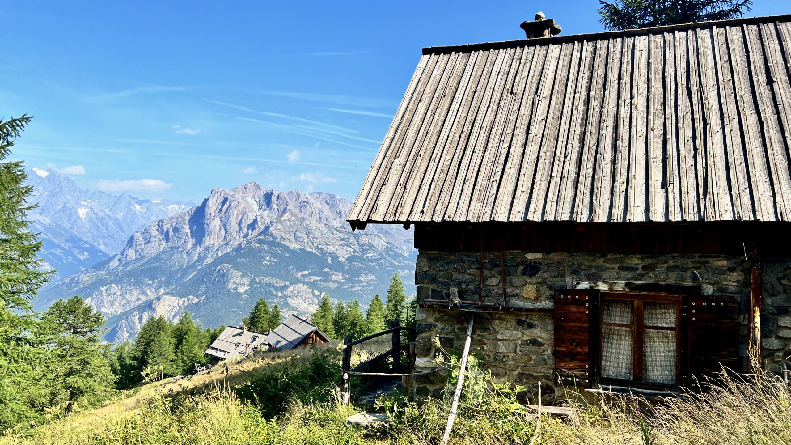
Dal posteggio lungo la strada sterrata a q. 1595 m. si imbocca una stradina sterrata molto ripida che in breve fa guadagnare dislivello (Bois de l’Ubac.) Seguire le indicazioni per L’Oriol de Sainte Marguerite dove si incontrerà il Rifugio omonimo a q. 2200 m. situato in una radura con altre baite ristrutturate. Fontana.
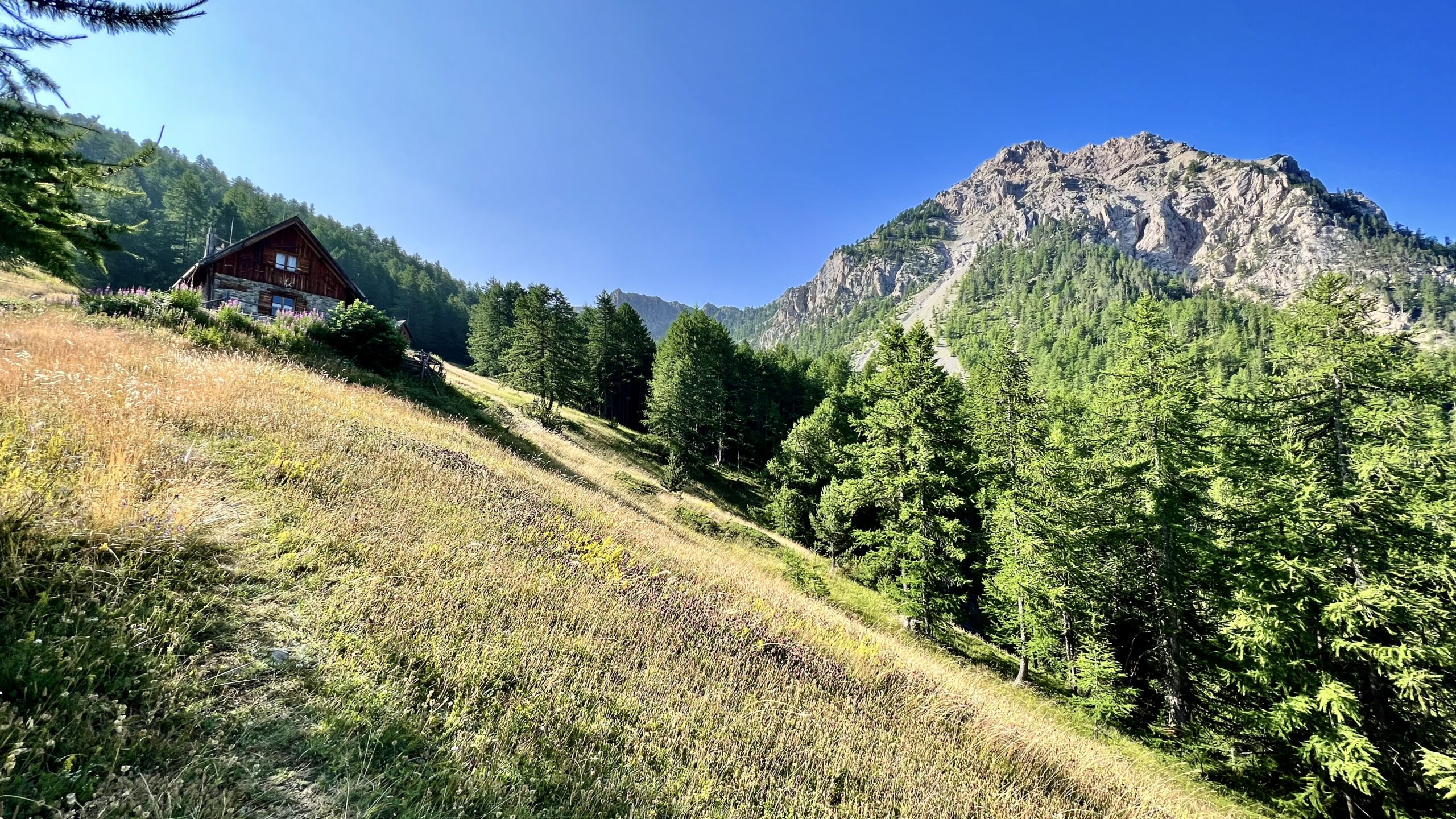
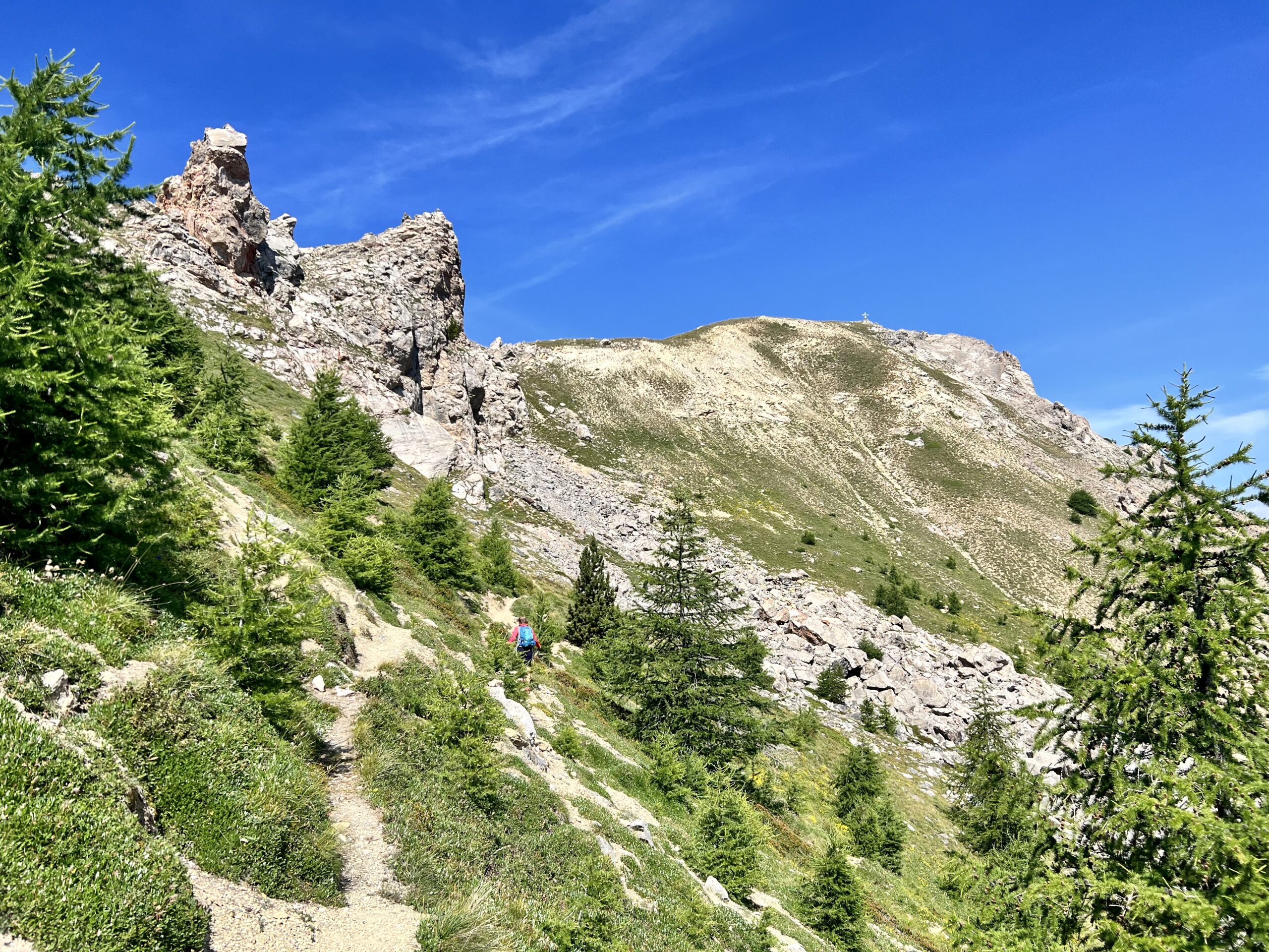
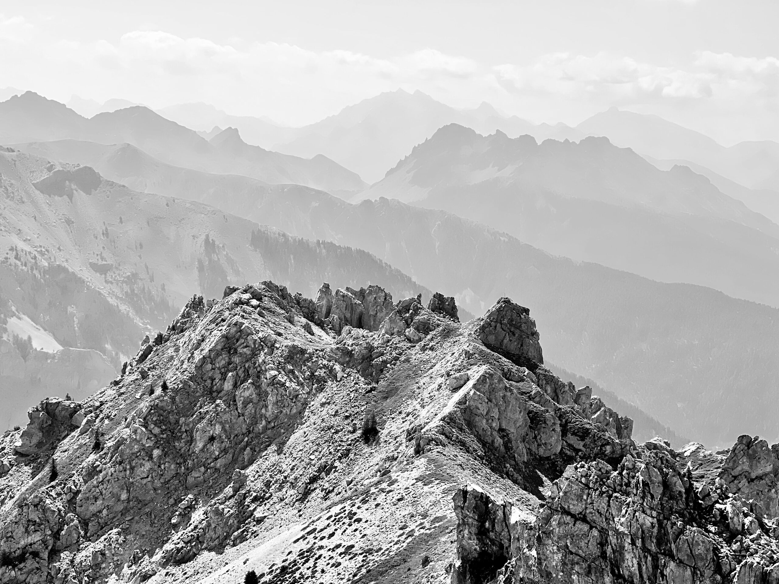
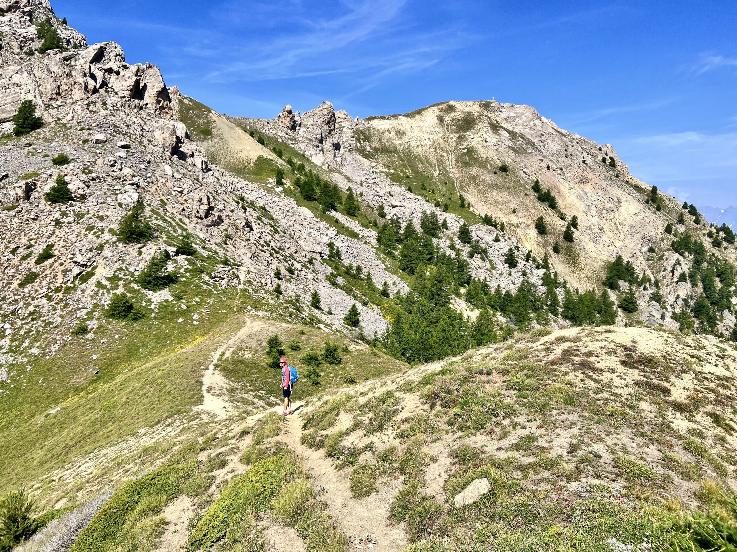
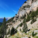
Seguire il sentiero che sale diretto a Sud per boschi sempre più radi e prati, in stagione, fioriti. Il percorso è sempre evidente e sale ripido fino ad uscire sul colle a q. 2300 m. dove al bivio si segue a dx. Il percorso è sempre evidente, in alcuni punti franati e disagevoli, seguire gli ometti di pietra sempre evidenti, ma la cima è chiaramente in vista e ci si arriva in breve. Esteso panorama sul Pelvoux e sulla sottostante valle della Durance.
Discesa: seguire lo stesso percorso di salita
- Cartografia:
- IGN Briançon
Nelle vicinanze Mappa
Itinerari
Moutiere (Roche de la) da Oriol de Sainte Marguerite, anello per il Lac de l’Ascension
Salcette (Croix de la) da Bouchier, anello
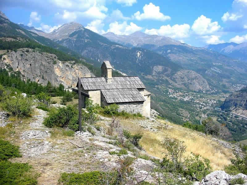
Saint Hippolyte (Chapelle de) da Saint Martin de Queyries
 3.4Km
3.4Km
Alpavin (Crete de l’) da Pas du Rif
Haut Mouriare (Pic du) da la Roche de Rame per il Lac de l’Ascension
 5.9Km
5.9Km
Tetes (les) dal Vallon du Fournel, anello
 6.6Km
6.6Km
Neal (Col) da le Lauzet
Partias (Lac de) da Puy Chalvin
Saint Laurent (Chapelle) da Puy-St-André
Lauzieres (Tête des) o le Sablier da Ratiere
 7.8Km
7.8Km