Note
 1.6Km
3.2Km
5Km
5.3Km
7.2Km
7.5Km
1.6Km
3.2Km
5Km
5.3Km
7.2Km
7.5Km
Itinerario ad anello che permette una facile cima e belle vedute sul massiccio del Pelvoux.
Descrizione
Dal parcheggio Q.1600m. su strada forestale per Oriol de St Marguerite, di prosegue su sterrato ripido al Ref d’Oriol (2050m).
Per sentiero tracciato alla cresta del Col de Quyrellets. Breve discesa al Lac de l’Ascension (100m di dislivello), Q.2300m.
Risalita nel vallone direzione N, poi O, al Col de la Moutiere (2650m), e di qui per larga cresta erbosa alla cima (2755m).
Discesa su opposto versante ai Chalet de l’Oriol de Quyrieres (2100m), e per strada sterrata molto ripida al parcheggio.
Nelle vicinanze Mappa
Itinerari
23/07/2023 Hautes-Alpes, Saint-Martin-de-Queyrières D+ 968 m E Nord
Puy (Tête du) da Sainte Marguerite
 1.6Km
1.6Km
02/06/2024 Hautes-Alpes, Saint-Martin-de-Queyrières D+ 800 m E Tutte
Salcette (Croix de la) da Bouchier, anello
3.1Km
01/09/2005 Hautes-Alpes, Saint-Martin-de-Queyrières D+ 331 m E Nord-Est
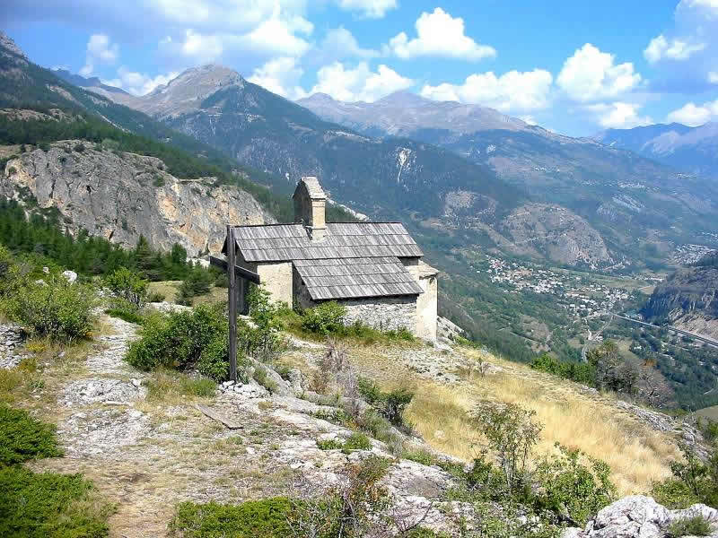
Saint Hippolyte (Chapelle de) da Saint Martin de Queyries
 3.2Km
3.2Km
29/09/2016 Hautes-Alpes, Saint-Martin-de-Queyrières D+ 1100 m E Nord-Ovest
Alpavin (Crete de l’) da Pas du Rif
5Km
24/06/2023 Hautes-Alpes, L'Argentière-la-Bessée D+ 850 m E Sud
Tetes (les) dal Vallon du Fournel, anello
 5Km
5Km
05/08/2023 Hautes-Alpes, La Roche-de-Rame D+ 1830 m EE/F Sud-Ovest
Haut Mouriare (Pic du) da la Roche de Rame per il Lac de l’Ascension
 5.3Km
5.3Km
05/07/2013 Hautes-Alpes, Puy-Saint-Vincent D+ 325 m E Est
Oréac (Tete d’) dal Col de la Pousterle
6.8Km
06/05/2018 Hautes-Alpes, Freissinières D+ 300 m E Sud
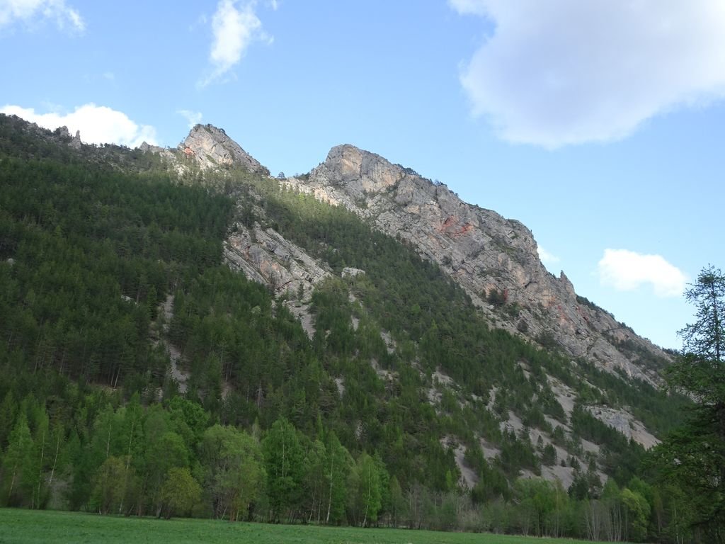
Aiguille (Col de l’) da les Roberts
 7.2Km
7.2Km
07/05/2026 Hautes, Puy-Saint-Vincent D+ 500 m E Varie
Oréac (Tête d’) da Prey d’Amont
7.4Km
03/06/2012 Hautes-Alpes, Freissinières D+ 600 m EE Sud-Ovest
Clot du Puy dal Vallon de Freissinieres, giro della Crete de la Rortie
 7.5Km
7.5Km

