9.5Km
9.5Km

Note
 2.4Km
2.5Km
2.6Km
4.7Km
7.1Km
7.7Km
2.4Km
2.5Km
2.6Km
4.7Km
7.1Km
7.7Km
9.5Km
Si potrebbe trovare il passaggio (percorso scialpinistico) per traversare per cresta da Sud a Nord. Ho vagato per poi ritrovare il sentiero che sale al Colle di Valouise,
Avvicinamento
Da Briançon seguire la N94 verso Sud fino a Le Villaret, dal supermercato Lidl ,deviare a dx per una strada prima asfaltata poi sterrata, (meglio un 4x4) Arrivare a Ratiere e proseguire con attenzione fino ad un bivio, scendere a sin e trovare parcheggio nei pressi di un tornante.
Descrizione
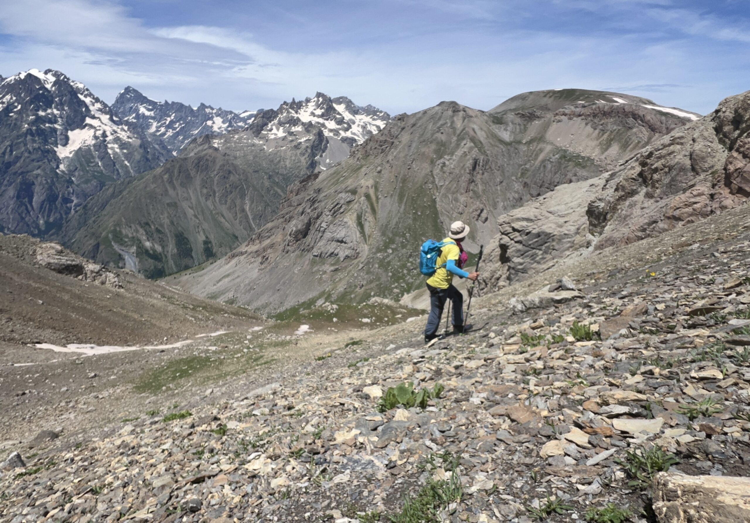
Lasciata l’auto al tornante salire per prati anche ripidi ma in stagione punteggiati da fiori e ancora fiori, imboccare un vallone a sin. salendo in direzione SO e con percorso libero abbiamo raggiunto la q. 2486 m. esattamente sotto il versante ESE della cima. (Si può evitare questa digressione e puntare direttamente alla q. 2458 m.) A questo punto capiamo di aver sbagliato e quindi lasciamo l’idea della traversata. Con percorso libero tra ammassi di frane e valanghe e prati, ritorniamo sui nostri passi e con saliscendi, dirigersi in direzione NNE fino a q. 2458 m. dove si scende per raggiungere il sentiero che sale al Colle di Valouise, prima di arrivare ad affacciarsi sulla valle, prendere una traccia che sale prima per prati e poi per sfasciumi fino al colle tra le due cime e quindi si arriva agevolmente alla Cima Sud a 2928 m. Discesa seguire la traccia e il sentiero al contrario fino al lago a q. 2350 m. e quindi per prati e vallette, puntare alla auto parcheggiata a Sud.
Itinerario più lineare e comodo, si possono seguire le indicazione per la Cima della Condamine e quindi arrivati nei pressi del Col de Valouise procedere su tracce si sentiero fino alla vetta. Discesa per lo stesso percorso.
- Cartografia:
- IGN BRIANÇON
Nelle vicinanze Mappa
Itinerari
23/06/2024 Hautes-Alpes, Puy-Saint-André D+ 650 m E Nord-Est
Aquila (la Croix d’) da les Combes per il Col de la Trancoulette
 2.4Km
2.4Km
17/08/2015 Hautes-Alpes, Puy-Saint-André D+ 800 m E Sud-Est
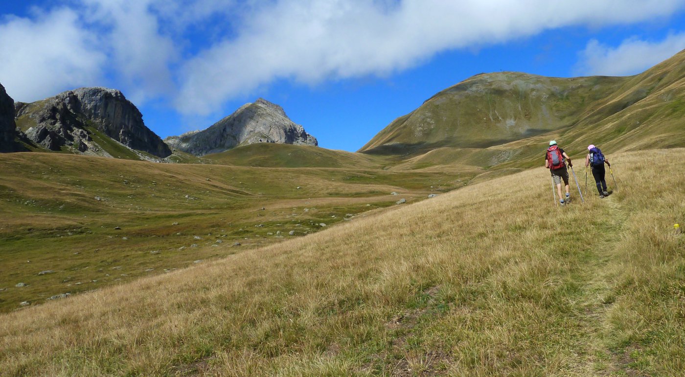
Eychauda (Sommet de l’) da les Combes per il Col de la Pisse
 2.5Km
2.5Km
31/08/2023 Hautes-Alpes, Puy-Saint-André D+ 1100 m EE Nord-Est
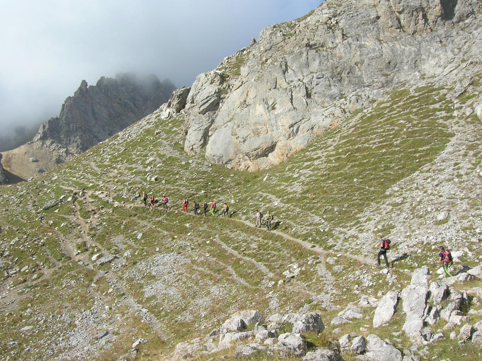
Condamine (Cime de la) da les Combes per il Col de la Trancoulette
 2.6Km
2.6Km
09/06/2013 Hautes-Alpes, Puy-Saint-André D+ 500 m E Varie
Partias (Lac de) da Puy Chalvin
3.7Km
27/12/2006 Hautes-Alpes, Puy-Saint-André D+ 237 m E Sud-Est
Saint Laurent (Chapelle) da Puy-St-André
4.7Km
01/09/2005 Hautes-Alpes, Saint-Martin-de-Queyrières D+ 331 m E Nord-Est
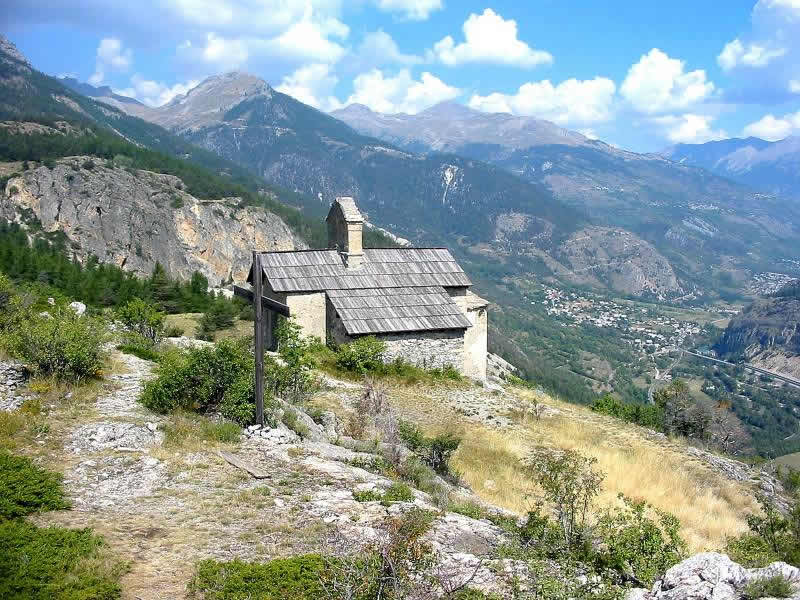
Saint Hippolyte (Chapelle de) da Saint Martin de Queyries
 4.7Km
4.7Km
02/06/2024 Hautes-Alpes, Saint-Martin-de-Queyrières D+ 800 m E Tutte
Salcette (Croix de la) da Bouchier, anello
4.8Km
29/09/2016 Hautes-Alpes, Saint-Martin-de-Queyrières D+ 1100 m E Nord-Ovest
Alpavin (Crete de l’) da Pas du Rif
6.4Km
17/10/2021 Hautes-Alpes, Vallouise-Pelvoux D+ 1700 m EE Sud-Ovest
Amont (Tete d’) da le Petit Parcher
 7.1Km
7.1Km
13/08/2011 Hautes-Alpes, Vallouise-Pelvoux D+ 940 m E Sud-Ovest
Eychauda (Sommet de l’) da Chambran
 7.7Km
7.7Km
Servizi
9.5Km