750m
750m
Note
 1.5Km
1.6Km
2Km
2Km
2Km
2.4Km
2.8Km
3.5Km
3.5Km
1.5Km
1.6Km
2Km
2Km
2Km
2.4Km
2.8Km
3.5Km
3.5Km
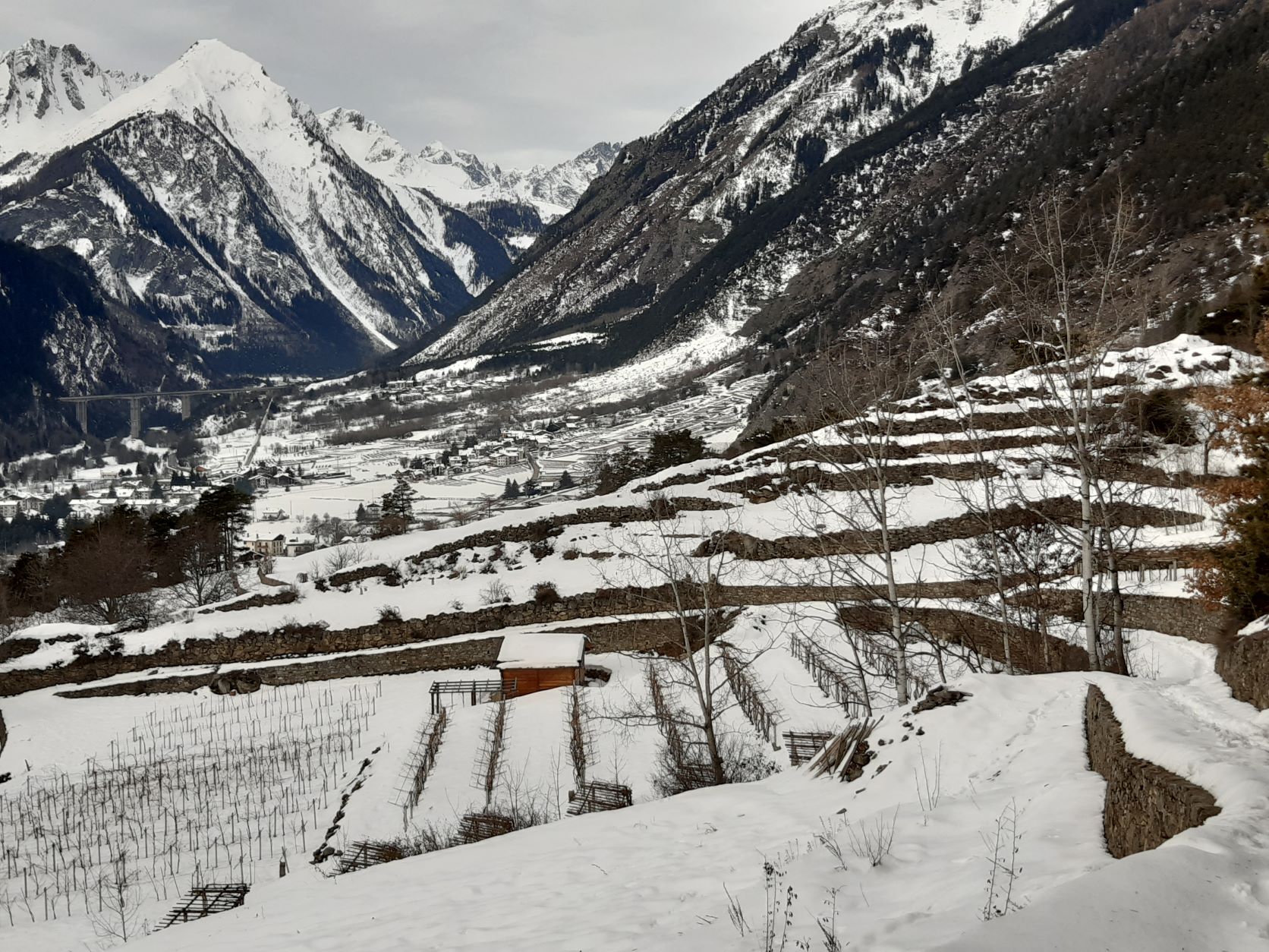
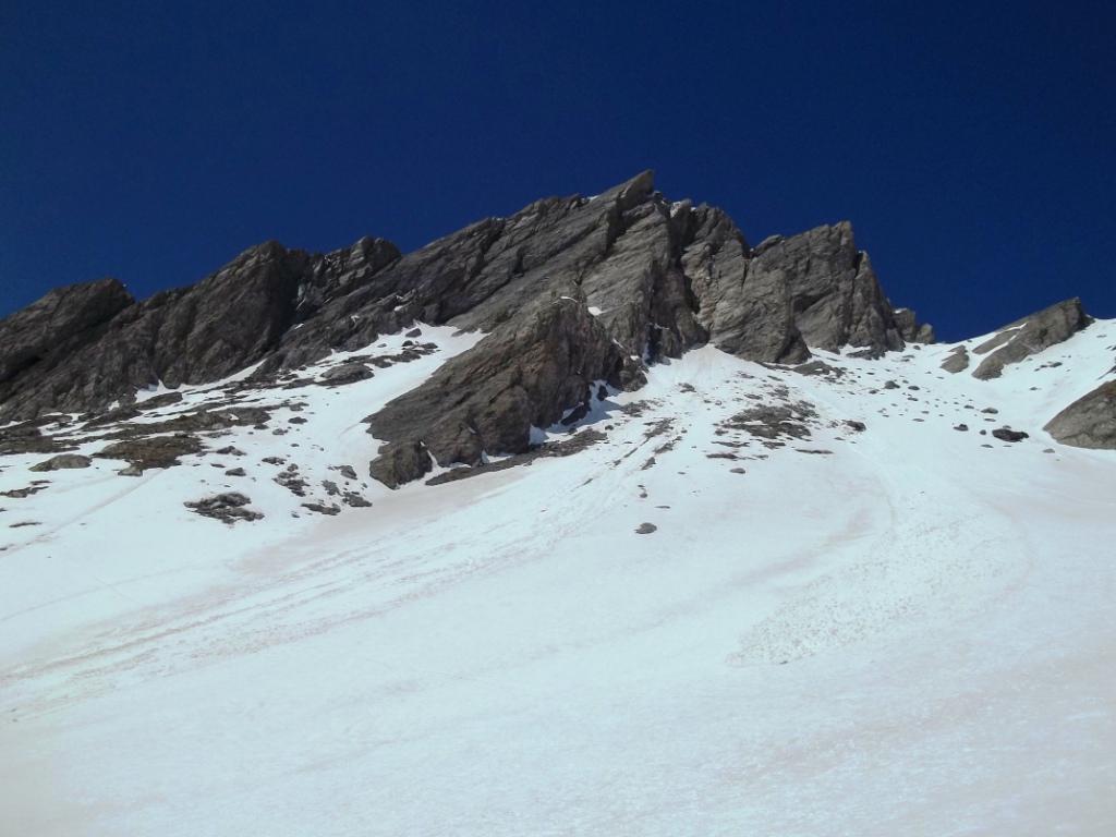
La strada che sul fondovalle e parallela alla SS26 porta da La Salle a Morgex via Thovex-La Ruine è nota come “Route des Vins”, ricordando al passante che quella è l’area con i vigneti più alti d’Europa e che produce il rinomato “Bianco di Morgex e LaSalle”. L’itinerario ad anello qui descritto, che si snoda a quota leggermente più elevata rispetto alla strada, dà la possibilità di apprezzare tre aspetti della collina di La Salle: attraversare i vigneti sulla collina tra La Clusaz e La Ruine, costeggiare per un tratto lo storico Ru de Colombaz (non visibile con neve alta) oggi abbandonato perché sostituito dal sistema di irrigazione in pressione e infine, con un dislivello contenuto, toccare lo Chateau du Chatelard dall’inconfondibile torrione.
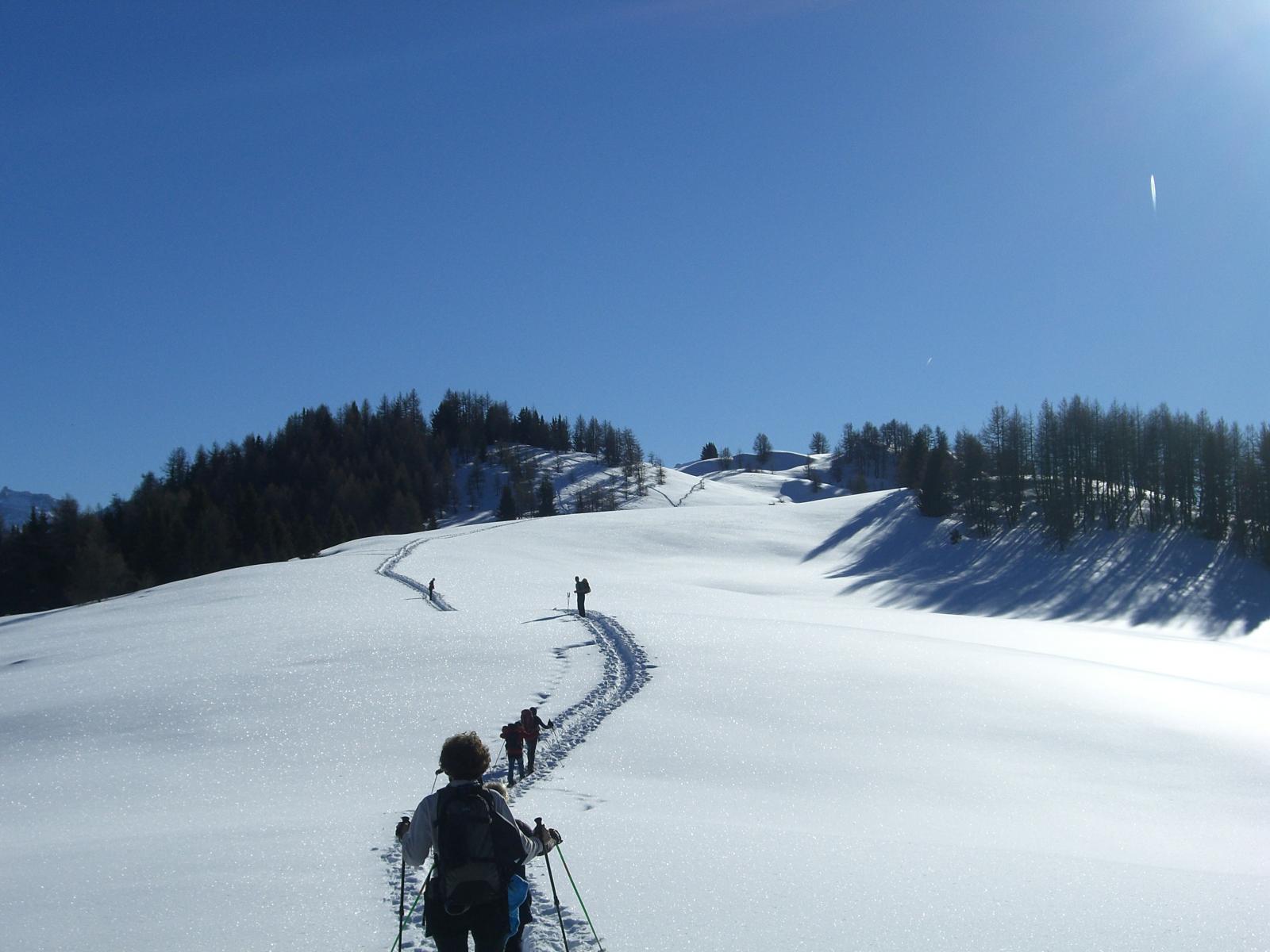
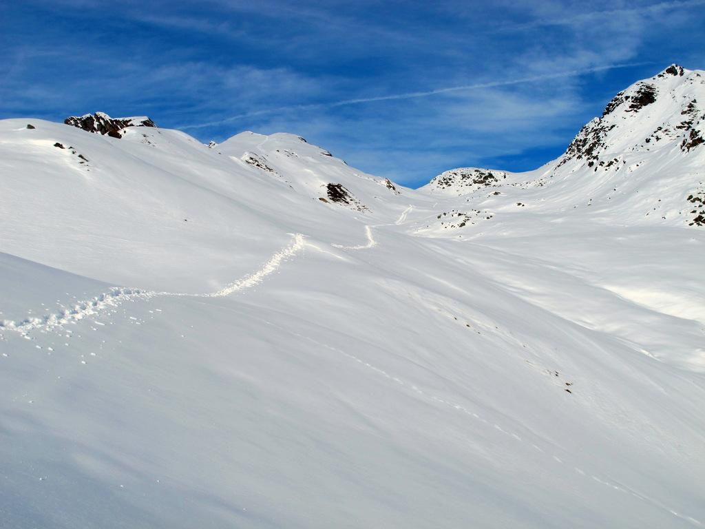
Percorribile anche in caso di abbondanti nevicate: il percorso è sempre visibile ed intuitivo, le indicazioni sono in alto sulle paline e, data la frequentazione e la sua collocazione vicino a centri abitati, è molto probabile trovare già una traccia.
Avvicinamento
Percorribile anche in caso di abbondanti nevicate: il percorso è sempre visibile ed intuitivo, le indicazioni sono in alto sulle paline e, data la frequentazione e la sua collocazione vicino a centri abitati, è molto probabile trovare già una traccia.
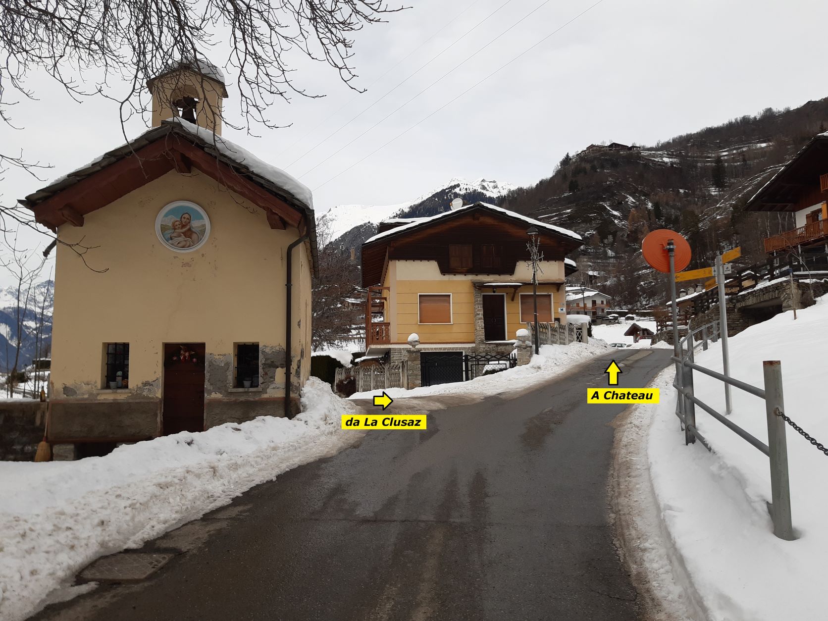
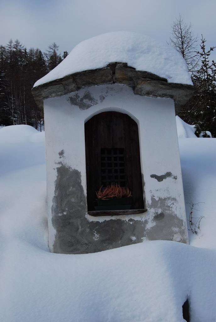
Percorrendo la SS26 raggiungere La Salle; dalla strada che sale verso il centro, al bivio seguire le indicazioni per Chatelard fino in frazione Croix des Pres (la prima che si incontra) dove si parcheggia nei pressi della Cappella (parcheggio con una decina di posti).
Descrizione
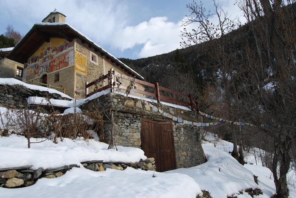
Si parte dalla Cappella di Croix des Pres: al bivio seguire il ramo con l’indicazione “L’homme et la pente” ignorando il ramo con l’indicazione del Cammino Balteo per Avise (“3” nel triangolo rovesciato) che verrà percorso al ritorno.
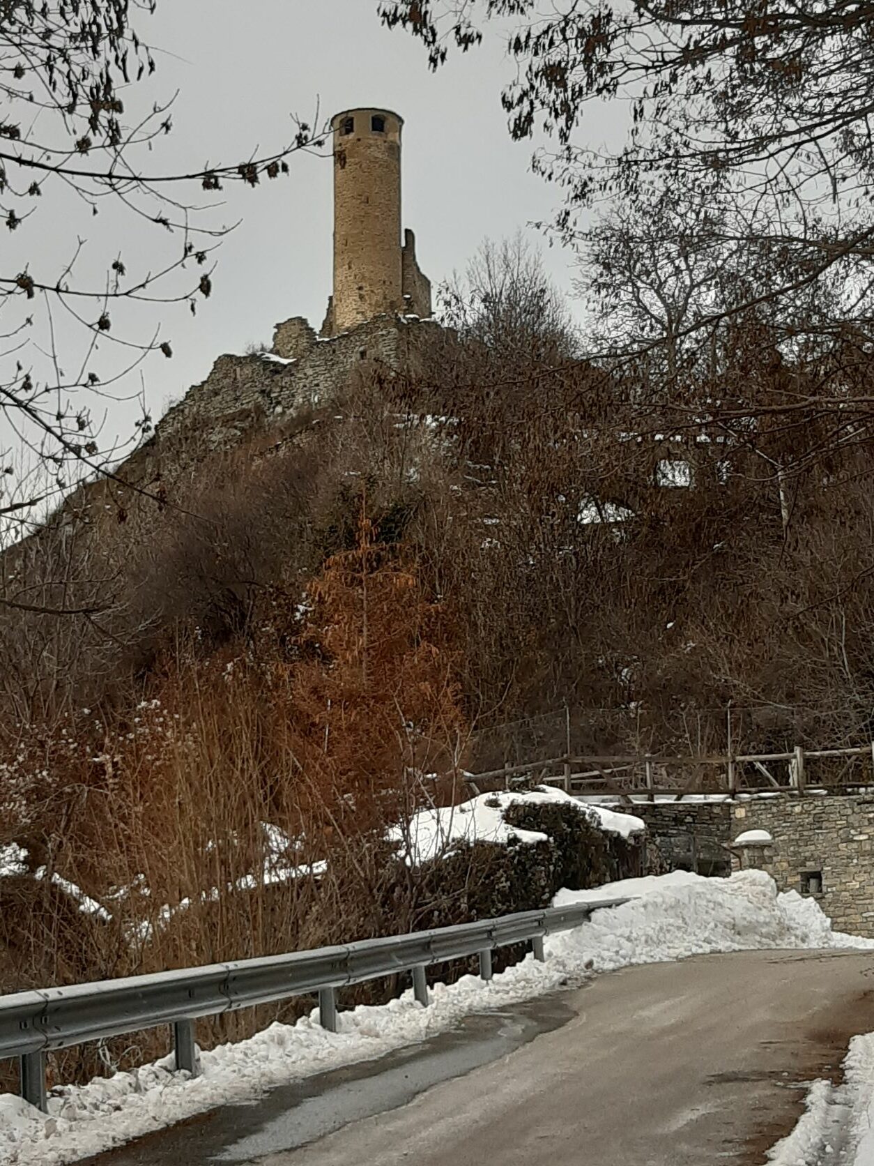
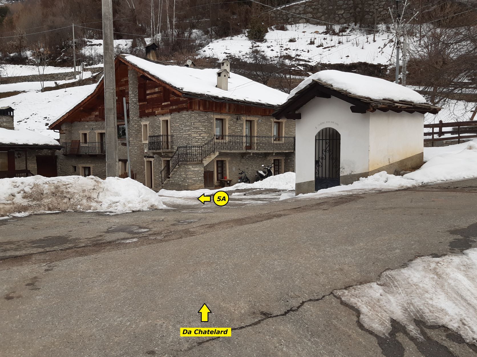
Si sale lungo la strada asfaltata che compie due larghi tornanti che a intuito si possono tagliare ma la scorciatoia non è indicata (nel dubbio seguire l’asfalto); arrivati alle porte di Chatelard prendere a destra lo stradino, delimitato dallo steccato, che sale alla sovrastante chiesetta e al centro abitato; qui si ritorna sulla strada asfaltata principale e la si segue, tagliando un paio di tornanti con le indicazioni “L’homme et la pente”, fino ad arrivare alla frazione Chateau con i ruderi della fortezza. Qui parte il sentiero 5A (non segnalato, c’è solo la palina che forse portava l’indicazione), al quale si arriva attraversando la strada, lasciandosi a destra la cappella di S. Guillermo e passando sotto un portico, oltre il quale inizia il sentiero ora segnalato da palina. Percorso un breve tratto si incontra un bivio dove occorre rimanere sul ramo di sinistra che scende; il sentiero si allarga poi a pista, quando questa piega a sinistra rimanere sullo stretto sentiero che invece curva a destra e arriva in breve al bivio, dove si incontra il sentiero n. 5 (paline segnaletiche).
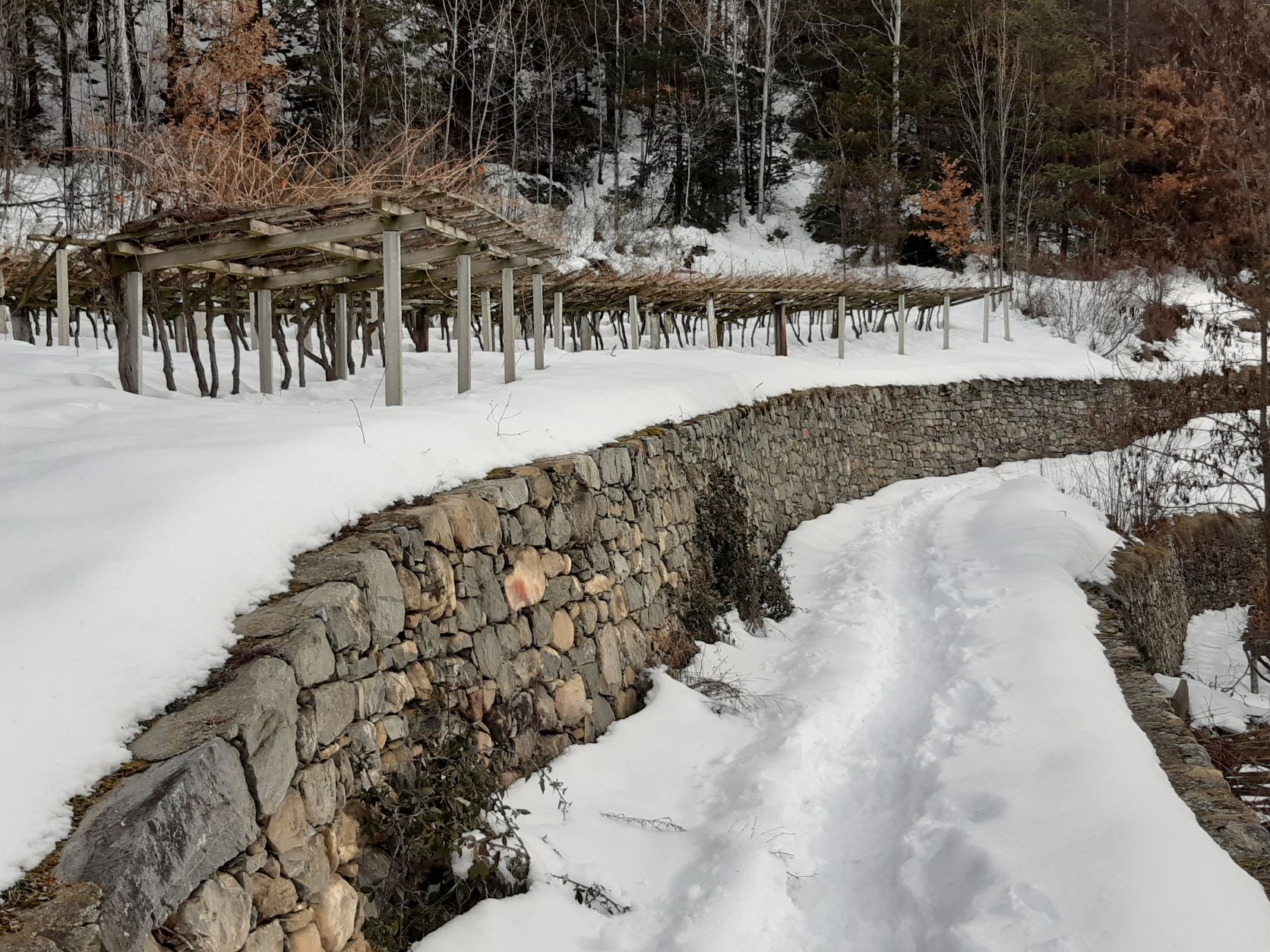
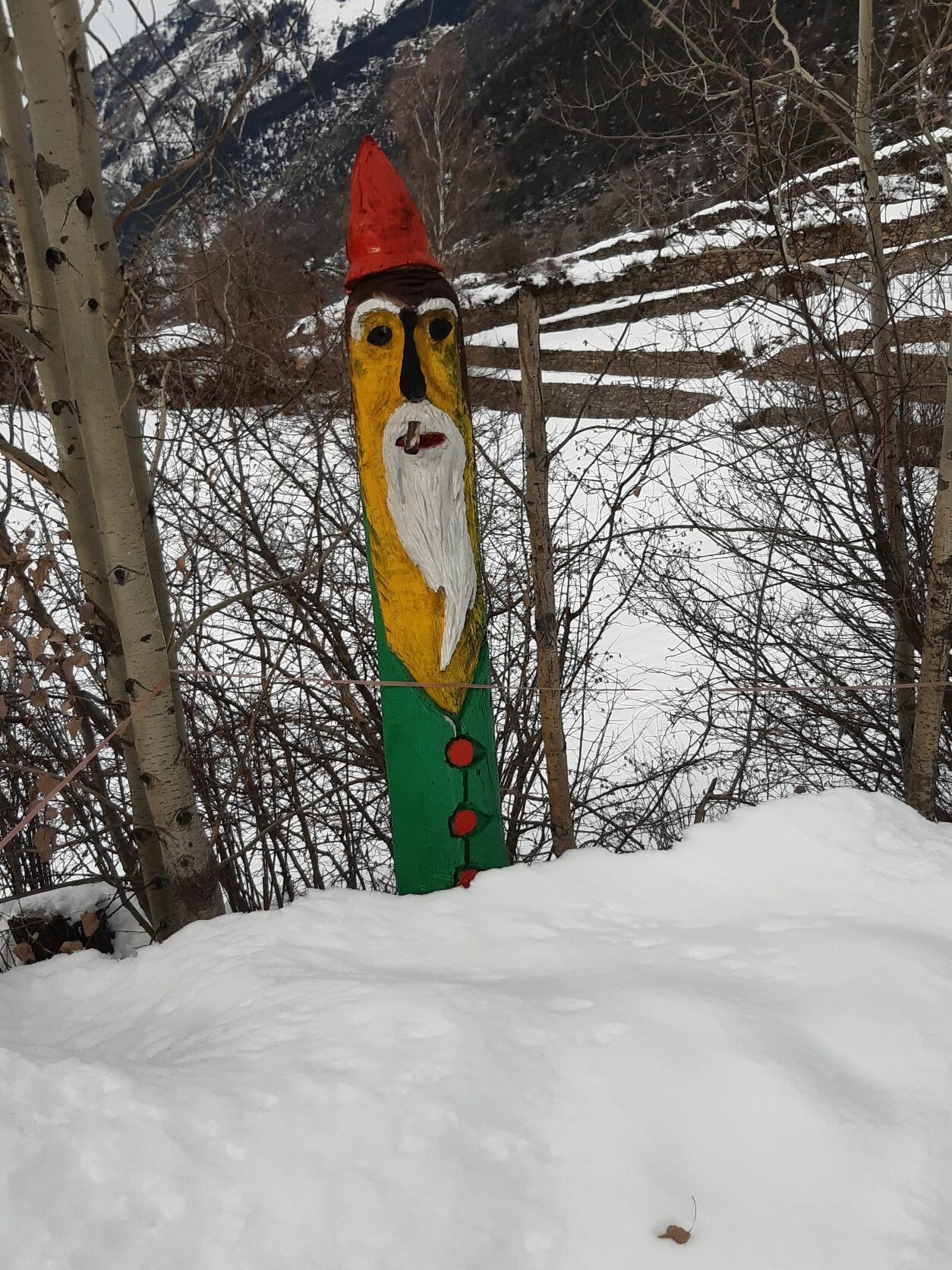
Si svolta a sinistra e si segue la pista sulla quale, intagliate nei tronchi, si trovano alcune simpatiche sculture lignee; si arriva in breve al bivio dove si incontra il Cammino Balteo (palina), si svolta a sinistra in direzione La Salle e costeggiando il Ru de Colombaz si arriva in località Tsantamerla, con poster esplicativo sul Ru, dalla quale ora si scorge il centro di La Salle. Dopo un breve tratto si è nell’abitato di La Clusaz, dal quale, seguendo la strada, si arriva alla Cappella di Croix des Pres chiudendo così l’anello.
- Cartografia:
- Carta L’Escursionista, Fg. 1 Monte Bianco-Courmayeur, Scala 1:25000, L’Escursionista Editore
Nelle vicinanze Mappa
Itinerari
08/01/2011 AO, La Salle D+ 803 m MR Nord-Est
Larzey (Alpeggio) da Chabodey
 1.5Km
1.5Km
29/12/2025 AO, La Salle D+ 620 m MR Ovest
Les Ors (Alpeggio) da Cheverel
 1.6Km
1.6Km
04/04/2026 AO, La Salle D+ 1000 m MR Varie
Fetita (Punta) o Falita da Challancin per il Col de Bard
 2Km
2Km
28/01/2018 AO, La Salle D+ 914 m MR Varie
Charvaz (Villaggio) da Challancin, traversata a Ecours
 2Km
2Km
31/01/2024 AO, La Salle D+ 650 m MR Varie
Court de Bard da Challancin
 2Km
2Km
23/12/2023 AO, La Salle D+ 1128 m BR Sud-Ovest
Frà (Testa dei) da Morge per il Colle Fetita
 2.4Km
2.4Km
12/02/2012 AO, Morgex D+ 866 m MR Varie
Liconi (Alpeggi) da La Ruine
 2.8Km
2.8Km
05/03/2023 AO, La Salle D+ 1370 m BR, F Sud-Ovest
Grand Creton da Planaval per l’alpe Bonalè
3.5Km
27/03/2022 AO, La Salle D+ 1320 m BR Sud
Artanavaz (Aiguille d’) da Planaval
 3.5Km
3.5Km
17/11/2012 AO, La Salle D+ 1023 m BR Sud-Ovest
Serena (Costa di) quota 2785 m da Planaval
 3.5Km
3.5Km