3.7Km
3.7Km
Note
 50m
50m
50m
50m
50m
50m
50m
50m
50m
50m
50m
50m
50m
50m
50m
50m
50m
50m
50m
50m
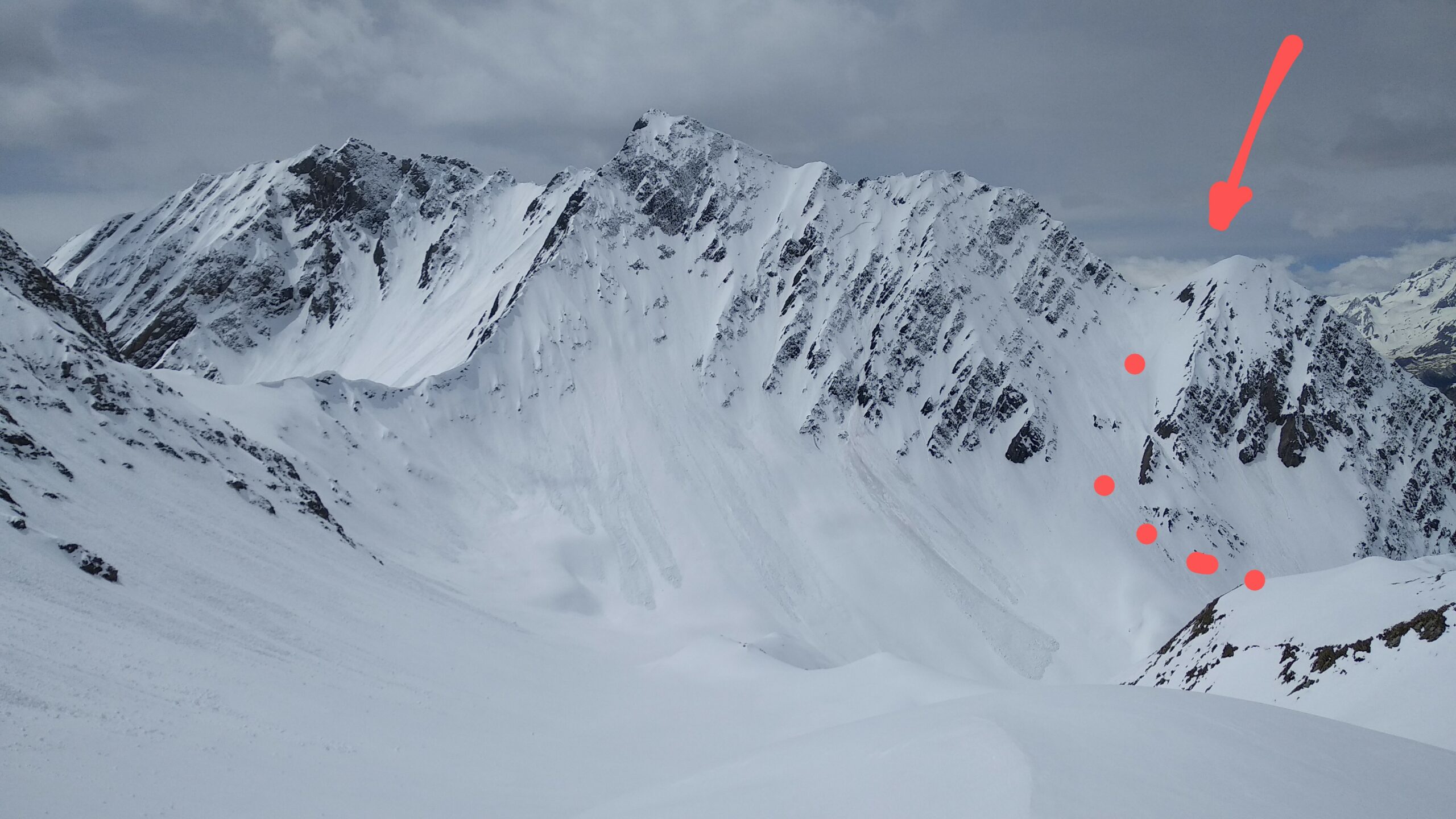
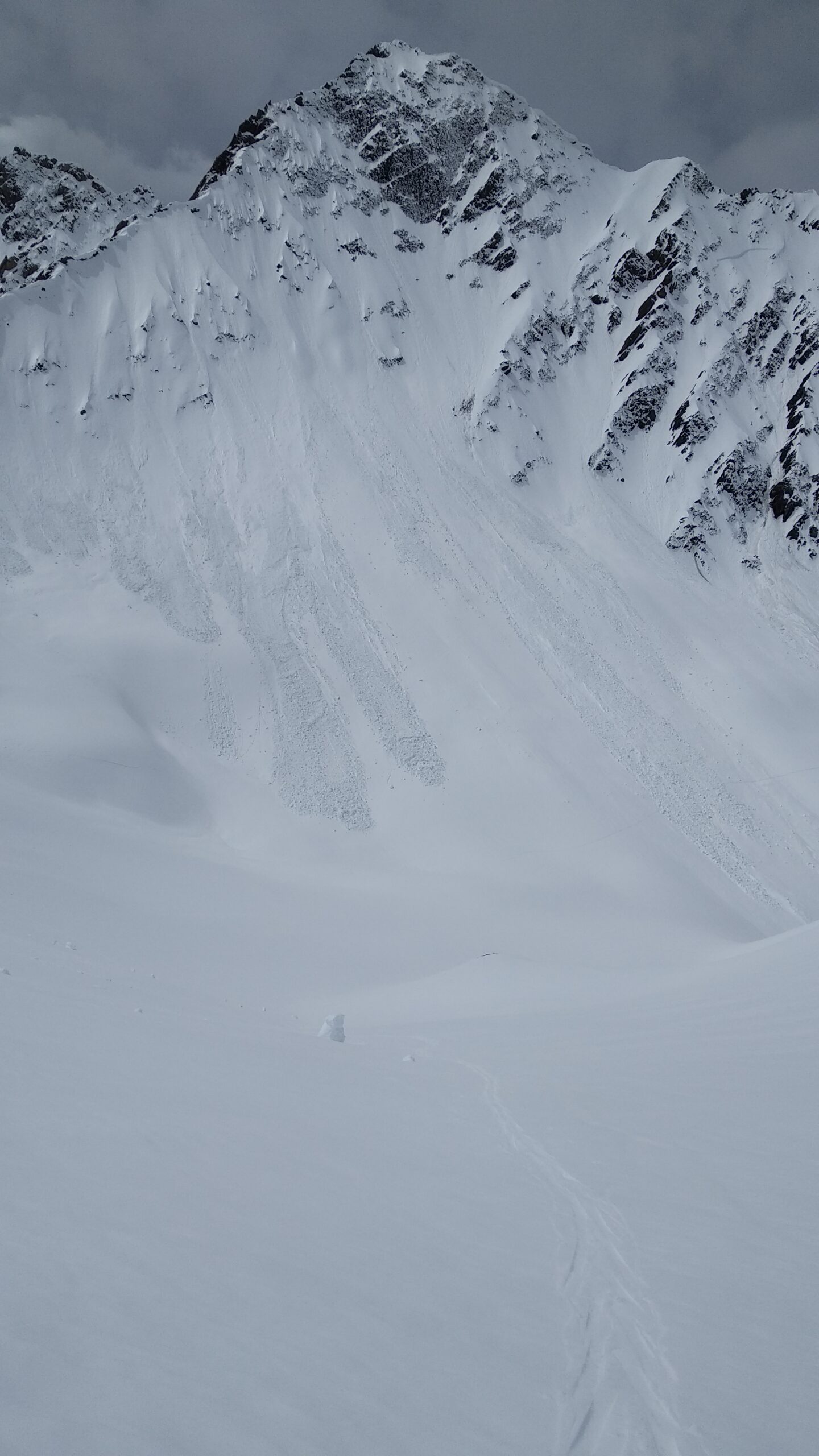
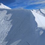
Pendii ripidi molto valangosi
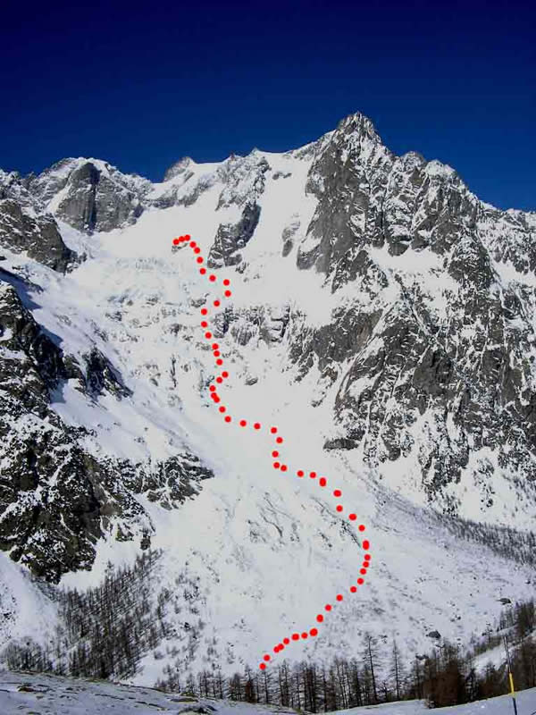
Avvicinamento
Da Courmayeur, salire in Val Ferret. D'inverno la strada è chiusa a Planpincieux. Questa località è accessibile con navette/auto-propria in base ad orari fissati dal Comune.
Descrizione
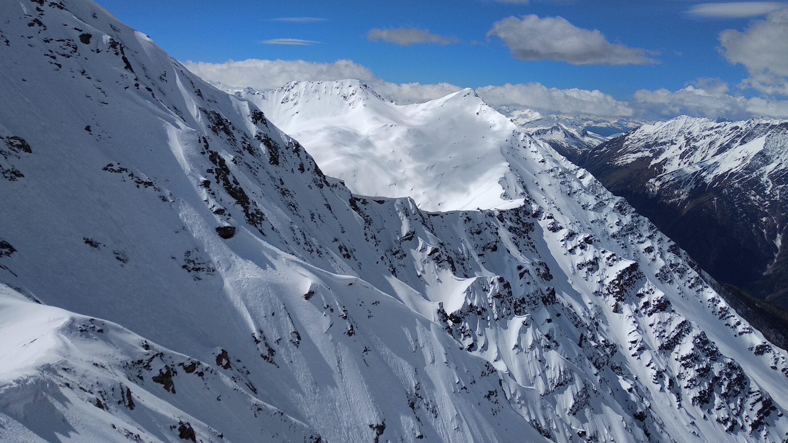
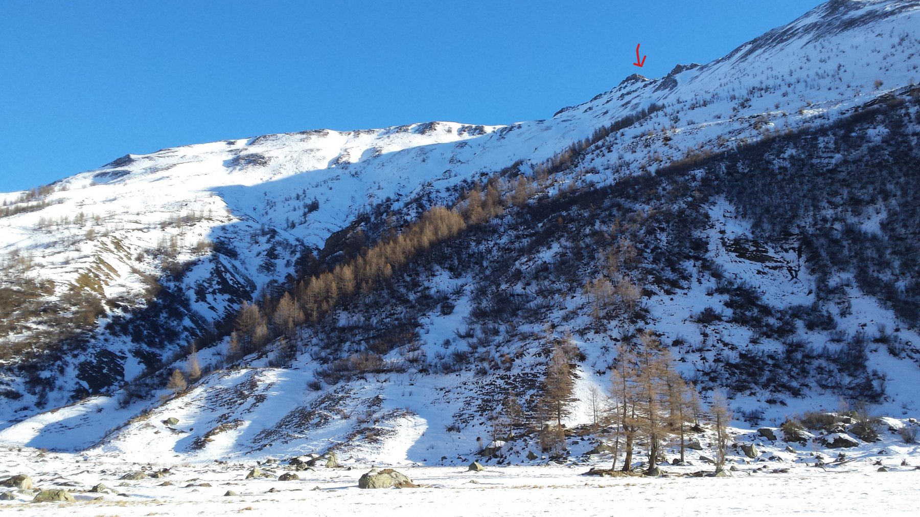
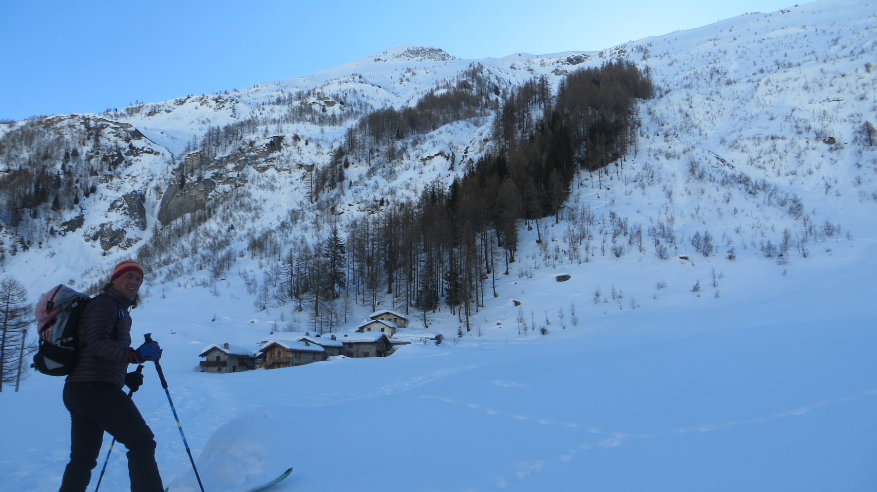
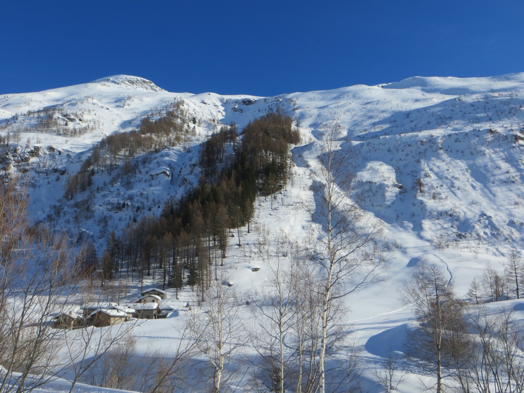
Da Planpincieux seguire la pista di fondo fino alla località Tronchey. Qui, lasciare il fondovalle e iniziare a salire in direzione del vallone di Arminaz. Un breve strappo più ripido dà accesso al lungo pianoro dove sorgono le baite di Arminaz (2000 m circa).
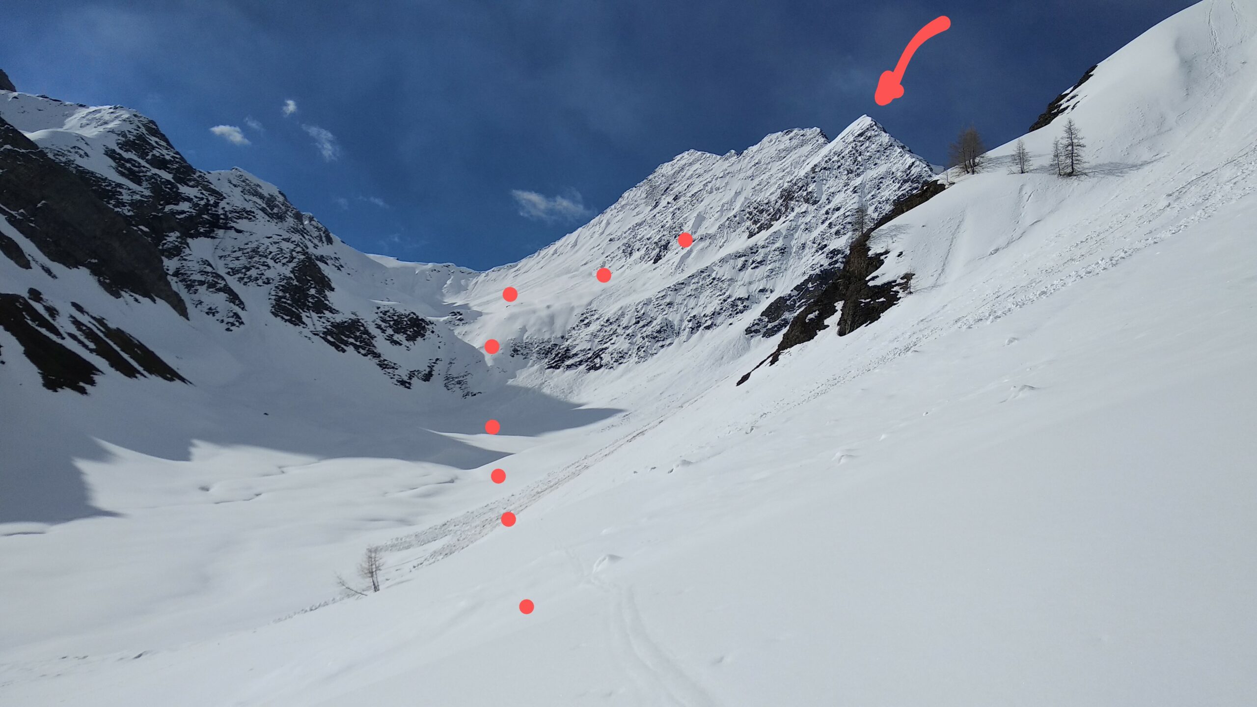
Proseguire stando nel fondo del vallone e giungere alla deviazione che (a sx) conduce alla Tête entre Deus Sauts. Ignorare il bivio e salire dritto verso il canale che scende dal pianoro dominato dal colle di Chambave.
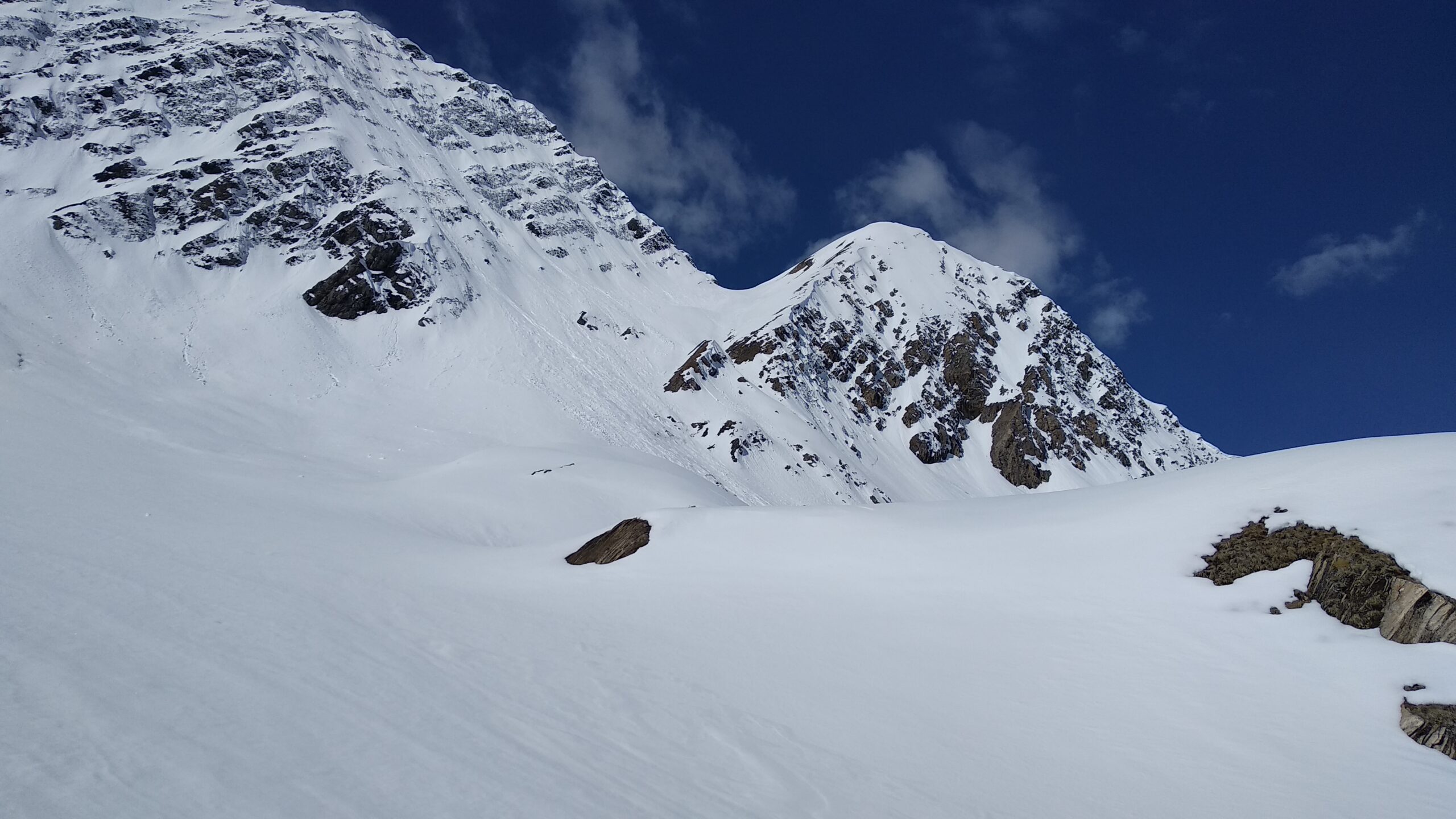
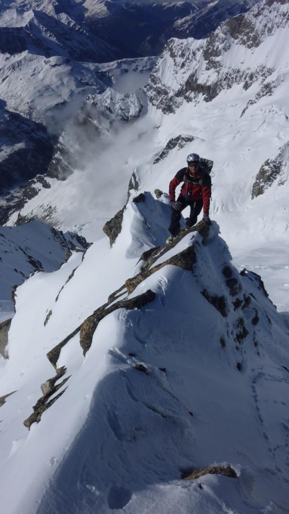
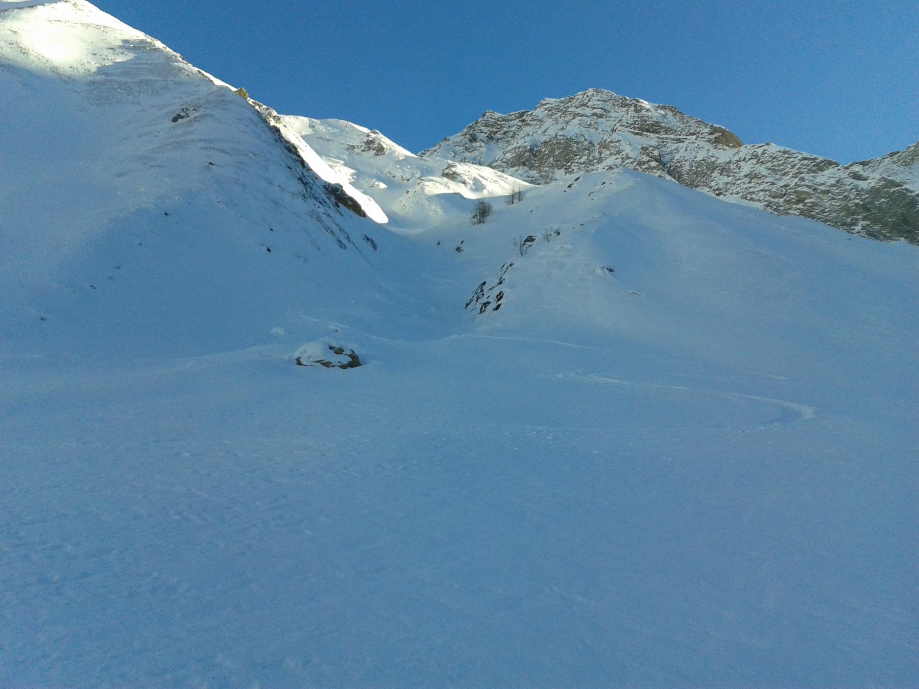
Giunti nel pianoro soprastante, voltare a dx e imbocare il canale che arriva a pochi metri tra l’anticima e la Tête du Curru. Ancora pochi m a dx e si perviene al panoramico panettoncino.
Nelle vicinanze Mappa
Itinerari
12/12/2015 AO, Courmayeur D+ 1120 m BSA Ovest
Bellecombe (Mont) o Bella Comba da Planpincieux
 50m
50m
11/05/2013 AO, Courmayeur D+ 2005 m OSA Sud-Ovest
Greuvetta o Gruetta (Mont) da Planpincieux
 50m
50m
27/05/2021 AO, Courmayeur D+ 1200 m OSA, F Nord
Chambave (Colle di) da Planpincieux
 50m
50m
27/05/2021 AO, Courmayeur D+ 1300 m OSA, F Nord
Battaglione Aosta (Colle) da Planpincieux
 50m
50m
18/01/2022 AO, Courmayeur D+ 1000 m MS Nord-Ovest
Tronche (Testa della) e Testa Bernarda da Planpincieux per il Vallone di Arminaz
 50m
50m
17/02/2024 AO, Courmayeur D+ 1240 m BSA, F Nord-Ovest
Chéarfière (Mont) da Planpincieux
 50m
50m
18/02/2020 AO, Courmayeur D+ 770 m MS Nord-Ovest
Saxe (Mont de la) da Planpincieux
 50m
50m
02/01/2026 AO, Courmayeur D+ 975 m BS Nord-Ovest
Bernarda (Testa) da Plampincieux
 50m
50m
20/04/2026 AO, Courmayeur D+ 1150 m BS Nord-Ovest
Entre Deux Sauts (Tète) da Planpincieux, giro dei Valloni Malatrà e Armina
 50m
50m
13/03/2005 AO, Courmayeur D+ 1260 m OS, PD Sud
Gervasutti Giusto (Bivacco) da Planpincieux
 50m
50m