3.7Km
3.7Km
Note
 50m
50m
50m
50m
50m
50m
50m
50m
50m
50m
50m
50m
50m
50m
50m
50m
50m
50m
50m
50m
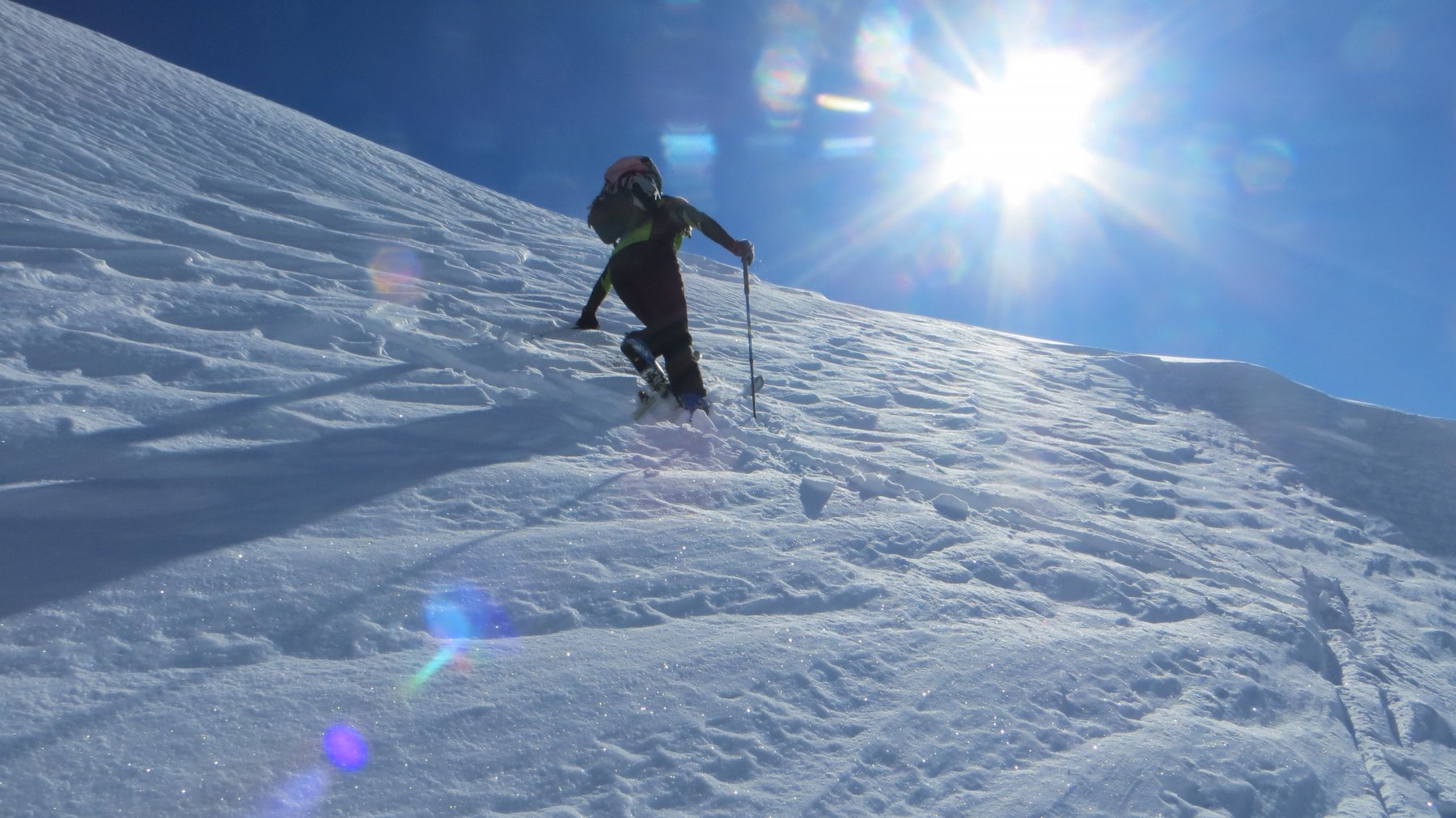
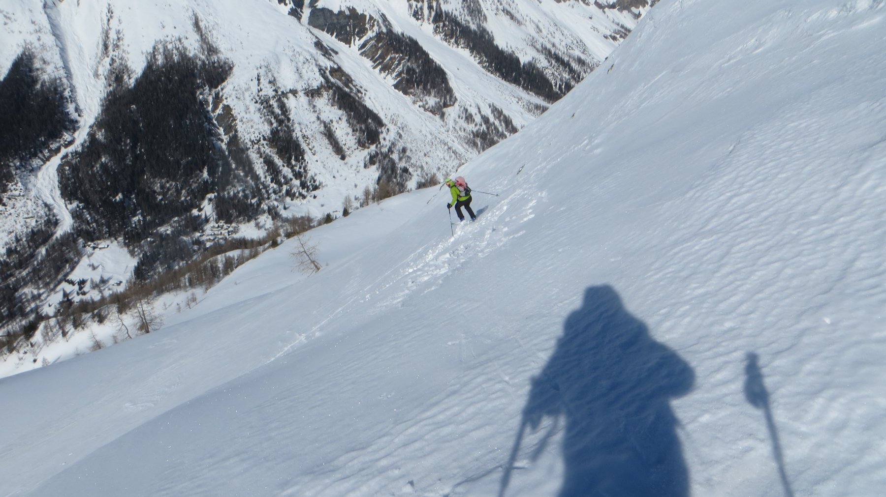
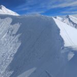
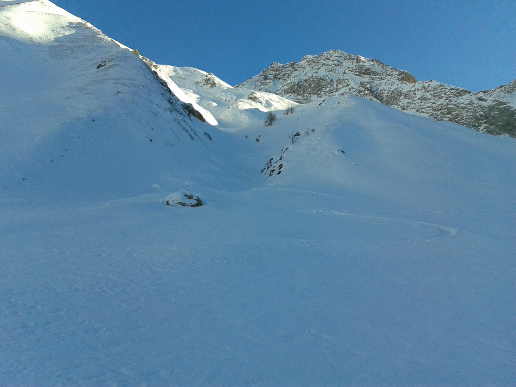
In base alle condizioni, utili i ramponi. Per la discesa, se le condizioni di sicurezza sono buone, si può utilizzare il ripido pendio poco a nord della cima (si transita vicino a dei paravanghe).
C'è da dire che non si tratta di una vera e propria punta in quanto il M. de la Saxe è più che altro un lungo dosso che culmina con la Testa Bernarda e la Testa della Tronche.
Avvicinamento
C'è da dire che non si tratta di una vera e propria punta in quanto il M. de la Saxe è più che altro un lungo dosso che culmina con la Testa Bernarda e la Testa della Tronche.
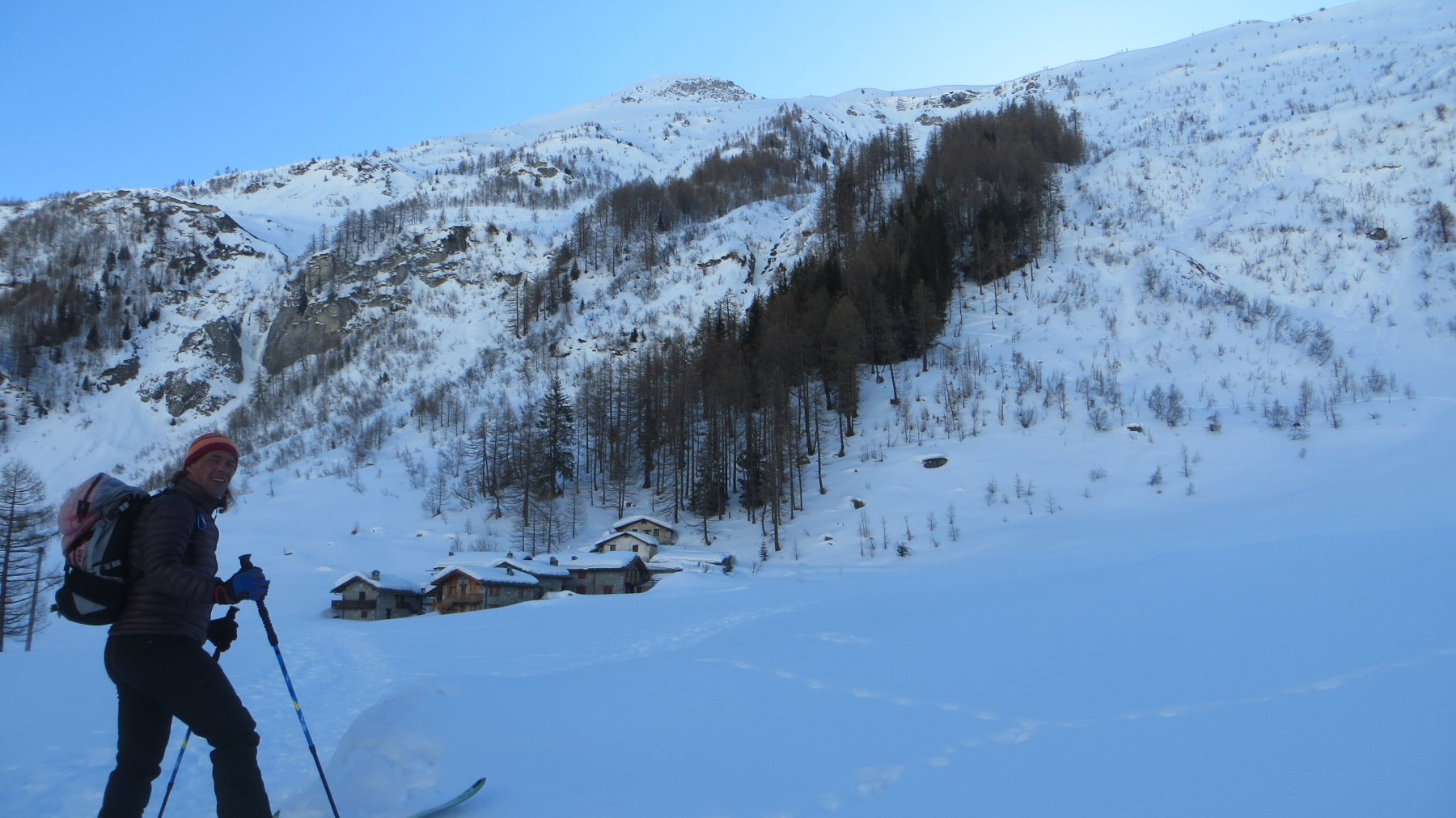
Da Courmayeur salire in Val Ferret fino alla loc. Planpimcieux dove, in inverno, la strada viene chiusa alle auto. Nei giorni festivi la strada della Val Ferret è raggiungibile solo utilizzando il servizio bus/navetta (a pagamento).
Descrizione
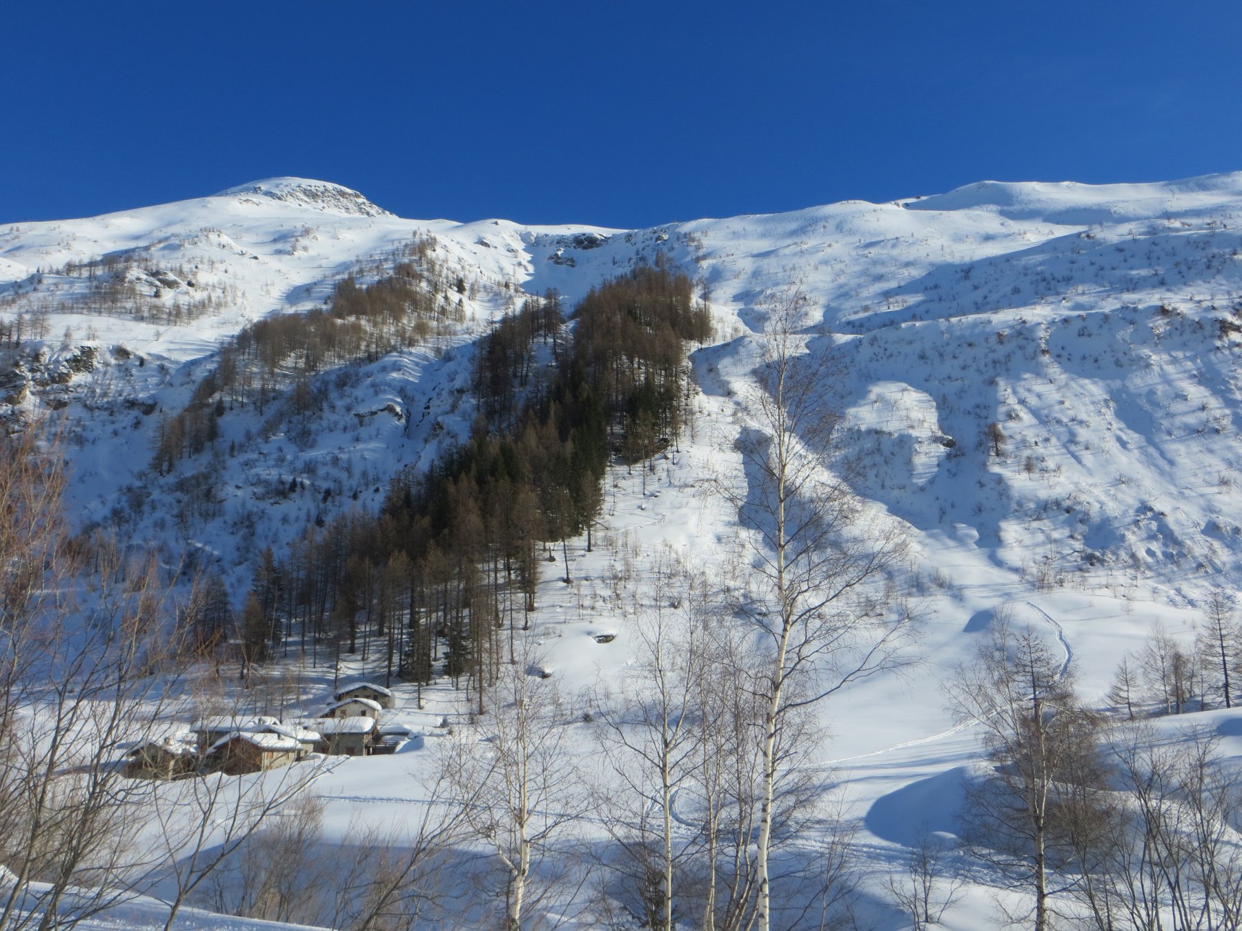
Da Planpincieux seguire la pista di fondo in leggera salita. Poco prima di arrivare ad una piccola cappella, voltare attraversare il torrente utilizzando il ponticello, seguendo le indicazioni per il rifugio Bertone (alta via n 1).
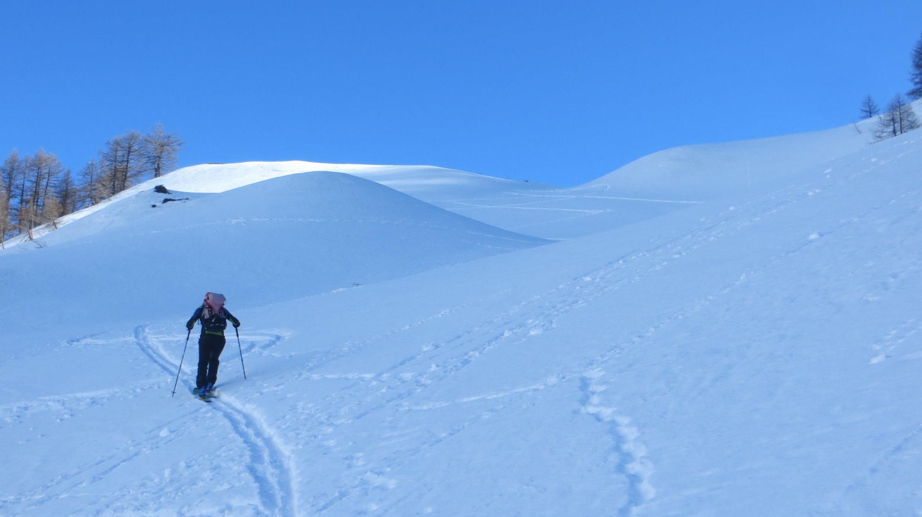
Inizialmente si segue una poderale. Un grosso prato precede un traverso da farsi seguendo il sentiero estivo.
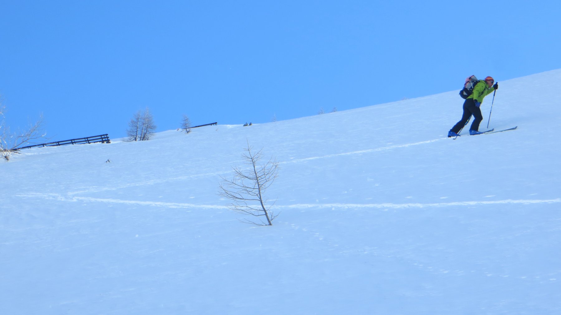
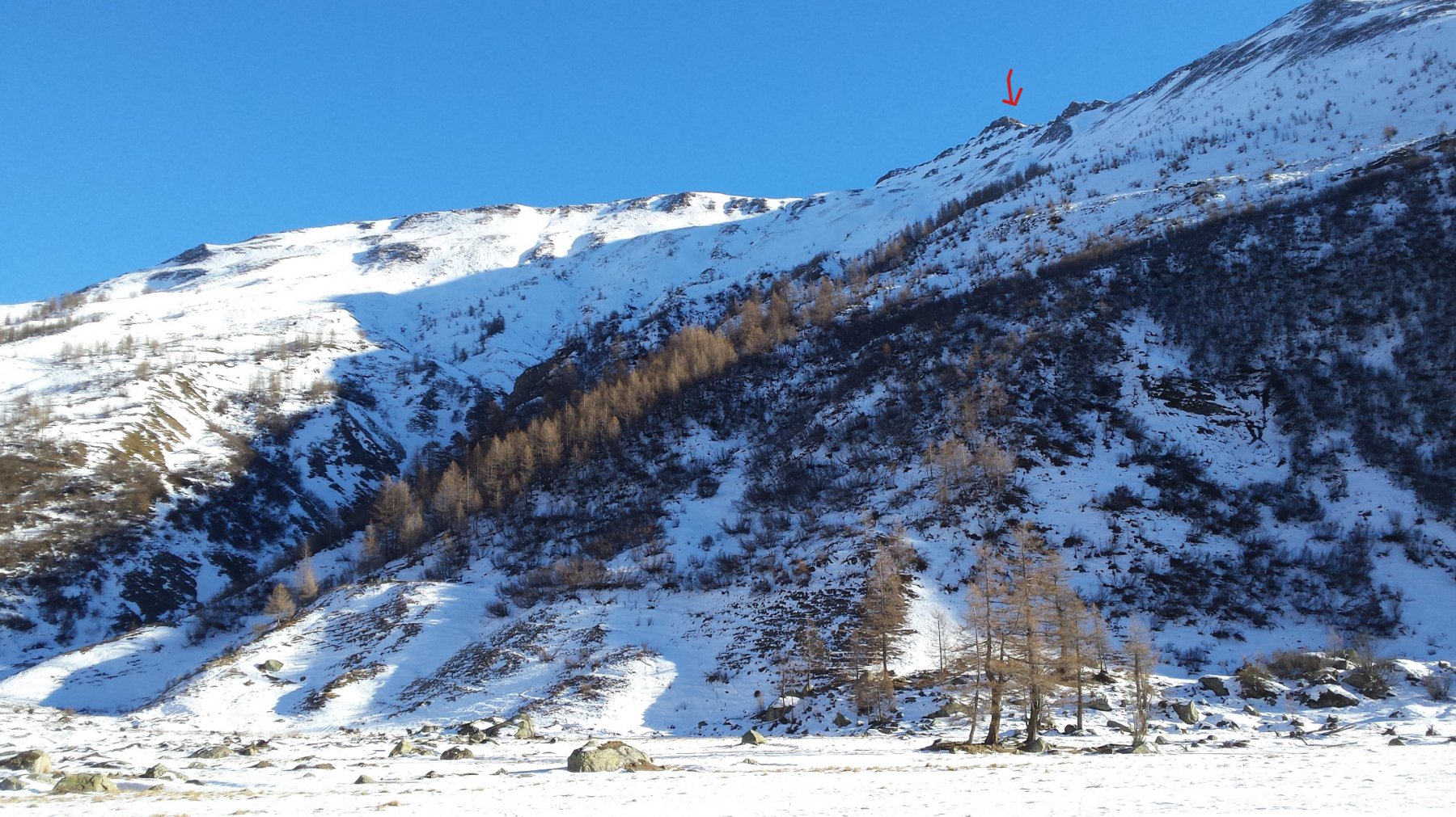
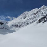
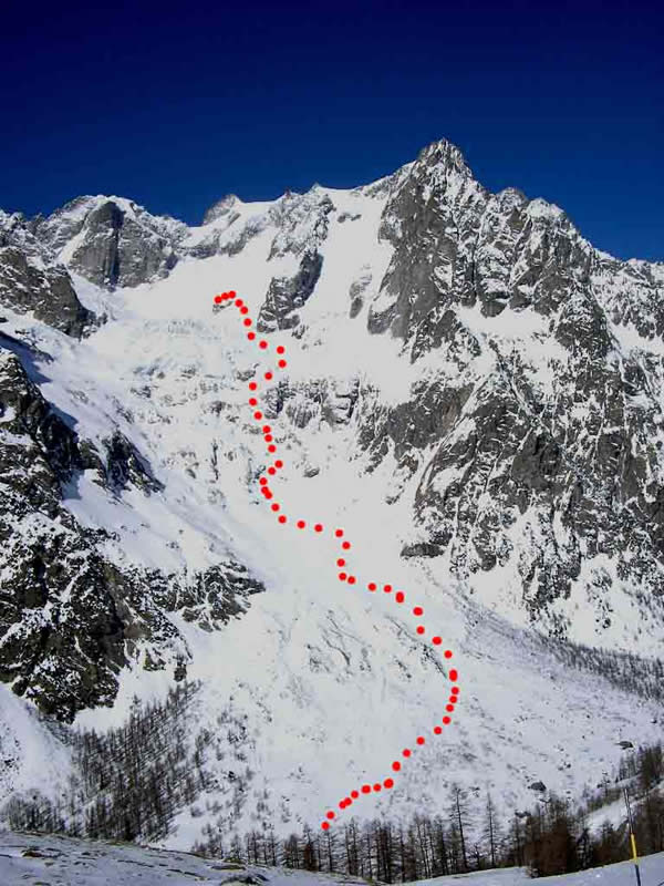
Sbucati dagli alberi, dopo aver superato alcuni dossi, si giunge ad una ventina di metri dallo spartiacque.
Quest’ultimo tratto è molto ripido e valangoso. In base alle condizioni, prevedere una risalita a piedi con -eventualmente – i ramponi ai piedi.
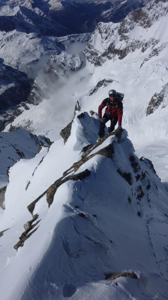
Raggiunta la dorsale, girare a sx per raggiungere poco oltre la cima.
Nelle vicinanze Mappa
Itinerari
11/05/2013 AO, Courmayeur D+ 2005 m OSA Sud-Ovest
Greuvetta o Gruetta (Mont) da Planpincieux
 50m
50m
27/05/2021 AO, Courmayeur D+ 1200 m OSA, F Varie
Curru (Tête du), anticima nord da Planpincieux
 50m
50m
27/05/2021 AO, Courmayeur D+ 1200 m OSA, F Nord
Chambave (Colle di) da Planpincieux
 50m
50m
12/12/2015 AO, Courmayeur D+ 1120 m BSA Ovest
Bellecombe (Mont) o Bella Comba da Planpincieux
 50m
50m
17/02/2024 AO, Courmayeur D+ 1240 m BSA, F Nord-Ovest
Chéarfière (Mont) da Planpincieux
 50m
50m
27/05/2021 AO, Courmayeur D+ 1300 m OSA, F Nord
Battaglione Aosta (Colle) da Planpincieux
 50m
50m
18/01/2022 AO, Courmayeur D+ 1000 m MS Nord-Ovest
Tronche (Testa della) e Testa Bernarda da Planpincieux per il Vallone di Arminaz
 50m
50m
02/01/2026 AO, Courmayeur D+ 975 m BS Nord-Ovest
Bernarda (Testa) da Plampincieux
 50m
50m
13/03/2005 AO, Courmayeur D+ 1260 m OS, PD Sud
Gervasutti Giusto (Bivacco) da Planpincieux
 50m
50m
20/04/2026 AO, Courmayeur D+ 1150 m BS Nord-Ovest
Entre Deux Sauts (Tète) da Planpincieux, giro dei Valloni Malatrà e Armina
 50m
50m