Note
 3.2Km
4.7Km
8.6Km
8.6Km
8.6Km
8.6Km
10.8Km
3.2Km
4.7Km
8.6Km
8.6Km
8.6Km
8.6Km
10.8Km
Facile anello , senza difficoltà, ombreggiato, segnalato
Avvicinamento
Bordighera. Mentone, Sospel, col Turini
Descrizione
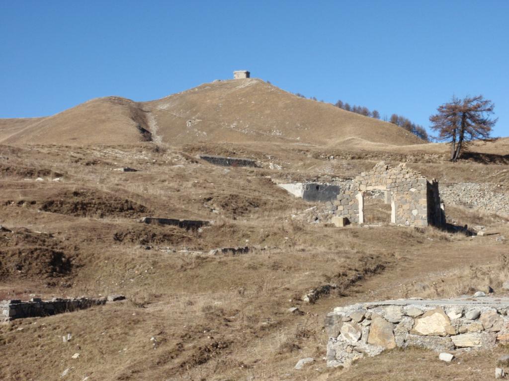
Dal colle pendere la strada asfaltata x Camp d’Argeant abbandonarla al tornante con indicazioni x la vacherie de Mantegas e proseguire su sterrata, giunti all’alpeggio (ottima toma e bruss) prendere x tete di Scoubayoun, la sterrata diventa sentiero s con un anello intorno alla testa ritorna all’alpeggio.
Tornati al colle prendere il sentiero dietro lo scivolo x le ciambelle pneumatiche con direzione L’escallou, proseguire sul versante NO, su sentiero fino ad una sella dove invertendo la direzione con traverso sul versante SE si rientra
- Cartografia:
- vedi traccia
Nelle vicinanze Mappa
Itinerari
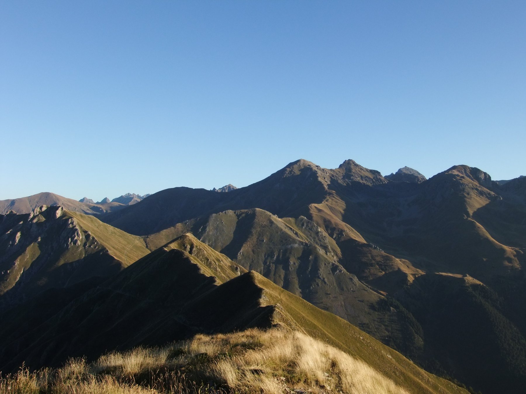
21/06/2026 Alpes-Maritimes, Moulinet D+ 650 m E Varie
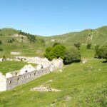
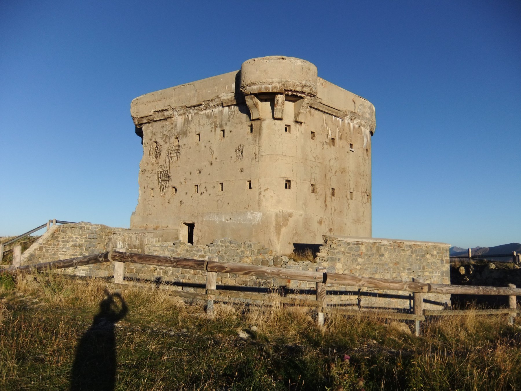
Trois Communes (Pointe des) dalla Baisse de Tuei, anello dei forti dell’Authion
 3.2Km
3.2Km
29/08/2015 Alpes-Maritimes, Breil-sur-Roya D+ 1350 m E Varie
Diable (Cime du) – l’Authion da Redoute des Trois Communes, anello per il Pas du Diable
 4.7Km
4.7Km
30/10/2011 Alpes-Maritimes, Moulinet D+ 800 m E Est
Peira Cava (Cime de) da Moulinet, anello
4.9Km
01/11/2009 Alpes-Maritimes, Saorge D+ 1080 m E Est
Trois Communes (Pointe des) dal Vallon de Cairos e la Baisse de Saint Veran
 8.6Km
8.6Km
21/05/2024 Alpes-Maritimes, Saorge D+ 1186 m EE Varie
Tuor (Cime de) dal Vallon de Cairos
 8.6Km
8.6Km
08/11/2015 Alpes-Maritimes, Saorge D+ 1850 m EE Varie
Diable (Cime du) e Mont Capelet Superieur dal Vallon de Cairos, anello per Pas du Trem e Diable
 8.6Km
8.6Km
30/11/2011 Alpes-Maritimes, Saorge D+ 1232 m E Varie
Trois Communes (Pointe des) dal Vallon de Cairos per la Baisse de Caran
 8.6Km
8.6Km
09/12/2018 Alpes-Maritimes, Saorge D+ 1650 m EE Varie
Chagiasse (Cime de) e Mont Macruera dal Vallon de Cairos
8.6Km
01/02/2016 Alpes-Maritimes, Saorge D+ 1200 m E Nord
Ventabren (Pointe de) dal Vallon de Cairos per la Baisse de Caran
8.6Km
10/08/2010 Alpes-Maritimes, Belvédère D+ 1900 m EE Tutte
Fous (Pas de la) dal Pont du Countet, anello per i rifugi Nizza, Valmasque e Merveilles (4 gg)
 10.8Km