1.2Km
1.2Km
Note
 50m
50m
1.1Km
1.1Km
2.1Km
2.1Km
2.1Km
2.1Km
2.1Km
2.1Km
50m
50m
1.1Km
1.1Km
2.1Km
2.1Km
2.1Km
2.1Km
2.1Km
2.1Km
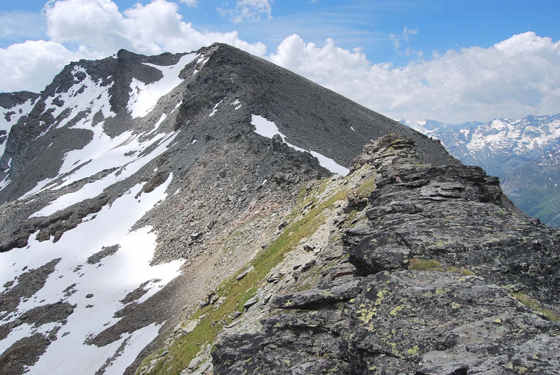
La Becca di Verconey non rientra certo tra le top-vette, forse perché oscurata dalla più illustre Becca di Tos lì vicino. Il percorso di salita è in parte comune (la prima parte, che naturalmente è la più faticosa), è anche più breve e naturalmente nel segno della wilderness: non si trovano tracce lungo il percorso, e sulla sommità niente sassi o ometti. Una vetta forse dimenticata o trascurata, riservata agli amanti della solitudine e del silenzio.
Avvicinamento
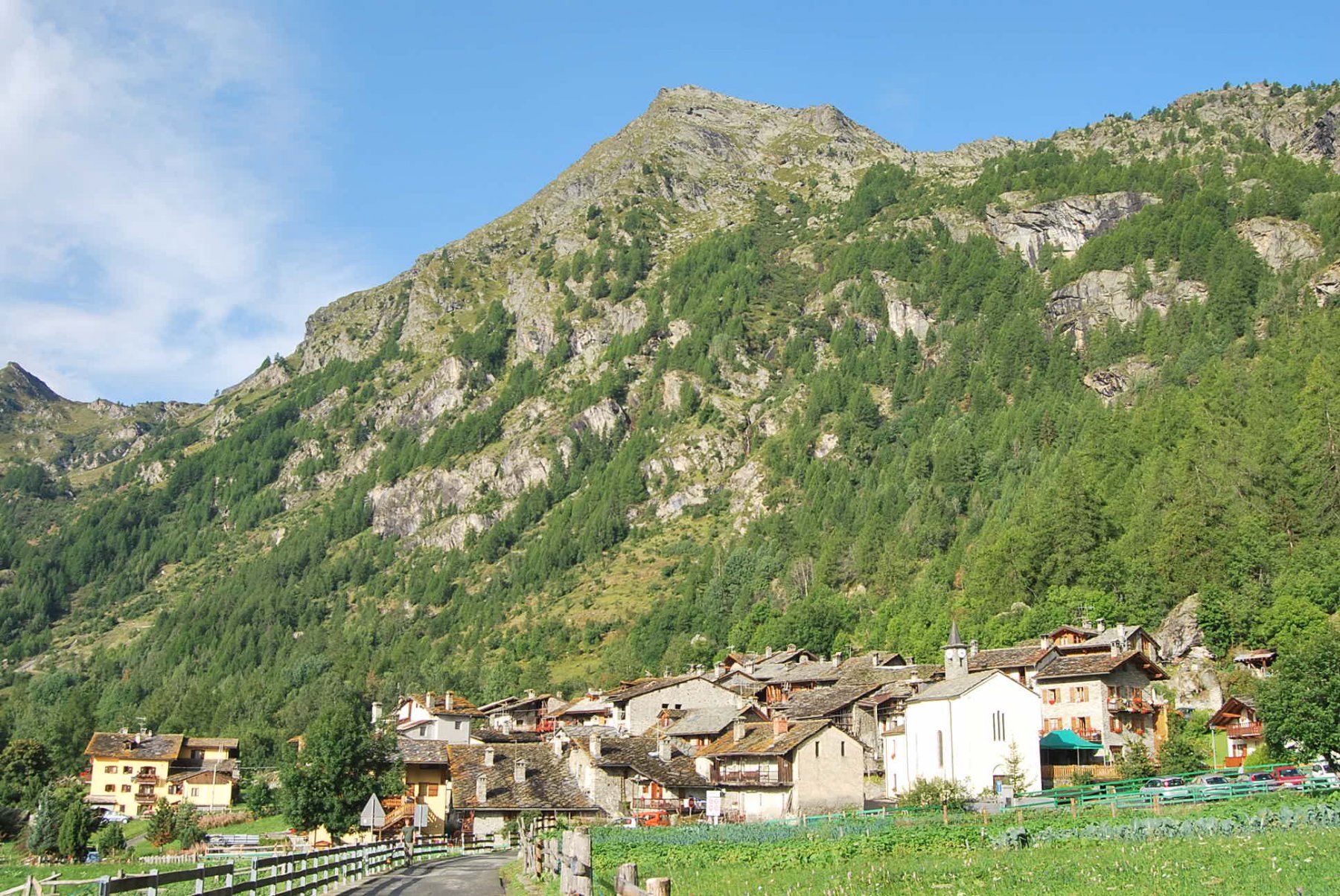
Seguire la SS 26 della Valle d’Aosta fino ad Arvier, dove si seguono le indicazioni per la Valgrisenche. Risalire la valle fino a Revers, dove si parcheggia (posti auto limitati).
Descrizione
A Revers si passa il ponte sulla Dora, si attraversa il villaggio e si segue la sterrata con i segni dell’AV2 e le indicazioni (palina) per il sentiero 22 “d’antan” e il 4B per l’Alpe di Boregne. Percorso un breve tratto, dalla sterrata si stacca a sinistra, indicato da targhe in legno pirografate, il sentiero 4B, all’inizio un po’ incerto (c’è un ometto ad indicarlo) e poi sempre evidente. Il sentiero sale regolare nel fitto bosco, con radi segni gialli sui sassi un po’ nascosti dagli aghi di pino, incrocia una prima sterrata (solo la palina senza la targa gialla), attraversa due corsi d’acqua per poi uscire dal bosco e sbarcare sui prati, dove di colpo si interrompe e si perde. Proseguire seguendone l’ideale linea retta, si incrocerà (palina) la strada che proviene da Provence e diretta a Boregne; dall’altro lato della sterrata il sentiero ritorna marcato ed evidente e termina proprio di fronte agli alpeggi. (In alternativa, quando il sentiero si perde nel prato, si può puntare a destra verso i pini, si trova una pista che confluisce sulla strada lungo la quale si arriva agli alpeggi).
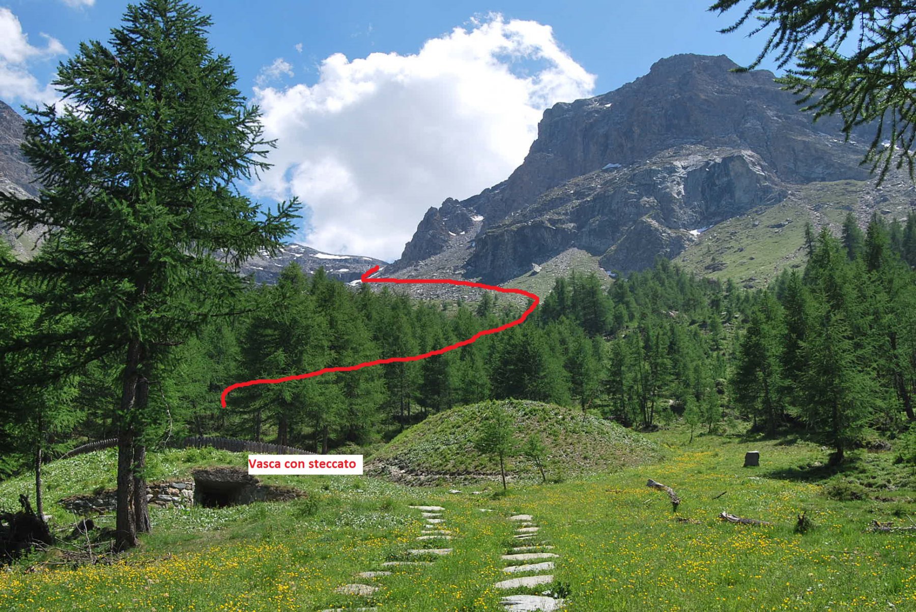
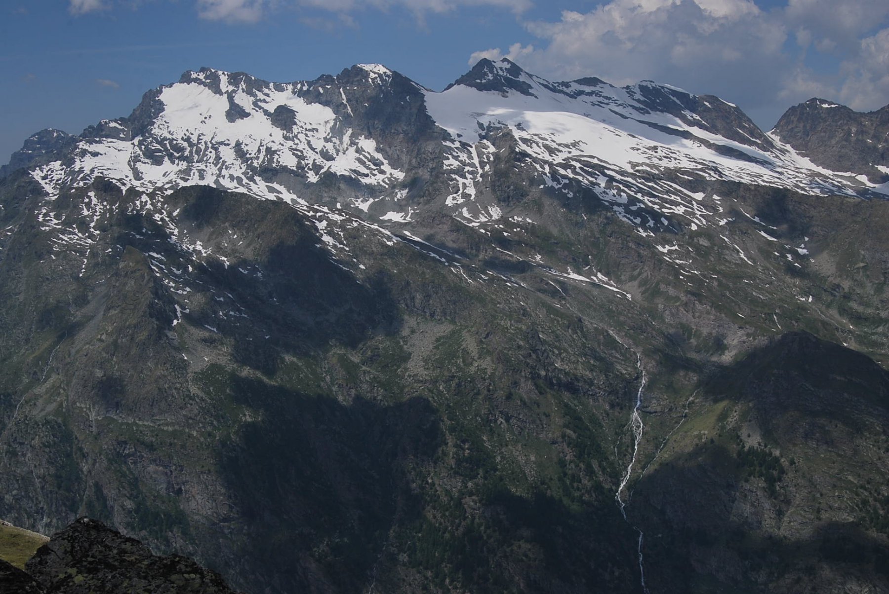
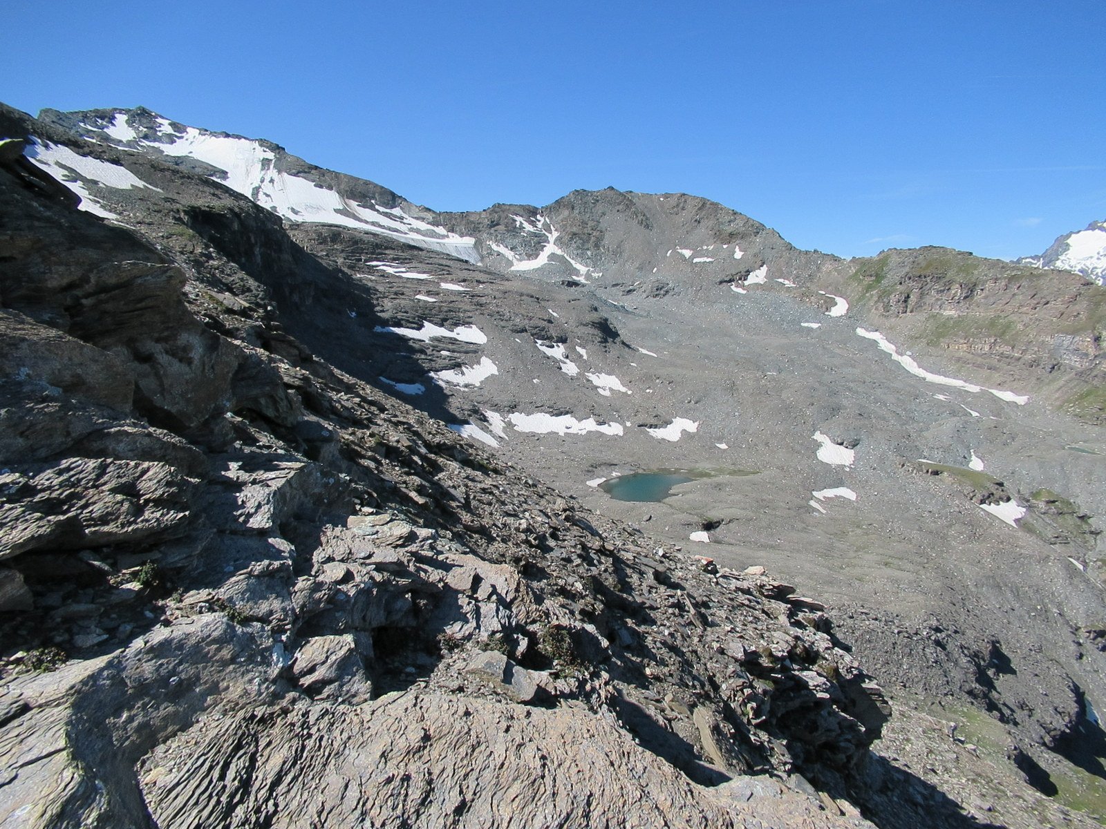
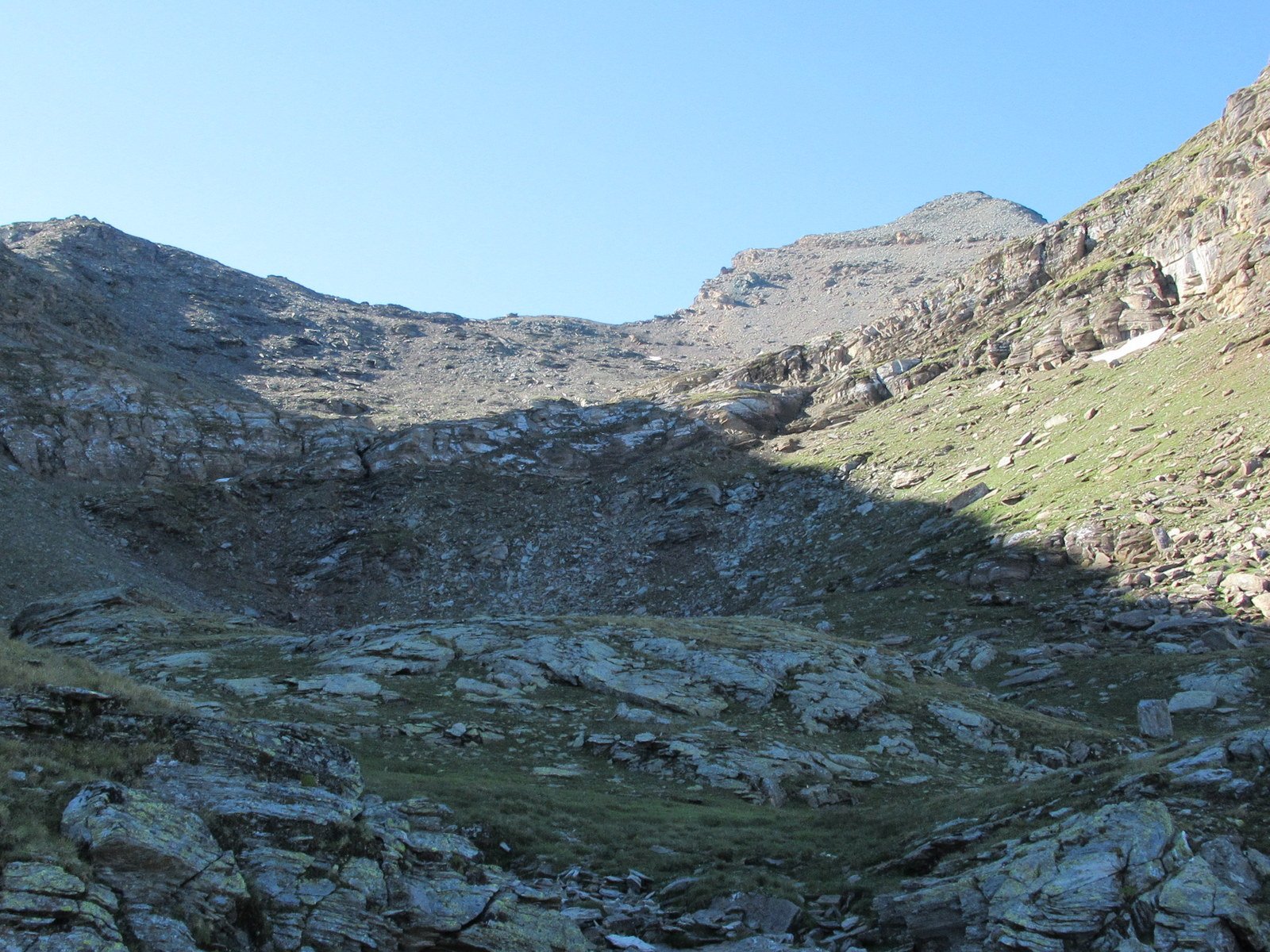
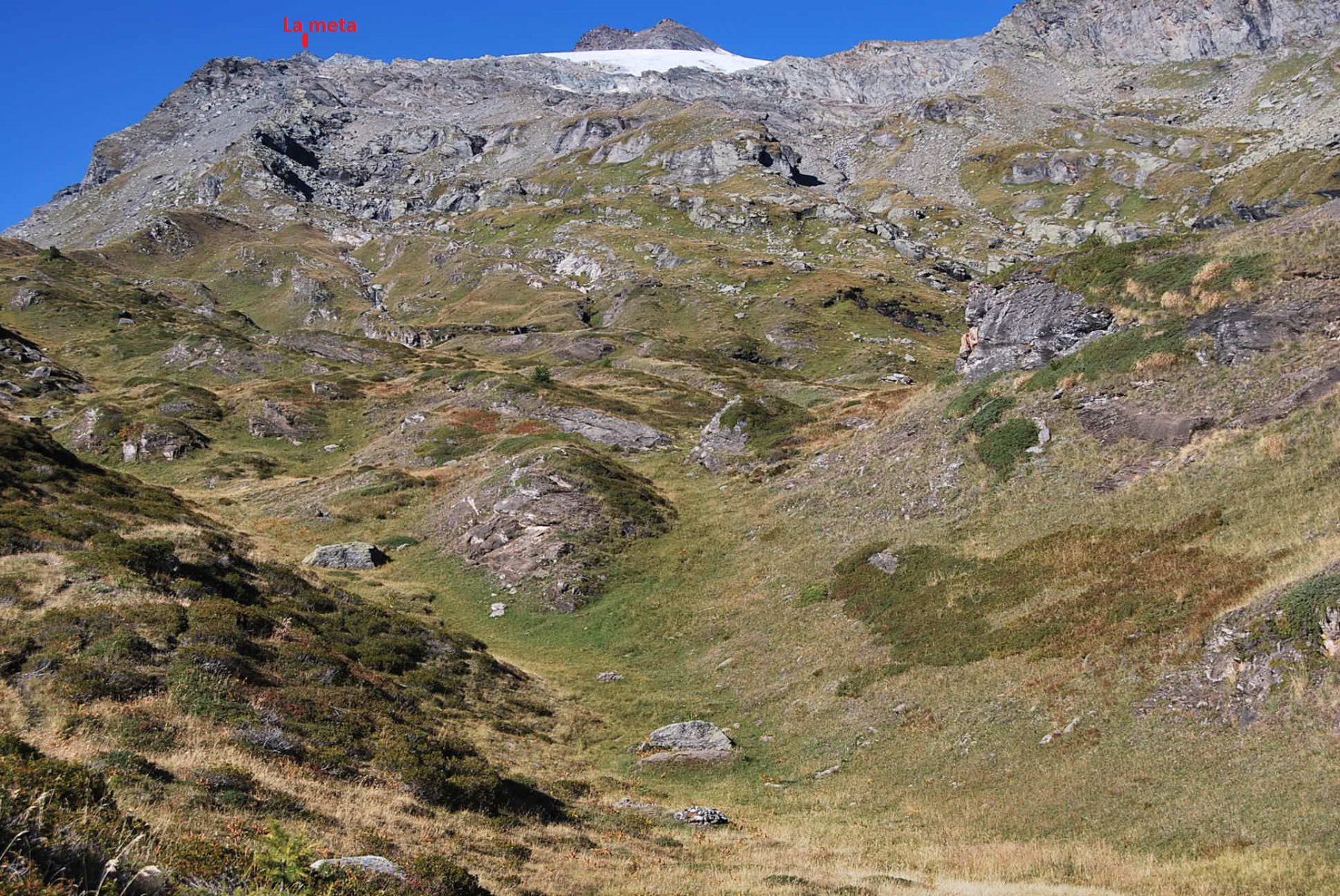
A Boregne si ignora il segnavia 4 (numero sul muro), si attraversano le baite, si attraversa il ruscello e si segue la pista lastricata che porta ad una vasca circondata da uno steccato in legno, presso la quale corre una pista. Ora il percorso non è più segnato ed occorre procedere un po’ a tentativi: sla via di salita prevede comunque che si debba risalire il pendio solcato dal torrente (di cui si nota la cascata sullo sfondo) fino a sbarcare sul pianoro sovrastante, lasciandosi sempre alla propria destra la bastionata rocciosa della Becca di Verconey.
Come suggerimento: presso la vasca seguire la pista, prima di arrivare ad un tratto acquitrinoso e presso gli ultimi pini si può imboccare la traccia di sentiero (in realtà sono molteplici) che parte sulla destra (collocato un ometto). Sempre abbastanza evidente, la traccia sale nel bosco, puntando a destra; sembra anche uscire dal solco del vallone scavalcando la cresta che scende dalla Becca di Verconey, in realtà si incontrano anche tracce che poi salgono stando sotto la parete rocciosa.
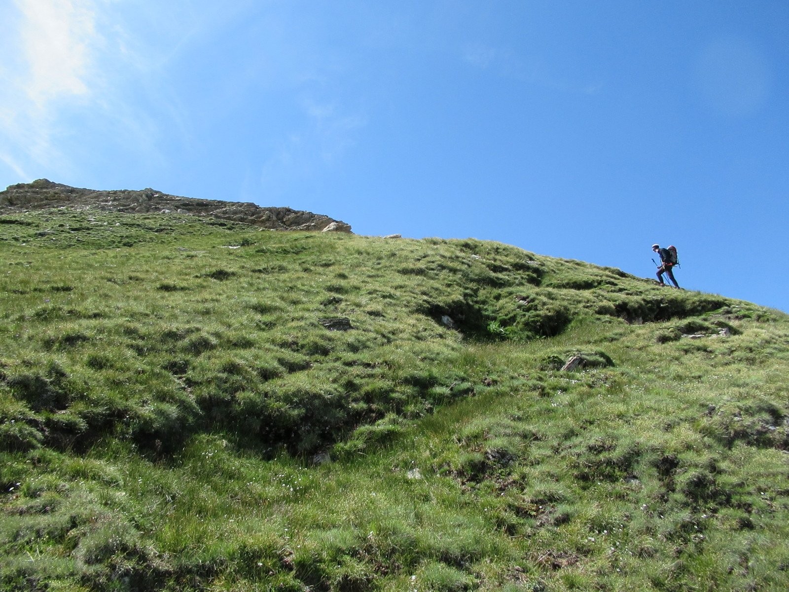
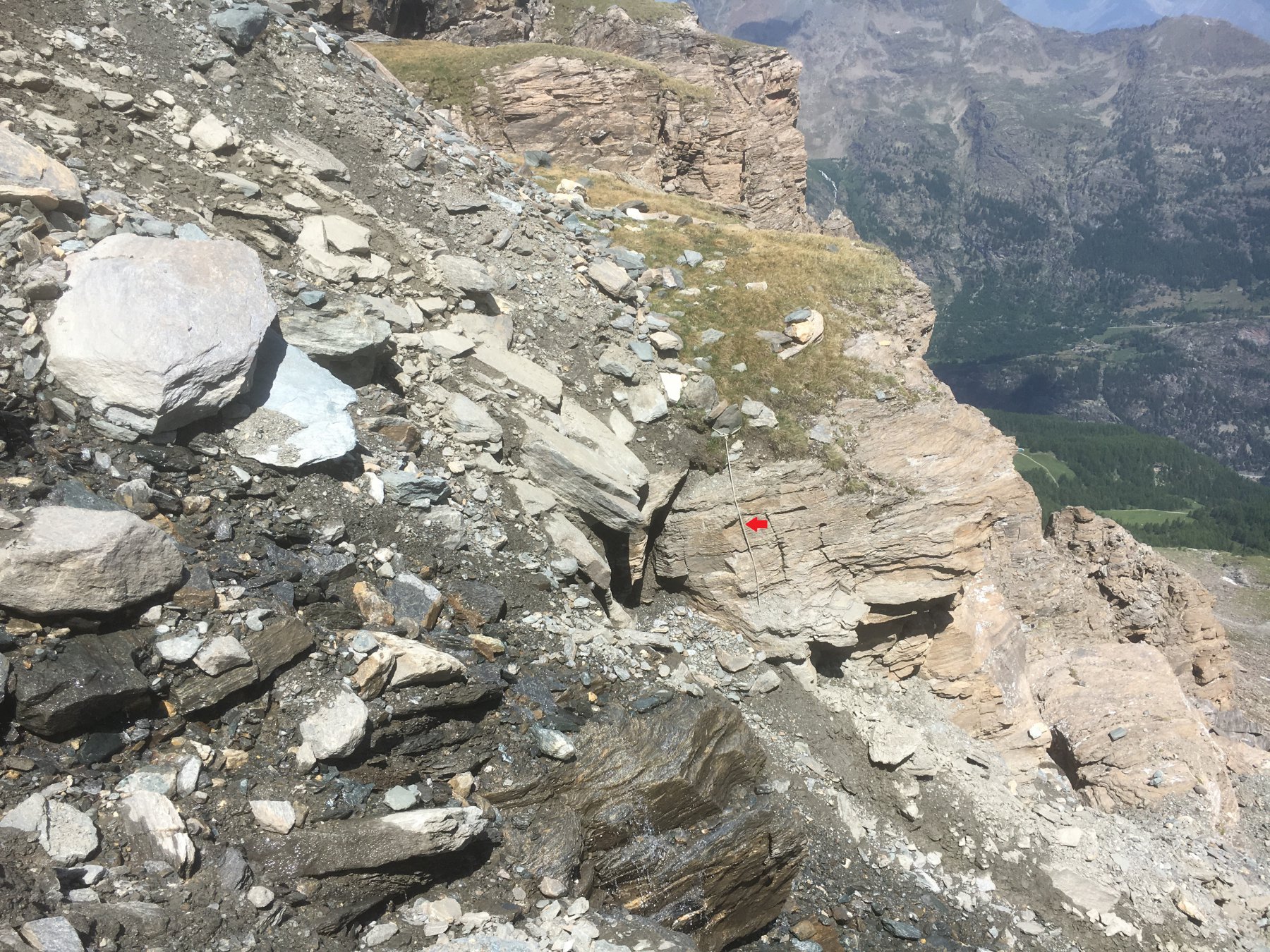
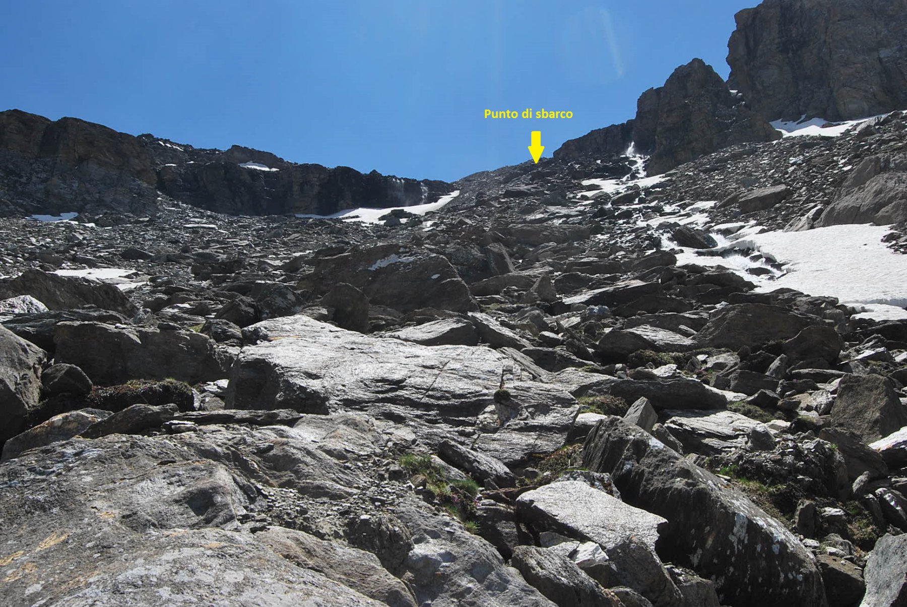
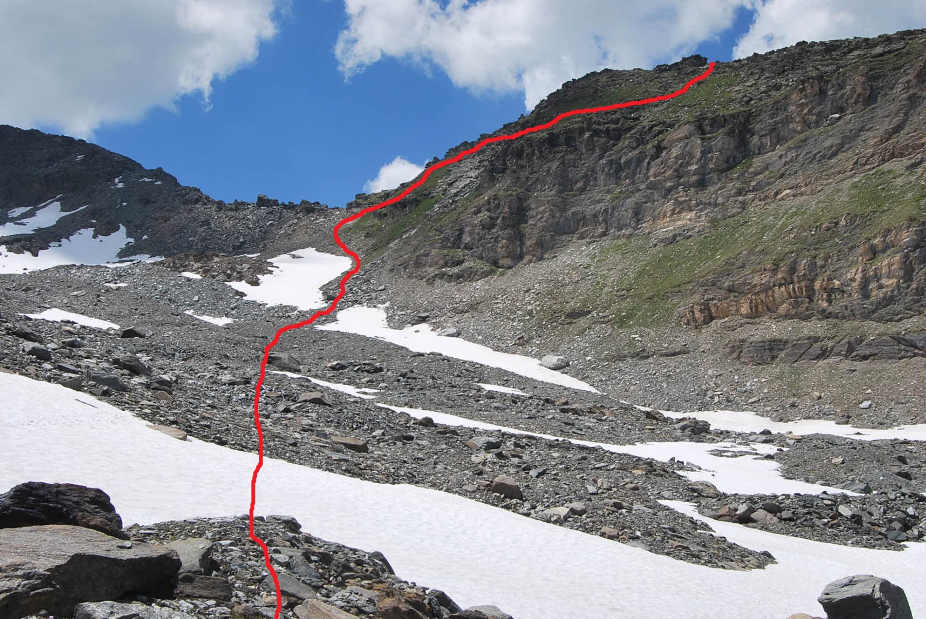
Risalire sempre il pendio, il terreno da erboso diventa via via più detritico; si arriva ad incrociare il torrente e lungo questo occorre risalire l’ultima rampa, la più faticosa e fatta di detriti e sassi instabili, che porta allo sbarco sul sovrastante pianoro (presso il punto di sbarco c’è anche una corda).
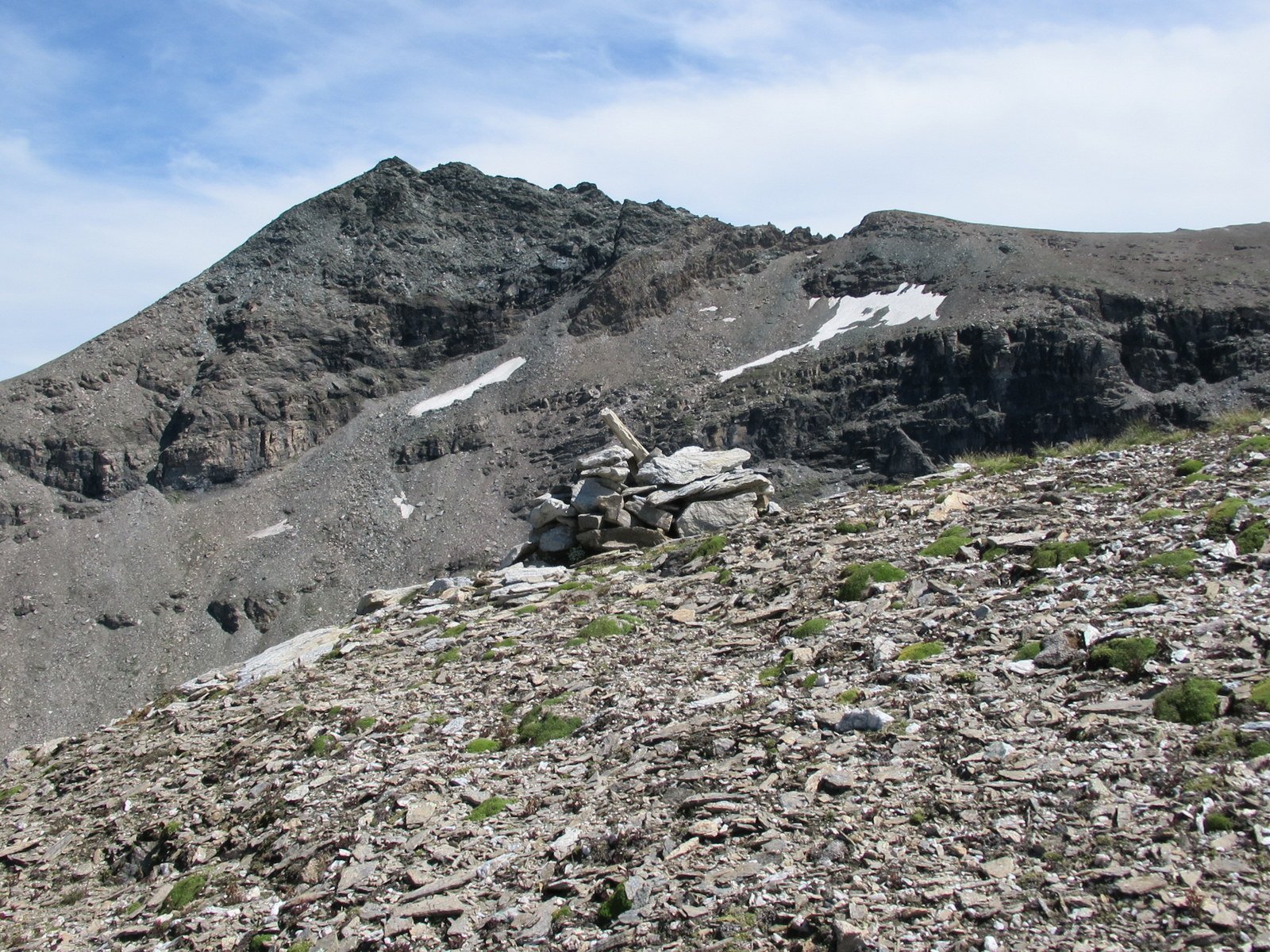
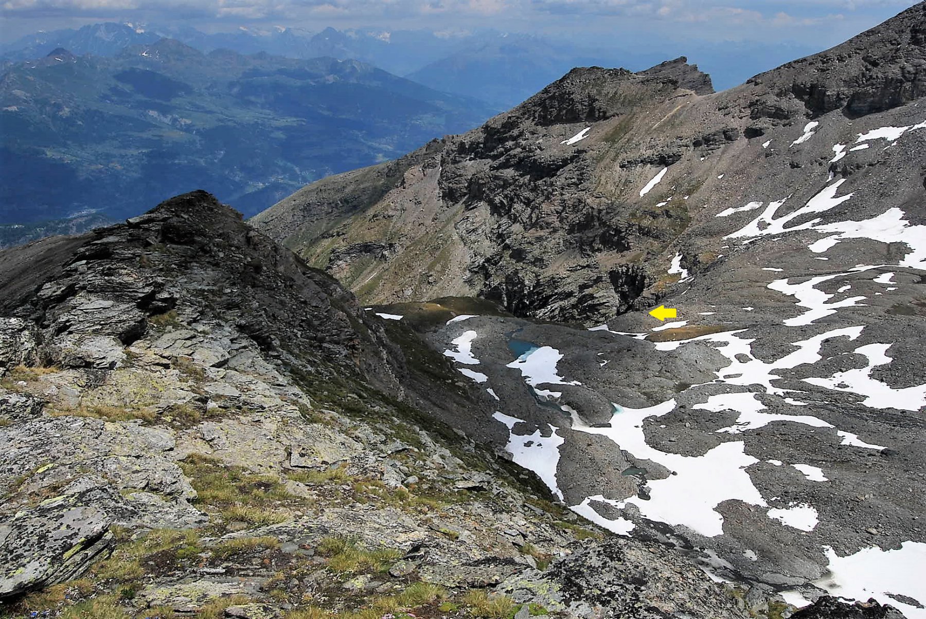
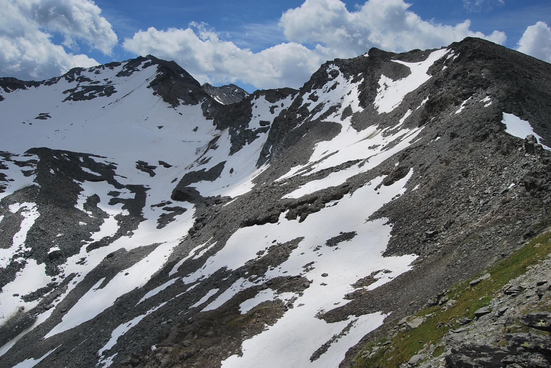
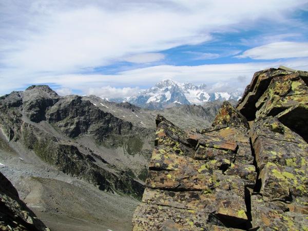
Dal pianoro il percorso è ormai evidente: senza percorso definito si punta in direzione del colletto a sud della vetta, quando si è in prossimità di questo (non occorre raggiungerlo, la cresta non è percorribile) piegare a destra sulle zolle erbose, risalire in cresta e sconfinare leggermente sul versante opposto dove vi sono larghi cengioni: la cresta, larga e piatta, non ha una vera sommità, e lungo queste cenge si raggiungono i due punti più elevati.
Ritorno lungo lo stesso percorso di salita
- Cartografia:
- Carta L’Escursionista: n. 3) Valgrisenche-Val di Rhemes, scala 1:25000
Nelle vicinanze Mappa
Itinerari
10/07/2021 AO, Valgrisenche D+ 1636 m EE Nord-Ovest
Grand Revers da Revers per Boregne
 50m
50m
11/08/2018 AO, Valgrisenche D+ 1771 m EE/F Varie
Tos (Becca di) da Revers, anello per Maison Forte e Plantèe
 50m
50m
22/08/2016 AO, Arvier D+ 1478 m EE Nord-Est
Cornet (Monte) da Planaval per Plan Petet e Becca Cèrè
 1.1Km
1.1Km
14/10/2025 AO, Valgrisenche D+ 871 m EE Nord
Céré (Becca di) da Planaval
 1.1Km
1.1Km
21/08/2024 AO, Arvier D+ 2400 m EE Tutte
Planaval, Crosatie, Passo Alto (Colli) da Planaval, giro del Monte Paramont
 2.1Km
2.1Km
11/09/2025 AO, Arvier D+ 1300 m E Sud
Crosatie (Punta e Col de la) da Planaval
 2.1Km
2.1Km
26/08/2017 AO, Avise D+ 1159 m EE Varie
Orfeuille (Mont) da Planaval
 2.1Km
2.1Km
26/07/2025 AO, Arvier D+ 952 m EE Sud
Tour Ronde da la Clusaz
 2.1Km
2.1Km
14/08/2017 AO, Arvier D+ 1155 m EE Sud-Est
Paramont (Col de) da la Planaval
 2.1Km
2.1Km
15/08/2022 AO, Arvier D+ 1379 m EEA Sud-Est
Planaval (Passo di) da Planaval
 2.1Km
2.1Km