2.6Km
2.6Km
Note
 2.6Km
2.6Km
2.6Km
2.6Km
4.1Km
4.1Km
4.1Km
4.1Km
2.6Km
2.6Km
2.6Km
2.6Km
4.1Km
4.1Km
4.1Km
4.1Km
2.6Km
3.9Km
4Km
4.1Km
5.5Km
7.6Km
7.8Km
7.8Km
9.1Km
9.1Km
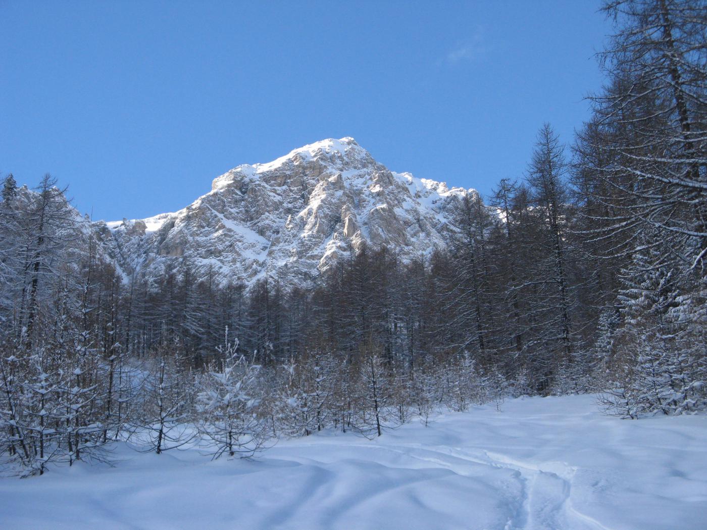
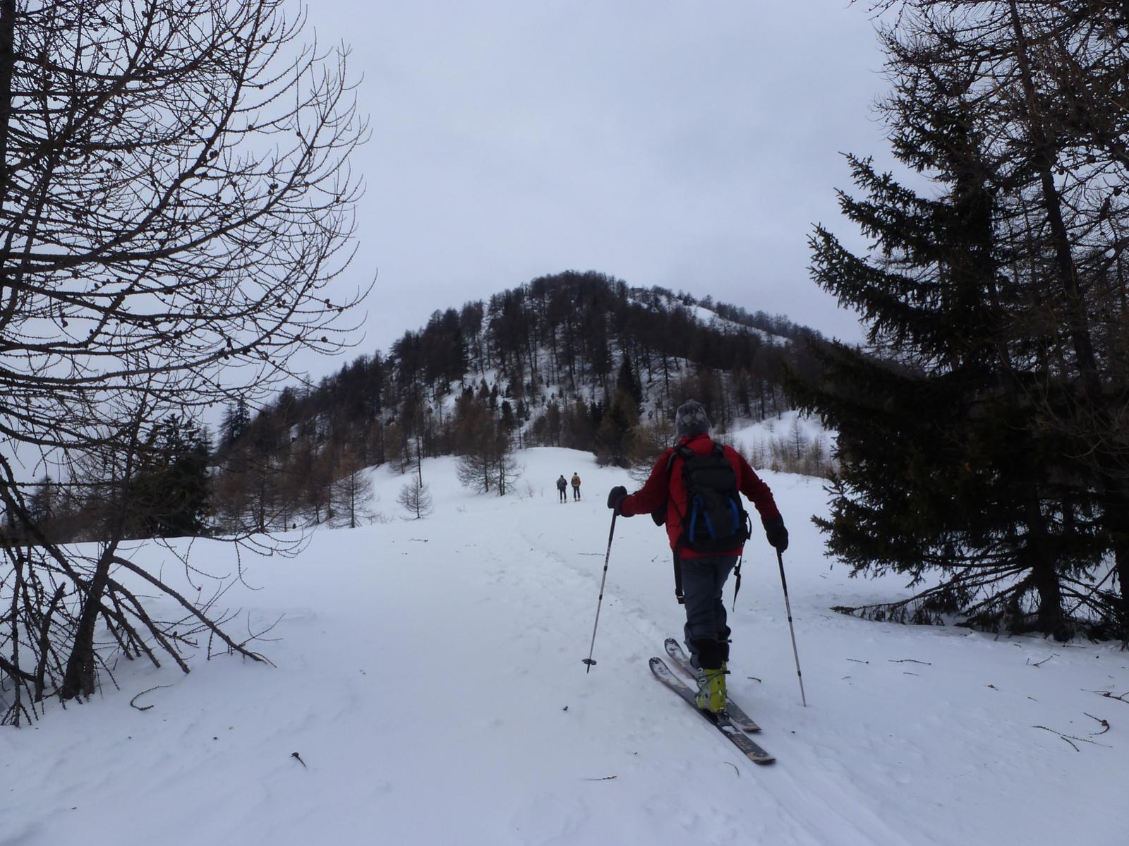
Itinerario invernale, con sensibile dislivello, che richiede buon innevamento anche a bassa quota.
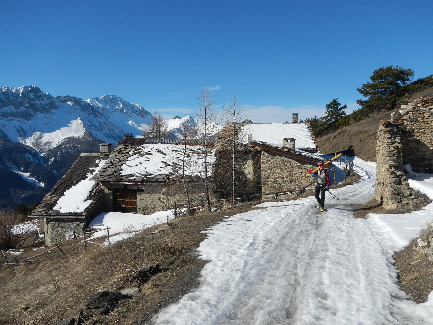
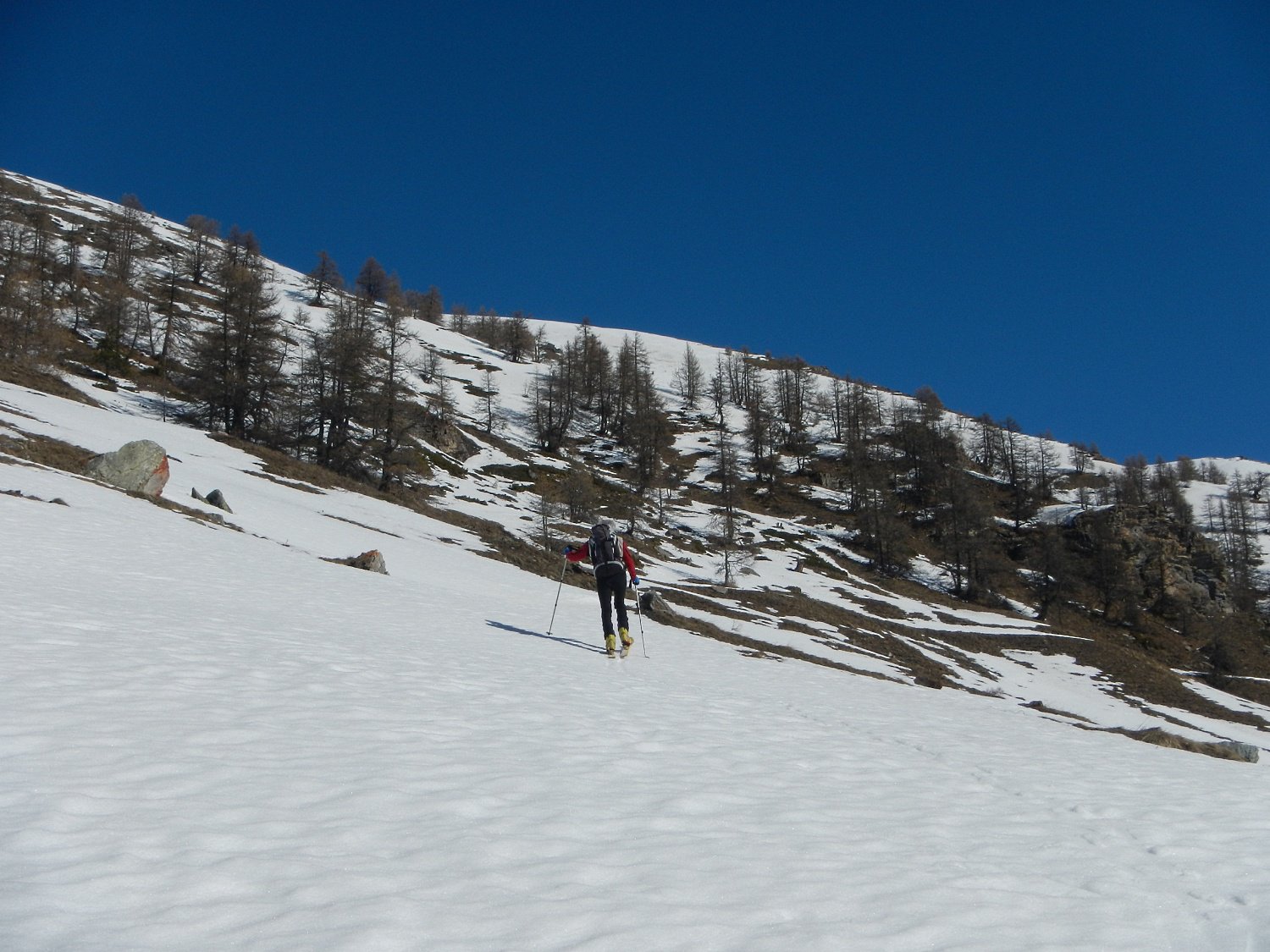
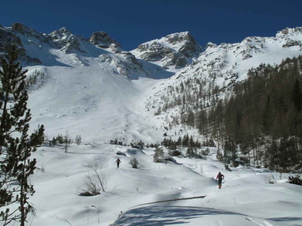
Il lungo tratto su sterrato che sale a Piccou, sono 626 m. di dislivello, può essere abbreviato grazie a una mulattiera che taglia la maggior parte dei tornanti.
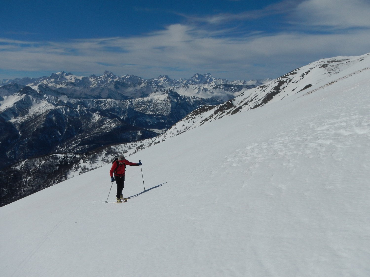
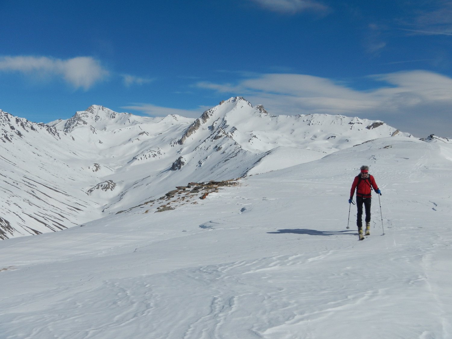
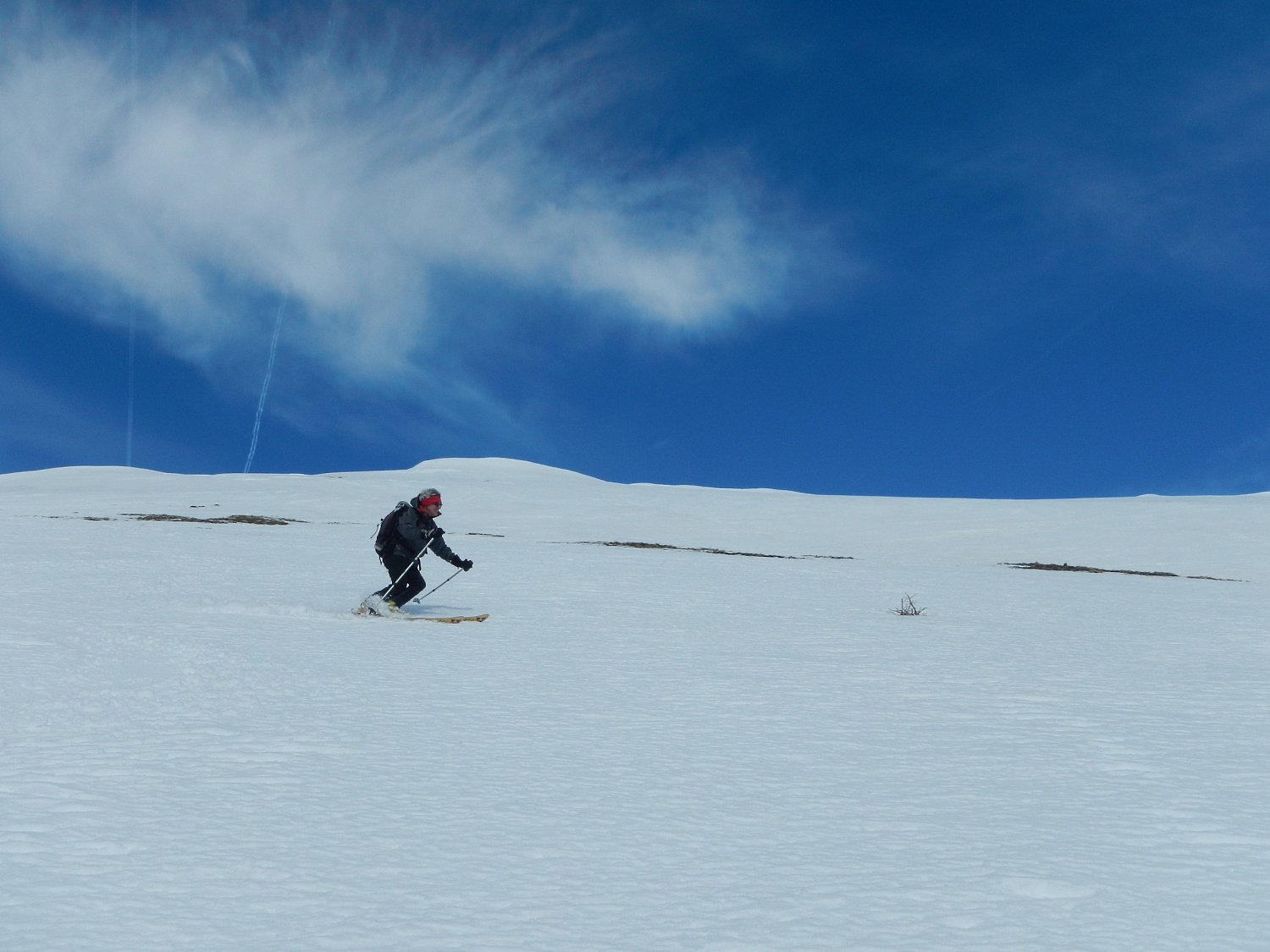
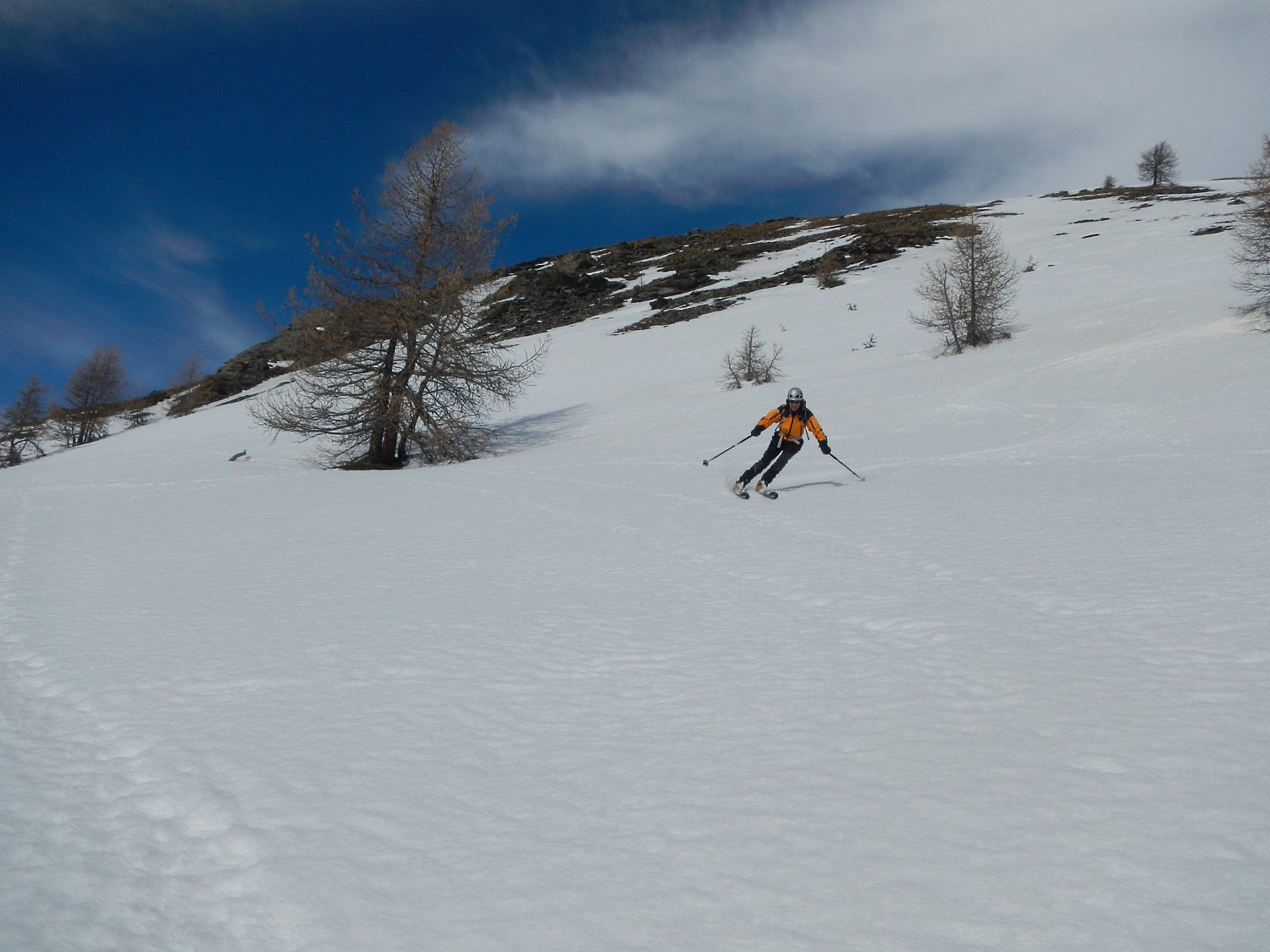
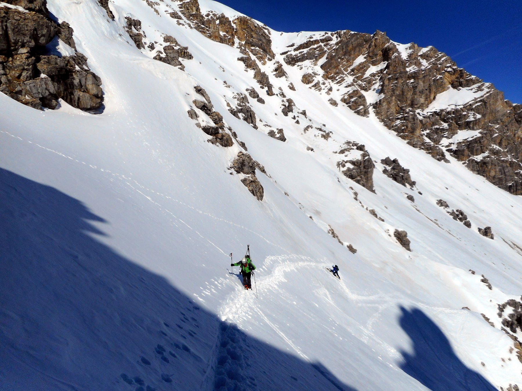
La parte alta del percorso, molto bella, richiede, per alcuni tratti sostenuti, neve sicura.
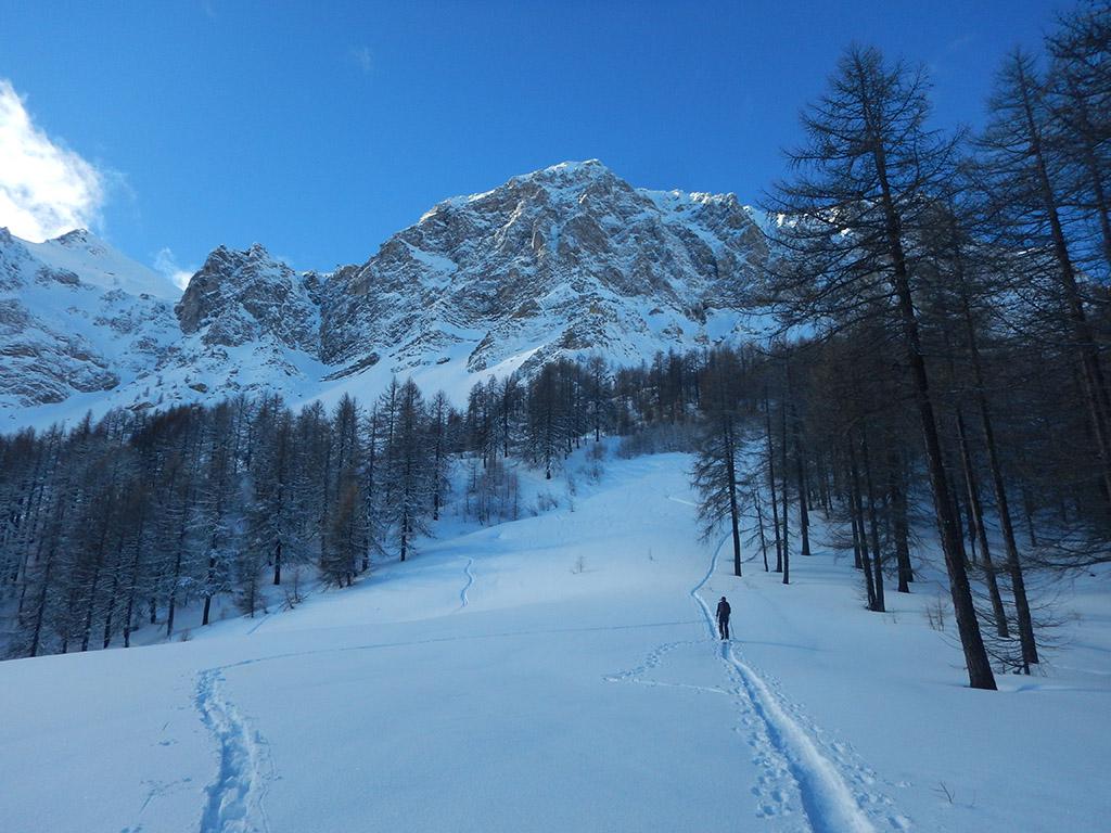
Avvicinamento
Il lungo tratto su sterrato che sale a Piccou, sono 626 m. di dislivello, può essere abbreviato grazie a una mulattiera che taglia la maggior parte dei tornanti.
La parte alta del percorso, molto bella, richiede, per alcuni tratti sostenuti, neve sicura.
S.S. 335 per Bardonecchia fino all'altezza di Savoulx
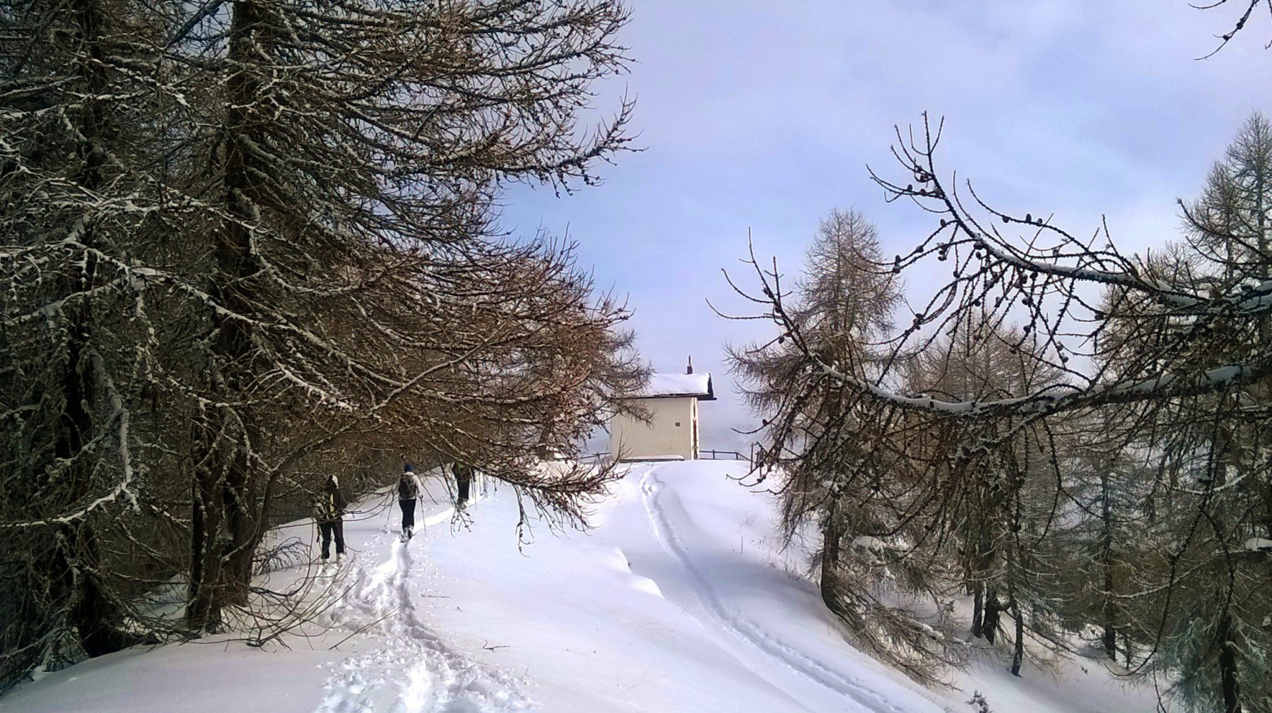
Descrizione
Da Clots si procede sullo sterrato fino ad incontrare la mulattiera che, con percorso più diretto e passando vicino alla Cappella di S. Antonio 1500 m., raggiunge Piccou.
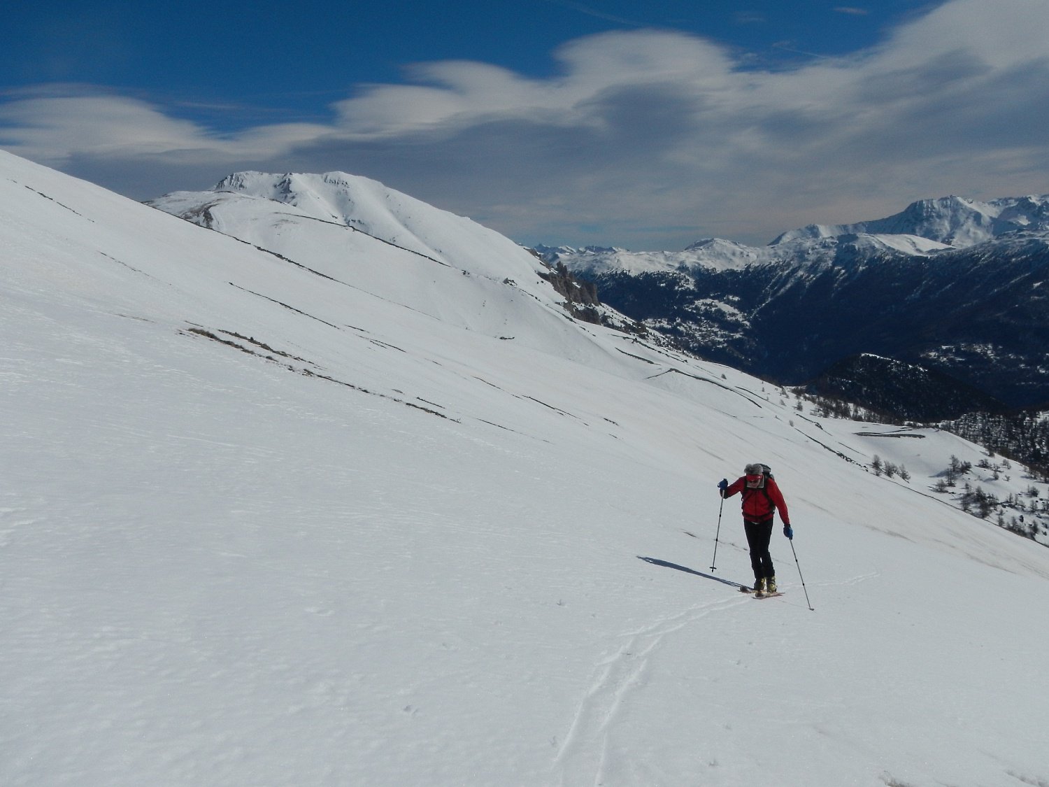
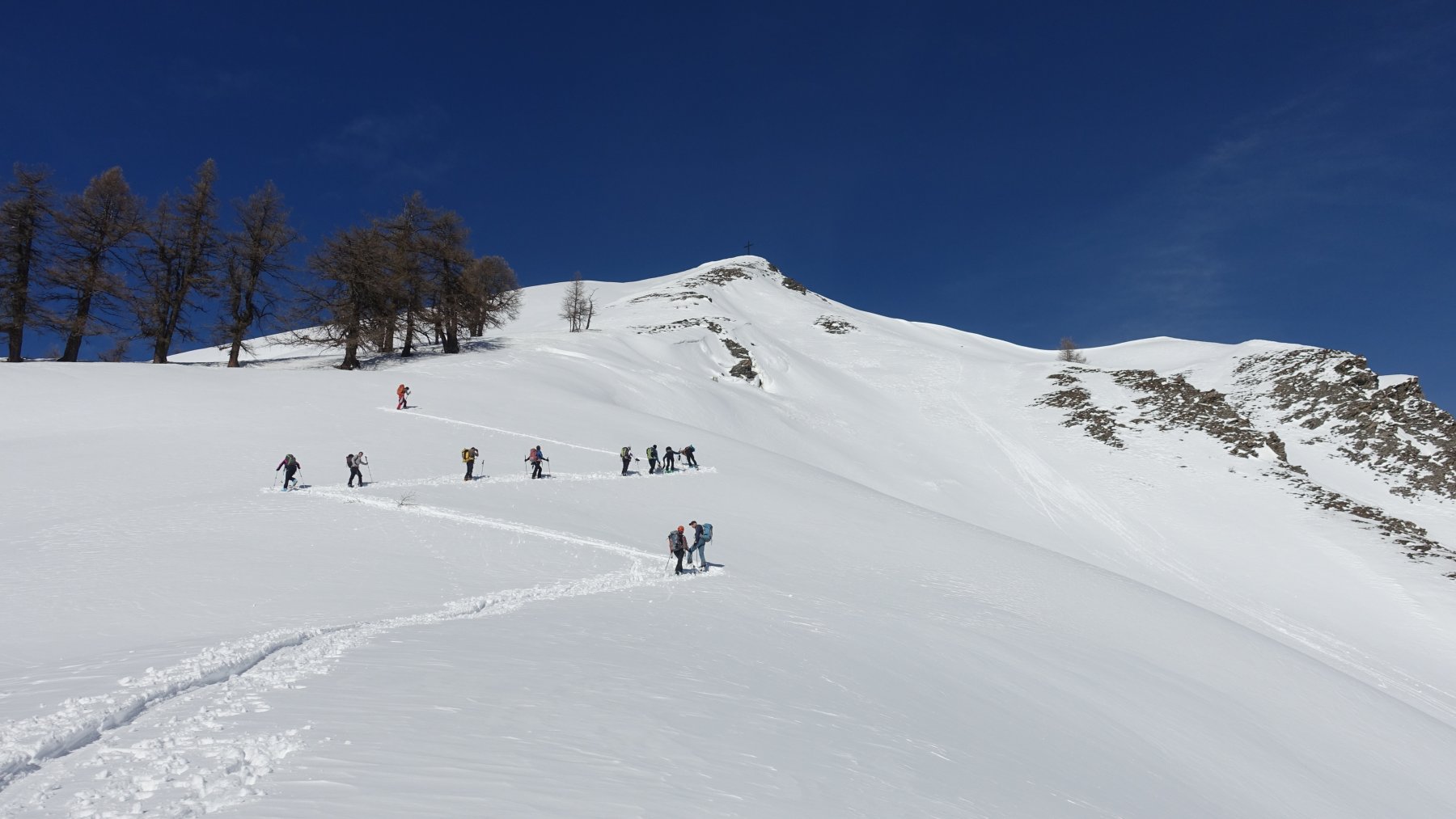
Da qui, su pendii via via più aperti, si raggiunge Gouthier o la Roche e si prosegue fino ad incontrare e superare la strada che collega il forte del Foens con la galleria dei Saraceni.
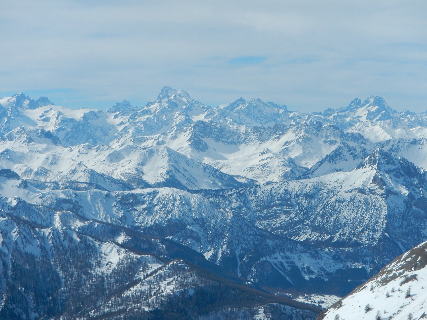
Si raggiunge la spalla posta ad est della punta che, con alcuni tratti più sostenuti, permette di raggiungere con leggera direzione nord ovest, la dorsale che divide la vallata valsusina dalla Valfredda, e in breve si raggiunge la cima.
- Cartografia:
- IGC Valli di Susa Chisone e Germanasca
- Bibliografia:
- Dalle Marittime al Vallese SUCAI Torino n. 50
Nelle vicinanze Mappa
Itinerari
29/12/2025 TO, Oulx D+ 1401 m BS Sud
Vin Vert (Monte) da Savoulx
50m
17/02/2021 TO, Oulx D+ 1500 m BS Varie
Desertes (Passo) da Chateau Beaulard, giro della Punta Clotesse
 2.6Km
2.6Km
20/02/2025 TO, Oulx D+ 1338 m BS Nord-Est
Gros Vallon (Punta) da Chateau Beaulard per la Canala
 2.6Km
2.6Km
31/01/2026 TO, Oulx D+ 840 m BS Nord
Garde (Rocher de la) da Chateau Beaulard
 2.6Km
2.6Km
24/03/2026 TO, Oulx D+ 1504 m OSA Nord-Est
Clotesse (Punta) da Chateau Beaulard
 2.6Km
2.6Km
27/12/2003 TO, Oulx D+ 800 m BS Ovest
Desertes (Passo) da Vazon
4Km
03/02/2019 TO, Oulx D+ 1000 m MS Varie
Madonna del Cotolivier (Cappella) da Oulx, traversata a Beaulard
 4.1Km
4.1Km
21/02/2026 TO, Oulx D+ 931 m MS Nord
Madonna del Cotolivier (Cappella) da Beaulard
 4.1Km
4.1Km
18/12/2022 TO, Oulx D+ 1238 m MS Nord
San Giuseppe (Croce) da Beaulard
 4.1Km
4.1Km
26/12/2025 TO, Oulx D+ 956 m MS Nord
Beaulard quota 2100 m (ex piste) da Beaulard
 4.1Km
4.1Km
Servizi
2.6Km
3.9Km
Dell’Orsa Bar
Oulx
4Km
La Chardouse Rifugio
Oulx
4.1Km
Guido Rey Rifugio
Oulx
5.5Km
La Moretta Ristorante
Oulx
7.6Km
L’Cantun B&B
Sauze D'oulx
7.8Km
orto del frate Ristorante
Sauze d'Oulx
7.8Km
paddy mc ginty Ristorante
Sauze d'Oulx
9.1Km
Aquila Nera Ristorante
Bardonecchia
9.1Km