 3Km
3Km
Avvicinamento
 15.2Km
3Km
3.3Km
3.3Km
3.3Km
3.3Km
6.6Km
7.4Km
8Km
8.8Km
8.8Km
Da Cesana proseguire in direzione Claviere, non imboccare la nuova galleria ma svoltare a sinistra sulla vecchia strada.
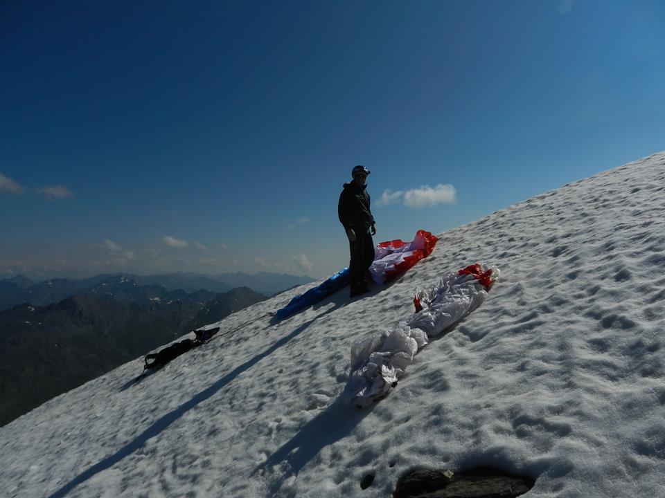
Descrizione
Tra le gallerie imboccare il sentiero per batteria alta.
Raggiunta Batteria Alta proseguire nel Petit Vallon uscendo sulla cresta di destra (salendo).
Ci sono alcune zone erbose con piccole pietre circa 50 metri sotto la cresta. Decollo tecnico per la pendenza abbastanza accentuata.
Proseguire il volo in direzione di Cesana, Atterraggio vicino alle casermette se il vento di valle permette di raggiungerle, se si è “corti” atterrare all’inizio del paese in un prato abbastanza ampio tra le anse della statale sopraelevata che esce da Cesana in direzione Claviere.
Vedi traccia GPS.
Nelle vicinanze Mappa
Itinerari
11/03/2014 TO, Cesana torinese Sud-Est
Gallerie di Claviere
400m
31/10/2016 Hautes-Alpes, Montgenèvre D+ 1786 m Sud-Est
Chaberton (Monte) Volo su Cesana Torinese
2.6Km
08/08/2014 TO, Cesana Torinese D+ 908 m Sud-Est
Cresta Nera Volo su Cesana
2.8Km
30/12/2016 TO, Cesana Torinese D+ 700 m Tutte
Bosco (Cima del) da Thures
10.4Km
18/08/2014 Hautes-Alpes, Abriès-Ristolas D+ 1150 m Sud
Terra Nera (Monte) da Rhuilles per Cima Dormillouse e Monte Virandatour
14Km
21/07/2013 TO, Sauze di Cesana D+ 1400 m Nord-Ovest
Ramière (Punta) o Bric Froid da Argentera
 15.2Km
14/08/2016 TO, Bardonecchia D+ 1200 m Ovest
Sommeiller (Punta)
22.5Km
Servizi
3Km
3.3Km
Casa Cesana Bar
Cesana Torinese
3.3Km
L’Ibarus Rifugio
Cesana Torinese
3.3Km
Piergiorgio Frassati B&B
Cesana Torinese
3.3Km
Ottima Scelta Ristorante
Cesana Torinese
6.6Km
Centro Ristorante
Cesana Torinese
7.4Km
La Fontana del Thures Rifugio
Cesana Torinese
8Km
La vachette Bar
Montgenèvre
8.8Km
La Crota B&B
Cesana Torinese
8.8Km
