250m
250m
Avvicinamento
 50m
1.4Km
1.4Km
1.4Km
1.6Km
1.6Km
1.6Km
3.7Km
50m
1.4Km
1.4Km
1.4Km
1.6Km
1.6Km
1.6Km
3.7Km
250m
1.6Km
1.6Km
1.8Km
3.6Km
5.4Km
5.6Km
5.6Km
6.6Km
6.8Km
Da Cuneo, seguire per la Val Maira, Caraglio, Dronero, Stroppo
Morinesio.
Descrizione
Morinesio.
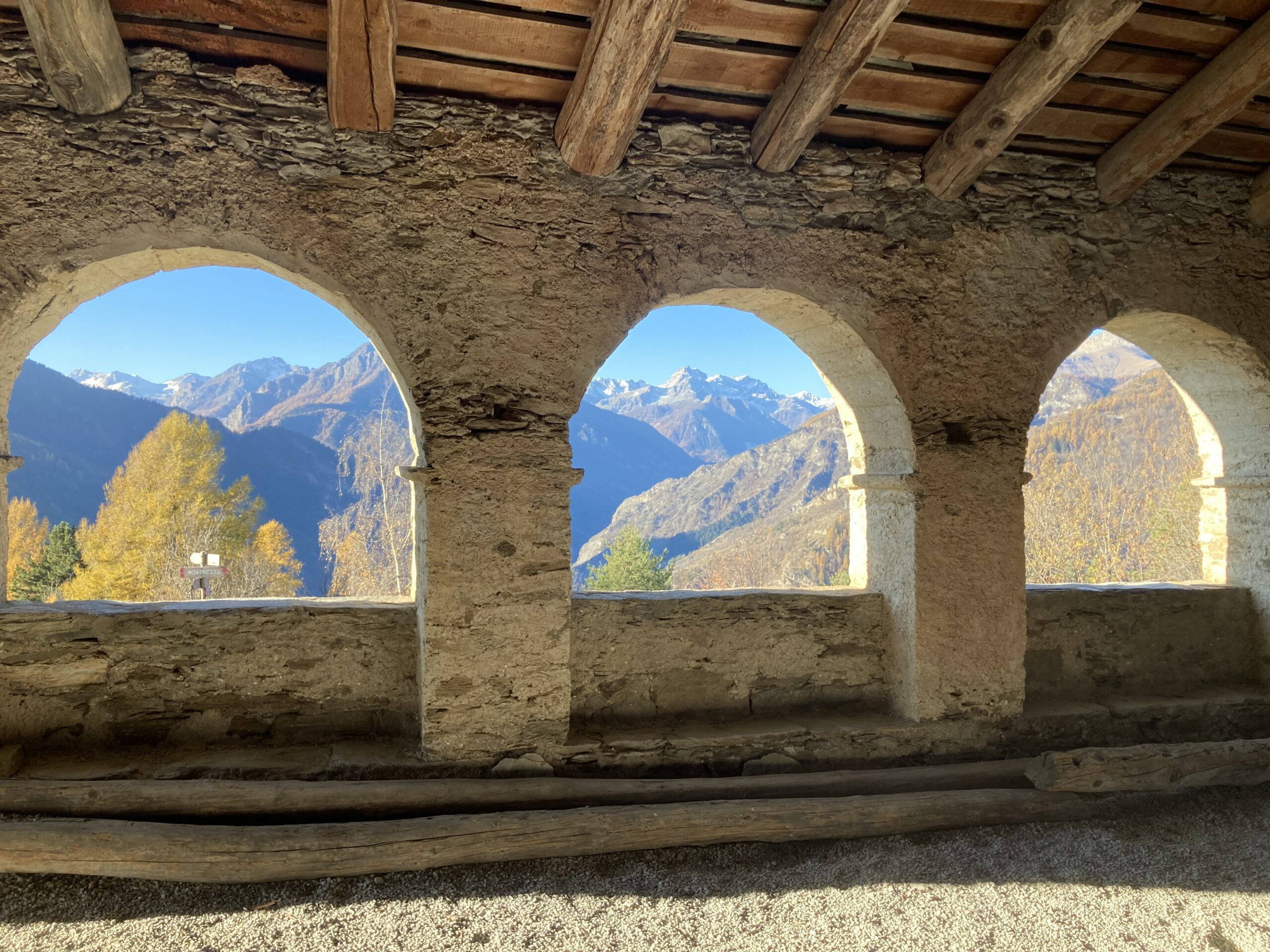
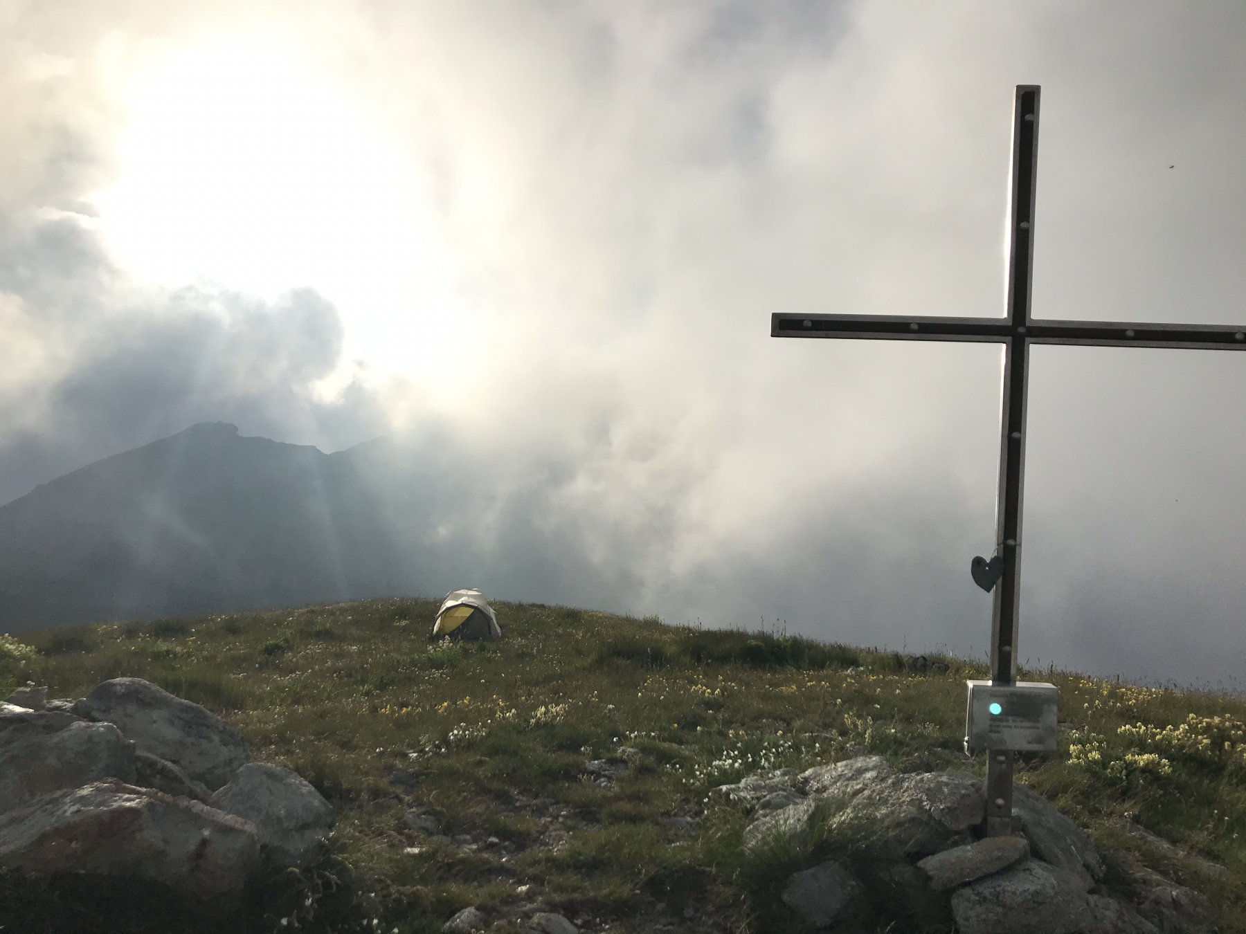
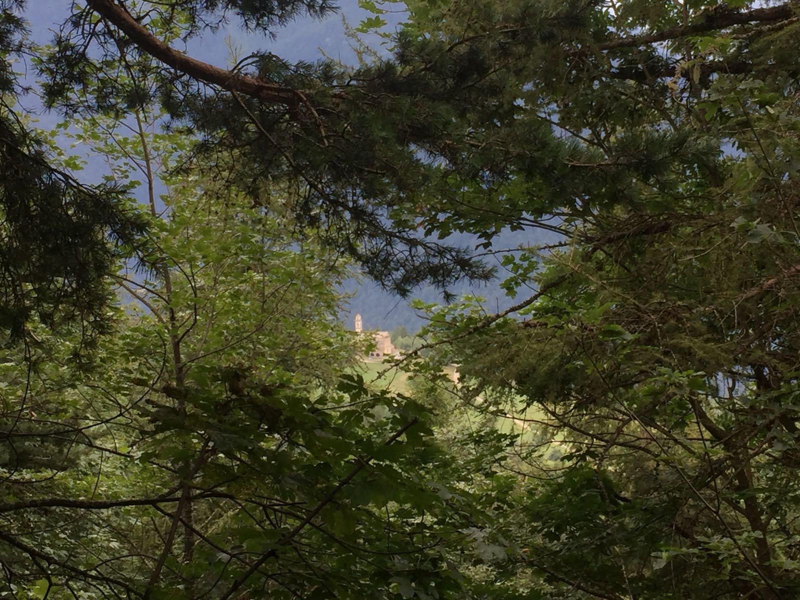
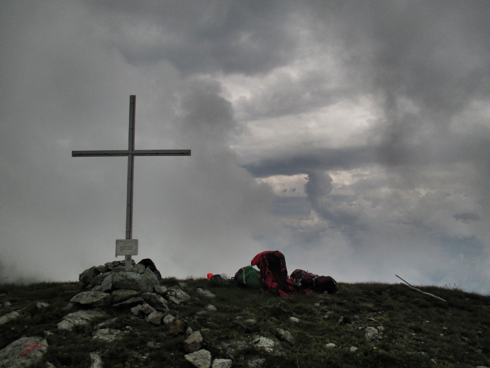
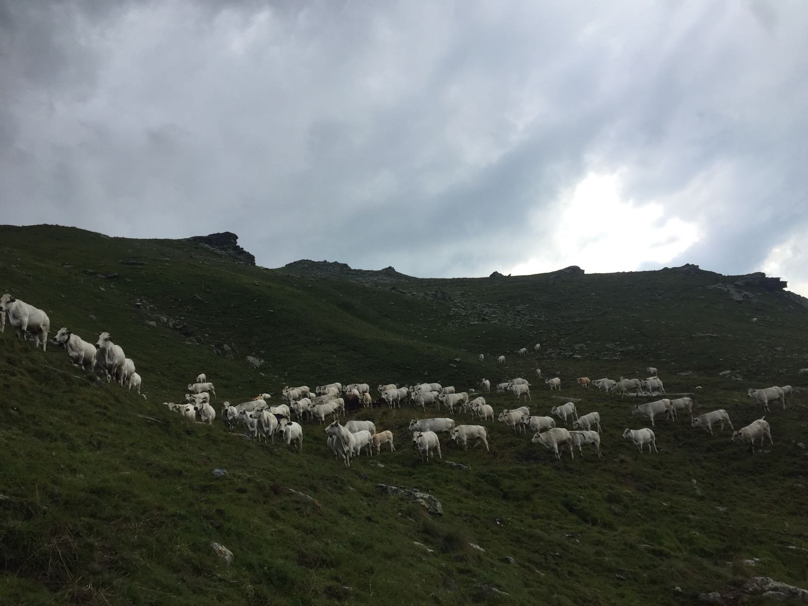
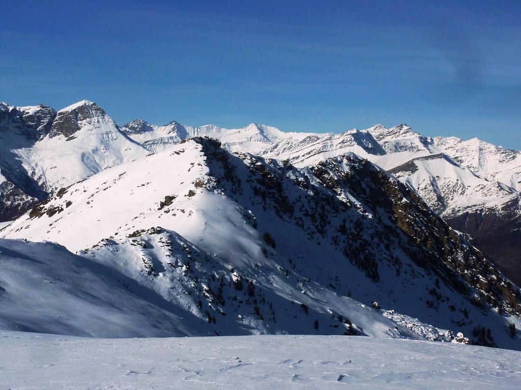
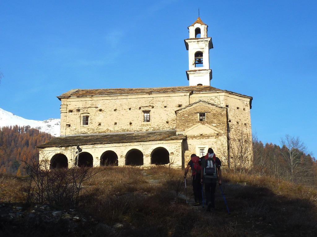
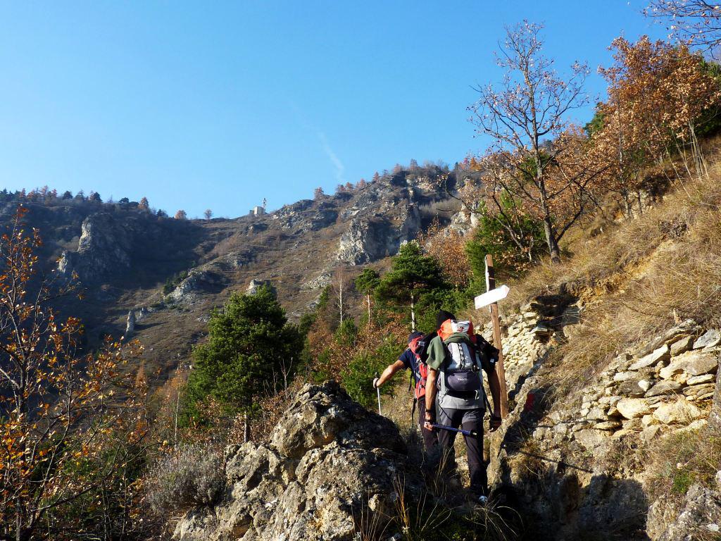
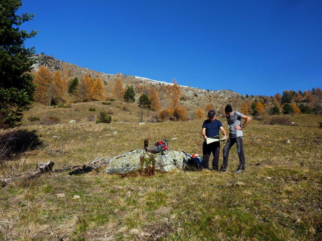
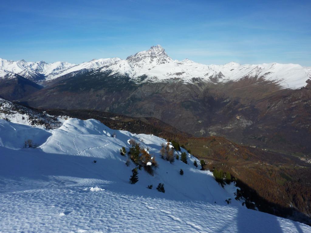
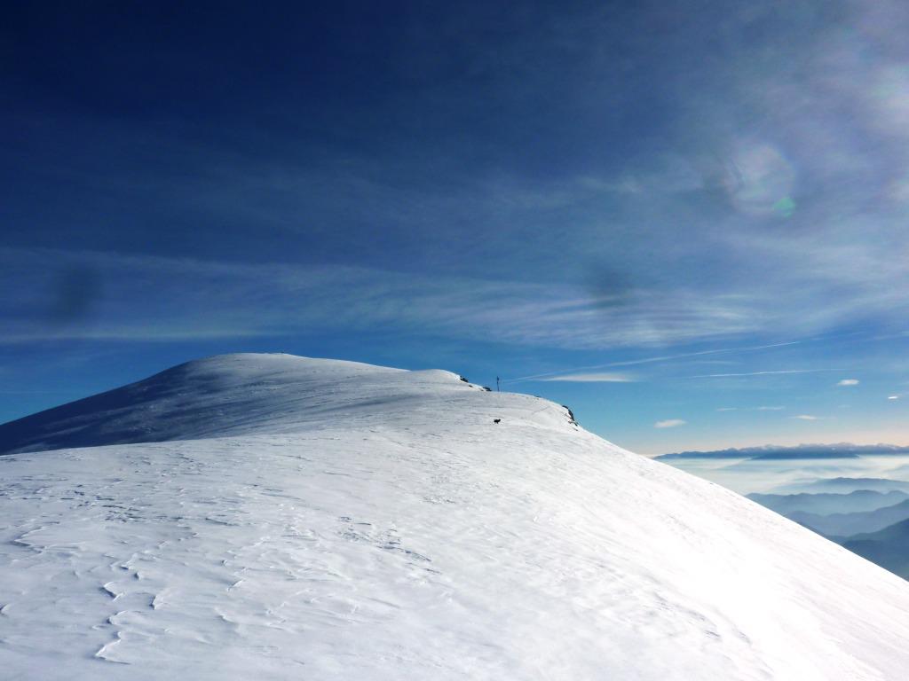
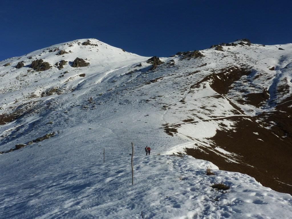
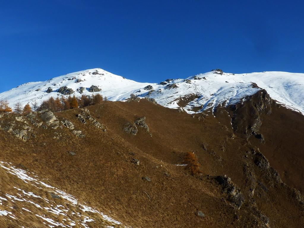
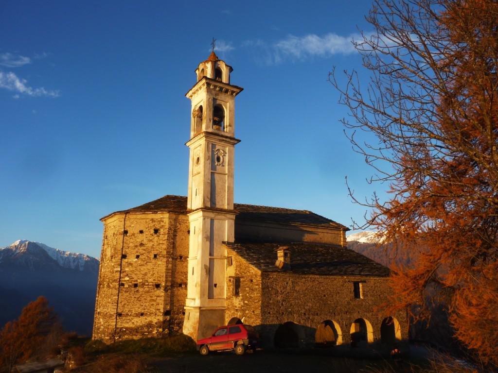
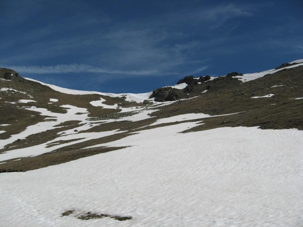
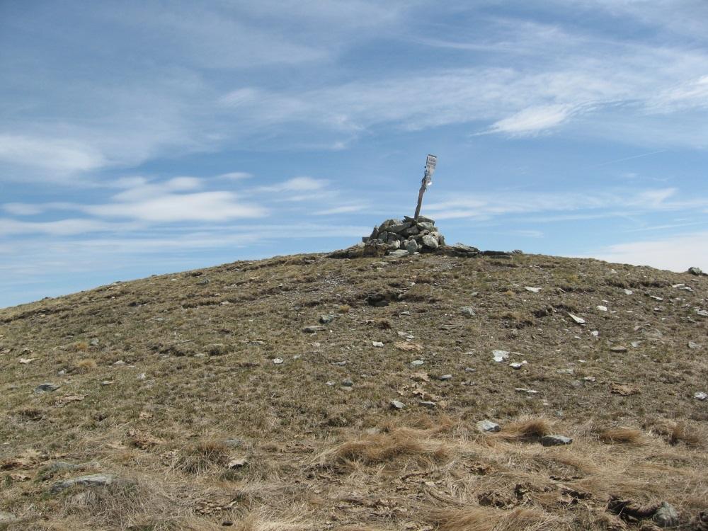
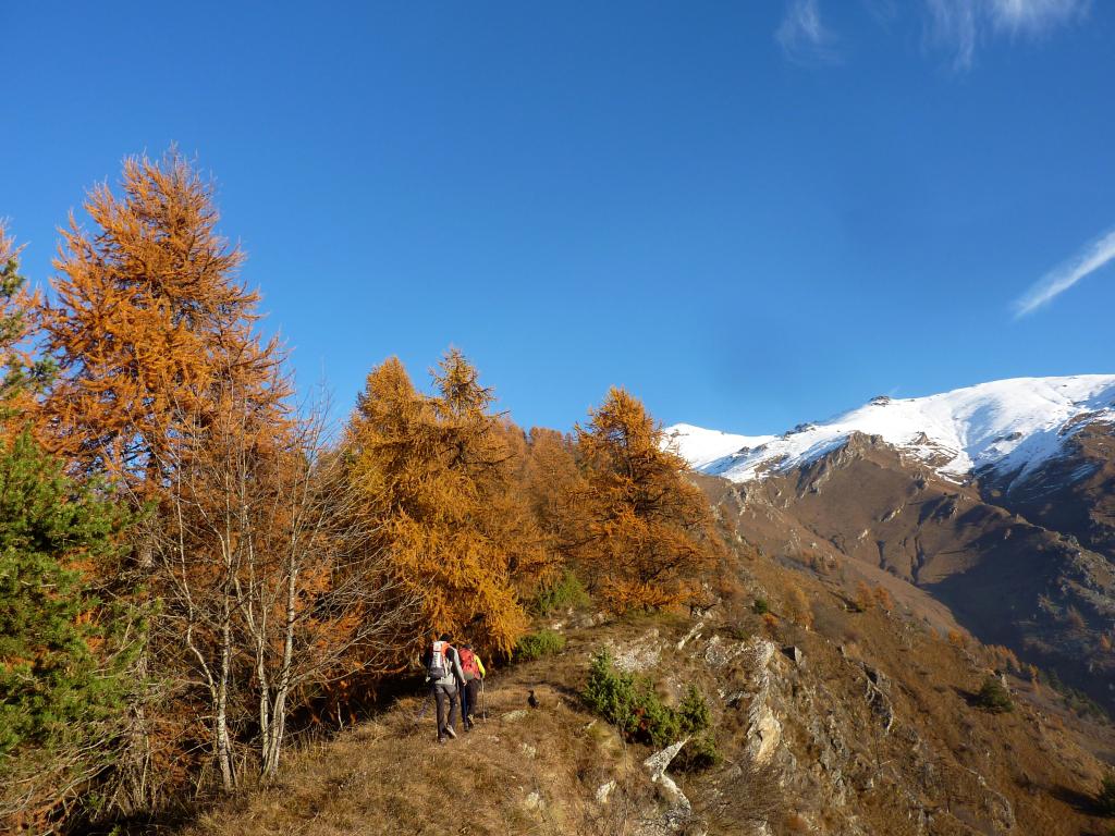
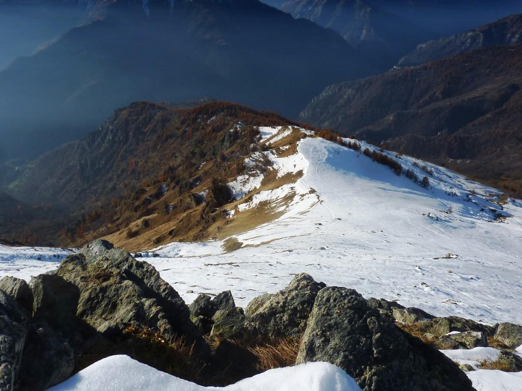
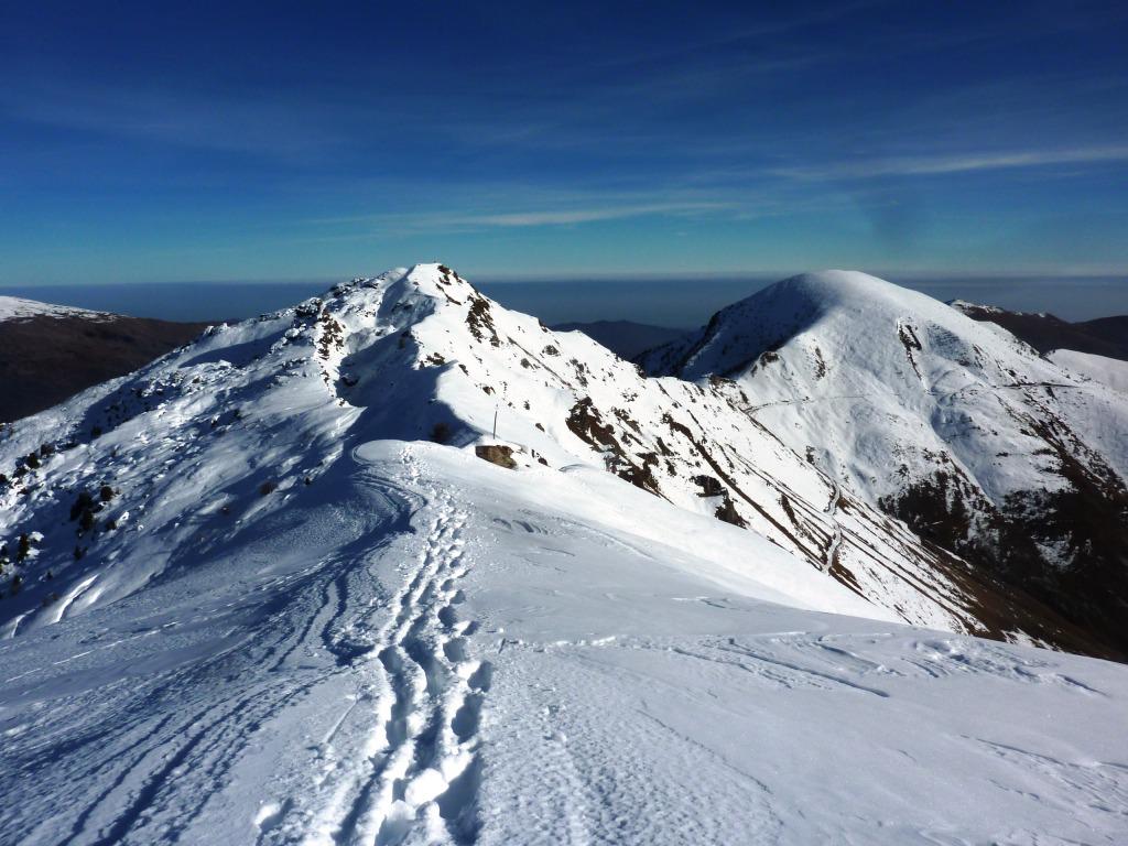
Da Morinesio prendere a destra la strada sterrata fino al Santuario di S.Maria di Morinesio (500 metri circa). Si parcheggia l’auto e da qui si prosegue verso N/E in direzione della Costa dei Passetti per facile cresta fino alla famosa Strada dei Cannoni (circa 1h,20 dalla partenza). Superata la strada, si sale ora dritti a Nord in direzione della Bassa di Rasis e poi verso destra per il Monte Cugulet (2h,50 circa dalla partenza). Dal Monte Cugulet, guardando verso Est ora appaiono sia la Cima Lubin (che si raggiunge in altri 40 minuti circa) che il più alto Monte Rastciàs. Per il ritorno, è consigliabile recuperare la Strada dei Cannoni dal colle tra le due cime appena fatte e ritornare alla cresta di salita.
- Cartografia:
- IGC 111 della Valle Maira
Nelle vicinanze Mappa
Itinerari
17/05/2026 CN, Stroppo D+ 1250 m EE Sud-Ovest
Nebin (Monte) e Monte Cugulet da Morinesio per la Bassa di Rasis o di Rocciaset
 50m
50m
27/06/2024 CN, Stroppo D+ 831 m E Sud
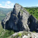
Bettone (Monte) da Paschero e il Monte Betunet
 1.4Km
1.4Km
24/11/2024 CN, Stroppo D+ 400 m E Sud
Diavolo (Grotta del) da Paschero, anello
 1.4Km
1.4Km
06/12/2007 CN, Stroppo D+ 781 m E Tutte
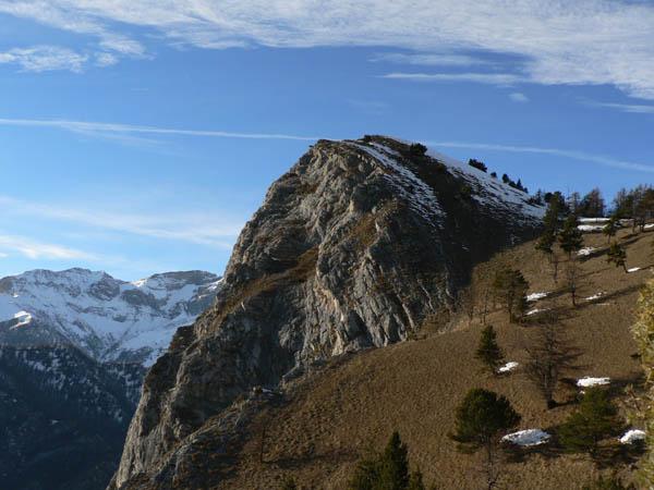
Bettone (Colle) da Paschero, anello
 1.4Km
1.4Km
05/07/2026 CN, Stroppo D+ 900 m E Sud
Cavallina (Colle della) da Paschero, anello per Elva
1.4Km
13/06/2021 CN, Stroppo D+ 1600 m E Sud
Nebin (Monte) da Stroppo
 1.6Km
1.6Km
25/04/2017 CN, Stroppo D+ 950 m E Varie
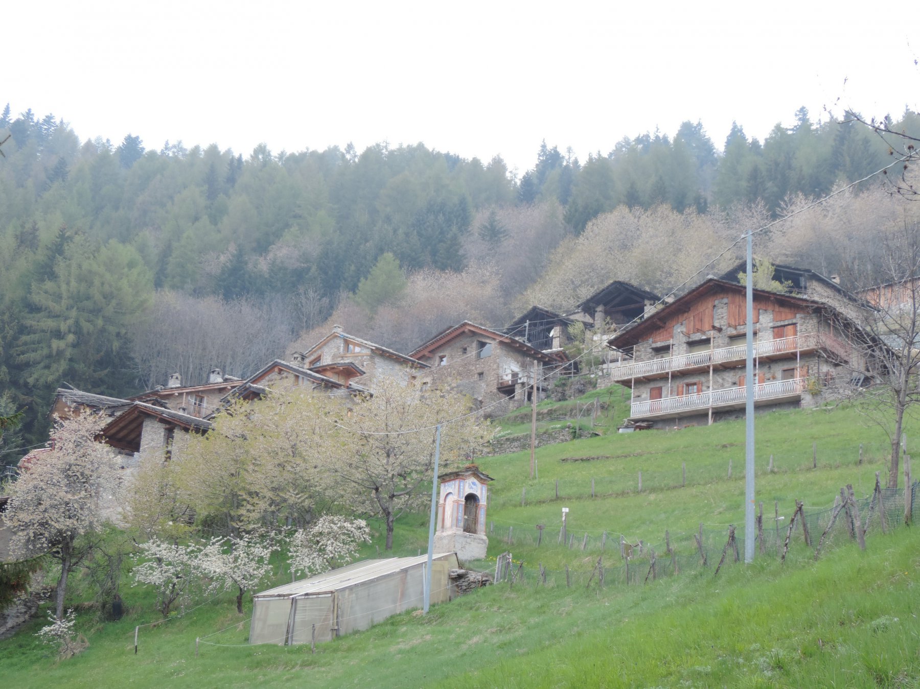
Encucetta (Colle) da Stroppo, anello per Palent
 1.6Km
1.6Km
12/05/2020 CN, Stroppo D+ 1250 m E Nord
Buch (Monte) da Stroppo
 1.6Km
1.6Km
24/03/2022 CN, Stroppo D+ 700 m E Varie
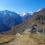
Castello (Cresta del) da Chiampo, anello per Pessa, Aramola e Colletto
 3.7Km
3.7Km
01/06/2014 CN, Sampeyre D+ 350 m E Sud-Est
Morfreid (Monte) dal Colle di Sampeyre
4.2Km
Servizi
250m
1.6Km
Napoleonica Ristorante
Stroppo
1.6Km
I giardini di Provenza Ristorante
Stroppo
1.8Km
La Freidio B&B
Marmora
3.6Km
La sousto du col Rifugio
Elva
5.4Km
Gentil Locanda Ristorante
Marmora
5.6Km
San Pancrazio – Hans Clemer Albergo
Elva
5.6Km
Dei Ciclamini Ristorante
Macra
6.6Km
Locanda Rifugio
Celle di Macra
6.8Km