300m
300m



Note
 50m
50m
400m
400m
400m
1.4Km
1.4Km
3.1Km
4.1Km
50m
50m
400m
400m
400m
1.4Km
1.4Km
3.1Km
4.1Km
300m
300m
450m
1.5Km
3.5Km
4.1Km
5.6Km
6.1Km
6.4Km
6.5Km
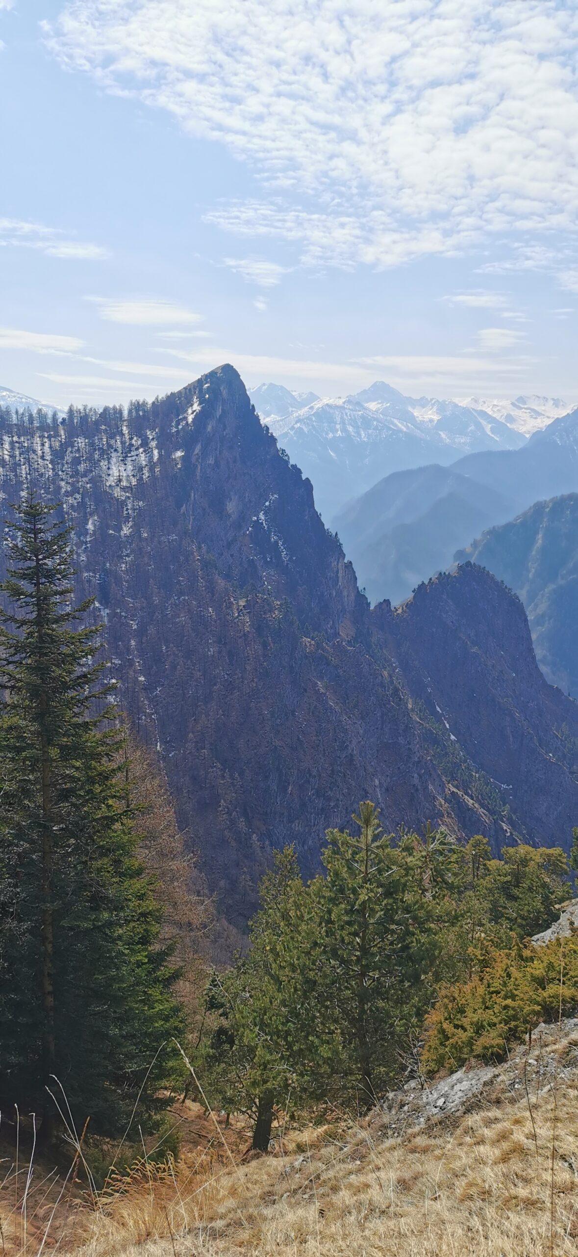
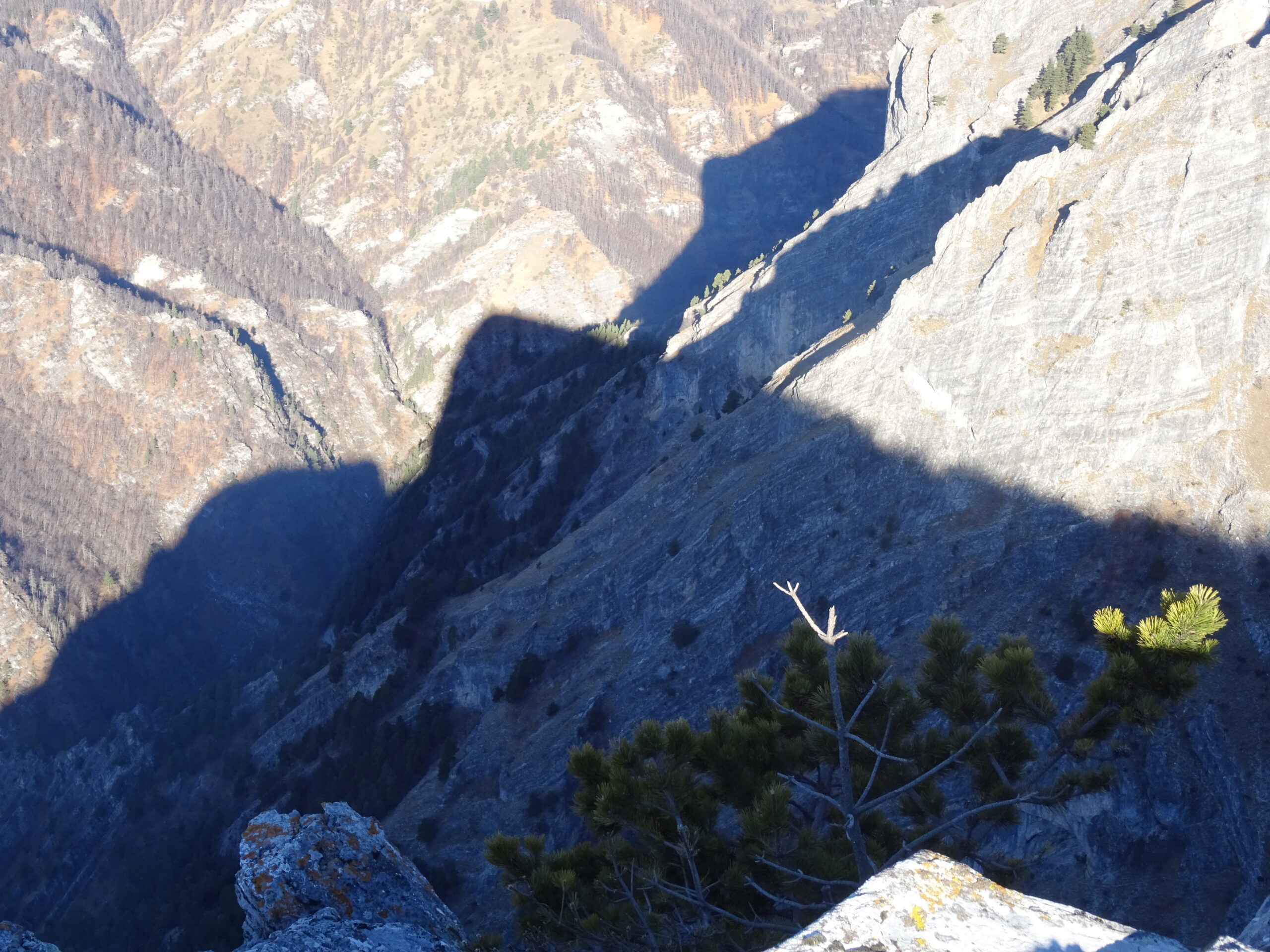
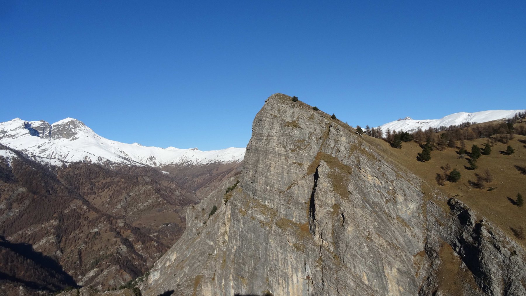
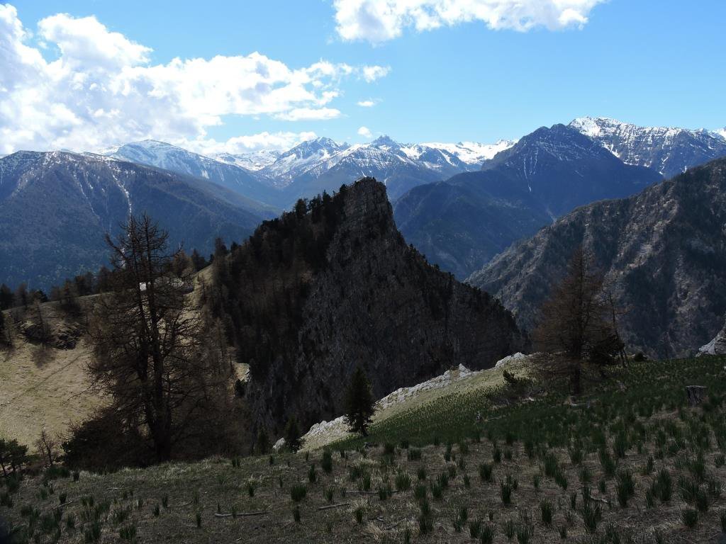
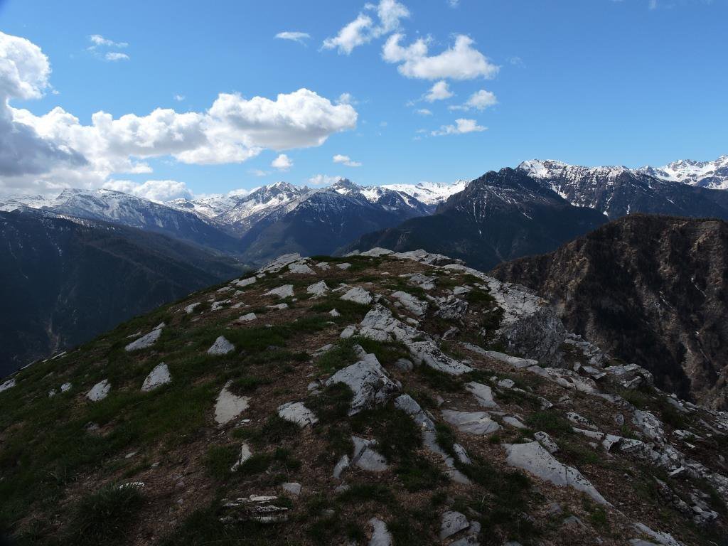
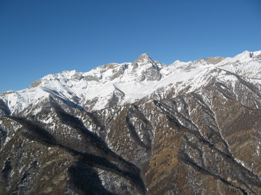
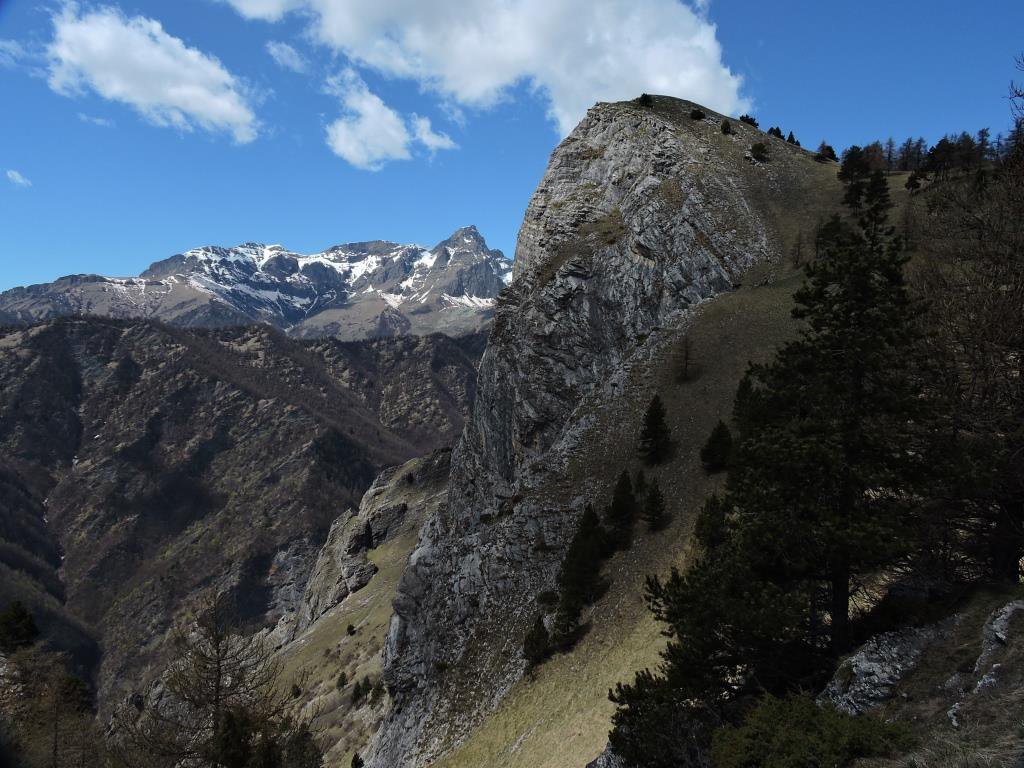
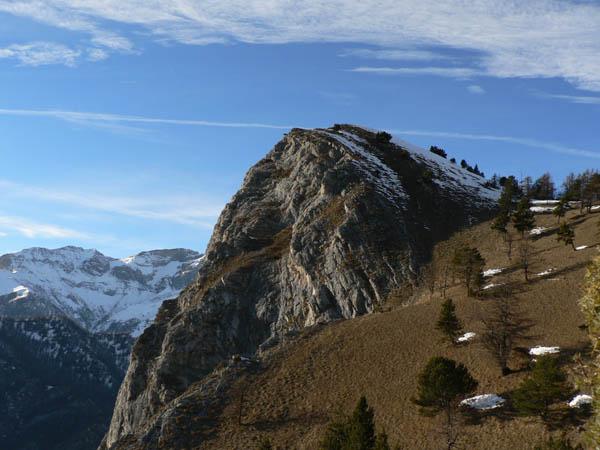
Sono due cime molto vicine poste proprio a picco dell'orrido di Elva, caratterizzate dalle pareti a strapiombo sul lato ovest.
Avvicinamento
Si risale la valle Maira fino ad arrivare poco prima dell'abitato di Bassura ,dove si lascia la provinciale e svoltando a destra si segue la strada per Elva. Arrivati al tornante prima di Paschero si parcheggia l'auto.
Descrizione
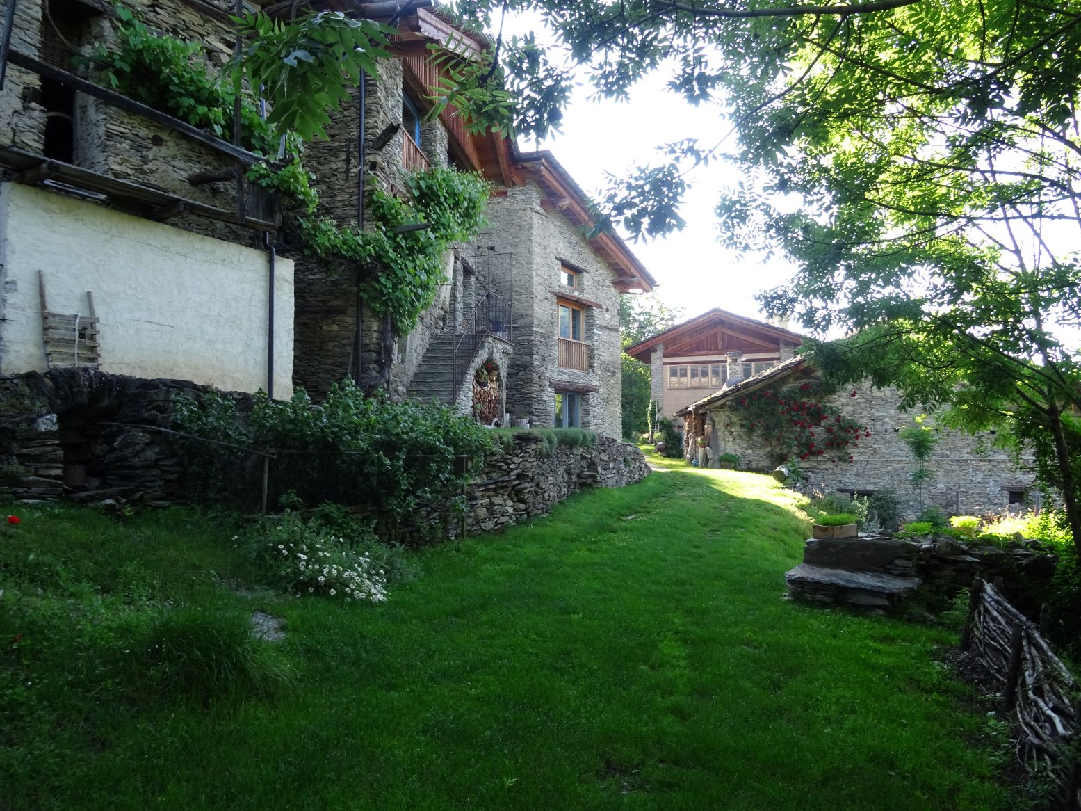
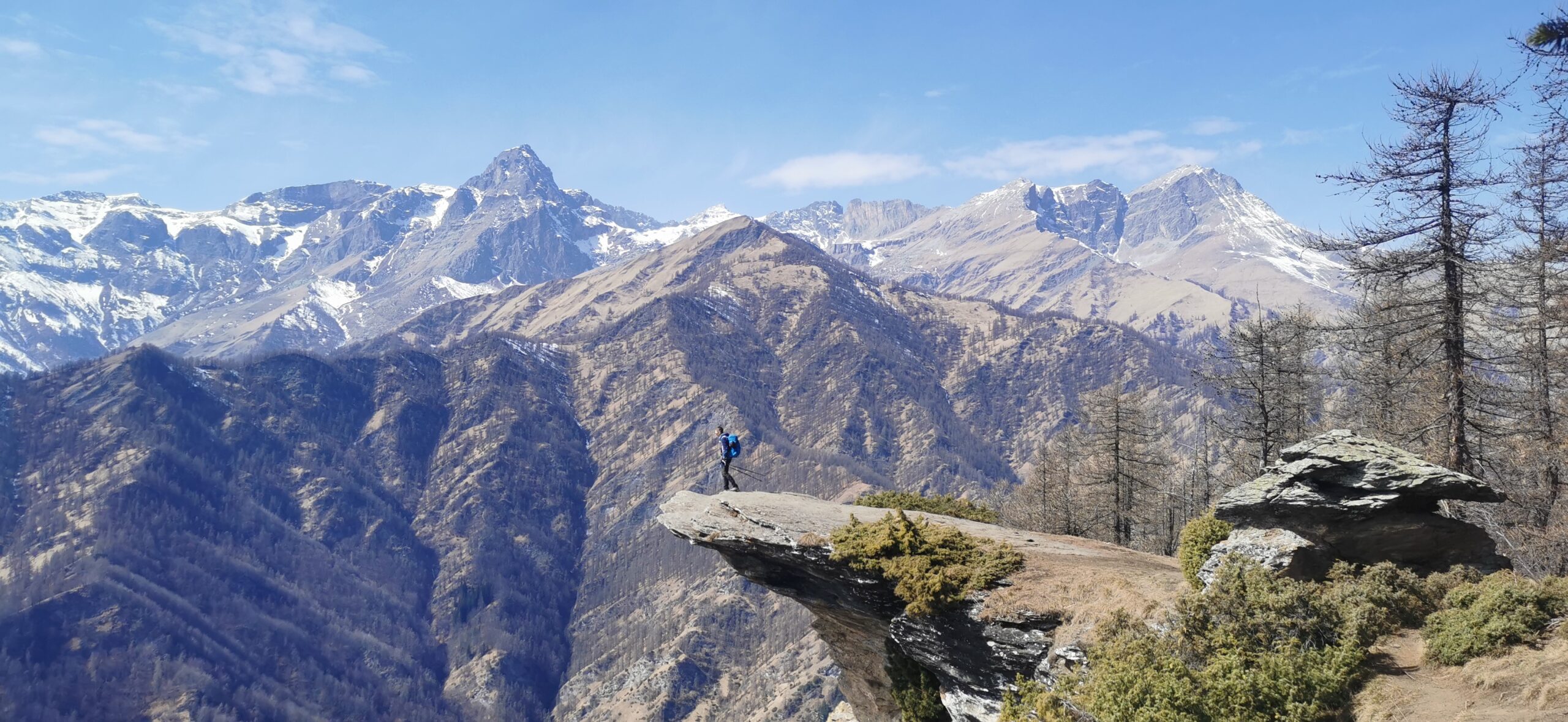
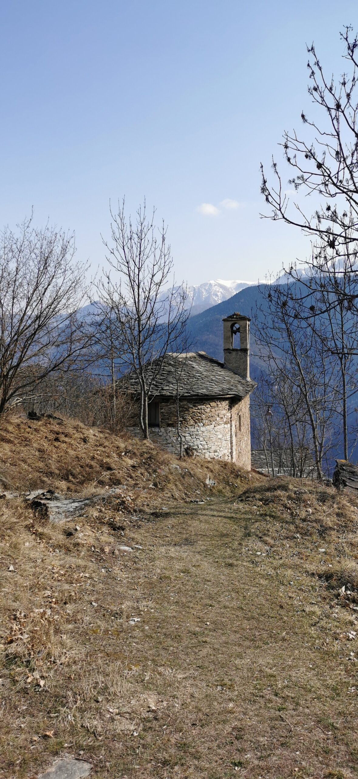
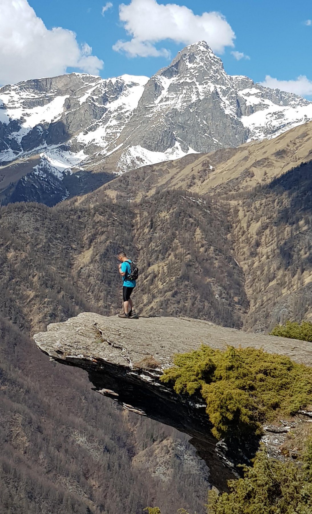
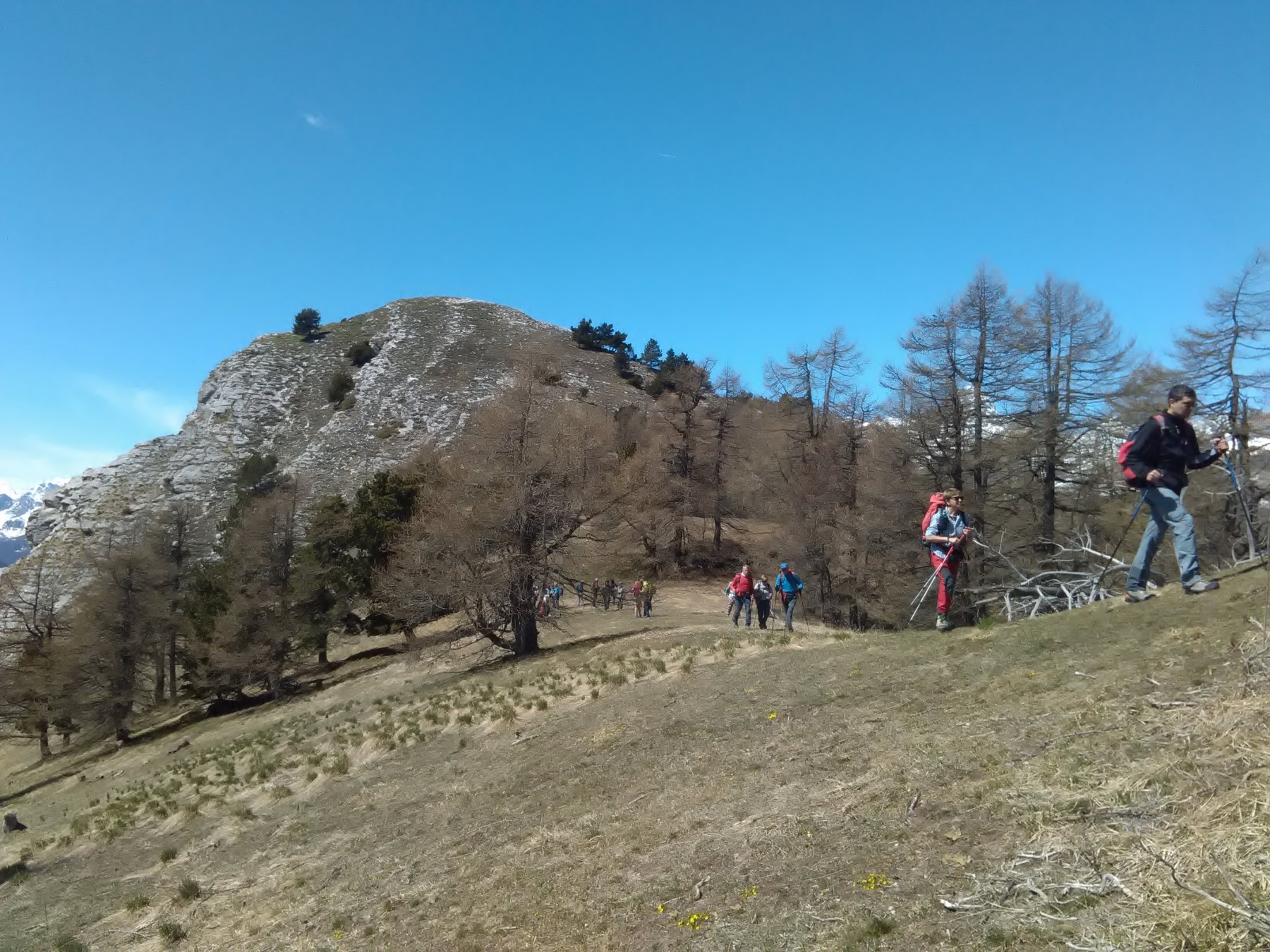
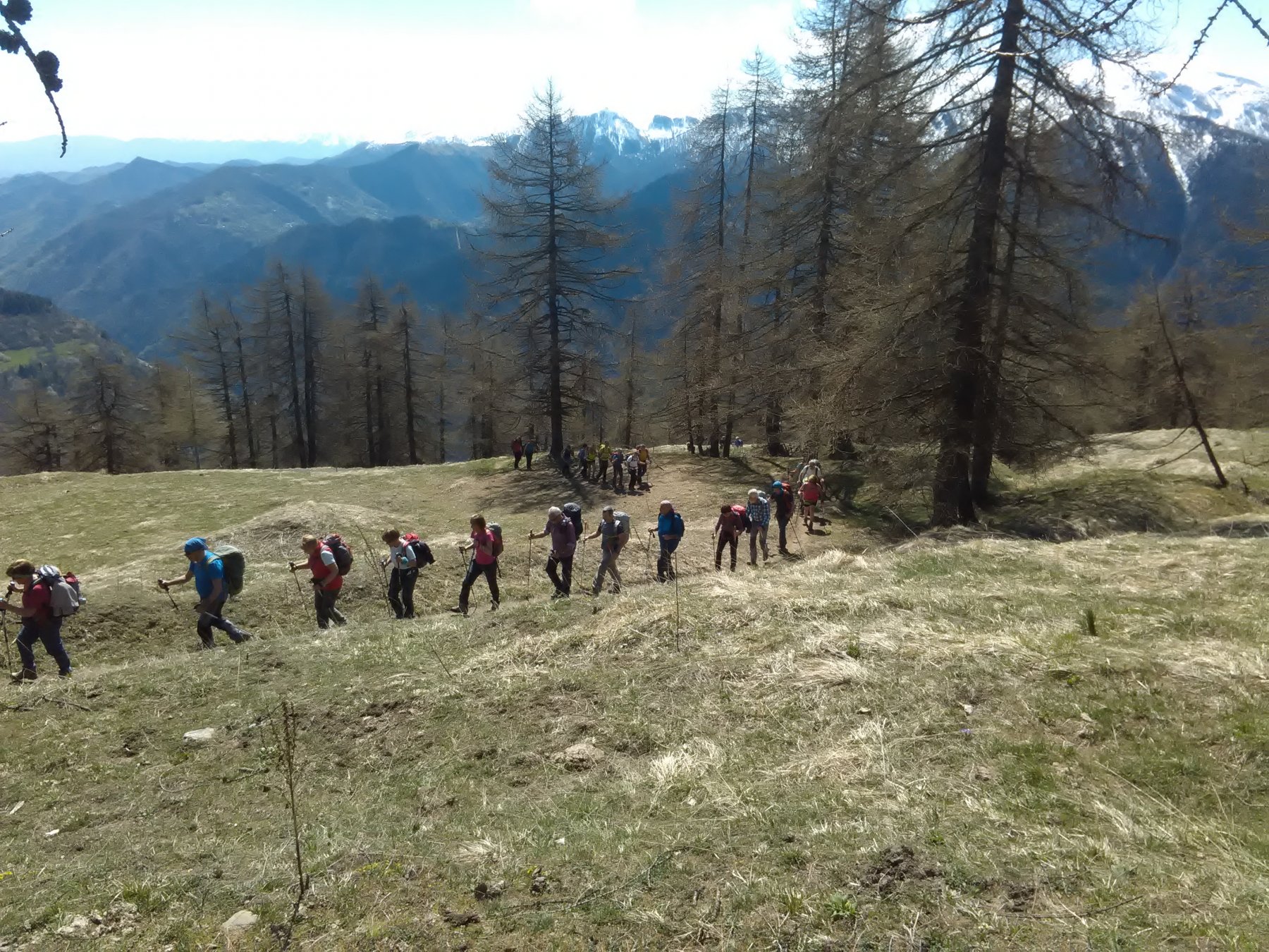
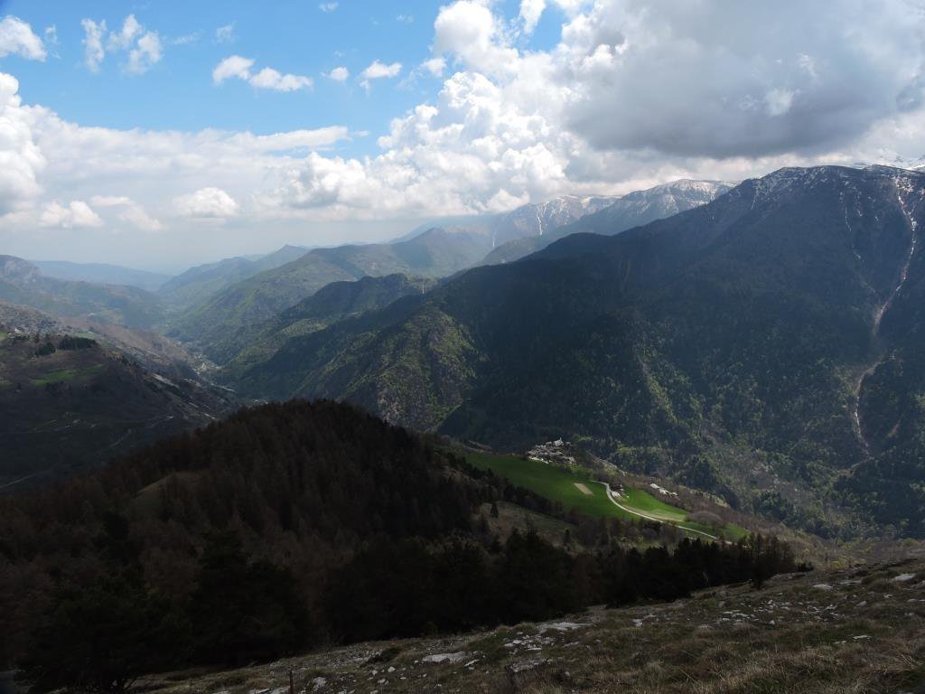
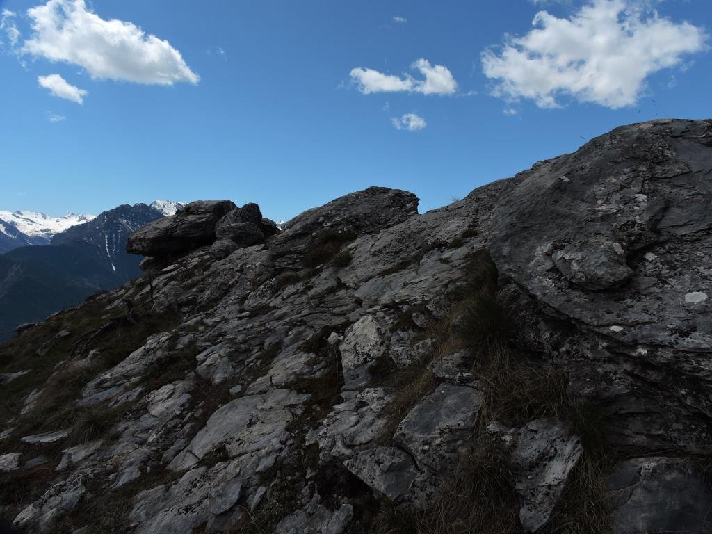
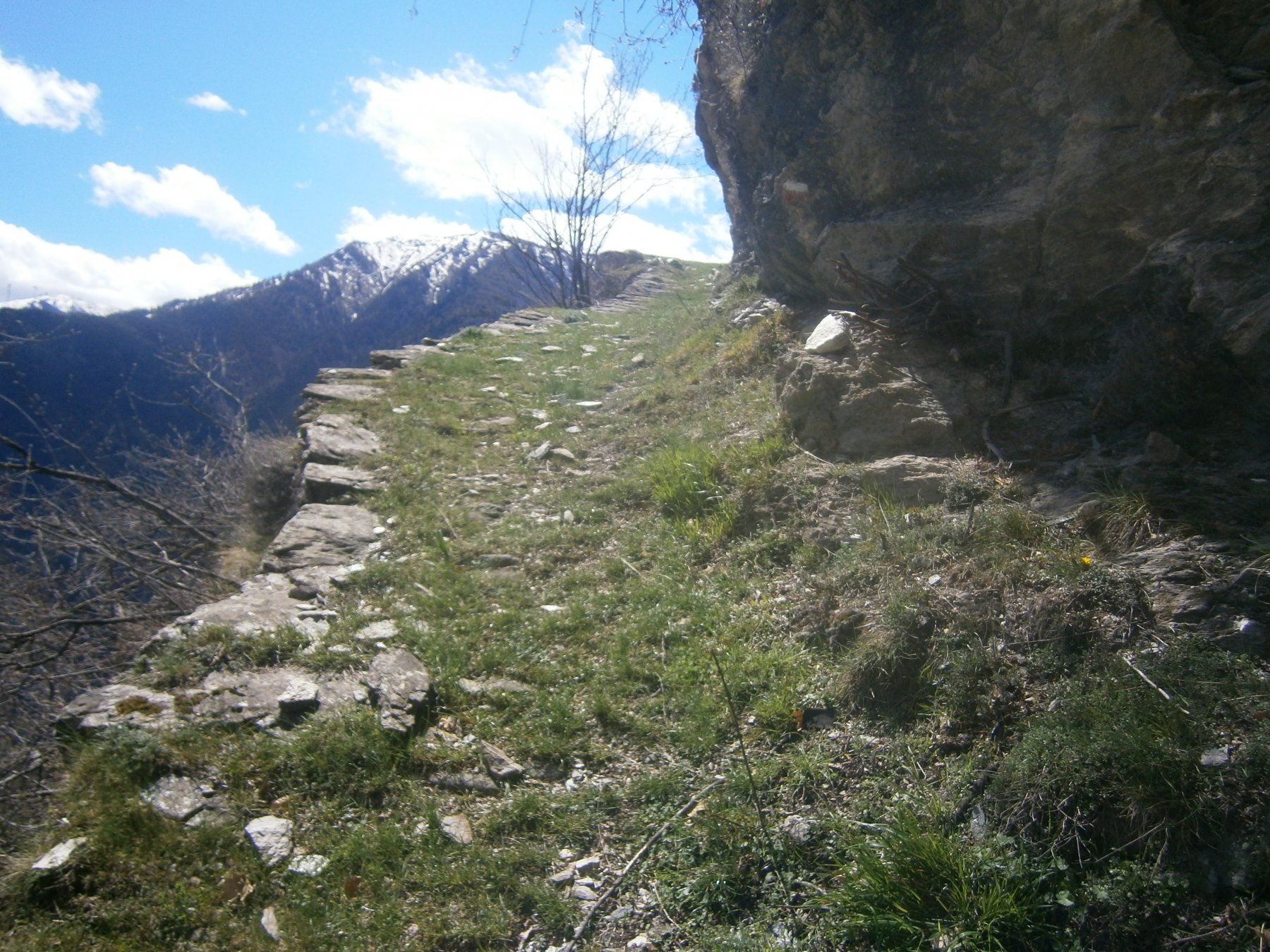
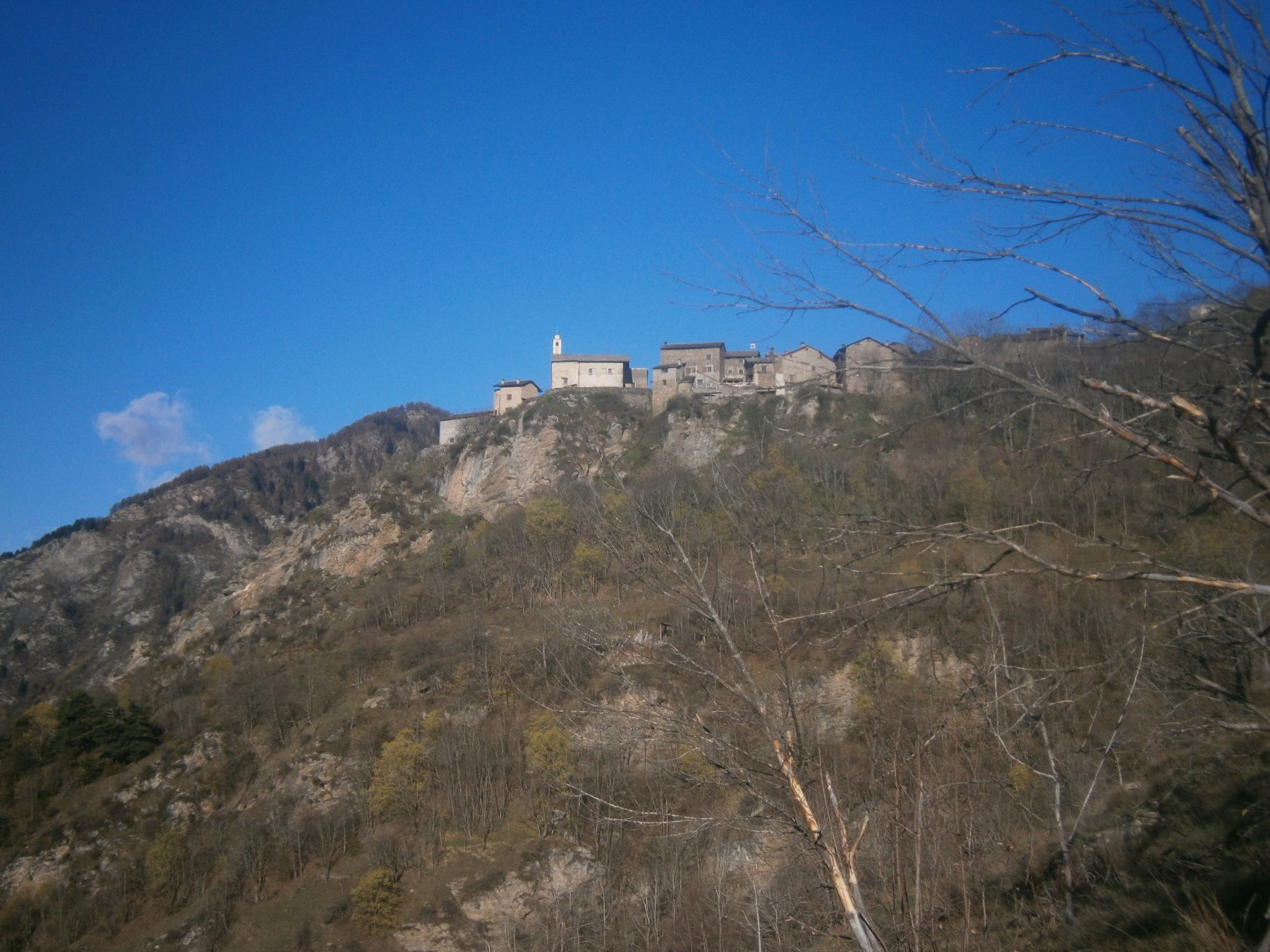
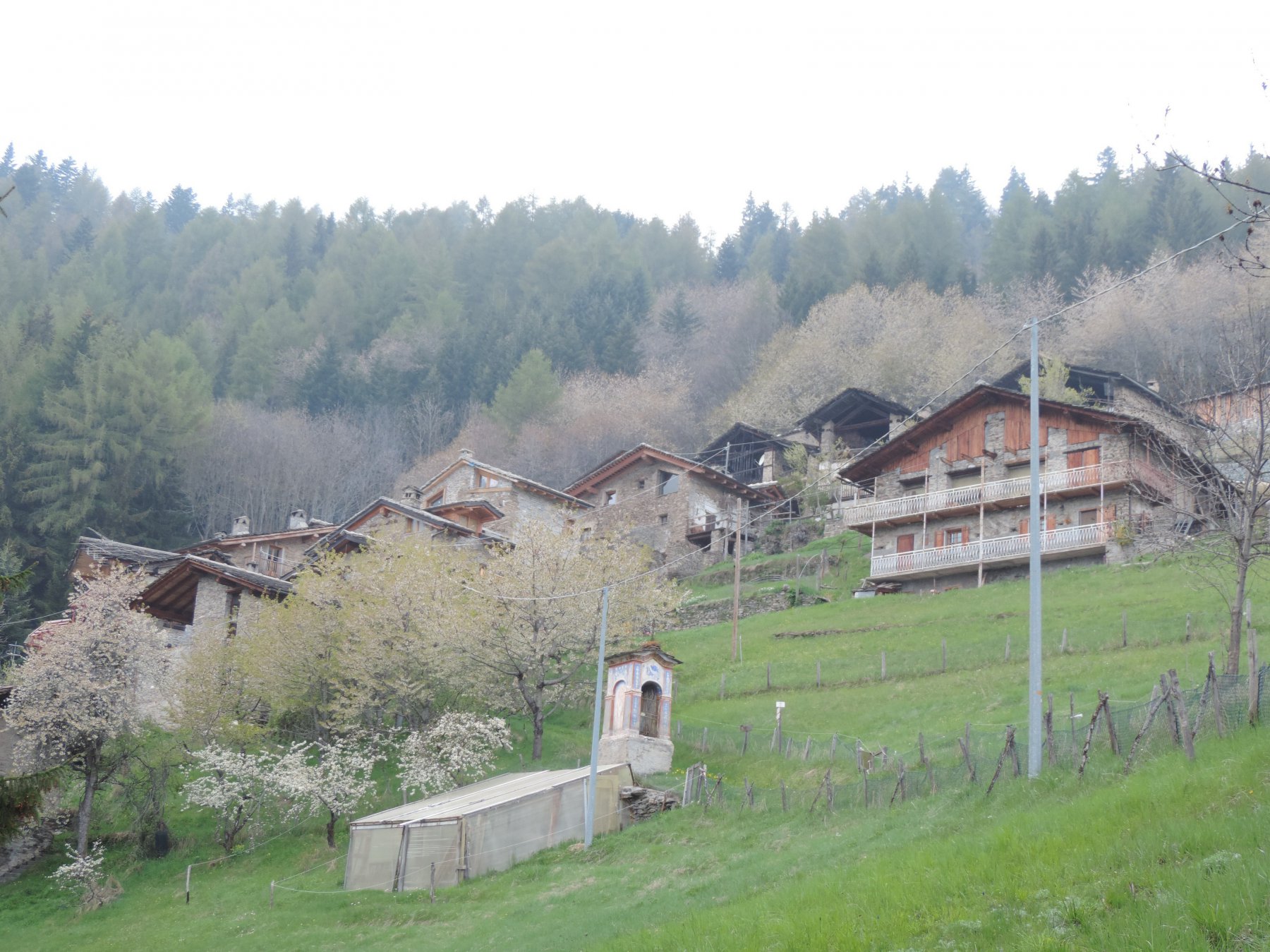
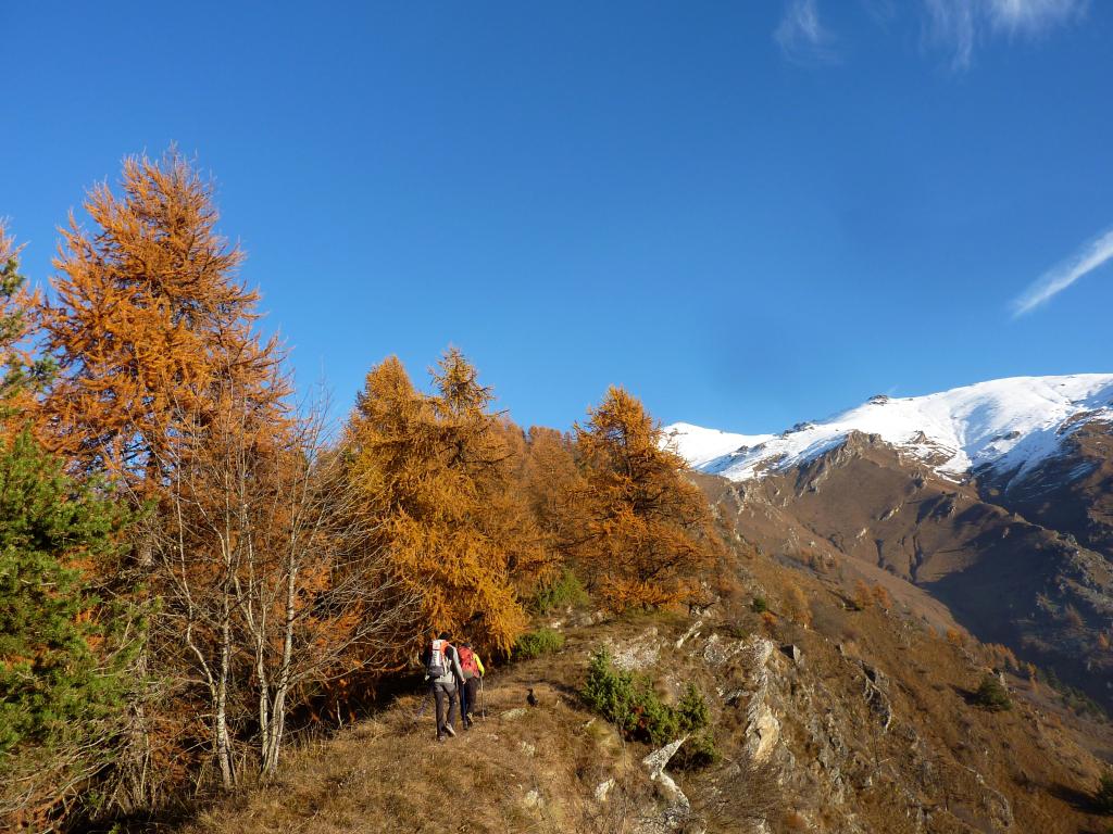
Da Paschero si segue il sentiero per San Martino ,lasciando alcune diramazioni verso le borgate Ciamino e Conta. Arrivati alla bellissima borgata di San Martino il sentiero attraversa tra le case e usciti dal paesino si segue per un breve tratto la strada asfaltata che sale a Elva. Trovata la traccia di salita si passa in un rado lariceto e si arriva al colle Bettone. Dal colle non rimane che svoltare a sinistra e percorsa un tratto della dorsale si risale la ripida china terminale. Una volta scesi dalla cima si segue il pendio e arrivati ad una grangia si risale sulla vicina cima del monte Betunet. Per il ritorno si scende direttamente su pendii erbosi e fado bosco fino a raggiungere San Martino dove si segue il sentiero fatto all’ andata.
- Cartografia:
- IGC Valle Maira - Carta alta valle Maira di Bruno Rosano
Nelle vicinanze Mappa
Itinerari
24/11/2024 CN, Stroppo D+ 400 m E Sud
Diavolo (Grotta del) da Paschero, anello
 50m
50m
06/12/2007 CN, Stroppo D+ 781 m E Tutte
Bettone (Colle) da Paschero, anello
 50m
50m
05/07/2026 CN, Stroppo D+ 900 m E Sud
Cavallina (Colle della) da Paschero, anello per Elva
50m
13/06/2021 CN, Stroppo D+ 1600 m E Sud
Nebin (Monte) da Stroppo
 400m
400m
25/04/2017 CN, Stroppo D+ 950 m E Varie
Encucetta (Colle) da Stroppo, anello per Palent
 400m
400m
12/05/2020 CN, Stroppo D+ 1250 m E Nord
Buch (Monte) da Stroppo
 400m
400m
17/05/2026 CN, Stroppo D+ 1250 m EE Sud-Ovest
Nebin (Monte) e Monte Cugulet da Morinesio per la Bassa di Rasis o di Rocciaset
 1.4Km
1.4Km
20/11/2022 CN, Stroppo D+ 1100 m EE Sud-Est
Cugulet (Monte) e Cima Lubin da Morinesio, anello
 1.4Km
1.4Km
03/05/2025 CN, Stroppo D+ 850 m E Sud
Lu Viol dal Geneste da Ponte Marmora, anello
 3.1Km
3.1Km
24/03/2022 CN, Stroppo D+ 700 m E Varie
Castello (Cresta del) da Chiampo, anello per Pessa, Aramola e Colletto
 4.1Km
4.1Km
Servizi
300m
300m
Napoleonica Ristorante
Stroppo
450m
La Freidio B&B
Marmora
1.5Km
Alpes d’Oc B&B
Stroppo
3.5Km
La sousto du col Rifugio
Elva
4.1Km
Gentil Locanda Ristorante
Marmora
5.6Km
San Pancrazio – Hans Clemer Albergo
Elva
6.1Km
Dei Ciclamini Ristorante
Macra
6.4Km
Lu Pittavin Rifugio
Marmora
6.5Km