850m
850m
Note
 1Km
1.1Km
1.1Km
1.1Km
1.1Km
1.1Km
1.1Km
1.6Km
1.6Km
1.6Km
1Km
1.1Km
1.1Km
1.1Km
1.1Km
1.1Km
1.1Km
1.6Km
1.6Km
1.6Km
850m
1.9Km
1.9Km
1.9Km
2.1Km
3.3Km
6.6Km
8.5Km
8.6Km
8.8Km
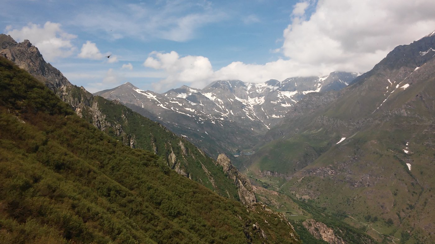
Anello parecchio lungo, che consente di visitare il bel Pian Lunella e salire fino all’erta puntina del Crestas. Da qui ottimo panorama dal Rocciamelone alla Bessanese.
La discesa, molto comoda, su vecchia strada inerbita, consente di visitare la vecchia cava di lose.
Tener conto che da Benot occorre percorrere la strada comunale (4 km)
La difficoltà diventa F solo dal colle Lusera alla punta del Crestas.
Avvicinamento
La discesa, molto comoda, su vecchia strada inerbita, consente di visitare la vecchia cava di lose.
Tener conto che da Benot occorre percorrere la strada comunale (4 km)
La difficoltà diventa F solo dal colle Lusera alla punta del Crestas.
Percorrere la Val di Viù , superare Usseglio e , dopo il paravalanghe, svoltare a sinistra per la frazione Perinera. Lasciare l’auto nella piazza.
Descrizione
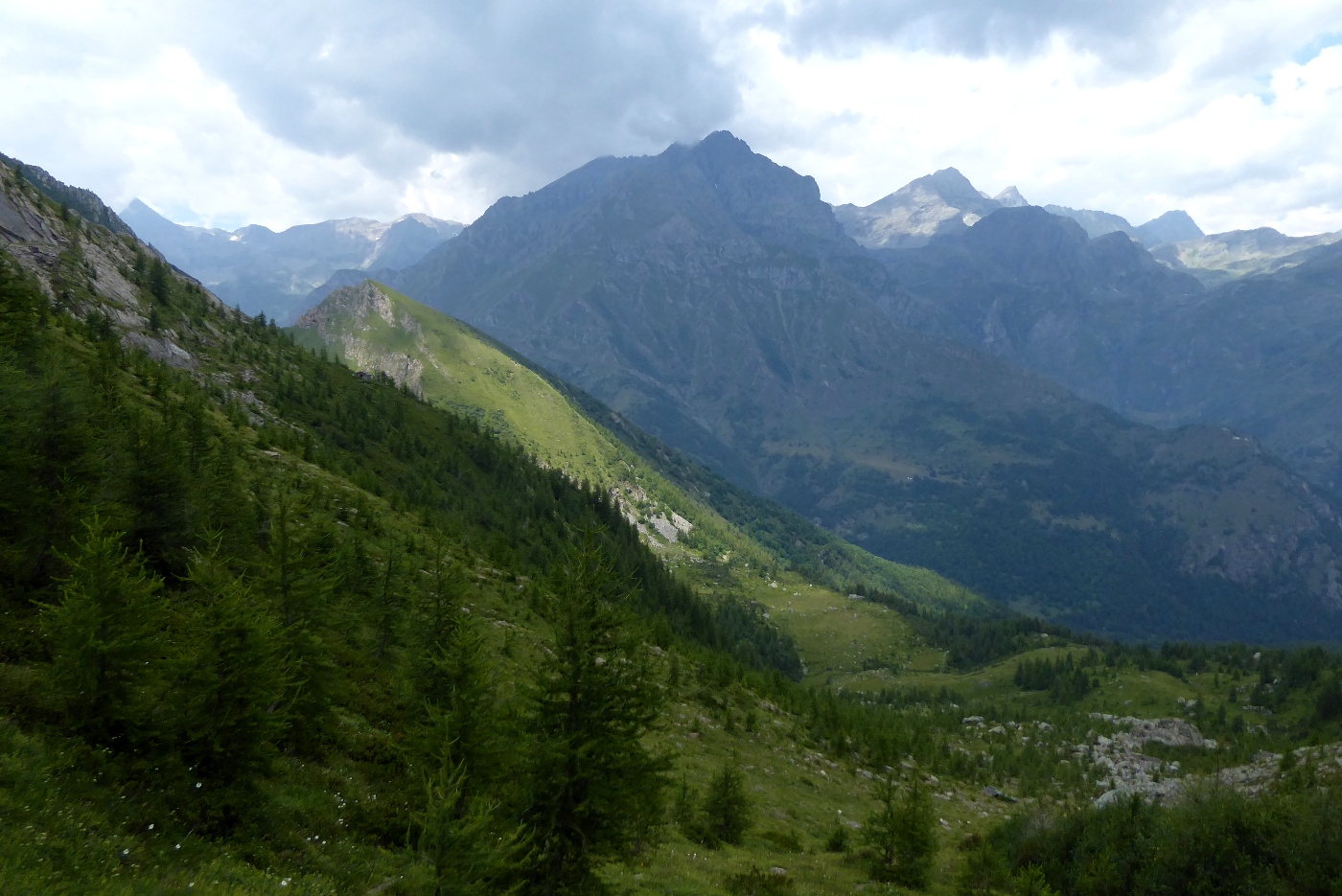
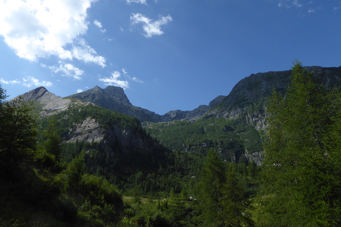
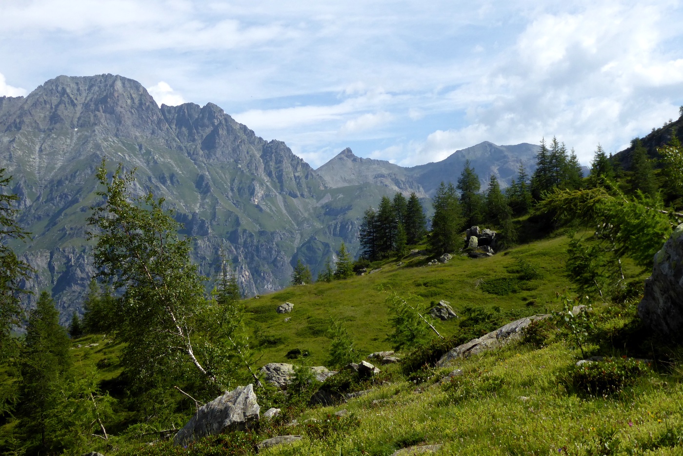
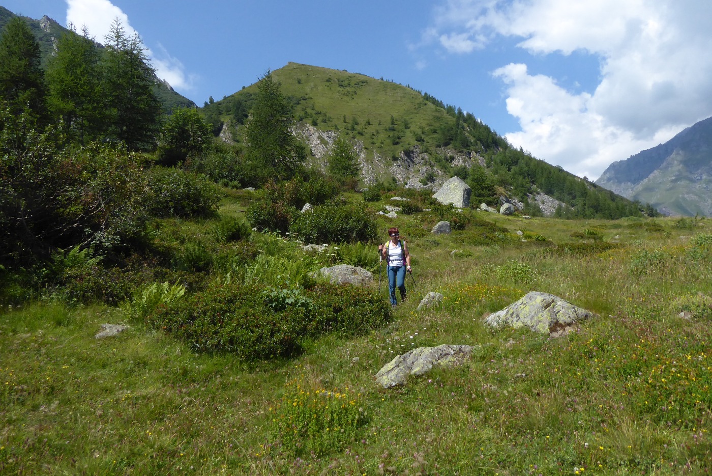
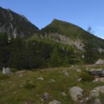
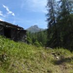
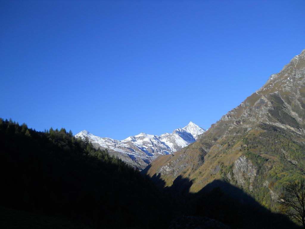
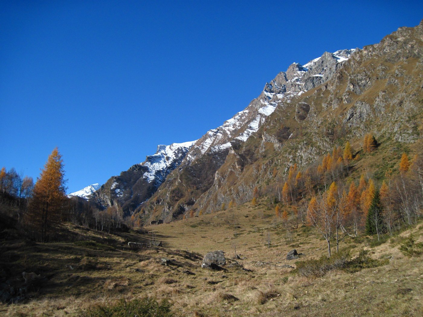
Si prende la strada a sinistra della piazza, si attraversa la borgata e si sale nel bosco, abbastanza ripidamente. Il sentiero procede piano piano verso est, raggiunge le baite Traverset, a cui arriva anche una sterrata, prosegue nel bosco sempre ripidamente fino all’incrocio con la traccia che proviene dall’Andriera. Da qui la pendenza diminuisce e il sentiero si allarga, raggiungendo in breve il Pian Lunella, circa 1920 m .Da qui si prende il sentiero che sale ripido verso est per il colle Lusera 2156 m, tra la Cima Lusera a sud e il Crestas a nord, già ben visibile.
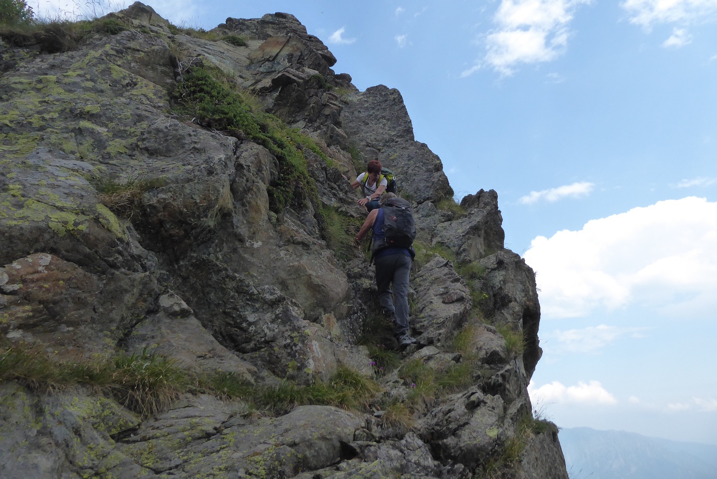
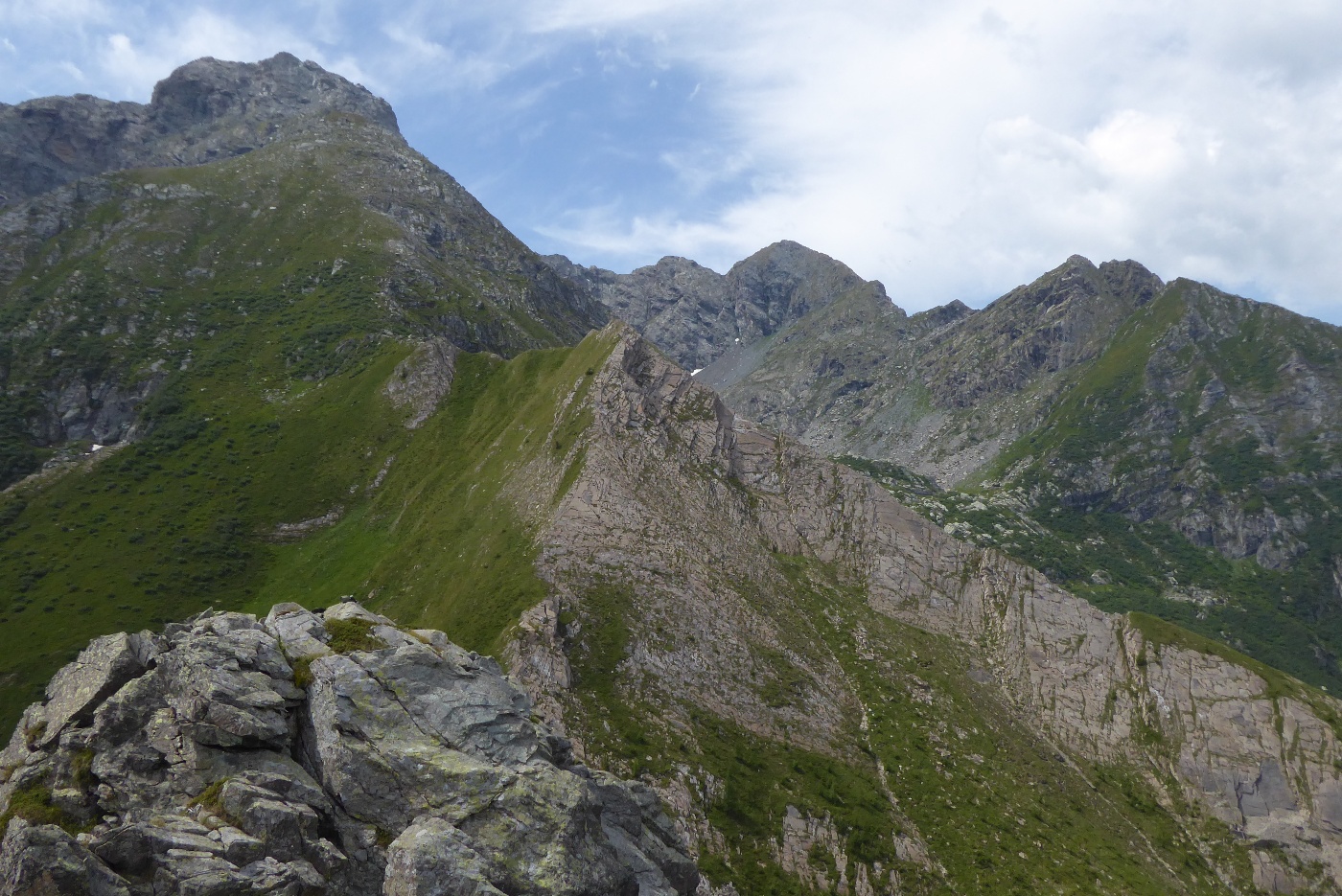
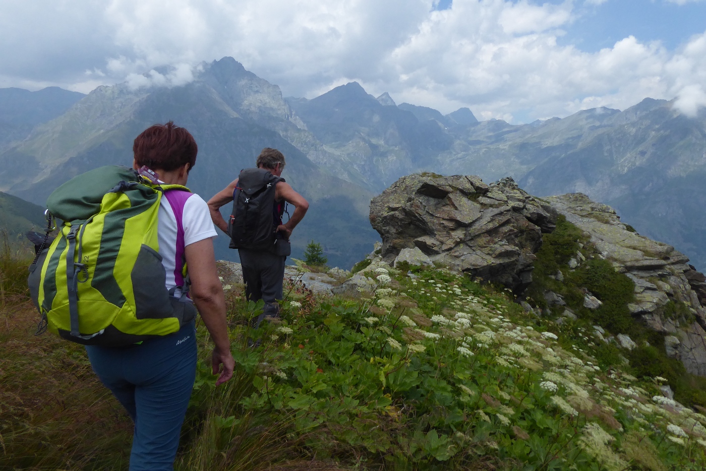
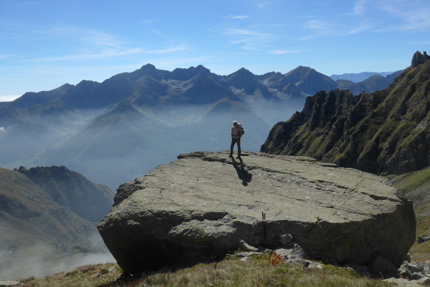
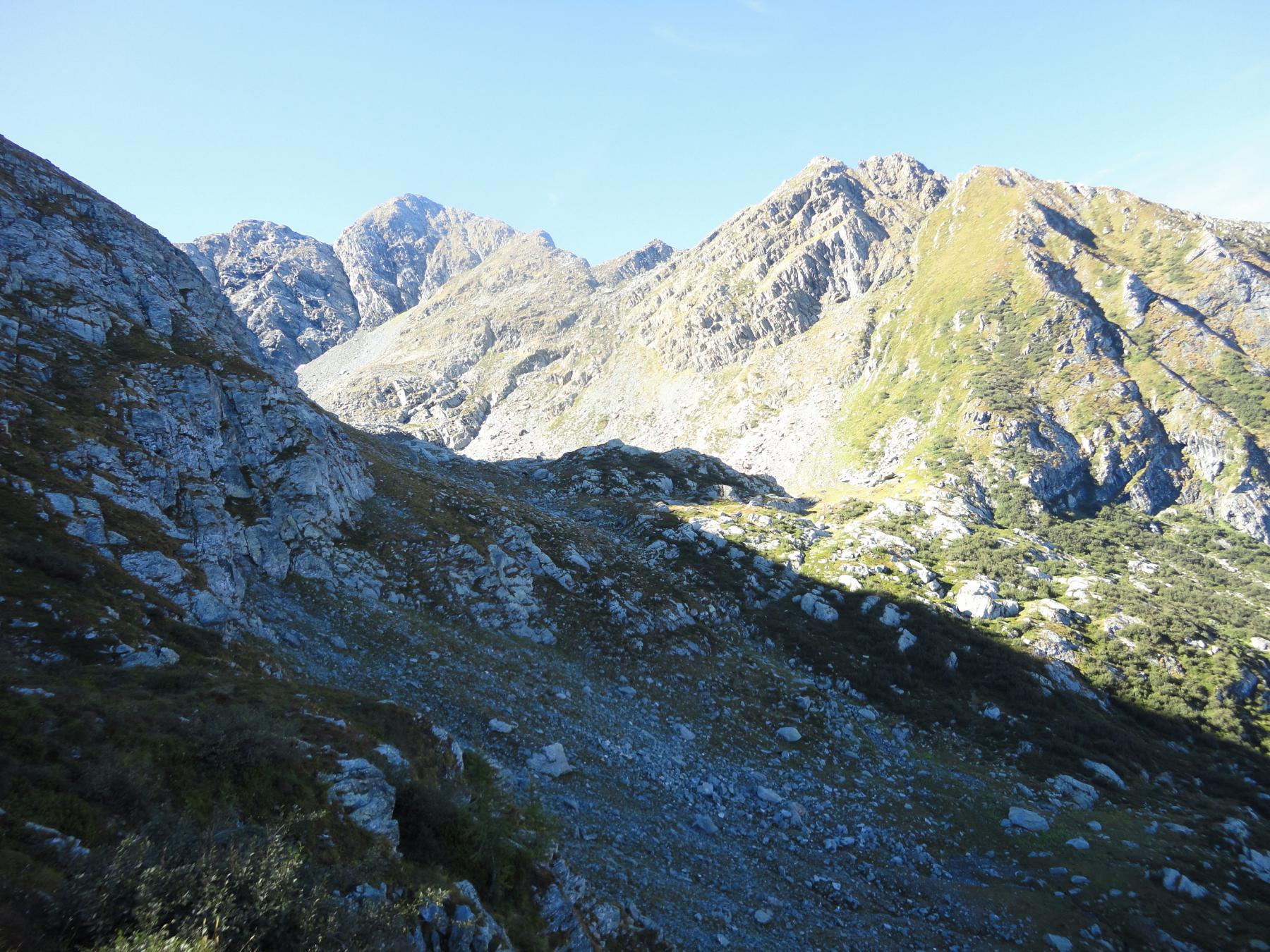
Raggiunto il colle volgere a sinistra (nord ) e in breve raggiungere la base del Crestas, un ben marcato rilievo formato da costoni rocciosi. Con divertente e breve arrampicata (un passo di II°) si giunge all’anticima, separata dalla punta principale da un breve intaglio. La parte finale è facile.
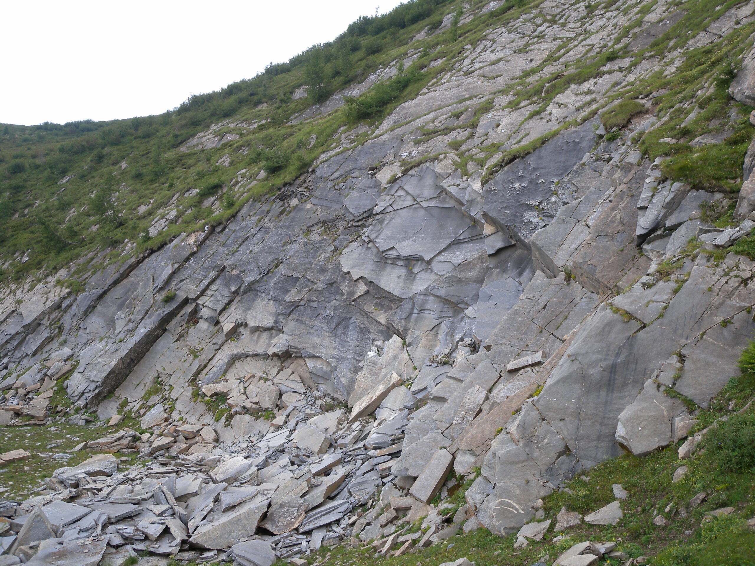
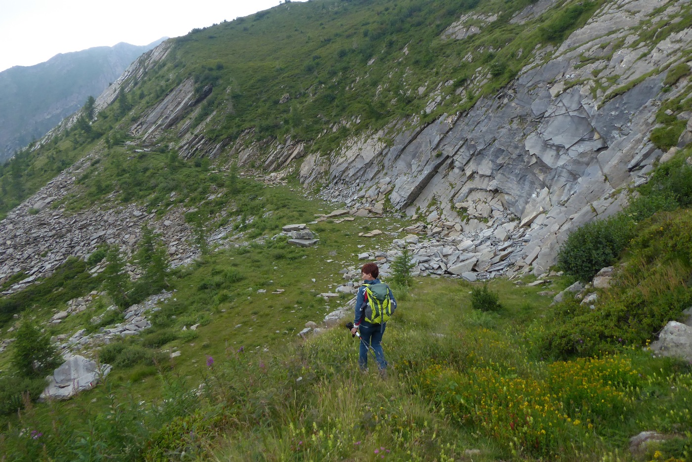
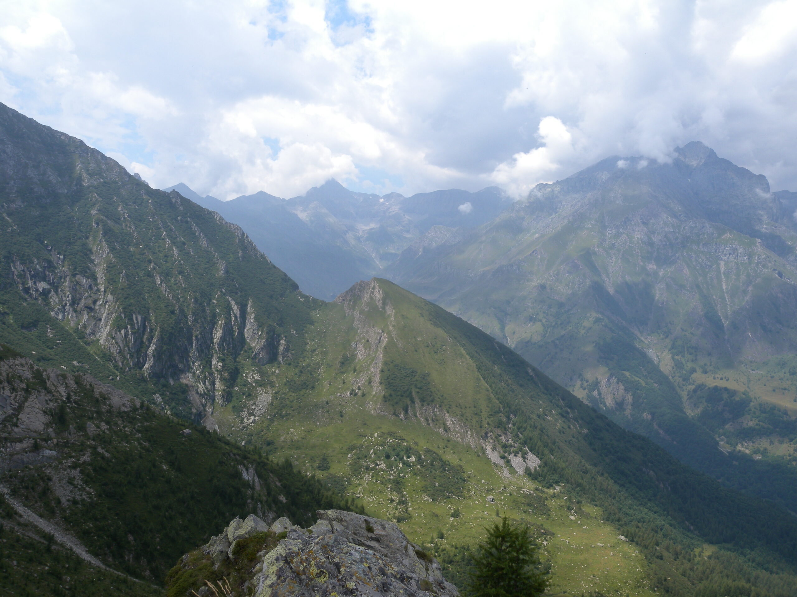
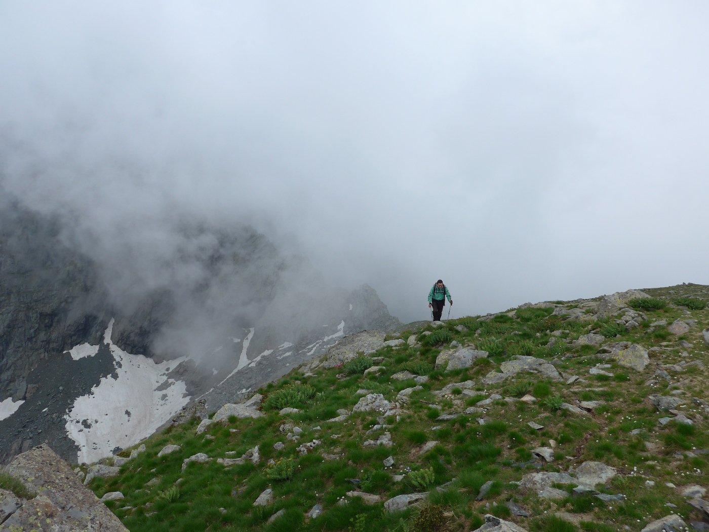
Si scende nuovamente al colle e, volgendo a sinistra (est) per traccia nell’erba si raggiunge la sottostante cava di lose, ben visibile.
Da qui si segue la vecchia strada di servizio della cava che scende alla Fumà sopra Benot. Si piega a sinistra sulla sterrata degli impianti e si raggiunge in breve Benot. Ora è giocoforza percorrere la strada asfaltata che scende a Perinera .
Se si vuole accorciare l’anello si può salire da Andriera, a metà strada fra Perinera e Benot, da dove a destra parte un sentiero ben tracciato che, passando vicino al Ròch dij Gieugh, sale verso sud nel lariceto per congiungersi all’itinerario precedente al bivio citato.
- Cartografia:
- I.G.C.Alte Valli di Lanzo
- Bibliografia:
- Alpi Graie Meridionali
Nelle vicinanze Mappa
Itinerari
13/06/2021 TO, Usseglio D+ 1180 m EE Sud
Servin (Lago del) o Lag d’le Tre Pere da Usseglio
 1Km
1Km
20/07/2024 TO, Usseglio D+ 1086 m EE Nord-Est
Nonna (Punta) da Andriera
 1.1Km
1.1Km
09/04/2023 TO, Usseglio D+ 620 m EE Sud
Panè (Truc) da Andriera
 1.1Km
1.1Km
07/10/2017 TO, Usseglio D+ 1022 m EE Nord-Ovest
Forcola (Punta della) da Andriera
 1.1Km
1.1Km
09/08/2021 TO, Usseglio D+ 158 m E Nord-Est
Cava di Lose da Andriera
 1.1Km
1.1Km
07/06/2015 TO, Usseglio D+ 562 m E Nord-Ovest
Forcola (Colletto della) da Andriera
 1.1Km
1.1Km
20/09/2017 TO, Usseglio D+ 750 m E Varie
Lusera (Punta) da Andriera, anello
 1.1Km
1.1Km
30/10/2025 TO, Usseglio D+ 395 m EE Sud
Malciaussia (Lago di) da Margone per il Traciolin (vecchia Decauville)
 1.6Km
1.6Km
24/08/2017 TO, Usseglio D+ 194 m E Sud-Est
Madonnina della Pace da Margone
 1.6Km
1.6Km
03/07/2026 TO, Usseglio D+ 300 m E Nord
Falin (Lago) da Margone, anello
 1.6Km
1.6Km
Servizi
850m
1.9Km
Il Caminetto Ristorante
Usseglio
1.9Km
Luigi Cibrario Rifugio
Usseglio
1.9Km
Grand’Usselio Albergo
Usseglio
2.1Km
Il bivacco Ristorante
Usseglio
3.3Km
Nej e Solei Ristorante
Usseglio
6.6Km
Vulpot Rifugio
Usseglio
8.5Km
il Cotonificio Bar
Chianocco
8.6Km
Val Servin Ristorante
Balme
8.8Km