500m
500m
Note
 50m
2.9Km
3.2Km
3.2Km
3.2Km
3.2Km
3.2Km
5.3Km
50m
2.9Km
3.2Km
3.2Km
3.2Km
3.2Km
3.2Km
5.3Km
500m
2.4Km
3Km
3.2Km
4Km
5Km
5.3Km
6.1Km
7Km
7.5Km
Presso la Magdeleine molti parcheggi sono a pagamento. All'interno del paese (In basso) ci sono diversi parcheggi gratuiti.
Avvicinamento
.
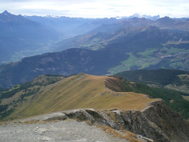
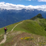
Descrizione
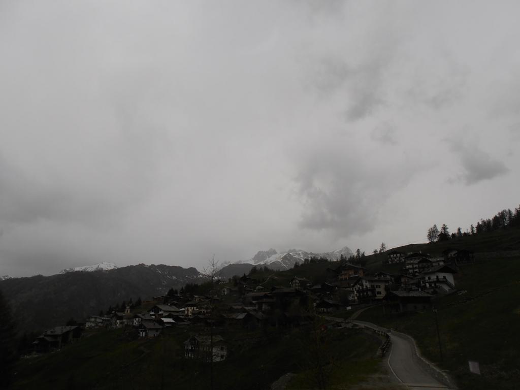
Raggiungere La Magdeleine con strada asfaltata da Antey st.André. Un buon punto di partenza per questo itinerario può essere la frazione Artaz, dove è presente un ampio parcheggio vicino ad un ristorante.
La strada verso Chamois: risalire un tornante su asfalto fino a raggiungere una strada sterrata sulla sx che porta a Chamois (Indicazioni).
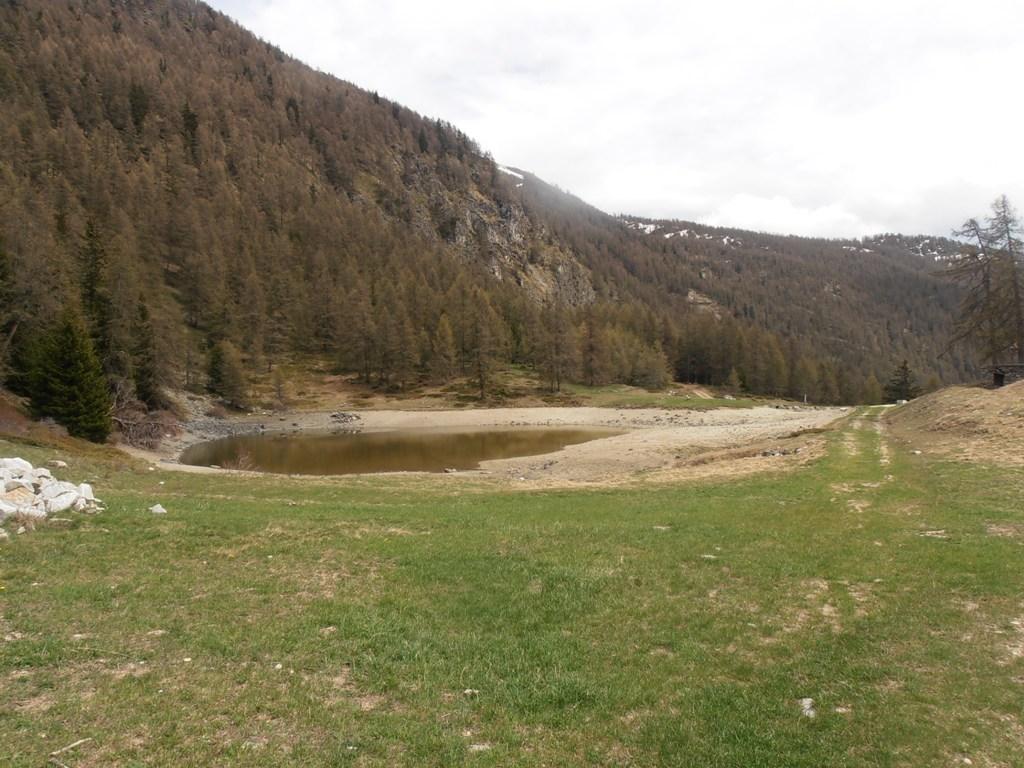
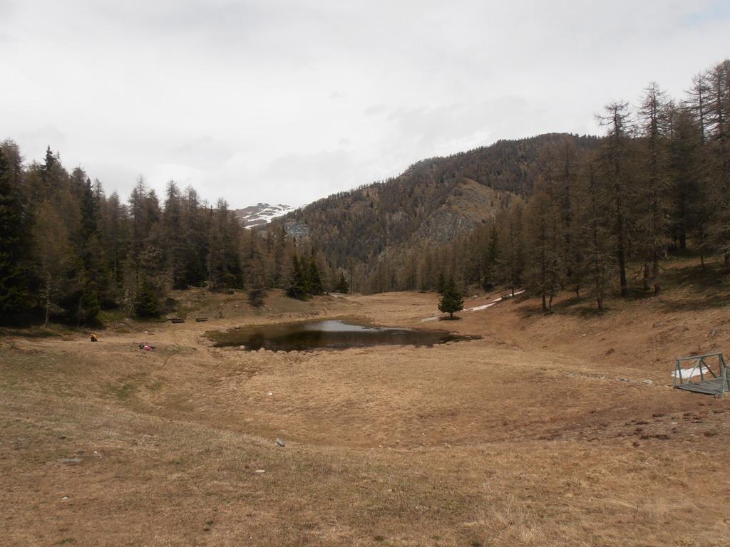
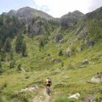
Questa strada prosegue in falsopiano fino a raggiungere il paese di Chamois.
Il ritorno: per la strada di andata oppure con deviazione in salita verso il Col Pilaz; evidente il bivio. Il col Pilaz è altresì raggiungibile dalla strada percorsa all’andata, senza svoltre per Chamois.
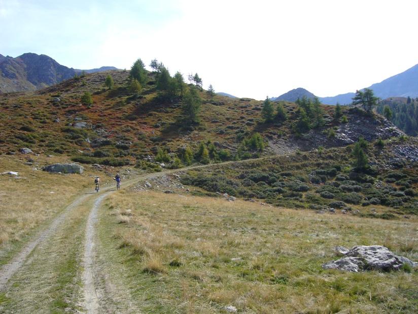
La discesa diretta dal Col Pilaz ad Artaz è impegnativa nel primo tratto (Sentiero, comunque ampio) che diventa in breve una strada sterrata.
- Cartografia:
- IGC 1:25000 Cervino - Champoluc
Nelle vicinanze Mappa
Itinerari
25/09/2013 AO, La Magdeleine D+ 1000 m BC, TC, S1 Sud-Ovest
Pillonet (Col) da La Magdeleine, anello
 50m
50m
22/10/2023 AO, La Magdeleine D+ 1300 m MC+, OC, S3 Varie
Zerbion (Monte) da Promiod, giro per il Colle di Biere e Col Portola
 2.9Km
2.9Km
29/08/2004 AO, Antey-Saint-André D+ 1140 m BC, BC+ Nord-Est
Fontana Fredda (Punta) da Buisson, giro
3Km
15/09/2019 AO, Antey-Saint-André D+ 2526 m OC+, OC, S3 Tutte
Cignana (Finestra di) da Antey Saint André, Grande Balconata del Cervino
 3.2Km
3.2Km
29/05/2023 AO, Antey-Saint-André D+ 1600 m MC+, BC, S2 Tutte
Champlong (Col) da Antey Saint André, giro per Chamois e La Magdeleine
 3.2Km
3.2Km
24/04/2025 AO, Antey-Saint-André D+ 1000 m TC, BC, S2 Sud-Ovest
Pilaz (Col) da Antey Saint Andrè
3.2Km
10/08/2006 AO, Antey-Saint-André D+ 2200 m BC, TC, S1 Tutte
Nana (Col di) da Antey Saint André
 3.2Km
3.2Km
15/10/2012 AO, Antey-Saint-André D+ 1320 m MC+, BC, S2 Tutte
Cheneil (Colle di) da Antey Saint Andrè, giro per Cheneil
 3.2Km
3.2Km
01/07/2021 AO, Antey-Saint-André D+ 1700 m OC+, OC+, S3 Varie
Aver (Becca d’) e Cima Longhede da Antey Saint Andrè
 3.2Km
3.2Km
05/08/2025 AO, Torgnon D+ 1300 m MC+, MC, S1 Varie
Tsan o Cian (Bivacco e Lago) da Torgnon
 5.3Km
5.3Km
Servizi
500m
2.4Km
Maison de Suis B&B
Chamois
3Km
Pession Ristorante
Antey-Saint-André
3.2Km
Bellevue Rifugio
Chamois
4Km
da Bruna Ristorante
Chamois
5Km
Boule de neige B&B
Antey Saint Andrè
5.3Km
Jour et Nuit Ristorante
Torgnon
6.1Km
Lavesè Ristorante
Saint-denis
7Km
Panorama al Bich Ristorante
Valtournenche
7.5Km