6Km
6Km


Note
 50m
50m
50m
50m
50m
50m
50m
50m
2.3Km
2.3Km
50m
50m
50m
50m
50m
50m
50m
50m
2.3Km
2.3Km
La cima è anche raggiungibile partendo dal col San Carlo. In questo caso, si può scegliere se seguire la stradina o, più direttamente, la dorsale nord.
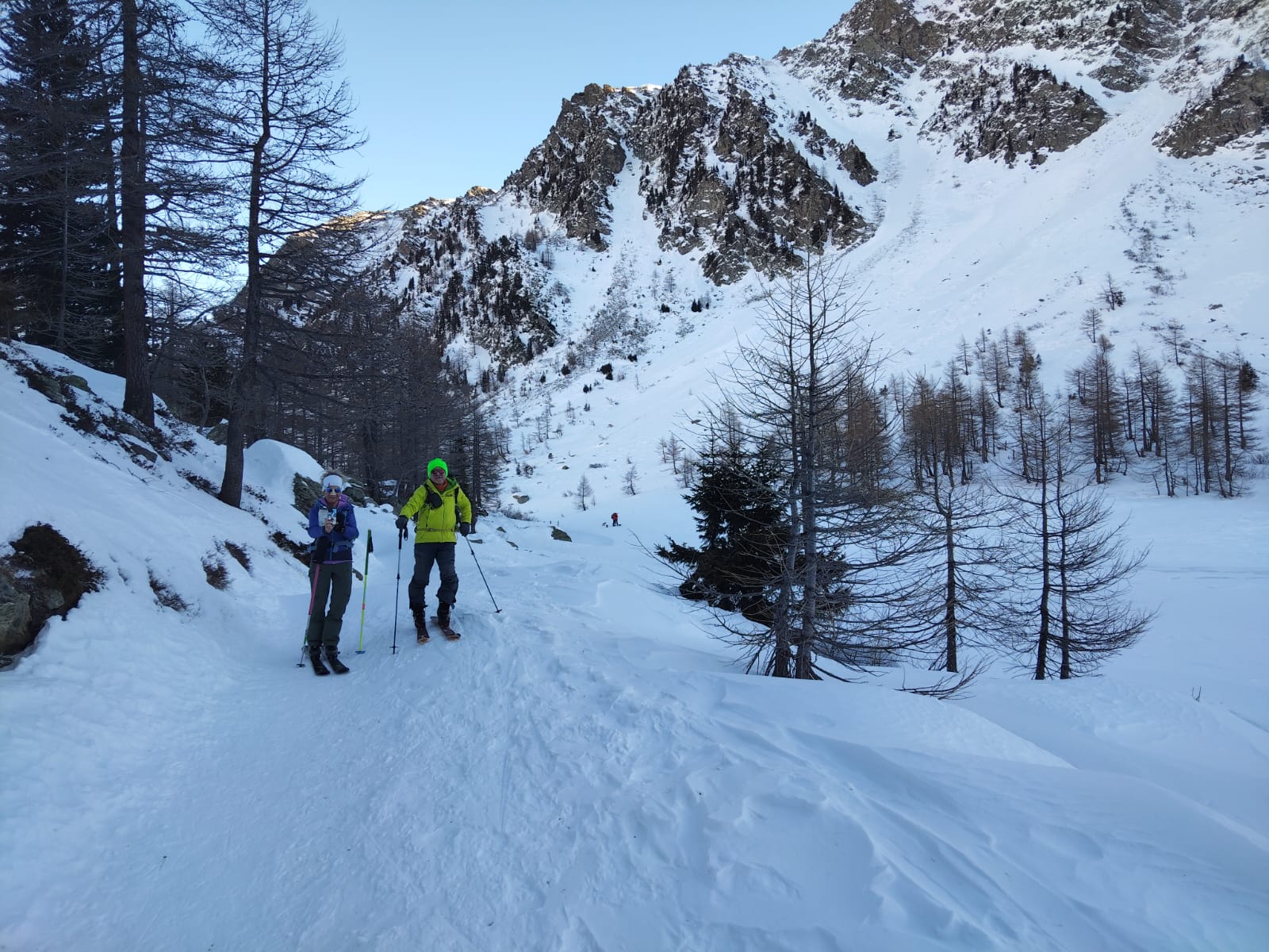
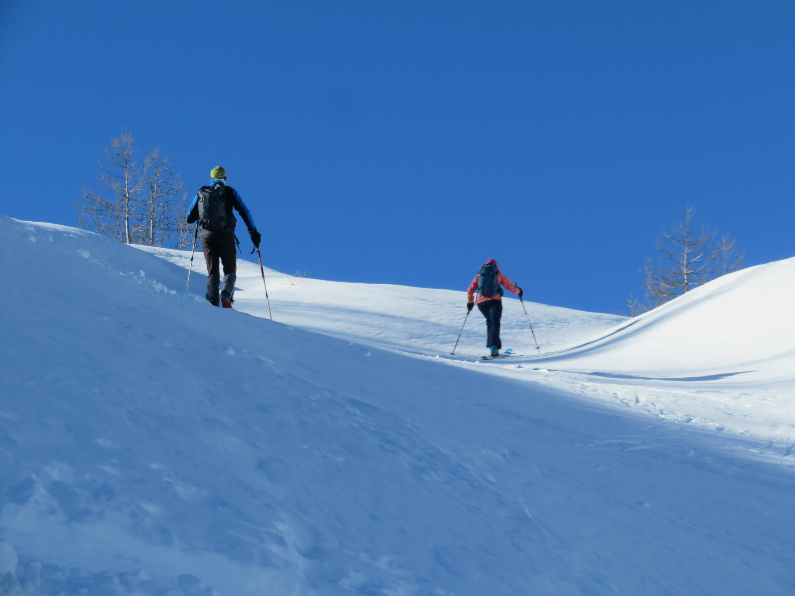
Avvicinamento
.
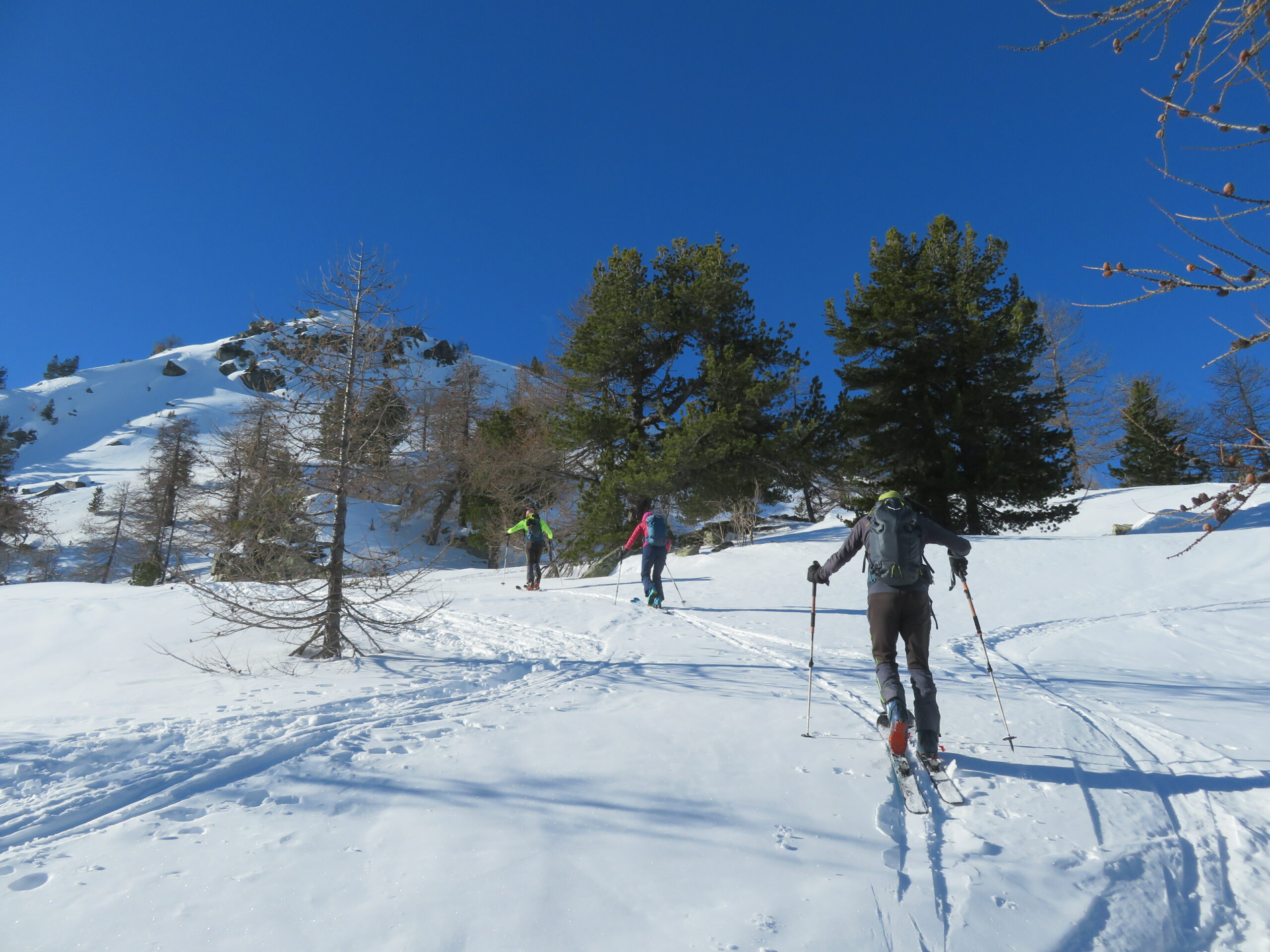
Descrizione
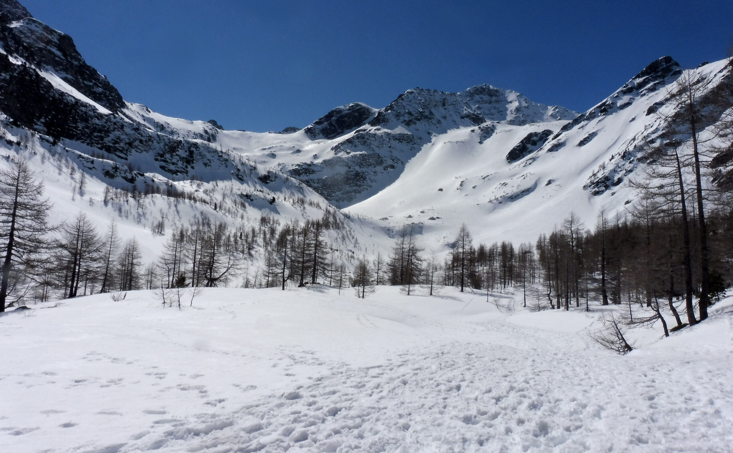
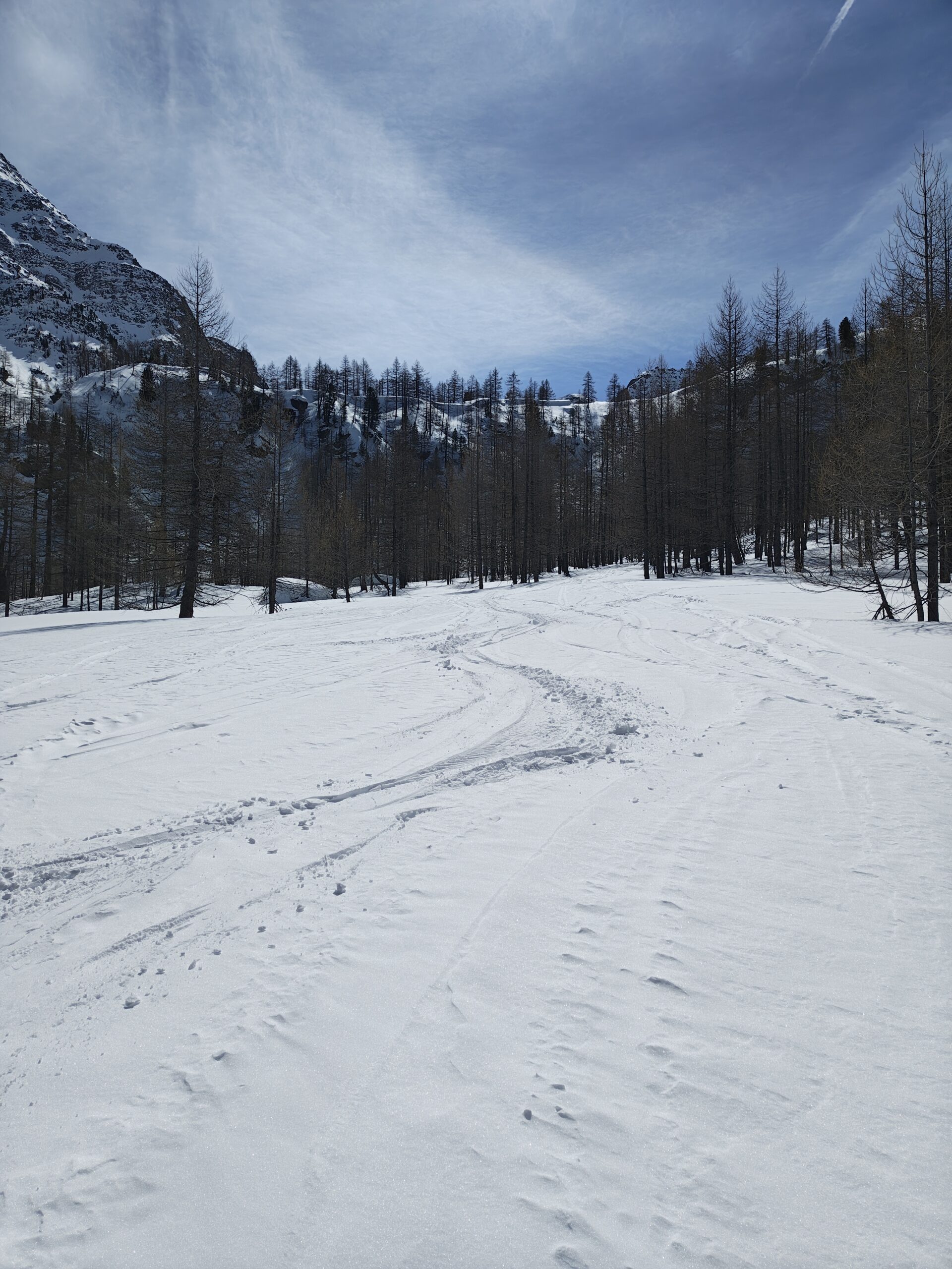
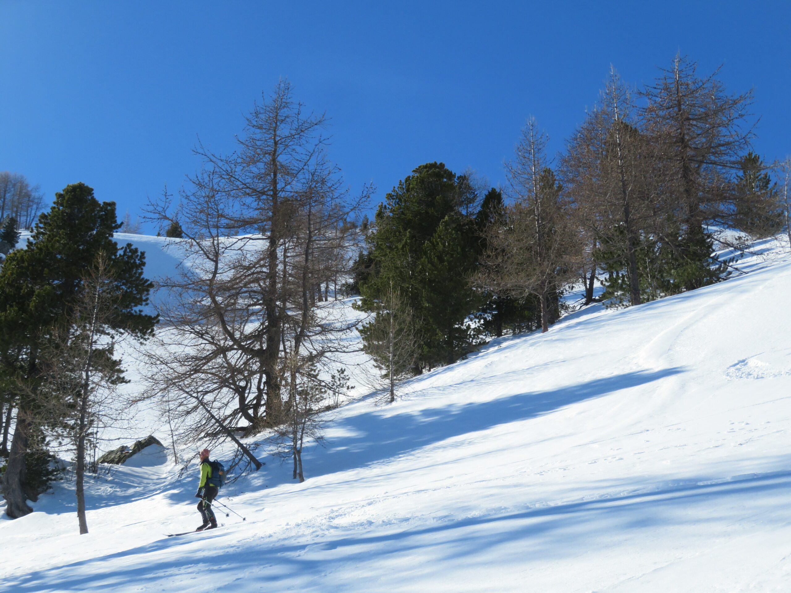
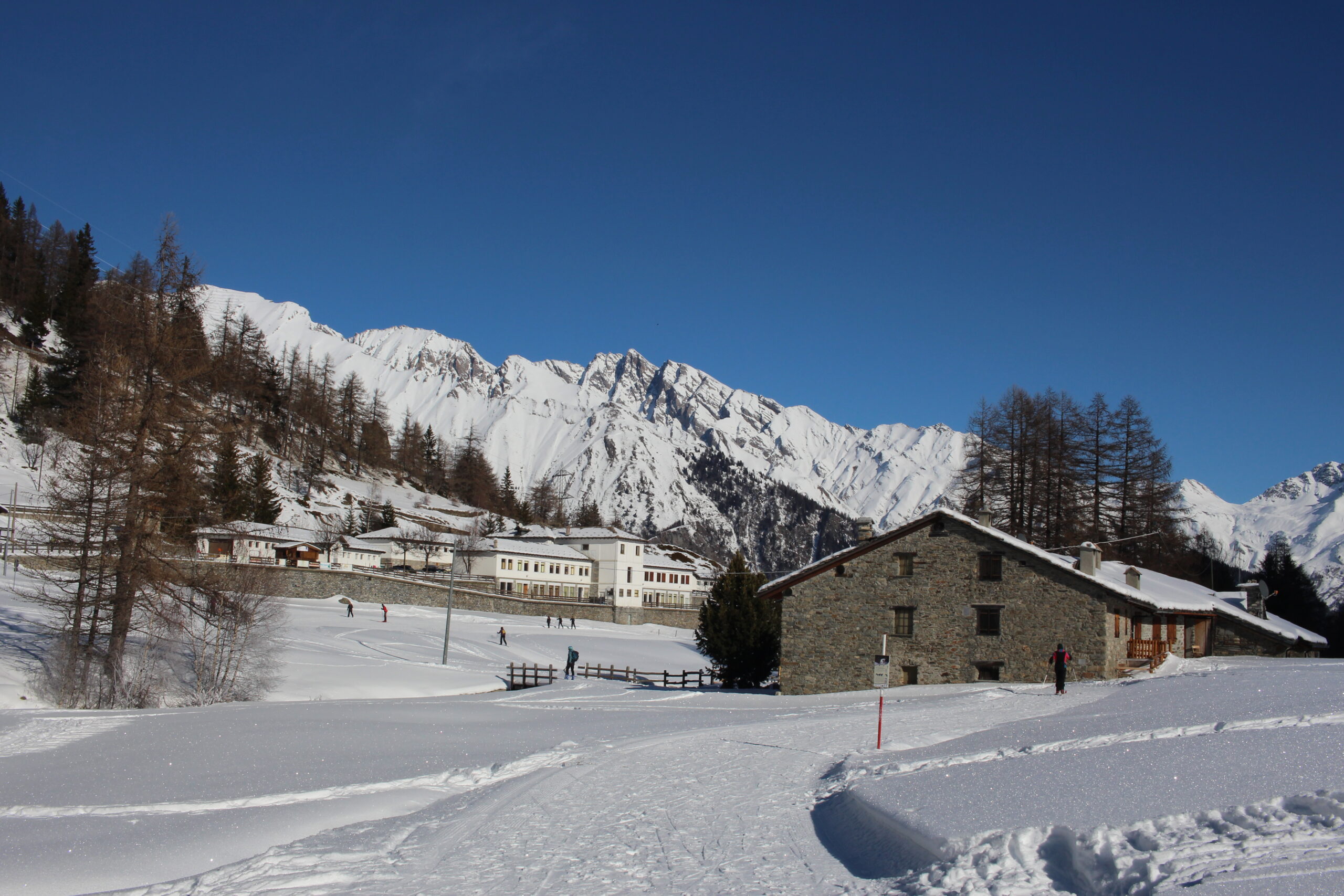
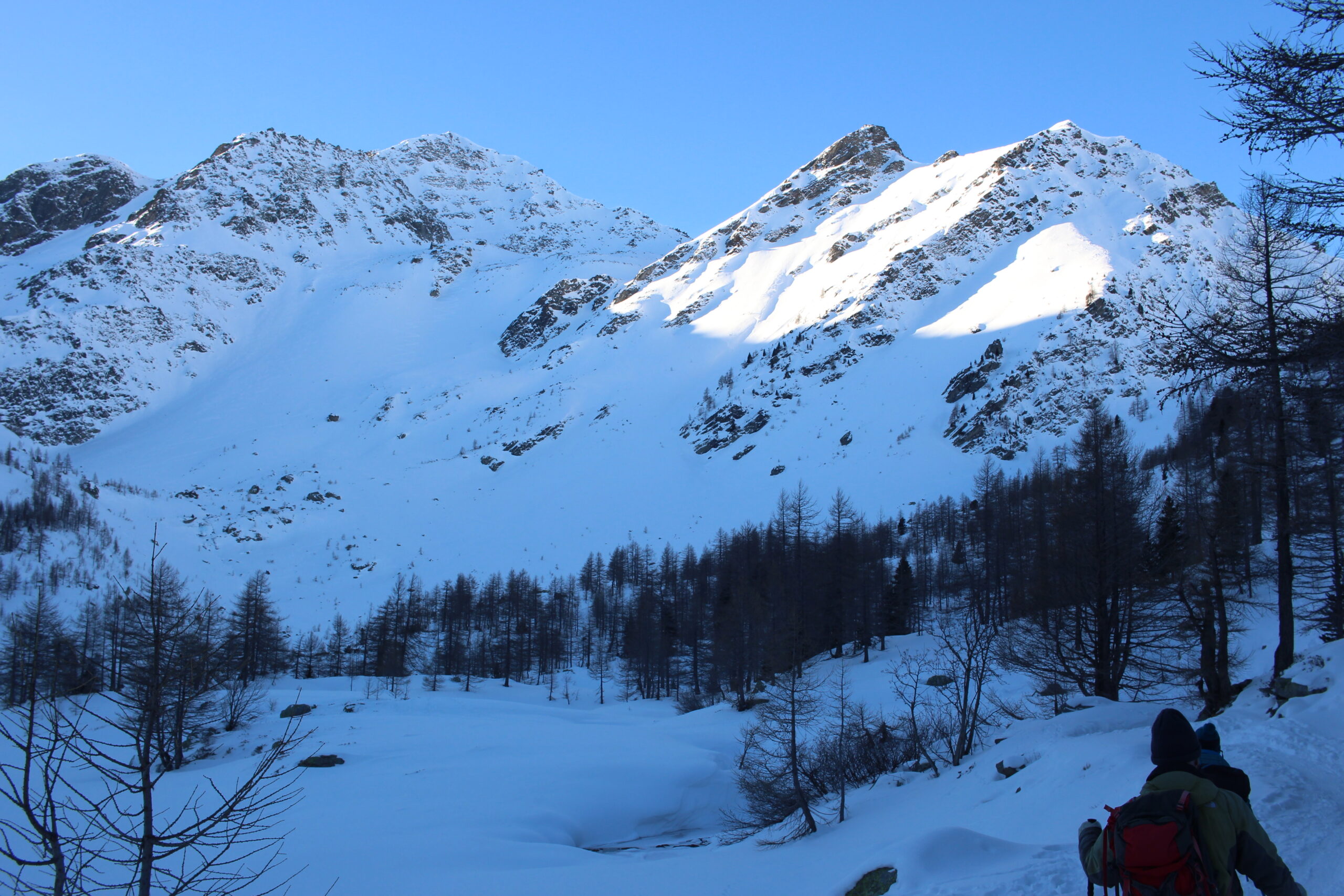
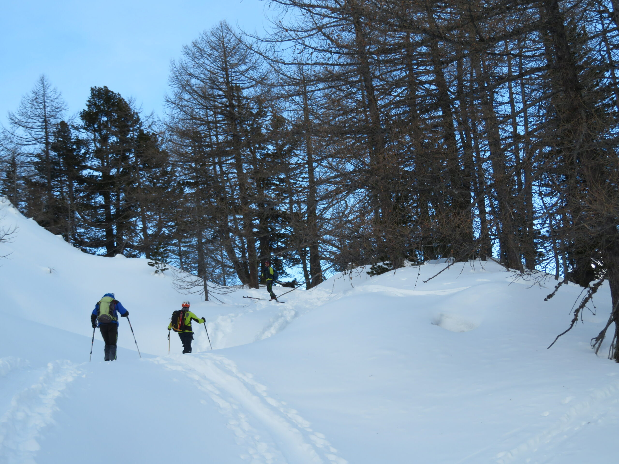
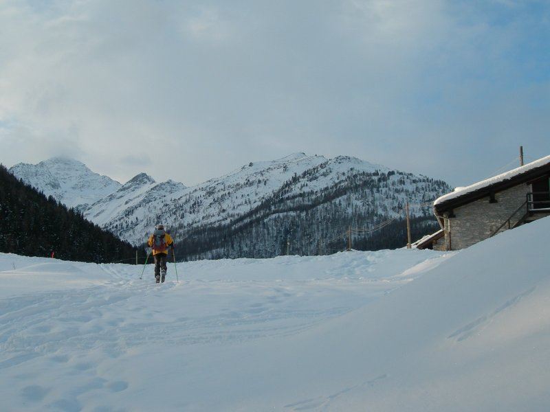
Da Arpy attraversare il lungo piano sino ad un fabbricato abbandonato.
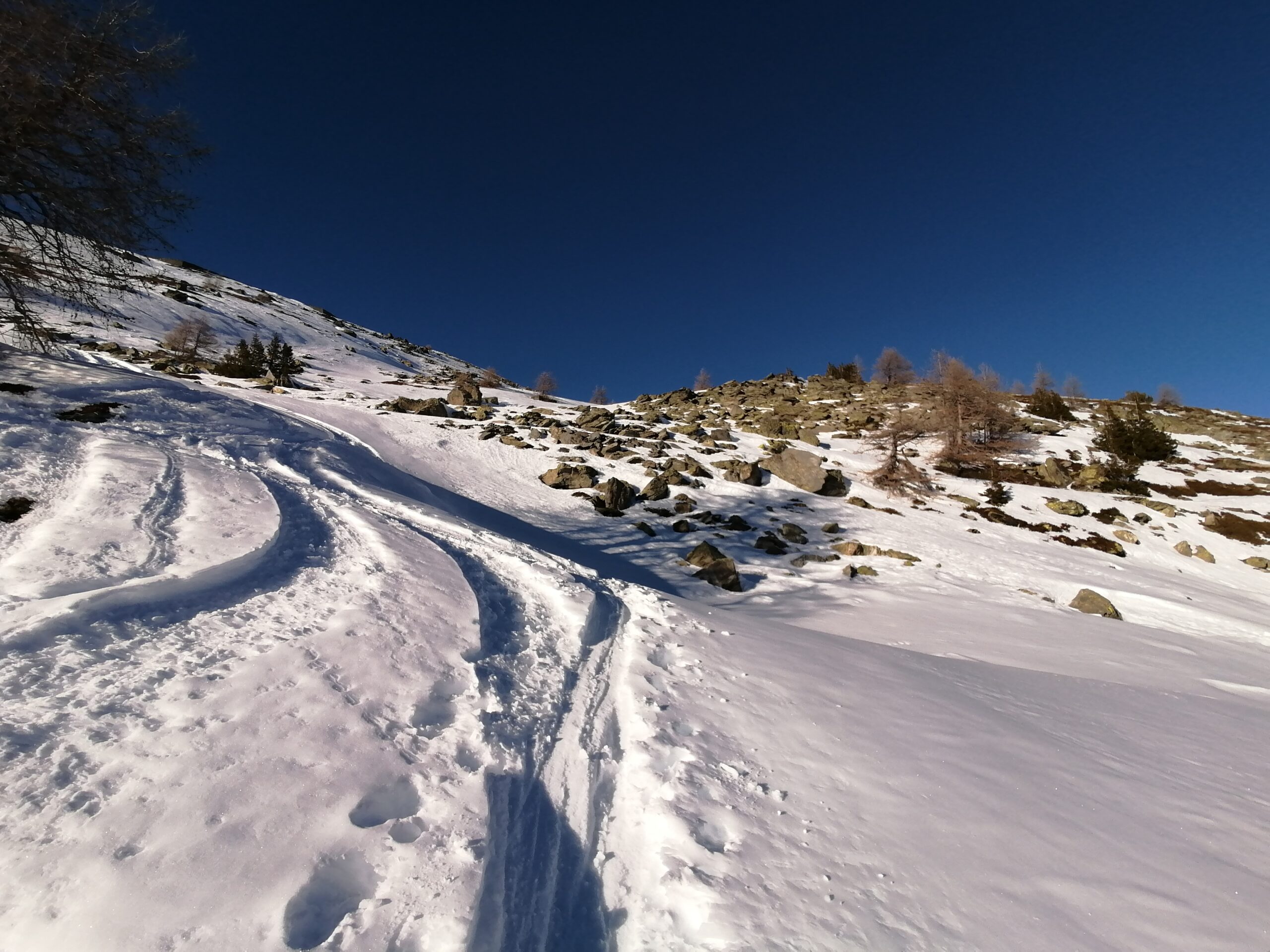
Risalire sulla sinistra tra gli alberi per poi attraversare lungo il ripido fianco della valle sino ad attarversarne il torrente.
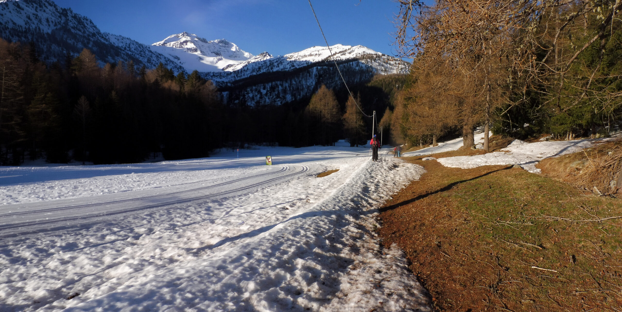
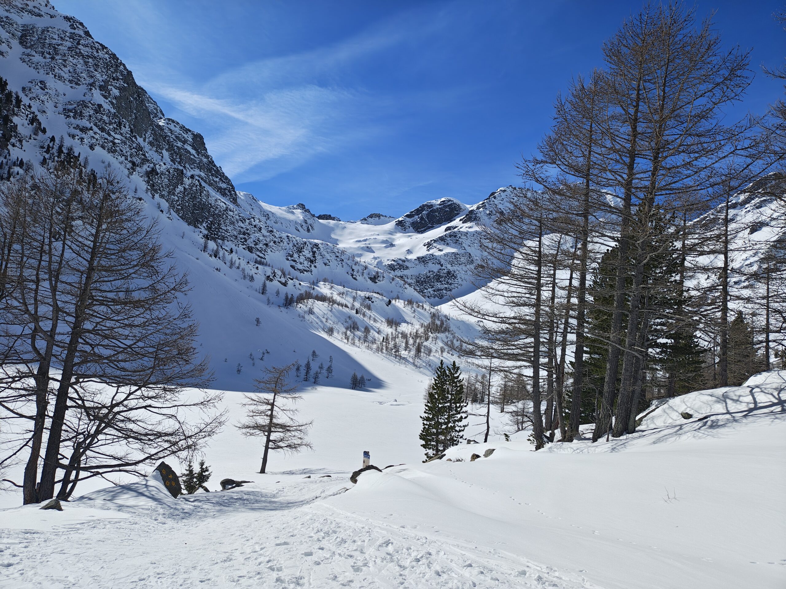
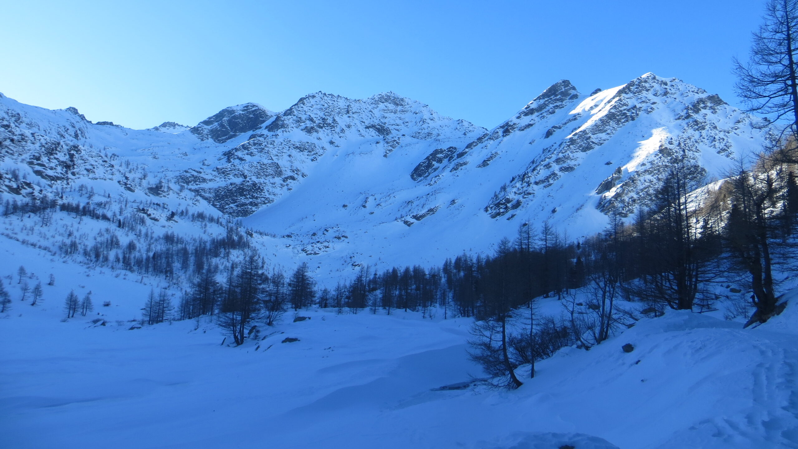
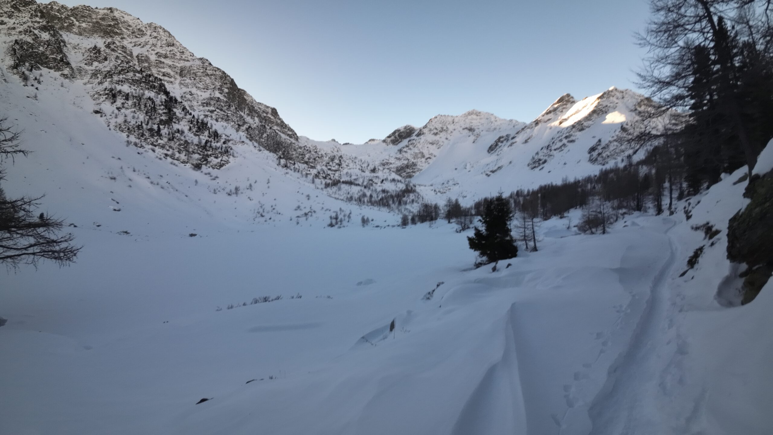
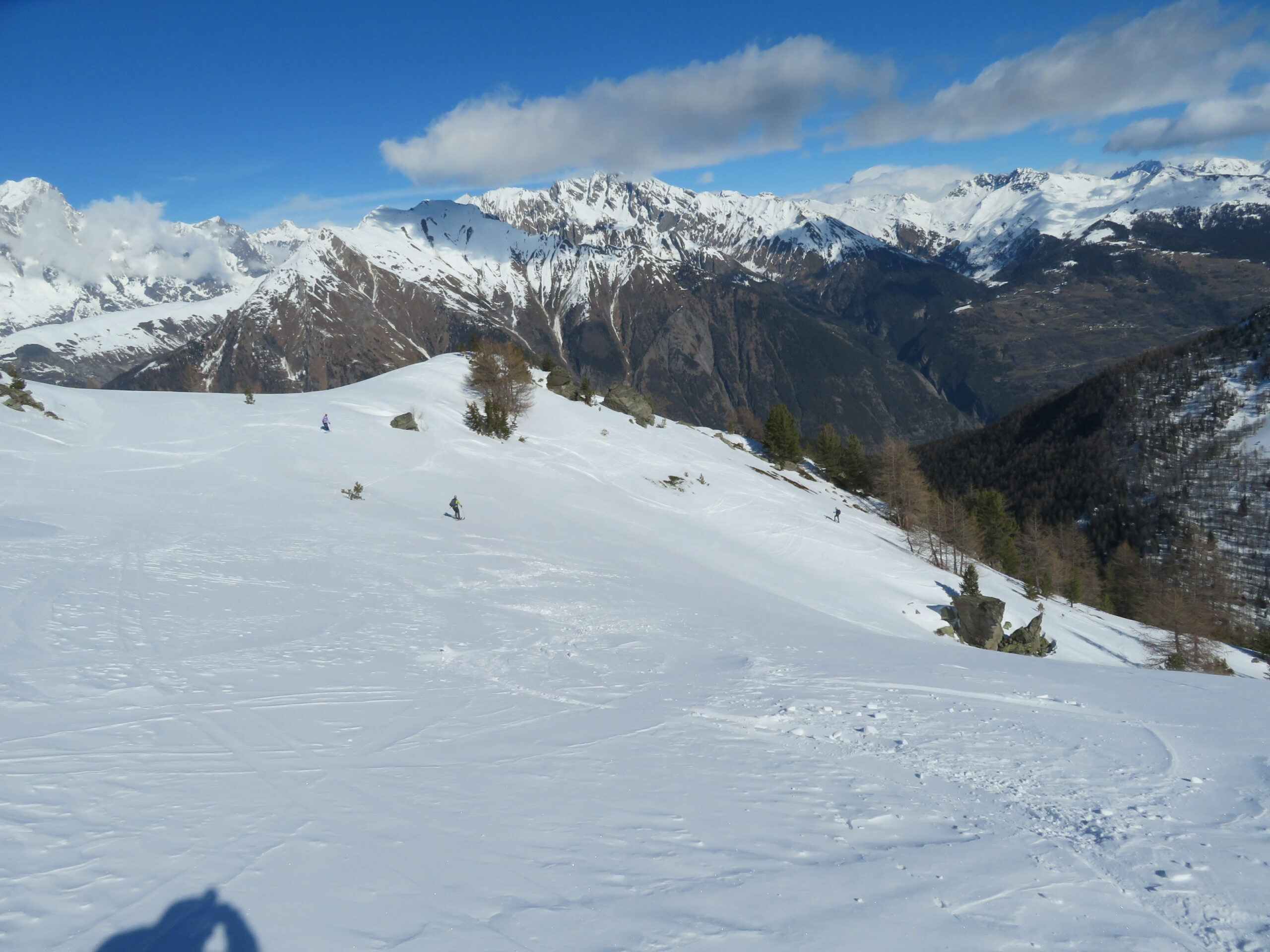
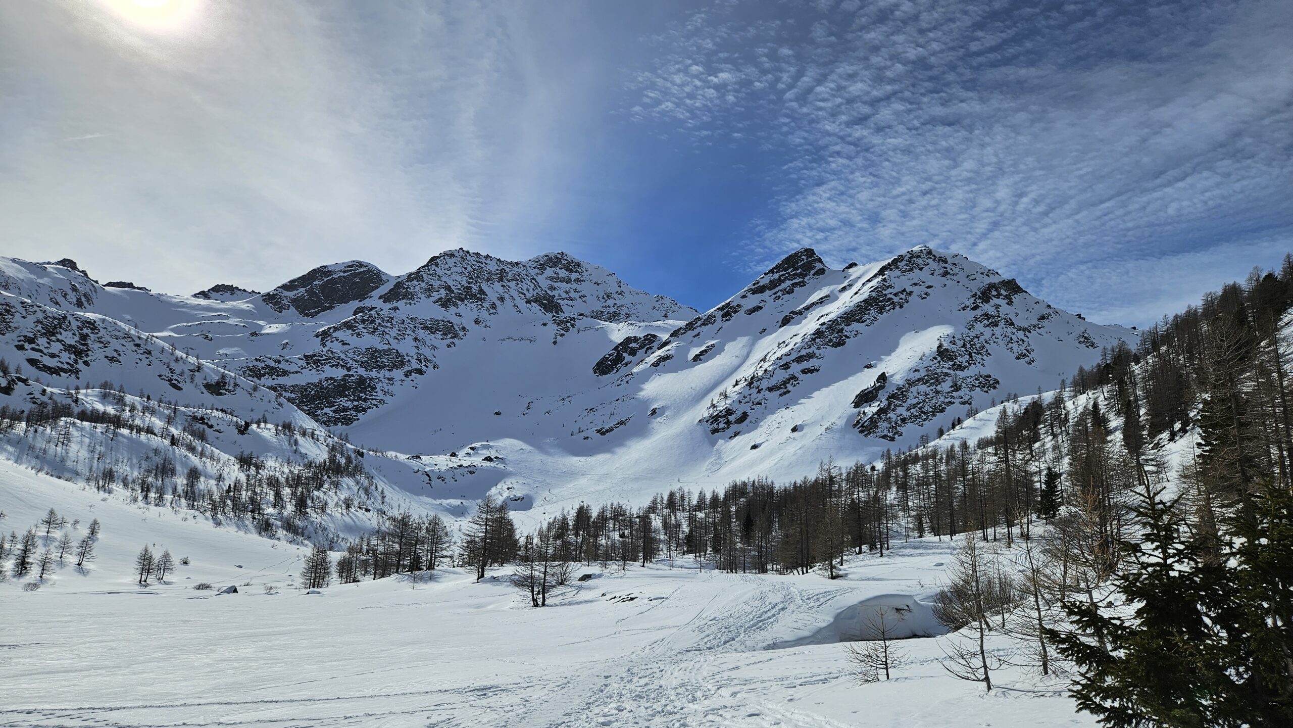
Risalire tra radi larici sino a raggiungere la strada proveniente dal col San Carlo ed il lago d’Arpy.
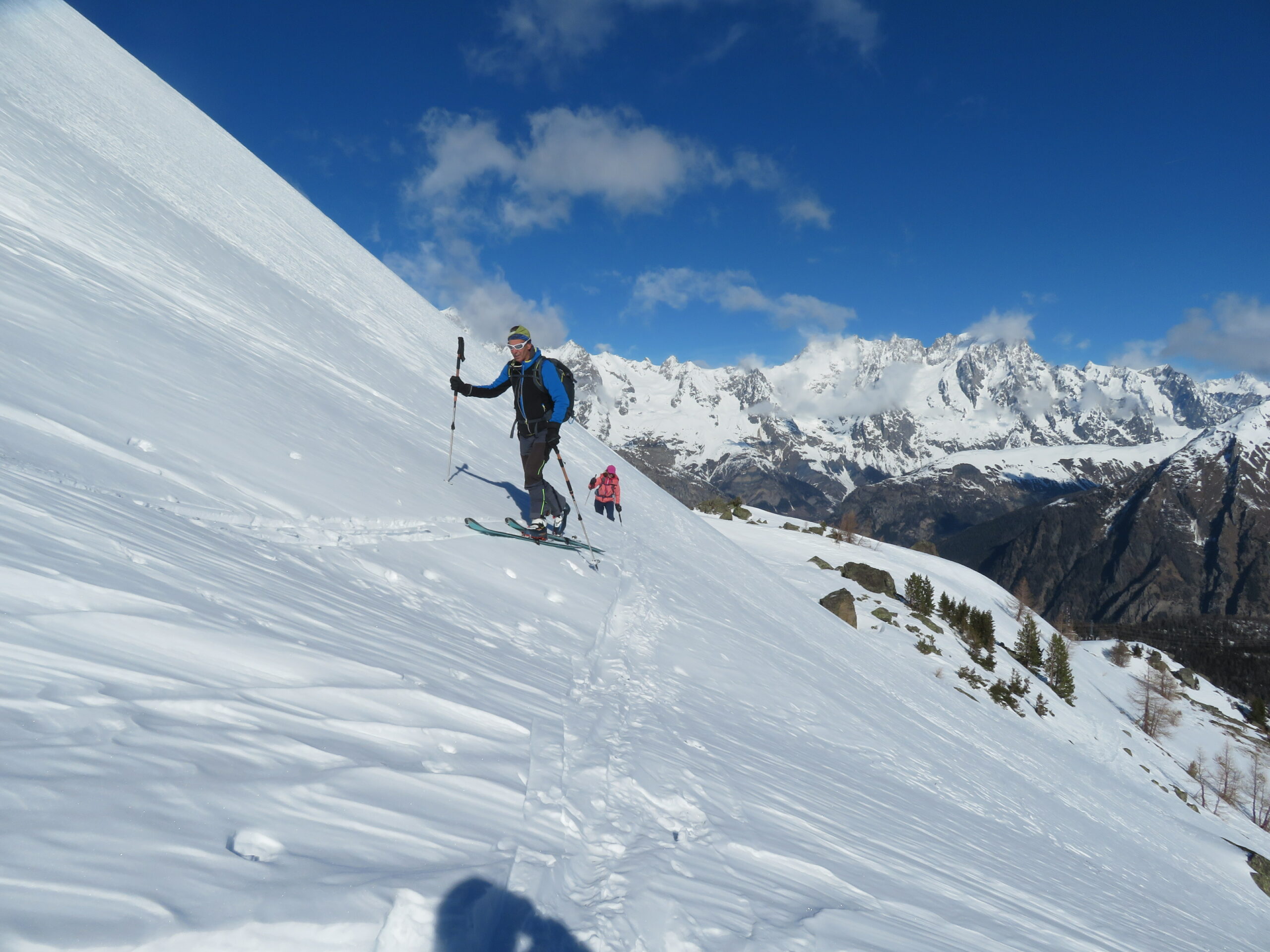
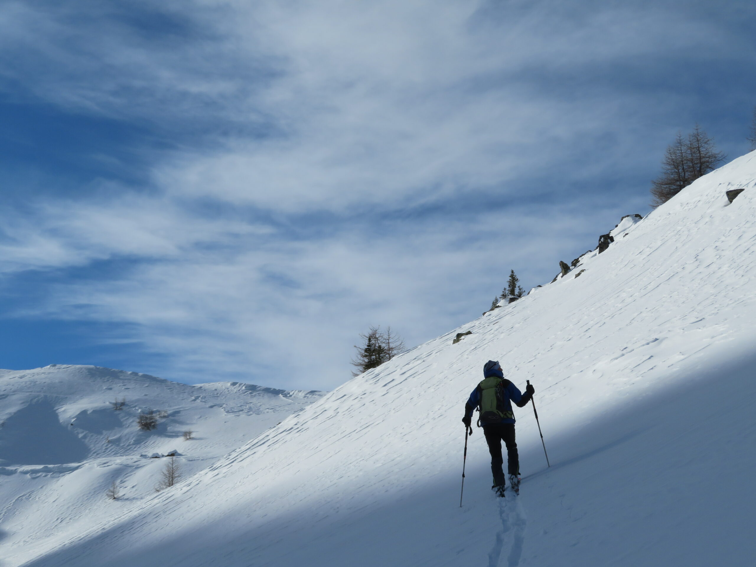
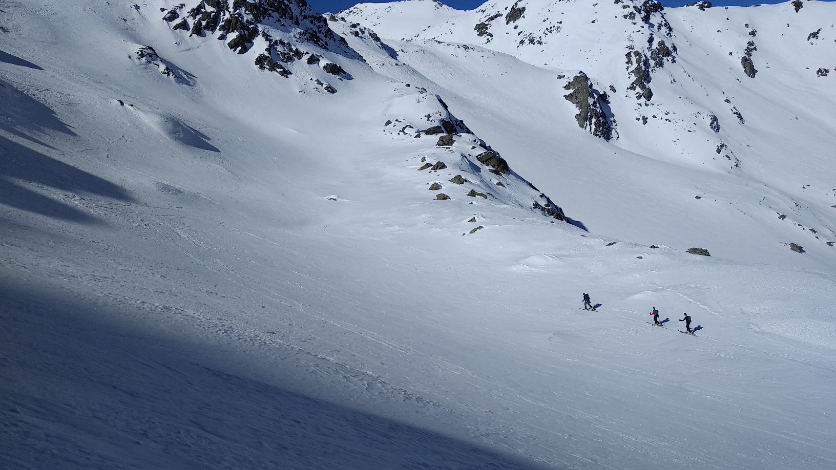
Costeggiare il lago sul lato destro (sx idrografica) per poi risalire bei pendii sino a raggiungere il colle della Croce.
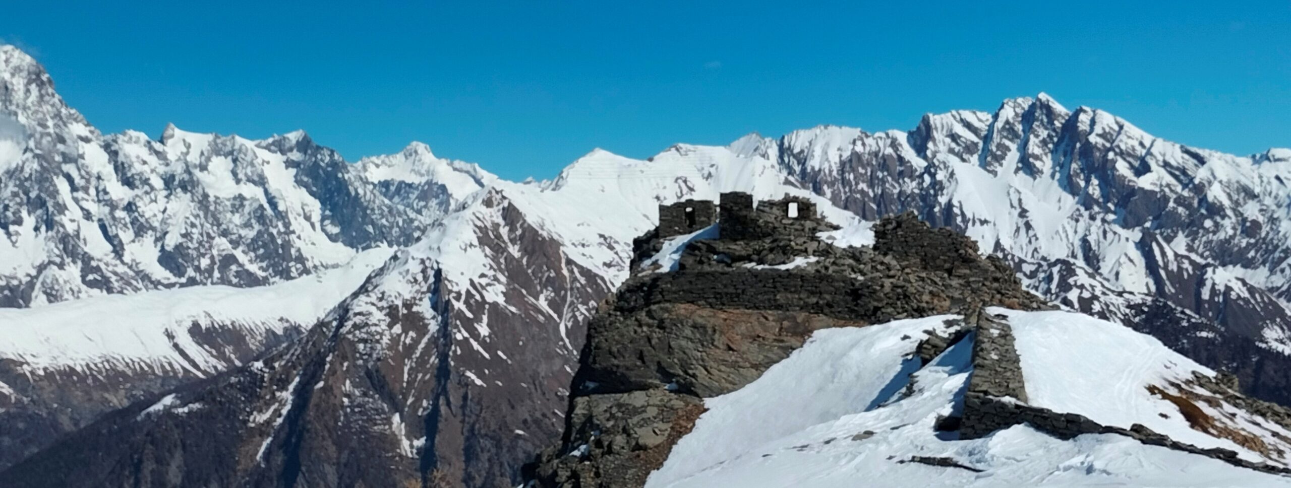
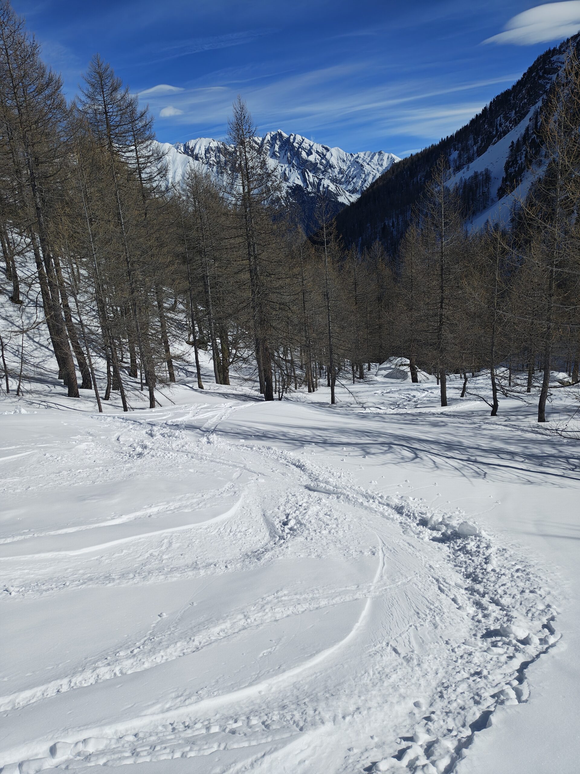
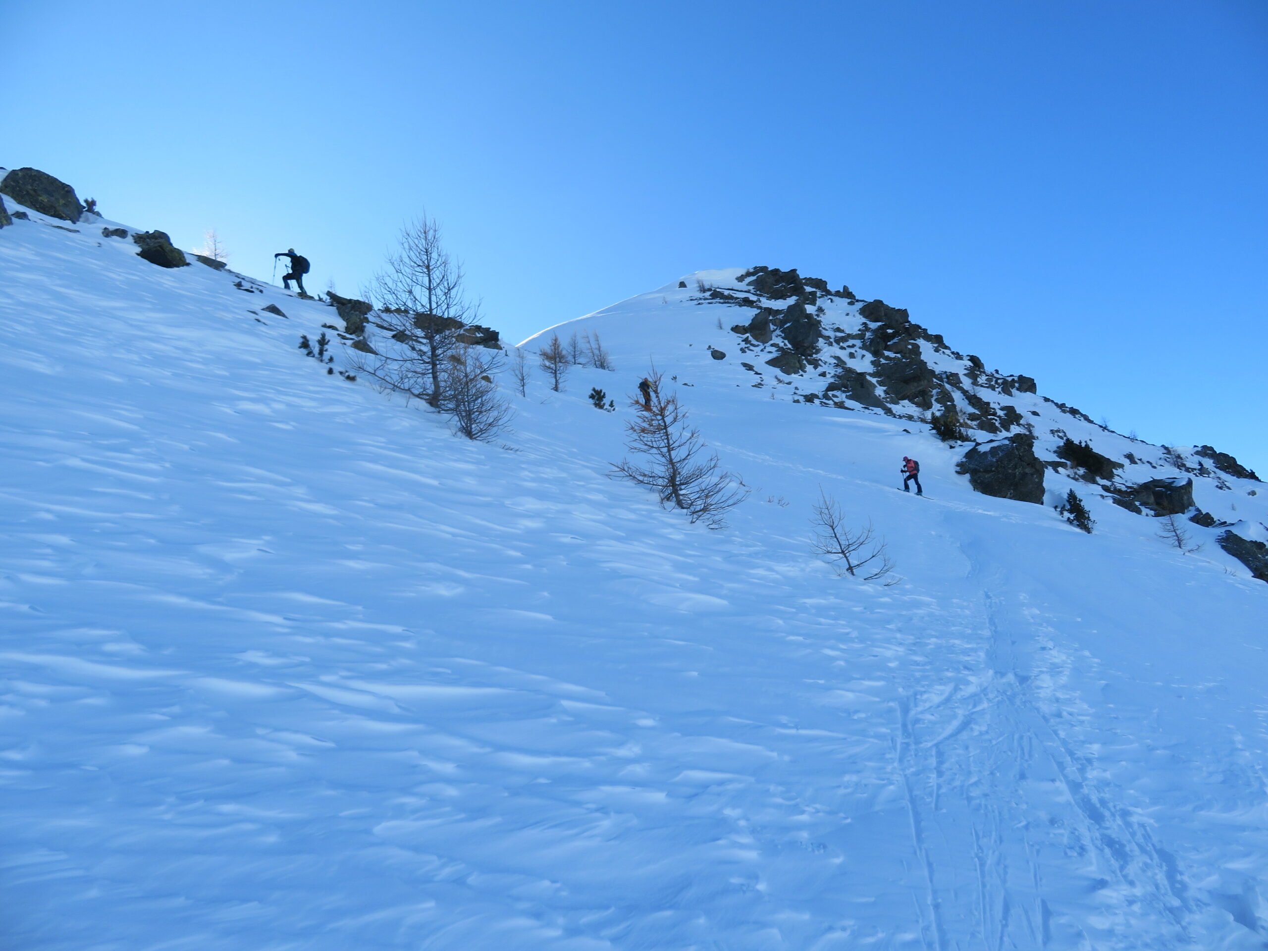
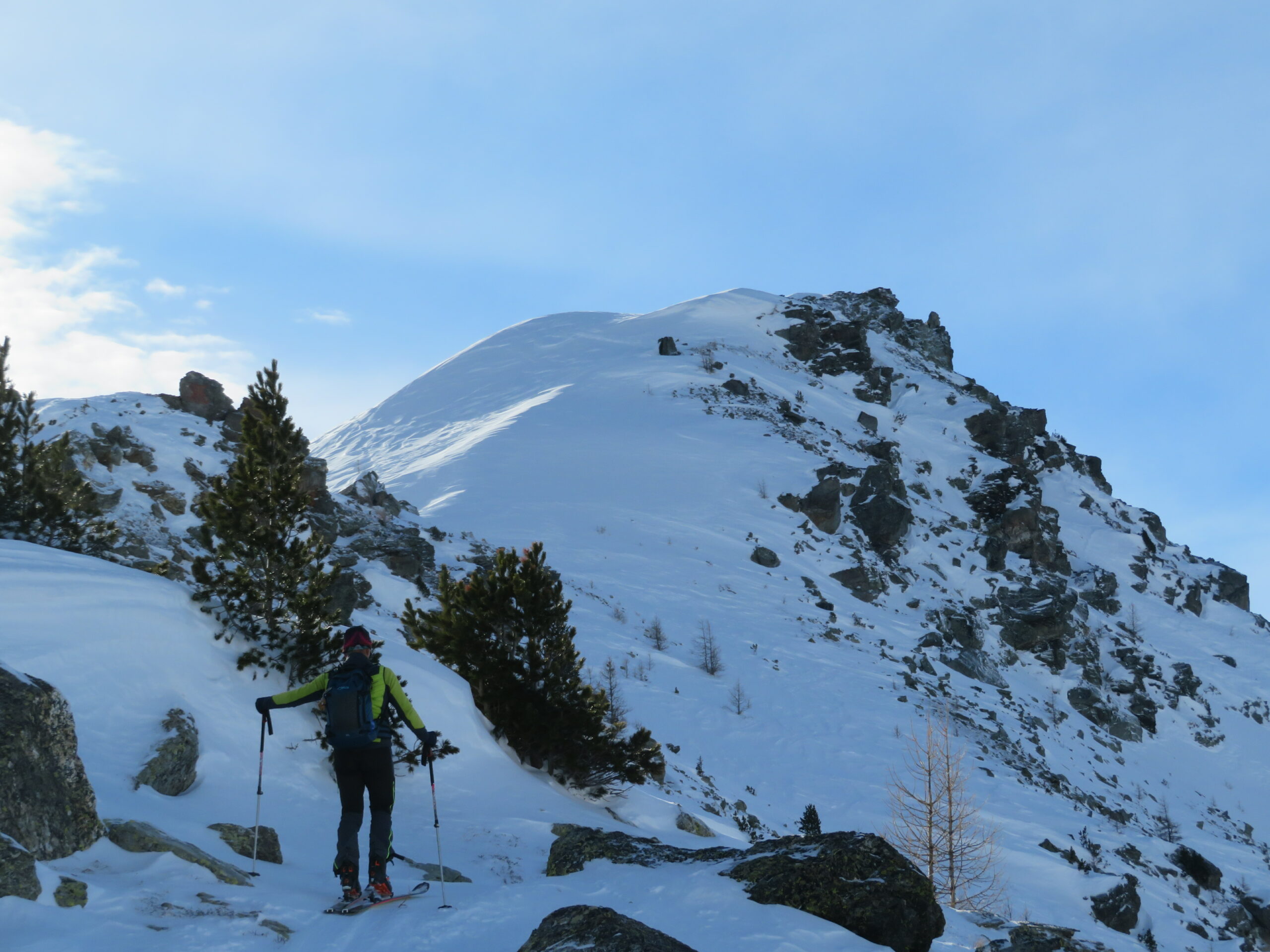
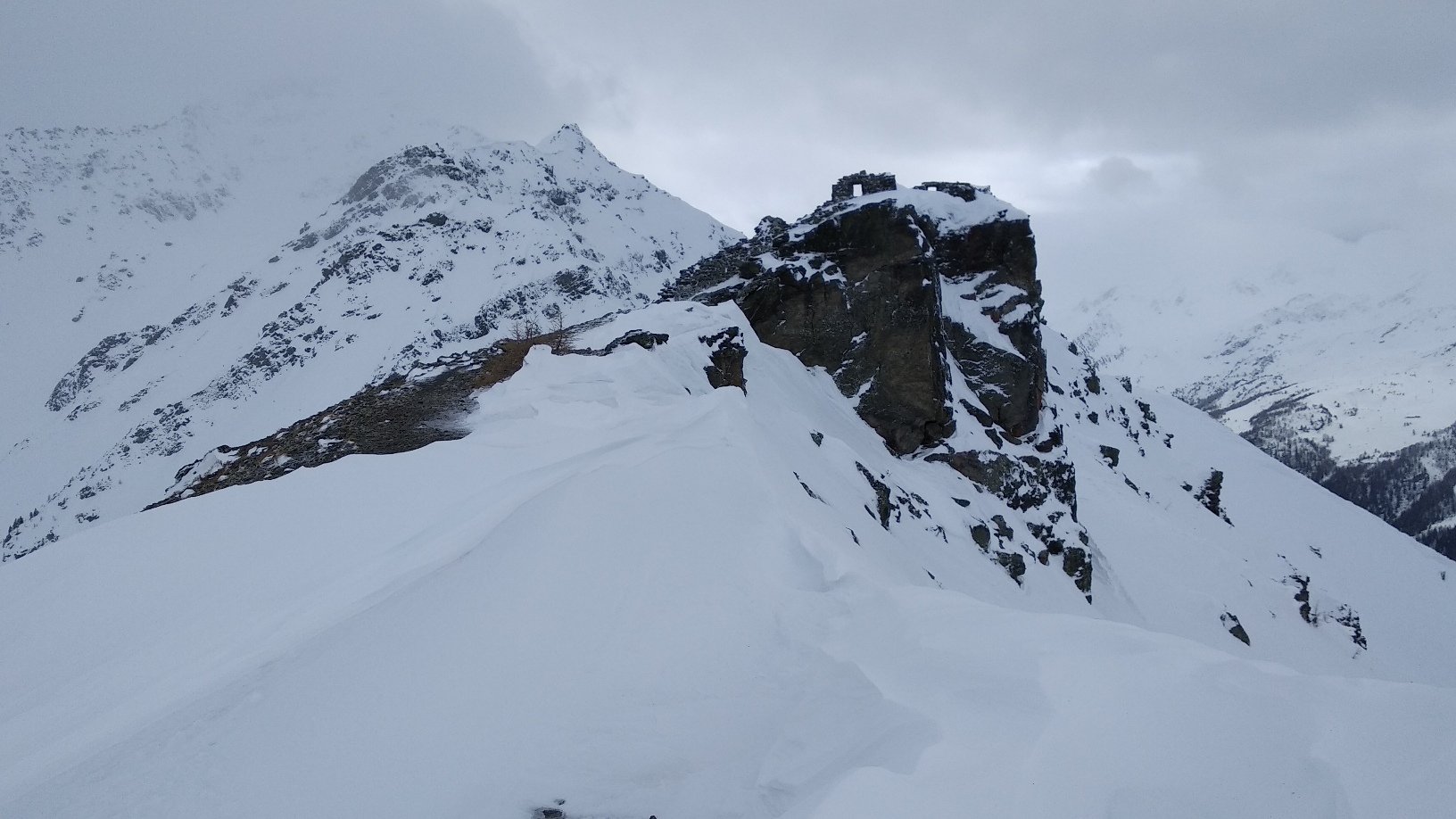
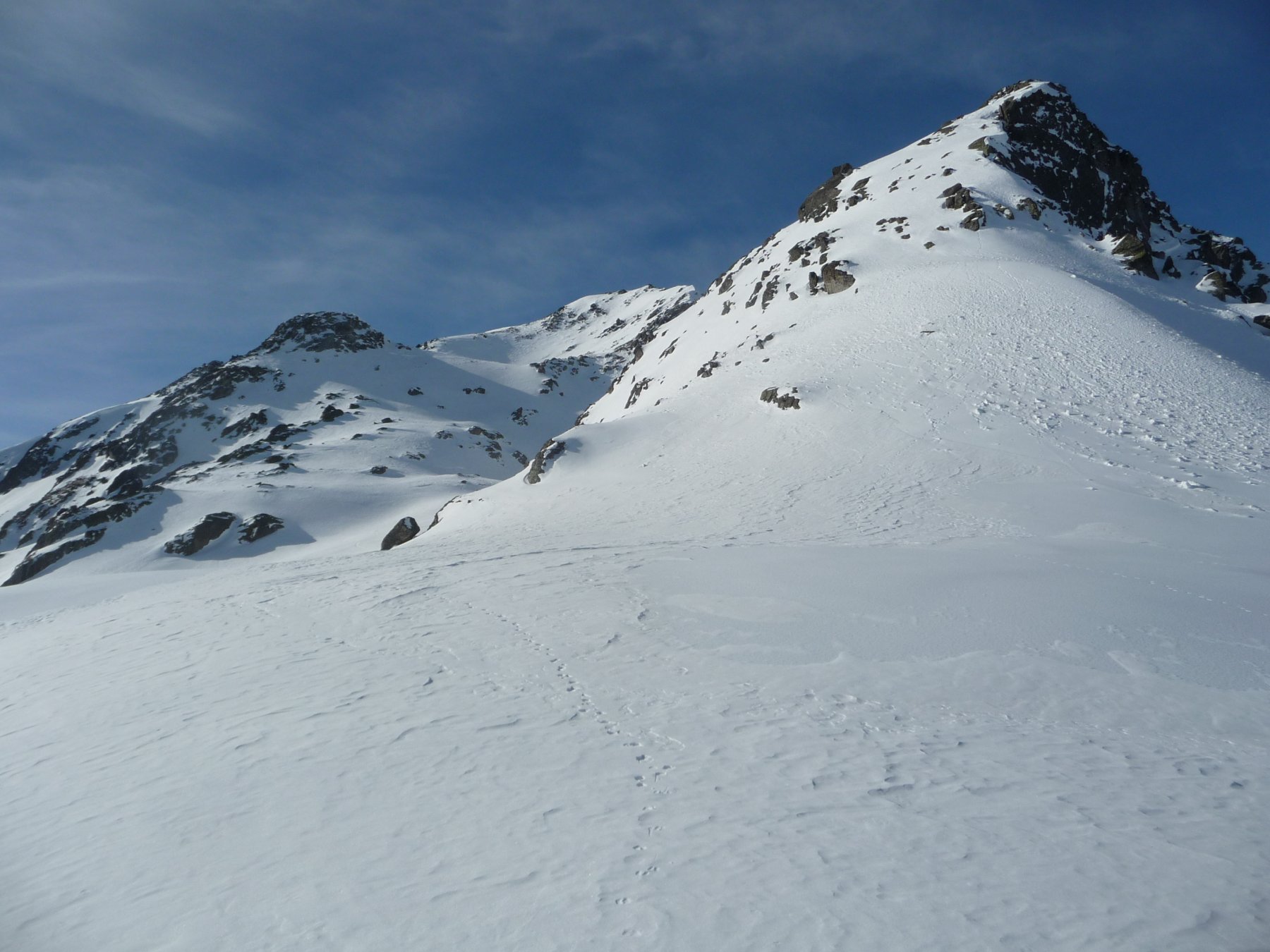
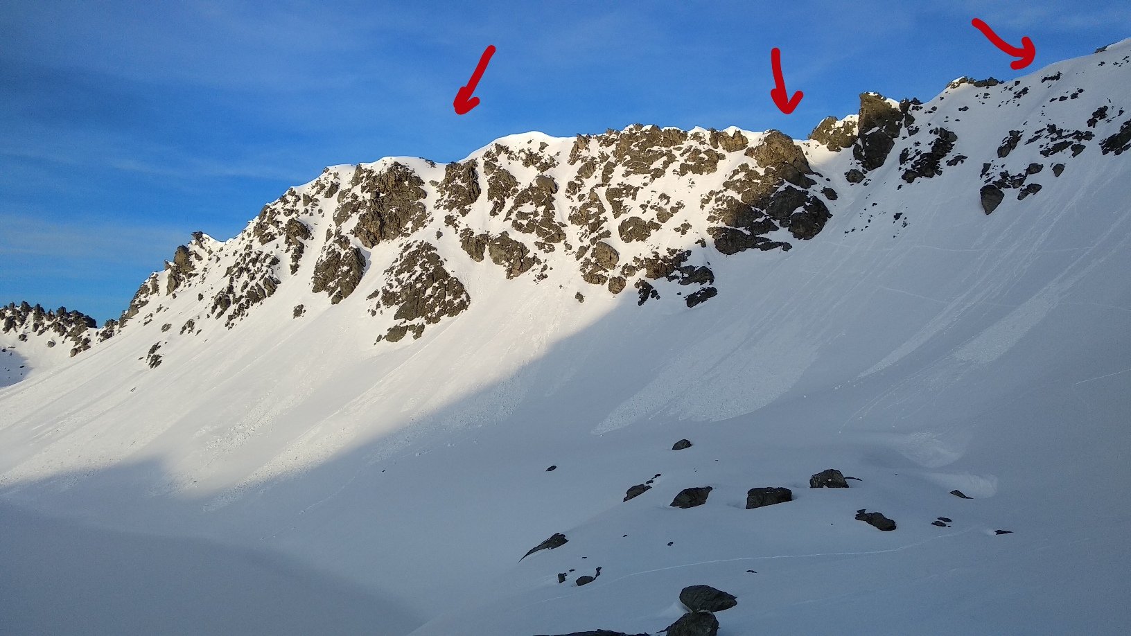
Dal colle, lungo l’ampia dorsale, si raggiunge la vetta su cui ci sono presenti dei resti di un fortino militare.
Con neve assestata si può raggiungere direttamente la vetta dal lago senza passare dal colle.
Nelle vicinanze Mappa
Itinerari
30/03/2019 AO, Morgex D+ 2550 m BS Varie
Pouegnenta o Pougnenta (Becca) da Arpy, anello colli Colmet, Leseney e Ameran
 50m
50m
05/05/2016 AO, Morgex D+ 1138 m BS Nord
Pouegnenta o Pougnenta (Becca) da Arpy
 50m
50m
01/05/2026 AO, Morgex D+ 1334 m BS Nord
Colmet (Mont) da Arpy
 50m
50m
19/04/2014 AO, Morgex D+ 1151 m BS Nord
Colmet (Col) da Arpy
 50m
50m
19/04/2019 AO, Morgex D+ 815 m OSA Nord
Charvet (Mont) da Arpy per la cresta nord
 50m
50m
17/04/2019 AO, Morgex D+ 1100 m BSA Nord-Ovest
Serra (Col de la) da Arpy
 50m
50m
08/03/2025 AO, La Thuile D+ 1200 m OSA, PD+ Nord
Lussè (Monte) dal Arpy per il Lago di Pietra Rossa
 50m
50m
26/01/2025 AO, Morgex D+ 1050 m MS Nord
Tenente Ticchioni (Ricovero) da Arpy
 50m
50m
20/01/2018 AO, Morgex D+ 1200 m MS Nord
Charvet (Mont) dalla strada del Colle San Carlo
 2.3Km
2.3Km
13/01/2018 AO, Morgex D+ 1100 m BS Nord
Folliet (Croce di) dalla strada per il Colle San Carlo
 2.3Km
2.3Km