3.8Km
3.8Km

Note
 50m
2.3Km
2.3Km
2.3Km
2.3Km
2.3Km
2.3Km
2.3Km
2.3Km
2.3Km
50m
2.3Km
2.3Km
2.3Km
2.3Km
2.3Km
2.3Km
2.3Km
2.3Km
2.3Km
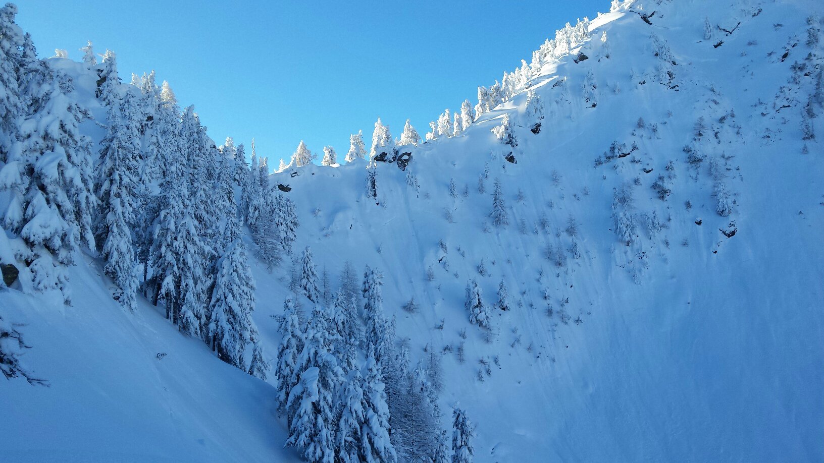
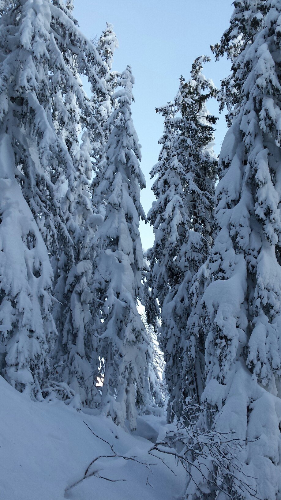
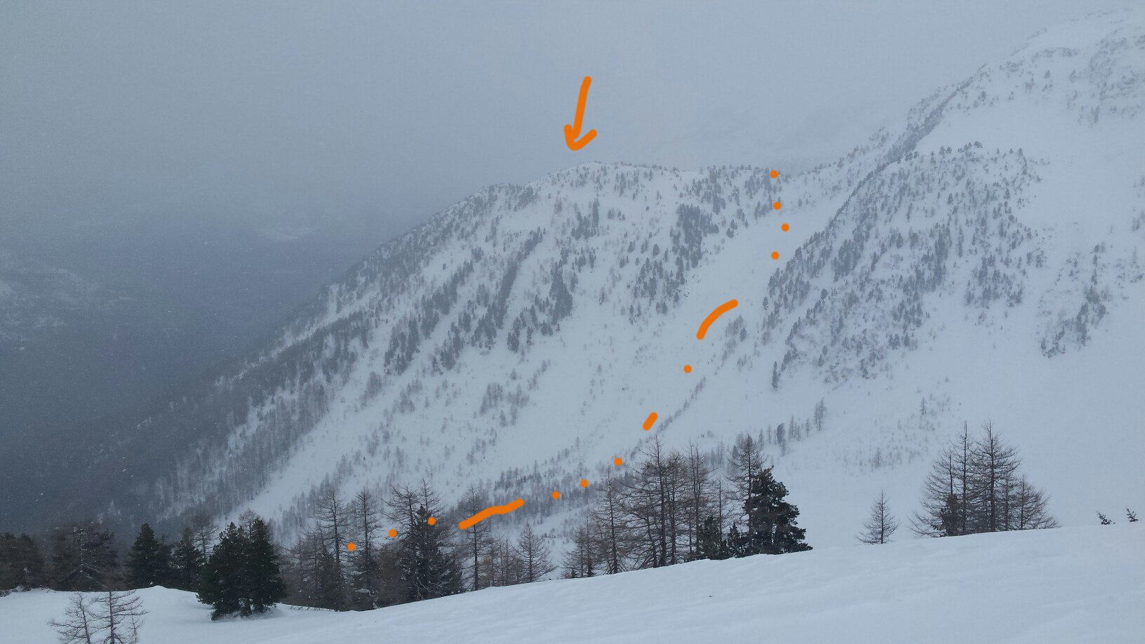
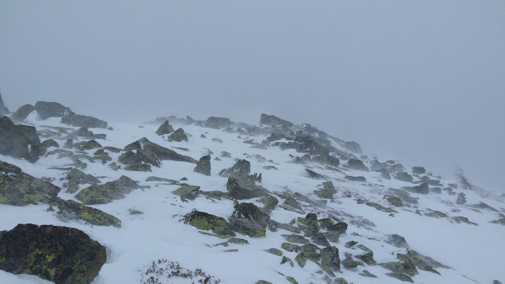
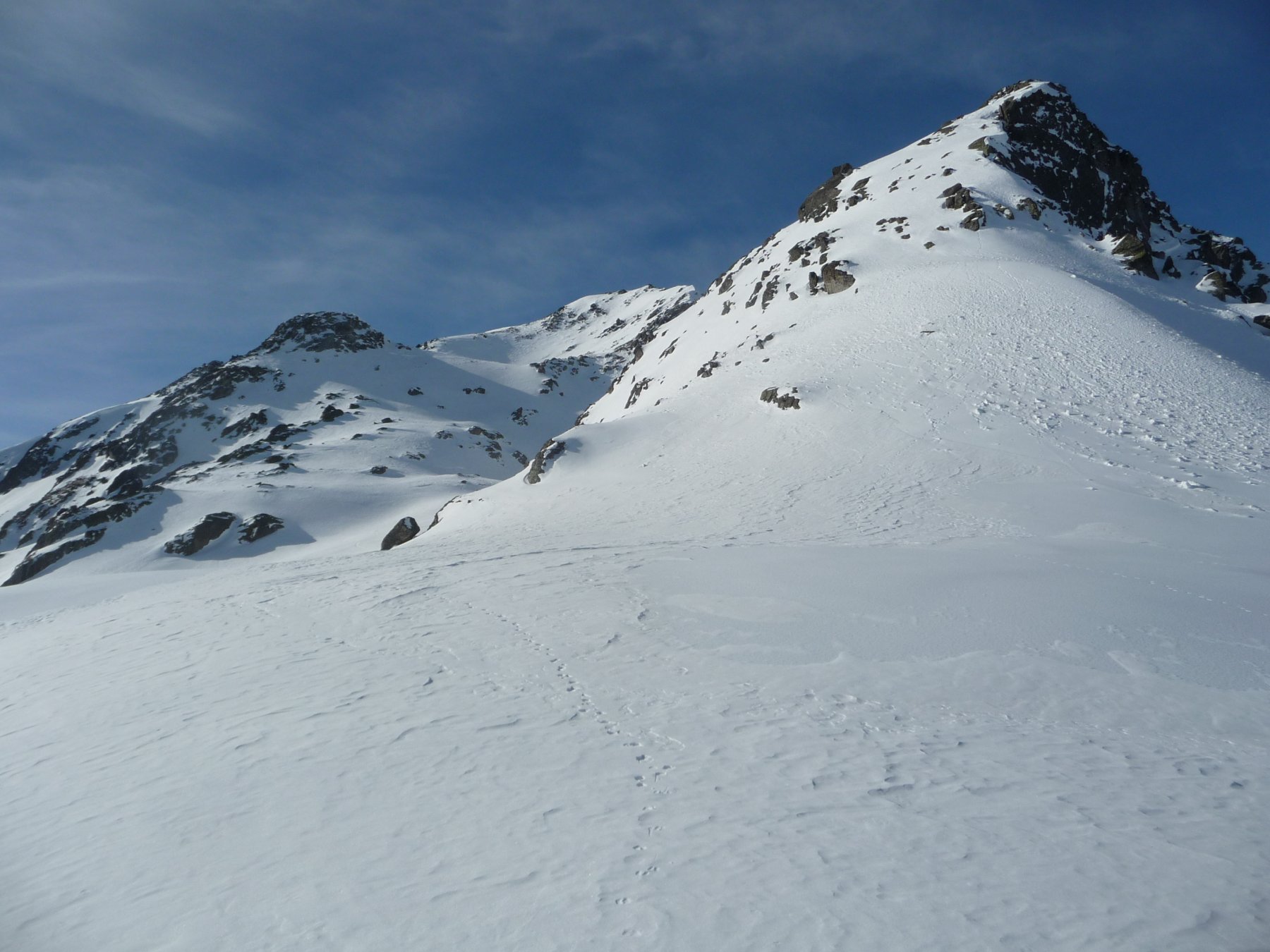
Bosco fitto. Pendio finale soggetto a valanga.
Avvicinamento
Da Morgex, seguire la strada del col San Carlo fino a trovare sulla propria sx il bivio della poderale che sale a Costablinaz.
Descrizione
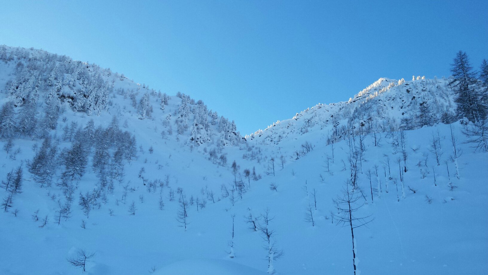
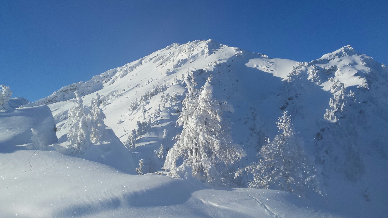
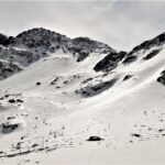
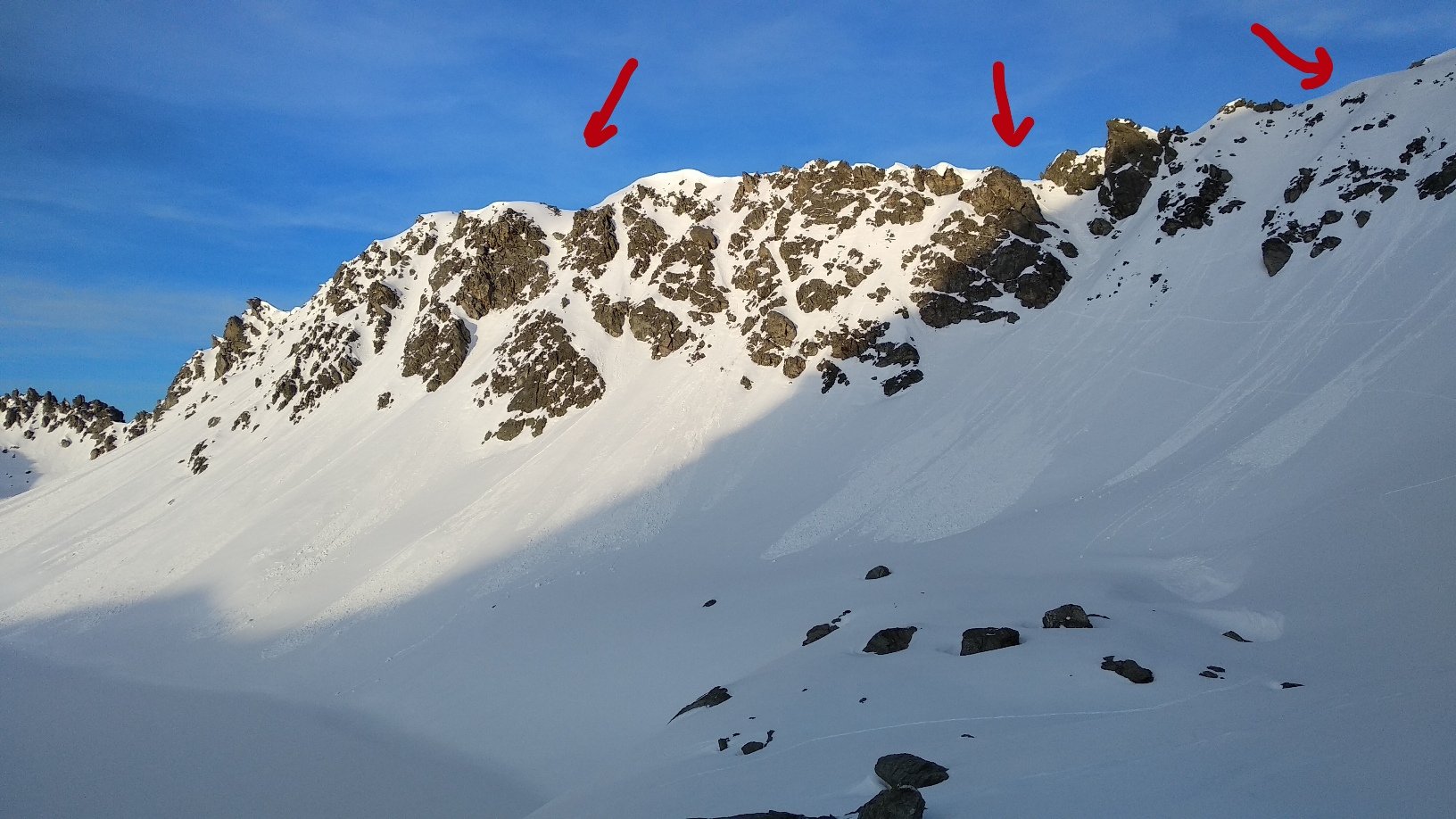
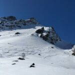
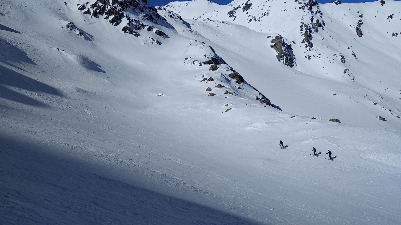
Lasciata l’auto, seguire la poderale fino al primo bivio e voltare a sx per raggiungere la frazione Costablinaz inferiore. Continuare a salire nel bosco verso est fino a Costablinaz di mezzo. Un canale poco alberato raccorda le due prese d’acqua e permette di salire – un po’ a fatica – fino a Plan Ru e poi a Plan Rancon. Uscendo nel pianoro, il colle è visibile a est. Ultimo tratto ripido e soggetto a valanga prima del colle. Una volta giunti sulla dorsale, si sale facilmente sul dosso che sovrasta la croce.
Nelle vicinanze Mappa
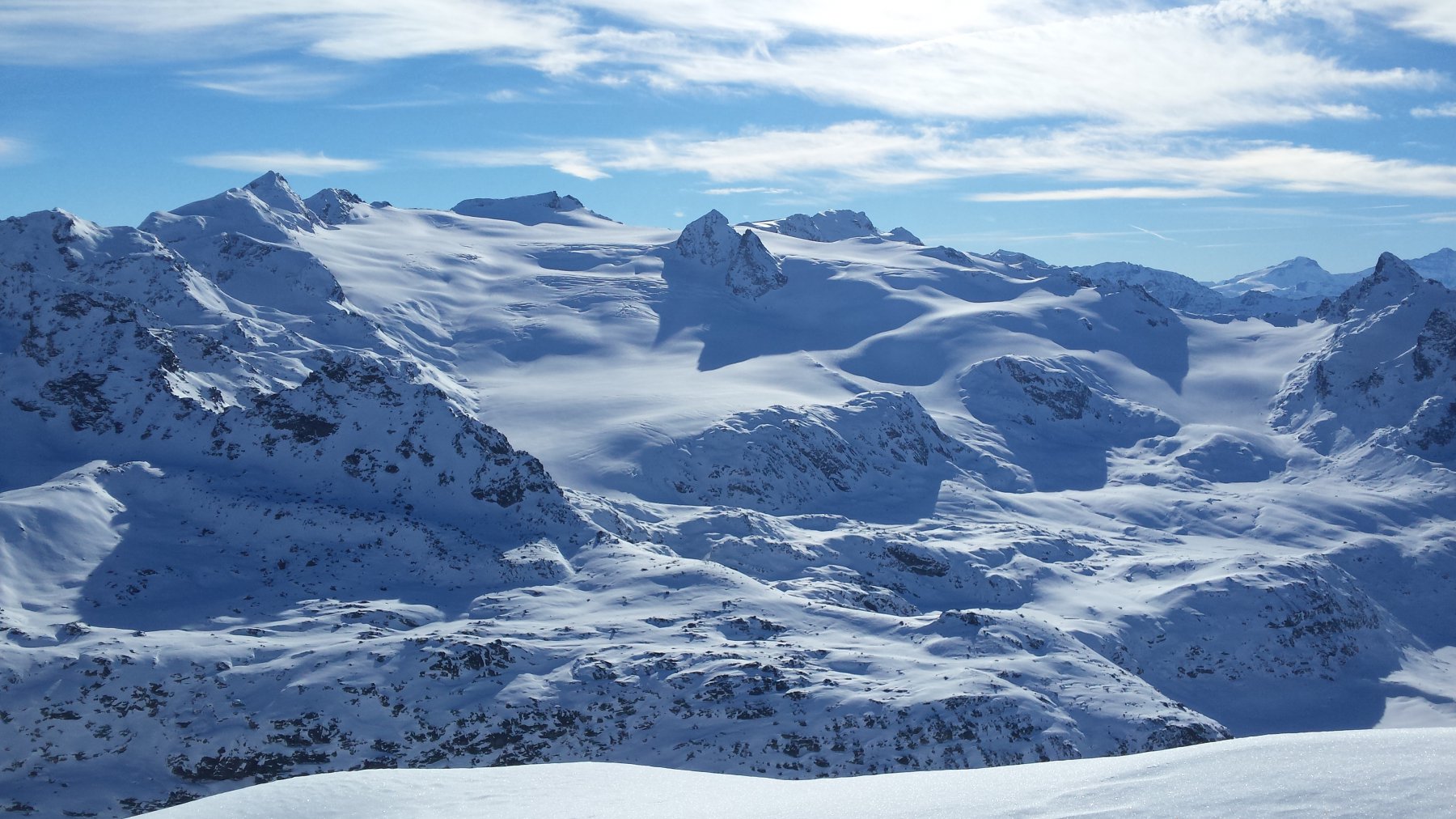
Itinerari
20/01/2018 AO, Morgex D+ 1200 m MS Nord
Charvet (Mont) dalla strada del Colle San Carlo
 50m
50m
26/01/2025 AO, Morgex D+ 1050 m MS Nord
Tenente Ticchioni (Ricovero) da Arpy
 2.3Km
2.3Km
08/03/2025 AO, La Thuile D+ 1200 m OSA, PD+ Nord
Lussè (Monte) dal Arpy per il Lago di Pietra Rossa
 2.3Km
2.3Km
17/04/2019 AO, Morgex D+ 1100 m BSA Nord-Ovest
Serra (Col de la) da Arpy
 2.3Km
2.3Km
19/04/2019 AO, Morgex D+ 815 m OSA Nord
Charvet (Mont) da Arpy per la cresta nord
 2.3Km
2.3Km
01/05/2026 AO, Morgex D+ 1334 m BS Nord
Colmet (Mont) da Arpy
 2.3Km
2.3Km
05/05/2016 AO, Morgex D+ 1138 m BS Nord
Pouegnenta o Pougnenta (Becca) da Arpy
 2.3Km
2.3Km
05/04/2026 AO, Morgex D+ 788 m MS Nord-Est
Croce (Punta e Colle della) da Arpy
 2.3Km
2.3Km
30/03/2019 AO, Morgex D+ 2550 m BS Varie
Pouegnenta o Pougnenta (Becca) da Arpy, anello colli Colmet, Leseney e Ameran
 2.3Km
2.3Km
19/04/2014 AO, Morgex D+ 1151 m BS Nord
Colmet (Col) da Arpy
 2.3Km
2.3Km