750m
750m

Note
 0m
50m
50m
50m
50m
200m
200m
200m
900m
1.1Km
0m
50m
50m
50m
50m
200m
200m
200m
900m
1.1Km
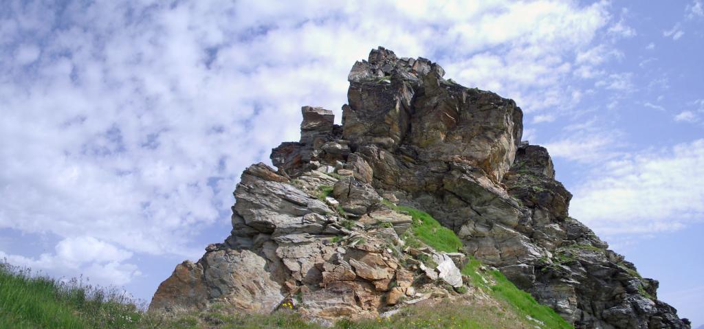
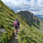
Lungo giro ad anello, che permette di toccare le cime dello spartiacque tra il vallone di Planaval e quello di Vertosan. Una buona parte del percorso si sviluppa fuori sentiero ma non ci sono difficoltà (consigliabile con buona visibilità).
Nessuna delle cime è obbligatoria, si può interrompere il giro in qualsiasi punto.
Avvicinamento
Nessuna delle cime è obbligatoria, si può interrompere il giro in qualsiasi punto.
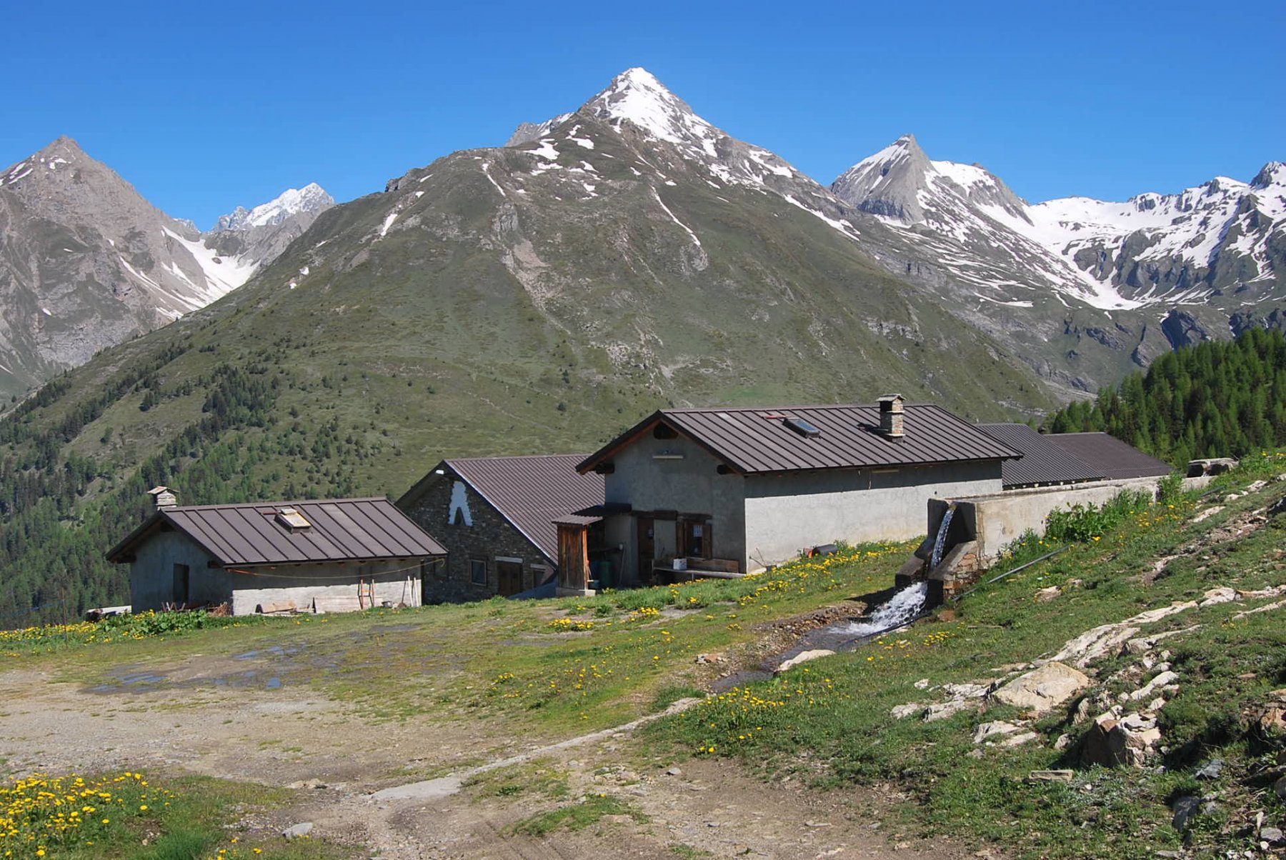
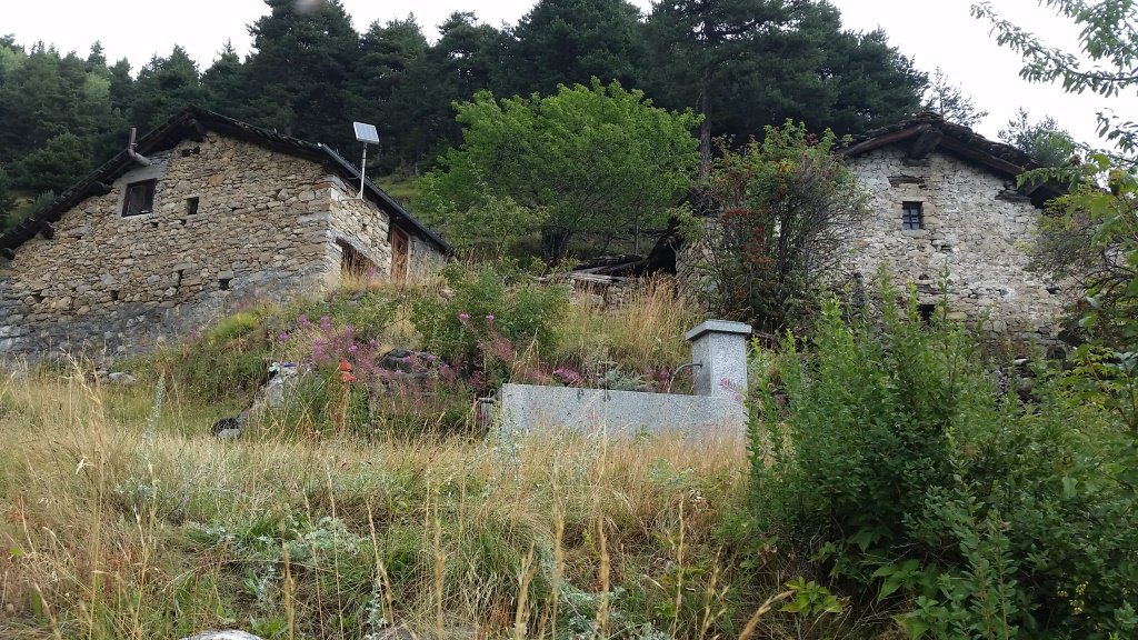
Autostrada Torino-Aosta uscita Morgex per poi dirigersi a La Salle, oppure SS26 da Aosta fino a La Salle. Da qui salire alle frazioni alte (indicazioni Morge-Challancin-Planaval). Giunti a Morge si posteggia in uno dei numerosi ed ampi posteggi asfaltati lungo la strada (i primi sono per le escursioni verso il vallone di Licony).
Partenza alternativa da Challancin (più lungo).
Descrizione
Partenza alternativa da Challancin (più lungo).
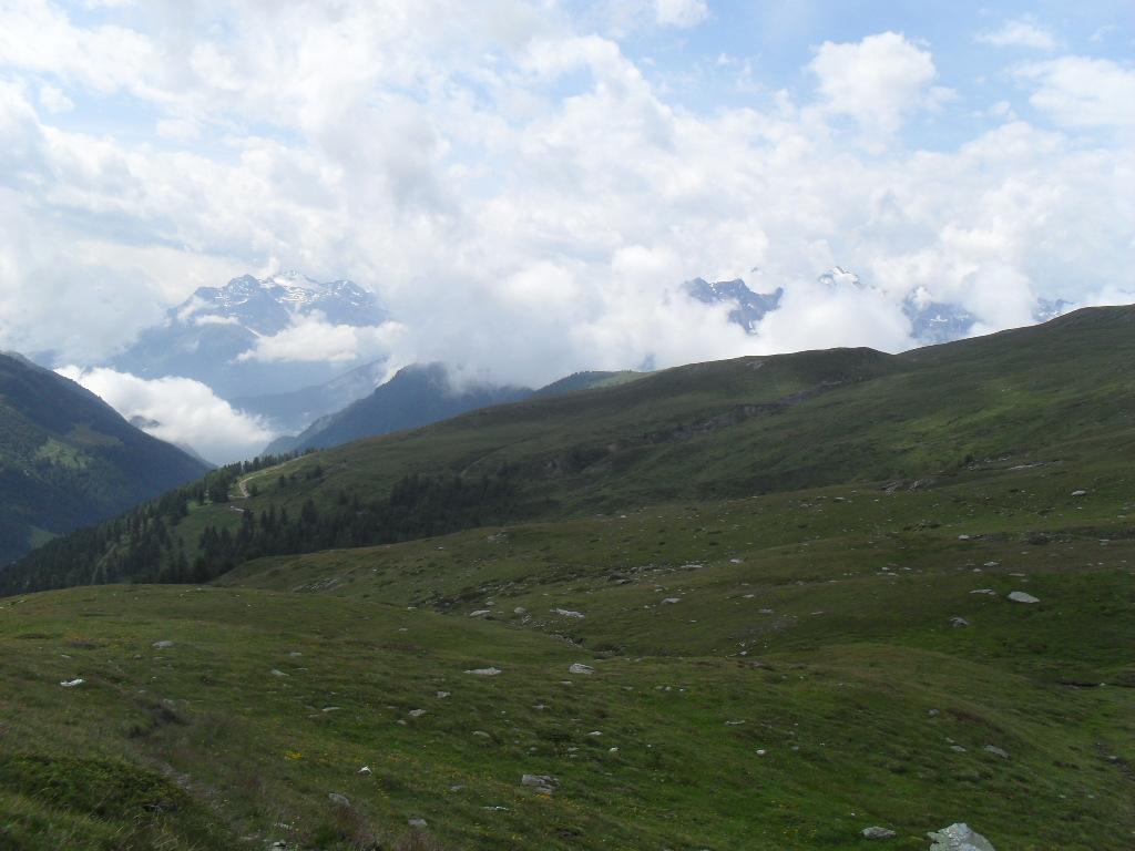
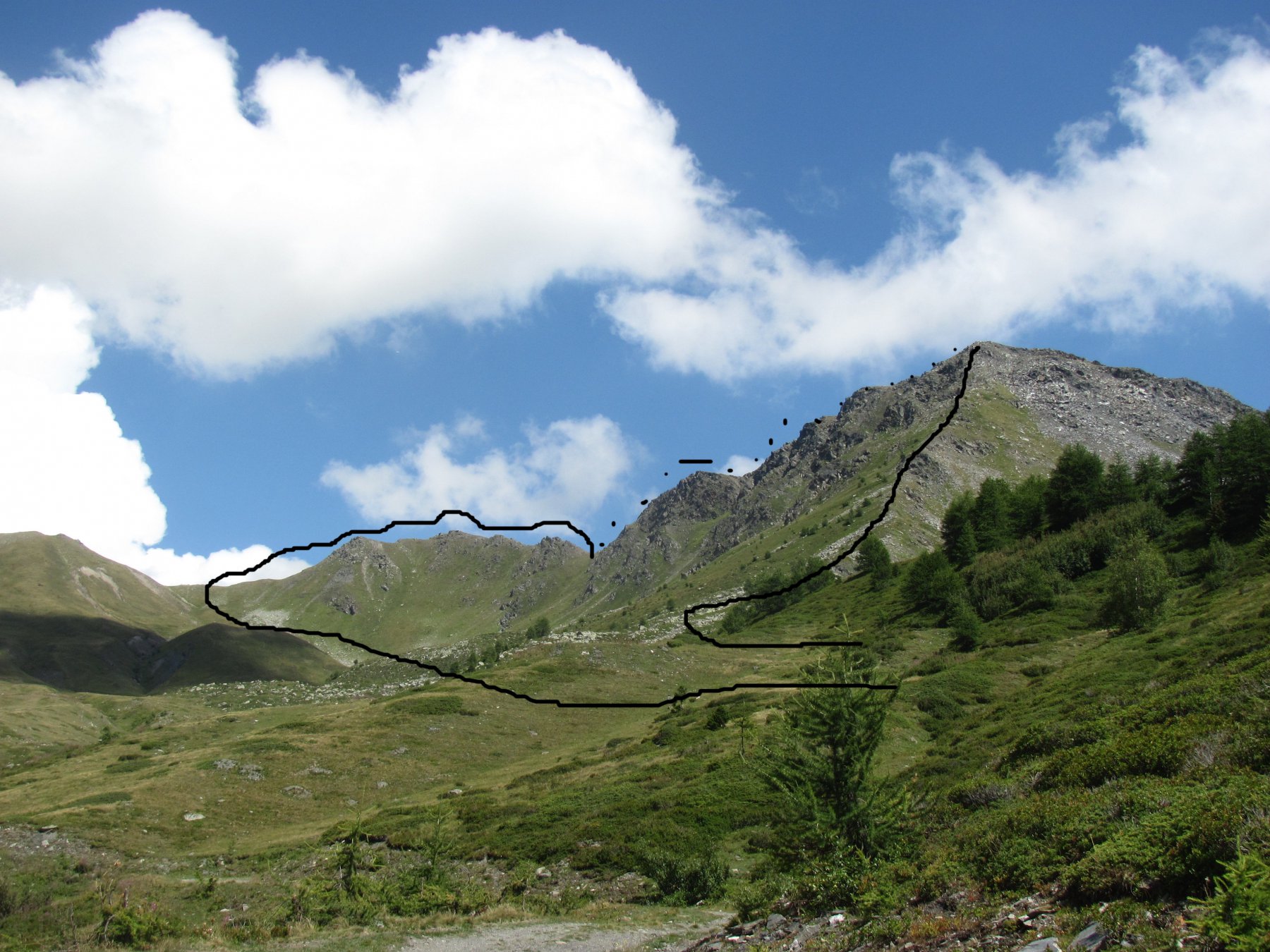
Da Morge, in prossimità degli ultimi posteggi, si incontra una sterrata sulla destra diretta a les Ors (sentiero n.3, poche indicazioni). La si segue fino ad incontrare un sentiero sulla sinistra che consente di evitarne un tratto. Successivamente la si ritrova e va seguita nuovamente superando una serie di tornanti ravvicinati.
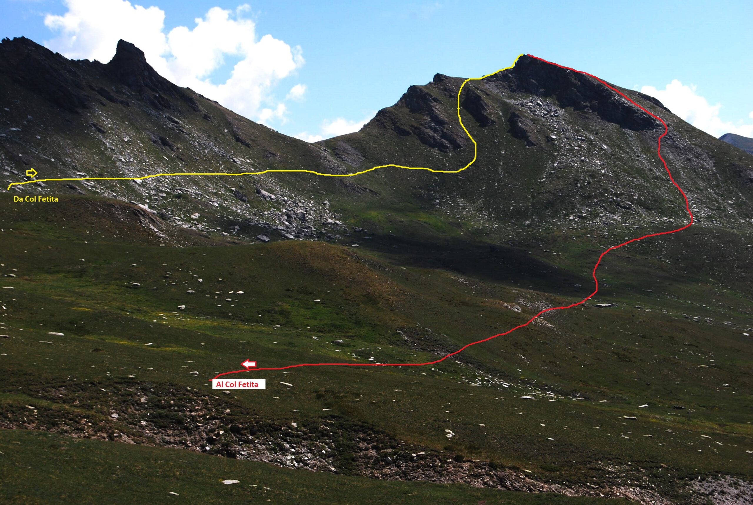
Quando a sinistra si stacca una pista inerbita, poco sotto les Ors 2100 m (non si vede l’alpeggio) è possibile abbandonarla in via definitiva entrando nel vallone pascolivo passando accanto a due baite diroccate e proseguendo fino ad una presa dell’acqua. Da qui per prati e dossi si punta all’evidente valloncello che addurrà al Col Fetita, restando non distanti dal ruscello. Alternativamente si segue con percorso più lungo e monotono fedelmente o quasi la pista sterrata. In entrambi i casi si raggiunge l’alpeggio Tramail des Ors 2384 m, dove la pista termina.
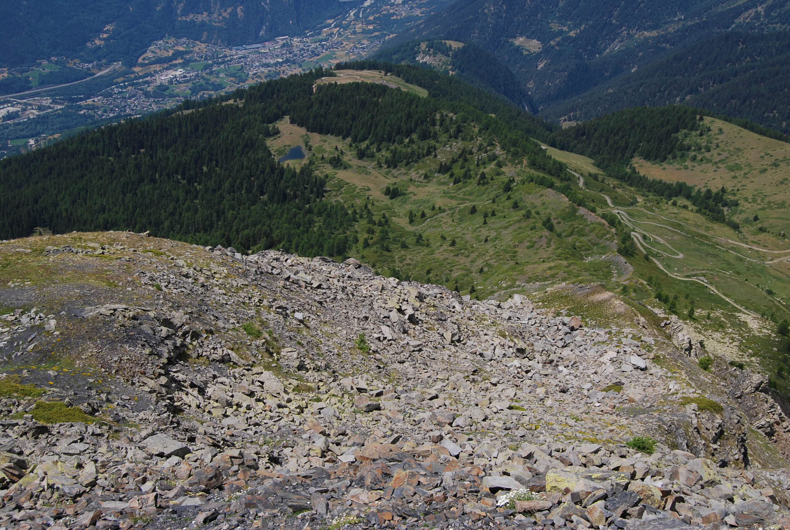
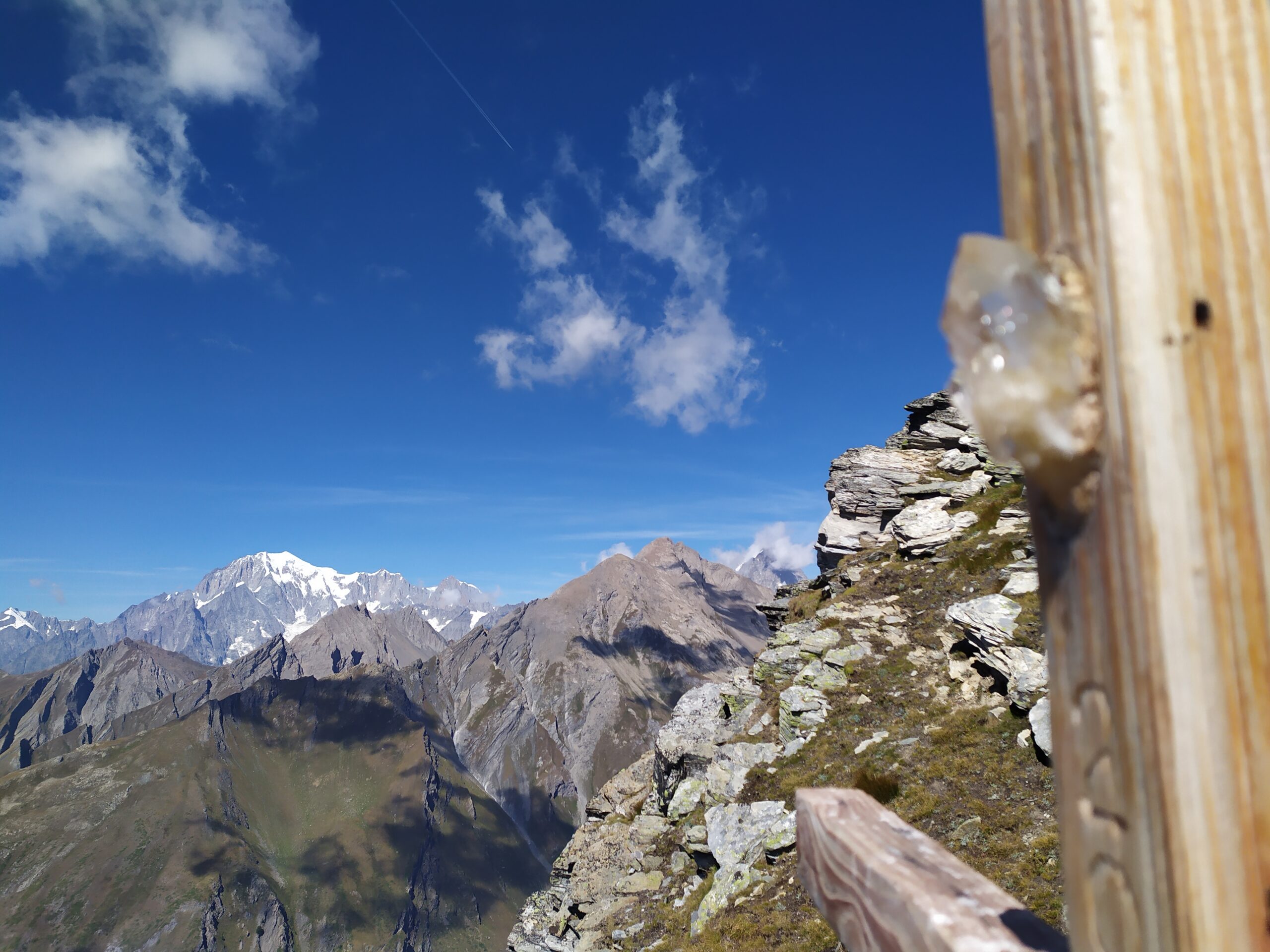
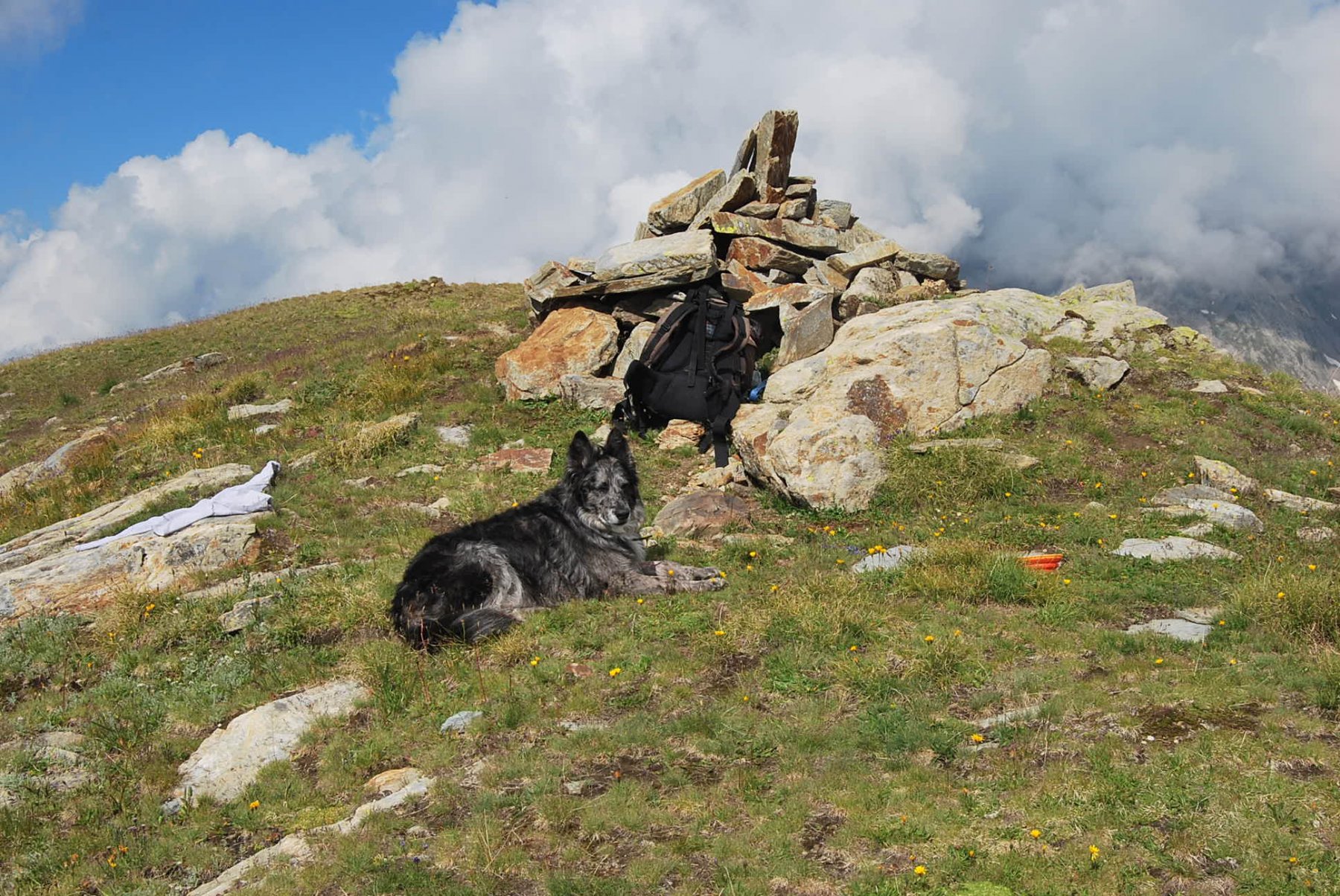
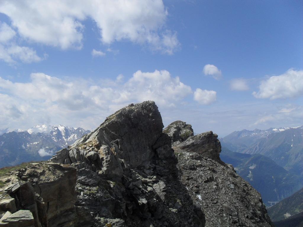
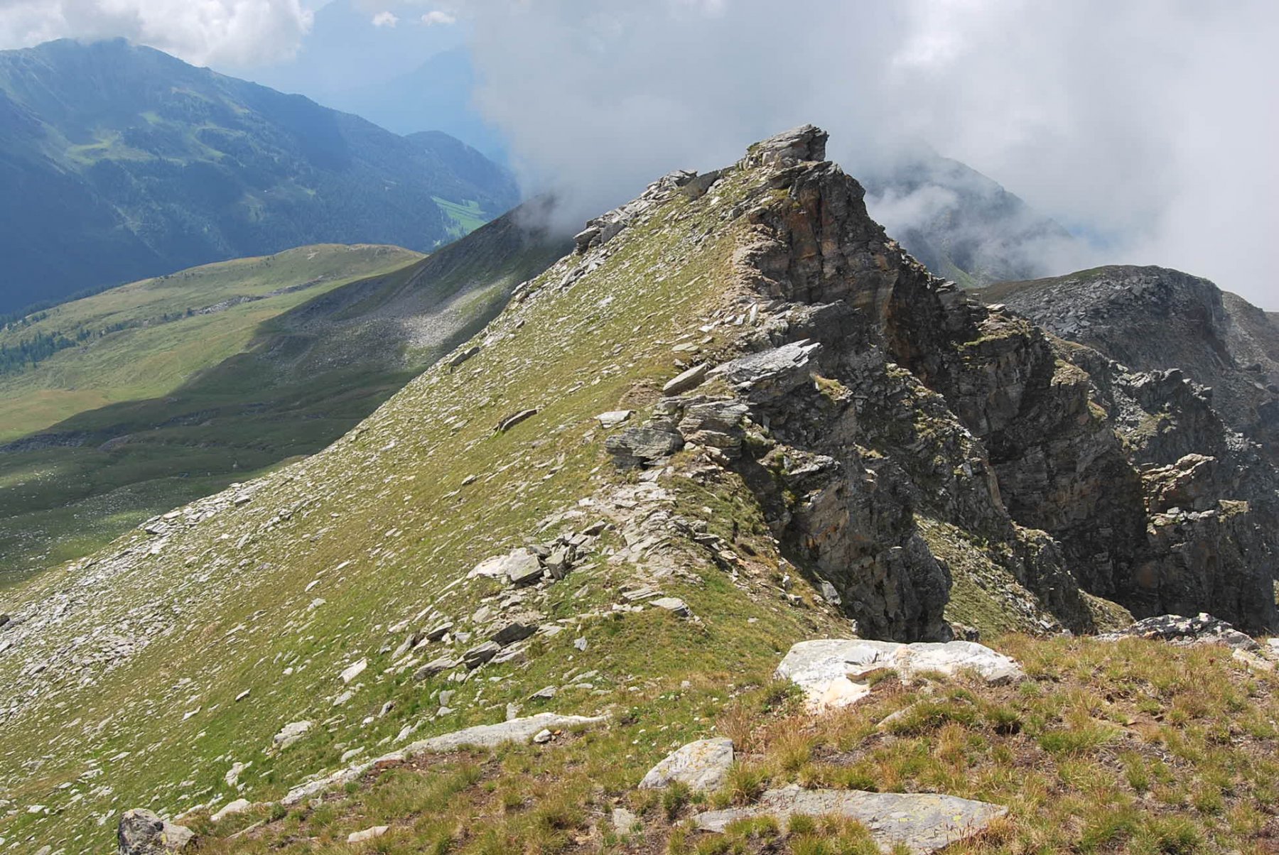
Da qui si stacca il marcato sentiero in diagonale verso destra, che dopo aver passato una sorgente, raggiunge il Col Fetita 2557 m. Per salire la vicina Punta Fetita, a destra, si segue un sentiero a mezza costa sul versante di Morge, che in seguito diventa un po’ aereo ma attrezzato con delle corde, raggiunto il crinale nord della cima, con un ultimo strappo si arriva in vetta 2693 m.
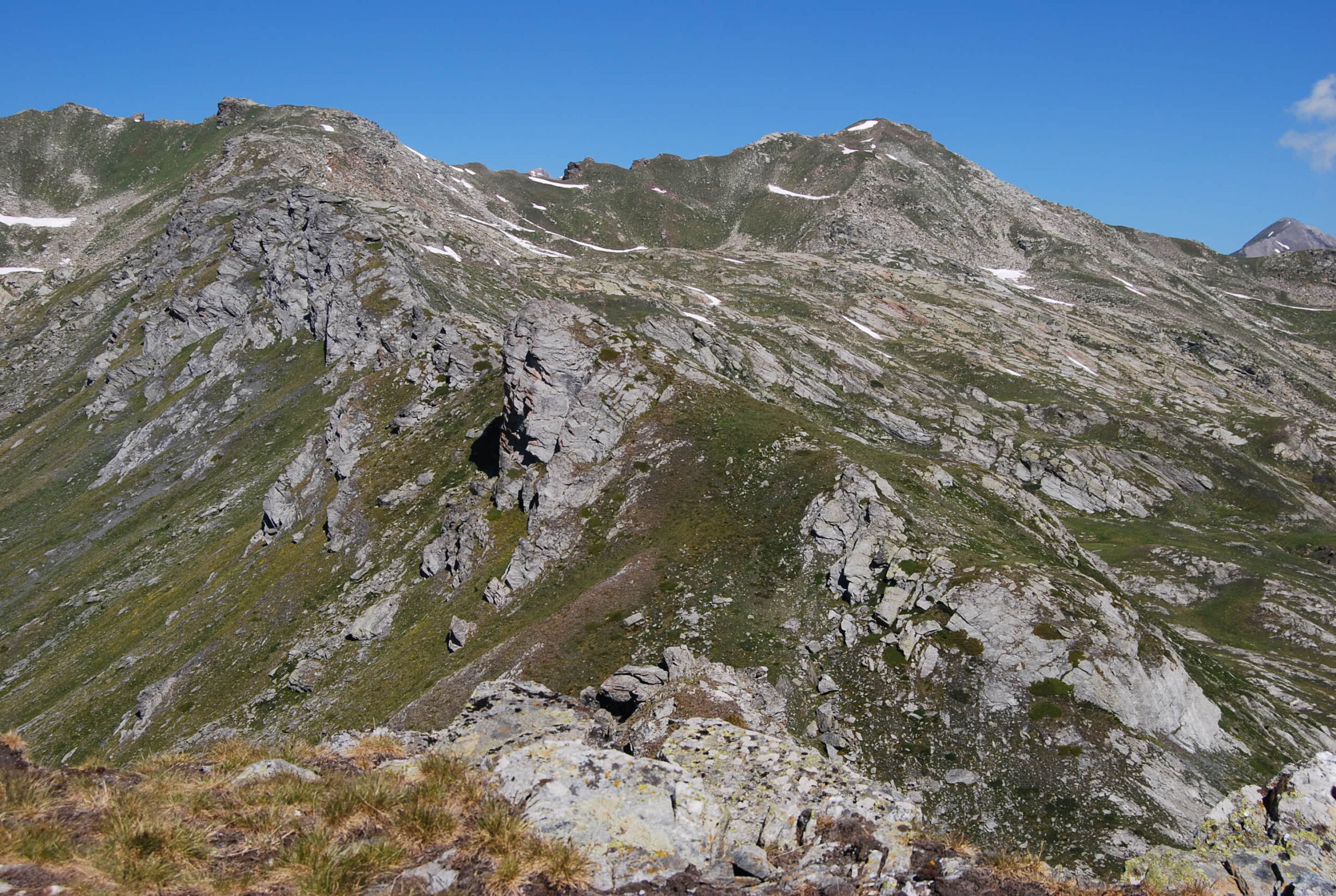
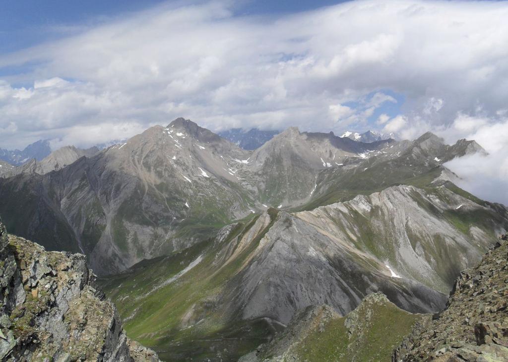
Ridiscesi al colle, si sale per tracce la dorsale opposta, prevalentemente di erba e detriti, raggiungendo la Testa dei Frà 2819 m.
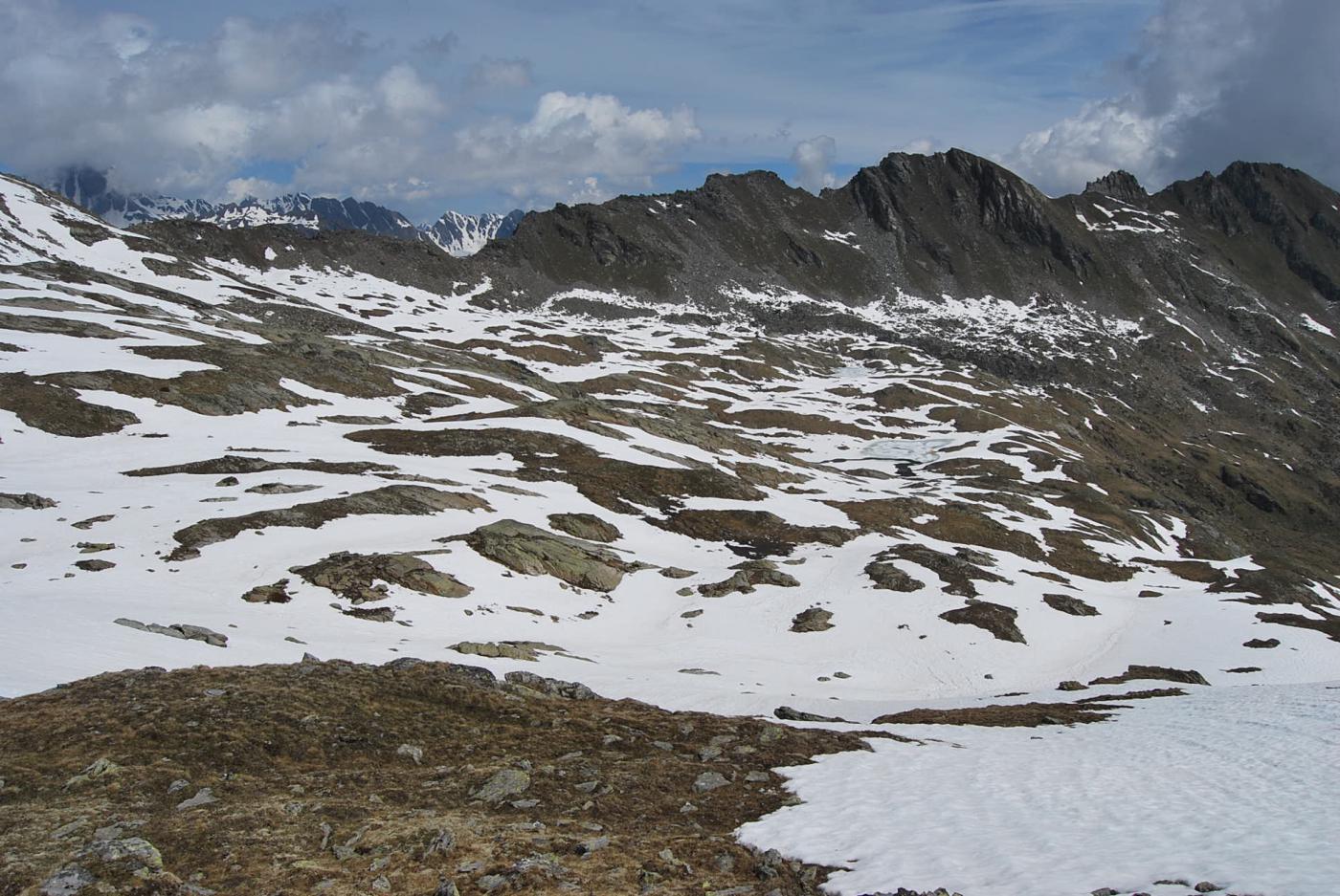
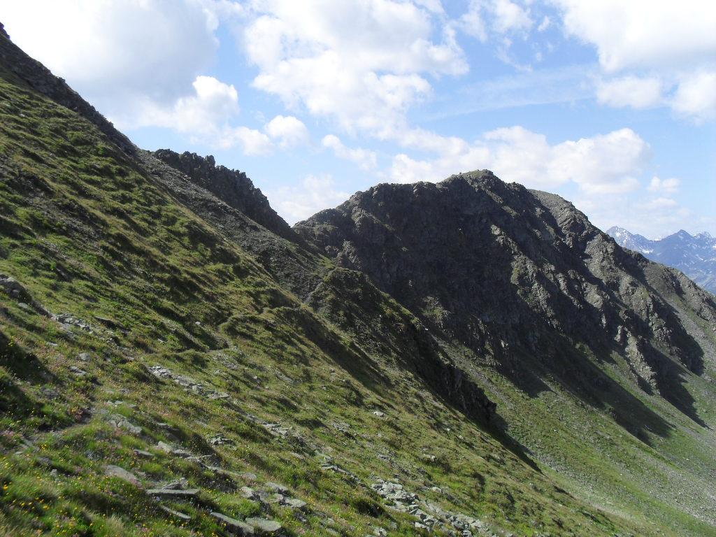
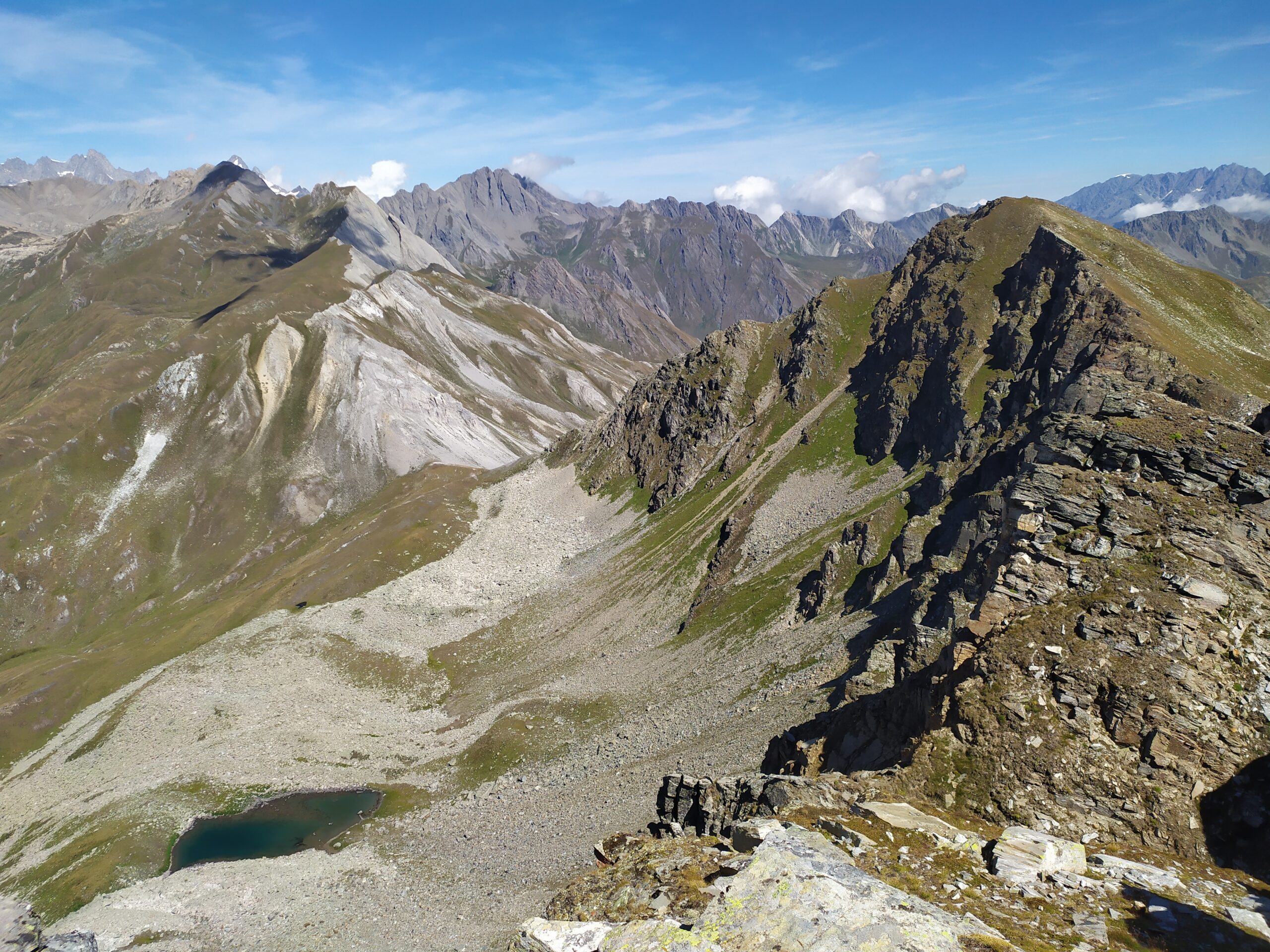
Si valica sul versante opposto, verso i Laghi di Dzioule, cercando di non perdere troppa quota, giungendo nella conca posta al di sotto della Testa di Serena. qui, senza percorso obbligato ma evitando le zone di pietraia, si sale alla cima 2830 m.
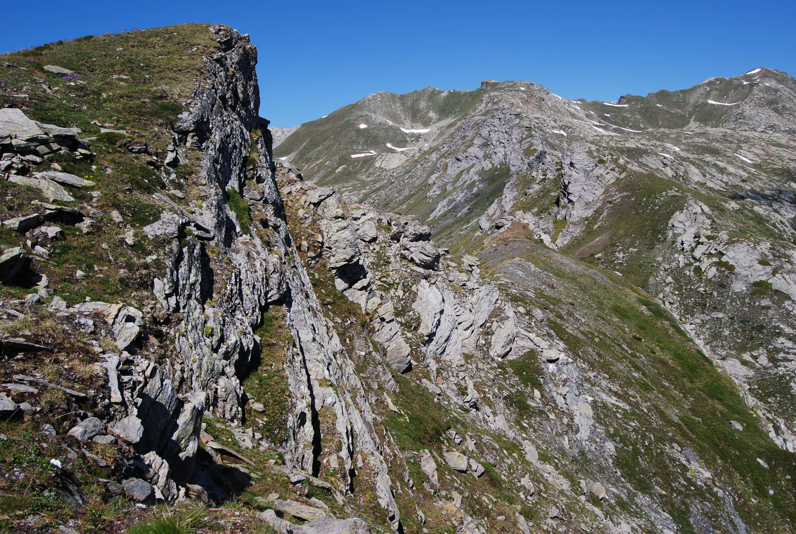
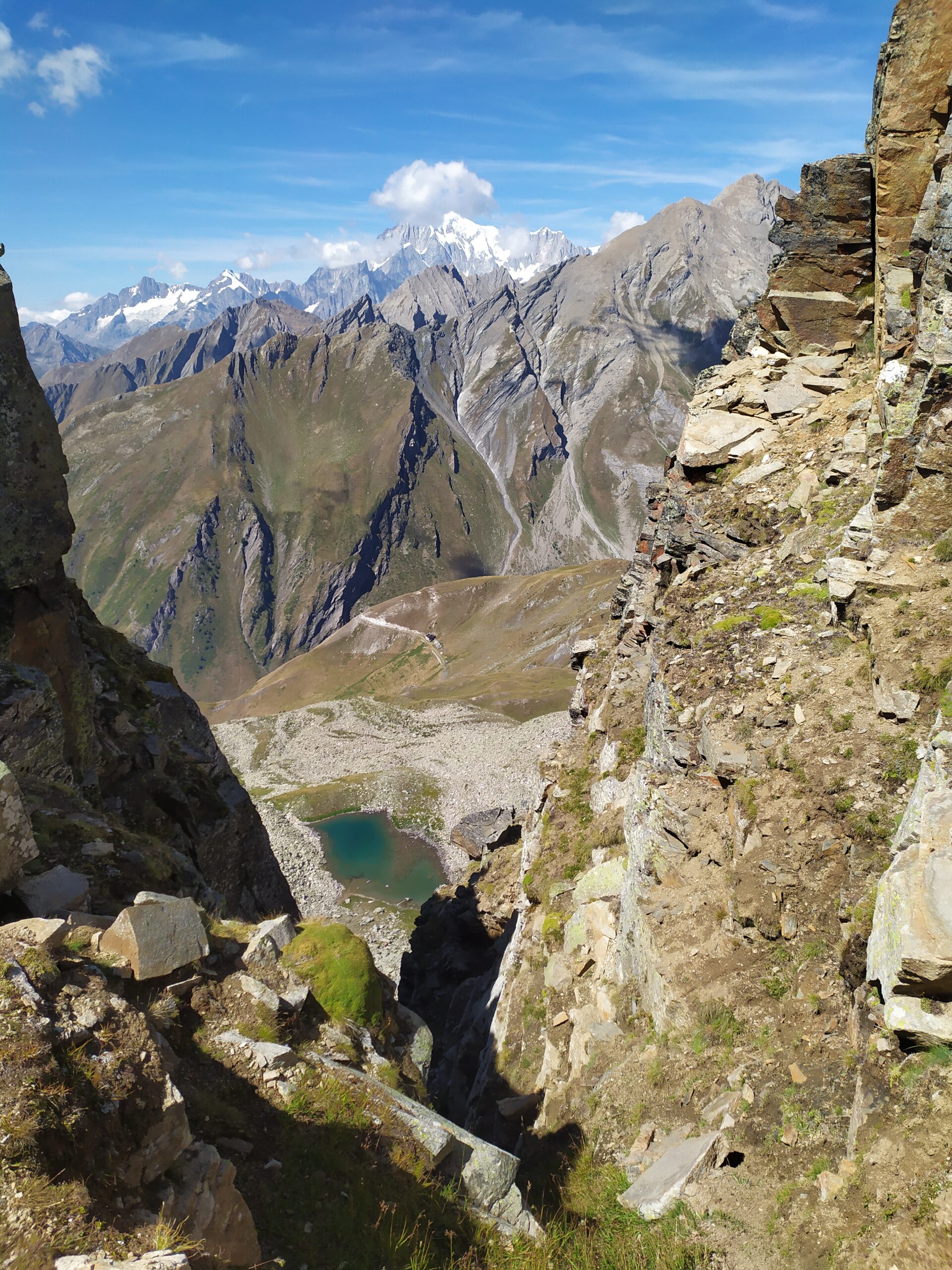
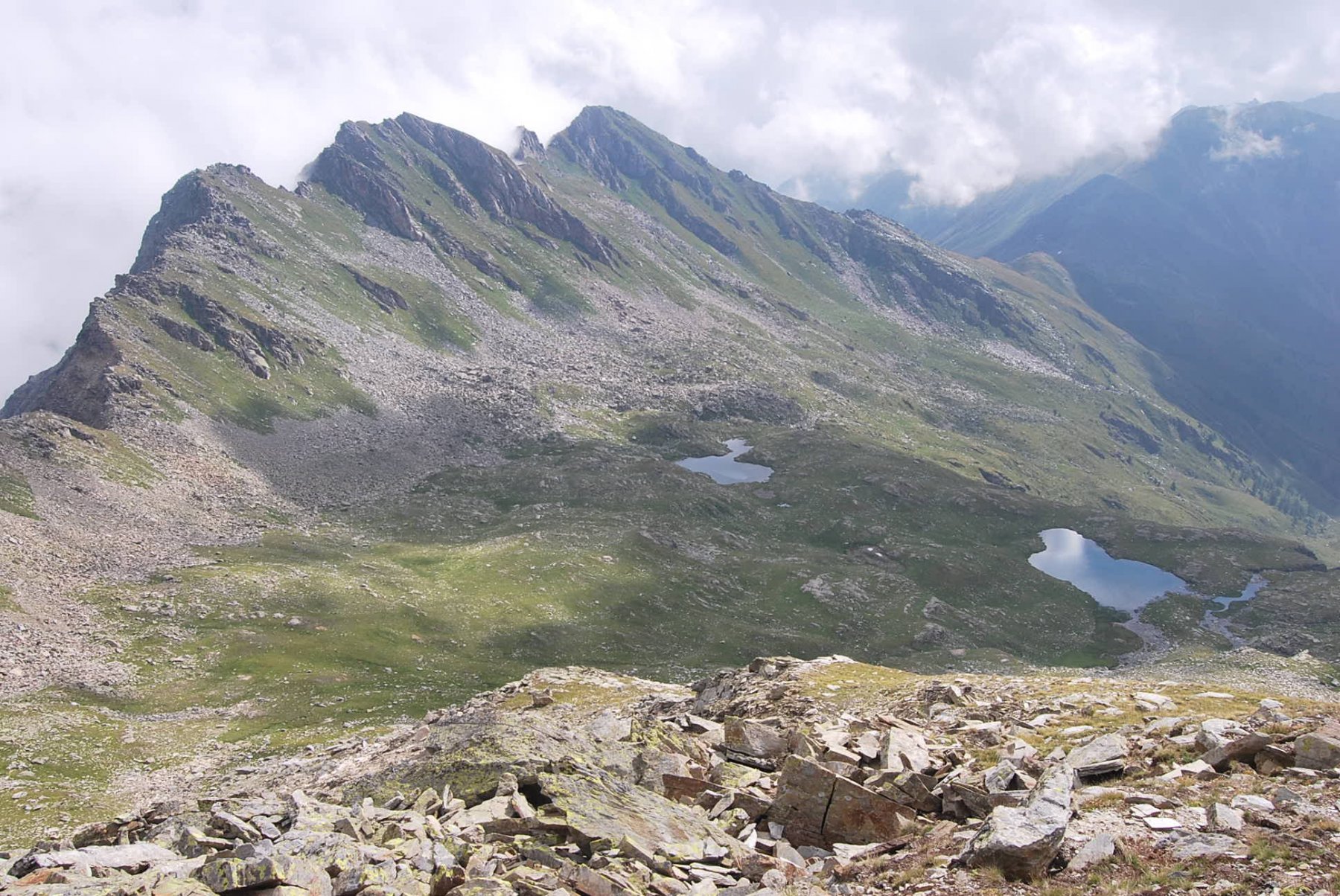
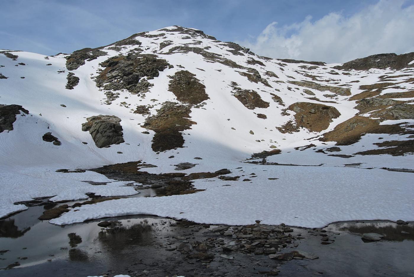
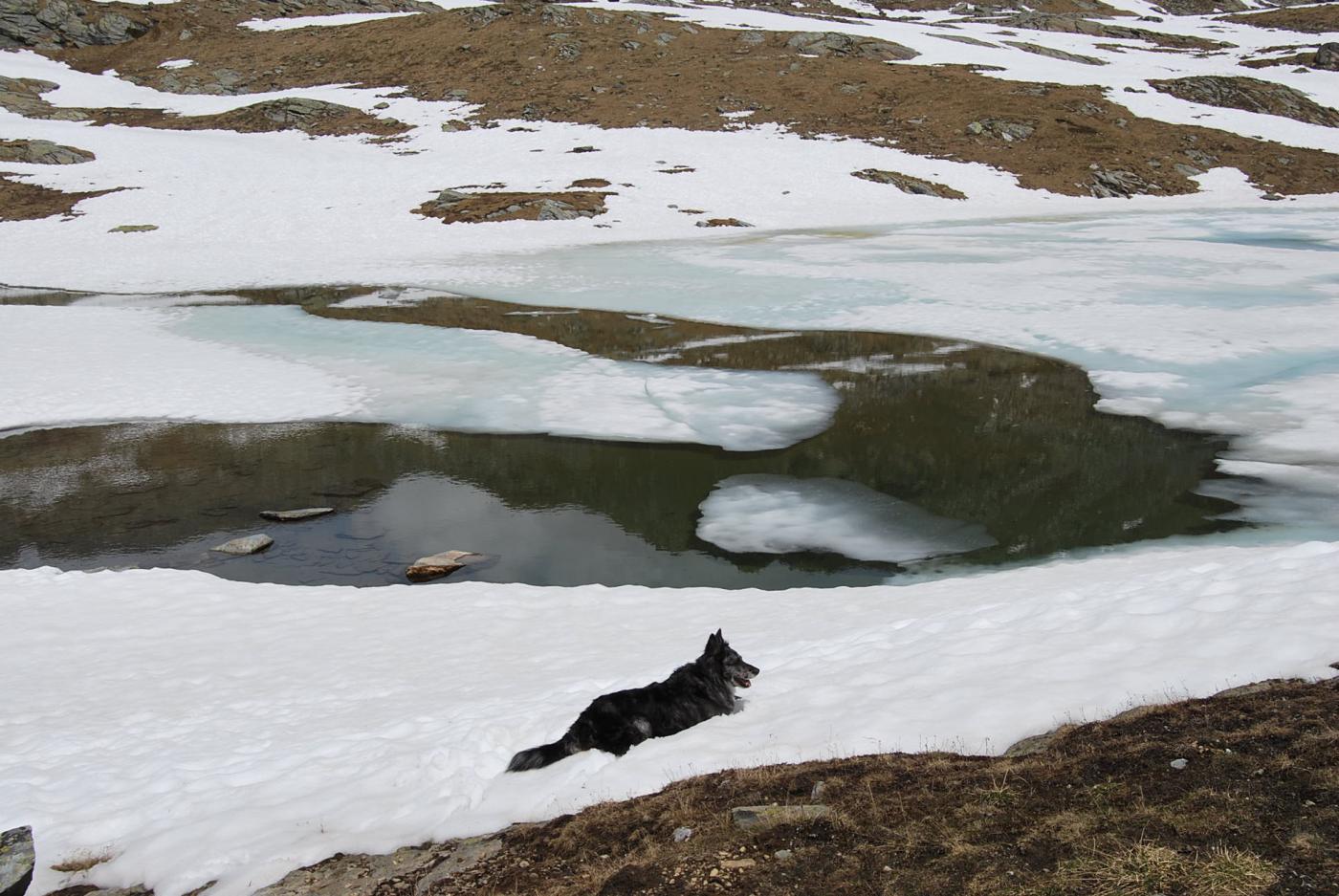
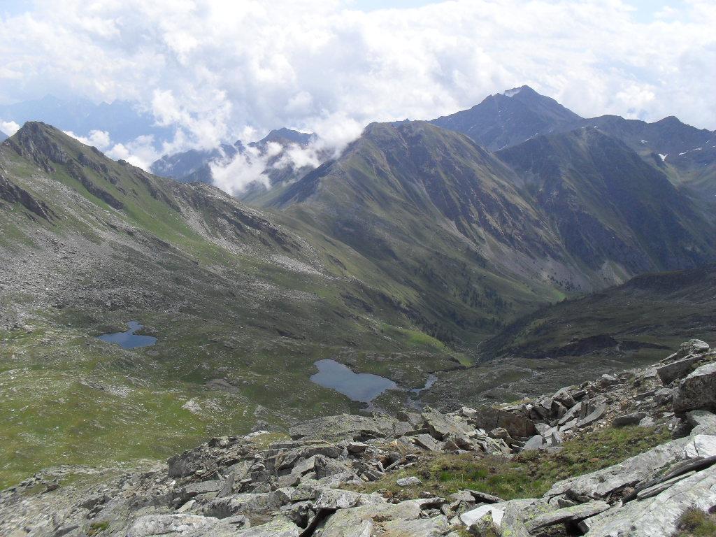
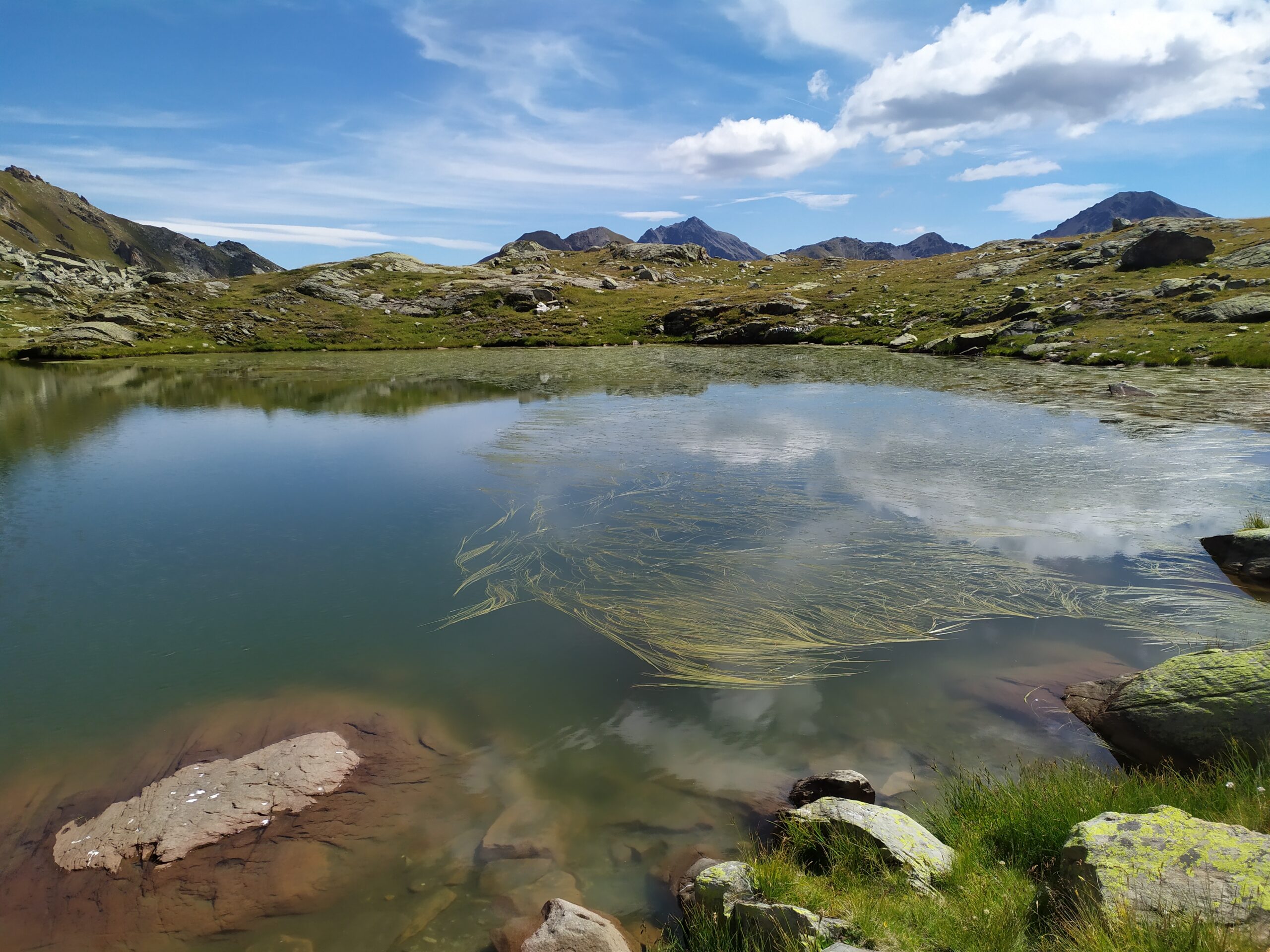
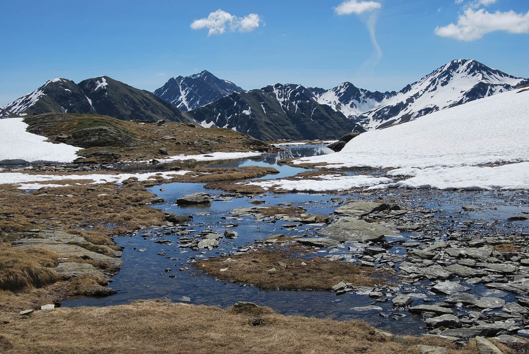
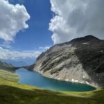
La discesa avviene nella valletta sottostante fino al primo grosso ripiano, per poi individuare alcuni ometti che si spostano verso sinistra, per un nuovo pendio di erba e qualche pietraia (sempre evitabile) fino al raggiungimento dei Laghi di Dzioule 2540 m il principale (altri più piccoli poco sopra). A nord del lago, poco più in basso, si trova affacciato sul vallone di Vertosan il nuovo bivacco Claudio Bredy.
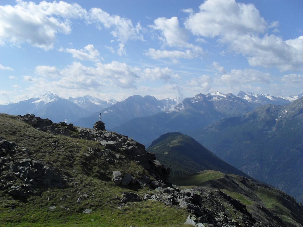
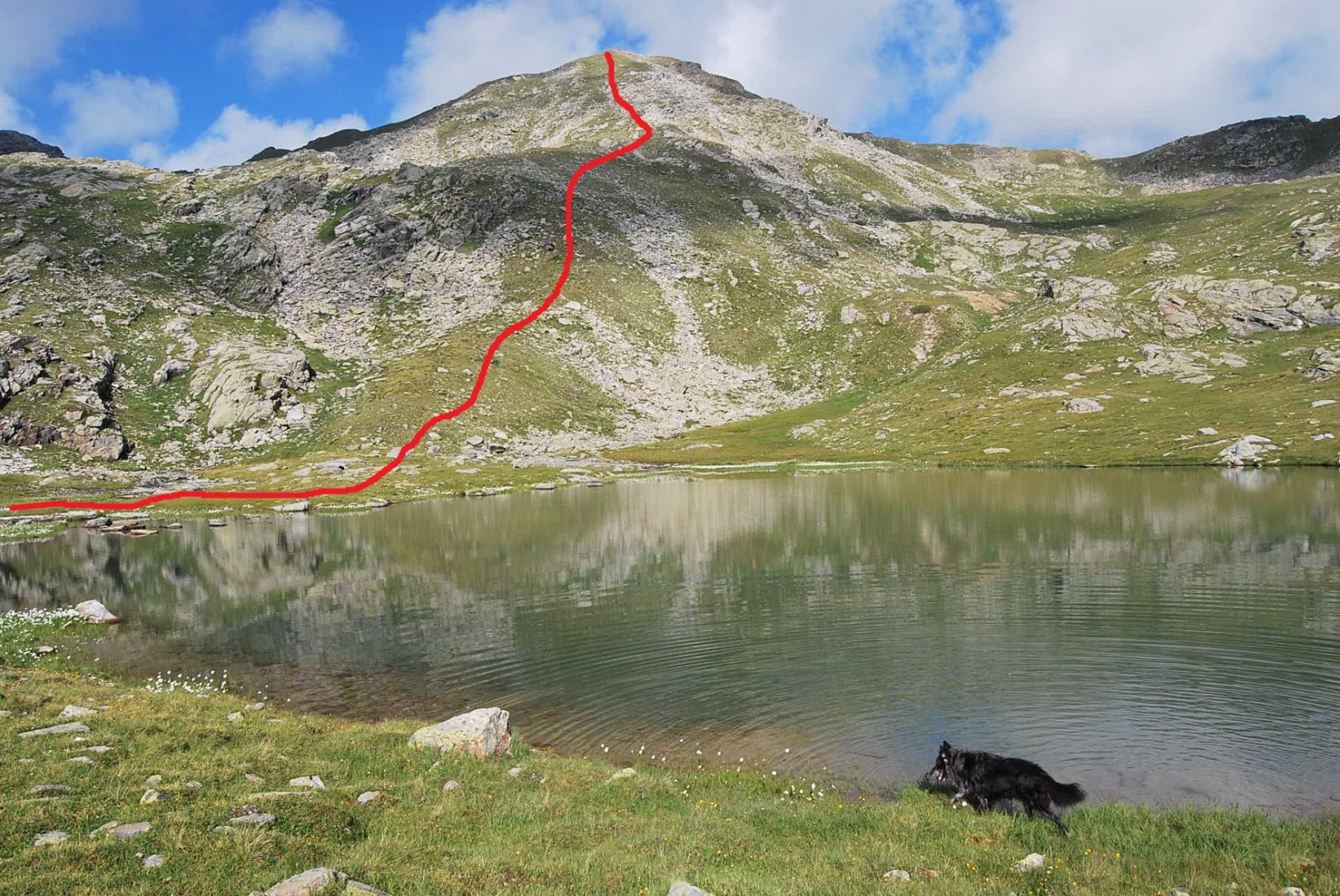
Qui si intercetta il sentiero n.11, poco segnato, che costeggia il lago sulla sponda est per evitare zone acquitrinose, e con qualche leggero saliscendi ed una risalita breve porta all’evidente intaglio del Colle di Dzioule 2520 m, posto sotto l’omonima punta.
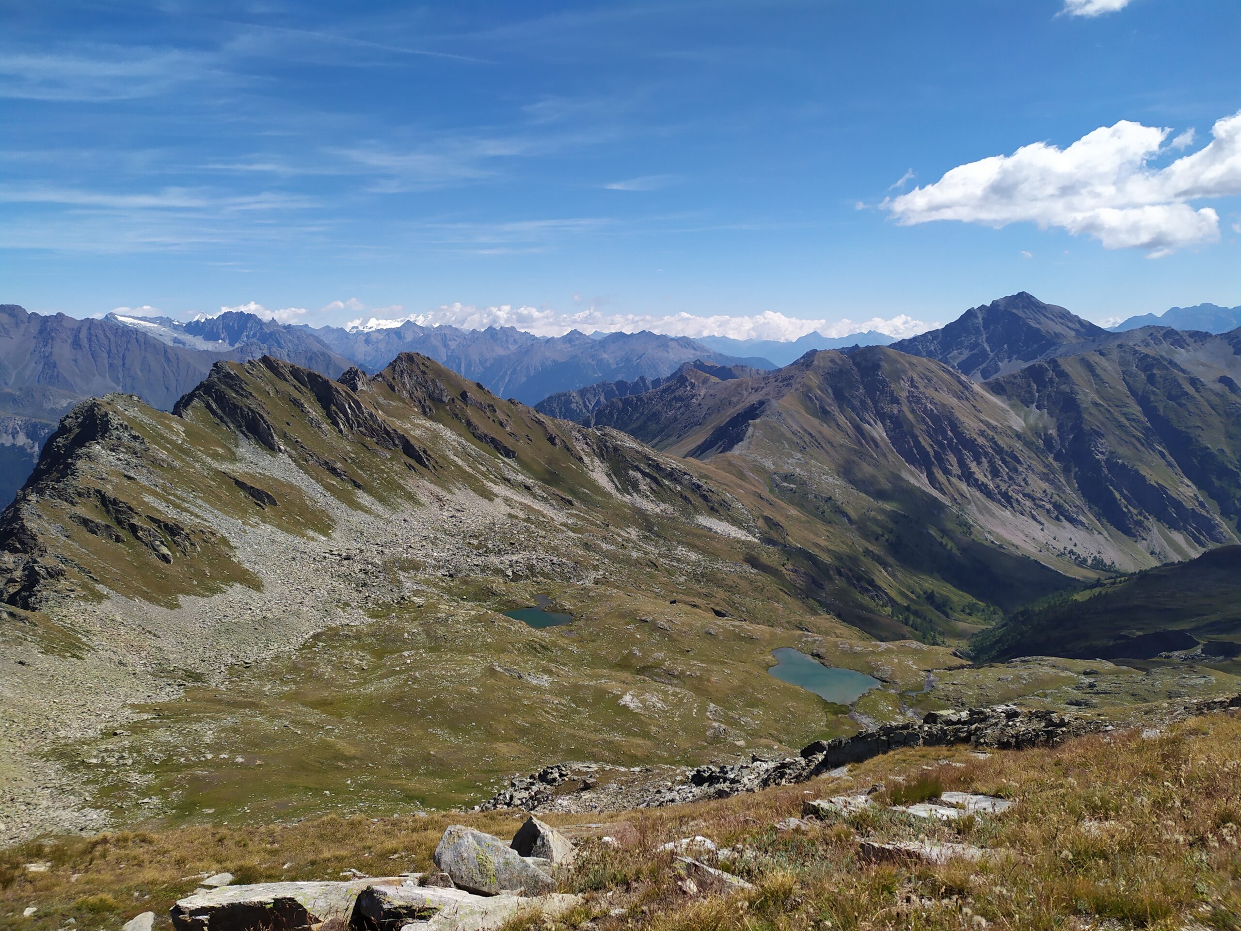
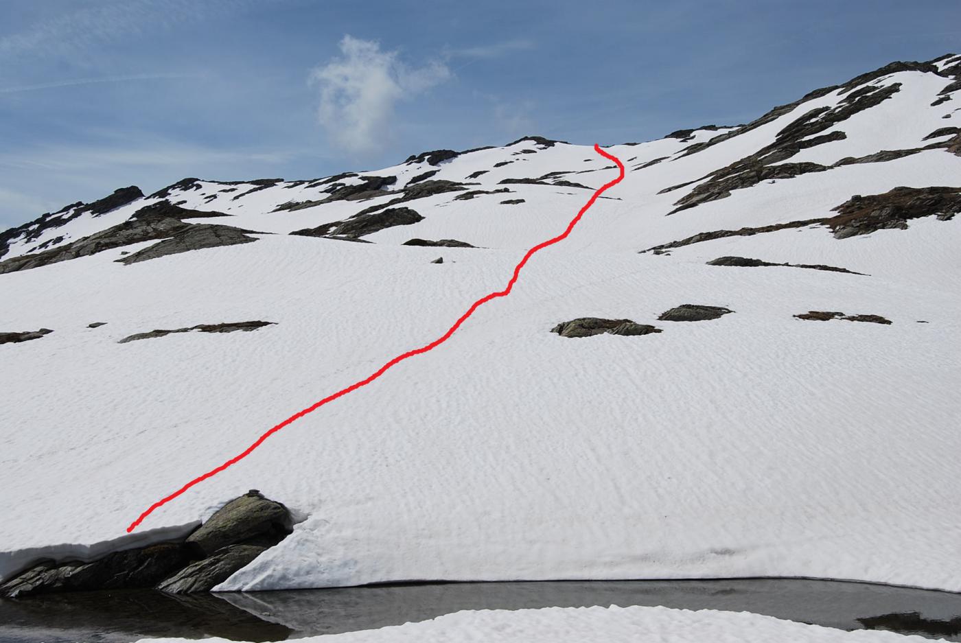
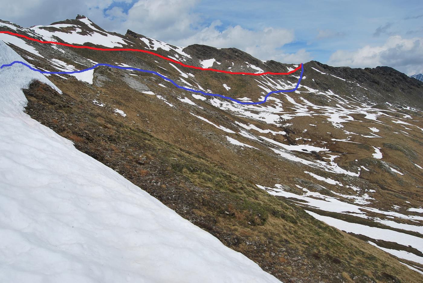
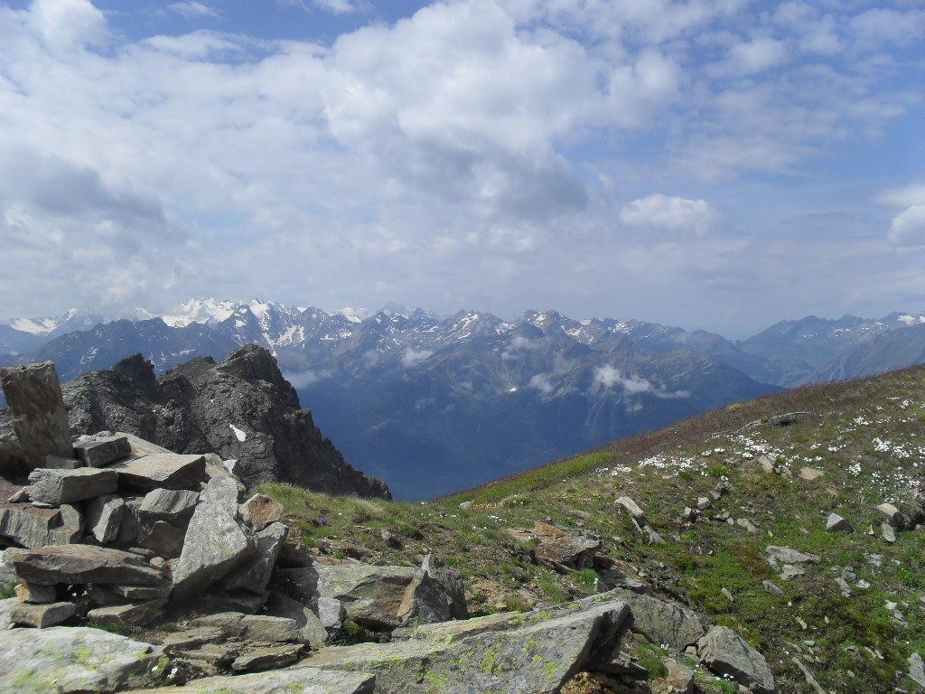
Per salire anch’essa, la soluzione più semplice è di proseguire in discesa verso il bellissimo altopiano sospeso sotto la Testa dei Frà per circa 80 m di dislivello; quando si arriva al primo pianoro, deviare a sinistra per aggirare il versante più ripido della Punta di Dzioule. Raggiunto un costone erboso a sud-est, lo si risale senza percorso obbligato (un po’ faticoso ma elementare) fino alla panoramica vetta 2581 m.
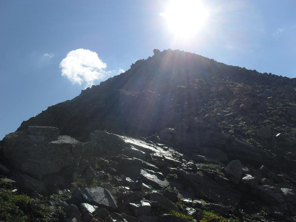
Si ridiscende al pianoro precedente, e quasi subito si abbandona la traccia del sentiero n.11 che porterebbe a Jovençan nel vallone di Vertosan, procedendo invece per vaghe tracce in direzione del Col Fetita. Dopo aver attraversato l’altopiano e oltrepassato numerosi rigagnoli (almeno ad inizio stagione) si risale la china per circa 100 m di dislivello ritornando al colle, e da questo per il percorso già affrontato all’andata si fa ritorno a Morge (o eventualmente a Challancin per chi fosse partito da lì).
Nelle vicinanze Mappa
Itinerari
20/06/2026 AO, La Salle D+ 1174 m EE Sud-Ovest
Frà (Testa dei) da Morge per il Colle Fetita
 0m
0m
10/11/2024 AO, La Salle D+ 1000 m EE Varie
Fetita (Punta) o Falita da Morge, anello per crestone SO e Col Fetita
 50m
50m
29/07/2023 AO, La Salle D+ 973 m E Varie
Fetita (Punta) o Falita da Morge
 50m
50m
10/06/2017 AO, La Salle D+ 1173 m EE Varie
Valletta (Punta) da Morge, traversata a Saint Rhemy per i Laghi di Dzioule
 50m
50m
17/06/2019 AO, La Salle D+ 400 m E Varie
Les Ors (Lago di) da Morge, anello
 50m
50m
17/08/2025 AO, Morgex D+ 1295 m E Varie
Battaglione Aosta (Colle) da Morge, traversata in Val Ferret
 200m
200m
28/06/2026 AO, La Salle D+ 1500 m E Varie
Liconi (Testa di) da Morge
 200m
200m
24/09/2015 AO, La Salle D+ 1500 m EE/F Tutte
Liconi (Testa di) da Morge, anello per la Testa Drumiana
 200m
200m
07/01/2017 AO, La Salle D+ 1090 m EE Varie
Fetita (Col) o Falita da Cheverel, anello per Vedun e Charvaz
 900m
900m
26/11/2022 AO, Morgex D+ 322 m E Varie
Liconi (Alpeggi) da Grassey, anello per Villotte
 1.1Km
1.1Km